Grike is the the beginning of Lakeland from the west. Approaching from Whitehaven an industrial belt has first to be crossed to Cleator Moor, after which follows an attractive undulating countryside watered by the Ehen, until, quite sharply Grike and Crag Fell dominate the view ahead, with a glimpse of greater fells beyond closing in the valley of Ennerdale.
Map and Photo Gallery
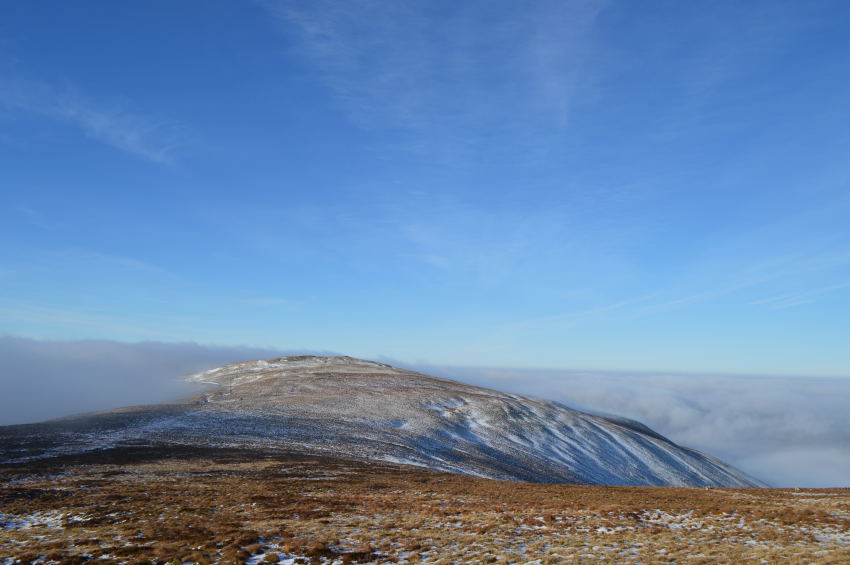
Cloud inversion approaching Grike.
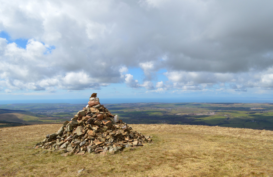
Grike impressive summit cairn
There are 4 walks to choose from including Grike
Caw Fell from Cold Fell Road
13th May 2023
ASCENT:
2,883 Feet - 878 Metres
MILES:
12.6
WAINWRIGHTS:
4, Grike - Crag Fell - Caw Fell - Lank Rigg
ROUTE:
Cold Fell Road - Blakeley Moss - Red Moss - Grike - Crag Fell - Black Pots - Iron Crag (Ennerdale Fell) - Caw Fell - Iron Crag (Ennerdale Fell) - Whoap - Lank Rigg - Whoap Beck - Cold Fell Road
Walking the Wainwrights in 30 Walks Walk 11 - Caw Fell to Grike from Monks Bridge
30the April 2016
ASCENT:
3,200 Feet - 975 Meters
MILES:
14.7
WAINWRIGHTS:
4, Caw Fell - Lank Rigg - Crag Fell - Grike
ROUTE:
Monks Bridge - Tongue How - Worm Gill - Caw Fell - Iron Crag - Whoap - Lank Rigg - Whoap - Crag Fell - Grike - Blakeley Moss - Kinniside Stone Circle