Ridge walkers on the more frequented western fells will occasionally notice the isolated summit of Lank Rigg appearing on the skyline and almost certainly will need to refer to the map to determine its identity, for this is a fell most visitors have never heard of and few know sufficiently well to recognise on sight.
Map and Photo Gallery
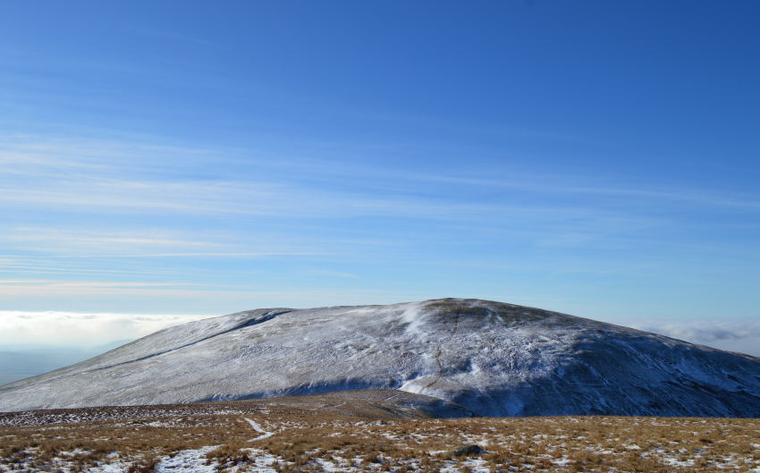
Lank Rigg from Whoap.
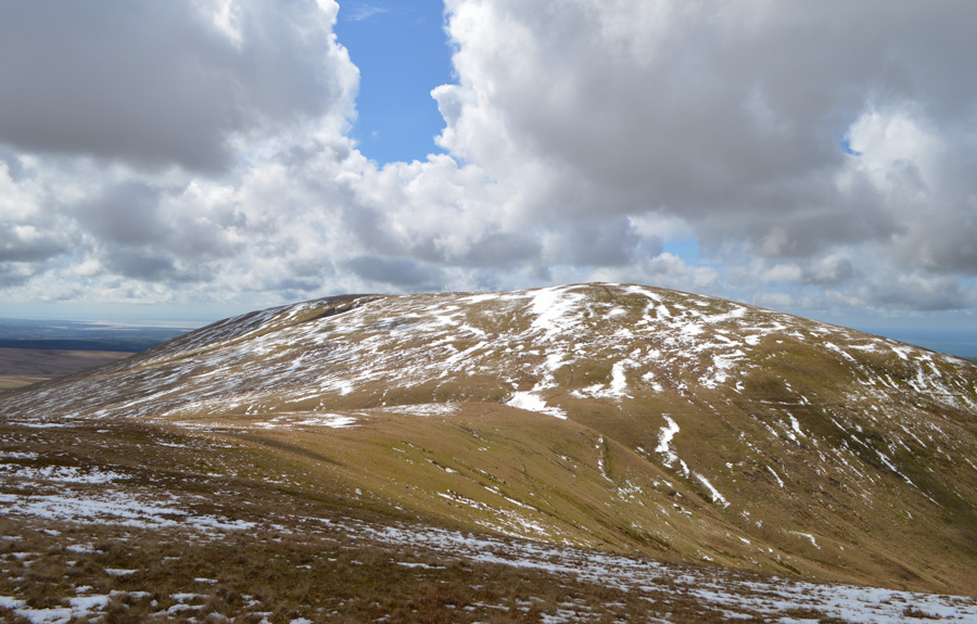
Lank Rigg seen over the top of Red Gill.
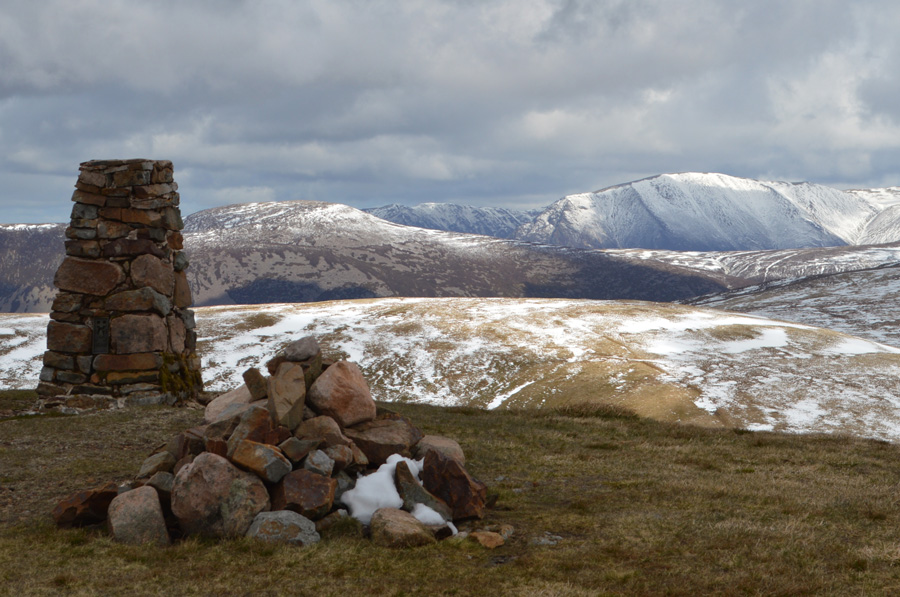
Lank Rigg summit Trig Point and cairn
There are 4 walks to choose from including Lank Rigg
Caw Fell from Cold Fell Road
13th May 2023
ASCENT:
2,883 Feet - 878 Metres
MILES:
12.6
WAINWRIGHTS:
4, Grike - Crag Fell - Caw Fell - Lank Rigg
ROUTE:
Cold Fell Road - Blakeley Moss - Red Moss - Grike - Crag Fell - Black Pots - Iron Crag (Ennerdale Fell) - Caw Fell - Iron Crag (Ennerdale Fell) - Whoap - Lank Rigg - Whoap Beck - Cold Fell Road
Walking the Wainwrights in 30 Walks Walk 11 - Caw Fell to Grike from Monks Bridge
30the April 2016
ASCENT:
3,200 Feet - 975 Meters
MILES:
14.7
WAINWRIGHTS:
4, Caw Fell - Lank Rigg - Crag Fell - Grike
ROUTE:
Monks Bridge - Tongue How - Worm Gill - Caw Fell - Iron Crag - Whoap - Lank Rigg - Whoap - Crag Fell - Grike - Blakeley Moss - Kinniside Stone Circle