Rannerdale Knotts

Overview
Height: 1,160 Feet - 355 Metres
Grid Ref: NY 167 182
Area: North Western
Group: NW/GRA
Ordnance Survey: OL4
Wainwright Guidebook: Six

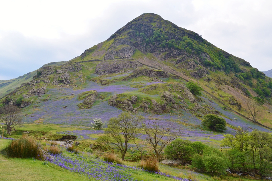
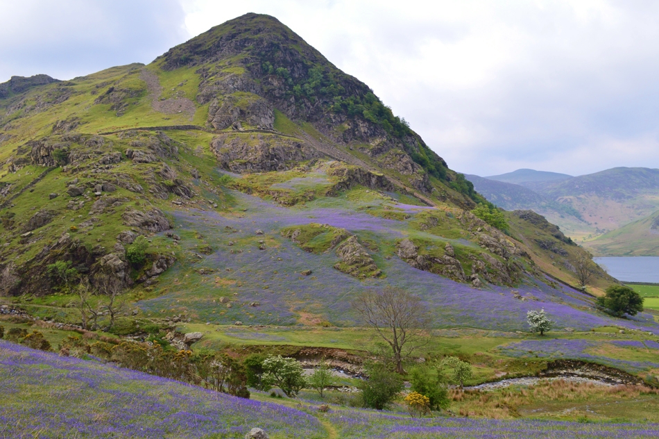
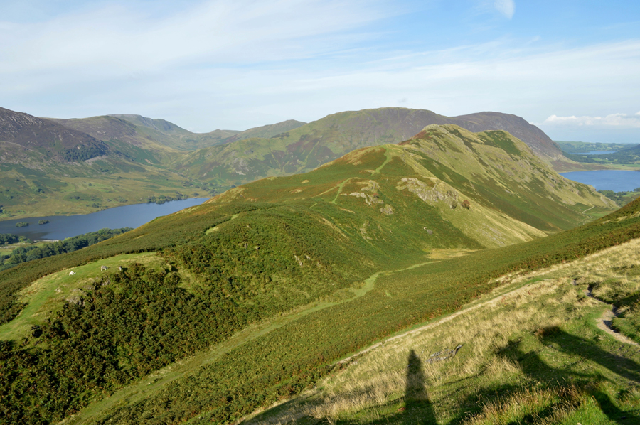
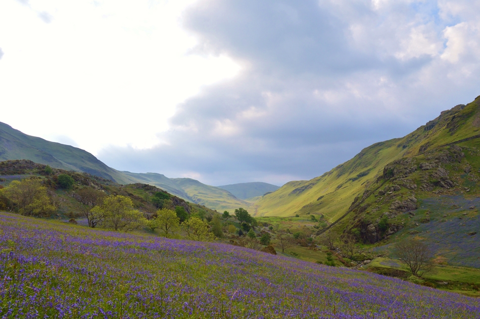
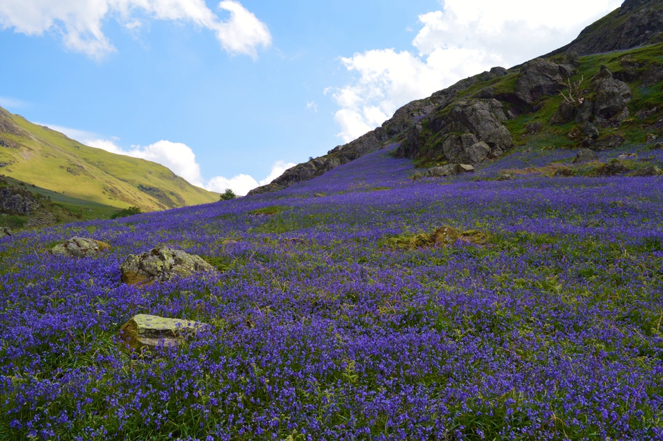
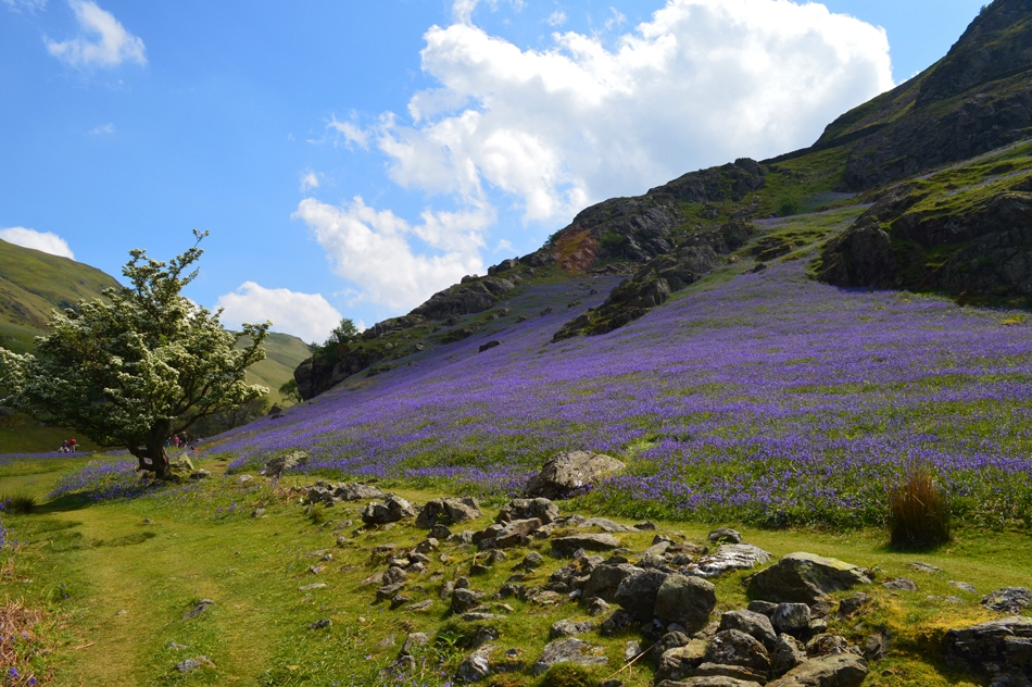
Rannerdale is seen by most visitors to Buttermere – but only as a farm and a cottage and a patchwork of fields on the shore of Crummock Water: a pleasant green oasis in the lap of shaggy fells, but remarkable.

Rannerdale has a place in history as the setting of a fierce battle in which the Norman Invaders were ambushed and routed by the English in the years after the conquest.

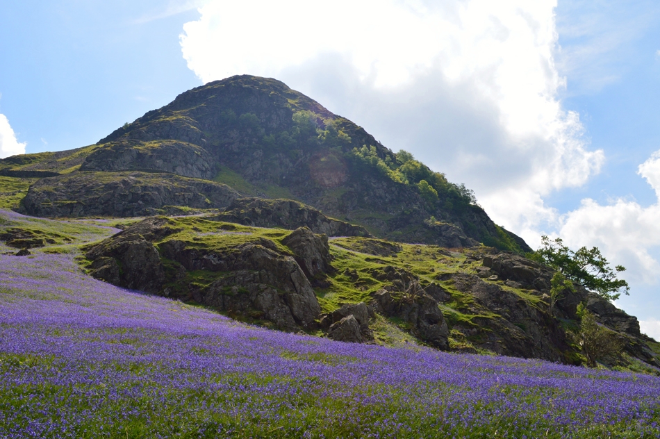
This is Rannerdale Knotts, a mountain in miniature, and a proud one. Not even Gable has witnessed a real battle! And, what’s more, our side won!!


Map and Photo Gallery


Rannerdale Knotts during Bluebell season.

Rannerdale Knotts.

Rannerdale Knotts andLow Banks seen over Squat Beck.

Rannerdale Knotts.

Rannerdale.

The Rannerdale Bluebells.

The Rannerdale Bluebells.


There are 4 walks to choose from including Rannerdale Knotts

Walking the Birketts, Grasmoor to Whiteless Pike Circuit

View this walk

23rd March 2019
ASCENT: 3,040 Feet - 927 Metres
MILES: 6.4
BIRKETTS: 6, Lad Hows - Grasmoor - Wandope - Thirdgill Head Man - Whiteless Pike - Rannerdale Knotts
ROUTE: Rannerdale Farm - Squat beck - Lad Hows - Grasmoor - Wandope - Thirdgill Head Man - Whiteless Edge - Whiteless Pike - Low Bank - Rannerdale Knotts - Rannerdale Farm
 

Walking the Wainwrights in 30 Walks - Walk 29 Rannerdale Knotts to Barrow

View this walk

27th August 2016
ASCENT: 5,898 Feet - 1,798 Meters
MILES: 15.9
WAINWRIGHTS: 13, Rannerdale Knotts - Whiteless Pike - Wandope - Grasmoor - Whiteside - Hopegill Head - Grisedale Pike - Eel Crag (Crag Hill) - Sail - Scar Crags - Causey Pike - Outerside - Barrow
ROUTE: Rannerdale Farm - Rannerdale Knotts - Whiteless Breast - Whiteless Pike - Whiteless Edge - Wandope - Grasmoor - Coledale Hause - Sand Hill - Whiteside - Hopegill Head - Grisedale Pike - Coledale Hause - Eel Crag (Crag Hill) - Sail - Scar Crags - Causey Pike - High Moss - Outerside - Barrow Door - Barrow - Braithwaite
 

The Rannerdale Bluebells


18th May 2014
ASCENT: 2,677 Feet, 795 Meters
MILES: 7.7
WAINWRIGHTS: 3, Whiteless Pike – Wandope – Rannerdale Knotts
ROUTE: Cinderdale Common – Rannerdale – Squat Beck – Whiteless Breast – Whiteless Pike – Whiteless Edge – Thirdgill Head Man – Wandope – Wandope East Ridge – Track Above Sail Beck – Third Gill – Bleak Rigg – Low Bank – Rannerdale Knotts – Hause Point – Rannerdale – Cinderdale Common
 

The NW Fells from Lanthwaite Green

View this walk

20th January 2011
ASCENT: 1,814 Meters, 5,951 Feet
MILES: 8.9
WAINWRIGHTS: 5, White Side, Hopegill Head, Wandope, Whiteless Pike & Rannerdale Knotts
ROUTE:  
 

Back to top