|
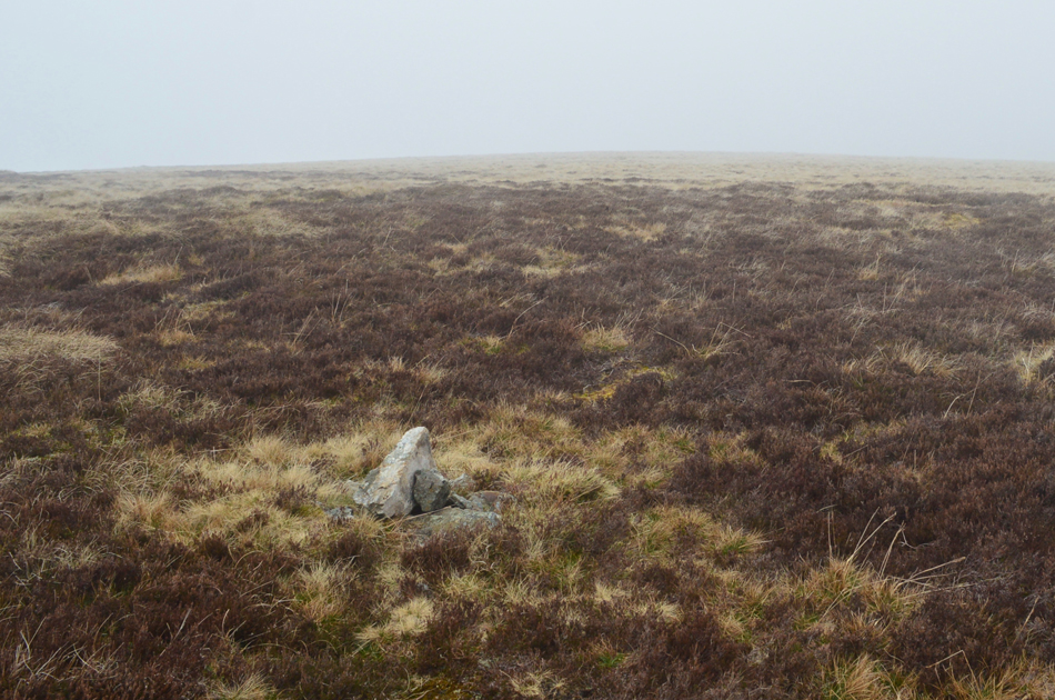
Hare Stones |
 |
 |
Overview |
 |
|
| Height: |
2,057 Feet - 627 Metres |
| Grid Ref: |
NY 315 343 |
| Area: |
Northern |
| Group: |
N/NOS |
| Ordnance Survey: |
OL5 |
|
| |
|
Map and Photo Gallery |
|
|
|
| |
|
Walks including Hare Stones are:- |
|
|
Longlands Fell to Fell Side from Longlands |
|
|
 |
|
15th March 2025 |
| ASCENT: |
2.640 Feet - 804 Metres |
| MILES: |
12 |
| WAINWRIGHTS: |
5, Longlands Fell - Brae Fell - Great Sca Fell - Knott - High Pike (Caldbeck) |
| ROUTE: |
Longlands - Longlands Fell - Lowthwaite Fell - Broad Moss - Brae Fell - Little Sca Fell - Great Sca Fell - Knott - Cumbrian Way - Lingy Hut - High Pike (Caldbeck) - Deer Hills - Hay Knott - Dale Beck - Fell Side - Branthwaite - Burblethwaite - Holborn - Cumbrian Way - Longlands |
|
| |
|
Walking the Birketts, Over Carrock Fell, High Pike and Knott |
|
|
|
|
28th April 2018 |
| ASCENT: |
2,501 Feet - 763 Metres |
| MILES: |
10.1 |
| BIRKETTS: |
9, Carrock Fell - Round Knott - Miton Hill - High Pike - Hare Stones - Great Lingy Hill - Little Lingy Hill - Knott - Coomb Height |
| ROUTE: |
Apronful of Stones - The Trough - Carrock Fell - Round Knott - Miton Hill - High Pike - Hare Stones - Great Lingy Hill - Little Lingy Hill - Knott - Coomb Height - River Caldew - Mosedale - Apronful of Stones |
|
| |
| Back to top |
 |
|