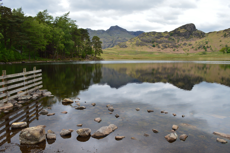
Layby A591, Grasmere - Broadgate - Red Bank - Allan Bank - Wray Gill - Silver How - Megs Gill - Great Langdale Beck - Cumbrian Way - Oak Howe - Side House - Side Pike - Lingmoor Fell - Slate Track (Dissued) - Baysbrown Woods - Burlington Slate Quarry - Cumbrian Way - Elterwater
Lingmoor Fell from Elterwater
11th October 2022
ASCENT:
1,752 Feet - 534 Metres
MILES:
8.5
WAINWRIGHTS:
Lingmoor Fell
ROUTE:
Elter Water - Elterwater - Sawrey's Woods - Baysbrown Wood - Lingmoor Fell - Side Pike - Side House - Great Langdale - Great Langdale Beck - New Bridge - Elterwater - Elter Water
Walking the Birketts, Lingmoor and Side Pike
18th May 2019
ASCENT:
1,469 Feet - 448 Metres
MILES:
5.3
BIRKETTS:
2, Lingmoor Fell (Brown How) - Side Pike
ROUTE:
Blea Tarn - Blea Moss - Little Langdale - Path Below Busk Pike - High Bield - Quarry Path - Lingmoor Fell (Brown How) - Side Pike - Blea Tarn