|
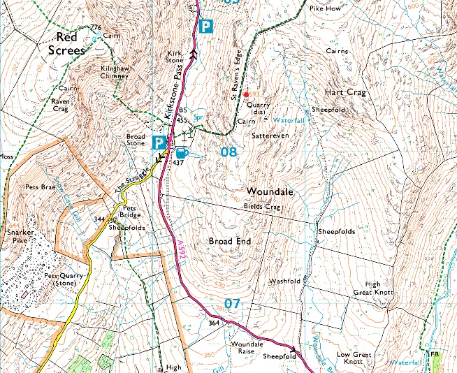
St Raven's Edge |
 |
 |
Overview |
 |
|
| Height: |
1945 Feet - 593 Metres |
| Grid Ref: |
NY 406 083 |
| Area: |
Far Eastern |
| Group: |
E/HST |
| Ordnance Survey: |
OL7 |
|
| |
|
Map and Photo Gallery |
|
|
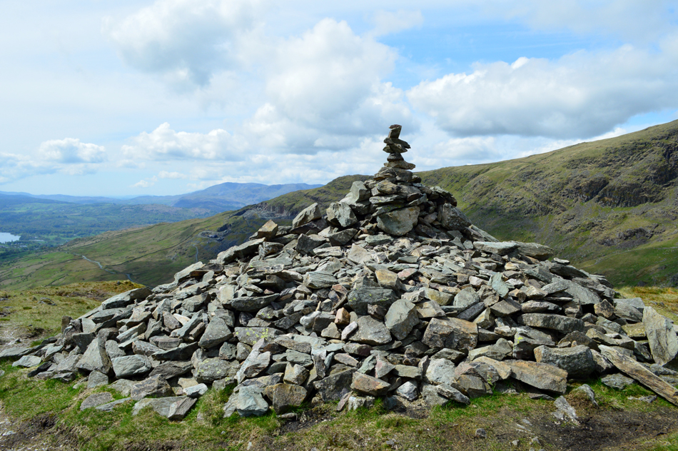 |
| St Raven's Edge impressive summit cairn. |
| |
|
| |
|
Walks including St Raven's Edge are:- |
|
|
Wansfell, Woundale & Red Screes from Ambleside. |
|
|
 |
|
12th May 2018 |
| ASCENT: |
3,823 Feet - 1,161 Metres |
| MILES: |
11.4 |
| WAINWRIGHTS: |
2, Wansfell Pike - Red Screes |
| ROUTE: |
Ambleside - Skelghyll Wood - Kelsick Scar - Wansfell Pike - Baystones (Wansfell) - Idle Hill - Kirkstone Pass - Woundale - St Raven's Edge - Top of Kirkstone Pass - Red Screes - Snarker Pike - Kirkstone Road - Ambleside |
|
| |
|
A Kirkstone Skyline |
|
|
|
|
12th March 2016 |
| ASCENT: |
3,130 Feet, 954 Meters |
| MILES: |
8.3 |
| WAINWRIGHTS: |
4, Hartsop Dodd - Caudale Moor (Stonycove Pike) - Red Screes - Middle Dodd |
| ROUTE: |
Cow Bridge - Hartsop Dodd - Caudale Moor (Stony Cove Pike) - St Raven's Edge - Kirkstone Pass Inn - Red Screes - Smallthwaite Band - Middle Dodd - Hartsop Hall - Brothers Water - Cow Bridge |
|
| |
|
The Kirkstone Pass Fells |
|
|
|
|
2nd March 2014 |
| ASCENT: |
3,130 Feet, 954 Meters |
| MILES: |
8.3 |
| WAINWRIGHTS: |
4, Hartsop Dodd – Caudale Moor (Stony Cove Pike) – Red Screes – Middle Dodd |
| ROUTE: |
Cow Bridge – Hartsop – Hartsop Dodd – Caudale Moor (Stony Cove Pike) – John Bell’s Banner – St Raven’s Edge – Kirkstone Pass – Red Screes – Middle Dodd – Hartsop Hall – Brothers Water – Cow Bridge |
|
| |
|
The Kirkstone Pass Fells |
|
|
|
|
28th April 2012 |
| ASCENT: |
3,215 Feet, 980 Metres |
| MILES: |
8.8 |
| WAINWRIGHTS: |
4, Middle Dodd, Red Screes, Caudale Moor (Stony Cove Pike) & Hartsop Dodd |
| ROUTE: |
Cow Bridge – Brothers Water – Hartsop Hall – Middle Dodd – Smallthwaite Band – Red Screes – Kirkstone Pass – St Ravens Edge – John Bell’s Banner – Caudale Moor (Stony Cove Pike) – Hartsop Dodd – Hartsop – Cow Bridge |
|
| |
| Back to top |
 |
|