 |
The Tongue |
 |
 |
Overview |
 |
|
| Height: |
1814 Feet - 553 Metres |
| Grid Ref: |
NY 347 301 |
| Area: |
Northern |
| Group: |
N/BLE |
| Ordnance Survey: |
OL5 |
|
| |
|
Map and Photo Gallery |
|
|
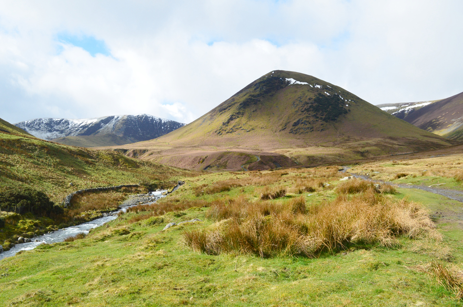 |
| The Tongue, Bannerdale Crags East Ridge and Bannerdale Crags. |
| |
|
| |
|
Walks including The Tongue are:- |
|
|
Walking the Birketts, Bowscale Fell by Bowscale Tarn |
|
|
 |
|
17th March 2019 |
| ASCENT: |
1,666 Feet - 508 Metres |
| MILES: |
5.5 |
| BIRKETTS: |
2, Bowscale Fell - The Tongue |
| ROUTE: |
Bowscale - Mosedale - Bowscale Tarn - Bowscale Fell - The Tongue - Bullfell Beck - River Glenderamackin - Mungrisdale - Bowscale |
|
| |
| Back to top |
 |
|
