Haystacks

14th December 2008


Wainwright Guidebook Seven

The Western Fells


Overview
Ascent: 1, 958 Feet - 597 Metres
Wainwrights: Haystacks
Weather: Dry ,Overcast ,Freezing On Tops
Parking: Gatesgarth Farm, Buttermere
Area: Western
Miles:  
Walking With: Stephen Harrison
Ordnance Survey: OL4 (1:25)
Time Taken:  
Route: Gatescarth Farm - Peggys Bridge - Top of Scarth Gap Pass - Haystacks - Blackbeck Tarn - Warnscale Bottom - Gatescarth Farm
 

Map and Photo Gallery


On our way to Buttermere and a quick picture of Dewent Water and Catbells under mist.
 

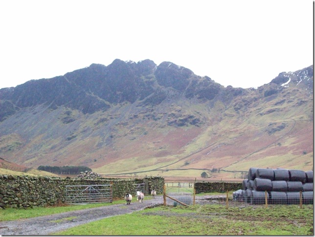
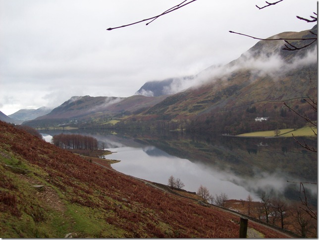
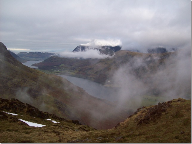
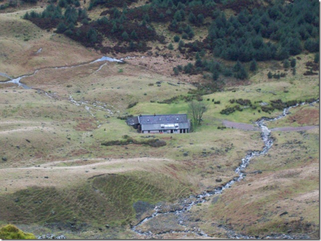
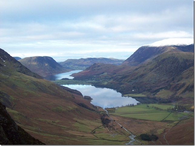
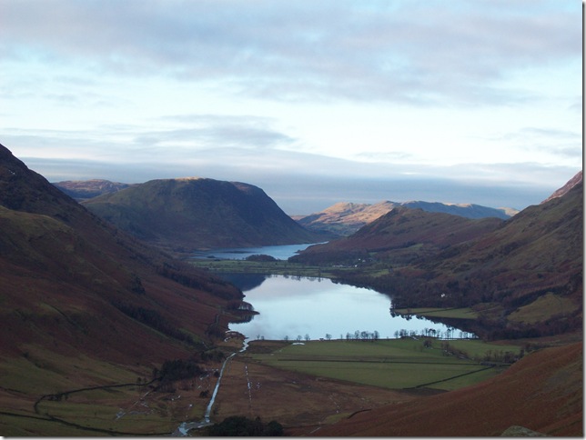
Haystacks seen here from Gatesgarth Farm.


Reflections on Buttermere.
 

Haystacks comes into view.
Haystacks and I’m not sure what the weather is going to do this morning. You can see the cloud creeping in and out just as quick as it came in.

Haystacks, Warnscale Bottom and Fleetwith Pike.
 

High Crag seen from the Scarth Gap Pass.
 

Looking back down Scarth Gap Pass with the cloud rolling in yet again.
 

Buttermere and Crummock Water from the top Scarth Gap Pass with a very white snow topped looking Grasmoor.
 

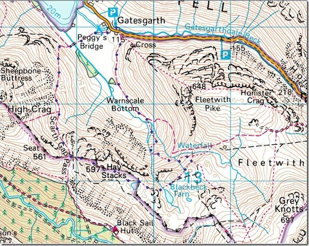
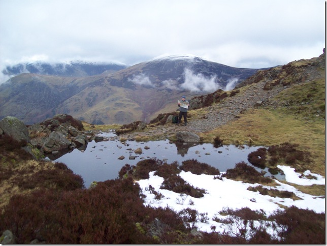
Oh no... Who gave Ste the Map? Now we're in trouble!


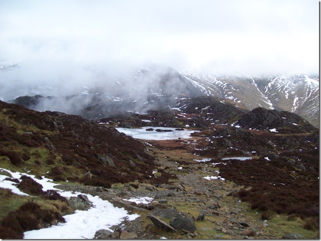
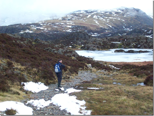
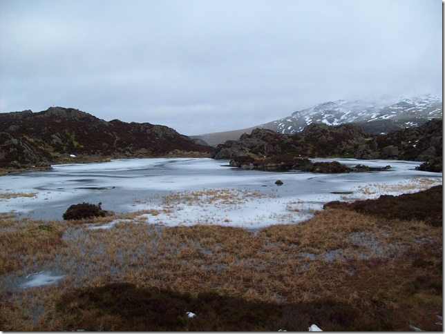
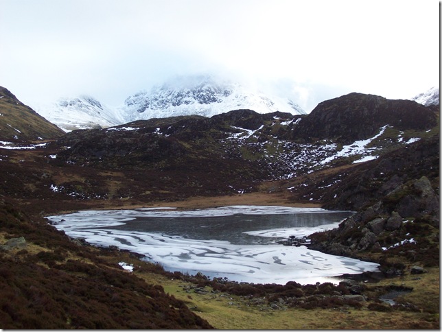
Making our way down to very Frozen Inominate Tarn.


A sceduled Inominate Tarn, just the way I like it.
 

Green Gable and Windy Gap to the left with Kirk Fell On the right.


Views in to The Ennerdale Valley with a snow topped Pillar on the left.
 

We were perched right above Black Sail Hut eating our sandwiches and drinking coffee just taking it all in.


A frozen Black Beck Tarn.
 

The sun making a rare glimpse looking towards Grey Knotts and Green Gable.
 

Perched boulder.
 

Great Gable making a show through the cloud.
 

Pillar Rock to the right.
 

Mellbreak centre with a very peaceful looking Buttermere and Crummock Water seen here from Wanscale Bottom.


Back to top