Grasmoor From Crummock Water

14th February 2010

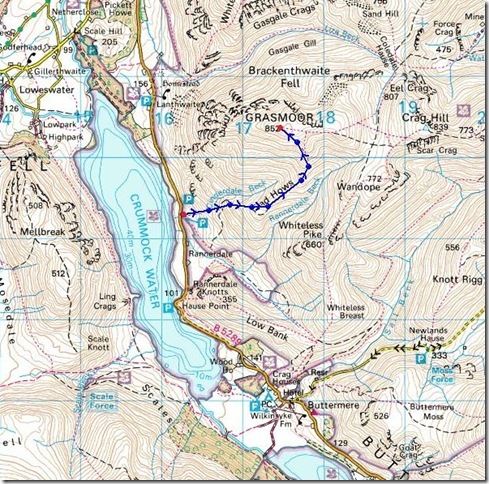
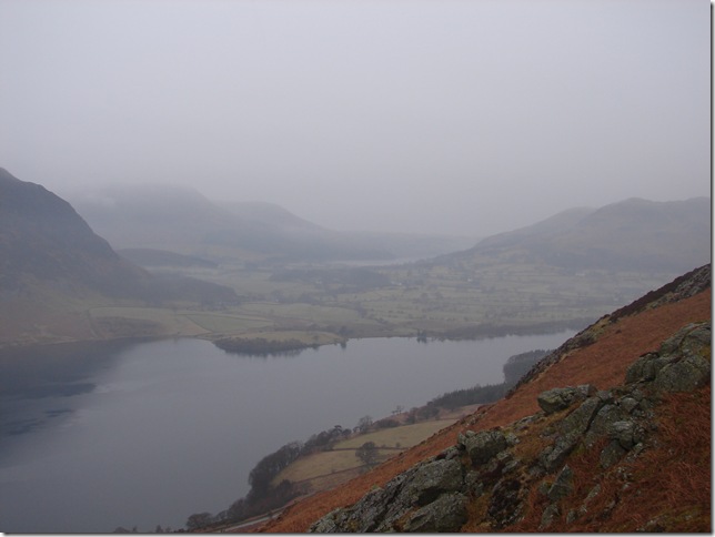
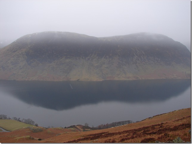
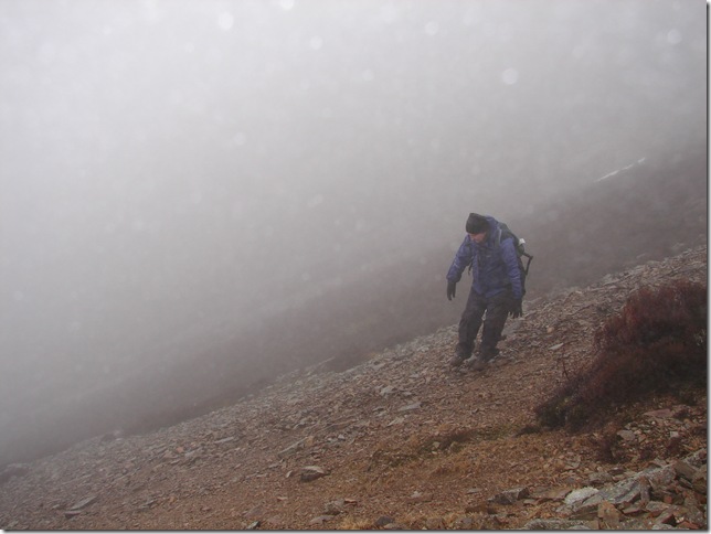
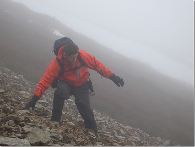
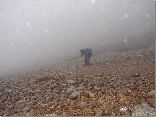
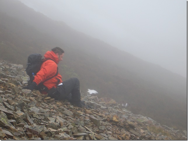
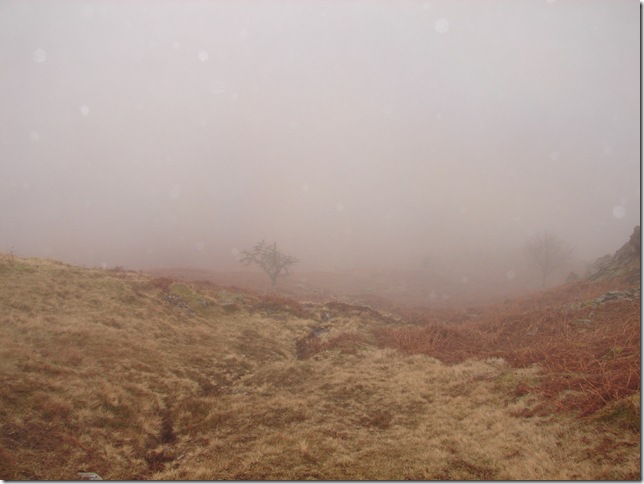
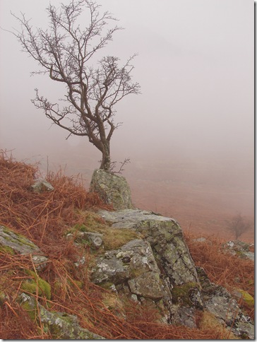
A walk up to Grasmoor was planned for today, maybe take in Crag Hill, Wandope, Whiteless Pike & Rannerdale Knotts & given the week Id had (Id caught the black death the usual two days before a trip out!) all in all a possible 5 Wainwrights to be had & with the promising weather forecast what could go wrong? Well one thing did midweek in that my Garmin GPS all of 43 days new the screen had decided to freeze on me on my last trip (High Seat) so as you do trots off back to my local Go outdoors. My GPS has froze can I have a new one please receipt in hand, err glazed look on the assistants face… its over 28 days old it will have to go back to Garmin you’ll have it back in just over a week good as new… 3 weeks later & I’m still waiting.  Anyway that’s by the by, but it would of made a big difference today might I of had it, & if the weather man/women hadn’t got it so horribly wrong, Jo Blyth consider yourself stalker less !!

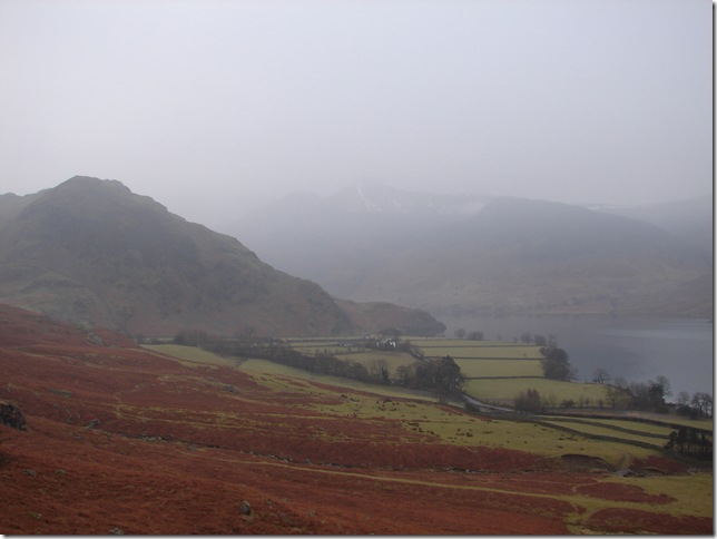
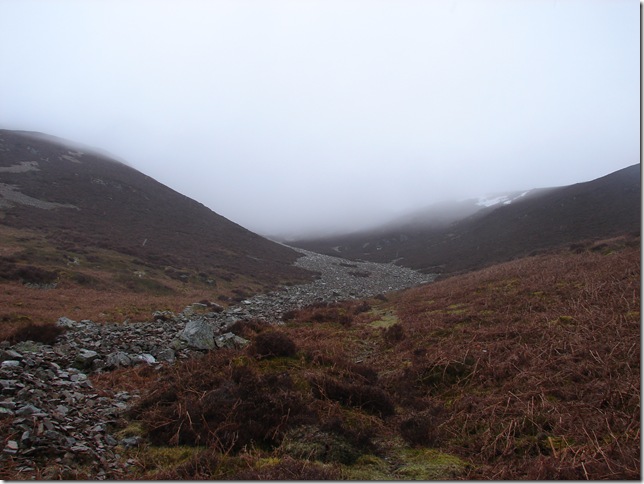
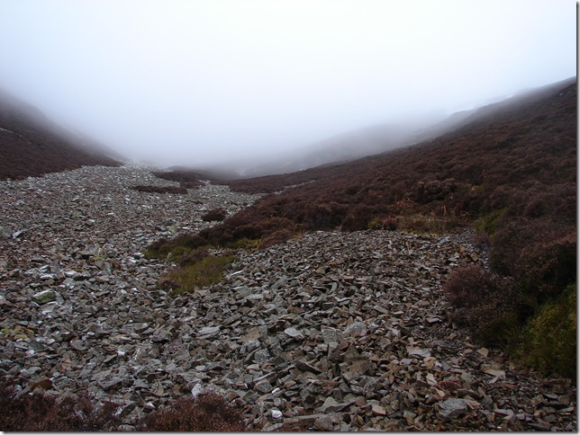
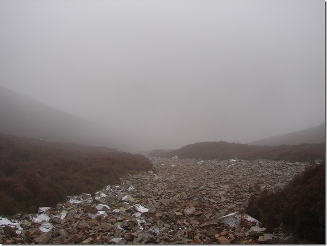
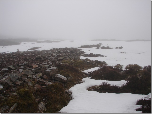
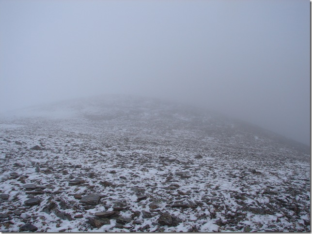
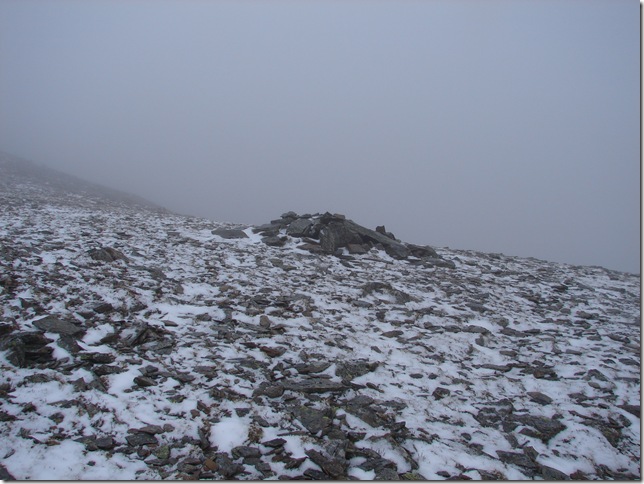
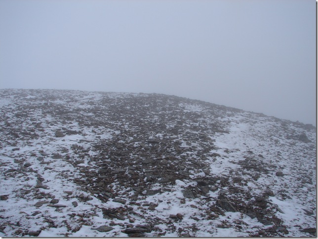
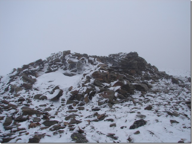
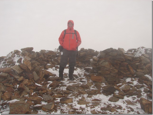
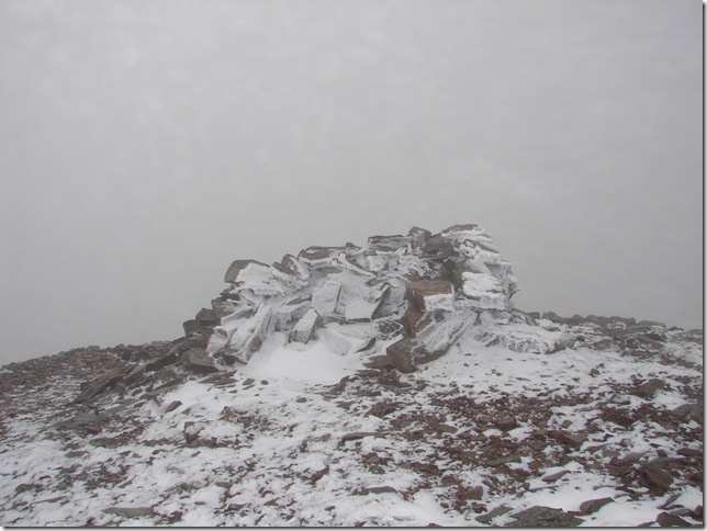
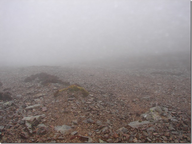
The day didn’t turn out all bad we did manage to summit Grasmoor in appalling conditions was just a pity if I’d of carried on in the near white out GPS In hand I might just of bagged 4/5 new Wainwrights today, whom I kidding we did the right thing in turning round on our tails …GPS or not


Wainwright Guidebook

The North Western Fells


Overview
Ascent: 2791 Ft  852 Mtrs
Wainwrights: Grasmoor
Weather: Predictions -2 a fine clear morning with cloud moving in from the west PM, what we actually got was light snow/hail/rain,15/20 Mtrs visibility above 300 Mtrs
Parking: Off Road Parking, Crummock Water
Area: North Western
Miles:  
Walking With: Tim Oxburgh
Ordnance Survey: OL4
Time Taken:  
Route:  
 

Map and Photo Gallery


I didn’t know lambs could read!


Early morning looking over to Rannerdale Knotts (Our would be decent route)


Crummock Water & a misty looking Loweswater with a glimpse of Mellbrake to the left.


The scree path taken from Lad Hows  & hitting that low cloud base .


Looking back towards Mellbrake reflecting into Crummock Water.


The path follows the scree for roughly 350/400 Mtrs to the right all be it a faint one, sometimes submerged under scree, to say this was a tricky section might be an understatement in fact in hindsight I called it a lot worse than that.


Looking down on the scree  I’ve climbed up/down on scree before but never anything as steep & as loose as this, It was a case of right foot forward left food slide!


Hitting the snow now & with nothing to melt it at this altitude it had frozen solid like concrete, it took real slow effort to resemble anything like a kick hole, not to mention the sometimes 45/50 degree angle some sections were at, at one point I swear I was crawling up on all fours.


More or less on the ridge that would take us to the summit & you can see its pretty murky up here.


The first cairn we’d seen all day & pretty glad we were to.


Grasmoor Summit & Shelter .


The smaller second summit shelter.


Looking towards what would of been our next summit about half a mile ahead but sadly not today, even I’m not that stupid GPS or no GPS ! Time to head back down.


To start the decent we decided not to stick to the path that ran along side the loose scree, Instead we gracefully slid for a whole 3/400 Mtrs on our arses all the way back down


Who needs Vancouver’s Olympic games !


That’s more like it ha!


Thankfully off the scree now, Its really taken it out on the knees & feet & thankfully my boots did the job in keeping me more or less upright, If id of been attempting that scree in any other boot other than my Raichile’s I wouldn’t of attempted it.


All of a sudden out of the mist the car park appears & now time for a pint at the Bridge Hotel in Buttermere, I wont  mind admitting we was disappointed with the incorrect weather but being a fell walker in the Lake District its something I’m going to keep having to get used too.


Back to top