|
Pike O'Stickle |
 |
 |
Overview |
 |
|
| Ascent: |
2,916 Ft 888.7 Mtrs |
| Wainwrights: |
4 Loft Crag, Pike O’Stickle, Thunacar Knott & Rossett Pike |
| Weather: |
Warm & Sunny Throughout The Day, No Wind, Hazy Lows of 6° Highs of °20 |
| Parking: |
Stickle Barn Great Langdale |
| Area: |
Central & Southern |
| Miles: |
9.25 |
| Walking With: |
On my own |
| Ordnance Survey: |
OL6 |
| Time Taken: |
|
| Route: |
|
|
| |
|
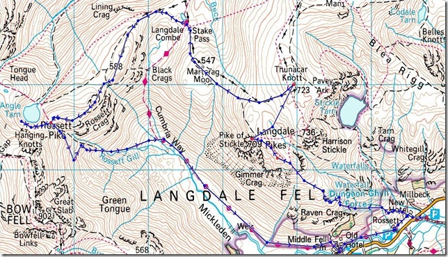
Map and Photo Gallery |
|
|
 |
| |
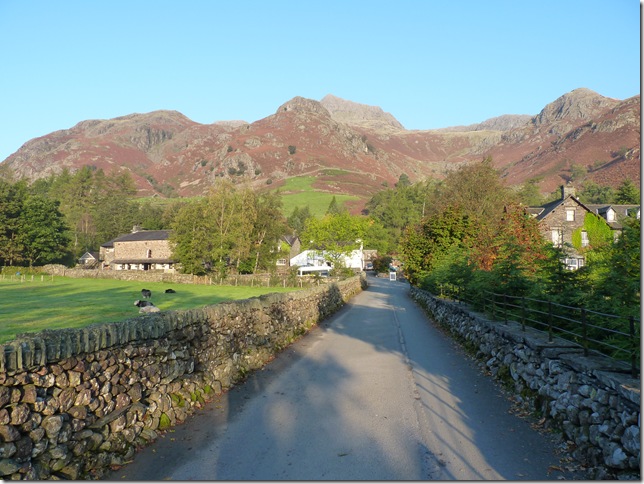
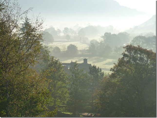
Harrison Stickle from Stickle barn, & although its nice & sunny its still early & there’s a definite nip in the air. |
 |
| |
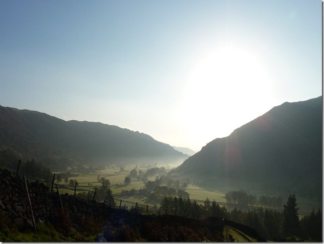
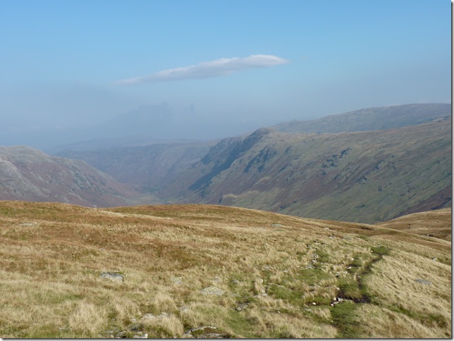
Low lying mist in Great Langdale. |
 |
| |
| And beautiful blue skies |
 |
| |
Crossing Dungeon Gill & I’m at it again with my happy medium so its off with the Jacket & out with the knees again! |
 |
| |
Looking back, It’s days like these & views like this that all the times I’ve questioned my integrity on why I Fell Walk & there is my answer. |
 |
| |
And onwards & upwards towards my first Fell of the day Loft Crag. |
 |
| |
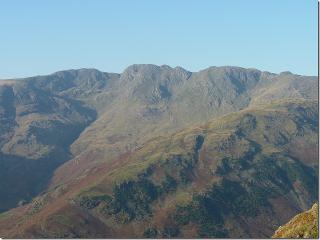
Possibly the first time I’ve ever seen Crinkle Crags as clear as this, the Fell running parallel is The Band. |
 |
| |
Esk Pike to the left & my first view of Loft Crag to the right of the grassy path. |
 |
| |
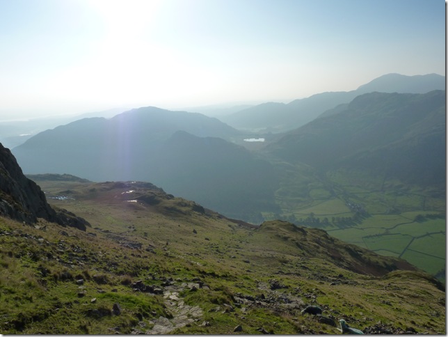
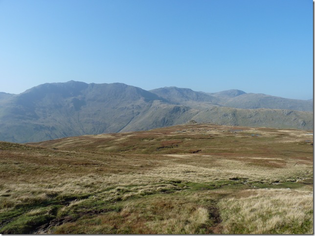
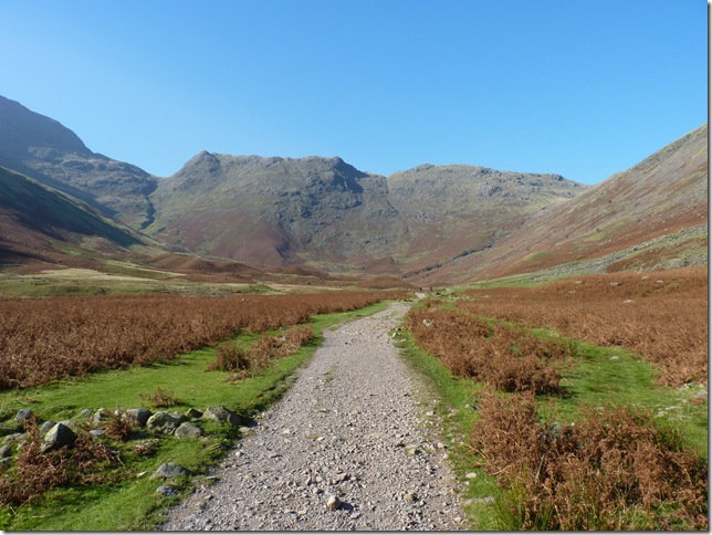
A hazy view onto the Southern Fells, the Tarn centre is Blea Tarn. |
 |
| |
Looking towards the Summit of Harrison Stickle. |
 |
| |
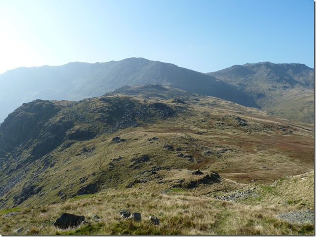
Loft Crag Summit with Harrison Stickle in the background. |
 |
| |
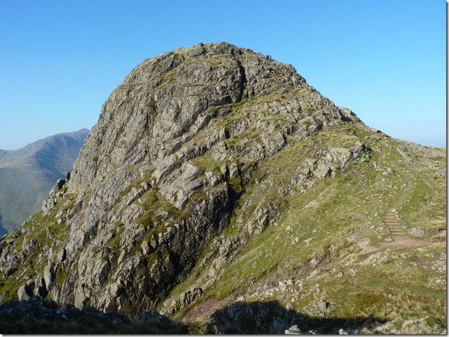
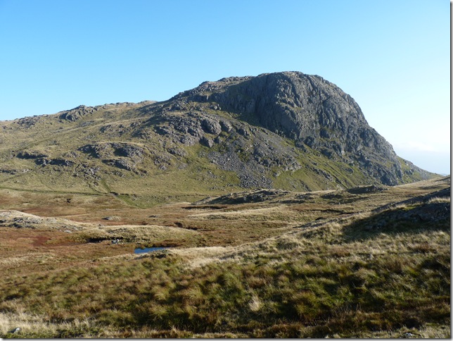
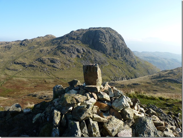
The hugely impressive Pike O’Stickle from Loft Crag Summit. |
 |
| |
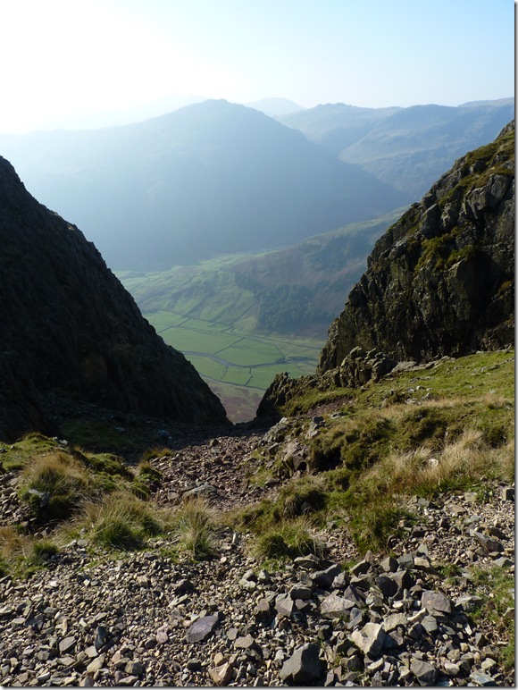
Looking down the steep gully found before I headed for the summit, this gully is actually Navigable all the way down to Mickledon but way too risky for my liking. |
 |
| |
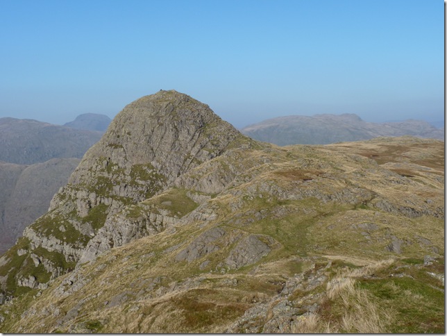
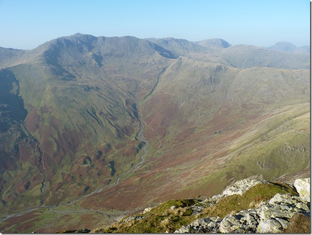
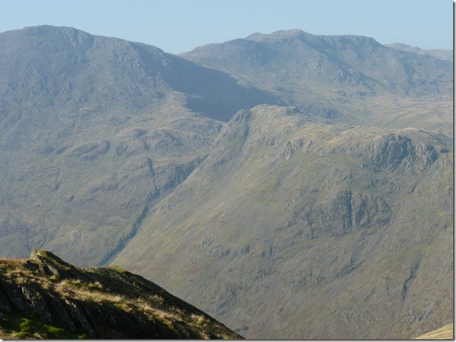
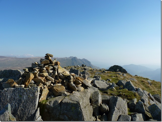
Pike O’Stickle Summit cairn with a host of Fells LtoR Bow Fell, Esk Pike, Rossett Pike (my final fell) Allen Crags & Great End. |
 |
| |
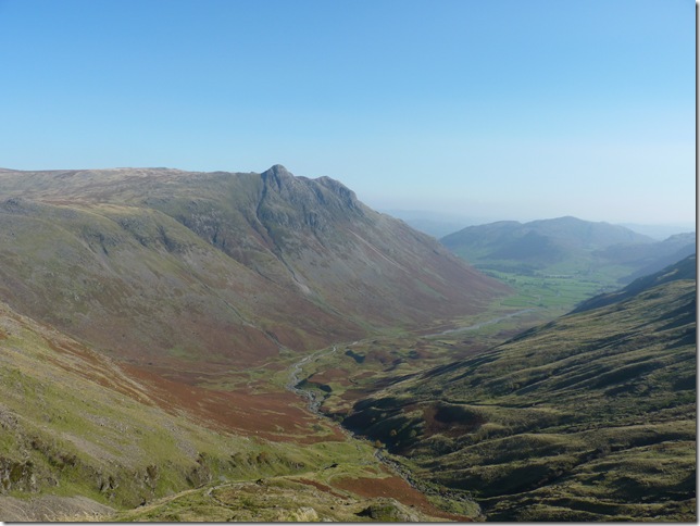
Bow Fell,Esk Pike & Rossett Pike domineering the skyline of Mickledon. |
 |
| |
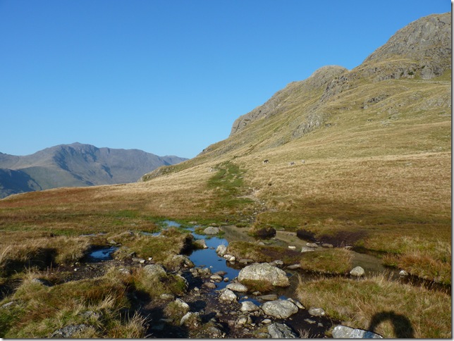
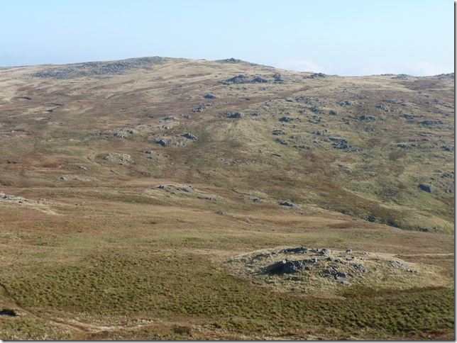
Thunacar Knott from Harrison Comb & my third Fell of the day, my path is the faint one to the left of the picture which leads you straight to the summit, I don’t think which path really matters there all angle deep wet bog! in all seriousness this route is something I’d only attempt in good visibility GPS or not I wouldn’t like to find myself in bad weather & low cloud on here! |
 |
| |
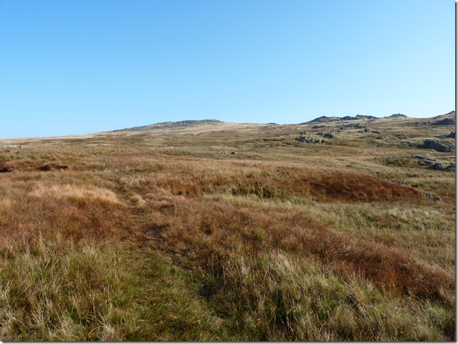
Trail Blazing my way towards Thunacar Knott. |
 |
| |
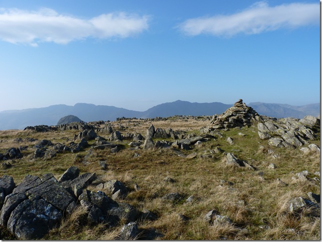
Thunacar Knott Summit. |
 |
| |
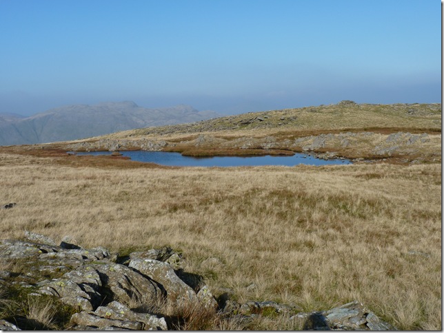
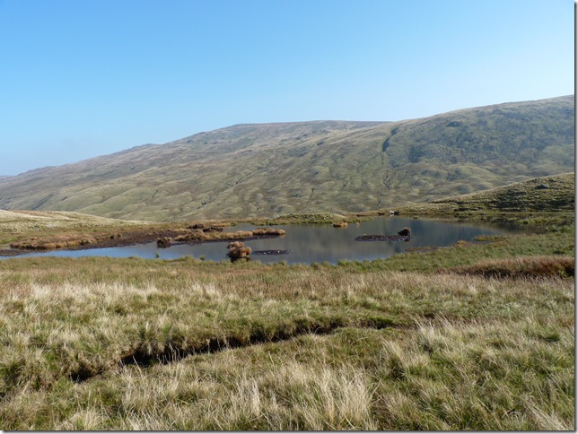
And the small un-named tarn found near the Summit. |
 |
| |
My first choice was to re join the main path towards Martcrag Moor and to leave the path & make my own way, but being as wet as it was I decided to stick to the faint path seen here & head back towards Pike O’Stickle & over the crags seen centre. |
 |
| |
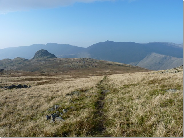
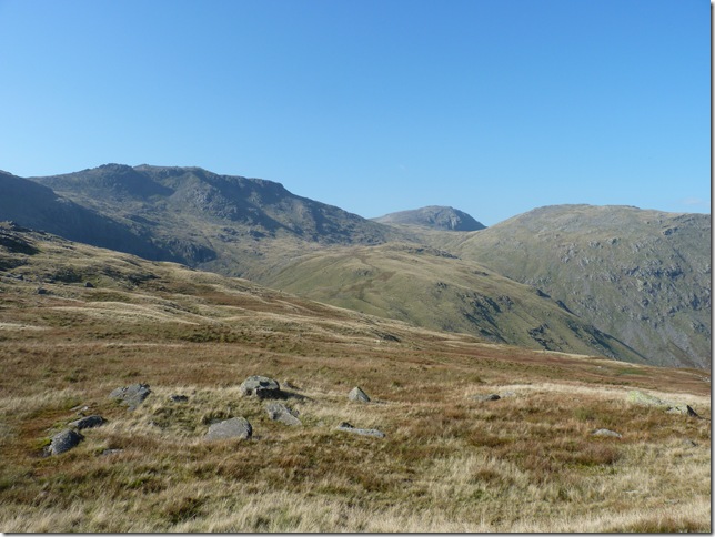
The vast openness of Martcrag Moor, again with Bow Fell & Esk Pike still domineering the skyline. |
 |
| |
A close up of Rossett Pike (centre) my final Fell of the day, but I’m a long way off yet. |
 |
| |
The un-named tarn found as I leave Martcrag Moor & cross over Stake Pass. |
 |
| |
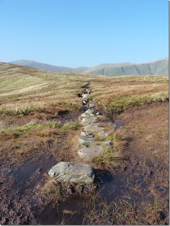
The M6 of stepping stones, now here’s the perfect chance to try out your balancing skills Paul. |
 |
| |
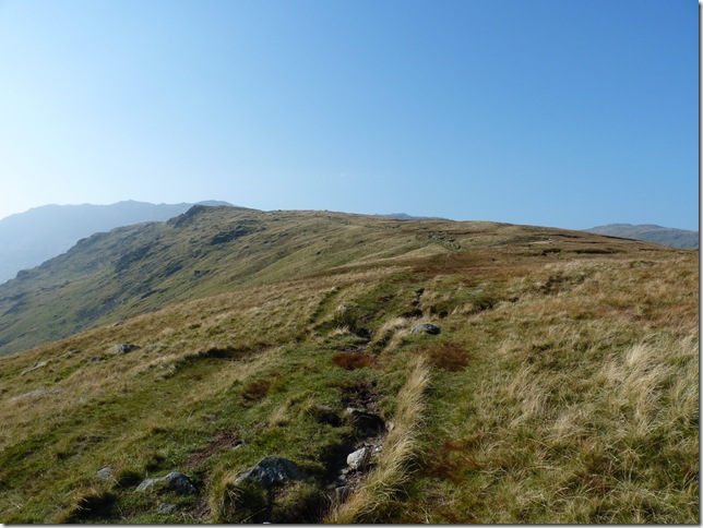
| Now that’s what I call a ridge walk |
 |
| |
Looking over the Drumlins towards Pike O’Stickle & Mansey Pike from Langdale Comb. |
 |
| |
Looking back with Green Up Edge to the right leading towards Sergeants Crag & Eagle Crag. |
 |
| |
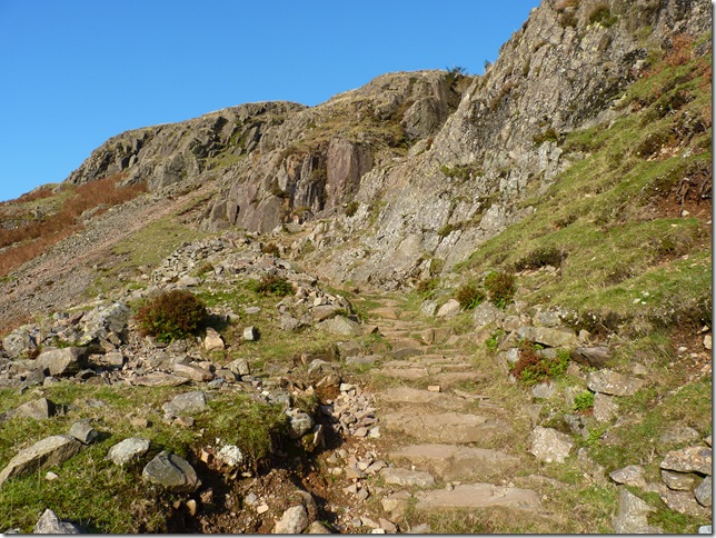
Rossett Pike bound & a little descent is needed first. |
 |
| |
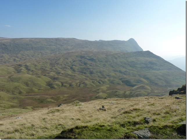
Great End taking centre with Esk Pike to the left & Allen Crags to the right. |
 |
| |
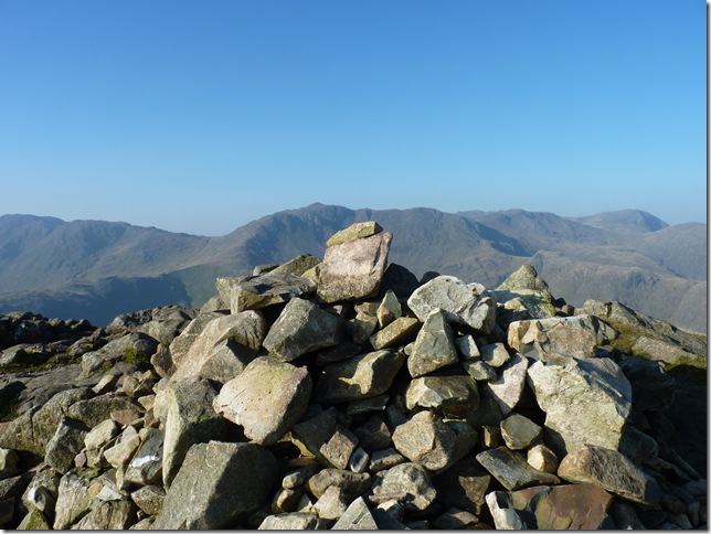
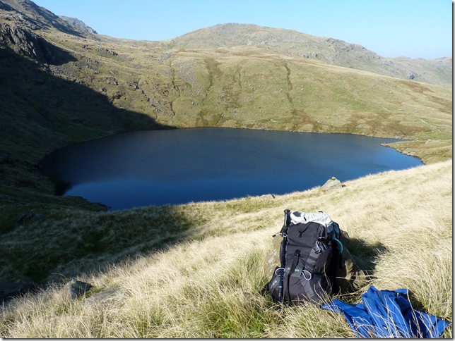
Rossett Pike Summit with Pike O’Stickle in the background, have I really come that far! Its time for lunch & a much long awaited view of Angle Tarn. |
 |
| |
Angle Tarn, off the beaten trail a little & away from the crowds its time to get the beef barm cakes out & see if the shop assistant was right in telling me ‘these are the nicest barm cakes you’ll ever taste’ he was right.. |
 |
| |
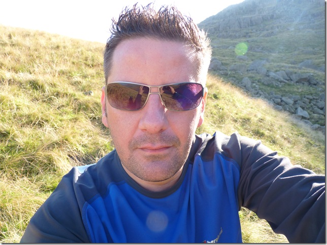
That’s the look of tasting the nicest barm cakes Ill ever taste ha |
 |
| |
Lunch over & time to head down, over a mile in descent & two back to Stickle Barn but I’m not complaining, its just beautiful. |
 |
| |
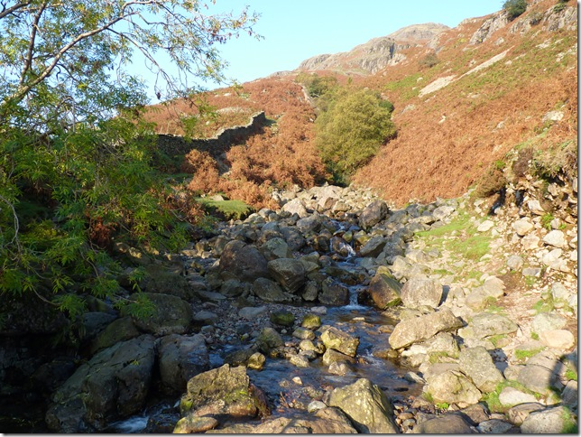
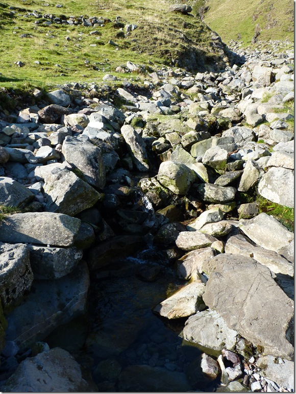
I think my H2o pack had a kink in it because for the last hour or so I’m sucking like a mad man & getting only a trickle through, so as I crossed Rossett Gill I cupped my hand & took a couple of handfuls & not to mention a splash over the face & hair. |
 |
| |
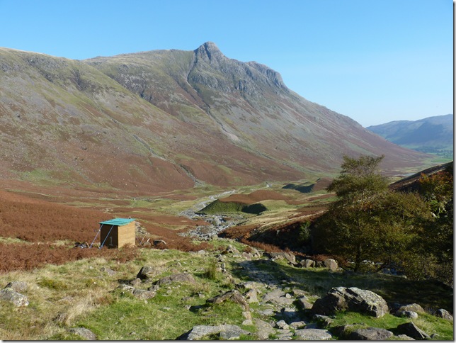
Passing the path makers hut as I enter the valley floor. |
 |
| |
Looking back towards Rossett Pike from Mickledon. |
 |
| |
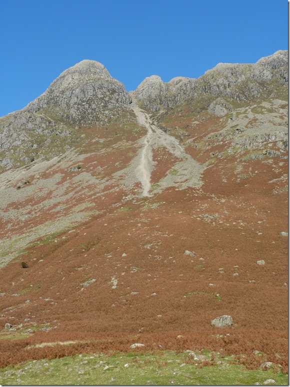
This is the gully seen at the side of Stickle Breast earlier in the walk, I can pick up a faint path faintly through the bracken & onto the prominent path you can see, I don’t think I could ever eat enough weetabix to get me up there! |
 |
| |
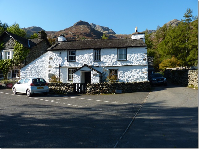
Stickle Cottage, & almost back where I started, I was going to treat myself to a pint of cold still orange at the Hotel but after not so much careful consideration to other customers I thought it best not to, Paul needs a good bath! |
|
| |
| Back to top |
 |
|