|
The Remote Far Eastern Fells |
 |
 |
29th April 2011 |
 |
|
I took advantage of the extra Bank Holiday & not to mention the warm weather & headed for a more remote part of Lakeland that being the beautiful valley of Longsleddale a valley I have never visited before. This walk had been planned for about two months, it was just finding that window to slot it in, the original walk had been planned from Swindale & to take in the two summits of Selside Pike & Branstree. This new boxed clever route however a little longer in length enabled me to take in as many as four Wainwrights & three Birketts.
One other reason why I had planned this route differently was I wanted to pay a visit to the survey pillars erected during the construction of the Haweswater aqueduct during the 1930’s. Construction of the Haweswater Dam & Aqueduct intrigues me much like any other history in Lakeland, I’m not too sure about how the locals felt about the construction project as the population of Greendale Head lost there livelihood & homes when the Haweswater Reservoir was flooded & were made to re locate a few miles away in Shap.
As if living in post war rural Lakeland wasn’t hard enough. |
|
Wainwright Guidebook |
 |
| The Far Eastern Fells |
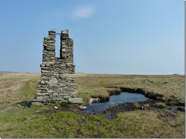
Not Until Manchester Corporation’s engineers climbed Tarn Crag, In the course of there duty, and departed from it for the last time , did its summit acquire distinction: the wide dreary top then found itself left with a curious structure – a high wooden platform with a core of stone and concrete, which served for a time as a survey post during the construction of the Longsleddale tunnel conveying the Haweswater Aqueduct south. Now thirty years later (first written in 1957) the aqueduct is in a place and the scars are gone from the valley – but the hoary survey post still stands , defying the weather and puzzling the few travellers who come this way and find no view as to its purpose. |
 |
|
| |
|
Overview |
|
|
| Ascent: |
1,971 Feet, 601 Meters |
| Wainwrights: |
4, Grey Crag (Longsleddale), Tarn Crag (Longsleddale), Branstree & Selside Pike |
| Weather: |
Bright & Sunny With Some Out Brake Of Cloud, Very Gusty On Tops, Slight Drizzle, Highs Of °20, Lows Of °11 |
| Parking: |
Sadgill Bridge, Longsleddale |
| Area: |
Far Eastern |
| Miles: |
9.7 |
| Walking With: |
On my own |
| Ordnance Survey: |
OL7 |
| Time Taken: |
|
| Route: |
|
|
| |
|
Map and Photo Gallery |
|
|
 |
| |
The Manchester Corporation Act 1919 authorised the Haweswater scheme, but work did not begin until the late 1920s. The scheme caused controversy because of its impact on the landscape, and because it required the flooding of two villages. Construction of the dam started in 1929, but was suspended during the Great Depression. Work restarted in 1935, and was completed in 1940.
A village, Burnbanks, was built below the dam to house the workers. |
 |
| |
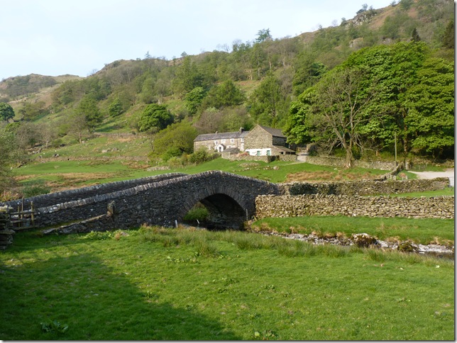
Sadgill Bridge & from the start of the walk, I arrived here early (8:10am) and the first thing I noticed was just how windy it was, the wind roared down the valley so here with me just having the Crag Hopper shorts on also but my jacket on, I wasn’t to take it off for a few more hours until the heat of the midday day warmed my bones a little. |
 |
| |
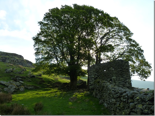
Sunburst through the trees & this old ruined building. |
 |
| |
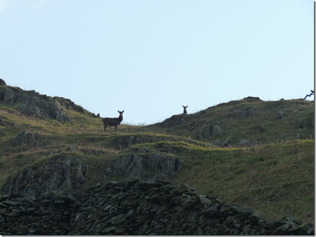
The wild Fawns heard me coming well before I saw them, one extremely quick photo later & they were gone. |
 |
| |
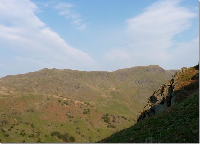
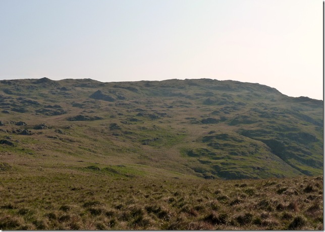
Shipman Knotts & Goat Scar from the steep ascent. |
 |
| |
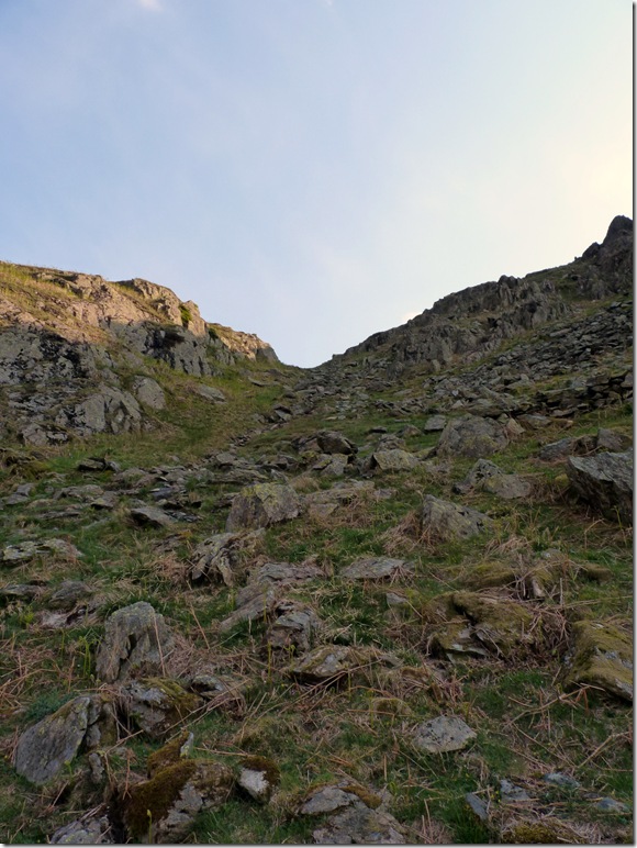
Pardon the pun, but the easiest way on to Great How & Grey Crag is via Easy Gully, its not as steep as it looks in the picture. |
 |
| |
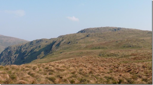
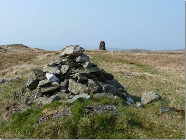
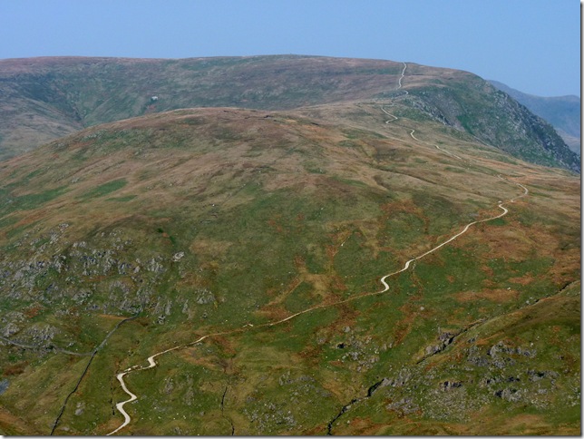
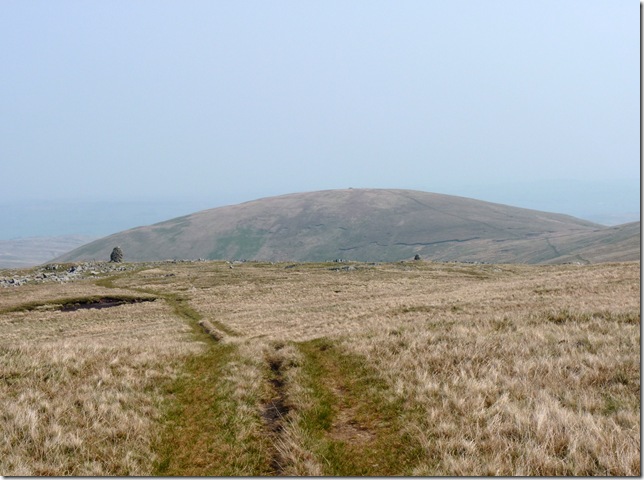
Great How, with views towards Buckbarrow Crags (L) & ahead Tarn Crags (R) with a glimpse of its Survey Pillar, but first.. |
 |
| |
Grey Crags, In between Great How & Grey Crags I was on the outlook for one of the Survey Pillars listed on the OS map as on Great How, how the hell could I miss this Hugh concrete pillar sticking out the ground? |
 |
| |
Do’h!
From my ascent of Grey Crags I spot the Survey Pillar on the southern flanks of Great How, now much too far away to retrace my steps. |
 |
| |
Grey Crag (Longsleddale) summit cairn with the Shap Fells in the background.
On leaving Grey Crag I head for Harrop Pike just under a mile away, Harrop Pike is indeed a Birkett but it would have been rude of me not to pay its summit a visit, this short grassy wind swept walk to the summit was just one of my favourite parts of the walk today. |
 |
| |
On leaving Grey Crag I head for Harrop Pike just under a mile away, Harrop Pike is indeed a Birkett but it would have been rude of me not to pay its summit a visit, this short grassy wind swept walk to the summit was just one of my favourite parts of the walk today. |
 |
| |
Harrop Pike summit cairn, its windy, very windy & my Rab Latock jacket I put on at the start of the walk has stayed on just to null the wind cutting through my body, over the howling gales I can here the birds singing & chirping away (no doubt complaining about how windy it is)..its a good day to be out on the fells. |
 |
| |
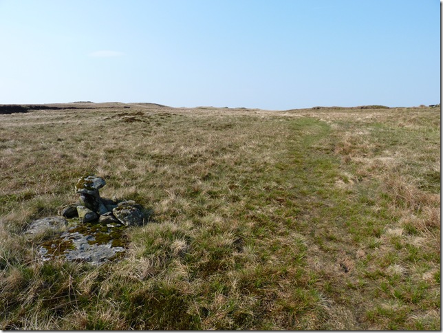
This small cairn indicating that the path splits in two just ahead, I make a right & follow the fence & Tarn Crag bound. |
 |
| |
Looking over a dried out Grey Crag Tarn towards Tarn Crag. I tried to be clever here & make for a crows eyes ascent but was beaten by the bog underfoot, so I headed right again & pick the fence line back up. |
 |
| |
| Its so much easier not to listen to ones self at times |
 |
| |
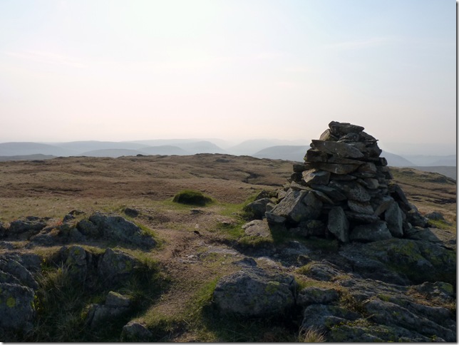
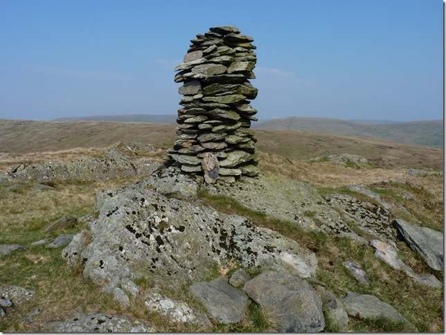
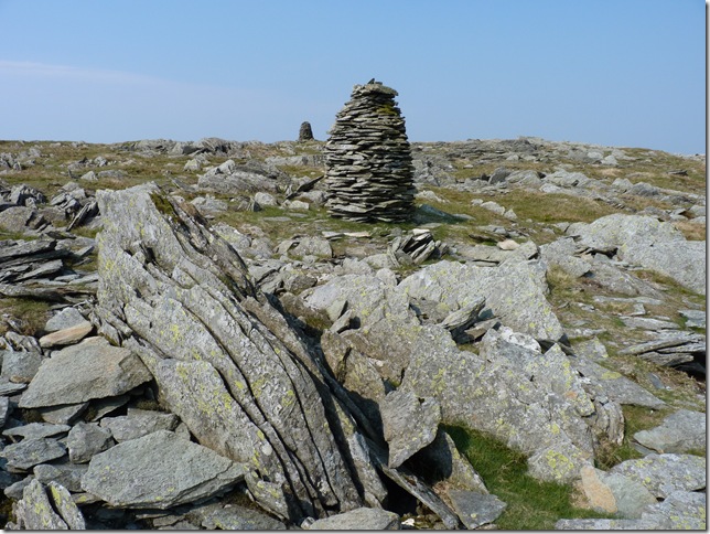
Tarn Crag summit cairn. |
 |
| |
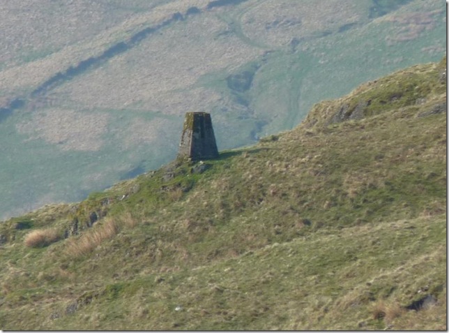
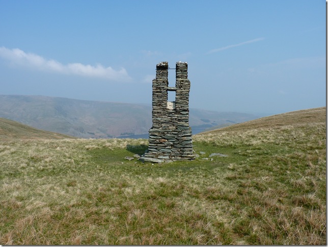
And close by the Survey Pillar. |
 |
| |
Now using the cameras zoom to look south & back on Great How, the two pillars (four altogether) mark the whereabouts of the water pipeline 1,300 feet below Tarn Crags & Grey Crag.
The 72-mile aqueduct from Haweswater to Heaton Park reservoir in Manchester was constructed between 1935 & 1955. The first 9-mile section, through a tunnel and then down Longsleddale to Watchgate treatment works, north of Kendal, was built concurrently with the dam, and completed in 1941. This allowed water to be drawn from the new reservoir and sent from Watchgate through a 1½-mile linking pipeline into the existing Thirlmere aqueduct, and thus to Manchester. |
 |
| |
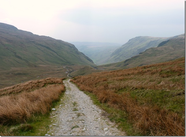
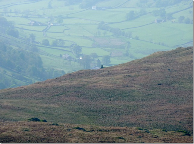
The Gatescarth Pass winding its way through the valley head of Longsleddale, To the left is the southern flanks of Harter Fell (Mardale) & to the right my next destination Branstree, but before I head for its slopes there’s quite a bit of descent & ascent. |
 |
| |
A much closer view of Gatescarth Pass & Harter Fell (Mardale) |
 |
| |
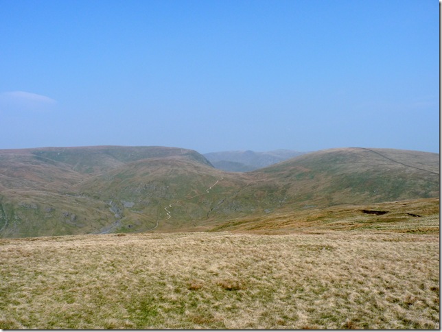
With the descent of Tarn Crags out of the way it was time to cross Brownhowe Bottom, this section again I would imagine being very boggy underfoot but with the recent lack of rainfall I crossed this section without getting my boots wet. |
 |
| |
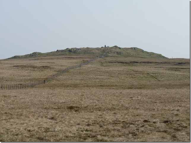
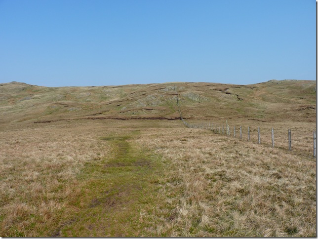
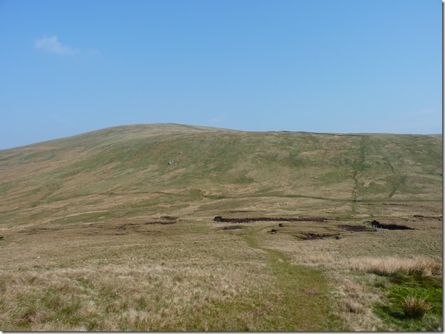
Selside Brow, this photo again does not do the ascent any justice, it was a mild affair at best being the first part of the climb from Brownhowe Bottom the steepest part, once the wall is reached its really is a pleasant walk to Branstree’s summit. |
 |
| |
Branstree Summit with Harter Fell in the distance, With the wind still howling & the summit blast nipping at me the only thing to do was remove the Jacket once & for all, I just couldn’t carry on looking like Captain Scott of the arctic in bloody spring time, you really are a softy sometimes Sharkey. |
 |
| |
Leaving Branstree I now head for the two Cairns on Artle Crag, ahead is Selside Pike, It was here I noticed my watch & thought ‘well there wed now’ I had put the Royal Wedding down due to the fact that I hadn’t seen a single soul all morning, I’m not an anti-royalist at all & I thank them for the extra Bank Holiday & the time I now have on the fells doing what I love most. |
 |
| |
Looking west from Artle Crag Pike at the two large cairns. |
 |
| |
Found a little of the path & closer to Haweswater is the next Survey Pillar. |
 |
| |
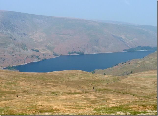
Haweswater with the depression of Whelter Bottom on its flanks. |
 |
| |
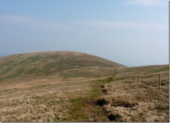
Selside Pike just ahead. |
 |
| |
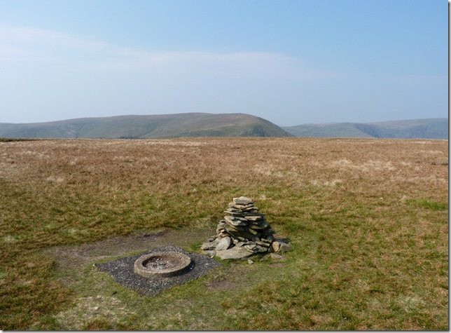
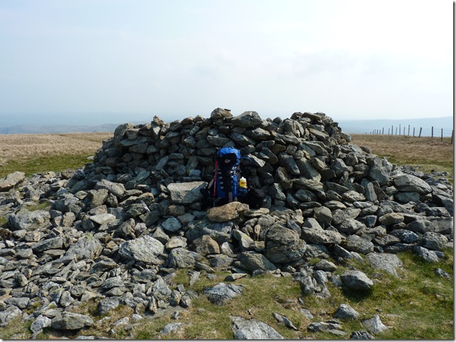
Selside Pike summit shelter.
With the wind blowing in from the east I take a rest at the rear of the shelter. |
 |
| |
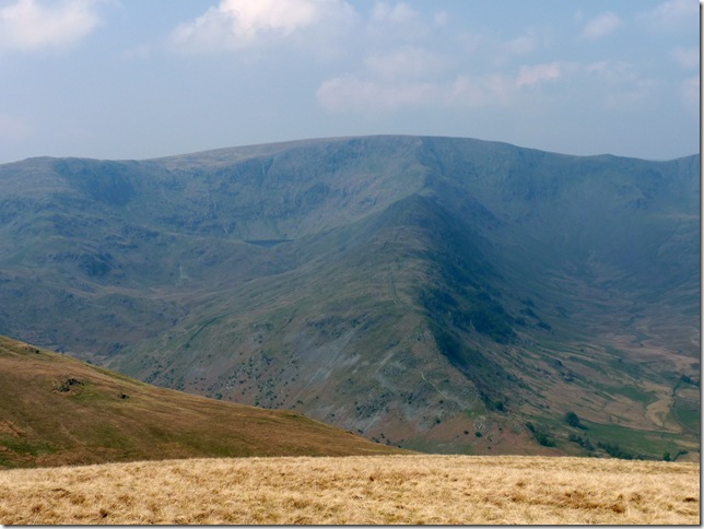
My favourite Mountain in the district ‘High Street’ with Mardale III Bell on the far left & a small glimpse of Blea Water. |
 |
| |
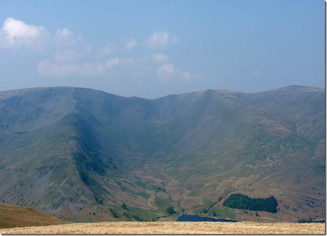
| Together with Riggindale & Kidsty Pike. |
 |
| |
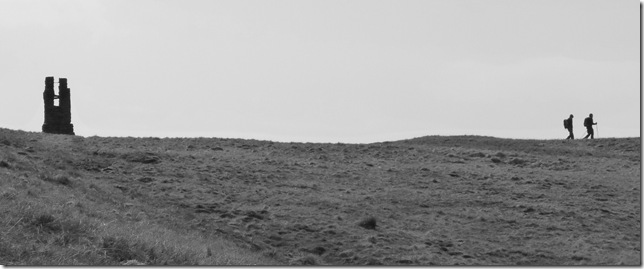
As I make my way back along the path back towards Branstree I spot the only two walkers I was to see all day. |
 |
| |
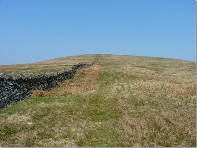
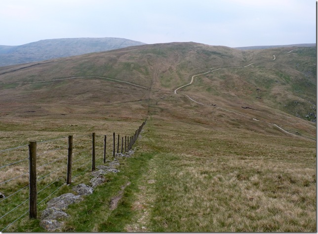
Following the fence line all the way down to Gatescarth Pass, ahead here would take you on to the summit path of Harter Fell (Mardale) Right is the short walk back to Mardale Head, left along the pass it was for me & a 1.8 mile walk back to Longsleddale. |
 |
| |
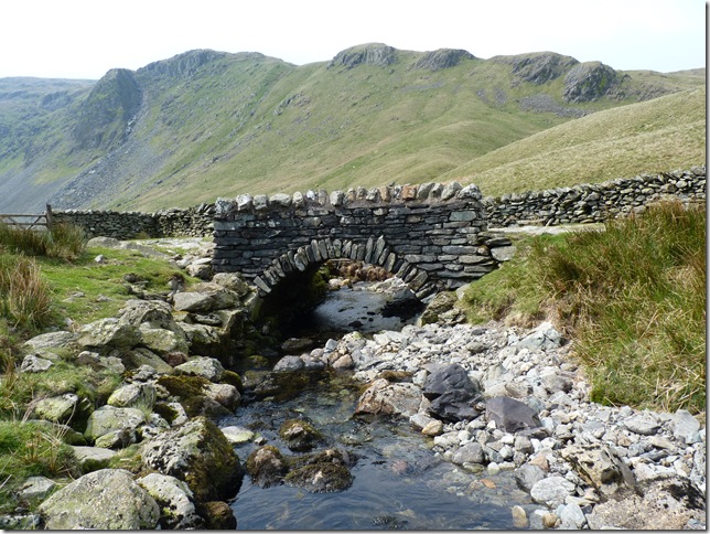
Crossing Gatescarth Beck over this tiny pack horse bridge, with Raven Crag in the background. |
 |
| |
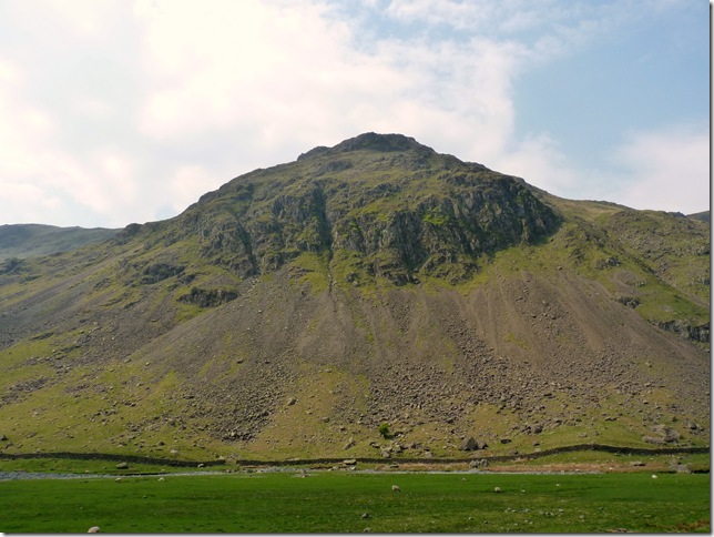
Goat Scar from the path, with the wind still blowing a hooley I had to protect my eyes from the dust being blown up from the path, I glanced at the sheep in the fields wondering how they manage to stay upright when such a gale is bearing down on them.. |
 |
| |
I guess Its just me then..
A wonderful time had in Lakeland, I finished off my sandwiches perched on the wall next to where my car was parked & headed off back through the lovely town of Kendal & once home of the great man himself Alfred Wainwright. |
|
| |
| Back to top |
 |
|