|
A day of two half’s on the Uldale Fells |
 |
 |
14th August 2011 |
 |
|
I had so many reasons not to be on the fells today, I needed a clear head as My Mother right now is lying in a bed in Hope Hospital Manchester very poorly, Having spent the last 24 hours at her bed side with my father & brothers I find myself needing to just get away for a few hours…
Sometimes this works & sometimes it doesn’t.
Lakeland is for me is an extension to my family but this time I did not need it nor it need me, you can have a skrike on your own Paul, you can ponder ones thoughts deep in some bog up to your shins in water, being pelted at from every angle sure cleanses my troubles, if only for a short while.
‘Binsey & Longlands Fell Should Only Ever Be Done Together’ Proverb From Old Gent On The Ridge In Between Great Sca Fell & Brae Fell, 26.03.2011 |
|
Wainwright Guidebook |
 |
| The Northern Fells |
Binsey is the odd man out. This gentle hill rises beyond the circular perimeter of the Northern Fells, detached and solitary, like a dunce set apart from the class. It is of no great height, is well within the category of Sunday afternoon strolls, has an easy slope just right for exercising the dog or the children, is without precipices and pitfalls, never killed or injured anybody, breeds hares instead of foxes, and is generally of benign appearance. Yet it is too good to be omitted from these pages.
For one thing it is a most excellent station for apprising the Northern Fells as a preliminary to their exploration. For another, it is a viewpoint of outstanding merit. For another, it possesses a grand little summit with a once-important now forgotten history. For another, its rocks are volcanic, not slate as those of neighbouring fells.
Binsey occupies the extreme north-west corner of the Lake District. Beyond is the coastal plain, then the sea, then Scotland. |
 |
|
| |
|
Overview |
|
|
| Ascent: |
1,027 Meters, 3,369 Feet |
| Wainwrights: |
2, Longlands Fell & Binsey |
| Weather: |
Widespread Heavy Rain & Low Cloud (350 Mtrs) am. Later Breaking Towards The latter Of The Afternoon Bringing Sunshine & Good Visibility. Highs Of 20° Lows Of 14° |
| Parking: |
Roadside Parking, Longlands |
| Area: |
Northern |
| Miles: |
11.8 |
| Walking With: |
On my own |
| Ordnance Survey: |
OL4 |
| Time Taken: |
|
| Route: |
|
|
| |
|
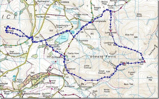
Map and Photo Gallery |
|
|
 |
| |
Picking up the Cumbrian Way right next to the parking spaces in the tiny Hamlet of Longlands. The drive in was un-eventful that was until reaching Keswick along the A66 when the heavens opened, the cloud above was really sporadic, dark & menacing which kind of gave me the feeling it wouldn’t last… how I was wrong. |
 |
| |
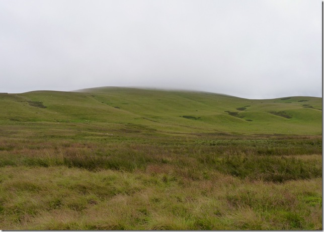
From the Cumbrian Way I could see to my right the grassy slopes of Longlands Fell to my right, it was a little worrying however that I couldn’t see anything above the cloud line which was lying really low (at this point around about 330 Metres) with not much wind about I could see this low cloud was going no-where fast. |
 |
| |
Looking back along a small part of the Cumbrian Way & Overwater, the walker you see on the path with his dog I had just passed not ten minutes earlier, his back gate to his Cottage fell onto the Cumbrian Way & I was pretty envious of that, we swapped comments & I was soon on my way. |
 |
| |
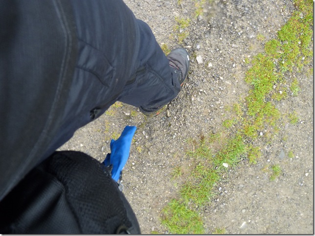
| It was bound to happen sooner or later & for me it was sooner, this wasn’t the kind of rain you negotiate to yourself ‘do I put the jacket on’ this was Lakeland rain & it didn’t stop for the next two hours |
 |
| |
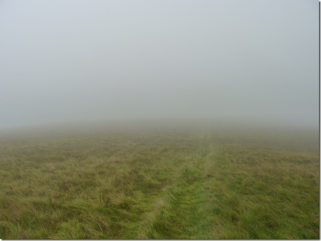
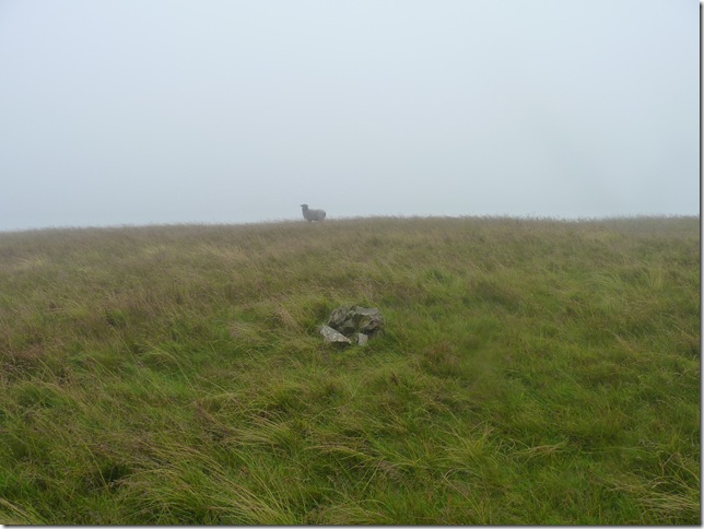
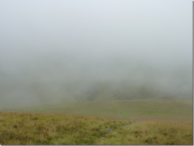
And sadly for you & me this was my visibility for the next few hours, with hardly any pause gap at all from the downpour that was thrust upon me I carried on with my head down briefly lifting every 15/20 steps to try & find a fix on anything but all I found was the sight of drenched sheep looking at me thinking what & why are you here? |
 |
| |
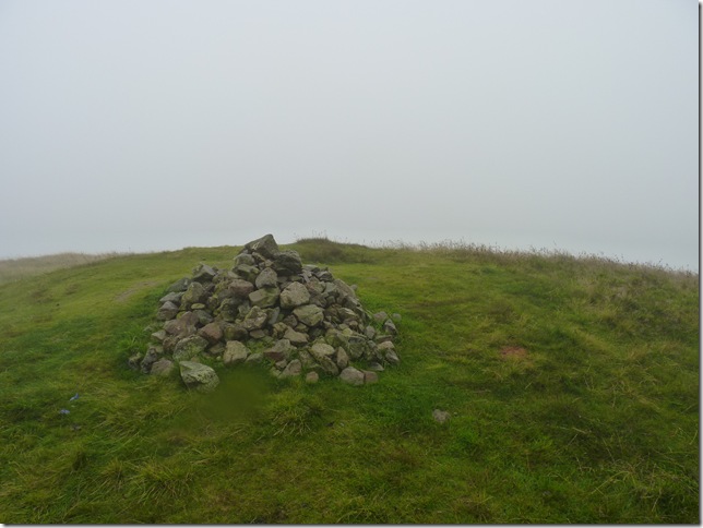
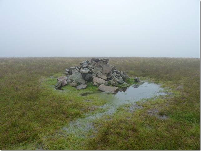
The summit of Longlands Fell was soon reached which brought a slight smile to my face & with no hard work done at all I pause with my back to the rain & take this shot of Longlands Fells summit cairn. |
 |
| |
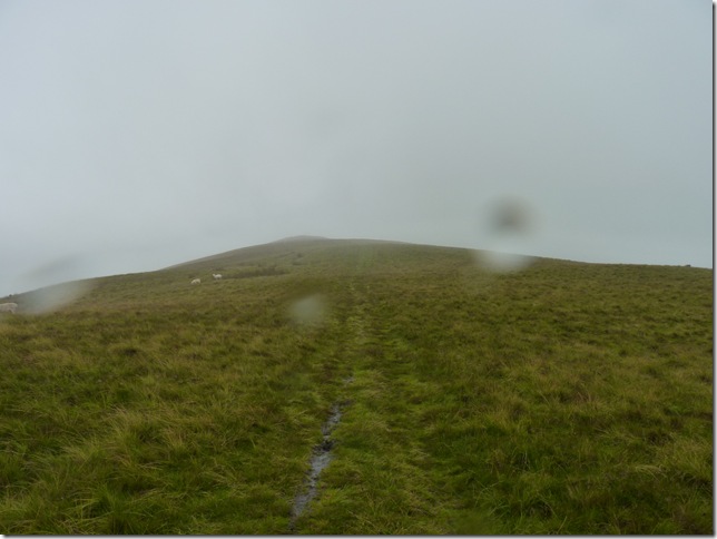
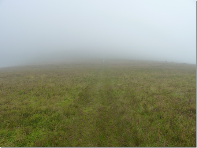
And within minutes I was soon on my way into the mist & heading for Lowthwaite Fell. Unless you are familiar with these fells in conditions as I had today I wouldn’t attempt to carry on with this walk without the help of my GPS. I knew I had to my right Great Cock Up & to my left Brae Fell, small comfort though when you cant see them. |
 |
| |
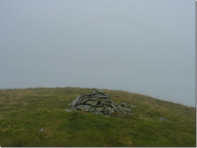
A solitary Lowthwaite Fell summit cairn (Birkett) |
 |
| |
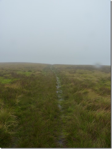
After leaving the summit of Lowthwaite Fell the grassy path bends in a Westerly direction & onto the lower slopes of Great Sca Fell. |
 |
| |
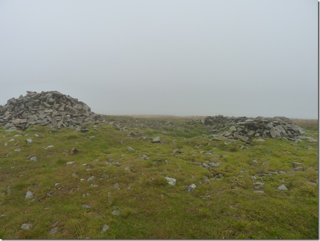
Still in the thick of it as I reach one of two summit cairns found on Great Sca Fell, the true summit & cairn is gained by climbing a grassy path around 60 metres away. |
 |
| |
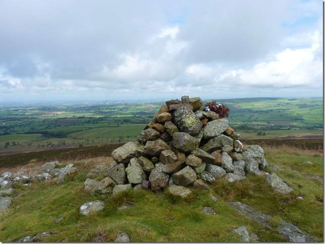
With a little respite from the rain I take time to wipe the camera lens with a wet lens cloth & take this shot of the main summit cairn on Great Sca Fell. |
 |
| |
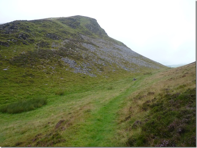
This is a great little path directly in front of the main summit cairn from Great Sca Fell leading you down to Meal Fell, it obviously gets steeper as the descent goes on but its clearly marked out even in the conditions as I had today. |
 |
| |
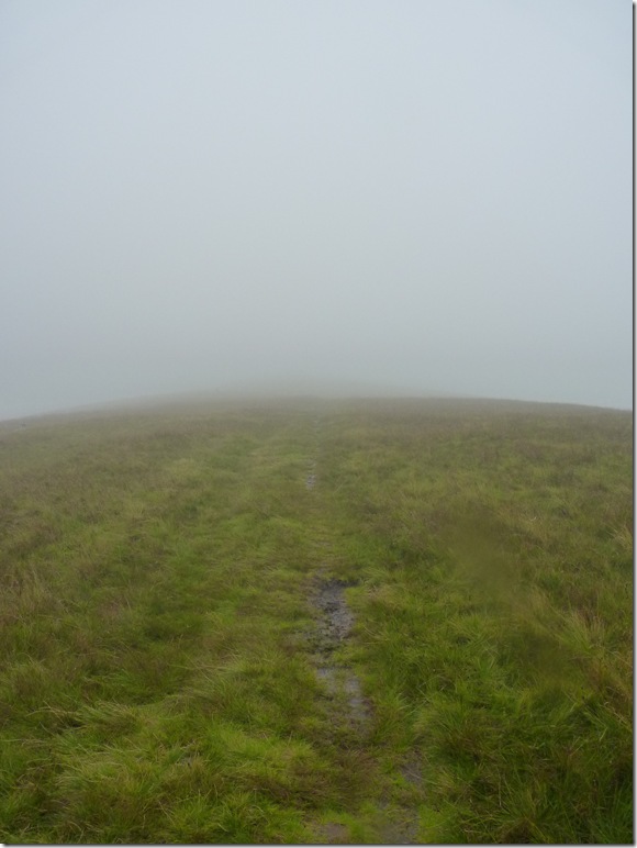
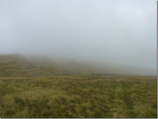
The Col separating Great Sca Fell with Meal Fell…sadly, I know you cant see it (eyes rolling) |
 |
| |
Meal Fell summit cairn. |
 |
| |
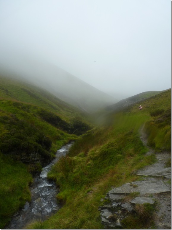
Elation, as I get my first fix on an object as I head down into Trusmador. |
 |
| |
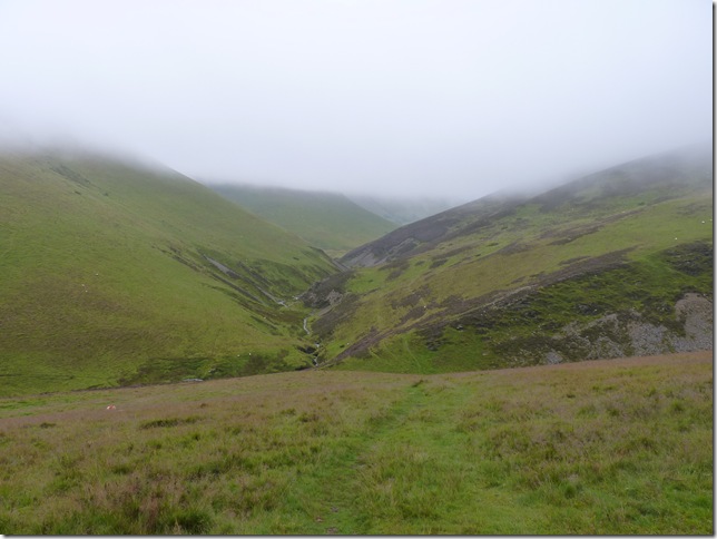
For now it has stopped raining, but it is only teasing me…
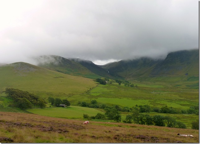
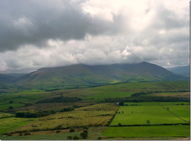
Ahead we have the Valley of Trusmador with Burntod Gill running centre, to the left is Burntod & to the right is the fringes of Great Cock Up.
I think right about here I was in what the Americans would call ‘The eye of the storm’. |
 |
| |
Trusmador & Great Cock Up. |
 |
| |
Well, this is well & truly the wettest situation I have ever found myself in, you can actually see ahead the next band of rain heading right for me. There was no shelter & even the sheep were running for cover, I just had to walk this one out. |
 |
| |
Can I see the sun trying to come out? extraordinary visions as I shake my head, mumble something or another & maybe just maybe a tweak or maybe it was just wind…no I think that was a smile.
Seen here as I flank the lower slopes of Great Cock Up, my path takes me past Brockle Crag seen in the centre foreground of the picture. |
 |
| |
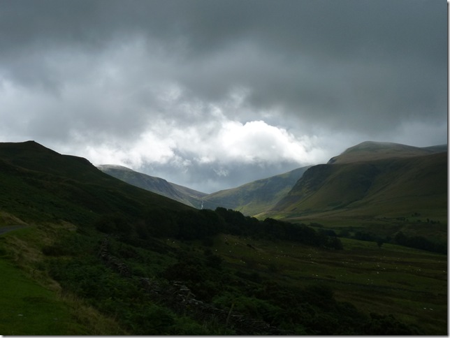
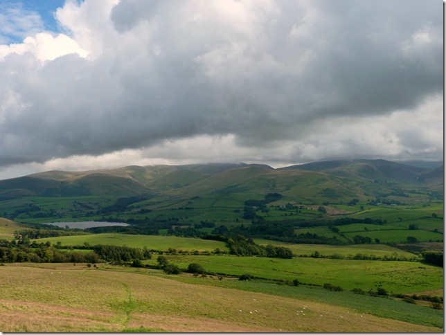
I can see & feel a change in the weather, here as I look back on Whitewater Falls (Dash Falls) under the cloud to the right is Bakestall and to the left we have White Hause & Little Calva. |
 |
| |
Ahead; a cloud topped Binsey.
I’m ever so slightly starting to dry out and start to contemplate an ascent on Binsey but that involves a two & half mile trek across farmland & for now I need a time check. |
 |
| |
Burst of light over Dash Falls. |
 |
| |
An odd shot I know.
Here I strip off the soaked jacket & lift the lid on my pack & strap it down, my mid-layer & trousers are soaked through yet fast drying so lets see if Montane & Mountain Hardwear can live up to there reputations…they do & within half an hour I am a comfortably dry(ish) again. I try to dry out my camera lens cloth by trapping it in the zip of the camera bag pocket & let some wind & air get to it, this doesn’t work as I later found out when I realised the cloth had some how worked loose, only a cloth I know but that cloth had been with me man & boy & I’m bloody angry at myself that I thought my little plan would work. |
 |
| |
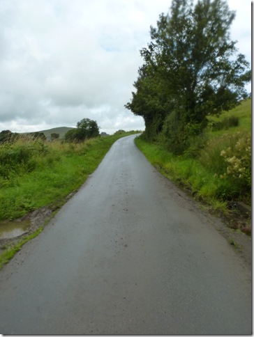
The narrow lanes of Orthwaite. |
 |
| |
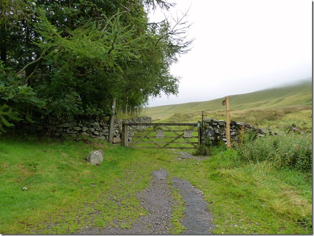
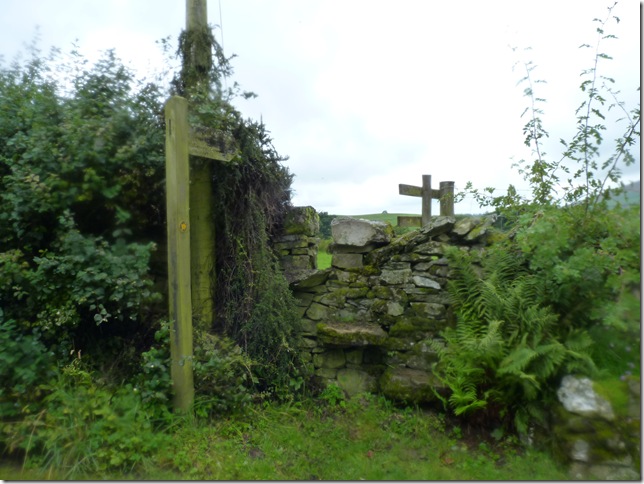
I could see on the map a Public Footpath that cuts through a Famers field, I knew I was almost upon it & nearly walked straight past this little cut in the wall. |
 |
| |
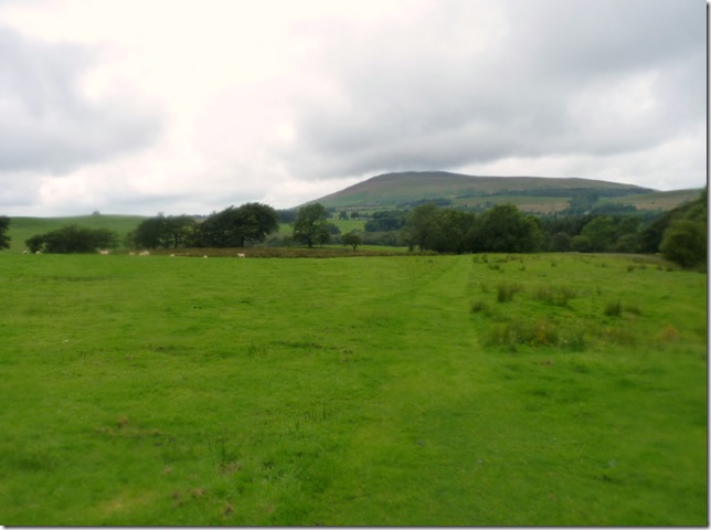
With Binsey insight I now head through the plush green fields & Over Water Hall bound. |
 |
| |
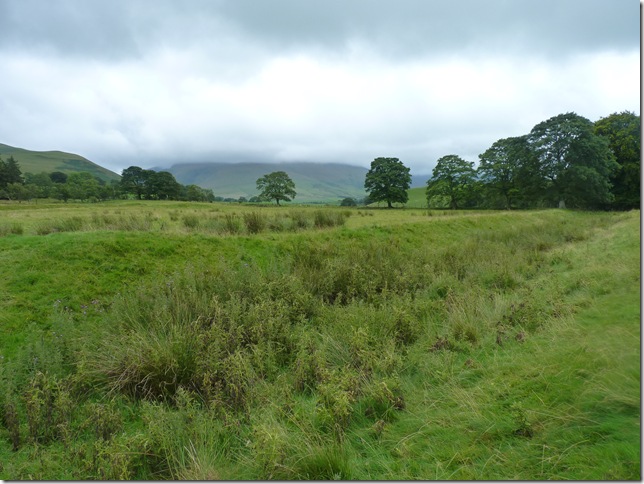
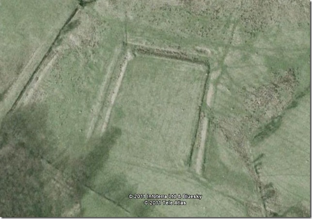
What you are looking at is a medieval moat marked on the map as Uldale Common, the moat you see here according to English Heritage was the site of a much older Over Water Hall surrounded by what is now a dry Moat, it is very difficult to see so here is a picture I copied from Google Earth. |
 |
| |
I do get a certain buzz when I’m looking at ancient remains whether it be Stone Circles or remains of an old hall such as this, as I did you can take your time & explore the mound & re-live times gone by, I’m no archaeologist at all but the interest is most definitely there. I came to wonder just how many people have been here & walked past what looked like a grass bank & never gave this place a second thought?
Whilst I was within the grounds of the Moat taking a few photos I noticed a couple had more or less crept up on me & were crossing the field, It looked like they were waiting for me so I went over & said hi, I’m not too sure if they had noticed the Moat & I bet they were wondering what the hell I was doing, we took up conversation & they asked had I been buzzed by that Buzzard? what Buzzard I asked? we’ve just more or less followed you into this field & we’ve been attacked by a swooping Buzzard the woman explained, well I thought, I haven’t seen or heard a thing as I let out this really enthusiastic ‘REALLY’ almost with a smile on my face sadistically wishing I had witnessed this attack, Oh yeah the woman explained I had to hold my walking pole aloft to stop the Buzzard hitting our heads.
The morale to this story is don’t let Paul help you fend of a bird of prey when there’s ancient groundwork about because he’ll be so engrossed in thinking he actually knows what he’s looking at that he’ll completely miss an attack by a swooping Buzzard not thirty yards away. |
 |
| |
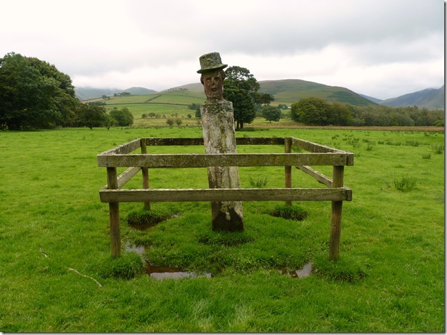
| After leaving the Moat I pass through a gate seen somewhere in the bottom left hand corner of this picture when I came across this odd looking what can only be described as a man wearing a bowler hat perched upon what looks like a tree stump or gate post, now I have spent quite a bit of time trawling the internet & various books but have come up with absolutely nothing, so If you do know who & what this is please contact me or leave a comment |
 |
| |
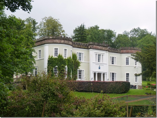
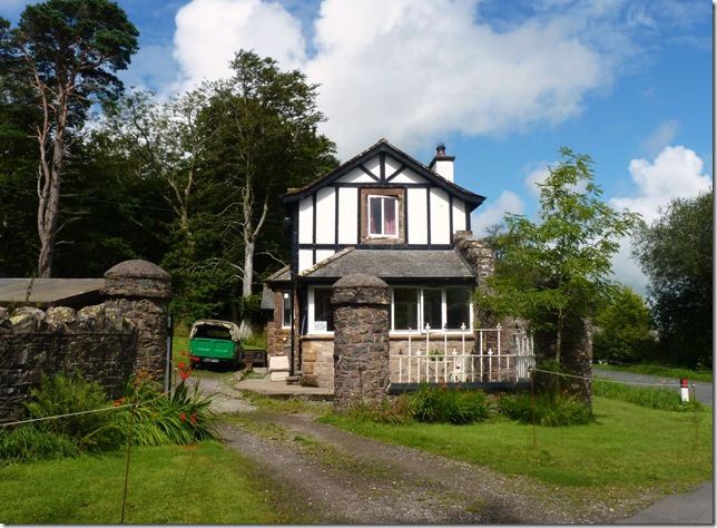
Over Water Hall.
This Grade II listed building was built in 1840 for Joseph Gillbanks a wealthy African trader. Legend has it that Gillbanks had an affair with a Jamaican girl who he tried to drown at Overwater Tarn when she told him she was pregnant. As she struggled to pull herself out of the water, he chopped her arms off. Her armless apparition is now said to appear here once a year. |
 |
| |
After the short walk from Over Water Hall I now find myself at Binsey Lodge & make a left turn & through a sheep pen & take on the gentle grassy slopes of Binsey. |
 |
| |
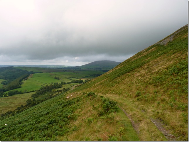
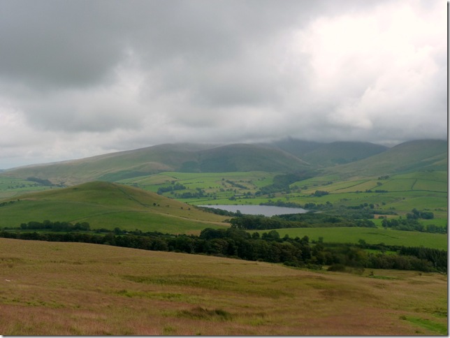
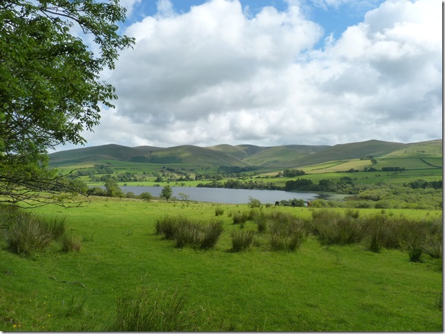
Looking over towards Over Water from my ascent up Binsey, the fells you can see in the background are my morning’s work & they look quite away from here, with Longlands Fell on the left Great Sca Fell & Meal Fell are cloud topped but I have a feeling they wont be for long. |
 |
| |
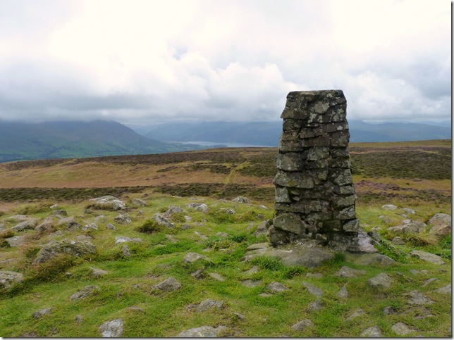
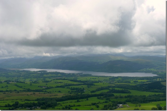
With the higher fells still under low cloud here we have Skiddaw & Bassenthwaite from the summit trig point of Binsey. |
 |
| |
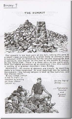
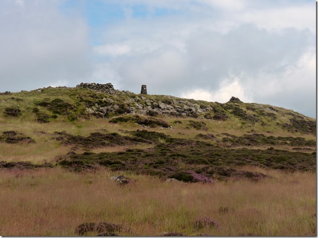
Wainwright’s Ancient Briton. |
 |
| |
After a couple of sandwiches in one of four of Binsey’s summit shelters I have a wonder over to the North cairn with anticipated views of the Solway Firth & the Scottish mountains but sadly not today, although the weather was clearing up just nicely I decide to have a wonder about Binsey’s small grassy summit plateau. |
 |
| |
Leaving the north cairn when the main summit cairn comes back into view. |
 |
| |
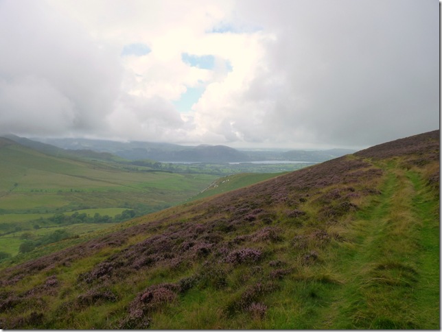
Bassenthwaite & the North Western fells. |
 |
| |
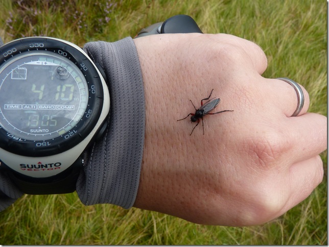
I don’t know how long this little fella was hitching a ride for which creeped me out a little, but he soon felt the wrath from a thunderous flick from my fore finger. |
 |
| |
Skiddaw still wrapped in cloud. |
 |
| |
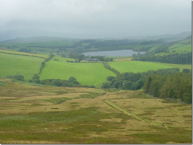
I make my way down from the summit in a slightly different direction & gaze upon my mornings quest before me, I think it is safe to say that today was living proof of the ever changing Lakeland weather. |
 |
| |
With Longlands Fell, Great Sca Fell, Meal Fell, Great Cock Up all completely cloud free now I think right about now I utter the immortal words ‘bloody typical’
I did this walk racked with guilt, But a phone call from the mobile to Mums hospital bed did wonders for me, my mum is still very poorly but that phone call was just after I took the shot of Dash Falls lit up by a burst of light. |
|
| |
| Back to top |
 |
|