|
Making it up as I go along in Troutbeck |
 |
 |
2nd September 2011 |
 |
|
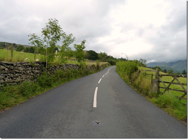
I had two walks planned for today, this one (sort of) & if the weather was bad maybe a walk in South Lakeland & take in Black Fell & Holme Fell in & around Tarn Howes, this I was more than pleased with as the weather forecast the Thursday evening depicted drizzle & light rain & of course we all know what comes with light rain ‘low cloud’ so that evening I went to bed with Tarn Howes in mind, this being a much smaller walk I decided it upon myself to only leave for Lakeland an hour later than I usually do, this also gives me more time to dodge the rain showers.
Well, it doesn’t take much to confuse me but the Met Office certainly did just that at 7:00 am that morning, a quick check on the mobile & over night apparently the light rain had gone leaving ‘white cloud’ with this I jumped out of bed tooth brush in mouth & preceded to kit up.
White cloud I thought…I can deal with that, Troutbeck it is. |
|
Wainwright Guidebook xxx |
 |
| The Far Eastern Fells |
There are many Tongues in Lakeland, all of them wedges of high or rising ground between enclosing becks that join below at the tip, but none is more distinctive or aptly named than that in the middle of the Troutbeck Valley. Other Tongues usually have there roots high on a mountainside, but this one thrust from the floor of Dalehead. Although of very modest altitude, it has an attraction for the gentler pedestrian as a viewpoint for the valley, and makes admirable short excursion in pleasant scenery from Windermere or Troutbeck or by Skelghyll Woods, from Ambleside. |
 |
|
| |
|
Overview |
|
|
| Ascent: |
2,824 Feet, 861 Meters |
| Wainwrights: |
4, Sour Howes, Sallows, Troutbeck Tongue & Wansfell Pike |
| Weather: |
Low Cloud, Medium To Heavy Rain Showers Easing Towards The Late Afternoon, Highs Of 17° Lows Of 12° |
| Parking: |
Church Bridge, Troutbeck (Free Parking-Room For About Six Cars) |
| Area: |
Far Eastern |
| Miles: |
12.9 |
| Walking With: |
On my own |
| Ordnance Survey: |
OL7 |
| Time Taken: |
|
| Route: |
|
|
| |
|
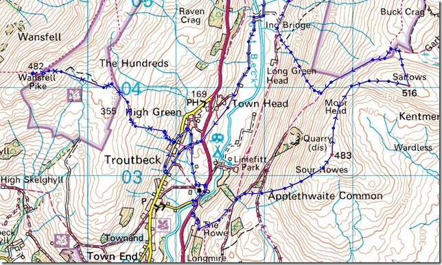
Map and Photo Gallery |
|
|
 |
| |
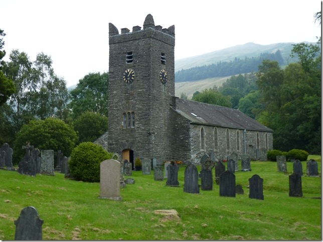
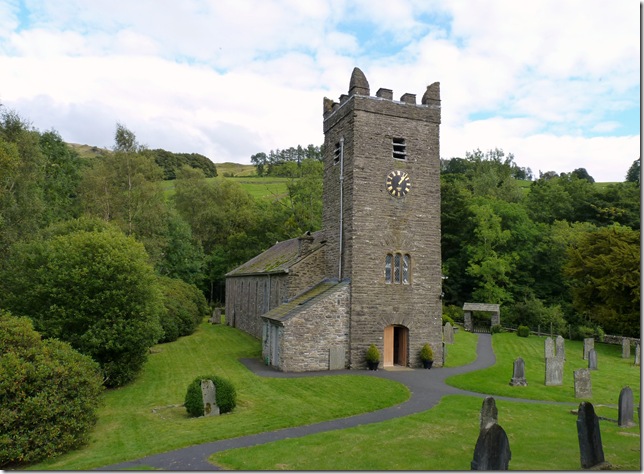
Jesus Church, Troutbeck, circa 1506
In sticking to its promises ‘white cloud’ remained as I took photos of this beautiful church & made my way out of the village of Troutbeck & for the lower slopes of the Garburn Road situated not 50yards back up the road. |
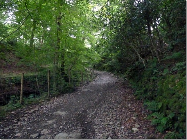 |
| |
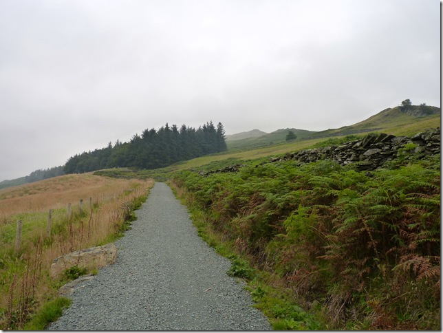
The leafy lanes of the Garburn road, within minutes this path leads you right onto open Fell side. |
 |
| |
From the path I contemplate my route, here as I head for the trees on the right I’m hoping for a … |
 |
| |
Perfect.
Behind the wall lies a grassy well trodden path which will lead you all the way to my first summit of the day, Sour Howes. |
 |
| |
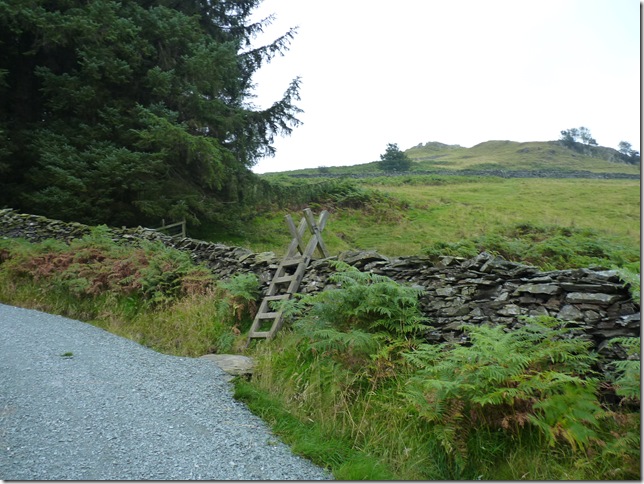
Looking back down the path & over the three sty’s I have crossed, deeper down the fellside is Limefitt Holiday Park, I remember some years ago this place being constructed & wishing I could afford one of these Holiday Homes every time I drove by..oh well you can wish Paul. |
 |
| |
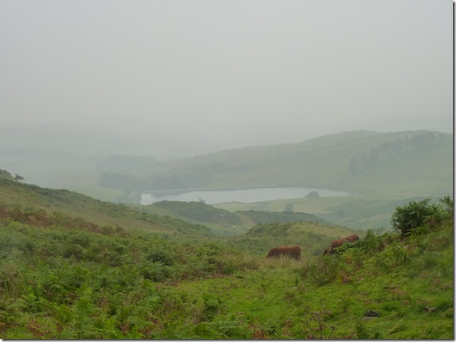
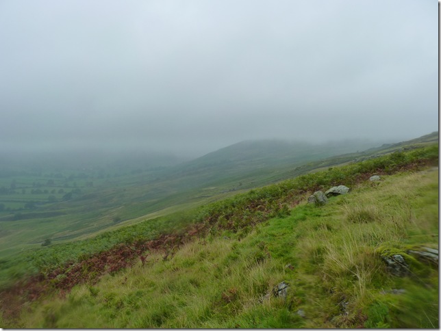
It started to rain as I get this viewpoint towards Dubbs Reservoir, it was still muggy & at this point I didn’t quite like the idea of putting the jacket on but this was the only way I was going to keep dry. |
 |
| |
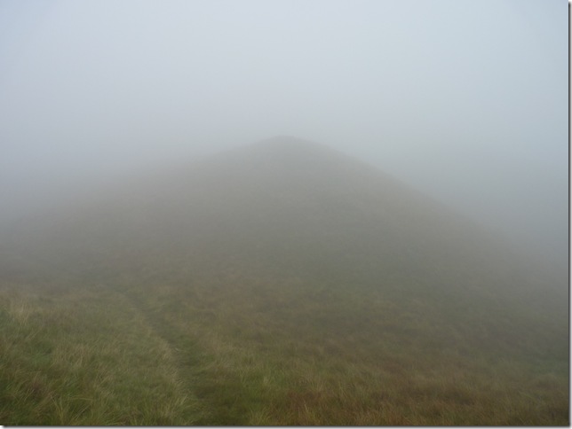
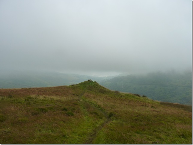
Heading towards Sour Howes summit.
It wasn’t to stop raining for the next three or so hours & as you can see I’ve lost all visibility, finding a grassy summit peaked with matching peaks wasn’t going to be easy. |
 |
| |
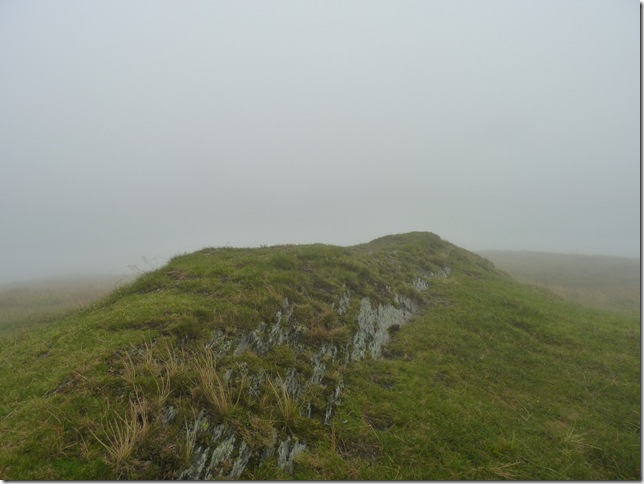
After some careful trekking on & off various grassy peaks I arrive at Sour Howes summit, with no cairn this-in these conditions & aided with GPS this was a somewhat trying summit to reach. |
 |
| |
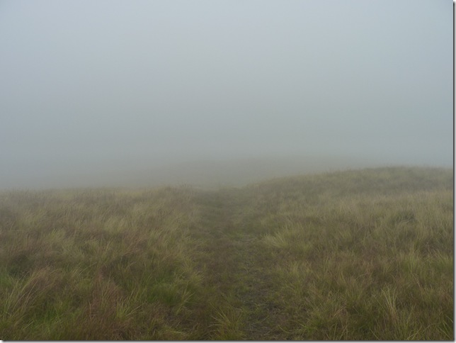
I press on in the cloud towards Moor Head & my next summit of Sallows, by now the rain was getting heavier & the wind stronger, I am soaked through to the bone as I utter the immortal words of ‘Nothing is totally waterproof’ The cloud seems to be thickening as I acquaint this section of the walk with a comfortable eeriness about it. |
 |
| |
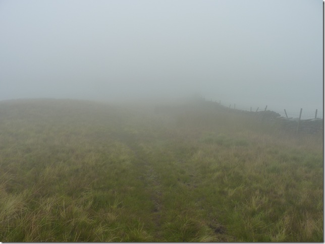
The path bends in a semi-circular direction where now I pick up this stone wall, a small comfort in cloud.
#Small Comforts
Being alone in conditions such as this-as a now much more experienced fell walker can still bring about some inner feelings, the stone wall ‘a man made object’ gives me that inner feeling that I am more than comfortable in my surroundings, I also find the ‘jiggle’ of my car keys in my pack is also another small comfort, weird I know, but that’s just me. |
 |
| |
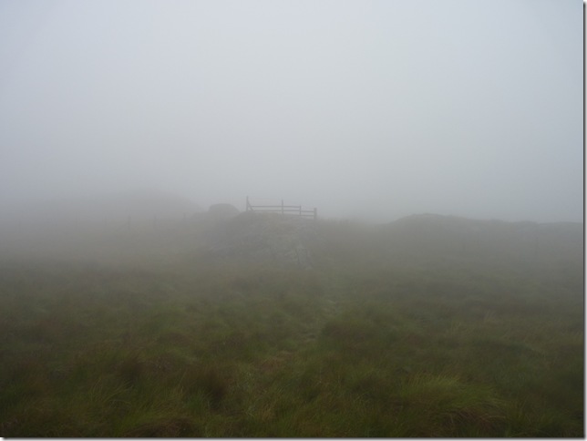
Sallows summit.
Although the path from Sour Howes to Sallows on a good day should be enjoyed by many a walker I by now was feeling pretty less enthusiastic, with just under the two hour mark into my walk I am dripping through, my hands look & feel like I’ve been in the bath too long, my feet the same. This was probably my lowest point of the walk as I now contemplate my way down to Garburn Nook, wind & rain in face. |
 |
| |
Garburn Nook & Garburn Pass.
A welcome sight if there ever was one, even though the rain had briefly stopped the long grass & heathers made the descent from Sallows a wet one, I squelched my way over to the wall where I had to cross a tight taught wire fence with you’ve guessed it, Barbed Wire- I was probably carrying by now a much heavier load than I was when I first left Troutbeck, my socks & boots alone must of been three times their weight in water alone, with all this in mind I put my right boot on the wire fence & began to lift my left leg over, the fence sprang under my weight a whole 20 meters or so-post an all. ok Paul, find a different spot to cross, each time I & the fence wobbled like a bloody spring ‘I cant believe this I muttered’ a bloody soddin fence & ‘I cant get over it’
I obviously wasn’t in Olympic mode, I find a different spot to cross & manage it, this time as I cross my leg over I snag my Montane walking trousers on the Barbed wire, I then swore (alot) & preceded my way along the Garburn Pass. |
 |
| |
Composing myself as I stuff the third Satsuma down, I now find myself walking back into Troutbeck.
My original plan was to make a descent down the side of Buck Crag (Buck Crag is in-between the top of the Garburn Pass & Yoke) & enter the Troutbeck Valley that way, but given the morning I’ve had I’ve opted for a much gentler descent somewhere not so high above Long Green Head Farm. |
 |
| |
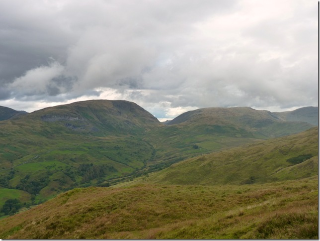
With the cloud still low I make my way across Long Green Head & make a steady descent at the same time, ahead & still out of view is Troutbeck Tongue, the small fell you see ahead is the side of Lowther Brow. |
 |
| |
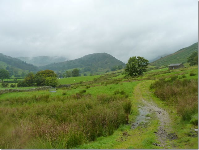
That’s more like it.
I have now picked up the path & Troutbeck Tongue bound, its quite a long valley as you may well have seen from the Kirkstone Pass high above to my left, I can hear the cars as I now take off the soaked jacket & rap it under my pack lid, the warm muggy air soon dries out my base layer & trousers making Paul a happy boy. |
 |
| |
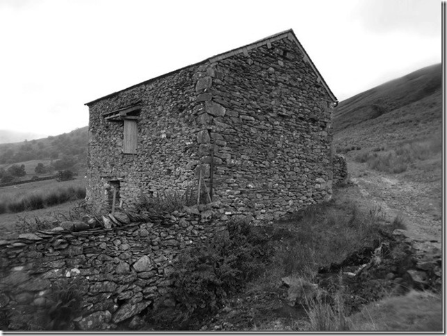
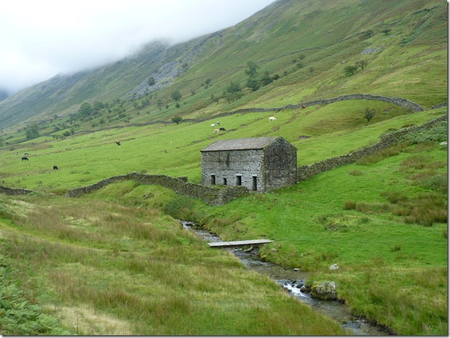
I really do like the sight of these old & I wouldn’t say ruined stone buildings, they really give the pathway & valley a sense of character. |
 |
| |
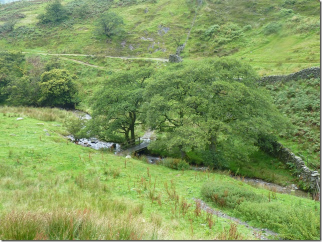
Happy & more or less dry as I cross Hag Gill & take in the small but steep path towards Troutbeck Tongue’s summit.
# My Plans :
My original plan was to take the summit of Troutbeck Tongue & then descend its steep east facing slopes towards Hird Wood, cross the Kirkstone Pass & take on the open fellside of Idle Hill, Braystones & finally Wansfell.
With low swirling cloud I knock Wansfell on the head & this time for me; yes I was gutted but the wet socks & boots would just make this plan almost un-enjoyable especially the ‘plan I had’
# What I did :
What I shall do is take in the summit & make my way down the back of the Tongue at a leisurely pace which is just what I did.. |
 |
| |
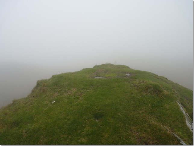
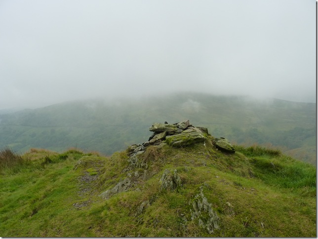
Troutbeck Tongue summit cairn & the first cairn I had seen all day.
With Idle Hill in the background I found my decision to summit it & Wansfell more comfortable to swallow. |
 |
| |
Looking back on the summit & sadly no views towards Windermere today. |
 |
| |
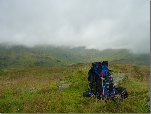
Lunch without a view.
With Troutbeck Tongue at a altitude of 364 meters you can see just how low the cloud base here is today, Bearing this in mind within the bowls of Troutbeck really is a wonderful place to be. |
 |
| |
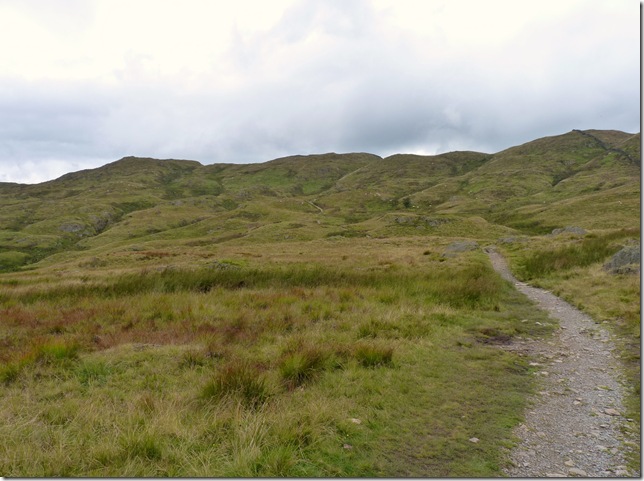
Views towards Threshthwaite Mouth ahead & sadly under cloud. |
 |
| |
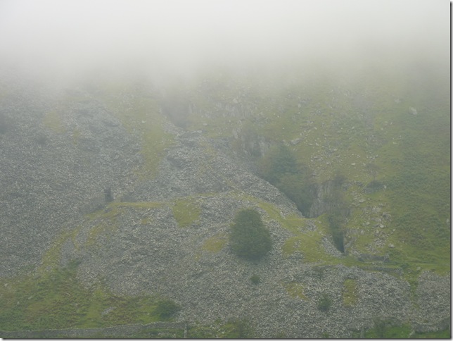
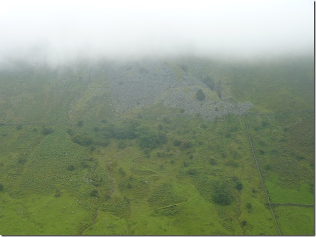
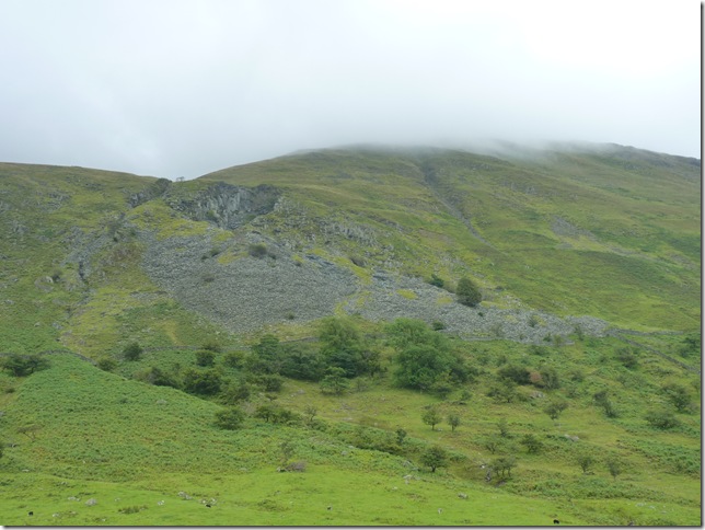
Looking East within the valley on the lower slopes of Yoke is the disused High Mere Greave Slate Quarry. |
 |
| |
Panning out a little reveals the zig-zag path the Quarry men & machinery would of used. |
 |
| |
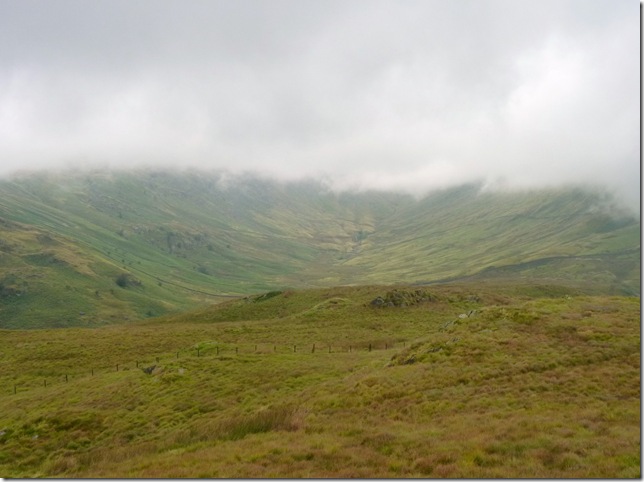
Cloud lifting to reveal Hart Crag (Woundale) (L) & Threshthwaite Mouth (C)
Threshthwaite Cove & on the other side the Pasture Beck Valley form a ‘Trough Head’ or a back to back cirques formed from the last Ice Age. |
 |
| |
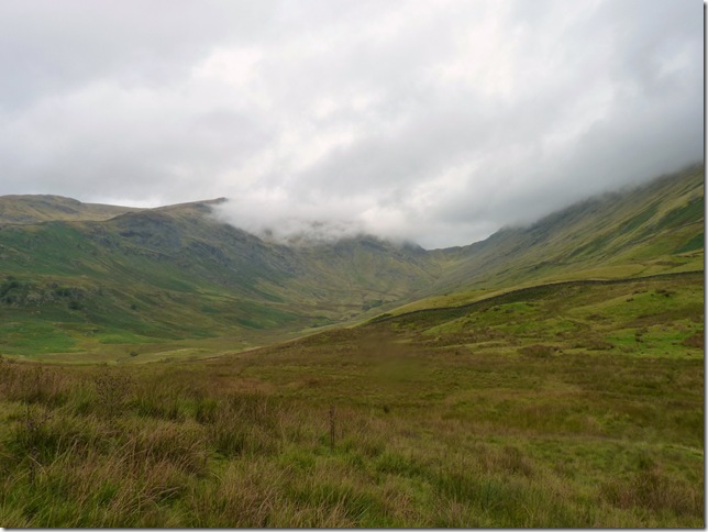
Views from the head of the Troutbeck Valley with the III Bell ridge of the left & Troutbeck Tongue to the right. |
 |
| |
Now passing Low Mere Greave Slate Quarry. |
 |
| |
Looking back on Low Mere Greave Quarry this time from Hag Gill.
Crossing Hag Gill here would put you on the path towards the Garburn Pass, after a very long walk that is, it was here I saw the first people of the day on the other side Of Hag Gill what looked like day trippers or Holiday makers from Limefitt Park, what you can’t see out of shot to the right is three slag spoils with four what looked like women pensioners in there knitted jumpers & sandals, I just couldn’t get it together what they were doing on the there… |
 |
| |
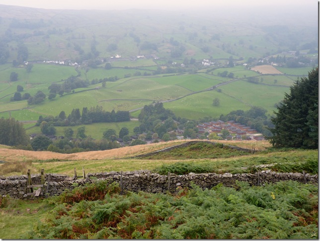
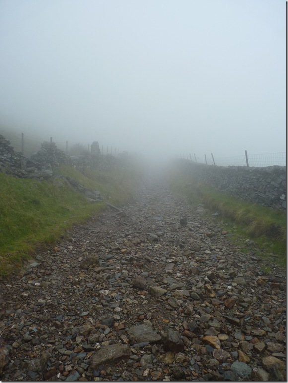
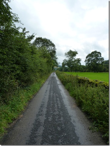
Ing Lane.
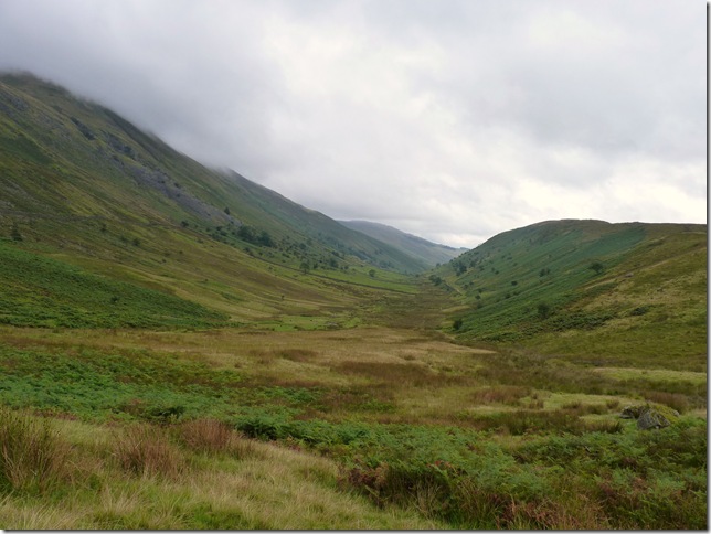
It was just over a 3 half mile trek out of the valley & back to Troutbeck Village, I wondered to myself that this was a fairly limited walk for the average walker, to include Sour Howes & Sallows was an added bonus given some good weather on any given day, but Paul just didn’t feel satisfied right about here, Wansfell ever so slightly kept creeping up, yes I had been soaked & yes my socks & boots were still squelching but one thought now that the weather typically had now started to clear was ‘Windermere from Wansfell’ I bet it looks fantastic… |
 |
| |
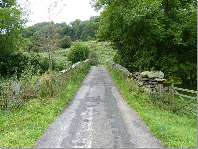
A missed opportunity as I cross Ing Bridge, this being one of the nicest pack horse bridges in Lakeland. I fail to get the shot from the bank. |
 |
| |
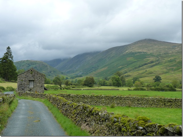
Looking back on Troutbeck Tongue from Ing Lane with Yoke, III Bell & Froswick still under cloud. |
 |
| |
Crossing Kirkstone Pass.
This was decision time, Out of shot to the left is a quite lane that would avoid me travelling the pass & Troutbeck Church Bound, if I follow this track however a little further it will lead me to High Green & the starting point for Wansfell at Nanny Lane, what do I do… |
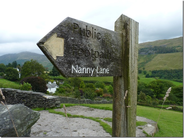 |
| |
I go for it.
Its been a long day, typically I’ve been walking now for almost six hours, four of them in the cloud & driving rain, I’m tired but I am not beat. |
 |
| |
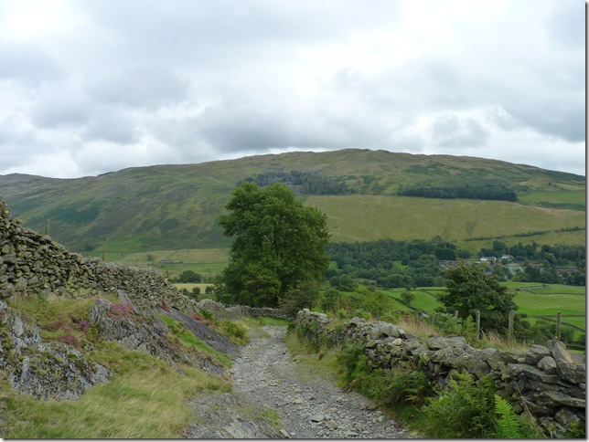
Looking back a now cloud free Sour Howes & Sallows from Nanny Lane, D’oh!! |
 |
| |
In my eagerness I over take two separate couple on Nanny Lane, it seems I have a last push of energy as I pass a sty marked Wansfell & Ambleside. |
 |
| |
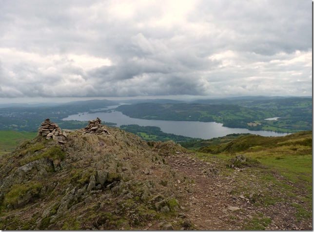
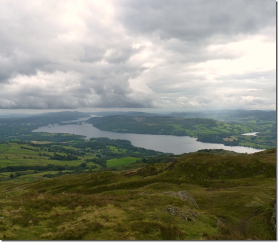
Wansfell summit & cairn with Windermere in the background.
This was the view that had squeezed my soul for the last two hours & it was more than worth it, Wansfell really is a fantastic summit. |
 |
| |
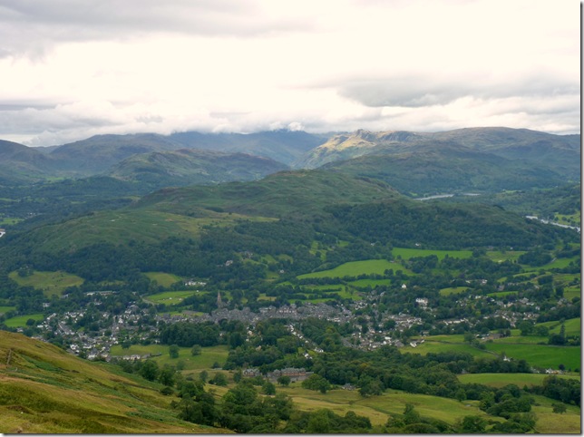
Loughrigg, Ambleside & The Langdales from Wansfell summit. |
 |
| |
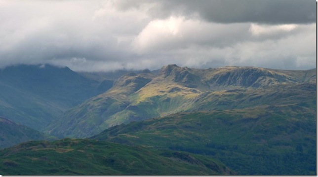
A close up of the Langdales from Wansfell summit. |
 |
| |
Snarker Pike, The Pets Slate Quarry & the roadway aptly named ‘The Struggle’ |
 |
| |
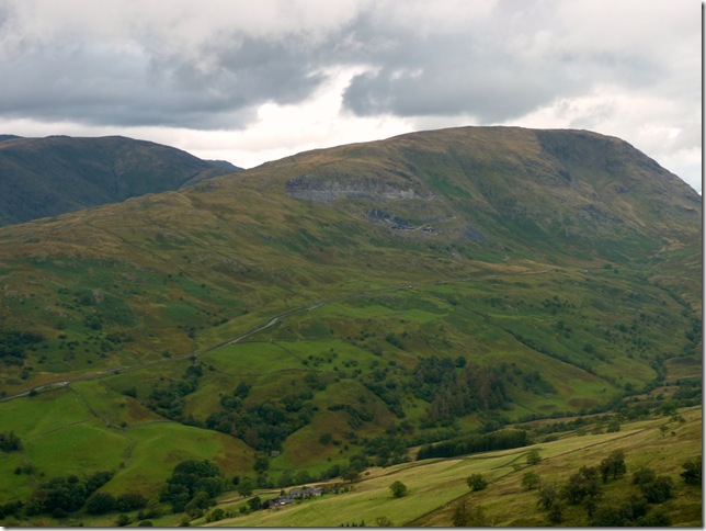
Here we have Snarker Pike forming Red Screes on the left, with the depression of the Kirkstone Pass centre & Caudale Head on the right. |
 |
| |
Windermere & Elter Water as I start my descent. |
 |
| |
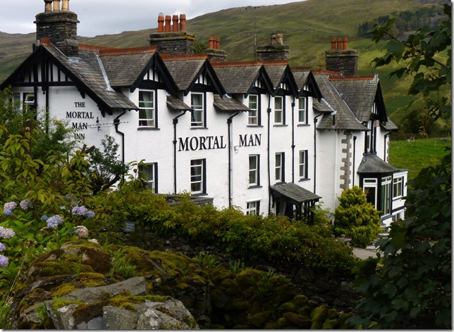
The Mortal Man, High Green.
If only my knees felt so mortal! |
 |
| |
And finally back where I started at the Jesus Church, Troutbeck.
This walk did wonders for me & it freed up some laden deep troubles that I have carried over the past month or so. It has took me ever closer to completing my goal of four years with three new Wainwrights included in this walk. Don’t get me wrong this was a tough one & I have tougher yet to come but as far as feeling that maybe I am getting back on track at least with my fitness & fells side of things there is a small glimmer of hope in those knees & in that head of mine that hopefully my confidence on & off the fells is returning. |
|
| |
| Back to top |
 |
|