|
A Howgill Circuit |
 |
 |
14th November 2011 |
 |
|
Tearing myself away from Lakeland this weekend seemed like a good idea at first-for a new venture laid in wait, its an impossible situation this tearing lark, for how stupid this may seem, It seemed that now I was about to betray something I dearly loved. Maybe I’m just being a little too sensitive but then again even I don’t understand the magnitude that Lakeland holds on me.
Nothing for sure is ever going to top my last Wainwright summit on that rain drenched day on the summit of Angletarn Pikes, nothing is going to top my ascent on Lords Rake, both Scafells & Slight Side, The Coledale Round? the same round I saw my first ever Cloud Inversion… I mean, what do you get a millionaire for Christmas? because over the last few months I have enjoyed this adrenalin spectacled rush of rakes & scrambles, & right now I don’t wanna get off.
I’m a stick in the mud when it comes to change, above all that psychological paraphernalia I am above all else a Taurean & apparently as I’m told, Taurean’s don’t like change.
You dont say…
Its a big mix in a cauldron of Fells & memories right now, Lakeland is drawing me in come mid-week, but I know somewhere deep inside a new venture is screaming at me, could this be the Howgills?
A very well maybe…
The wind blows right through you, its no place for the old.
MacGowen/Finer |
|
Wainwright Guidebook |
 |
| The Howgill Fells |
-Walks On The Howgill Fells:
Howgills want putting on the map: they have what many people increasingly seek. What is needed is not a plan for fancy hotels and amusement parks and chairlifts and motor scrambles, heaven forbid, nor large-scale forests and reservoirs – for such innovations would rob the district of the unique character that makes it so distinctive and in which lies its salvation – nor even a sighting of a monster in the Lune or a dinosaur in Bowderdale. It is not a plan that is needed, nor changes in the landscape, nor a sensational attraction to bring coach loads of rubbernecks, but a steady influx of quite orderly visitors who enjoy hill-walking as nature fashioned it. The Howgills would be superb territory for pony-trekking, and they look (to a non skier!) ideal for winter expeditions, but their greatest appeal must ever to be those who love to walk freely ‘over the tops’ and commune with nature in solitude.
There is no better place for doing this than the Howgill Fells, bless them. |
 |
|
| |
|
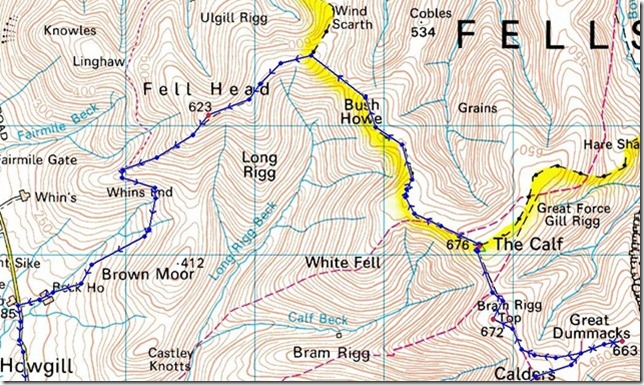
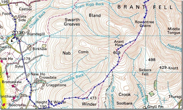
Overview |
|
|
| Ascent: |
2,800 Feet, 854 Meters |
| Summits: |
7, Winder, Arant Haw, Calders, Great Dummacks, Bram Rigg Top, The Calf, Fell Head. |
| Weather: |
Overcast & Strong Gale Force Winds, Highs Of 11° Lows Of 9° |
| Parking: |
Holy Trinity Church, Howgill Lane, FOC, Room For 3/4 Cars |
| Area: |
North Yorkshire Dales National Park / Upper Eden Valley |
| Miles: |
11 |
| Walking With: |
On my own |
| Ordnance Survey: |
OL19 |
| Time Taken: |
|
| Route: |
Howgill, Winder, Arant Haw, Calders, Great Dummacks, Bram Rigg Top, The Calf, Fell Head, Whins End, Howgill |
|
| |
|
Map and Photo Gallery |
|
|
 |
| |
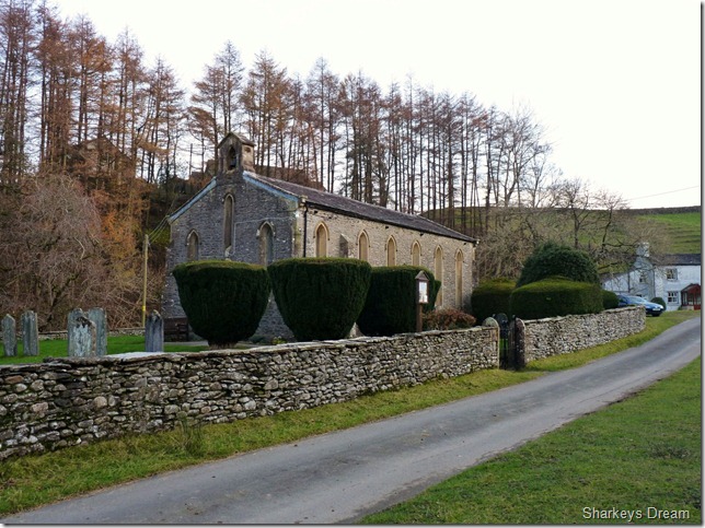
St Trinity’s Church, Howgill, circa 1838
9° 7:50am
Shivers went through me as I kitted up in the small parking spaces set neatly behind the church, I hadn’t quite expected quite a dip in the temperature, but I can also owe this to the fact that I had just left the oven like heating I had switched on in the car all the way here. I had followed a delivery truck through the tight narrow lanes up-until the driver kindly pulled over in a passing place to let me pass.
Off I trundled in search of the St Trinity. |
 |
| |
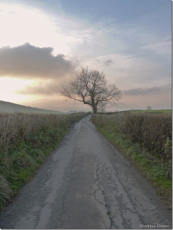
Howgill Lane.
As I kitted up I noticed a middle aged woman in the row of cottages behind the CP washing the morning dishes, all I could see was her midrift & this tea towel frantically drying cups & what not, I’m being observed I tell myself…The first thing on notably: was my jacket, even before I shelled my North Face Mids for my sturdy Salomons I do my best to null the shivers from this winter bite. I glance over my shoulder & the pot drying woman has disappeared from her kitchen window, sitting on the sill of the car I boot up gloves an all.
This morning in Howgill definitely has that winter nip to it.
I wander over to the church entrance & take about half a dozen shots, a splendid start & finish to a walk I mutter to myself, as I retrace my steps back to the car & a steel gate I had to open (just out of shot in the first picture) I hear a diesel engine, its got to be farm like, roaring down the lanes, the hedges echoing even a gear change, what ever this is I will wait & let it pass, this I do until what comes around the corner, but the delivery truck that so kindly let me pass not fifteen minutes earlier. I open & close the gate for him, the driver smiles with a thumbs up. One good turn deserves another, with this I am on my way to Winder & a mile half trek along the tarmac road of Howgill Lane. |
 |
| |
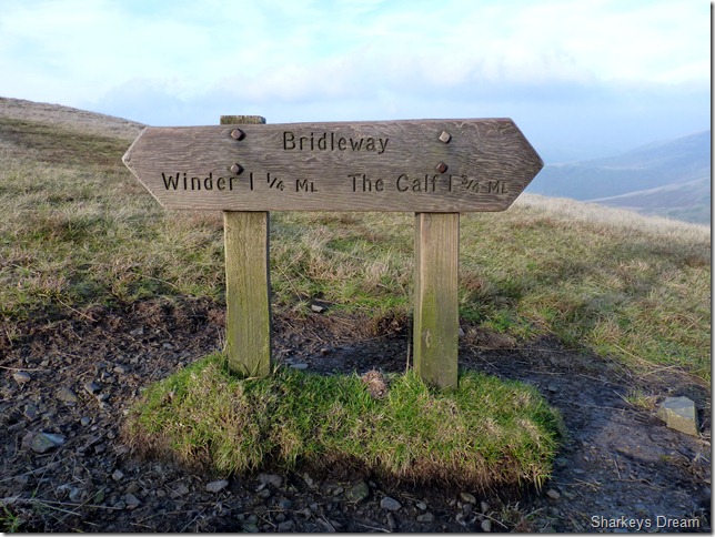
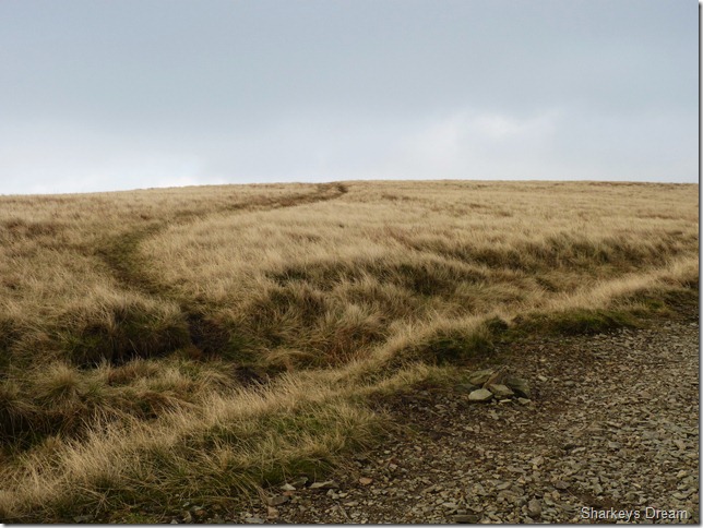
Howgill lane ventures on towards Sedbergh, when here I take a left at this signpost & cobbled footpath for no less that 500 metres towards the main & grassy footpath & Winder Hill bound. |
 |
| |
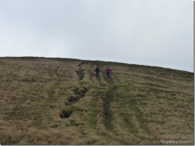
The thousand yard stare. |
 |
| |
That’s right, keep on moving… |
 |
| |
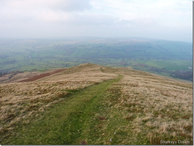
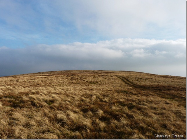
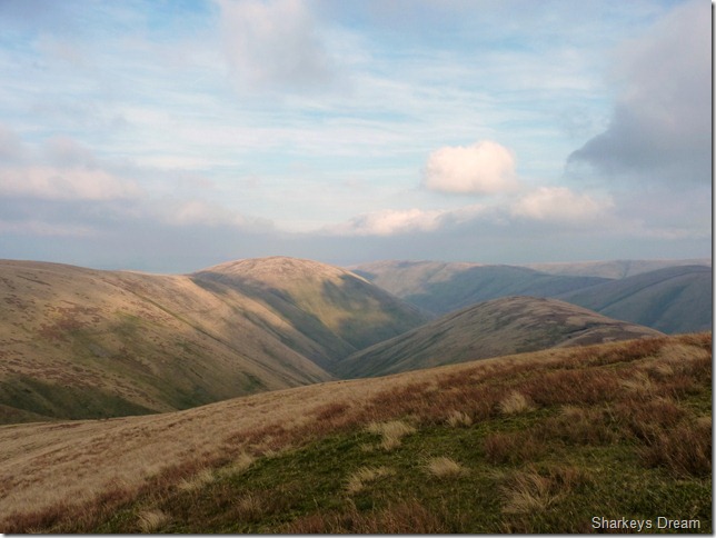
Looking down the grassy track from Height Of Winder.
Its a tough o’l slog up the steep grassy paths, as I reached the top of the cobbled lane I had two choices, one was to stick to what looked like a more well worn grassy path to my right, or do as my map says & take the notably, not as well worn path to the left, this I go with & soon pick up a cut path in between the dying bracken.
This path I lose as easily as I picked it up, you don’t have to look far to pick or head for more obvious tracks cut in between the bracken, these I head for & am soon on the main summit path for Winder. |
 |
| |
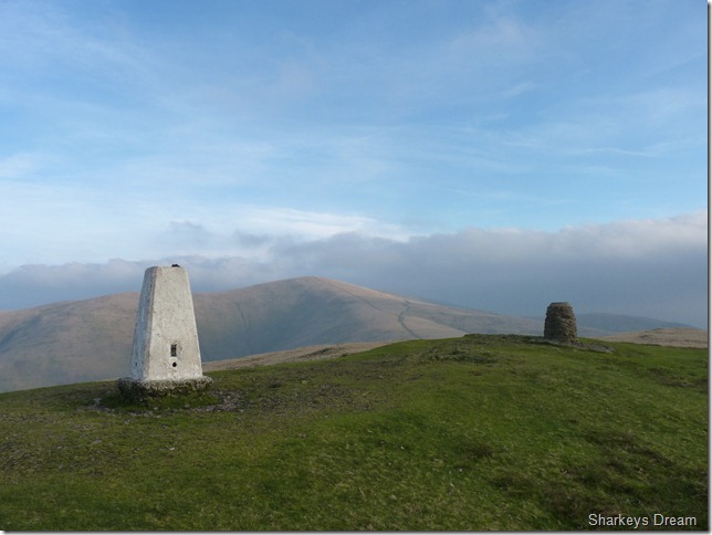
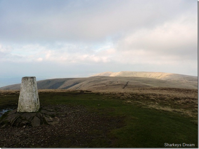
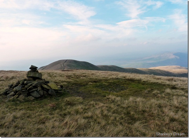
Winder summit Trig Point & Observation Post with Arant Haw in the background.
The first thing I notice as I gained more height this morning was just how windy it got, In fact, I don’t think windy is the right word, gale is the word I am looking for. It was blowing a royal hooley at the summit so it was here I take off my pack & don my beanie hat. |
 |
| |
Arant Haw & Middle Tongue as I leave Winder summit.
This particular section, & indeed much the whole of today’s route, was chosen because of these semi connecting ridges with each fell, this really is my kind of walk, I just wish right now the ever strengthening gales weren’t taking my mind off things… |
 |
| |
Looking back across the ridge to Winder from my ascent on Arant Haw. |
 |
| |
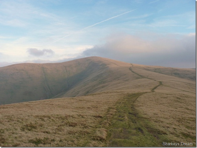
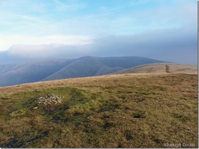
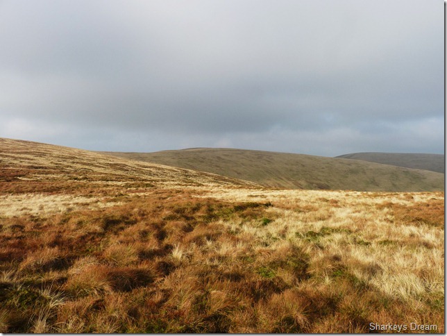
Calders from Arant Haw summit cairn.
By now the gales had got pretty fierce & laid heavy on the mind, this was turning from a walk into a battle. The Forecast had predicted 40/55mph gusts & while I think as times, especially while on the summit of Skiddaw back in March 2010, that day was a walk in the park compared to the next ninety minutes that followed. |
 |
| |
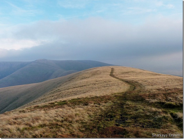
Heading for Calders along the ridge that forms the Rowantree Grains. |
 |
| |
With Calders & Great Dummacks well in sight, & great footpaths underfoot I try not to think about the battering I am, and yet to take, its such a shame that at times even holding the camera in a vertical position was near impossible. The bite from the gales tore at my exposed skin & I knew sprits were dropping, the worst thing was, that right at this point, on this ridge, I should be enjoying what Paul likes best, & that is ridge walks, instead I am fighting for footings & taking a bruising from mother nature herself. |
 |
| |
Something rarely, if ever seen in Lakeland…this I like. |
 |
| |
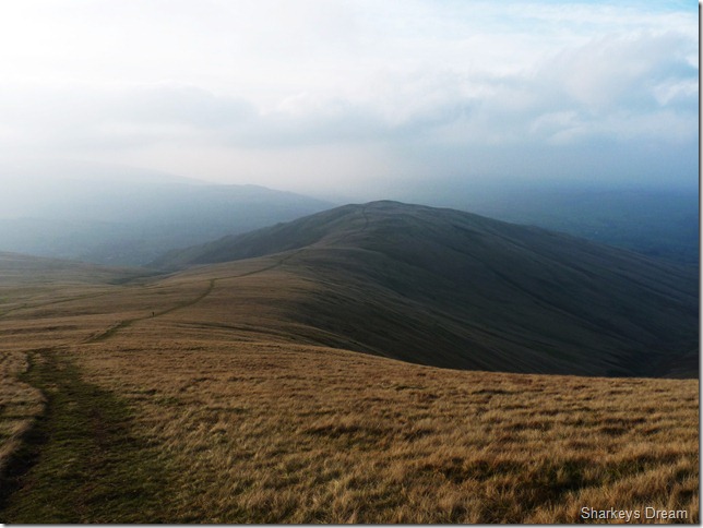
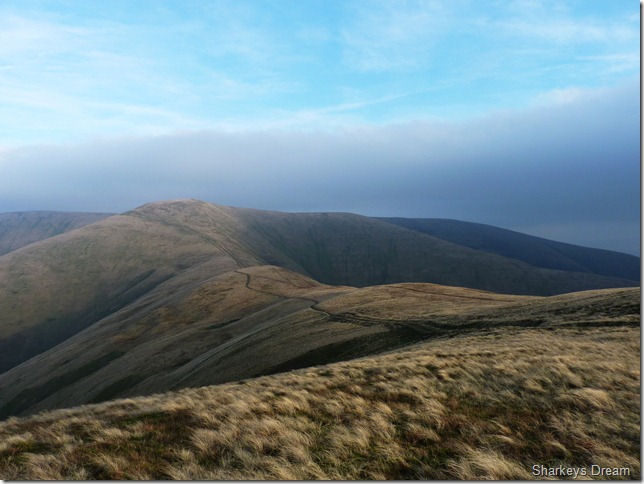
Looking back across Rowantree Grains to Arant Haw from my ascent on Calders.
This, the most exposed ridge along this route was just brutal to be honest, I fought all the way to Calders summit & the thought of even a turn around did cross my mind… |
 |
| |
Great Dummacks from Calders summit cairn.
The wind had somewhat significantly died enough to fade all thoughts of a turn around, which indeed I found quite odd, with this my spirits lift a little for an excursion over to Great Dummacks |
 |
| |
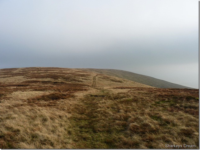
Heading for Great Dummacks.
Great Dummacks is a much spoke about fell in the Howgills, I know this purely because of its lack of summit presence, & not just lack of summit presence, but also lack of summit cairn.
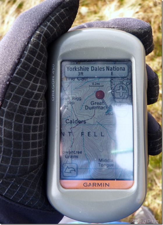
I follow a track carefully from the summit cairn at Calders seen in the photograph, for some reason I keep to the right when if you look carefully you can see the path splitting left & right, I’ as always stick to the more obvious path which I found to be the right, yet this path out-flanks the summit if not, by-passes the summit altogether. I have the GPS in hand as I follow my marker to within 3ft of the Ordnance Summit point, it is here I claim Great Dummacks summit while perched upon a clump of heather. |
 |
| |
Great Dammacks summit marker & afraid ‘Nothing to see here’ |
 |
| |
I took this picture as I left the summit of Great Dummacks. |
 |
| |
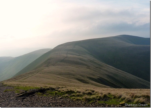
With a spirit boost I now head for Bram Rigg Top seen (C) I figured in Lakeland, that here you would see a small cut across the ridge top, but not here, this just goes to show the huge comparison of walkers that trample the lovely Howgill Fells compared to the vast amount that walk the fells in Lakeland.
I make my way all the way back to the cairn at Calders, hook a right, & make for Bram Rigg Top |
 |
| |
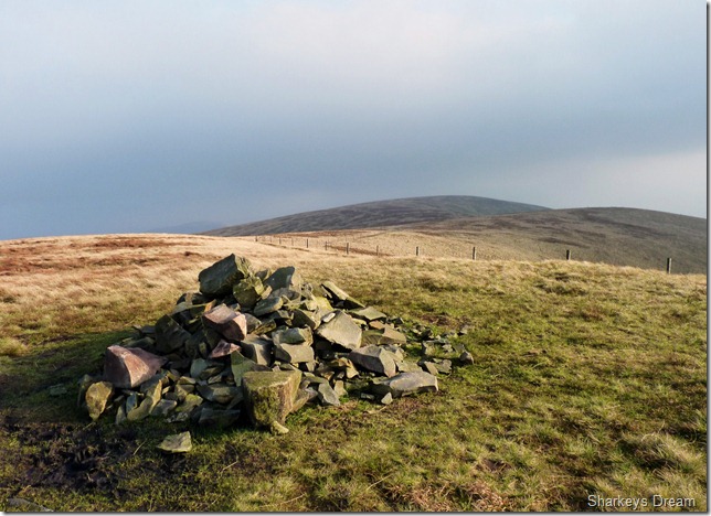
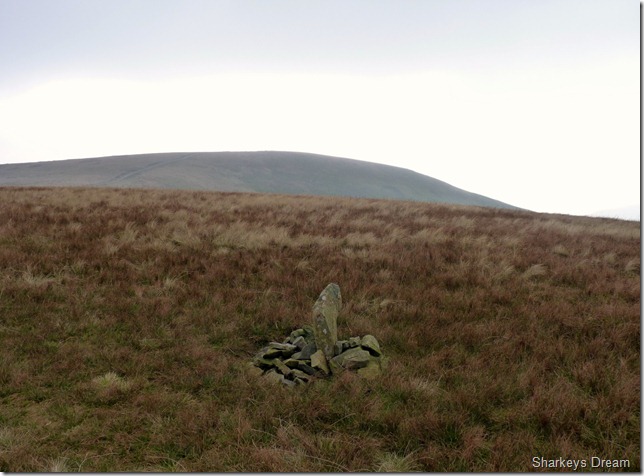
A stone Cairn marks the spot as I leave the main path & head for Bram Rigg Top summit. |
 |
| |
Calders from Bram Rigg Top summit Cairn.
It was a lovely stroll across grassland to reach the summit, here I am still being buffered by gales but not to the extent as I was while I crossed Rowantree Grains. |
 |
| |
Its then just a short stroll & a little ascent to The Calf. |
 |
| |
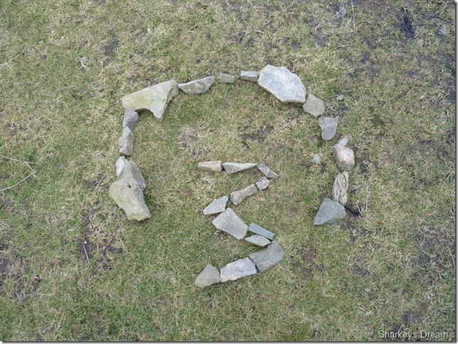
Some strange goings on at the summit top? |
 |
| |
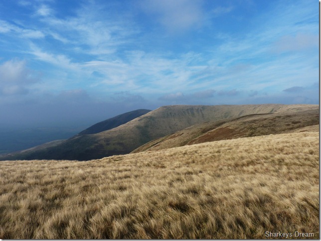
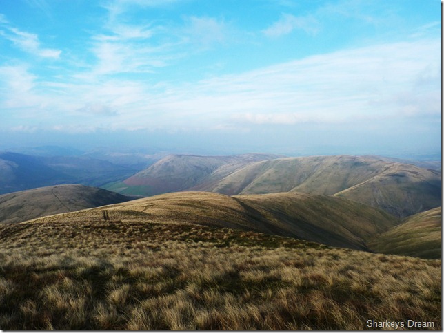
On leaving The Calf summit, this section in between Bush Howe (centre right) & White Fell Head was possibly the finest section of the walk, I think sometimes that pictures speak louder than words. |
 |
| |
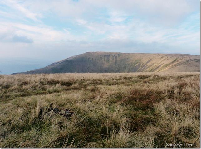
Fell Head seen from the small stone cairn at Bush Howe. |
 |
| |
Looking east towards Windscarth (L) & Cobbles (R) |
 |
| |
| The only two I was to see all day was while in a descent & ascent towards Brecks Head, we chatted momentarily about our routes & the weather, I noted the col at Rowantree Gains was quite wild & some of the worst wind I had experienced in my walking career, I didn’t see them again until I got back to the CP & noted one other car parked next to mine, it was there’s which rang true to the fact, The Howgill fells can be a lonely place |
 |
| |
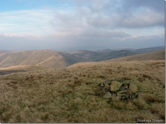
One of two summit cairns found on Fell Head. |
 |
| |
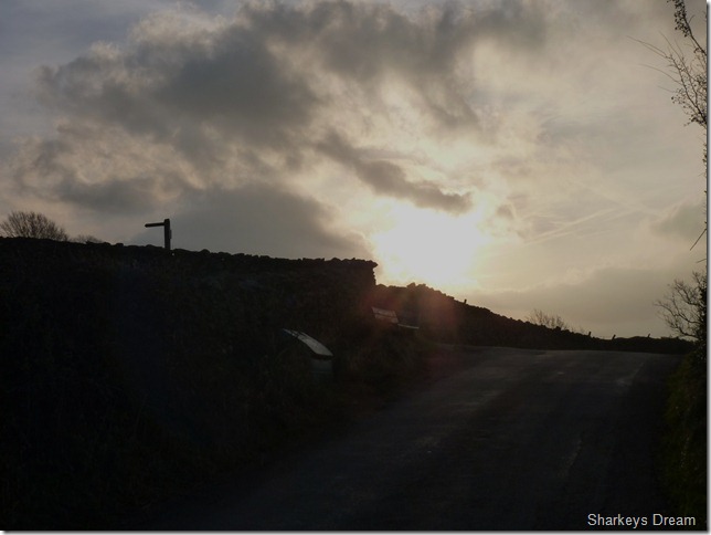
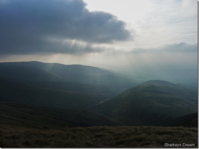
Burst of lights over the Howgill Fells. |
 |
| |
Found a little further along the summit top is the true summit cairn. |
 |
| |
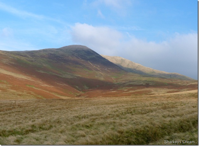
Nearing the end of my walk when the M6 not only comes into view but a definite motorised raw cannot go unnoticed, the Howgills to the right of the picture are Uldale Head & Blease Fell. |
 |
| |
Looking back on Fell Head & Fell Head Scar as I make my way towards Beck House Farm. |
 |
| |
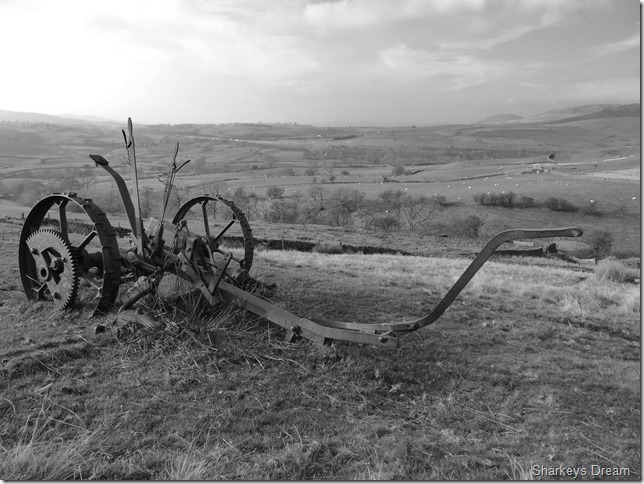
Old farm machinery left on the hill side. |
 |
| |
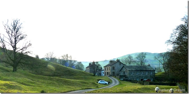
Thwaite.
I think if we replace the white Fiat 500 with a horse & cart, you may get some idea just how much Thwaite has been untouched by time.
This walk for me was a captivating brand new experience of rolling fell tops & solitude aplenty. The strong gale force winds took that solitude away for a while, with nothing else to concentrate on other than reaching the summits, but the wind cant take away memories of a fantastic set of fells tucked away on the Cumbrian/Yorkshire border.
To be continued… |
|
| |
| Back to top |
 |
|