|
The Martindale Horseshoe |
 |
 |
19th May 2013 |
 |
|
It is true, that as of late there has been an on going issue with the unpredictability of the wet, & indeed wintery weather that Cumbria & indeed the whole of the UK has been experiencing – with the best of the weather frustratingly enough, occurring during midweek when most of us are at work. We are mid May & should be rolling up the sleeves & thinking about bringing the shorts out, okay the temperatures have increased slightly & maybe the snow has all but melted but it simply isn’t summer weather is it?
Right now I would settle for Spring to re-appear.
My head has been over worked, the elastic band came off after these past few weeks I simply cant think Lakeland & my beloved fells because people need their cars back on the road & its up to me to get them there. I dream of winning the lottery & buying some humble two up two cottage that’s in need of a white wash nestled away in the deepest of some wind swept valley.
It’s not too much to ask is it? Okay it is, I’m never going to find myself in the paint isle looking at Brilliant white am I? so instead I’ll settle for what we all know as life.
Bugger.
Back to my walk which hosts some ten summits of which I have only visited a handful less than once since bagging my Wainwrights some two years ago & back then you guessed it, it was raining then too. |
|
| Wainwright Guidebook |
 |
| The Far Eastern Fells |
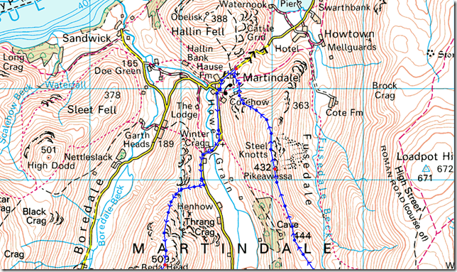
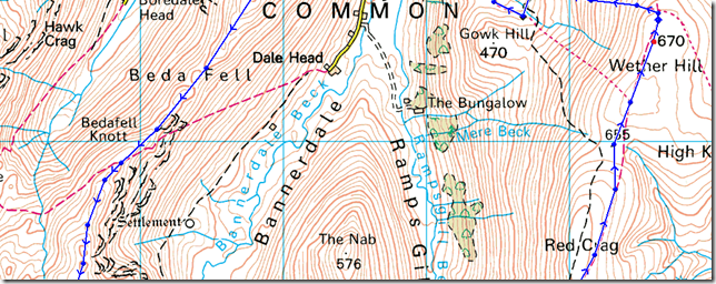
- Rest Dodd:
The steep-sided ridge that divides Martindale into the secluded upper valleys of Bannerdale and Rampsgill rises first to the shapely conical summit of The Nab and then more gradually to the rounded dome of Rest Dodd, which dominates both branches. |
 |
|
|
| |
|
Overview |
|
|
| Ascent: |
4,007 Feet, 1,221 Metres |
| Wainwrights: |
9, Beda Fell – Angletarn Pikes – Brock Crags – Rest Dodd – The Knott – Rampsgill Head – High Raise – Wether Hill – Steel Knotts (Pikeawassa) |
| Weather: |
Some Drizzle, Calm & Very Muggy, Highs Of 14°C Lows Of 11°C |
| Parking: |
Parking Spaces, Martindale New Church |
| Area: |
Far Eastern |
| Miles: |
12 |
| Walking With: |
On my own |
| Ordnance Survey: |
OL5 |
| Time Taken: |
7 hrs |
| Route: |
Martindale New Church – Martindale Old Church – Winter Crag – Beda Fell – Bedafell Knott – Angletarn Pikes – Brock Crags – Satura Crag – Rest Dodd – The Knott – Rampsgill Head – High Raise – Raven Howe – Red Crag – High Street Roman Road (Course Of) – Wether Hill – Brownthwaite Crag – Steel Knotts (Pikeawassa) – Birkie Knott – Lanty Tarn – Martindale New Church |
|
| |
|
Map and Photo Gallery |
|
|
 |
| |
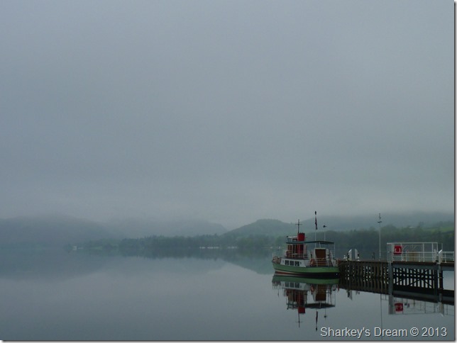
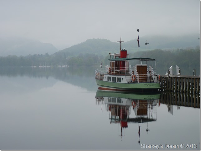
Ullswater reflections.
I couldn’t resist to stop & admire the still & calmness of early morning Ullswater as I approached Pooley Bridge, those lingering low clouds look like they may be in for the day, but, I say to myself there’s hope, as the forecast was for any low cloud to lift as the morning transpired.
If I had a penny for every time they’d got it wrong I’d be typing this from inside my newly furnished Lakeland hideaway. |
 |
| |
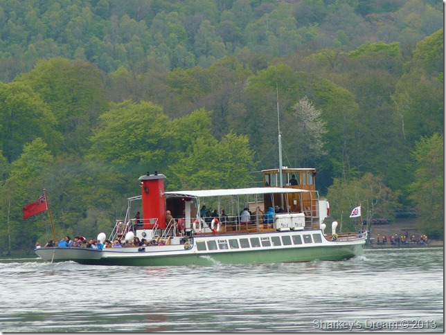
The Western Belle. |
 |
| |
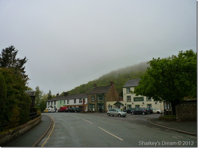
Sleeping Pooley Bridge. |
 |
| |
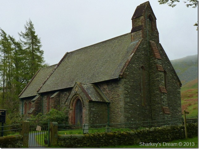
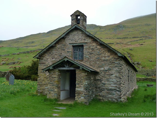
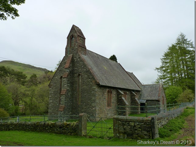
Martindale New Church.
It is here nestled by Martindale New Church that my walk starts, I am not the first to arrive as two more cars take up the off road spaces.
I open the car door & expect a slight morning chill but nothing could be further than the truth, the morning air is mild, mild enough to de-layer even as I set off with just the one mid-layer as I zip up. The hat & gloves get left in the lid of my pack. |
 |
| |
Winter Crag & Beda Fell’s north ridge not revealing too much of her summit as I leave Martindale Old Church.
Just a short walk over my shoulder sits Hallin Fell which offers some of the best views of Ullswater & its surrounding fells, but not this morning, this morning with only an altitude of 1,272 Ft Hallin Fell summit top is cloaked by low cloud, I keep my gut feeling that this cloud will rise throughout the course of the morning. |
 |
| |
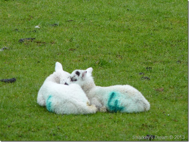
I don’t know which one looks the comfiest. |
 |
| |
Passing by Martindale Old Church along my route, circa 1266 |
 |
| |
The Birkett Tomb
Lying at the south east corner of the church is the tomb of Richard Birkett who was the first ‘Vicar’ at the Parish of Martindale. Richard Birkett died on Christmas day in 1699 after 66 years of loyal ministry.
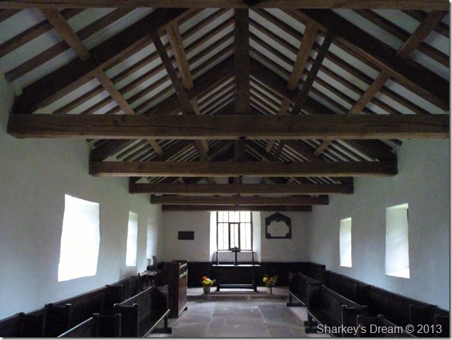
I had to take a look inside… |
 |
| |
The Font is certainly thought to be Roman which was brought down from the roman road off High Street over 500 years ago.
If walls could talk… |
 |
| |
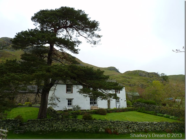
Winter Crag Farm.
Talking about beautiful white washed cottages tucked away in far away hamlets… I wouldn’t even have to paint this one.
Winter Crag Farm now resides as a holiday cottage. |
 |
| |
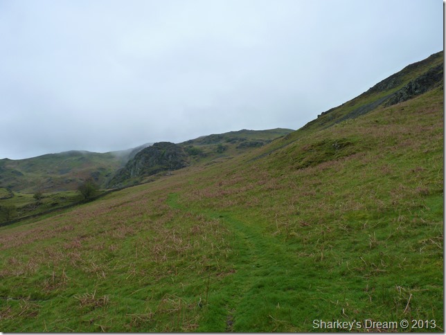
Taking on the Nickles (my ascent route onto Beda Fell)
It was clear so soon into the walk just how muggy the air felt, I thought maybe this might change the higher I got so until then I roll my jacket sleeves up & zip-down the vents in my walking trousers. |
 |
| |
Here looking back on Martindale with Hallin Fell summit under the low cloud. Martindale Old Church can be seen at the bottom of the picture on the right hand side. |
 |
| |
On the ridge now looking down onto the opposite side of Beda Fell north Ridge, here looking down on the Boredale Valley with Winter Crag at the northern end of the ridge. |
 |
| |
Taking on the ridge with sleeves rolled up, it looks as though I am about to lose the… |
 |
| |
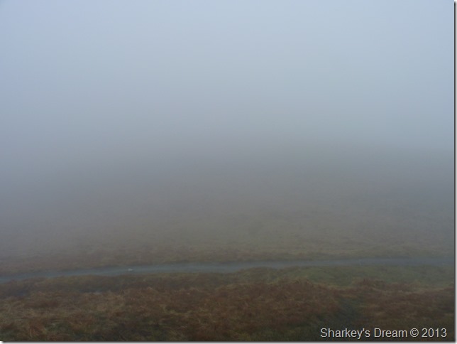
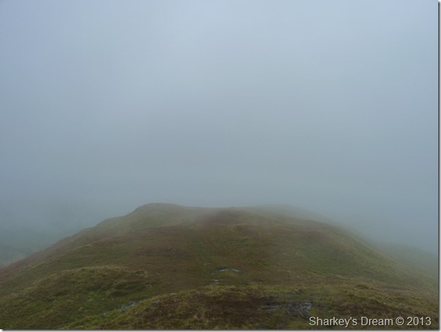
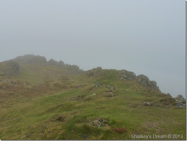
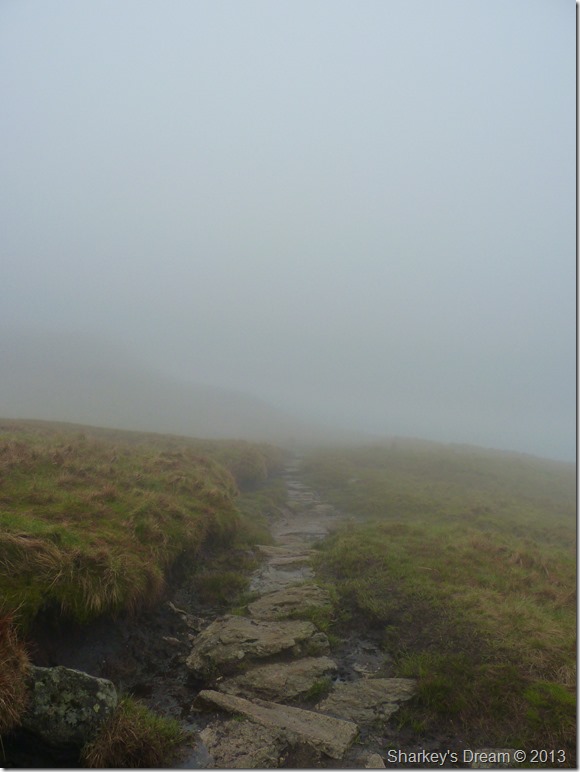
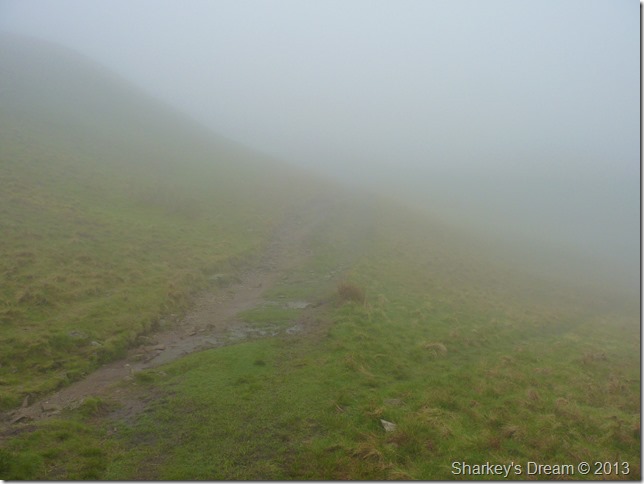
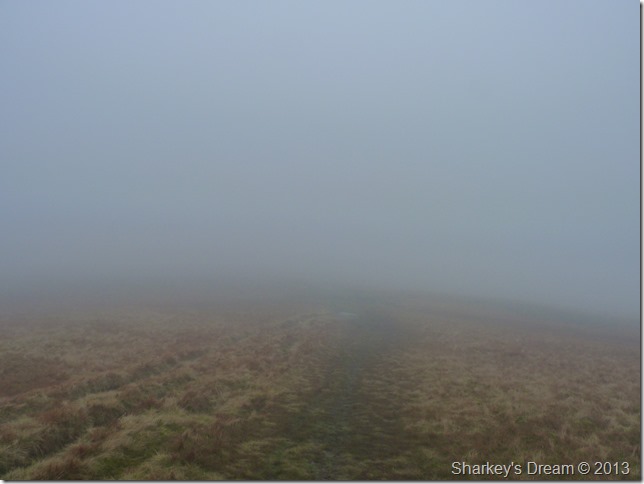
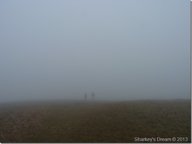
Views.
With visibility no less than fifty yards I am about to get a lesson yet again in relying on senses rather than sight. |
 |
| |
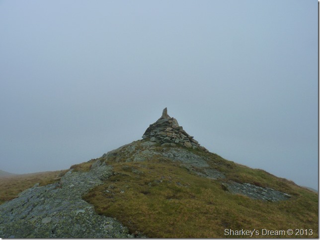
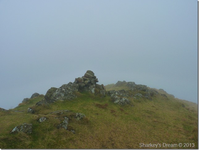
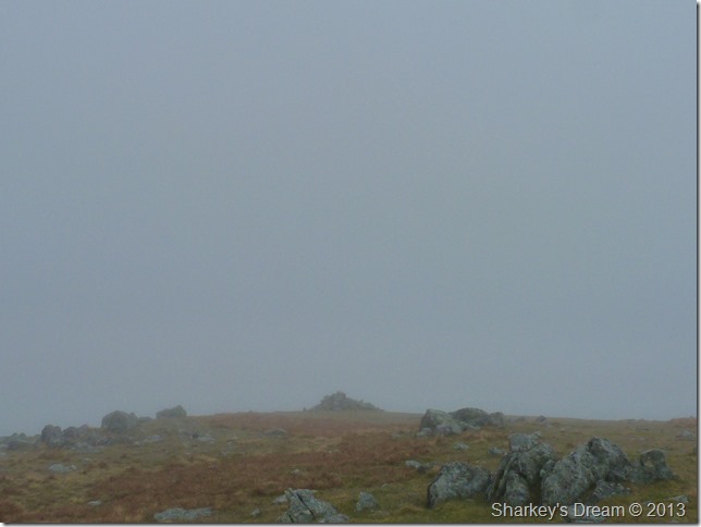
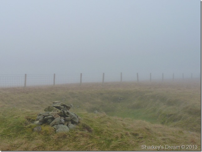
One of two cairns found along the ridge, sadly this one is not the summit… that’s the third one & a wee climb away yet.
Don’t ask me what happened to the first cairn, I must have walked clean by it. |
 |
| |
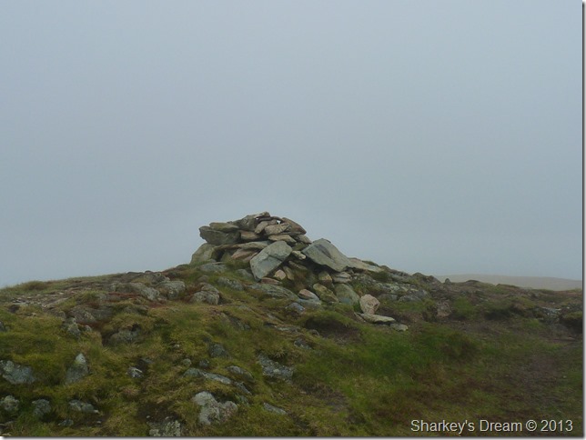
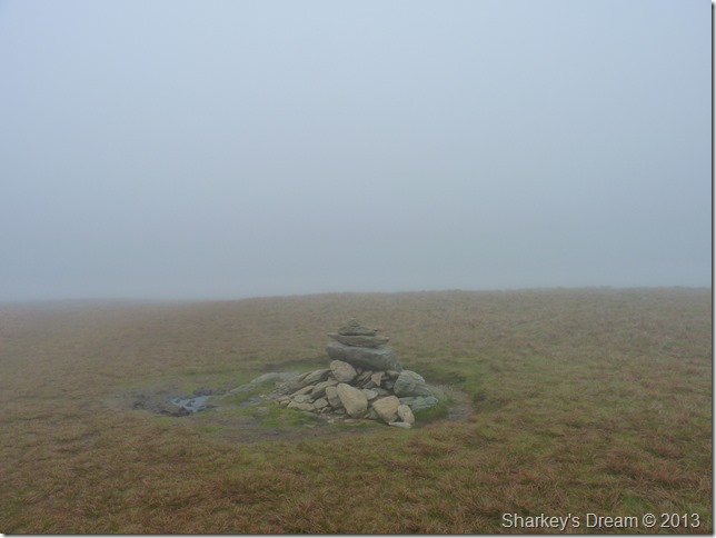
Looking less substantial than its counterparts, Beda Fell summit cairn. |
 |
| |
Back off into the cloud I go.
It may not look it but I was having a whale of a time here, yes I admit I do not have the views, but what it lacked in views made up in just how atmospheric & moody this walk was turning out to be…just like the author of this here blog.
Grumpy guts. |
 |
| |
Beda Fell Knotts appears through the cloud.
It was important to navigate south along the ridge to take on my next summit of Angletarn Pikes, in doing this after the small ascent of Beda Fell Knott I had to keep left & navigate the rim of Beck Head. Heading right after Beda Fell Knott will take you towards Boredale Hause.
Both routes will lead you to Angletarn but this route was on my agenda, it’s not a route I would consider the inexperienced walker to tackle in conditions as I had today, it’s not so much the danger although it isn’t to be ruled out, more so, on just how there is nothing to take a fix on & just how all your surroundings look the same. |
 |
| |
Angletarn Pikes north (main) summit cairn.
Well, it was bound to happen as I seamlessly continue along a grassy path & neon miss the Pikes through the mist, here I had to back-track a little over pathless bog…even the experienced get bitten on the arse…or that might be just me!
Angletarn sister peak lies not twenty yards due south…but I cant see it, even so I make the small trek over. |
 |
| |
Angletarn south summit cairn.
I wonder why the south cairn looks more summity than than the north cairn? yes you’ve guessed it, sadly no one visits the south cairn as much as the north. |
 |
| |
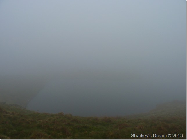
Angle Tarn.
Angle Tarn is my favourite Lakeland Tarn of them all because Angle Tarn was my first ever walk up a Lakeland Fell (regular readers I apologise for continuingly repeating myself) way back in 1997, today I cannot see the reason which turned me into the fell walker I am today & that made me a little sad.
To take my mind off things I listen to the squabbling geese fighting it out somewhere out there… If my mum was alive I mutter…she’d bang yer bloody heads together |
 |
| |
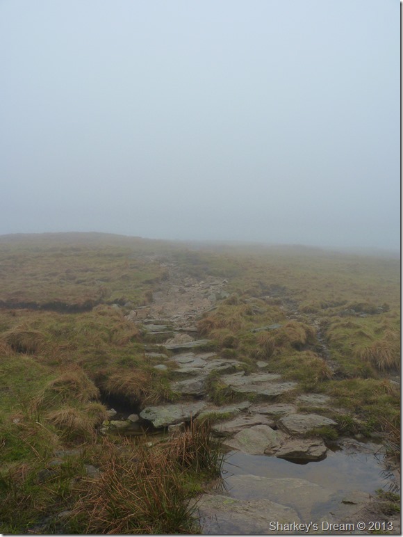
Navigating Angle Tarn via the stepping stone like path.
It’s Brock Crags next & what is fast becoming the norm…I cant see it. |
 |
| |
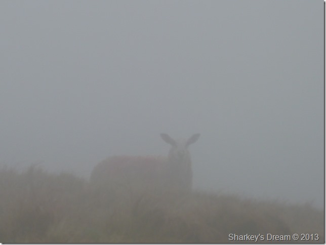
Morning ears.
Yes I’m thinking the same too my friend. |
 |
| |
Leaving the path for Brock Crags.
I know to wait until I come across the small cairn indicating the narrow grassy path that leads you Brock Crags bound…but the cairn is nowhere to be seen which is just as well I spotted the turn through the mist. |
 |
| |
Brock Crags summit cairn.
It has been over four years since I was last here which in actual fact made this ascent feel fresh & new, if only I had the views.
I can hear the faintest of traffic traveling along the Kirkstone Pass, it is a slight comfort, more so are the voices I can hear coming from across Angle Tarn, I hear laughter & people talking.
I’m either going to miss them or they are going to miss me by the time I get back on the main path |
 |
| |
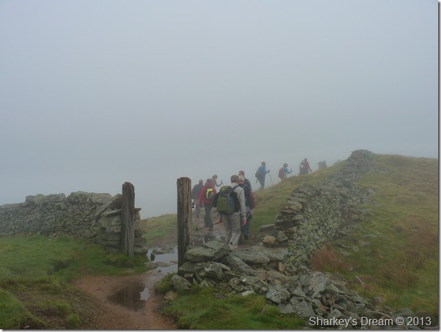
Satura Crag, And I don’t think I’ve missed them.
This was just a small section of the party of walkers walking the C2C, behind this group was another & ahead of it yet another.
I make my way through the pack passing on my mornings, as I get to the front I am met by a boisterous walker who by rights was keeping the rest of his group in tow…let him pass he laughs, he doesn’t want to get caught in the riff-raff!! members of the group laugh as do I politely, he’s been there done that he goes on… I again laugh slightly as I try to make some headway between me & the group.
This was tiring! |
 |
| |
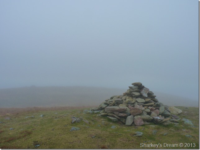
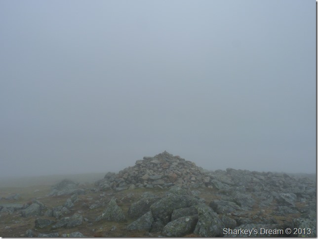
Rest Dodd summit cairn.
I am met by a fellow solo walker, he is from Leeds & looks as fit as a fiddle, from where he appeared I do not know as he gained some advantage on me from nowhere, we chat briefly on the low cloud but more so on just how muggy it was, I ask him does he not walk more in the Dales rather than the Lakes? I love the Dales but I prefer the Lake District he answered, I just cant get here enough he says, by now I am tucking into a breakfast bar as he wishes me a good walk before walking off into the mist, nice chap I thought. |
 |
| |
Talking on The Knott.
It was whilst on the ascent did I have to de-layer, by now I had coped with what felt like ‘lack of air’ but my body, more so my head & the banging within it was struggling.
There are three walkers behind me who at first I thought were walking together, it later turned out they were strangers also struggling to cope with the mugginess in the air…as I de-layer one of the walkers passes me his head & torso covered in sweat…I get one glance why am I here but fair do’s to the guy…he carry’s on regardless. |
 |
| |
The Knott summit cairn.
More walkers are on their way up & High Street bound, non of them follow me to The Knott Summit.
As I make my way back down the path I spot more & more walkers, I wait for a break in the line & head east over a pathless ascent on my next summit of Rampsgill Head. |
 |
| |
Rampsgill Head summit appears through the cloud.
It was now time to roll down the sleeves as a cool breeze had got up, this was as far as I got to the main summit cairn without a passing glance…was the lack of views now starting to take its toll on me I wonder? |
 |
| |
Regardless I press on with a sandwich in hand, I make for my seventh summit of the day, High Raise. |
 |
| |
High Raise summit cairn.
The thought of the cloud shifting before my walk is set to be over fades, I tell myself that I’m in it for the duration, I try to make the best out of a bad situation & I think I cope with this well…
Walking in cloud sets the senses alive & this has always given me a buzz. |
 |
| |
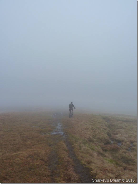
In search of Red Crag.
I was set to leave the main path in search of Red Crag, a summit I had yet to find not through want of trying, Red Crag is a Birkett & right now I’m in no hurry to complete this summit, I guess the only reason I am trying again today is because it beat me the last time I was here.
You could try in better circumstances one mutters.
Just as I make the decision to leave the path I turn around & spot this guy on his mountain bike, he gets off his bike…is the path any better than the one by the wall he asked? I have to think about this one a while, Its not mate, its a lot less obvious, in essence I think (possibly) he just wanted to see a friendly face, it worked on both accounts. |
 |
| |
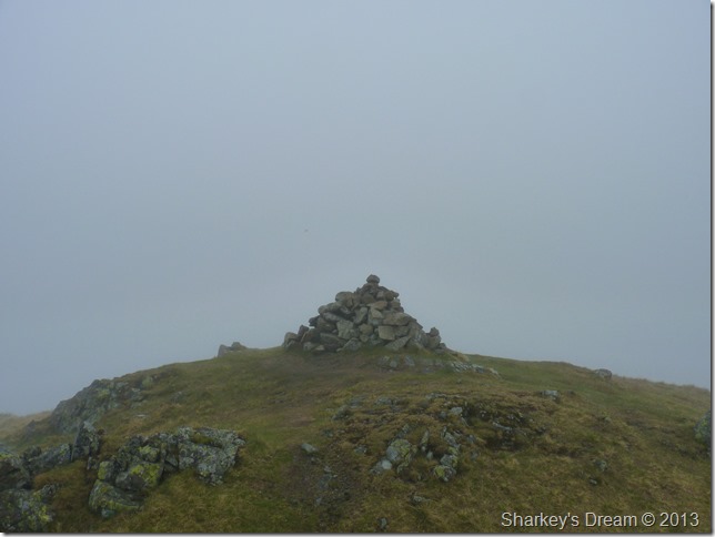
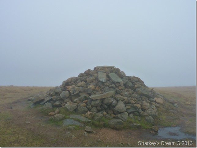
Red Crag summit cairn.
Possibly thee best summit of the day for me, you cant beat that feeling especially under the circumstances. |
 |
| |
Wether Hill summit cairn.
The traverse after leaving Red Crag to Wether Hill was possibly the most difficult to navigate throughout the whole of the walk, here I lose the path on more than one occasion back tracking a few steps to meet back on the path, I deem I have a good eye for a faint path but here the cloud was winning.
Before I summit Wether How I spy two walkers off the path, I try to catch their eye but they weren’t looking in my direction so I carry on presuming that they are ok, with my next glance they are walking over to me hurriedly saying excuse me, excuse me, it is a guy with his daughter looking for Wether How summit…Is it that way? or is it that way? (pointing west to east)
The guy is from Huddersfield & talks with a posh accent, I have to question why he is here in the first place as he is only carrying a Wainwright guide using it word for word…it says here…let me stop you there, the summit is this way I explain, you can walk with me its only a few yards (this explaining just how dense the cloud is)
He thanks me & proceeds to walk to the north summit as this is considered to be the true summit or so the guide says.
For me it’s time to leave the ridge & head down, my route is pathless & testing on the knees. |
 |
| |
| |
 |
| |
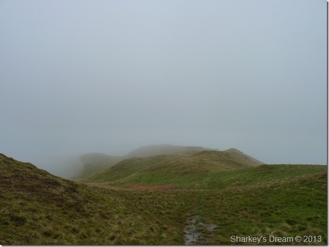
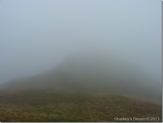
Steel Knotts ridge, a welcome sight & the first I have seen in six hours. |
 |
| |
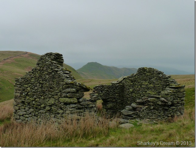
Steel Knotts from the old ruined hut.
I’m on my last summit of the day & out of the cloud, for this I am thankful but I can feel rain in the air. |
 |
| |
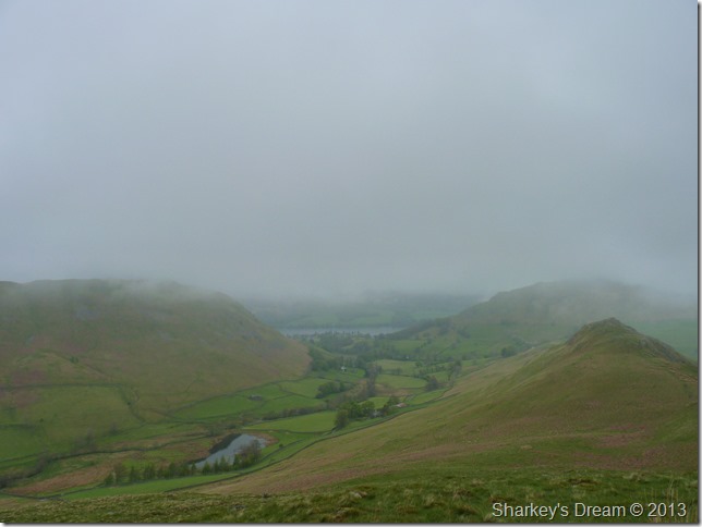
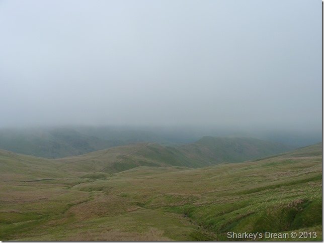
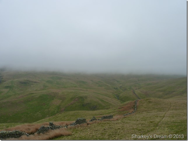
Looking back on the low cloud that has dominated my day along with Wether Hill & my descent via Groove Gill. |
 |
| |
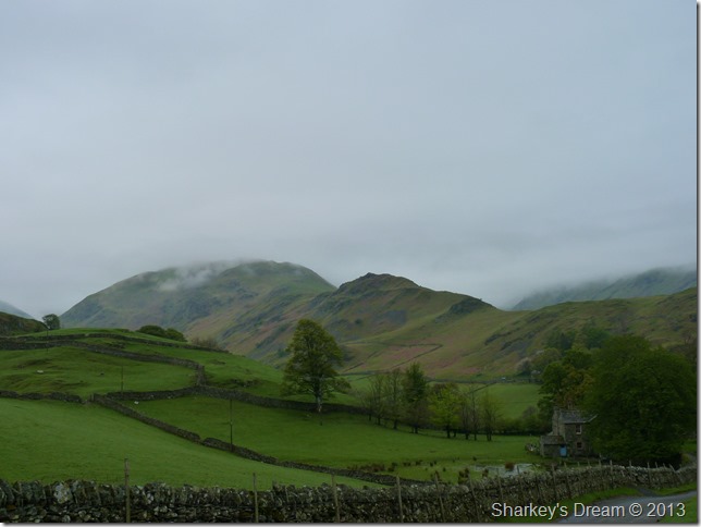
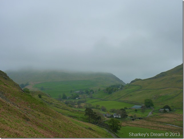
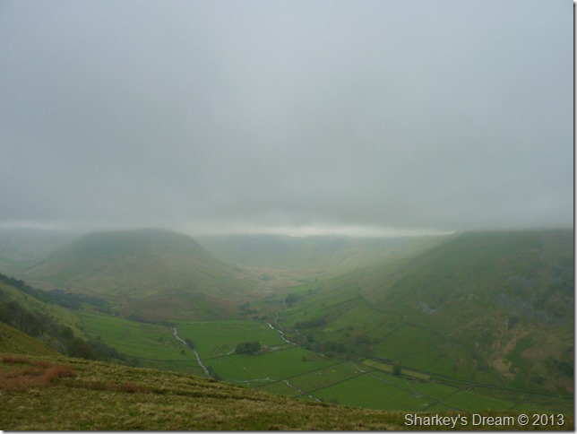
Rampsgill on the left & Bannerdale on the right, separated by the dominance of The Nabb.
It was time to make my final ascent of the day |
 |
| |
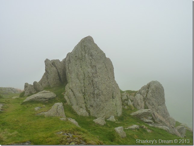
Steel Knotts (Pikeawassa)
The Rock Tor, Lakelands sharpest summit A.W
A band of rain was approaching from the north as I felt it start to hit me, this was Lakeland telling me she wasn’t finished with me just yet. |
 |
| |
Martindale New Church.
Back at Martindale New Church as the sun came out. |
 |
| |
The Western Belle as it leaves Howtown jetty. |
|
| |
| Back to top |
 |
|