|
High Street via Rough Crag |
 |
 |
3rd August 2013 |
 |
|
After missing a week on the fells last weekend dare I say I was more than ready for my boots to hit fellside once again, of course, I was at the mercy of the great British summer… a dry day was all I would ask for.
My planned walk was to have a wander through Great Moss within the bowels of Eskdale, a place I have yet to venture. The dry period of course had to come to an end this timely coinciding with the weeks holiday I had planned, all is not lost & not to worry I tell myself because considering the busy week I have had, I will walk in almost all weathers…
The Great Moss will have to wait I guess.
My plan B should the weather turn was High Street, my comfort blanket of them all.
I have a great sentimental attachment to High Street & Indeed Mardale, this being as High Street from Mardale was the first true mountain I climbed, it’s just such a pity I never gave the ascent from Mardale & Rough Crag the attention they so solemnly deserve.
All that was to change. |
|
Wainwright Guidebook |
 |
| The Far Eastern Fells |
-High Street:
A striking range in grandeur and wilderness
The range forms across the eastern spirit of Lakeland, providing a splendid full days march at a consistently high altitude, but is, distant to the areas most favoured by the fell walker and is comparatively unfrequented, appealing mainly to the lovers of mountain solitude. |
 |
|
| |
|
Overview |
|
|
| Ascent: |
2,637 Feet, 758 Meters |
| Wainwrights: |
3, High Street – Rampsgill Head – Kidsty Pike |
| Weather: |
Sunny & Overcast, 20/30mph Winds, Cold Above Summits, Highs Of 16°C Lows Of 16°C |
| Parking: |
Car Park, Mardale Head, Haweswater |
| Area: |
Far Eastern |
| Miles: |
7.9 |
| Walking With: |
On my own |
| Ordnance Survey: |
OL5 |
| Time Taken: |
4 hrs |
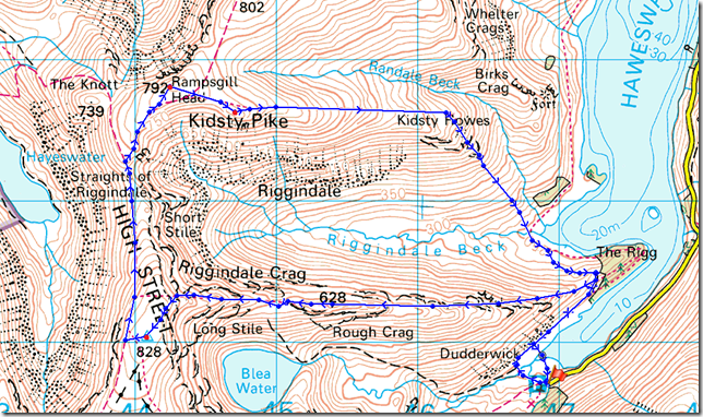
| Route: |
Mardale Head – The Rigg – Rough Crag – Caspelgate Tarn – Long Stile – High Street – Straights of Riggindale – Rampsgill Head – Kidsty Pike – Kidsty Howes – The Rigg – Mardale Old Road – Mardale Head |
|
| |
|
Map and Photo Gallery |
|
|
 |
| |
| |
 |
| |
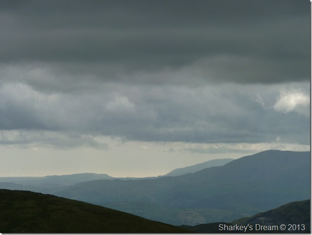
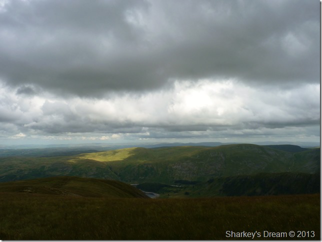
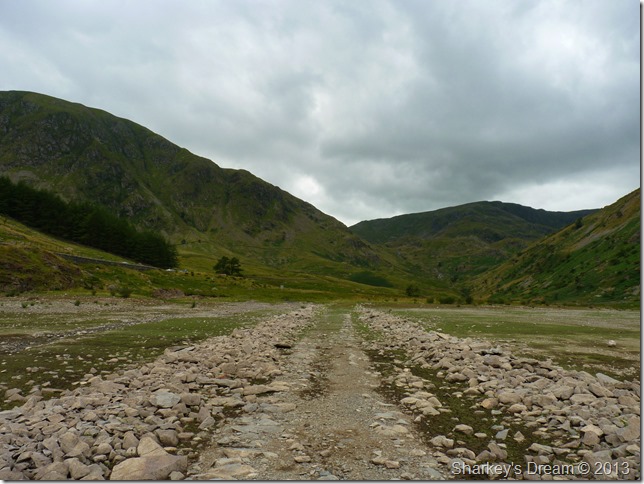
13:22 16°C The Rigg, Haweswater, High Street, Kidsty Pike & Riggindale from Mardale Road.
I am yet again at the mercy of a late arrival owing to the fact that I had to work a morning shift, the motorway was flowing but nothing like I’m used to at 05:30 in the morning.
This afternoon, rather than change into my work clothes at the car park at Mardale Head, I had the brainwave to pull over, the reason being that said car park will be heaving with walkers & badly parked cars, I just didn’t quite fancy nor have the confidence to get the belly out & change into my walking gear in front of a baiting crowd.
I change from shirt & trousers in a layby situated just past the Haweswater Hotel all of which is done in record time, less than a minute in my estimate.
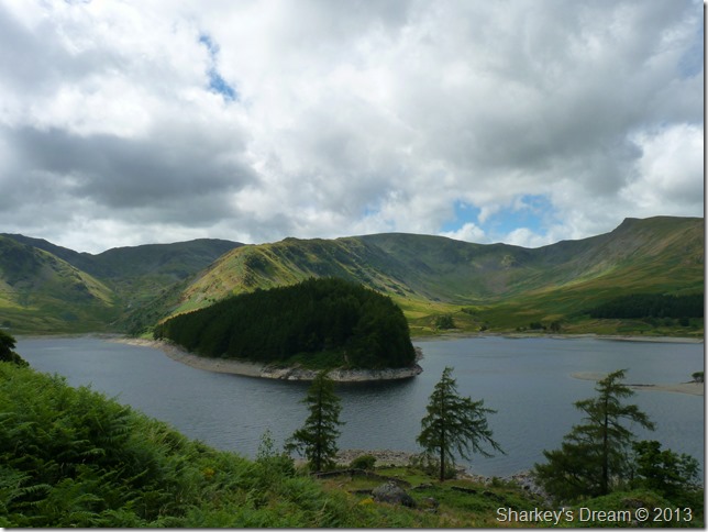
As I drove along Mardale Road towards the Mardale Head I notice an unusual sight in that Haweswater-water line is low, the lowest I have ever seen in fact… with this I get that butterfly thing you get once presented by something exciting you are about to witness.
As I said, Mardale is a special place to me. |
 |
| |
A glimpse of the past from Mardale Head.
Traces of two stone walls as they disappear beneath the waves of Haweswater. These two stone walls are indeed the remains of Mardale Old Road from the time before Manchester Corporation flooded what was then, Mardale Green. Back then the two natural lakes of High & Low Water only separated by what was known as “The Straights” which separated both lakes.
Within the valley of High & Low Water lay Mardale Green, a faming community that once hosted the likes of the infamous Mardale Hunt & the Dun Bull Hotel.
All this sadly disappeared when Manchester Cooperation secured the dam project which would flood the valley back in 1919.
A ground breaking project in itself would see the first hollow dam constructed in the world, all good news for the north west of England who’s drinking water was provided for, not so good if your a Mardale resident alive or indeed dead, due to the fact that all corpses buried at the Holy Trinity Church had to be exhumed & reburied in Shap some miles away. |
 |
| |
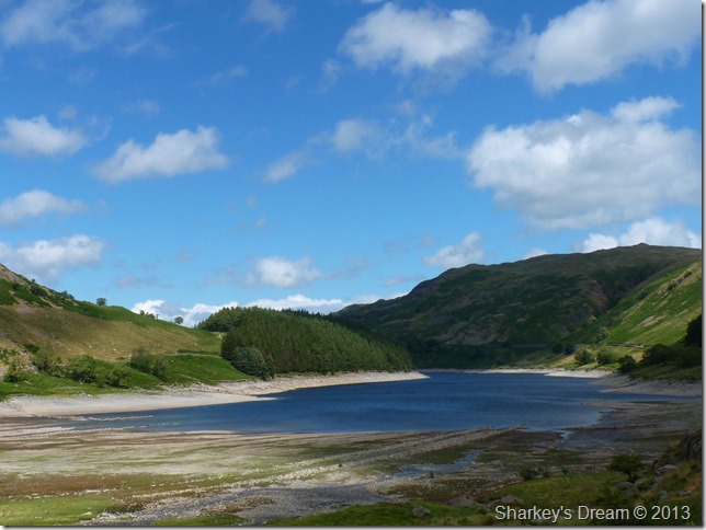
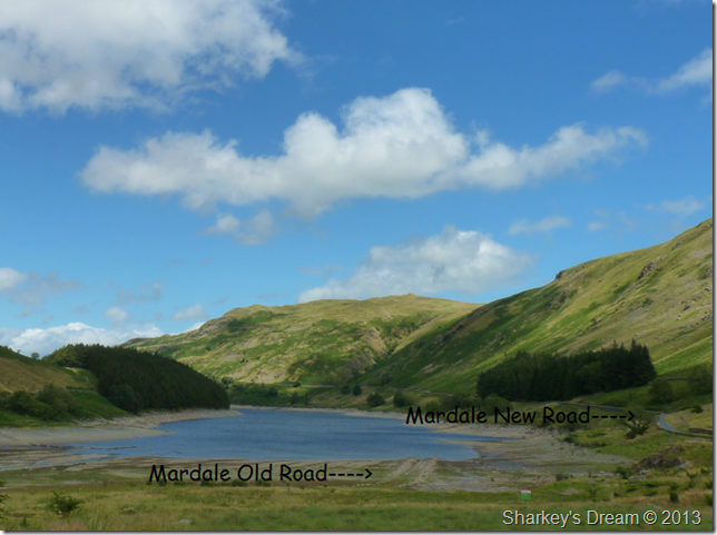
Passing by the most southern tip of Haweswater where both the old & new roads can be seen. |
 |
| |
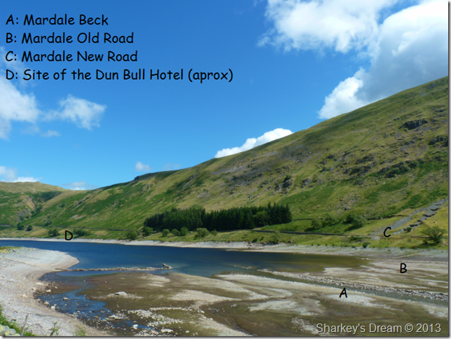
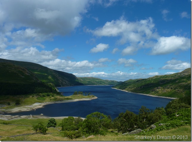
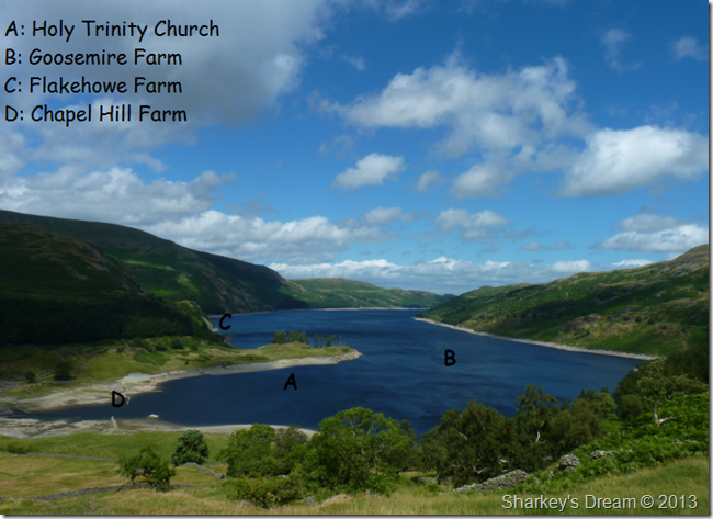
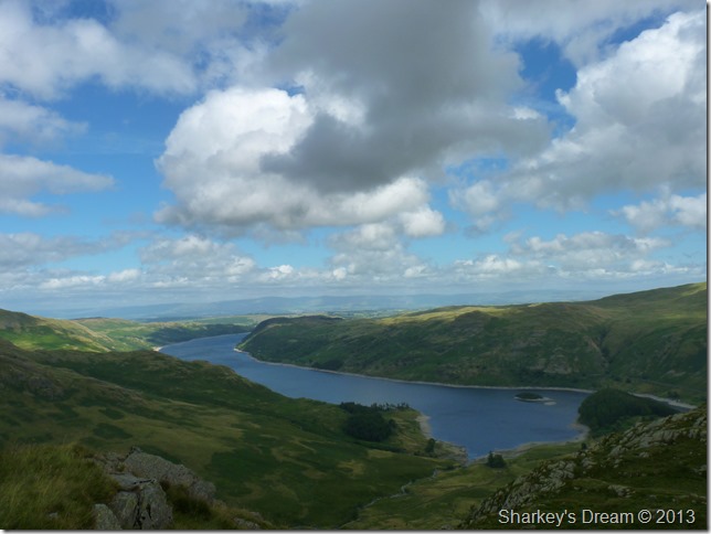
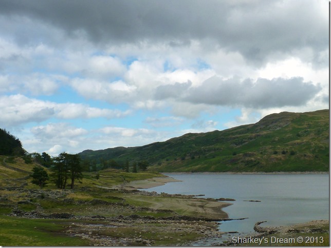
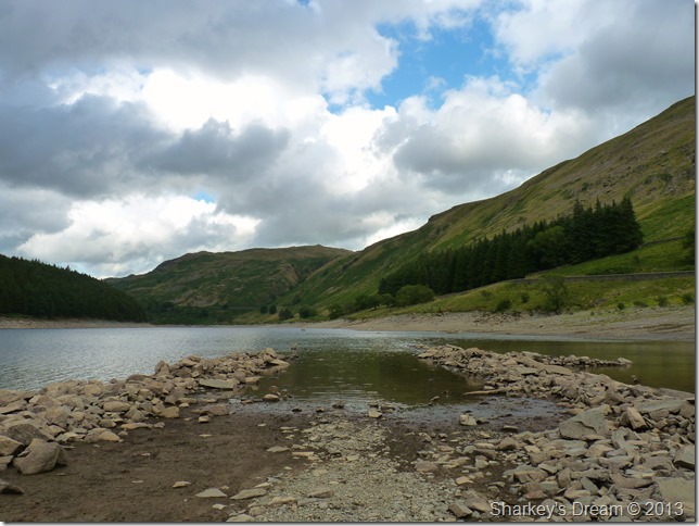
Receding Haweswater after a dry spell.
Here you can see the southern tip of what we now know as the Haweswater Reservoir. Back during the early twenties this whole place was a thriving community complete with meeting place, The Dun Bull Hotel, here weary Shepherd’s, huntsman & even the local football team “Haweswater United” resided here after day on or off the fells.
“A” is shown as Mardale Beck which can be seen flowing between two more stone walls as it would then, snake through what was Mardale Green.
“B” Is a distant shot of Mardale Old Road.
“C” Is Mardale New Road or the road as we know it today.
“D” Is the approximate location of the Dun Bull Hotel situated to the left of Mardale Old Road. |
 |
| |
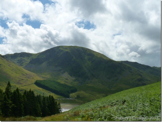
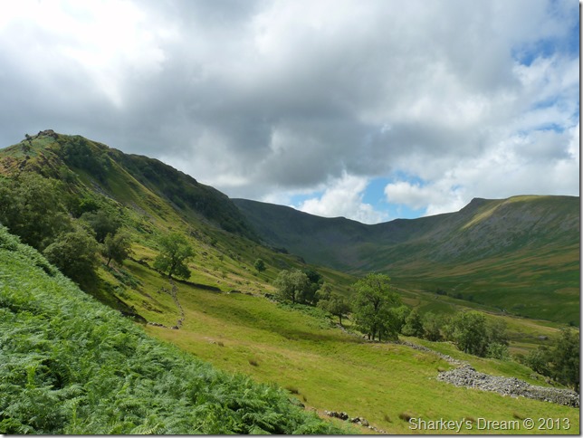
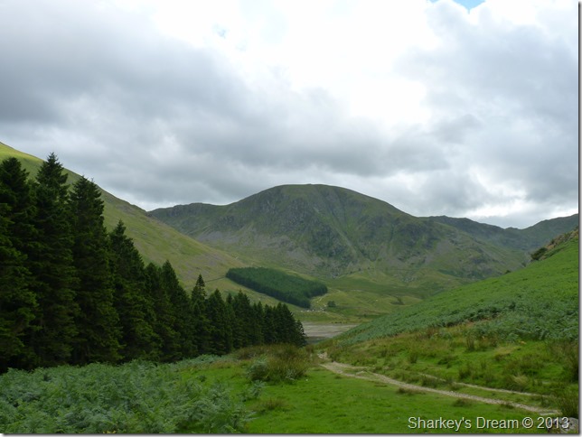
Harter Fell (Mardale) together with Mardale Head as I gain The Rigg.
The afternoon is heating up but besides this, blows a gustily cool wind which counteracts perfectly against the mid afternoon sun.
It’s time to gain some ground. |
 |
| |
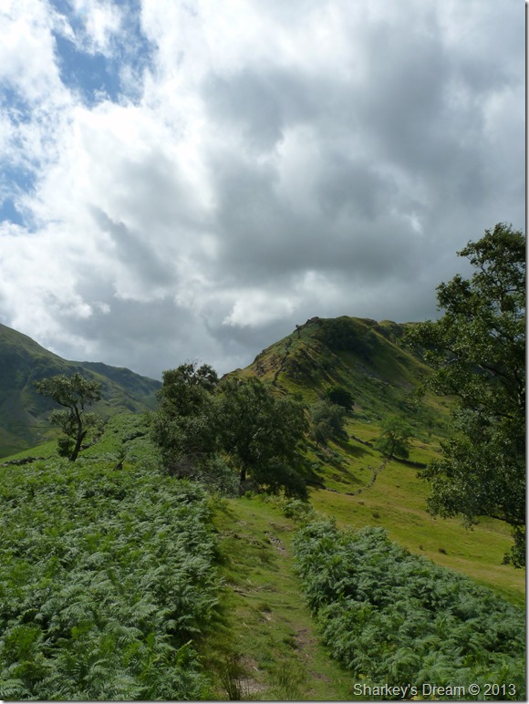
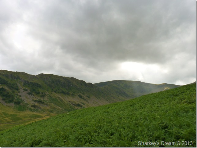
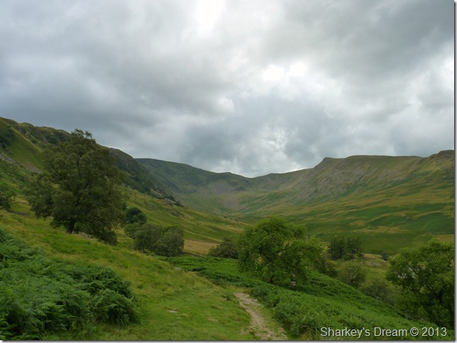
Swine Crag lies ahead. |
 |
| |
While my tour of Riggindale dominates my right flanks. |
 |
| |
Haweswater & Speaking Crag from the start of my ascent.
Should it be the early 1920’s here’s what you would have potentially seen. |
 |
| |
All of which lie just a couple of metres under the water when the reservoir is full. |
 |
| |
Mardale Head from a little higher up.
In this photo Mardale Beck is more apparent while the Old Road is just visible towards the centre of the photo with the New Road rising above, while the Gatescarth Pass can be seen twisting its way out of the picture top right. |
 |
| |
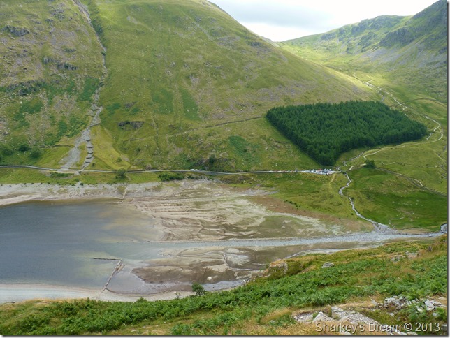
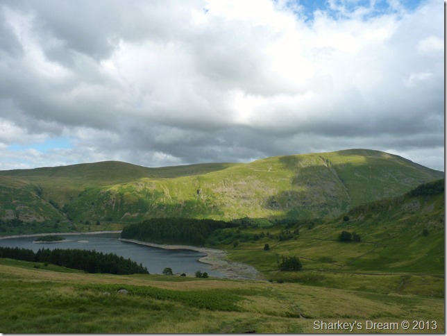
I had lost quite a bit of light by the time I had passed Swine & Heron Crag, here looking oddly enough towards a rather full looking Small Water & Mardale Beck. |
 |
| |
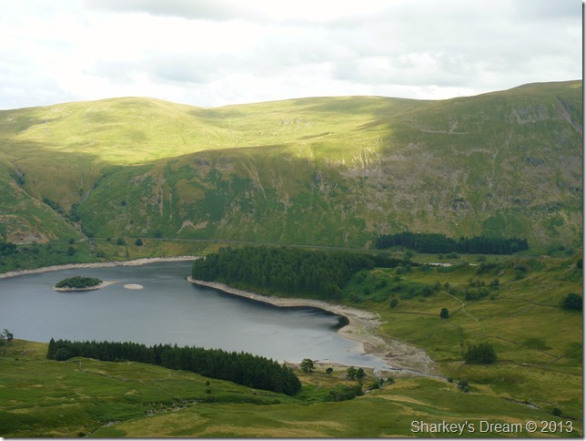
Haweswater & Swindale Common from Heron Crag. |
 |
| |
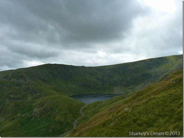
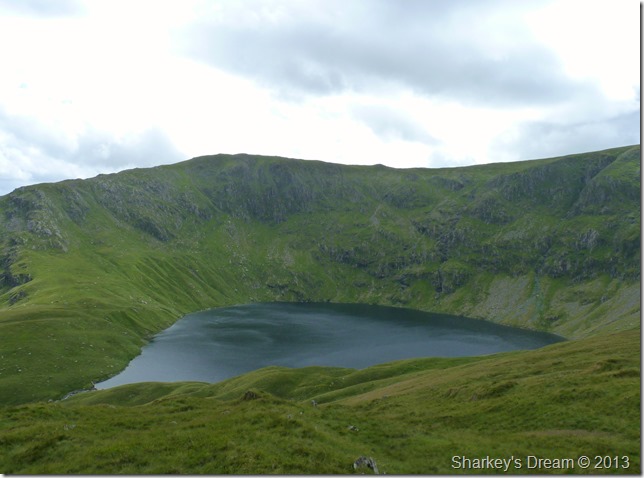
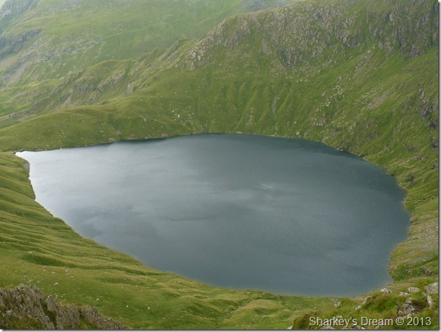
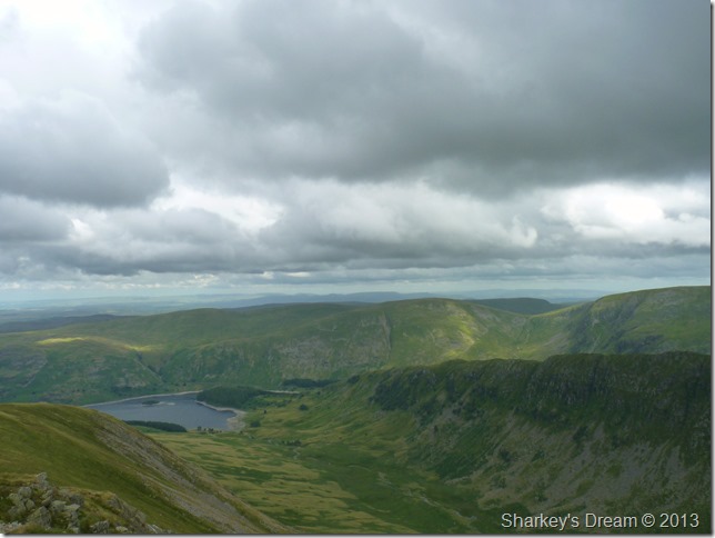
The perfect corrie together with the deepest of all the Lakeland Tarns, Blea Water at 207ft Deep. |
 |
| |
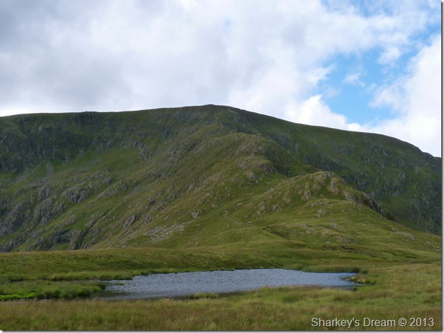
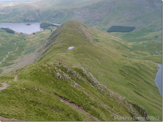
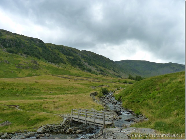
Long Stile & Caspelgate Tarn after leaving the summit of Rough Crag.
The wind blew colder & stronger as I gained each section of the ridge, for the moment I could put up with the cold as it bit at my exposed skin, but I knew it wouldn’t be long before I reached for the jacket which was tied in under the lid of my pack. |
 |
| |
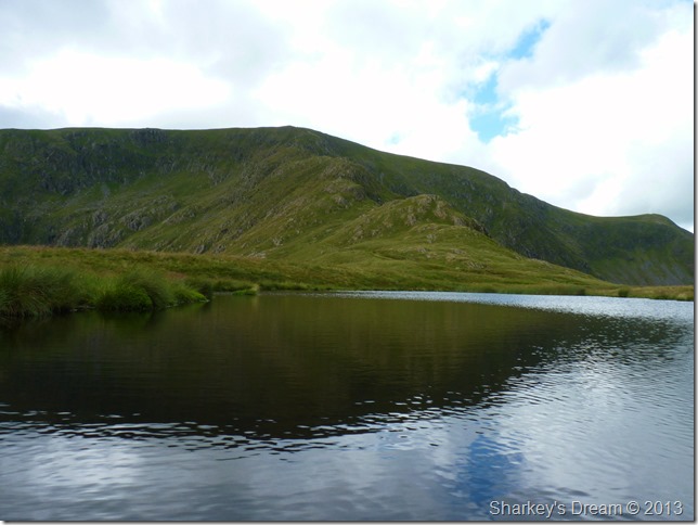
Long Stile from Caspelgate Tarn.
I opt for a walk around the tarn, here I didn’t expect to see nothing more than a dried up bed of mud when in fact the area was quite boggy & care had to be taken I didn’t end up to my ankles in bog water. |
 |
| |
Long Stile from a calm looking Caspelgate Tarn. |
 |
| |
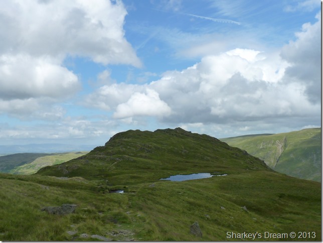
Here, looking back on Rough Crag & Caspelgate Tarn before I start my ascent on Long Stile. |
 |
| |
Blea Water from above.
More menacing than Red Tarn (Helvellyn) but will always look like a Pear Drop to me! |
 |
| |
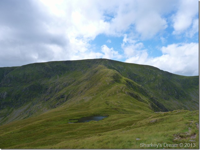
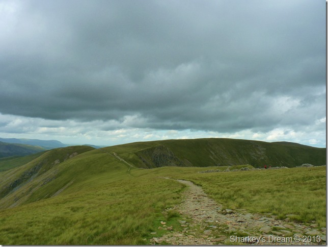
Looking back on ground covered as I near the top of High Stile.
I was near the summit & a decision had to be made, or in fact the wind had made it for me, as my exposed skin yearned for the comfort of my Montane soft shell jacket, it was like ten more minutes under the duvet the moment I slipped that jacket on…aahhh.
Man up! |
 |
| |
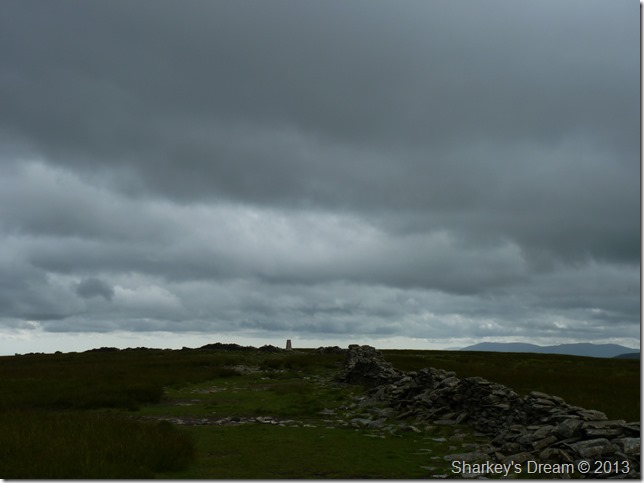
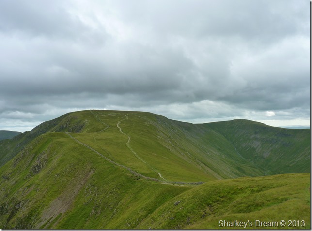
High Street trig point looms.
Instead of following the grassy path from the top of High Stile I head straight for the stone wall that lines the summit plateau, this I deem to be the best route & vantage to gain the summit of High Street. |
 |
| |
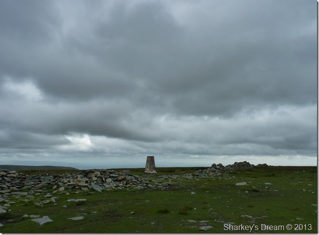
Clouds layer as I reach High Street’s summit trig point.
I was surprised that I had the whole summit to myself, not that I was complaining mind you. Here I take a photo from my favourite spot as with all most of my older photos through the years you tend to know where to stand & always return to what you deem the best photo spot, this is mine.
The wind grew in strength & with this came a bitter cold that bit at my exposed hands, here I billow warm breath into cupped hands at the same time clenching fist, it’s been a while since my hands felt this cold & to be honest, I’d missed that feeling. |
 |
| |
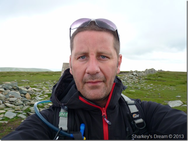
I’m not too sure what this photo is all about, but, I just thought I’d show you what approaching middle-age can do to a man by demonstrating how I virtually cut off all my hair off a few weeks ago and started to grow it around my chin instead.
If you like the colour grey, you might like this next photo. |
 |
| |
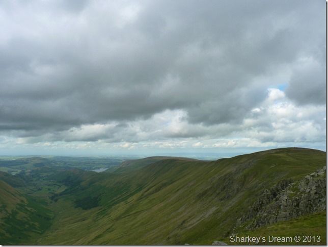
Here looking south east over the top of Thorthwaite Crag, Snarker Pike & towards the Central Fells. |
 |
| |
The Knott & The Straights of Riggindale as I descend High Street.
I’m still clutching fist as I make my slight descent for the straights of Riggindale. I figure again I’d have the place to myself but I was wrong when out of no-where two walkers appear over on my right, they head for the top of Short Stile to take some photos as we meet up where both paths seen converge to just one, it was more of a simple wave & a smile & before I was on my way making for Rampsgill Head, they however went onto descend towards The Knott & Angletarn Pikes bound, I only know this because I watched them from the summit top of Rampsgill Head.
Nosey bugger. |
 |
| |
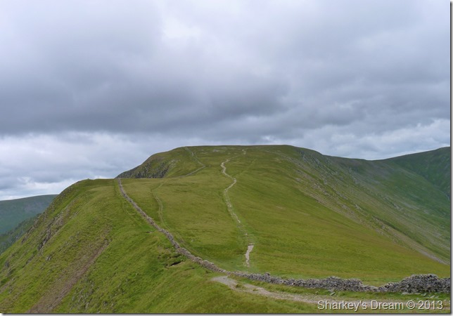
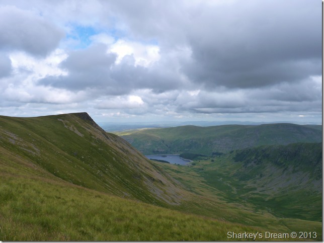
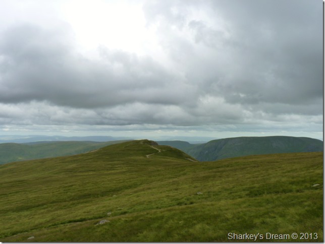
High Street as I make my flank on Two Penny Crag.
Some folk may go for the approach as I have today to gain High Streets summit, it is indeed the grandeur attempt, but, this I consider to be my all time favourite view of High Street seen from Two Penny Crag.
Does that make sense? |
 |
| |
From Two Penny Crag you also get this marvellous view along the whole High Street ridge & down into the Riggindale Valley. |
 |
| |
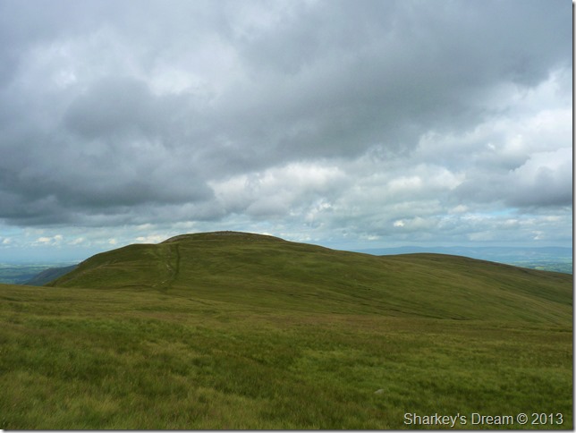
Here again looking back on High Street, this time together with Thornthwaite Crag seen (R) |
 |
| |
Kidsty Pike & Riggindale.
Kidsty Pike is my final summit but first I had to make the short grassy excursion across to Rampsgill Head, from the Straights of Riggindale Kidsty Pike is one of thee most dramatic looking summits in the whole of the district.
Should you find yourself north bound on the M6 between Junction 38-39 look left out of the window on a clear day you will see a distant silhouette very similar to the one here… |
 |
| |
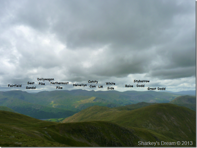
The views were hazy at times so here I took the time to list the fells rather than to write them underneath as I usually do, this also giving me great perspective as to what to expect when I walk the fells listed with the exception of Fairfield/Seat Sandal & more hopefully during the middle of this month.
Footnote
Although Watson’s Dodd lies in between Stybarrow Dodd & Great Dodd – its summit cannot be seen in the photo due to its summit standing further east along the edge of the ridge, this also applies to Clough Head standing further north all of which will be in my days itinerary. |
 |
| |
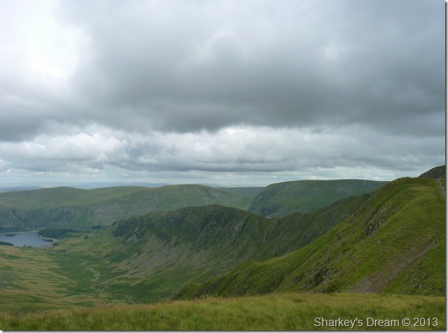
The Nab (L) divides the two valleys of Ramps Gill & Bannerdale seen on the other side of The Nab.
The right flank of Ramps Gill is occupied by Red Crag wile the Steel Knotts ridge winds its way to the end of the valley, it’s a little hazy but the end of the valley is closed off by Hallin Fell, it’s all a little ‘too green’ down there to distinguish what’s what! |
 |
| |
In this photo, High Raise (Martindale) comes into view.
It was now time to leave the summit & make my way to Kidsty Pike via a little less dramatic route |
 |
| |
Kidsty Pike lies ahead.
There are many worn paths that cross between Rampsgill Head & High Raise, for one reason or another I choose to ignore them & make an ‘as the crow flies’ gain on Kidsty Pike. |
 |
| |
High Raise (Martindale) & Low Raise.
Both of which are a great alternative to make your way back down to Haweswater, I can wholly recommend descent via Low Raise with its impressive ancient summit cairn. |
 |
| |
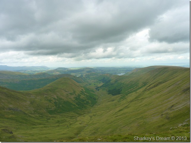
The High Street Ridge, Riggindale & The Rigg seen from Kidsty Pike summit.
After taking a few shots while perched at the summit I can’t help but tell myself just how good these last few hours have been, I like to think that I am a people person which is probably why I crave the me time the fells provide for me.
It’s not very often I carry the same feeling throughout the whole of a walk, the climbs can hurt & the weather can get at you, but in this route in my favourite part of the district & on one of my favourite summits I have carried that smile about me throughout the whole journey. |
 |
| |
While descending towards Kidsty Howes the sun kinda crept back out, more sporadic than anything but lighting up the fells none the less, here it was Selside Pike that basked in its warmth no matter how brief. |
 |
| |
A close up of The Rigg & Haweswater as I descend Kidsty Howes.
Still…Selside Pike basque in the suns glory. |
 |
| |
This time not so close including Artle Crag & Branstree. |
 |
| |
Here, looking beyond the bracken towards the High Street Ridge as Riggindale catches beams of light…standing back on Kidsty Pike now would be a real treat I mutter. |
 |
| |
Crossing Riggindale Beck via Bowderthwaite Bridge. |
 |
| |
More once submerged ruins emerge, this time in the form of Chapel Hill Farm. |
 |
| |
Kidsty Pike domineers the valley of Riggindale as I now make my way towards The Rigg & the final leg of my walk. |
 |
| |
Harter Fell (Mardale) as I make my retreat back to the car park.
It suddenly dawned on me that in one way or another I should take advantage of the reservoir being low, I was almost certain that there is a stile situated along the path en-route back to Mardale Head, a stile that I had never used given the fact that even if the reservoir is full its going to be a pretty damp shortcut back to the car.
I find the stile & climb over, I make a quick rekey of the route I will follow, this would mean crossing Mardale Beck but other than that I deem the route safe as the ground is hard underfoot.
I feel like I’ve gone back in time. |
 |
| |
Mardale Old Road on foot.
This is the scenery that the folks of Mardale would have woken up to for hundreds of years, here looking towards Harter Fell & Mardale Ill Bell, with pastures on both sides of the stone wall, the thought of this once green hamlet lying under feet of water never occurred. |
 |
| |
The end of the road…
I have read with passionate affection about Mardale Green & its people, its hard to grasp that a village once stood here, after all, Manchester Corporation didn’t do a bad job of putting the place back together again because despite the ground beneath my feet…everything surrounding me is made by man.
No, I guess they did a grand job of the place.
I sit & remember the pages I have read & for a while it’s a little bit sad because again, in time the road & stone wall boundaries will again be under the waves of Haweswater Reservoir. Although it is not uncommon for the reservoir to reside after a prolonged period without rain, right now I feel the luckiest man alive, I’ve finally stood where the people I’ve read about stood.
Real people from a bygone period of time that you only normally get to read about. |
|
| |
| Back to top |
 |
|