|
Nethermost Pike to Clough Head |
 |
 |
5th October 2013 |
 |
|
Many weeks ago David & I arranged this linear walk to complete what is considered to be one of the best ridge routes amongst the higher fells in the District.
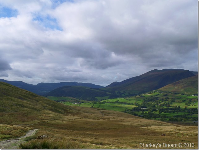
Our route would see us take in just under the 13 mile mark & topple a little over 4,000ft starting with two cars parked at each end of the ridge, one car in Wanthwaite (St Johns-in-the-Vale) & the other car depending on the walkers discretion, somewhere in-between Dunmail Raise & Wythburn would be the obvious choice.
We chose to park at Wythburn (or tried) a little more on that later…
For the more hardened walker this walk can also be started in Rydal to do ‘The Whole Helvellyn Ridge’ which would also see the walker take in Nab Scar, Great Rigg, Fairfield, Seat Sandal & Dollywagon Pike, all that before setting foot on either Nethermost Pike or Helvellyn, but don’t let the sound of that put you off, it can be done.
Let this put you off by starting at Brothers Water & take in Middle Dodd, Red Screes, Little Hart Crag, Dove Crag, Hart Crag & then Fairfield, it has been known for the hardened walker to then carry on his stroll & take on the full ridge from Fairfield.
Just thinking about it is exhausting enough.
Today we aren’t hard men, we have nothing to prove except for a mutual love of fell walking & the The Lakeland Fells. |
|
| Wainwright Guidebook |
 |
| The Eastern Fells |
- The Hellvellyn Range:
The altitude of these fells and the connecting ridges is constantly above 2,500 feet from Dollywagon Pike (2,810) to Great Dodd (2,807) except for the depression of Sticks Pass, which is slightly below. This is the greatest area of high fells in Lakeland and the traverse of the complete range from south to north (the better way) is a challenge to all active walkers. |
 |
|
|
| |
|
Overview |
|
|
| Ascent: |
4,400 Feet, 1,244 Meters |
| Wainwrights: |
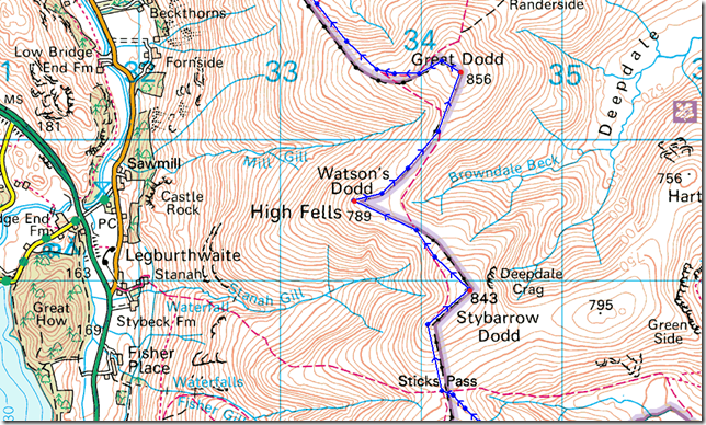
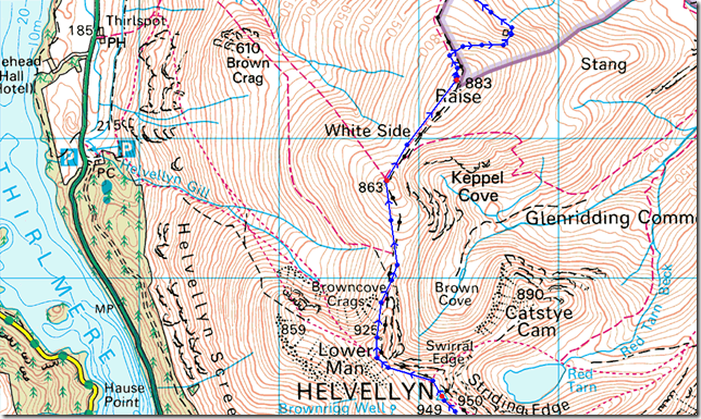
8 Nethermost Pike – Helvellyn – White Side – Raise – Stybarrow Dodd – Watson’s Dodd – Great Dodd – Clough Head |
| Weather: |
Overcast to Start With Mixed Sunshine Throughout The Day, Highs Of 15°C Lows Of 11°C Feels Like °8C Gust Up To 25 mph |
| Parking: |
Using x2 Cars: Parking Spaces,Wanthwaite / Wythburn, Thirlmere |
| Area: |
Eastern |
| Miles: |
13.4 |
| Walking With: |
David Hall |
| Ordnance Survey: |
OL5 |
| Time Taken: |
7 Hours 10 Minutes |
| Route: |
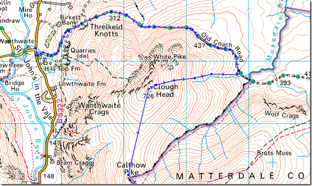
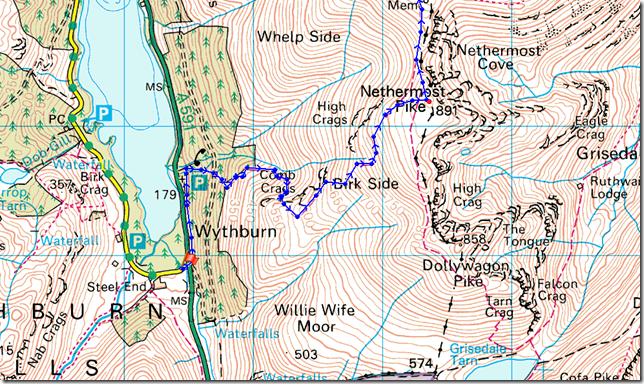
Wythburn – Comb Crags – Birk Side – Nethermost Pike - Helvellyn – Helvellyn Lower Man – White Side – Raise – Sticks Pass – Stybarrow Dodd – Watson’s Dodd – Great Dodd – Calfhow Pike – Clough Head – Mariel Bridge – Old Coach Road – Wanthwaite |
|
| |
|
Map and Photo Gallery |
|
|
 |
| |
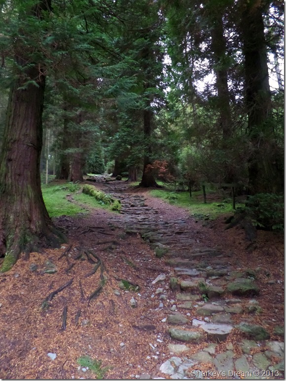
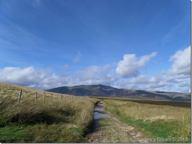
The forest track above Wythburn 8:13am 11°C
David was already at the agreed parking spaces just outside Wanthwaite when I arrived fifteen minutes early which in fact, put us in great stead for as now, we had to leave one car in Wanthwaite & drive the six & half miles to Wythburn in my car which was done in what felt like minutes as we caught up our recent walks.
The Car Park at Wythburn was as expected empty so early in the morning, one can’t ignore though the numerous ‘Thieves operate in this area’ and the ‘Have you locked your car’ signs nailed to almost every tree & board…a notorious spot for the light handed among us no doubt, the signs however, were the least of our worries.
As I walked over to the Pay & Display (after reading the re-mortgage fee to park here) I started to empty numerous pound coins in the machine only for the machine to throw them all back out at me.
Here try one of mine David says, its no use, not one pound coin, nor two pound coin is registering the machine just keeps rejecting them, as frustration increased & time ticked on David walked through the grounds of Wythburn Church to a small parking place in front which was already occupied by a car.
I’m not having it that the relevant authorities don’t know about this fiasco, as they lay in wait with their hefty fines & wheel clamps for the non payers.
Here David & I come up with a plan & decide to drive to the Steel End ‘side’ of Thirlmere, here David says you can get three good spaces at this time in the morning, it would mean a half a mile track back but, its £7 in our pockets & not the greedy authorities.
We soon picked up a damp forestry track back to Wythburn flanking the A591 and within no less that fifteen minutes we emerged back at Wythburn Church & the ticket machine that had caused us so much frustration. |
 |
| |
| After leaving the frustrations of Wythburn car park behind we passed through a gate & took on almost immediately the steep ascent over a great stone track through the forest, here the ground was damp as sunlight rarely breached beneath the pines. |
 |
| |
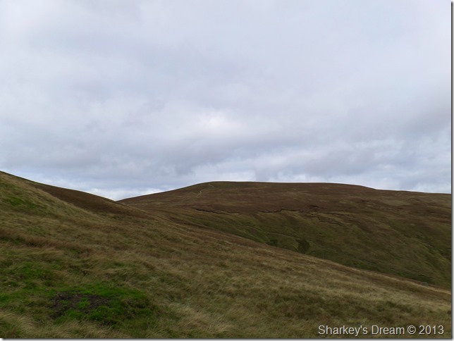
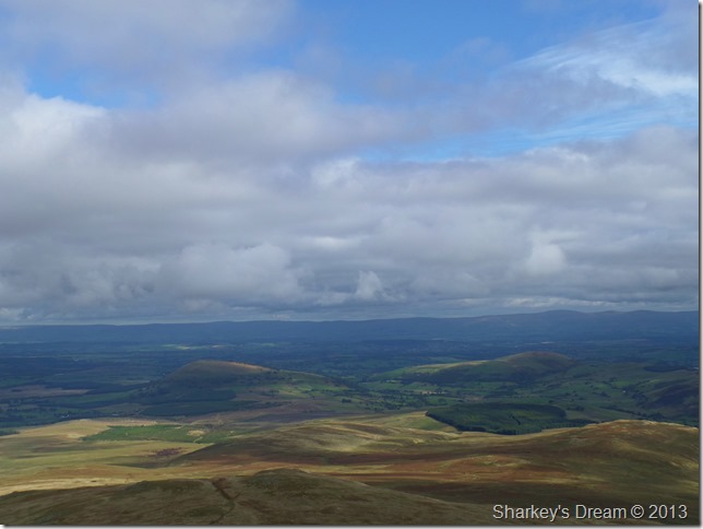
Looking back above Wythburn plantation as High Tove domineers the central ridge above Thirlmere. The initial steepness out of the climb was over for now at least as we took in the delights of Comb Gill & Comb Crags, the morning light was dull but looked to get better as the morning went on. It wasn’t quite clear if we were going to get any views at this early stage along the ridge, so far now it was a roll your sleeves up & see what progresses ascent. |
 |
| |
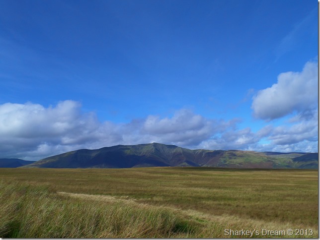
Thirlmere as Comb Crags was reached.
As we seemed to be walking much of our ascent in the shade it was a different story for the central & north western fells which were getting treated to the warmth of the early morning sun…still I suppose it kept the sweat of our backs. |
 |
| |
Steel Fell & the Wythburn fells from above Comb Crags.
The ascent took on the zig zags as we reached Birk Side, it was only after taking the photo did I realise the path took such a course as conversation was in good spirit. |
 |
| |
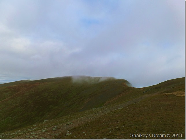
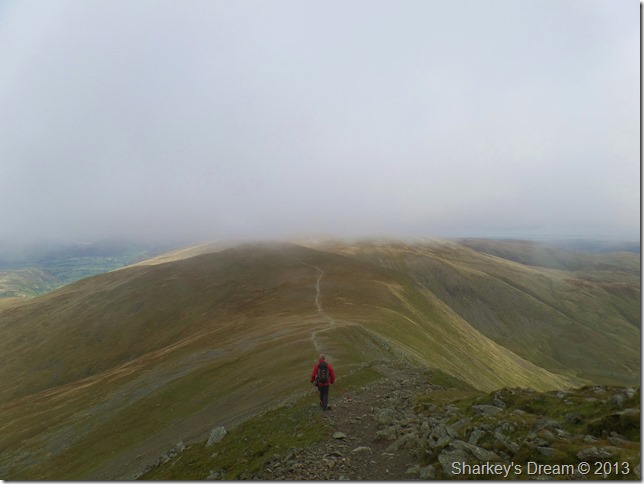
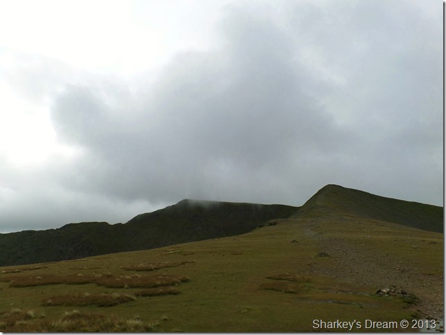
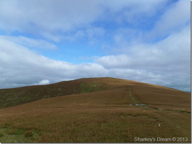
Helvellyn as we almost miss out on Nethermost Pike.
So deep in conversation as we were we almost missed out on Nethermost Pike, here I uttered the word ‘David’ are we erh…
Oh god yeah! |
 |
| |
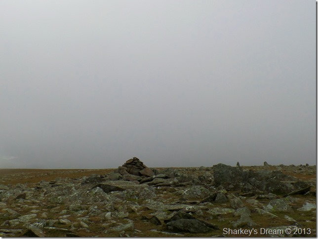
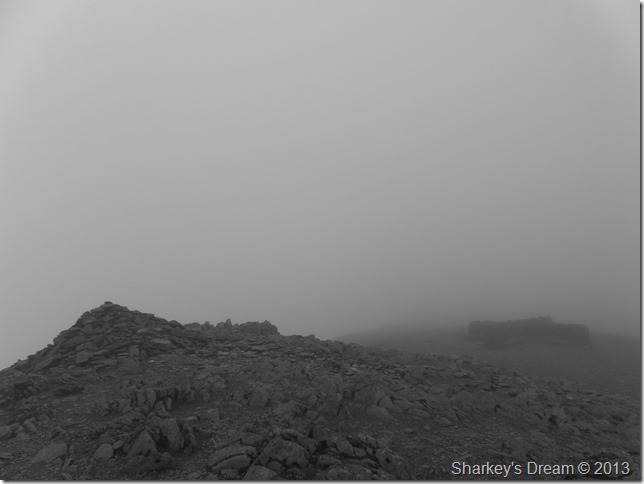
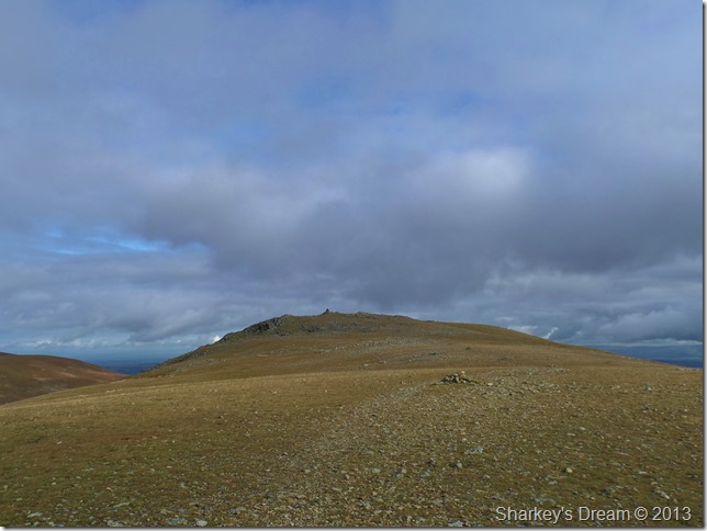
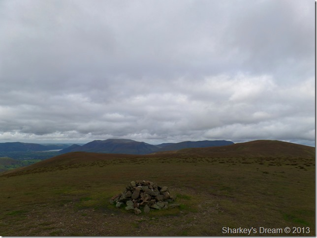
Nethermost Pike summit cairn.
After abruptly leaving the path we climbed a direct ascent to the summit, it wasn’t just the path we left behind, also sadly went the views.
We have a scurry about Nethermost walking closely to the edge to see if we could see anything into the valleys below which were barley recognisable through the rolling cloud.
Time spent at the summit was brief so after a few minutes deciding if the cloud was going to shift or not we then dropped down & took in the slight ascent to the summit of Helvellyn.
Things got much colder along the way. |
 |
| |
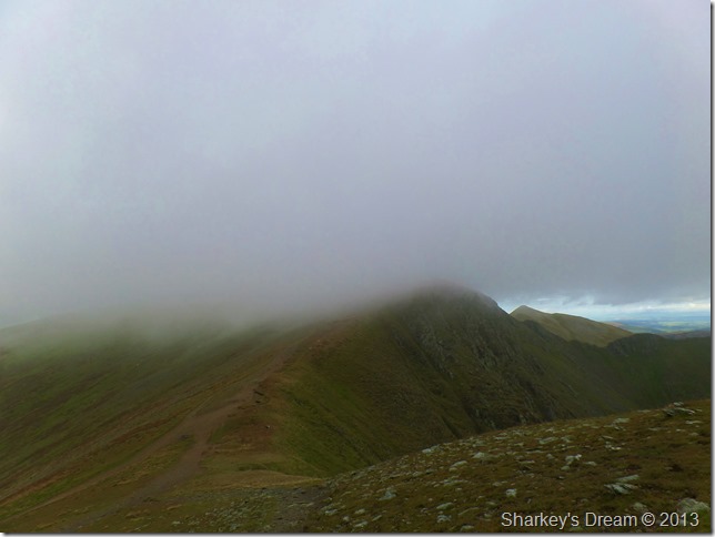
Our last sight of Helvellyn from Nethermost Pike.
The cloud began to gather much more as we re-joined the main summit path, here views into Nethermost Cove were brief & so were the views over looking Striding Edge. |
 |
| |
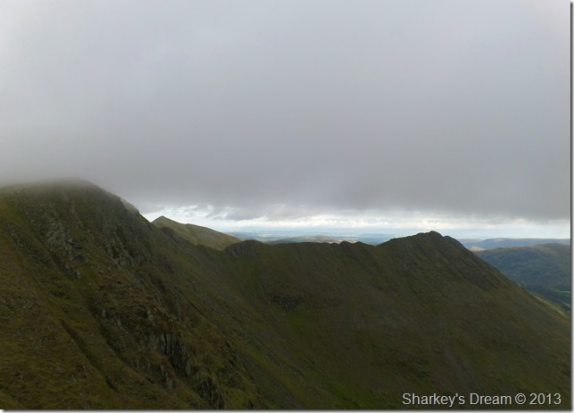
Striding Edge with a glimpse of Catstye Cam overhead. |
 |
| |
Helvellyn summit & cross shelter.
We had lost almost all views by the time we reached the summit, here a cold westerly wind blew across the ridge.
Both David & I layer up, me by adding my hat & gloves as David goes the full hog by rolling his sleeves down & adding a windproof jacket. |
 |
| |
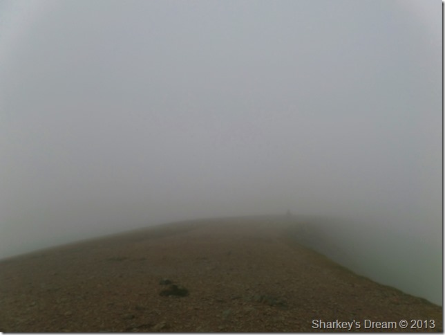
The summit was eerily quiet through the cloud. |
 |
| |
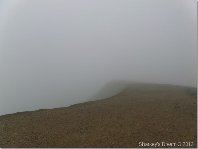
The contour of the east face clearly recognisable.
Although it was mid morning both David & I expected to see a few walkers milling about the summit plateau, instead we were treated to it all to ourselves, it was such a pity the views escaped us. |
 |
| |
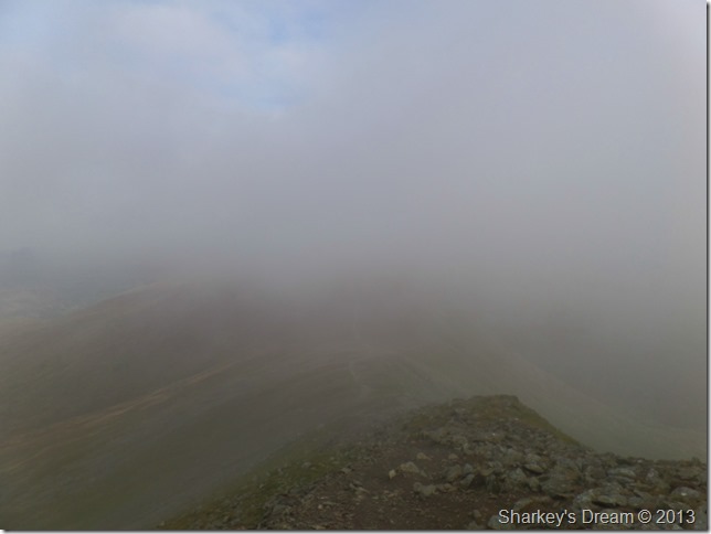
Descending Helvellyn Lower Man.
We made the traverse across the summit where Helvellyn Lower Man appeared through the passing cloud, it was becoming fast apparent that the cloud was breaking up across the ridge, all we had to do was make the descent down as the cloud broke above our heads. |
 |
| |
David takes in the view below Helvellyn Lower Man.
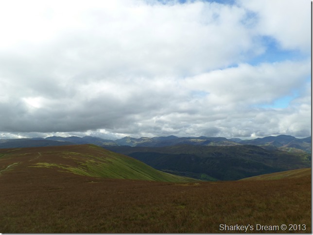
Both David & I agreed the low cloud was breaking up just nicely as we made for White Side…Is that White Side or Whiteside? something that gave us something to think about for a few moments!
Here’s what David was looking at. |
 |
| |
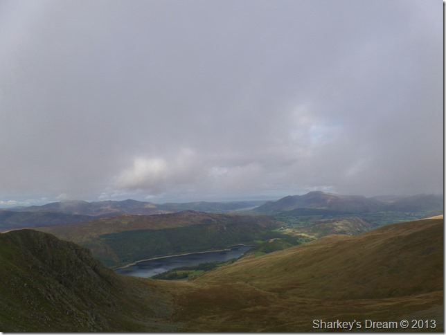
Thirlmere with views over the north, & north western fells. |
 |
| |
Catstye Cam & a distant Ullswater as we pass the top of Brown Cove.
The views were opening just nicely in every direction pushed by some rather strong gusts across the open ridges, although the sun is shining it does nothing to ease the cold out of the wind, so for now the hat & gloves stay on. |
 |
| |
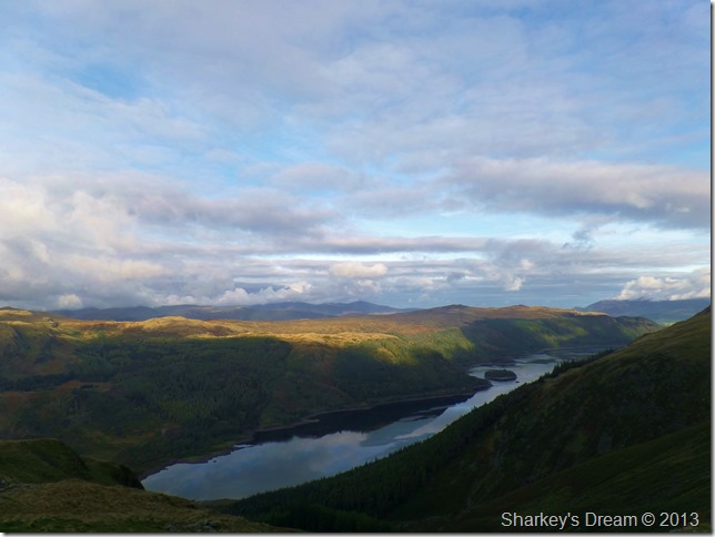
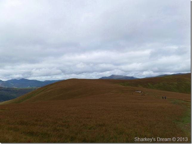
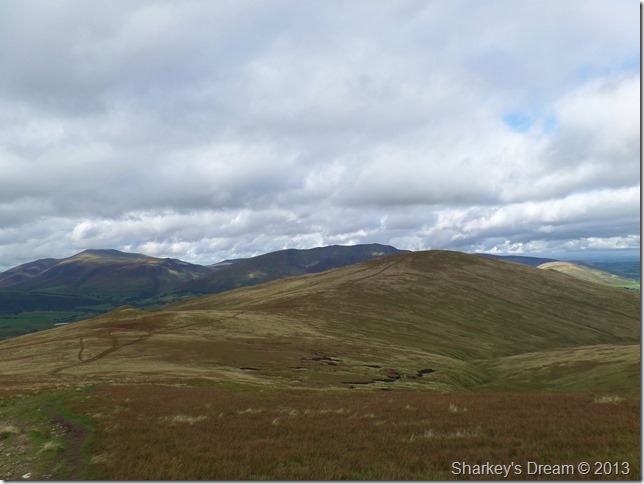
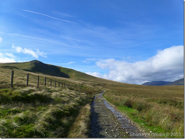
White Side & Raise with a glimpse of Stybarrow Dodd in the far distance.
It was only after leaving Lower Man did we start to see walkers along the ridge, seen here as three black dots on the path beneath Raise, it turned out they were a group of young fell runners who ran down the descent only to walk across the ridge which makes sense if you want to enjoy the views at the same time. |
 |
| |
Here stopping to look back on Helvellyn & Helvellyn Lower man.
Although you cant quite make them out, there are four walkers climbing Swirral Edge in this photo, they may be pleased to know after we had just read a sign that extensive footpath work had been carried out along Swirral Edge, whether they notice or not is another matter! |
 |
| |
The same view from White Side.
The nature of todays walk meant that there were quite a lot of up & downy bits in-between the summits, we both joked that the slight grassy approach to Clough Head at the end of the ridge was going to be a tester for tired legs. |
 |
| |
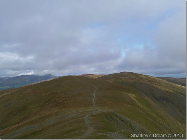
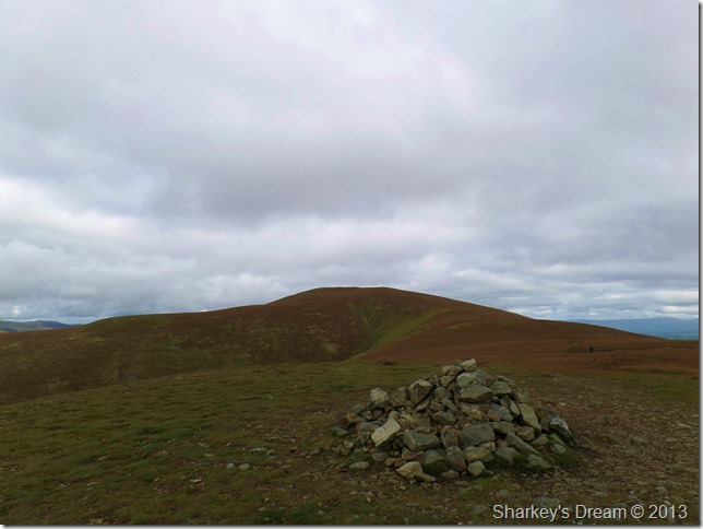
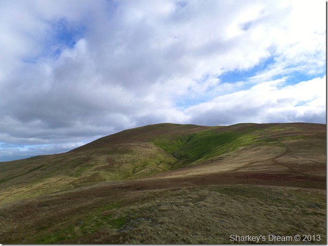
Raise, Stybarrow Dodd, Watson’s Dodd & Clough Head come into view.
With the sight of Clough Head at the end of the ridge came more good spirits, although still a good distance away, the sight of the end of the ridge prompting comment just on fresh legs felt & how good we were keeping time. |
 |
| |
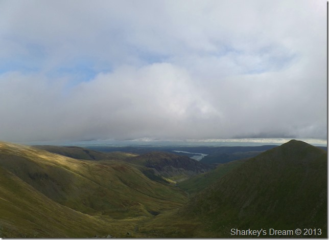
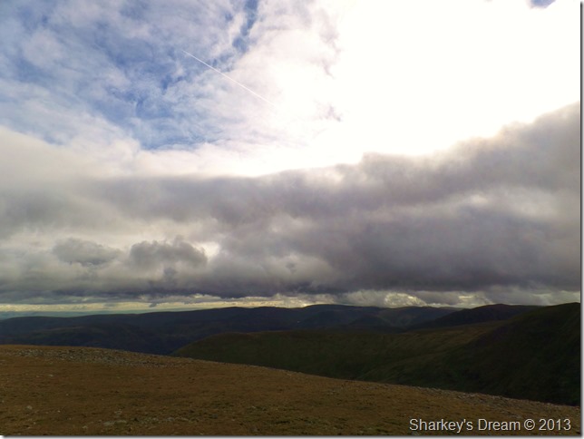
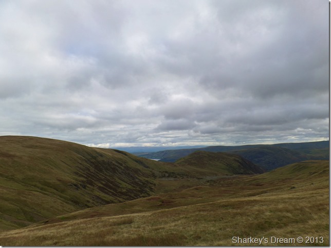
Here, over looking the Far Eastern fells as a band of cloud hangs precariously low above the fell tops. |
 |
| |
With Raise came the sunshine.
After another descent/ascent Raise was reached just in time for the sun to come out. |
 |
| |
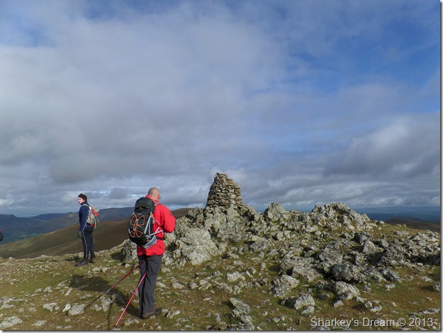
David preparing his summit photo on Raise.
We were soon joined by a group of walkers at the summit coming from the direction of Sticks Pass in what looked like to be a group broken up by the fittest first & so on.
The sight of some of those faces at the back of the group wasn’t very inspiring, although they did try to hide their ailing’s well with brief smiles as we passed them. |
 |
| |
Sticks Pass & Stybarrow Dodd after descending Raise.
The cloud gathered not long after leaving Raise but it was nothing to worry about, David & I touched on the subject on the Ski Tow that is situated on the north east flank of Raise.
Seeing that we were making great time we go a little off-piste ourselves & take a look at the Ski Tow. |
 |
| |
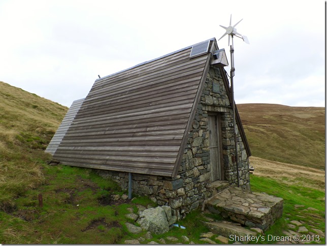
Raise Ski Tow.
The Lake District Ski Club was formed in 1936 by a group of enthusiastic skiers who wanted to ski in the Lake District, Raise was chosen because of its fantastic snow conditions during the winter. |
 |
| |
The Millennium Hut formerly the Members Hut which dates back to 1958. |
 |
| |
Heading over rough ground for Sticks Pass.
After a little time spent exploring the Ski Slope we then headed back on course towards Sticks Pass & Stybarrow Dodd. |
 |
| |
Green Side & Sheffield Pike as we make for Sticks Pass. |
 |
| |
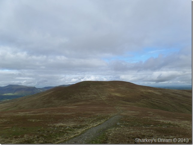
Stybarrow Dodd from Sticks Pass.
After numerous ascents & descents we reached Sticks Pass, earlier we had joked & made it clear that pace was bound to be off a little on this ascent but, as it turns out, we made a run straight to the top even if the calf’s did burn a little. |
 |
| |
The northern fells, Watson’s Dodd & Great Dodd from Stybarrow Dodd summit cairn.
It was now time for lunch as we headed off towards what is left of the summit shelter (which is actually built into a stone wall which spans the summit)
Here not only did we eat food we talked it…cheese mostly which got the mind thinking of a lovely crumbly Lancashire on toast |
 |
| |
Watson’s Dodd in all its autumnal glory.
After finishing lunch we shouldered packs & headed for Watson’s Dodd still in conversation on the matter of cheeses.
Gone are the rough paths underfoot for a more gentle grassy approach with our remaining summits, all displaying deep reds, greens & yellows…it isn’t just the colour of leaves that change during Autumn, the grasses do too. |
 |
| |
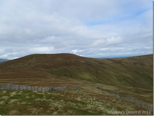
Great Dodd from Watson’s Dodd summit cairn.
The solo walker you see on the right follows us all the way to Clough Head. |
 |
| |
The north west fells from Watson’s Dodd.
Displayed from the ridge was a vast selection of the north west fells which had escaped any cloud for much of the day, anyone walking there today would have some clear views towards a much cloudier Helvellyn range earlier. |
 |
| |
Great Dodd after leaving Watson’s Dodd. |
 |
| |
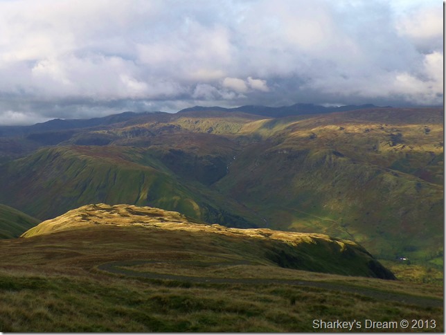
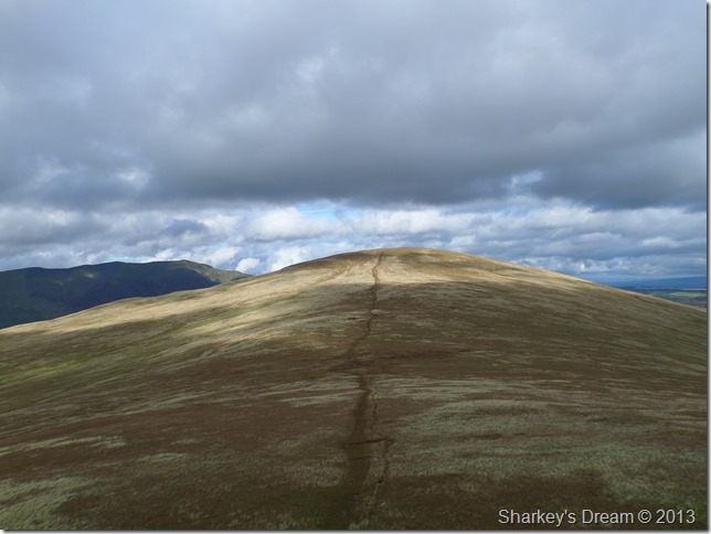
Passing the top of Millgill Head en-route to the summit as the views south start to open up. |
 |
| |
Here, looking back on ground covered.
It looked as though the sun was back to stay & warmth came with it, here in the photo our ridge walk is visible all the way back to Helvellyn & Helvellyn Lower Man (the dark peak seen right) the left dark peak being Catstye Cam as the ridge twist its way south, here depicting that the ridge isn’t as straight as first thought. |
 |
| |
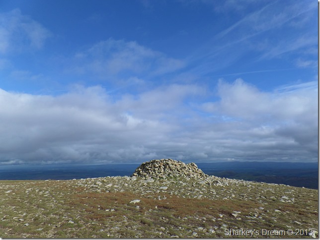
Blue skies above Great Dodd summit shelter. |
 |
| |
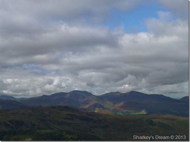
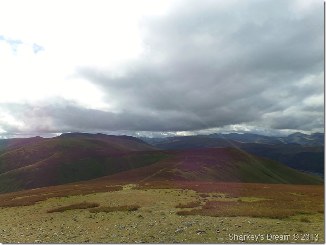
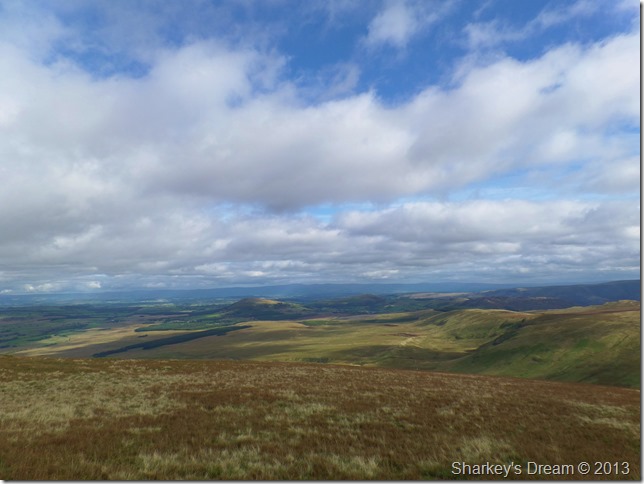
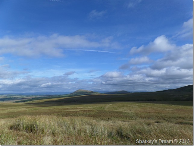
Both Great Mell Fell & Little Mell Fell seen over Threlkeld Common.
David spoke of a few routes taking in Threlkeld Common & indeed part of the Deepdale valley which is situated slightly to the right of the photo after seeing just how impressed as I was with the scenery before me, not like I hadn’t seen it before mind but on an afternoon as glorious as today & I can see many future walks involving this particular part of Lakeland being planned so watch this space! |
 |
| |
Calfhow Pike & Clough Head seen after descending Great Dodd.
Many walkers were passed as we left Great Dodd for Calfhow Pike which meant that we had the last part of the walk almost to ourselves-bar the solo walker who we had passed as he rested in the shelter on Great Dodd.
Here I watched as David descended Great Dodd letting both his walking poles do the work of his knees, I have never been fond of walking with a pole as I see them as an aid in much steeper ascents or descents yet after seeing David it kinda got my mind wondering…
Have I been letting my knees & joints do all the work? no wonder my hips hurt at night…
Here, David says, handing me his walking pole into my left hand, just try it see what you think.
As I have already my own Walking Pole in my right hand I give it ago using two poles.
Footnote
The main reason I only use the one Walking Pole is possibly more psychological than physical as I deem my left hand/arm much weaker than my right, (ask me to knock in a nail with a hammer using my left hand & I simply could not do it)
This being one of many reasons why I have only ever used the one walking pole.
After trying to walk with two poles I got used to it almost instantly & felt the benefit quickly too, the facts & figures are there in that walking with two poles especially in ascent/descent is much easier & less harder on the joints than one, or if like me, non at all.
It seems the left side of my body isn’t as antwacky as I first thought it was.
All I need now is a matching pole which hopefully Ebay can help me out with. |
 |
| |
Here looking back on the colourful array of grasses on Great Dodd before reaching Calfhow Pike. |
 |
| |
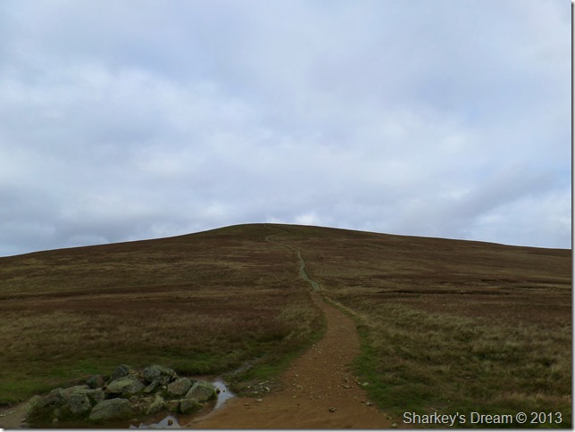
Clough Head from Calfhow Pike.
The last summit of Clough Head was almost upon us as we take in the last legs of the ridge under warm afternoon sun. |
 |
| |
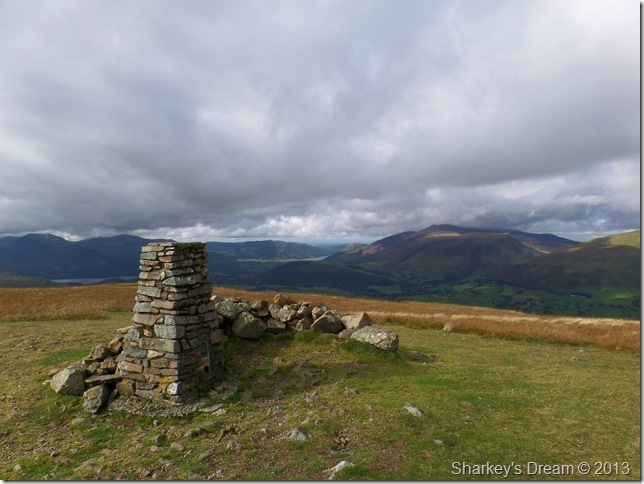
Clough Head summit trig point with the Skiddaw group in the distance.
Sometime back along the ridge David suggested we return via the Old Coach Road which would mean dropping of the summit pathless in an easterly direction and, seeing that I hadn’t used the route myself would be a fitting end to an already fantastic day on the fells. |
 |
| |
The Mell fells from our descent route.
Our descent took us down ‘the back of’ Clough Head over rough grass & heather patches until we reached Mosedale Beck, at times progress was slow as we negotiated bogs & moss trying to keep to the high ground as best we could. |
 |
| |
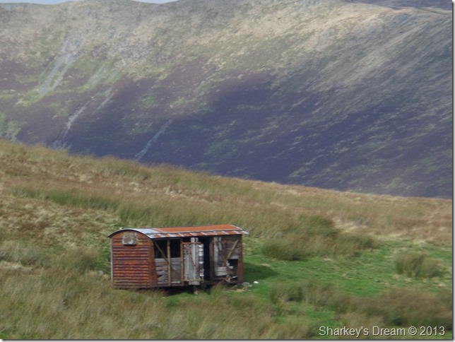
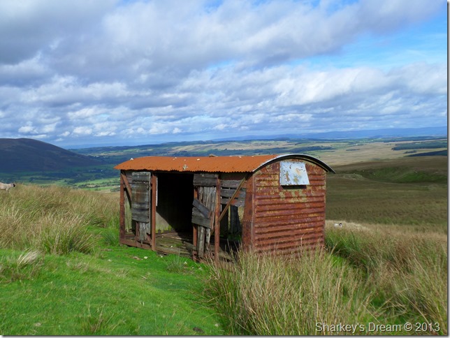
One of three railway wagons situated on Clough Head, The Old Coach Road & Threlkeld Common. |
 |
| |
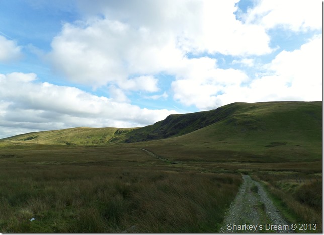
The Old Coach Road.
The Old Coach Road heads east beneath Wolf Crags all the way to High Row just over two and a half miles away.
Lots of myths revolve around whether the road was actually used as a coach road as there is no real evidence to back it up, I guess the verdict is anyone’s guess. |
 |
| |
Blencathra from The Old Coach Road. |
 |
| |
The distant Mell Fells domineering the view in-between The Old Coach Road & Threlkeld Common. |
 |
| |
Blencathra seen over Threlkeld Common. |
 |
| |
Threlkeld Knotts from The Old Coach Road. |
 |
| |
The second Railway Wagon is found right besides the footpath. |
 |
| |
Passing Threlkeld Knotts.
Nearing the end of the road as we start to flank Threlkeld Knotts with amazing views over Threlkeld, Latrigg & Skiddaw, the third railway wagon is seen in the foreground in the right of the picture. |
 |
| |
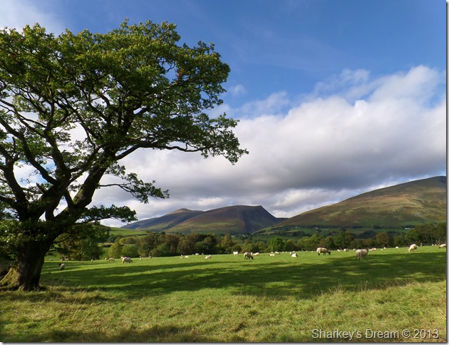
Blease Fell, Lonscale Fell & Skiddaw Little Man from the rather scenic car spaces near Wanthwaite.
After leaving The Old Coach Road behind we soon find ourselves looking upon the car parking spaces near Wanthwaite where we left David’s car a little over seven hours ago.
As David kits down at the back of his car I wonder over to the corner of the farmers field nearby & take this one last photo which sums up the whole day.
Perfect. |
|
| |
| Back to top |
 |
|