|
Grisedale Pike & Eel Crag via the north ridge |
 |
 |
24th November 2013 |
 |
|
A planned walk around the Coledale fells was on the cards, but time was on my hands & a complete horseshoe route was kinda out of the question.
The forecast had predicted a clear dry day ahead with lingering fog patches that would rise come early morning leaving the summits relatively cloud free, this particular walk had been reserved for much more winter conditions when snow was thick & compact underfoot, yet seeing as the moment I penned it I started to get that familiar belly tingle & Grisedale Pike & Crag Hill just couldn’t wait any longer.
I will return when the snow arrives to retrace my steps & who knows maybe include a few more summits along the route but for now this is Grisedale Pike & the Eel Crag north ridge. |
|
Wainwright Guidebook |
 |
| The North Western Fells |
-Eel Crags:
It is usual to tackle the scree slopes to the lower summit as soon as the upper valley of Gasgale Gill is reached, and to go straight up it – an unpleasant proceeding on steep loose stones. A strip of grass on the right gives better foothold and then a detour to the left to a gully is to be preferred |
 |
|
| |
|
Overview |
|
|
| Ascent: |
3,622 Feet, 1,104 Meters |
| Wainwrights: |
Grisedale Pike – Crag Hill (Eel Crag) – Sail – Barrow |
| Weather: |
Overcast With Drizzle On Tops Lows Of 1°C Highs Of 3°C |
| Parking: |
Whinlatter Pass, Above Braithwaite |
| Area: |
North Western |
| Miles: |
8.1 |
| Walking With: |
On my own |
| Ordnance Survey: |
OL4 |
| Time Taken: |
4 Hours 45 Minutes |
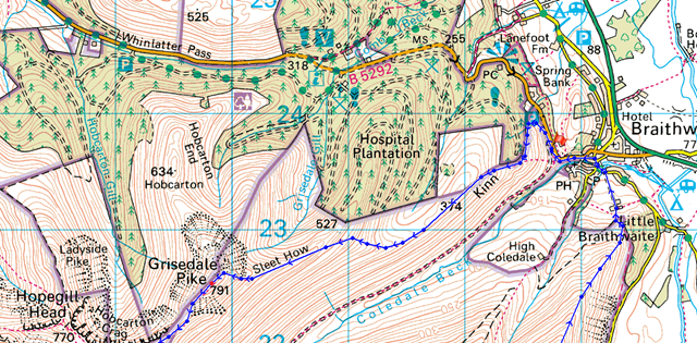
| Route: |
Whinlatter Pass – Kinn – Sleet How – Grisedale Pike – Coledale Hause – Eel Crag North Ridge – Crag Hill (Eel Crag) – The Scar – Sail – Sail Pass – High Moss – Barrow Door – Barrow – Braithwaite Lodge – Braithwaite – Whinlatter Pass |
|
| |
|
Map and Photo Gallery |
|
|
 |
| |
Whinlatter Pass, above Braithwaite 8:16 1°C
Todays walk starts from the Whinlatter Pass just above Braithwaite, this incline doesn’t look much & indeed it isn’t but after a long walk the slight ascent pulls at already tiring muscles, this being the reason why I parked off road by a grass verge a little down the road at the bottom of the hill.
I managed to park without incident this being a niggling worry on the drive up given that I am a usual half hour later than my normal arrival time in Lakeland.
With the tailgate closed & keys safely packed away I begin the steady climb up the hill where I make a left turn through the car park, from here I can pick up the steep ascent towards the Kinn. |
 |
| |
Skiddaw seen from above Braithwaite.
Ahead the morning mist looked like it may clear but at this stage I wasn’t feeling too enthusiastic about the forecast, time will tell I suppose. |
 |
| |
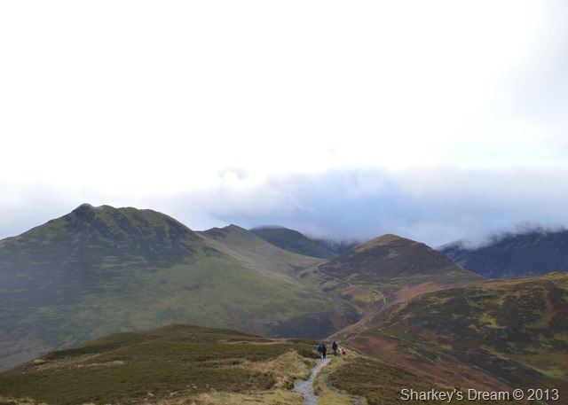
Hmmm…
Grisedale Pike & Sleet How from the Kinn.
With optimism slowly fading I took on the Kinn as I watched half a dozen walkers ahead take on the steep approach to Sleet How. |
 |
| |
Latrigg, Keswick, Clough Head & The Dodds from the Kinn.
I guess today’s forecast was anyone’s guess with the eastern fells now clearly visible (for now) However, here over in the north western corner of the district the cloud was starting to thicken & long gone were the thoughts of blue skies over head. |
 |
| |
From Kinn I took this photo looking back on Skiddaw as the cloud slowly crept over & engulfed the summit. |
 |
| |
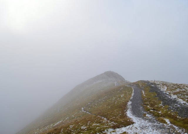
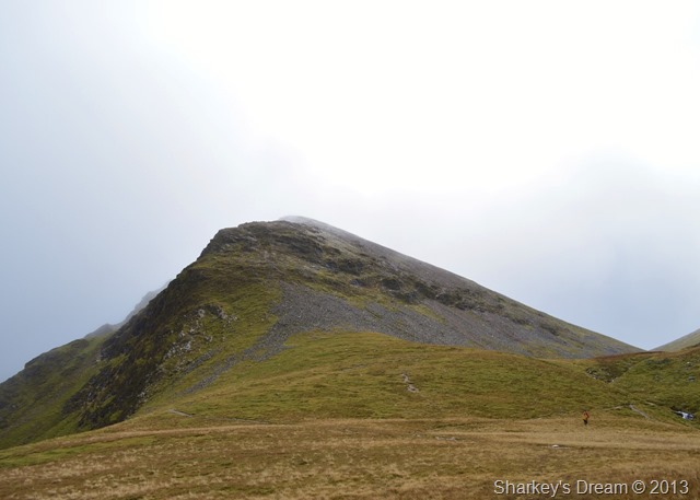
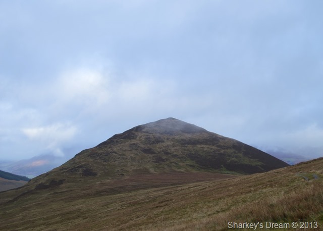
Grisedale Pike from Sleet How.
It was quite a steep pull up over Sleet How as I layered down to just my base layer, a welcome sight was the drizzle that came with the mist every now & again cooling me down as I took on the climb towards the summit. |
 |
| |
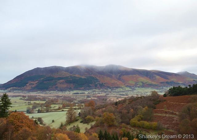
Hobcarton Crag, Sand Hill & Hopegill Head.
I soon crested the summit where I was met with the climbers I had witnessed earlier most of whom were taking shelter out of the cold wind where they could, I counted a good half dozen dotted about the area, I passed on my good mornings & they all retuned my gesture.
The temperature had now dropped to a cold chill as I added my jacket to layer up again, my thoughts however were to press on to keep the circulation going.
Had the weather been in my favour I would have most certainly made an ascent on Hopegill Head but seeing as the mist was shifting so quickly I decided to give its summit a miss today. |
 |
| |
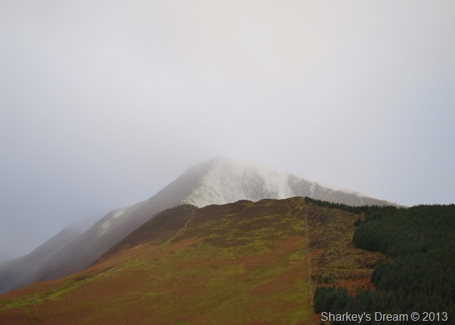
Hobcarton Crag also marks the exit for Coledale Hause.
In all my time on the Coledale Fells this would be the first time I’ve ever used what can only be described as a short cut to Coledale Hause, I almost felt guilty for not summiting Hopegill Head as I sheepishly took on the narrow path through the mist. |
 |
| |
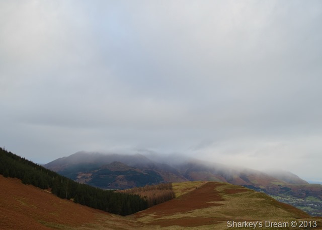
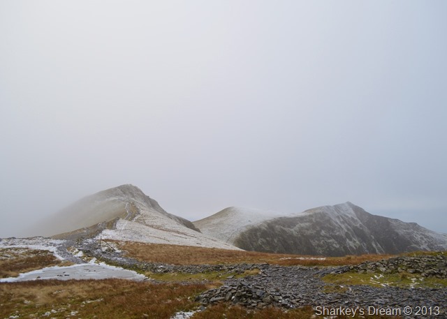
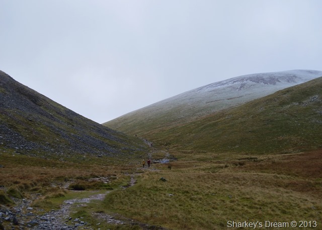
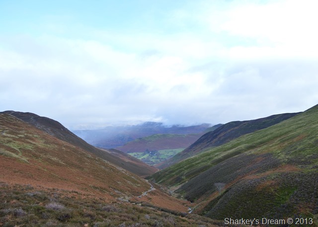
Through the mist Coledale Hause appears together with Crag Hill & Grasmoor. |
 |
| |
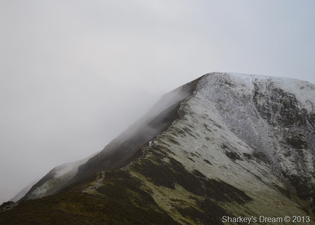
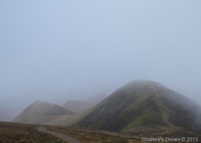
Momentarily the shifting mist cleared revealing Eel Crags & Crag Hill.
Here I will revert your attention to a text message I received the previous evening from Tim my walking friend who promptly planted this seed in my head. |
 |
| |
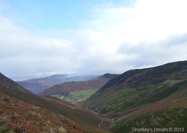
Coledale Hause.
Whilst crossing Coledale Hause I was blessed with the briefest of views of a route that I had never tried therefore had no idea on what to expect, I mean…is todays conditions really right for a steep ascent on un-trod ground?
I guess there’s only one way to find out. |
 |
| |
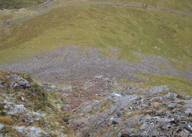
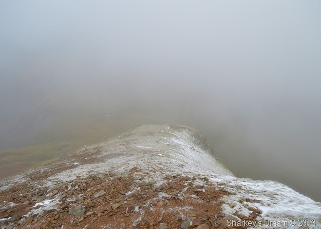
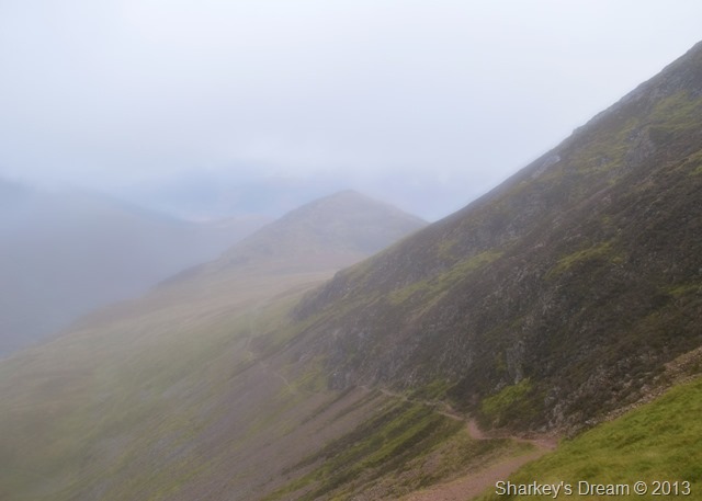
Looking down on the start of the north ridge after reaching the top of the gully.
It really was a steep start firstly over the scree after leaving the path from Coledale Hause, a route is difficult to spot but once closer a define path can be seen which zig-zagged over the scree from where you can pick a rocky path, nearing the top of this section you are met with a solid wall of stone which in my belief, only the brave or more experienced of walkers would ever contemplate, it pays here to look for an alternative route which is picked out via several grassy ledges some more exposed than others.
The rock is wet so careful & sure full footings held precedent at certain points of the scramble, anyone with experience of scrambling will find the route as much fun as I did, however, next time I will wait for a drier day & most important, a clear day because I now believe this is the best way to gain Crag Hill, it was just a shame about my lack of views.
I believe that the course I took via the north ridge wasn’t the popular Shelf Route but a more direct scramble via the north ridge, somewhere along the path I must have crossed the Shelf Route but as I was concentrating on where to place my feet & hands, I guess I must have missed it. |
 |
| |
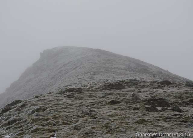
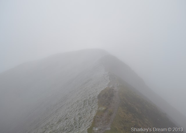
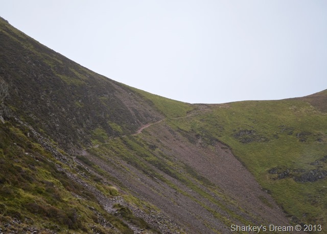
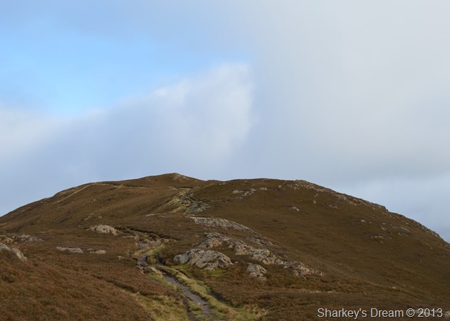
Described as the grassy neck of Crag Hill (Eel Crag)
Once the scrambling is behind you a short yet hugely enjoyable short ridge tempts the walker towards the summit plateau. |
 |
| |
Here looking down on Eel Crag north ridge. |
 |
| |
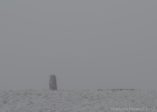
Crag Hill summit Trig Point.
After gaining the summit plateau I kept to the stone cairns marking the route across to the summit, visibility was in between 30-50 metres & although it wasn’t what I would describe as whiteout conditions, it pays to keep to the cairns.
Just over to my right a couple are approaching the Trig Point, we almost meet at the same time hence my lack of photos at the summit, we exchange pleasantries about the unpredictable weather & how quite alot of walkers would have been caught short given the brighter forecast that never materialised.
Here words are spoken that sum up the thoughts of the day…At least it’s not raining.
Well said that man. |
 |
| |
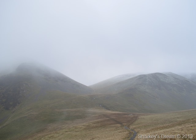
Sail appearing over The Scar. |
 |
| |
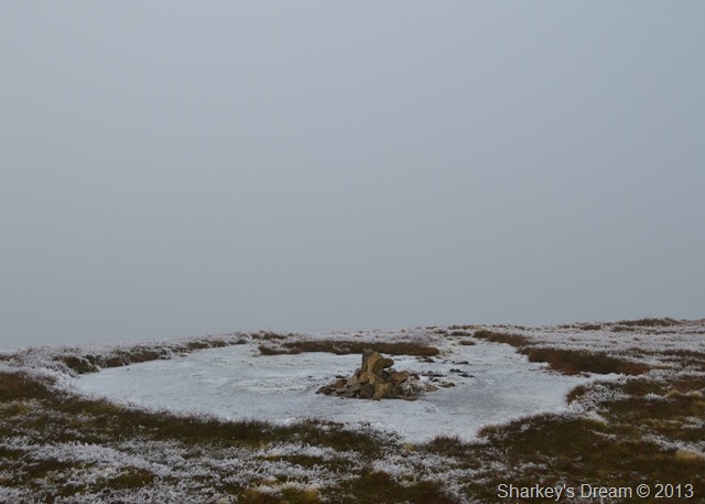
Sail summit cairn.
Not long after leaving Sail summit I start to meet walkers bound for Crag Hill, some stop me to ask for condition & visibility reports others sound just as disappointed as me that the weather didn’t turn out as forecast, I add to the conversation that at least it wasn’t raining, I’m not too sure they shared my optimism! |
 |
| |
Scar Crags, Outerside & the top of Sail Pass after taking on the much talked about zig zags path. |
 |
| |
Sail Pass & Outerside during the drizzle & low cloud. |
 |
| |
Here looking back up to the top of Sail Pass once the drizzle had stopped. |
 |
| |
Outerside from Sail Pass, today of which sadly I will be giving the summit a miss. |
 |
| |
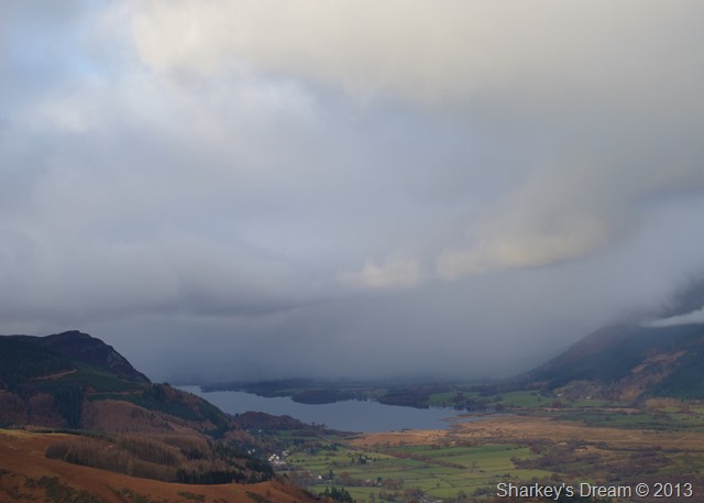
A glimpse of Barrow & Cat Bells from Stonycroft Gill.
Instead of taking the path back via Stonycroft Gill I leave the path & take on the slight ascent towards Barrow seen left. |
 |
| |
Cat Bells from Stonycroft Gill. |
 |
| |
Barrow ahead, its been three years since I was last here which just adds to the fact that the ascent almost feels totally new to me. |
 |
| |
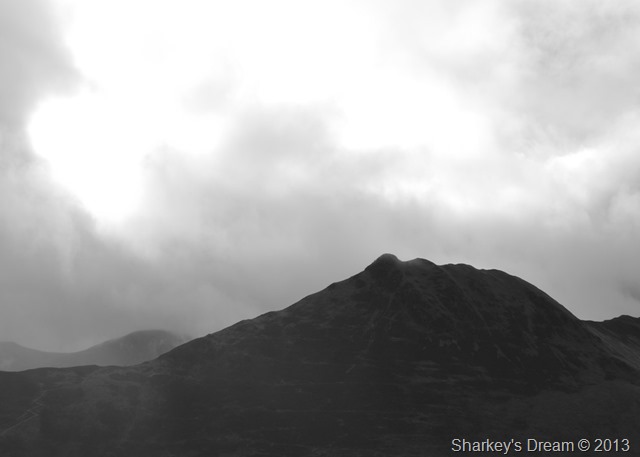
Causey Pike mono from my ascent on Barrow. |
 |
| |
Here looking back on Causey Pike, Scar Crags, Crag Hill & Outerside as I near the top of Barrow. |
 |
| |
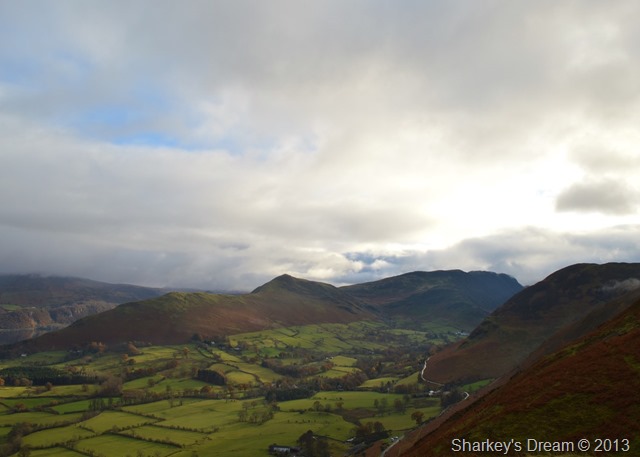
Cat Bells & the Newlands Valley from Barrow summit.
As you can see it started to clear up towards the latter end of my walk…oh well I’ve still had a great day in the place I love. |
 |
| |
Cloud slowly creeps back in, this time from the direction of Bassenthwaite & Bassenthwaite Lake. |
 |
| |
Here’s another photo of Cat Bells, this time with Maiden Moor together with a little more sun down in the valley. |
 |
| |
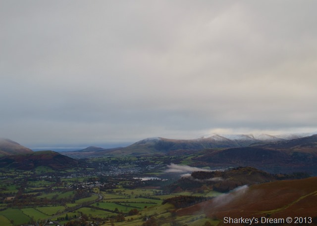
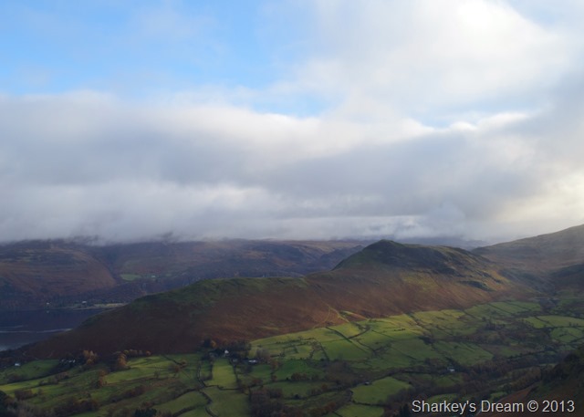
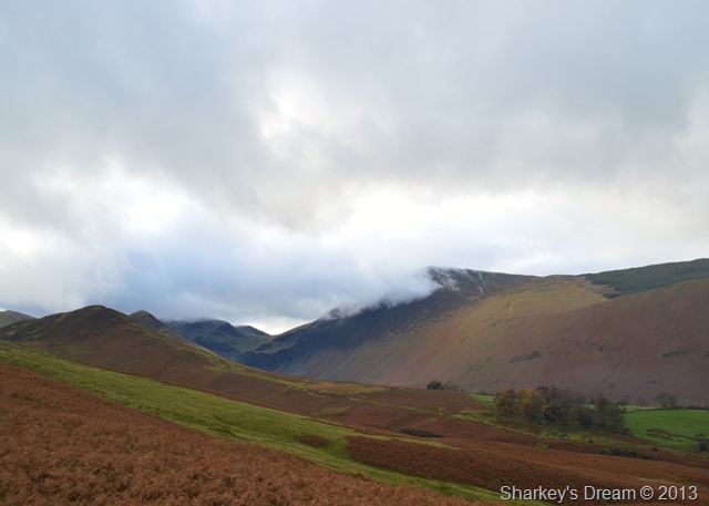
High Coledale.
The Coledale Valley looks much clearer now but Grisedale Pike still had that lingering cloud, it almost looks as if it will pass but sadly as the approaching cloud thickens the summit is lost again. |
 |
| |
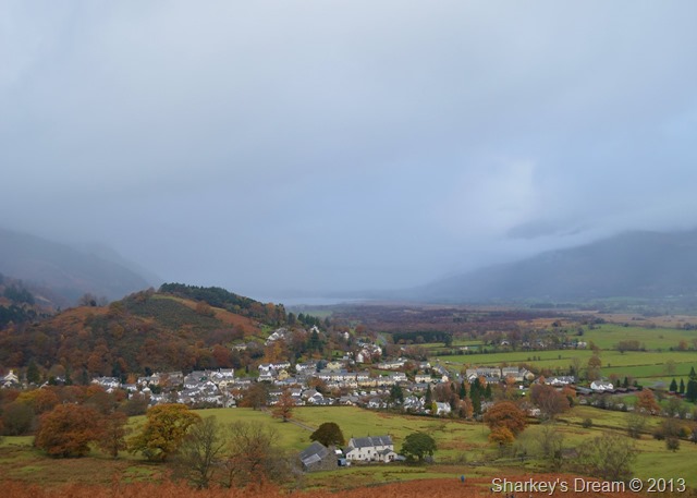
The village of Braithwaite together with Braithwaite Lodge seen in the foreground. |
 |
| |
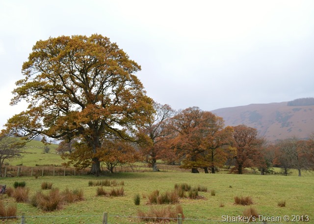
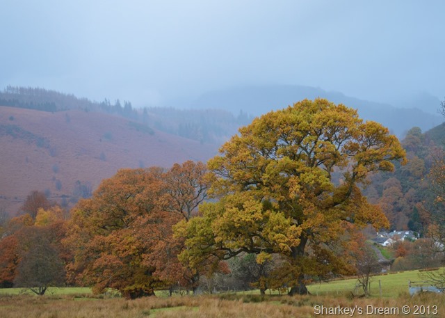
The trees are still holding onto Autumn as I walked through Braithwaite Lodge. |
 |
| |
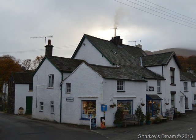
The Village Store, Braithwaite.
I may have well charged up the motorway five hours earlier expecting blue skies & freezing temperatures which are possibly the best arrangement that can tempt a walker from his/her warm bed, instead I was met with low lingering cloud with a mix of drizzle where visibility at times didn’t reach beyond the tip of my nose, its at times like these that it is always useful to remember why we walk the fells, clear days come & go…its days like these that will always be remembered. |
|
| |
| Back to top |
 |
|