|
Latrigg, High Rigg & Walla Crag from Briar Rigg |
 |
 |
4th January 2014 |
 |
|
2014 starts the same way 2013 ended, very wet with the continuing flood alerts for most of the country, the Lake District continues to take a drenching with localised flooding about much of the area, however it seems the district itself has escaped the worst of it.
A walk had been planned for some weeks now with David but sadly like previous form the weather seems to be holding our plans back, nevertheless David came up with this route later on during the week & asked me what I thought.
That email kinda bounced out at me as I was more than pleased with David’s creativity.
It’s best during these wet days to take the forecast wherever it comes from with a pinch of salt as todays forecast had been tipped on its head almost, but that didn’t matter because today we were laying low.
What we were both certain of was that it was going to be a wet one for the duration. |
|
Wainwright Guidebook Three and Five |
  |
| The Northern and Central Fells |
-Walla Crag
The pleasant Vale of Keswick, surely one of earths sweetest landscapes, is surrounded by mountains of noble proportions with an inner circle of lesser fells which deserve more than the name of foothills, each having strong individual characteristics, a definite and distinctive appearance, and a natural beauty all on its own. Among these is Walla Crag. |
 |
|
| |
|
Overview |
|
|
| Ascent: |
3,100 Feet, 945 Meters |
| Wainwrights: |
3, Latrigg – High Rigg – Walla Crag |
| Weather: |
Consistent Showers All Morning, Rain Clearing Around Noon, Slight Gust, Overcast, Highs Of 6°C Lows Of 5°C |
| Parking: |
Roadside Parking, Brundholme Road/Spooney Green Lane, Keswick (NY267 572) |
| Area: |
Northern & Central |
| Miles: |
14.1 |
| Walking With: |
David Hall |
| Ordnance Survey: |
OL5 |
| Time Taken: |
7 Hours 10 Minutes |
| Route: |
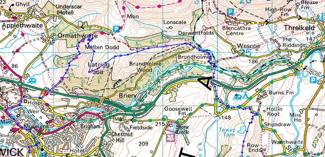
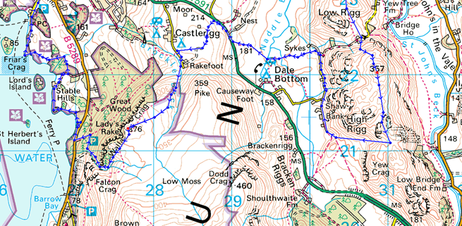
Briar Rigg – Spooney Green Lane – Ewe How Wood – Mallen Dodd – Latrigg – Brundholme – Railway path – across the A66 – Naddle Beck – Tewet Tarn – Low Rigg – High Rigg – Dale Bottom – Nest Brow – Castlerigg – Rakefoot – Walla Crag – Cat Gill – Derwent Water – Keswick – Briar Rigg |
|
| |
|
Map and Photo Gallery |
|
|
  |
| |
| |
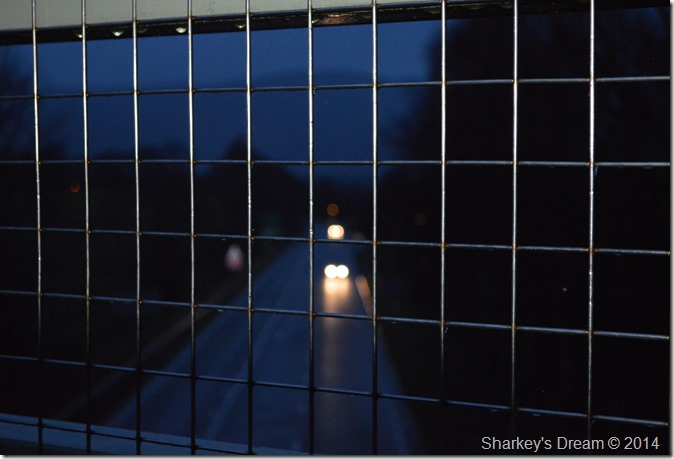 |
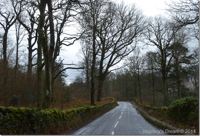
| Crossing the A6 along Spooney Green Lane before sunrise. 08:15 5°C |
Our agreed meeting time was 08:00am at the bottom of Spooney Green Lane, I arrived around 07:45am which gave me sometime to kit up during a shower as always at the tailgate of the car, the rain started off very light but soon got heavier so as soon as the boots were laced up I took cover back in the car.
The rain hit the panels of the car & it was still very dark, too dark to see it but hear it I could. The sound of the rain hitting the car was getting nosier & heavier, then it would stop altogether, then start again.
David arrived bob on 08:00am and span his car around to the back of mine, with the usual hearty handshake followed by a morning’ followed by a Happy New Year.
As the rain had interrupted my own kitting up I soon started where I had left off tucking in my mid layer & tumbling around for the rain cover for my pack which I applied, in all the messing around I left something from my pack in the boot of the car which was pretty dumb of me but we’ll get to that later. |
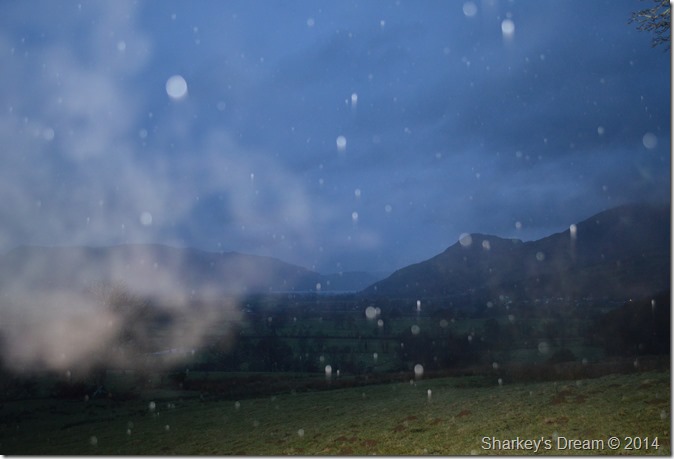 |
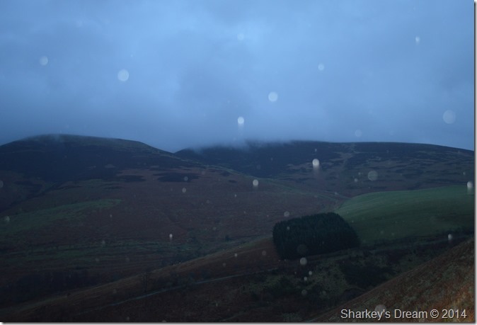
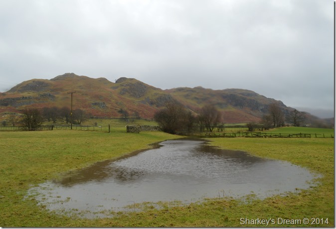
| Setting the scene, here looking across the fields & pastures towards Bassenthwaite Lake & Dodd. |
he rain continued as we took in Spooney Green Lane which held an ever increasing ascent way into Ewe Wood.
It was still dark & picture taking in the rain was already proving difficult, so for now it was just a quick shot before the camera lens got wet. Here my breath clearly seen in the left of the photo which when I look back seems odd as I hadn’t noticed any chill at all. |
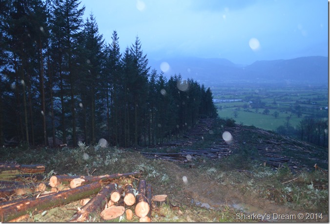 |
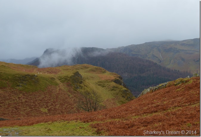
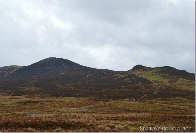
| Logging activity on the west slopes of Latrigg. |
We crested a brow as the ground underfoot evened out for a while, the felled trees were widespread all over the hillside which is never a good sight. David remarked on why the loggers had left a straight line of trees un-felled which is odd really when you think about it.
We continue on as the light ever so slightly, turns from dark, to grey & moody. |
 |
| The top of Gale Road as we round the northern flank of Latrigg. |
| This was for most of the day how just much we could see of Skiddaw & Lonscale Fell, indeed a major factor in why we stayed below the cloud line today. |
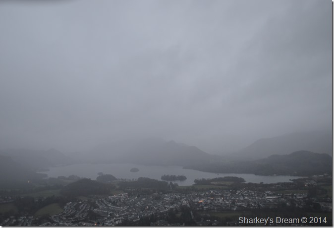 |
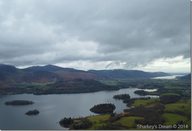
| Derwent Water & Keswick from Latrigg summit. |
| The rain continued whilst on the short ascent up Latrigg, again photos were taken quickly while trying to avoid the rain drenching the camera which by now had the wind behind it. |
 |
| Descending Latrigg east into Brundholme. |
The camera remained in the bag during the slight, yet incredibly slippery descent. A little further back up the slope the inevitable happened as David almost went in to a fully fledged slip through the mud, luckily I managed to grab his elbow & David made his recovery.
A very funny highlight of the morning I might add! |
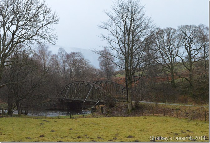 |
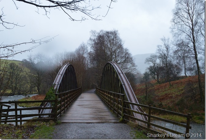
| Approaching the old Keswick Railway path as it crosses the River Greta. |
| After leaving Latrigg behind we continued through Brundholme Woods where we met the old Penrith- Keswick-Workington Railway path, here one of the old steel bridges can be seen as it crosses the River Greta. |
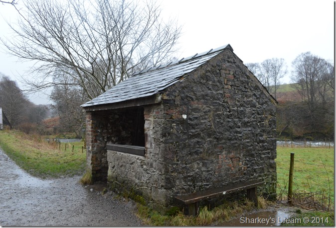 |
| One of the old Railwayman’s Hut along the old line. |
We sought out a respite from the rain which continued through light & heavy intervals, inside, the hut was nice & dry together with some information boards covering the old railway & wildlife. David pointed out the outline of an old window on one wall, while the wall closest to the camera used to have a coal fire in it.
Here clothing was adjusted & cameras wiped as a guy on a mountain bike sped past not noticing we were inside.
After our re-adjustments we headed back out into the rain towards a subway that passes under the A6 |
 |
| But before all that here’s a rainy shot of the old steel bridge with the River Greta at full flow. |
| |
 |
| Latrigg seen from Tewit Tarn. |
It was around a mile & half since leaving the old railway line & reaching Tewit Tarn, normally I’d document it well but sadly, it was just too wet to get the camera out.
However conversation still flowed even if the pictures didn’t.
Hey David? yes Paul? there’s two people over there can you see them? David looks puzzled, Paul they’re horses!
And that’s why I keep saying I need to get my eyes tested! |
 |
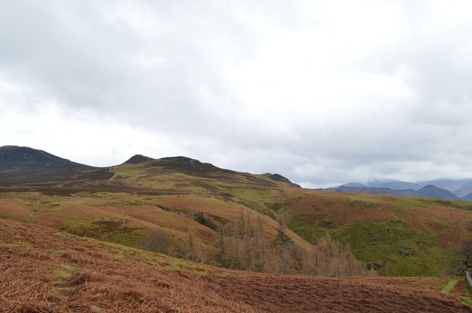
| High Rigg as we cross the path over Low Rigg. |
| |
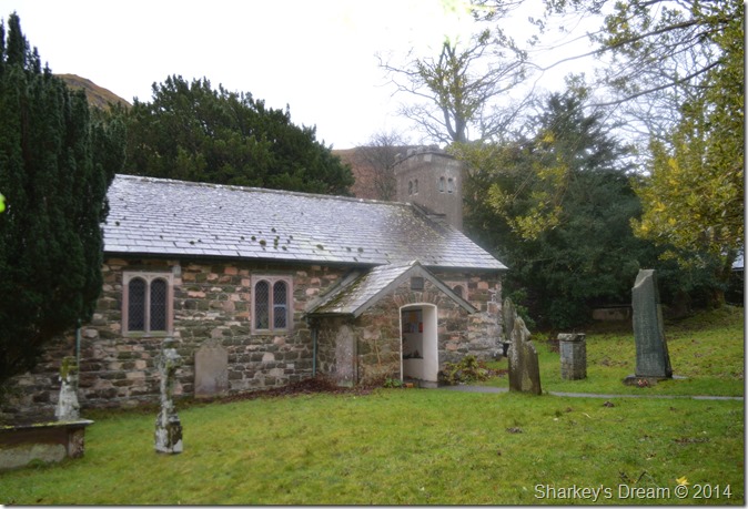 |
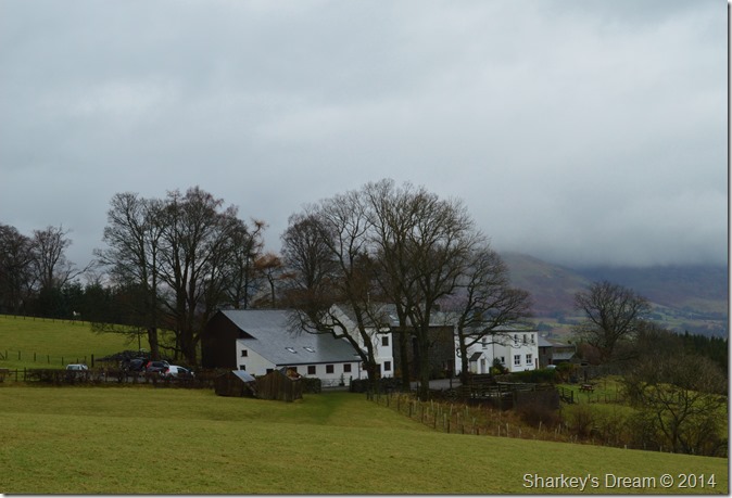
| More salvation in the form of St John-in-the-Vale church. |
| We didn’t comment, we didn’t ask one another, we just walked right in such was the rain, this photo taken whilst sheltering under a tree. |
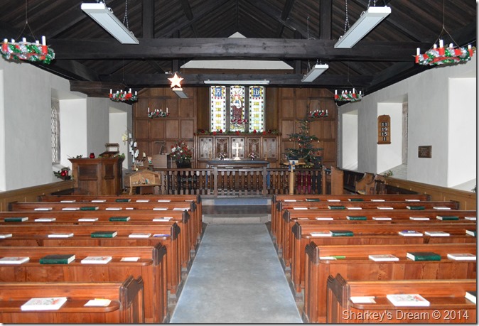 |
| Solace in St Johns. |
| It was time for more adjustments, if we had spare clothing it replaced wet clothing. I figure we’d spent well over fifteen minutes inside. |
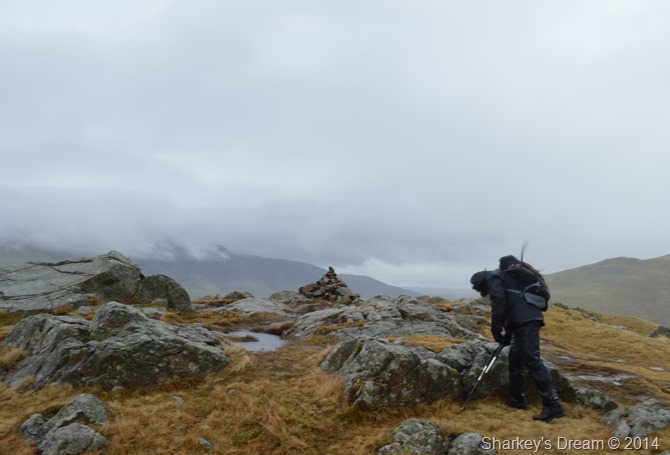 |
| David pauses to take a few photo’s whilst at High Rigg summit cairn. |
| The rain continued during the ascent on High Rigg, it was a steep approach after leaving St Johns Church, this was done with hoods up & peaks held as the wind got steadily stronger, especially around the summit area. |
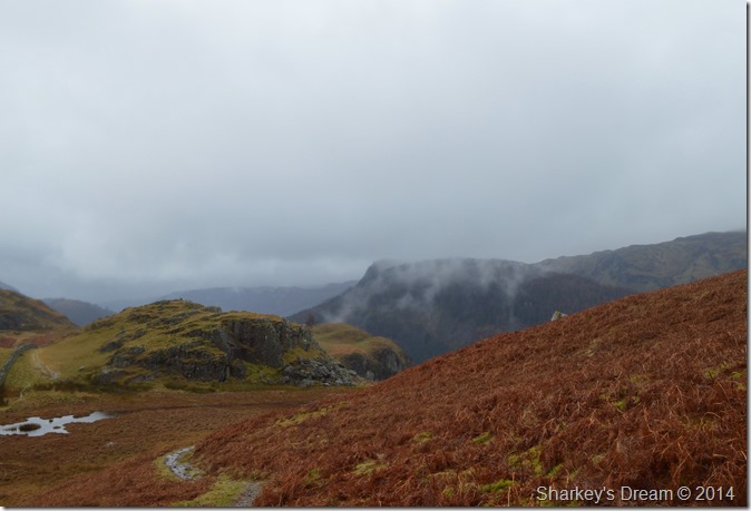 |
| Alas a break from the rain. |
| We walked across the ridge towards our descent point which is out of shot behind the crags in the foreground. Our path as you can see follows the wall but there was quite a bit of negotiating wet bog before hand. |
 |
| The Benn & Raven Crag start to appear through the cloud. |
|
 |
| Descending down towards Dale Bottom. |
After rounding the Crags seen in the previous picture we hooked a right & followed the stone wall all the way to Dale Bottom.
By now it had stopped raining which was great news, the bad news was my camera was in a bad way as the view finder had completely fogged up, a little worrying at times during this descent but thankfully it cleared itself over the next hour or so, however during that time my pictures took on that ‘smeared affect’ as all of my gear included my wipe cloth which was in a waterproof bag eventually succumbed to a soaking. |
 |
| Looking back up the path from our descent. |
| |
 |
| Passing through Shaw Bank as we make for Dale Bottom. |
As we reached the bottom of the stone wall we hooked a right & followed a narrow lane through the cottages & guest houses of Shaw Bank. After passing one particular farm we walked passed a farmer shouting orders to his sheep dog high up on High Rigg’s flanks.
We both agreed that the sheep dogs name was Paul! I kid you not, If you’ve ever seen the ‘Dan’ scene from I’m Alan Partridge you may know exactly how this farmer was creating all over the fell side. |
 |
| High Rigg from Dale Bottom. |
| |
 |
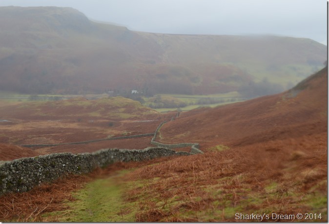
| Low Nest Farm shortly after leaving Dale Bottom. |
We tucked in besides a sty in a stone wall, here we decided it was lunch time. With this we down packs & set about eating lunch.
Cast your mind back to the beginning of the walk when I said that I had left something important behind…that’s right my lunch, which was still in the boot of the car after faffing about trying to locate my pack rain cover.
In all my walking career I have never forgotten my lunch, I was hungry & by now my stomach was growling, David laughs & hands me one his sandwiches of which without, I would surely have slipped down the grid.
Thank you again David. |
 |
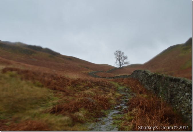
| Nest Brow with some of the clearest weather we’ve seen all morning. |
| We soon left Dale Bottom behind with fed bellies we now took on Nest Brow before reaching Rakefoot which we did by turning left at the treeline in the photo. |
 |
| Walla Crag seen as we pass through more muddy fields at Rakefoot. |
| |
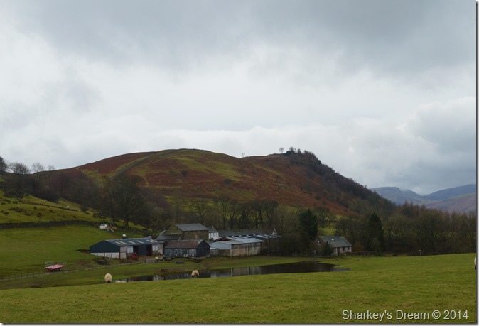 |
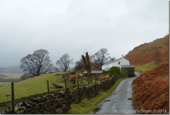
| Walla Crag seen from Rakefoot Farm. |
| |
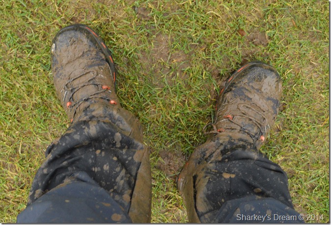 |
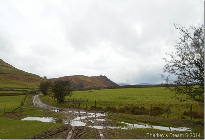
| Muddy Hell! |
| |
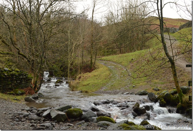 |
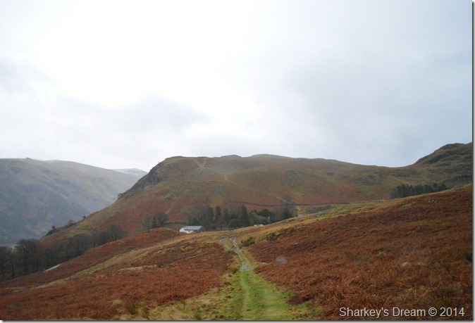
| After leaving Rakefoot Farm we crossed Rakefoot Ford en-route to our final climb of the day of Walla Crag. |
| |
 |
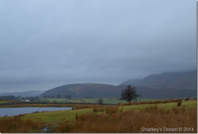
| A hint of blue sky beyond Bassenthwaite Lake together with Dodd in the right of the photo. |
| |
 |
| A hint of blue sky beyond Bassenthwaite Lake together with Dodd in the right of the photo. |
| |
 |
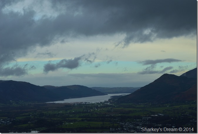
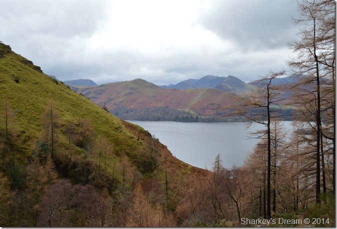
| Derwent Water & its isles with a distant Bassenthwaite Lake from Walla Crag summit. |
| We didn’t expect to have Walla Crag to ourselves but sure enough that is what we got. Today David had brought along his new Anemometer which he proceeded to take wind, temperature & wind-chill measurements, what surprised us most overall was it was reading a 0.5 wind-chill. |
 |
| The top of Cat Gill. |
| Our descent to Derwent Water was by means of Cat Gill, a steep chasm cut into the face of Walla Crag & one I regrettably had to say, hadn’t used before. David told me it was steep, he wasn’t wrong |
 |
| Descending Cat Gill. |
| The path is stony & very wet so alot of care (more on my behalf) was taken during steep descents such as this, the path is mostly narrow & does even out at times, best described as a steep path in whole so as not to confuse matters. |
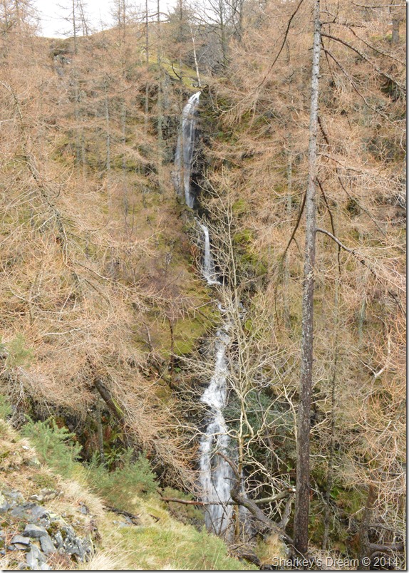 |
| The waterfalls found at the top of Cat Gill, very impressive sadly obscured by trees. |
| |
 |
| Cat Bells from Cat Gill. |
| |
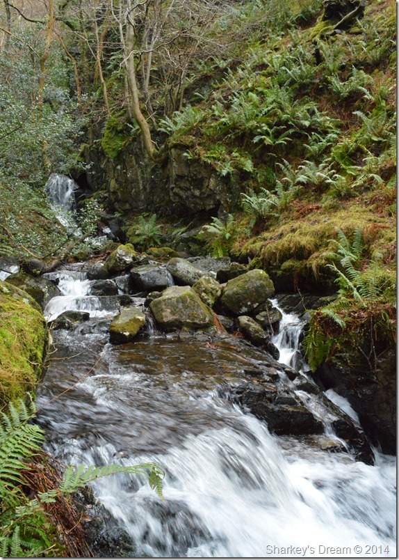 |
| Cat Gill in full flow. |
| |
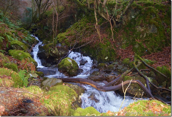 |
| Cat Gill. |
| Cat Gill mainly from the top of the path is heard not seen, look out for the little breaks in the trees to get a descent view. |
 |
| Crossing the Borrowdale/Lake Rd as we drop down towards the shores of Derwent Water. |
| |
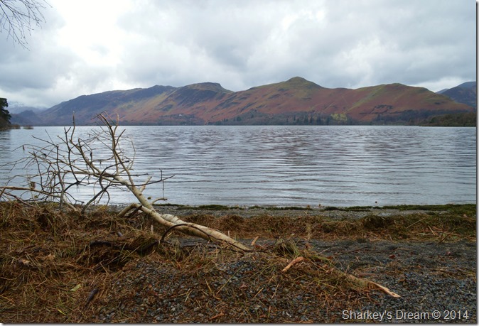 |
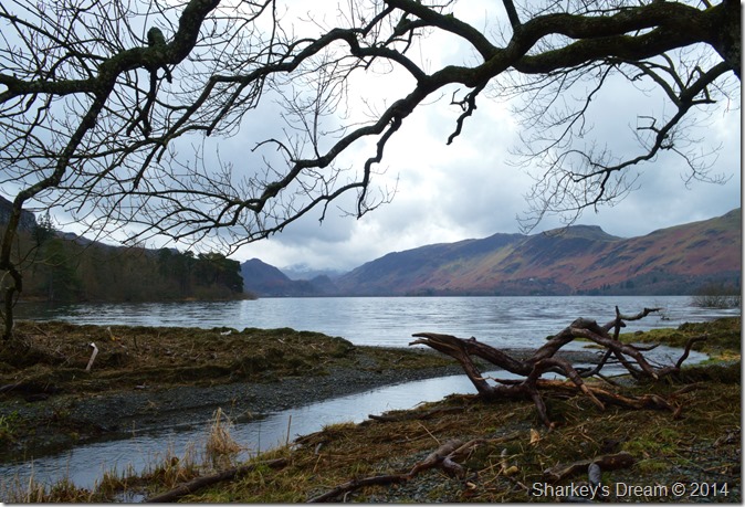
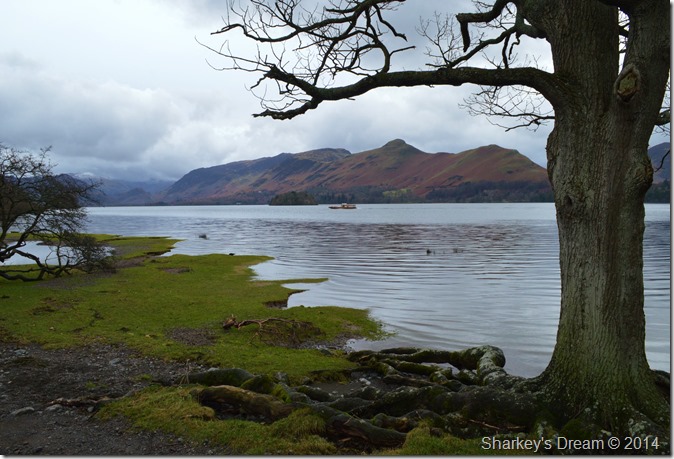
| Cat Bells & Maiden Moor seen across Derwent Water from Calfclose Bay. |
| The evidence of the floods here over Christmas lay everywhere as debris scattered the shoreline up to twenty feet behind us, in some case trees that were then underwater still carried the water mark as debris still clung to their branches. |
 |
| The waterline can be seen after leaving debris behind. |
| |
 |
| Lots of dead/drift wood still lying around. |
| |
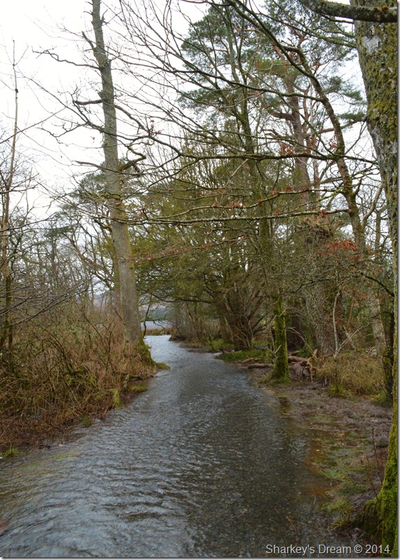 |
| We didn’t expect to see this. |
| A good section of the path in between Calfclose Bay & Strandshag Bay was under feet of water giving us no option than to wade through. |
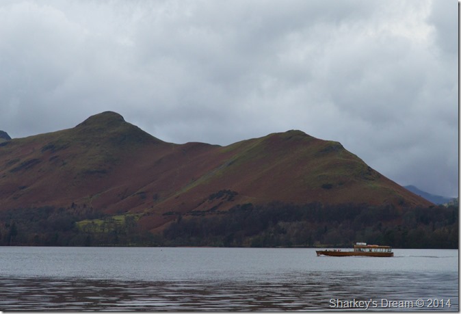 |
| Cat Bells seen over Derwent Water as a Launch passes by. |
| Clearly the tourist’s aren’t too put off by the bad spell. |
 |
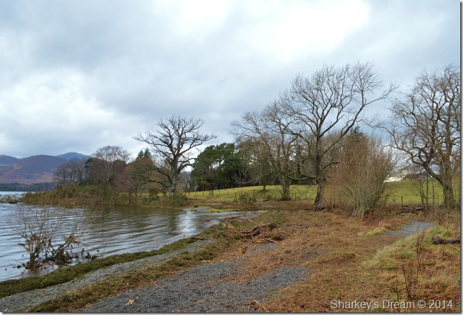
| Cat Bells & Maiden Moor from Strandshag Bay, more flooding evident here. |
| |
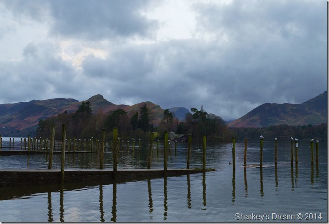 |
| After a short walk we soon arrived at the Keswick Landing Stages, here tourist’s walked about happily taking in the last of the daylight before no doubt retreating back to their cars. |
| Keswick is still a wonderful place to find yourself even in the depths of winter. |
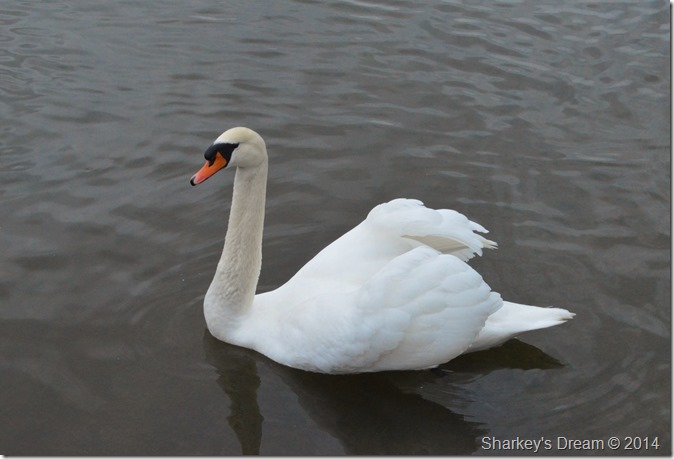 |
| Derwent Swan. |
| |
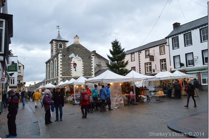 |
| The smell of hot food tempts at Keswick Christmas markets. |
| To be honest we both could have done with a jet wash before walking through the town centre, David & I got the odd look which was understandable looking like we’ve both been living in the under growth for the past month. |
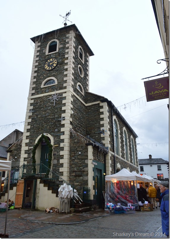 |
| Moot Hall, Keswick. |
Daylight was drawing in on this January afternoon, lights glowed leaving a lovely wintery atmosphere around the town.
As we passed through the town boots soiled in water & waterproofs upto the knees in mud its walks, & indeed days like these that get remembered, we could have easily called the walk off after High Rigg but then we saw light-literally! and persevered on which shows not just the character in the walkers but just for the plain love of walking & fell walking.
What a marvellous walk to start 2014 |
|
| |
| Back to top |
 |
|