|
A day of two halves on The Howgill Fells |
 |
 |
8th March 2014 |
 |
|
At one time before the invention of the camera people would go out to fell walk & explore the British National Parks armed with only their sandwiches wrapped up no doubt with the wrapper the bread left the bakery in – then stuffed into a heavy duty ruck sack whereupon they would heave themselves up a near vertical hill still sweating out the remnants of last nights eight pints.
See – I don’t know anything else than the digital age, I have always carried a camera even long before I started my blog, the imagines you take are your take-away memories but it wasn’t always like that, I wish I knew what it was like to get up & throw my pack over my shoulder then climb throughout the best part of the day & be home just in time for Sunday tea without feeling the need to point & shoot.
I simply couldn’t do it.
Days like that are long gone, for the best part of us anyway, I mean who could seriously go out for a walk & leave your camera behind? It’s nothing to be ashamed about we all do it, we are the next generation & we like to share, it’s what we do, it’s what I do. I remember speaking to David Hall a couple of months ago & I was fascinated when I found out that David had done a couple of walks over Christmas un-recorded & without his camera, I guess David wanted to test the water so to speak, to see how it felt but me? I had a bloody gulp in my throat because I don’t think I could have done it, I have always wanted to record my visits to the fells but there are certain times when I think, how can I portray this through my keyboard in a sense that people will understand what I am feeling in my own words & through my own eyes.
I like to think when I walk & luckily enough I like to think about my walking so effectively I’m killing two birds with one stone, should you see a guy talking to himself while out fell walking then chances are, it’s most probably me, without delving too deep into things it’s possibly the reason why I have adapted so much to walking alone, because when I walk I lose myself in my surroundings & my senses overcome me, the result of that is this here website (which can be a good or bad thing!)
So, there’s bugger all chances of me going away anytime soon I guess.
This walk is dedicated to those old timers, or even the new timers who walk camera-less with just their thoughts who couldn’t give a toss about about sharing, memories are personal to some people & no amount of photos could ever replace them, it’s what’s inside that counts because half the time who’s going to know your emotions when set upon a ridge whilst down in mist, not the camera, it’s down to the individual & nothing can take something like that away. |
|
Wainwright Guidebook |
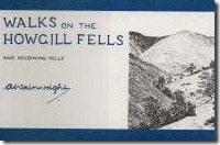 |
| Walks OnThe Howgill Fells |
-The Howgill Fells
In one respect – in the magnificence of the views – the Howgills win first prize. Here you have the best of both worlds: uninterrupted views of Lakeland’s fine mountains; a glittering seascape; fifty miles of the Pennine skyline; a vista of the limestone peaks of Yorkshire. From the highest point, The Calf, the distant scene is unexcelled. There is not a more extensive panorama in England than this. And all that is seen is fair to look upon. |
 |
|
| |
|
Overview |
|
|
| Ascent: |
2,800 Feet, 854 Meters |
| Summits: |
6, Winder – Arant Haw – Calders – Bram Rigg Top The Calf – Fell Head |
| Weather: |
Overcast With Low Cloud Throughout The Morning. Turning Brighter With Cloud Lifting During The Afternoon. Highs Of 13°C Lows Of 9°C |
| Parking: |
Holy Trinity Church, Ing Lane (SD 633 629) |
| Area: |
Yorkshire Dales National Park |
| Miles: |
11.9 |
| Walking With: |
On My Own |
| Ordnance Survey: |
OL19 |
| Time Taken: |
5 Hours |
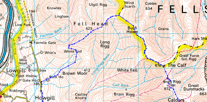
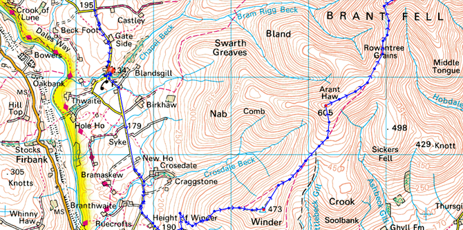
| Route: |
Holy Trinity Church – Howgill Lane – Winder – Arant Haw – Rowantree Grains –Calders – Bram Rigg Top – The Calf – White Fell Head – Bush How – Breaks Head – Fell Head – Beck House – Howgill Lane – Holy Trinity Church |
|
| |
|
Map and Photo Gallery |
|
|
  |
| |
| |
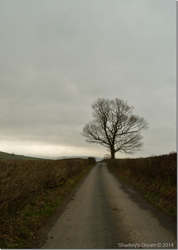 |
| Howgill Lane 10:52am 9°C |
Todays walk had me at a late start on account of the 40th Birthday festivities that I had attended the previous night, I limited my intake, sorry I’m a such bad liar… I had a few too many which saw me sleep in & awaken at a much more appropriate hour.
My intentions where to pay a visit to the Back O’ Blencathra or indeed the Uldale fells where hopefully I would arrive when the forecasted showers had subsided.
An hour into my drive north I remembered that I had penned a walk on the Howgill Fells sometime before Christmas, don’t get me wrong this walk hadn’t been forgotten about, on the contrary, it was just a case of when the weather was right, which as you know… had never been right.
As Jct 37 approached ever closer I had to make the snap decision whether to turn off or not, visibility at Jct 37 was good & in the distance I could see the summits of the fells I would be walking on which kinda surmised my walking plans for the day.
The Howgills it was.
I took in the narrow lanes sometimes having to reverse back to the passing spots to let on-coming traffic pass, soon after I reached Howgill & Trinity Church where I let myself through the iron gate as it screeched loudly over metal on metal as the pull handle slid backwards.
The air was a little muggy as I took delight in kitting up in my own time, a couple of cars over a group of walkers where getting themselves ready as we shared the ‘morning nod’
With this I slid my foot into my boots which had a little dampness still left in them from my Red Screes excursion just last week, my right foot suffered the dampest. bloody hell I moaned.
I returned to the gate this time giving the handle a good twist & tug at the same time, loudly I let myself through although I did fear I’d just about woken half of North Yorkshire up. |
 |
| |
| |
 |
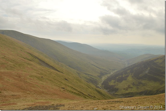
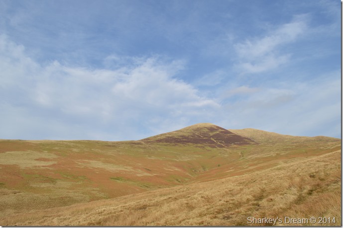
| Winder seen from Howgill Lane. |
Winder would be my first summit & is still a good mile away as I continue to take in Howgill Lane, here the light is low & at times a few spots of rain which thankfully don’t amount to much.
Sadly I pass a dead Badger most possibly hit by a car the previous night, the animal is full grown much larger than a terrier dog, I tell myself not to look but I did & the poor animals face told it all. |
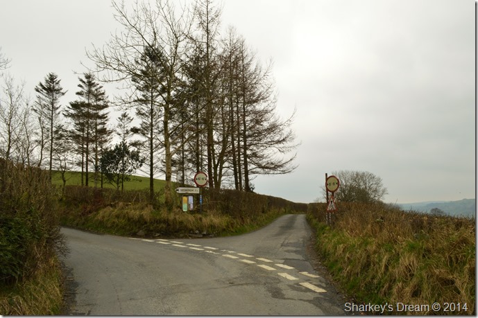 |
| Howgill Lane at the junction with Slacks Lane. |
I bear left sign posted Sedbergh & head up a steep gradient where I would soon pick up the track for Winder.
Incidentally, Slacks Lane seen here on the right is the same road I used earlier, should you drive anything wider than 6ft I really wouldn’t recommend using it unless you are exceptionally good at reversing around tight corners. |
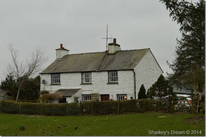 |
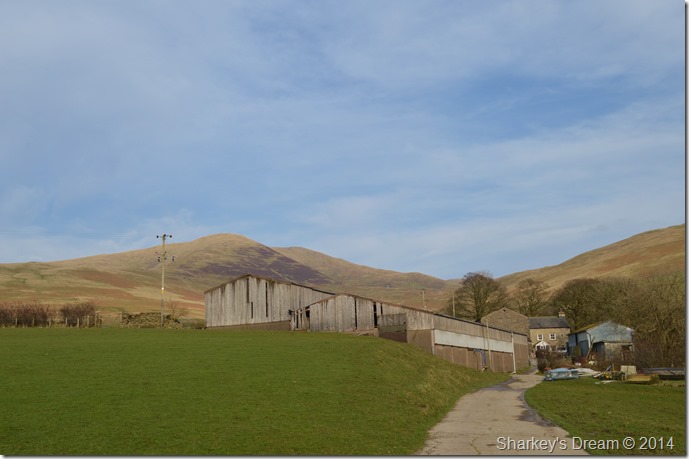
| Height of Winder Cottage. |
| The ladder left perched on the roof no doubt to adjust the TV aerial tickled me a little, a wonderful cottage no less. |
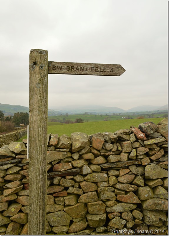 |
| Brant Fell. |
| Shortly after passing Height of Winder Cottage I hooked a left at this wooden signpost. The track here is used by both the farmers & fell walkers so you can guess it was a little muddy underfoot, after passing through a gate located at the end of the track are you presented with open fell side, it was here I would encounter a fight with the wind. |
 |
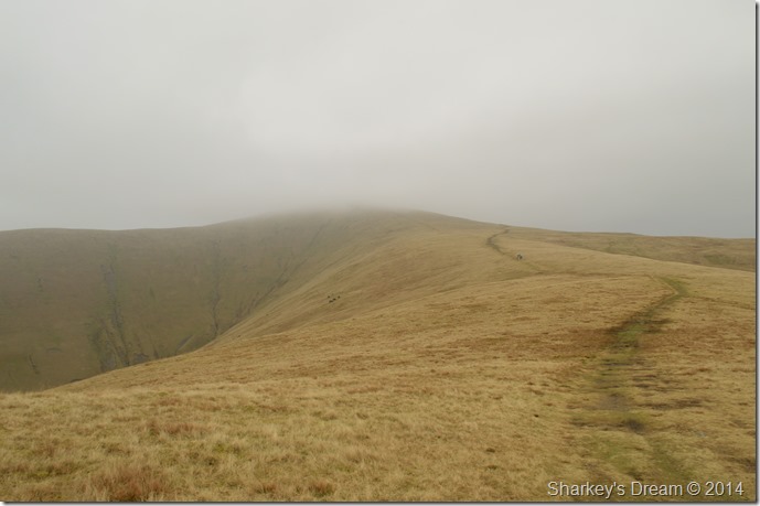
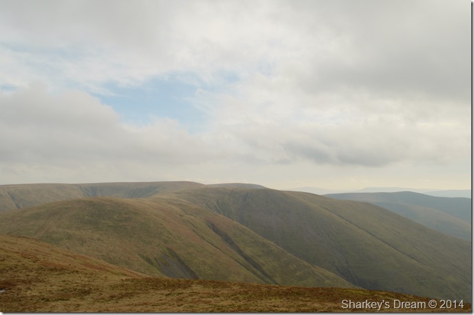
| Arant Haw seen shortly before reaching Winder’s summit. |
| The fell walkers seen in the photo are the same guys who kitted up back at Holy Trinity Church, I’m not to sure why they flanked Winder as a summit, my only answer was because they wanted to shield themselves from the strengthening wind. Good idea, still, I press on. |
 |
| Arant Haw seen from Winder summit Trig Point. |
My ascent was difficult as standing up was proving somewhat difficult, while at the summit I down pack to add layers, although the wind was strong it wasn’t too cold yet in saying this, I didn’t fancy adding layers further into my walk where the wind could of been stronger only adding difficulties in layering up.
I opt for my hat & gloves at this point, then I tie my hood down tight over my hat leaving me feeling as snug as a bug, if only my eyes & nose could stop streaming… |
 |
| Arant Haw seen shortly after leaving Winder. |
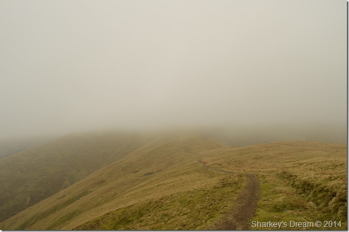
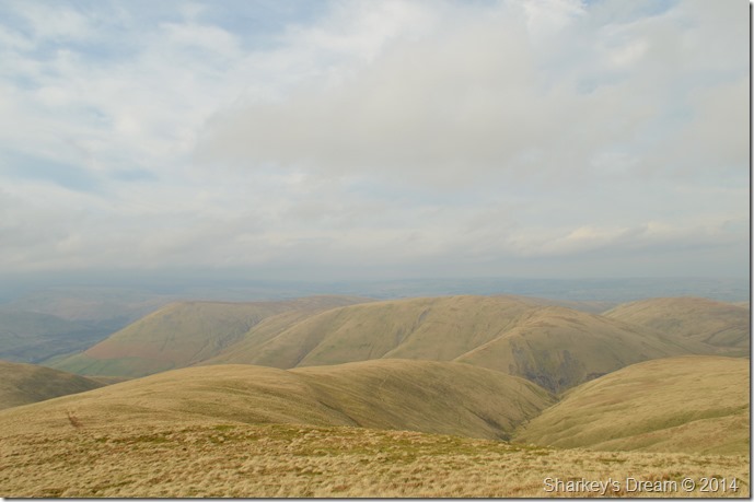
These interconnecting ridges are what first attracted me to these particular Howgill Fells & are amongst my favourite ridge walks.
The guys from the previous photos have pressed on ahead but I will catch them up a little later, the little black dots seen in the photo are in actual fact Fell Ponies, sadly they wandered out of shot as I took in the ridge. |
 |
| Arant Haw. |
| Here I leave the comfort of the ridge path to make a more direct ascent on Arant Haw, for now I have visibility which sadly doesn’t last with the more height gained. Oddly enough… The wind drops to almost nothing which makes the ascent a little less tiring than my previous one. |
 |
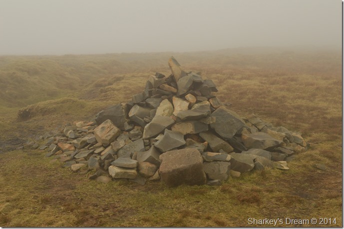
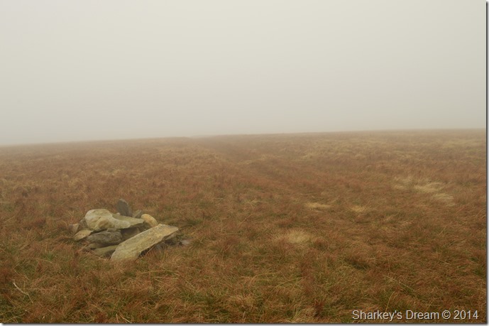
| Arant Haw summit cairn. |
The last pull towards the summit was surprisingly steep & not how I had remembered it from my previous summit back in November 2011.
There was also no getting away from the fact that I was also losing my views. |
 |
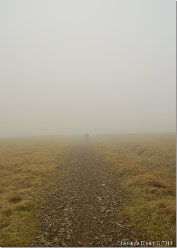
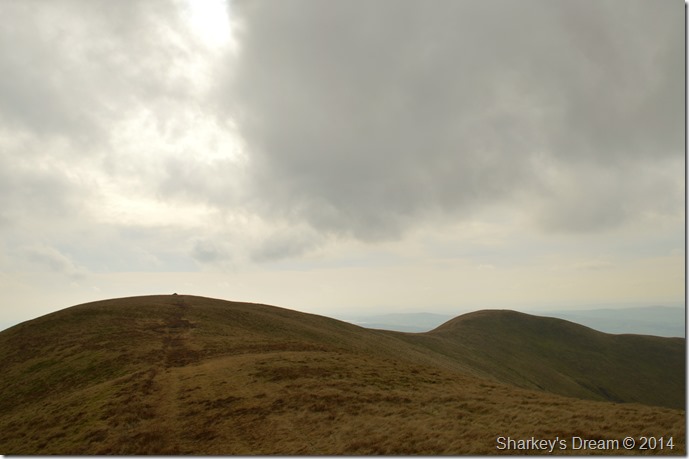
| Alone with my thoughts. |
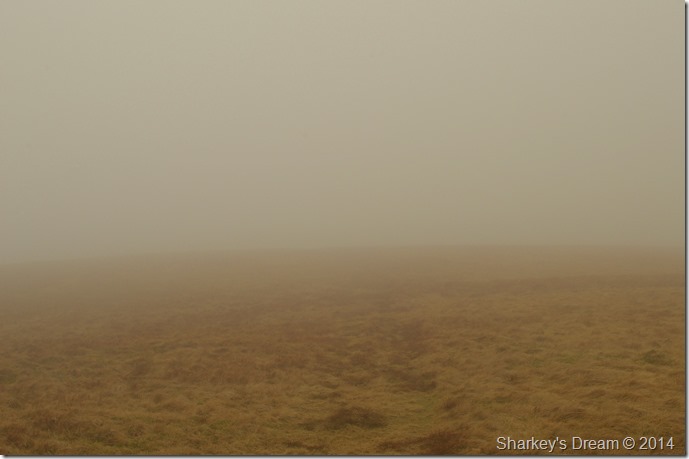
I drifted across the summit plateau as I followed a faint path etched through time, I check my position making sure I am heading into the right direction as a calmness over comes me.
If there where any stones along this summit top right now I’d be kicking them kid like, but there isn’t any so I soak it all in making sure not to stray too much of the path. |
 |
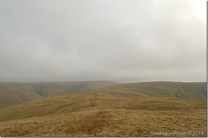
| A brief break in the cloud reveals Rowantree Gains after joining back up with the main ridge path. |
| Ahead Calders summit is under a thick coating of cloud which drifts across the ridge sometimes obscuring my whole crossing. |
 |
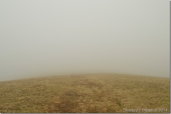
| Ascent on Calders. |
| After crossing Rowantree Gains it was time to climb into the cloud again, the wind had picked up a little but nothing compared to how strong it was during the ascent on Winder not an hour ago, here the ascent turns from grass to stone with a sharp right turn in the path shortly before reaching the summit. |
 |
| Calders summit cairn. |
| The solitary location of Great Dummacks lies less than half a mile west of Calders, on previous occasions I wouldn’t have any problem in leaving the ridge for Great Dummacks, today however, I figure it best to stick to the main path & continue towards Bram Rigg Top where I enjoy the little descent after leaving Calders. |
 |
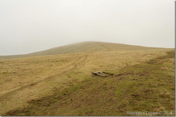
| Heading for Bram Rigg Top. |
After leaving Calders I kept with the main ridge path for a short time while remembering to look out for a small cairn indicating a faint narrow grassy path that would lead me to Bram Rigg Top, this caused a little confusion at first as I thought maybe I had passed the cairn, my confusion was settled as I reached the point where evidence of a minor path lead away from the main ridge path, I looked closely along the main path just to see if I could spot the stone marker cairn but sadly couldn’t see it. I can only think that the cairn is no longer there or I had walked right passed it which seemed strange seeing as I was looking out for it.
Oh well, nah bother. |
 |
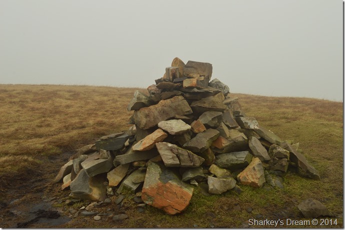
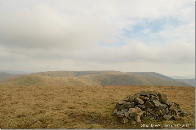
| Bram Rigg Top summit cairn. |
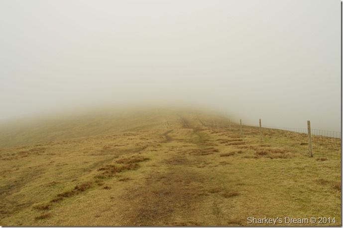
With the summit shrouded in cloud I made a little navigational error in continuing with the faint path seen in the photo, after a matter of minutes I realised that I was heading for Bram Rigg & indeed the ridge back towards Howgill.
I soon realised my mistake & back-trod a hundred feet or so, then headed north east a little where upon I would pick up the main ridge path again. |
 |
| Back on the path once more. |
| I pass a walker heading in the opposite direction towards Calders in what seemed like a hurry, we still managed to pass on our good mornings even though it was well past midday. |
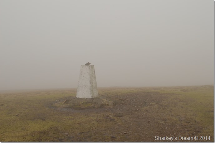 |
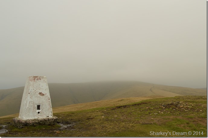
| The Calf summit trig point. |
The Calf was reached shortly after a slight pull from the main ridge path, it was here I noticed that the wind had picked up quite notably as my right was starting to do exactly what the wind was telling it to do!
Best not hang around. |
 |
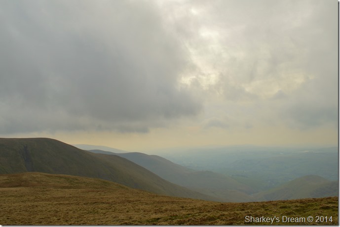
| Bush Howe opens up ahead as it seems the cloud is starting to lift a little. |
My walked changed from this point onwards as slowly but surely the cloud began to lift opening up vistas of my surroundings, I stop a while to watch the event unfold taking in all the directions then before I knew it, I was cloud free.
A strange yet satisfying feeling ensues. |
 |
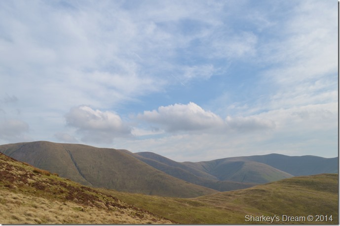
| Here, looking back at a cloudless ridge towards The Calf & beyond, Calders. |
| |
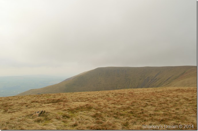 |
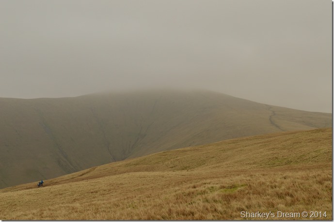
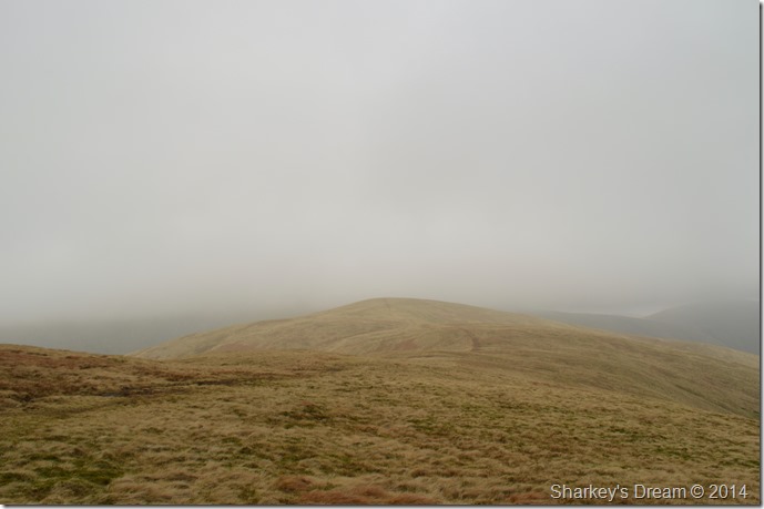
| Fell Head seen from Bush Howe summit. |
Fell Head is my last summit of this ridge walk, I feel I have been teased by mother nature in allowing me the visibility right at the end of my walk.
I guess I have to get the camera out again & see what I can make of my new surroundings! |
 |
| Here looking east towards Cobles (right) together with Wind Scarth (left) The West Fell ridge can be seen in the background. |
| |
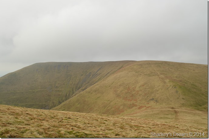 |
| Fell Head from Windscarth Wyke. |
| I think if the Howgill can have its own Windy Gap Windscarth Wyke would be it. The ascent/descent is much more steeper than it looks, or it could just be that the tired legs were beginning to kick in. |
 |
| The White Fell ridge seen descending towards Long Rigg Beck. |
| |
 |
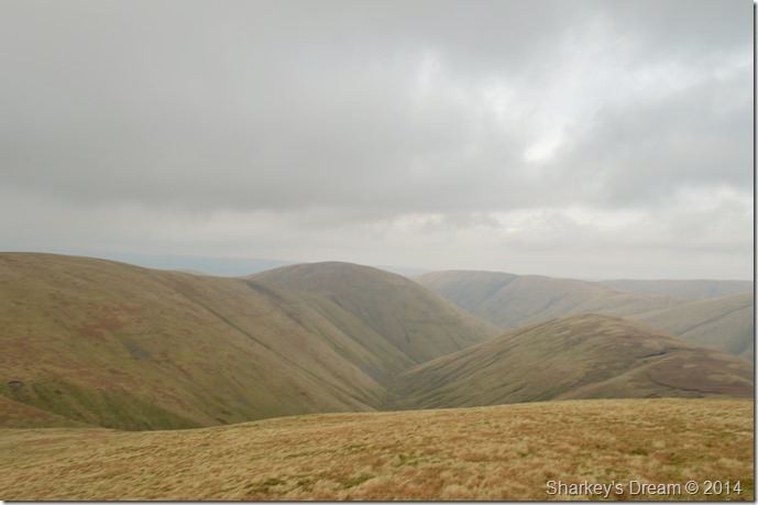
| Here looking back along the ridge from Breaks Head (Fell Head) towards Bush Howe, The Calf, Calders, Arant Haw & a distant Winder. |
| I feel pretty blessed that I am able to see the summits I have just climbed, after all I don’t walk these fells as often as I do the Lakeland fells. |
 |
| Approaching Fell Head summit (foreground) |
| |
 |
| My ridge route seen from Fell Head summit cairn. |
| By the time I reached Fell Head not only had I lost the cloud it was really starting to heat up so despite the wind I lose a few layers & make my way over to Fell Head secondary summit under a warm sun & blue skies. |
 |
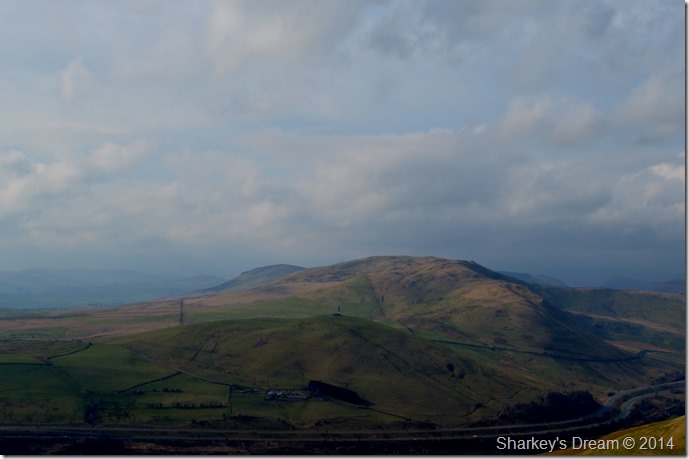
| Distant views of Blease Fell & Uldale Head seen just before I prepare to lose some descent. |
| |
 |
| Descending Fell Head for Whins End. |
| It’s a pretty steep descent but thankfully the ground underfoot is dry, the ridge isn’t descended all the way as I make a left where the ridge evens out. The path here passes through Beck Houses Gate & is pretty easy to follow. |
 |
| My last view of The Calf, Calders & Arant Haw before I drop into the valley below. |
| |
 |
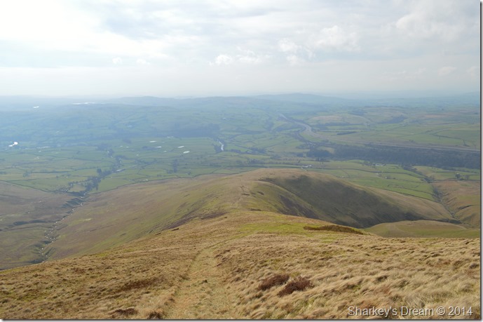
| The Whinfell Ridge seen across the M6 Motorway. |
| |
 |
| Fell Head. |
The skies were turning more like spring with every step & so too was the warmth from the sun which by now beamed down from an almost cloudless sky.
What a contrast to my last few hours when I couldn’t see a matter of feet in every direction. |
 |
| Fell Head (left) & Brown Moor (right) seen from Beck House Farm. |
| |
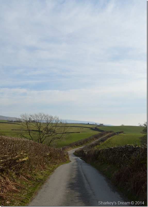 |
| Howgill Lane. |
It’s difficult to put this walk into perspective, while my senses went into overload during my time spent in low cloud which all of sudden came to an abrupt stop… dare I say I was quite enjoying that cloud & all that it brought me.
As for the camera of course I couldn’t put it down, each shot recorded in memory, some of which just don’t do the walk any justice at all. |
|
| |
| Back to top |
 |
|