 |
The Crookdale Horseshoe |
 |
 |
21st March 2014 |
 |
|
Today’s walk saw me at the mercy of a weather forecast again, that & the fact that The Crookdale Horseshoe together with The Bannisdale Horseshoe had been on the books for the last couple of years so I guess you can say today’s walk is a little overdue.
I booked a day off work to do some fell walking which would then lead me into a couple of days into the weekend to spend some quality family time & to hopefully get round to some chores that I had been meaning to do i.e. tidying up the garden…you know what I mean, Springy time stuff.
I got pretty excited about this route a couple of days prior because it meant I would be able to traverse a path that I hold in biblical high regard on the Lakeland fells, it’s a mile of heaven but we’ll get to that later because my biblical proportions didn’t turn out quite the way I would have liked them to.
I’m not too sure why of late I have been setting a trend on the solitary of summits, perhaps these walks reflect my moods I’m not sure, after all, I choose to walk with the weather as do most, but I must admit these lonely valleys have been appealing these last few weeks. I guess what I want to say is don’t despair, I’ve not gone off my rocker I just want to explore new, more desolate places & now that I have I can confirm that although I loved my time in the loneliest of valleys normal Lakeland services will resume & so too will a couple of plans I have for the fells during the summer of 2014.
Before you read the blog I would like to touch on the subject of wind, because it featured very highly from leaving the car to returning to it almost 6 hours later. Of course I had observed the forecast as I normally do, which was just another reason why I stuck below 600 meters for almost the entire walk as I figured I’d be walking below any snow or hail showers.
I couldn’t have been more wrong, so much so I almost called the walk off after reaching my first summit.
Have a read on to see how I got on with the rest. |
|
Wainwright Guidebook |
 |
| The Outlying Fells |
-Crookdale
All is grass, and most of it is wet grass. Yet Crookdale has a certain beauty, the beauty of desolation, when the western sun burnishes its miles of prairie. A few sheep are the only signs of life; there is sluggish movement in the beck. This is a valley without habitation and the loneliest in the National Park. |
 |
|
| |
|
Overview |
|
|
| Ascent: |
2,877 Feet – 877 Meters |
| Summits Visited |
9, High House Bank – Robin Hood – Lord’s Seat – Buck Crags – Harrop Pike – Great Yarlside – Wasdale Pike – Little Yarlside – Whatshaw Common |
| Weather: |
Wintery Sleet/Snow Showers Am, High Gust Up to 60mph – Turning Brighter With Sunny Spells – Highs Of 11°C Lows Of 7°C |
| Parking: |
Hause Foot – Crookdale Bridge |
| Area: |
Far Eastern/Outlying Fells |
| Miles: |
9.5 |
| Walking With: |
On My Own |
| Ordnance Survey: |
OL7 |
| Time Taken: |
6 Hours |
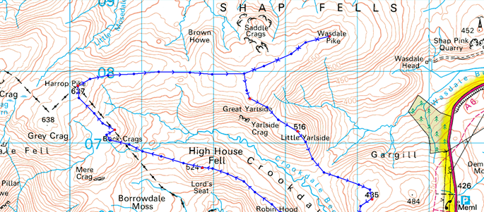
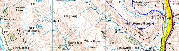
| Route: |
Hause Foot – Crookdale Bridge – High House Bank – Robin Hood – Lord’s Seat – Buck Crags – Harrop Pike – Great Yarlside – Wasdale Pike – Little Yarlside – Wasdale Mouth – Whatshaw Common – Crookdale Beck – Crookdale Bridge |
|
| |
|
Map and Photo Gallery |
|
|
  |
| |
| |
 |
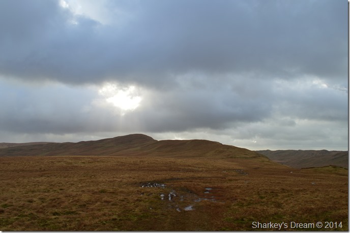
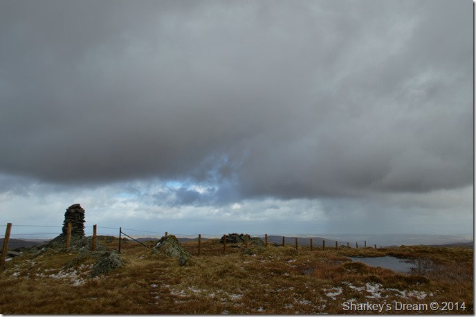
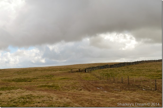
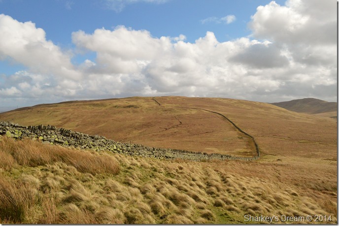
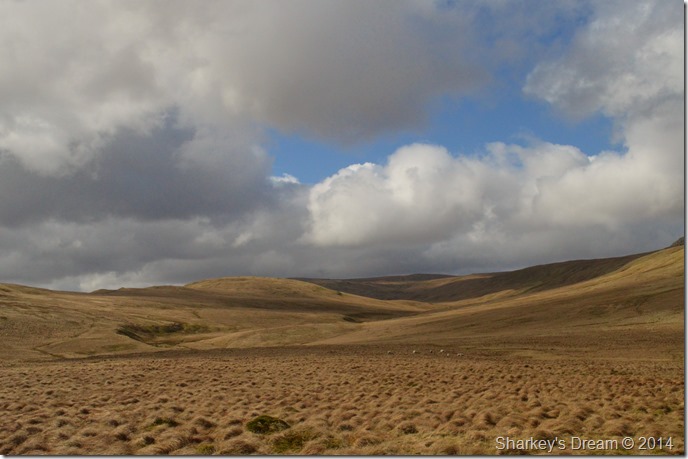
| Crookdale Bridge 08:03 7°C |
I had already committed to Borrowdale along the twisting lanes of the Shap Road (A6) when the first of the showers arrived, I paid them no attention as I knew a few wintery showers were on the cards. My drive north took me off the M6 at Jct 36 where I then drove through Kendal & its adjoining satellite villages.
I left the A6 for Hause Foot along a narrow lane filled with flocks of sleeping sheep, approached carefully as I know Lambing season is upon us as these once docile creatures can have a nasty turn this time of year.
I make it through & continue along the lane passing over cattle grids disturbing the silence in doing so.
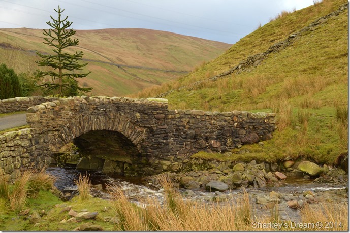
I wasn’t completely sure where to leave the car seeing as I hadn’t been here before so I drove right up to Crookdale Bridge with its idyllic Farm House nestled beside, no room to leave the car here.
With this I stuck the car in reverse & carefully winded backwards up the narrow track where I found a couple of ‘good spots’ to leave the car on a grassy embankment, the first of which I felt the car sink a little so I moved a little further up the track where I was assured of firmer ground.
Kitting up was done as quickly as possible if not only to add layers as right from the start the wind had a cold nip to it, this I first found out as I bent down to tie my boot laces when a sudden gust sent my mid-layer half way up my back.
Hat & gloves were added.
I traced my steps back to Hause Foot & Crookdale Bridge where I took a couple of photos & had a look at the Farm House, had it not been for the carefully manicured lawns & the car round the back I would go so far to say, the place looked unabated.
There was no first visual route up the fell side from Crookdale Bridge so I followed the beck for about 50 yards only having to go back after spotting a path by a row of British Gas wooden stakes routed into the hillside, besides of which lay a said grassy path, in turn I had to ‘double back’ along the beck when somehow I managed to submerge my feet in freezing bog water, not the best start before setting onto fell side.
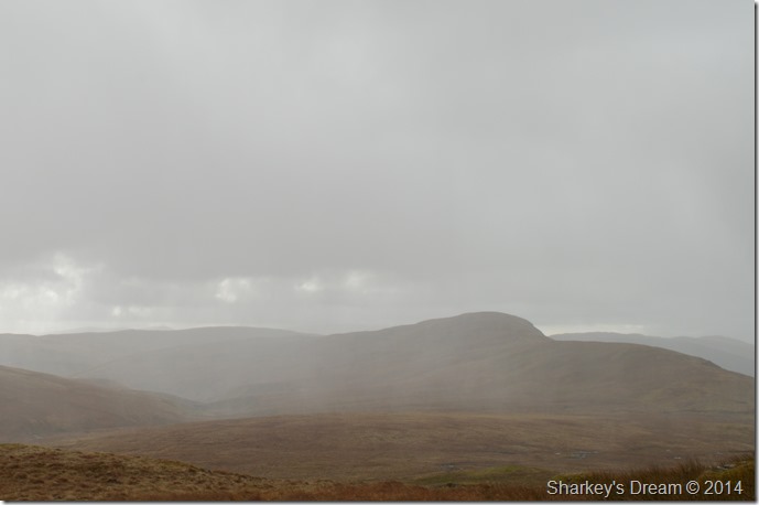
Besides wet feet, here came the first of many rain showers during todays walk, this one was more prolonged than a shower & gave all my gear a good waterproof test.
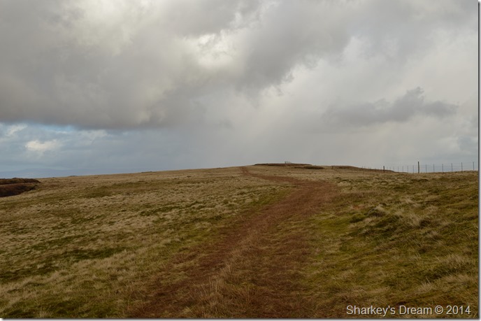
The rain wicked of my peak as I stared at my boots for this, my first ascent of the day, the sky had gone black & all I could hear was the rain pelting my hood & jacket.
Not the best of starts, but I remained optimistic & continued with my climb until the path teetered out into no more than Moorland awash with grassy hummocks & underlying water.
I still had good visibility so here I made for the highest point crossing the hummocks which weren’t at this point causing any issues.
I made for the summit. |
 |
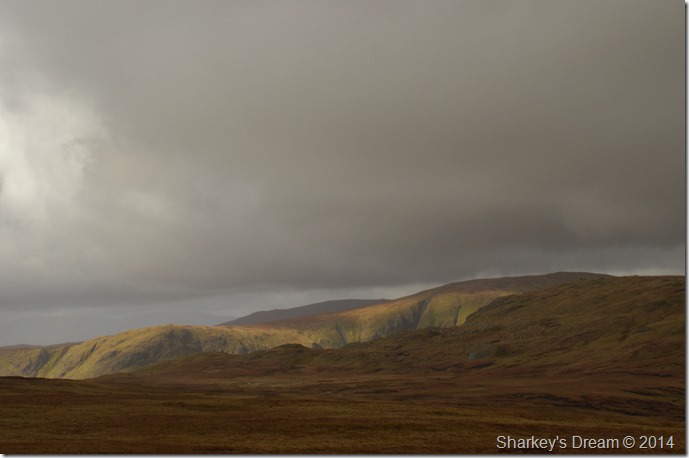
| Borrowdale (not as famous as its counterpart bearing the same name) |
| |
 |
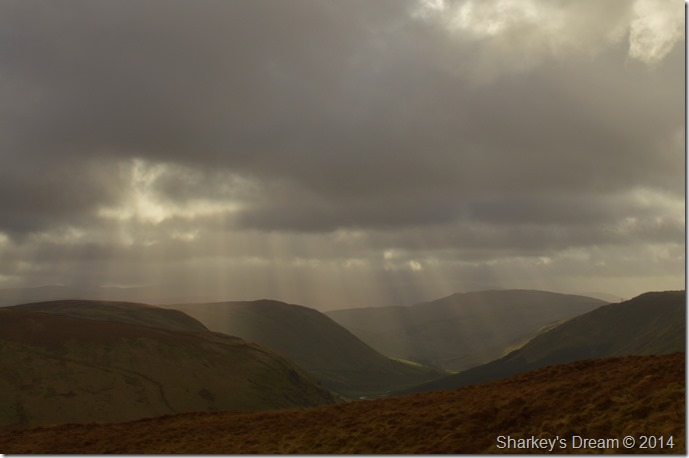
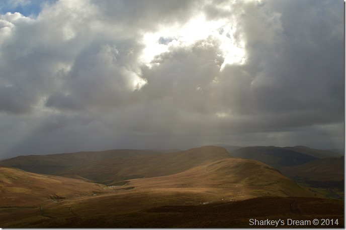
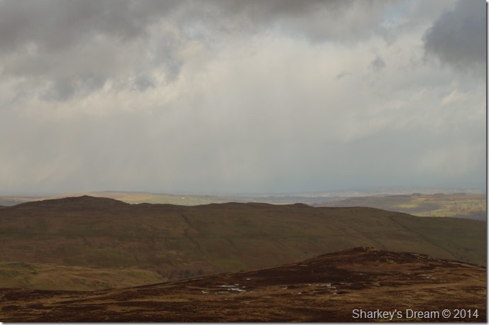
| Borrowdale as seen from High House Bank summit cairn. |
My first wake up call regarding the wind came at my first summit. Although the rain had now stopped (briefly) I found the wind incredibly strong, so much so I struggled to stand & hold my camera at the same time, drastic measures were needed…quickly!
High House Bank sits at an altitude of 495 meters (1,624 ft) my thoughts turned to… if the wind is so strong here what & how strong will it be further along the ridge…could I stand 6 hours of this was also on my mind.
There are many turn back routes on & off the ridge which were all considered, my next step was to give the second summit a go ‘Robin Hood’ situated just over a mile ahead.
During my ‘dramatic measures thinking time’ along came the next band of rain only this time, it had a nice mixture of sleet in it.
I retreat down the summit a little & shielded myself from the driving rain & sleet powered by 50mph plus winds.
I simply cannot believe at this height I am shielding myself from mother nature & all she had to throw at me.
I sat the sleet shower out, or rather lay it out as mentioned. I down pack & take out my sunglasses if only to protect my eyes from the driving sleet & a whipping from any loose straps from my pack.
After the shower had passed the sun returned briefly igniting the ridge ahead in a brilliant afterglow. |
 |
| Robin Hood seen shortly after leaving High House Bank summit. |
During this brief respite I tried to forget the wind & how it was affecting my forward motion as by now all my legs wanted to do was go sideways no matter what I told them, no matter the beauty of the ridge ahead the wind sadly was taking up all of my thoughts.
The sunny spell, sadly didn’t last. |
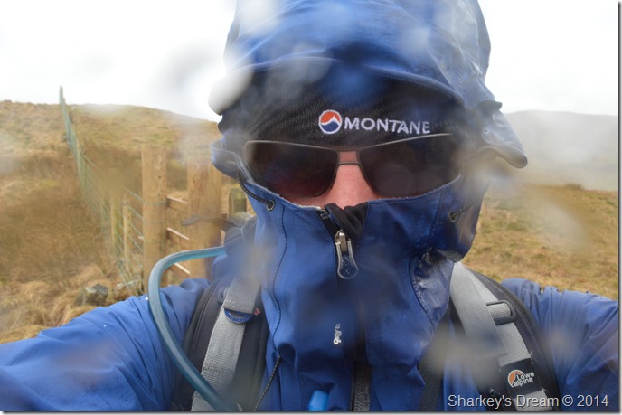 |
| Yes I know I look silly wearing sunglasses in the rain but it was the only way to protect my eyes. |
| Pain is being hit by driving hail on the lips…ouch. |
 |
| Surreal moments spent looking back along the ridge to High House Bank. |
| Wondering when is the next hail shower due! |
 |
| Ahh there it is. |
I wasn’t as lucky as I was with the one before whilst on my ascent on Robin Hood, I managed to seek shelter in a group of carefully placed boulders which made for great shelter as I watched the hail cross the Crookdale valley, there’s a huge difference in being caught out without shelter & having somewhere where you can sit it out.
I guess I over stayed my welcome at those boulders, their shelter being just too comfortable to make a move. |
 |
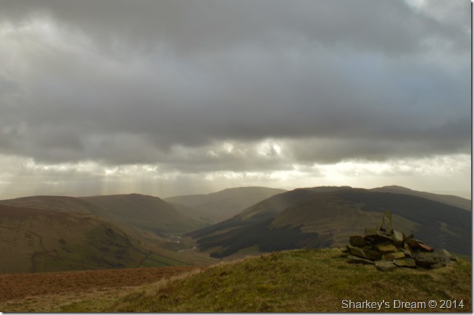
| Borrowdale & High Hause Bank taken from the beacon on Robin Hood summit. |
I had high hopes as the morning progressed the hail showers should fade & all I had to cope with was the wind, which although still menacingly strong I seemed to be getting accustomed too.
‘He says taking photos whilst perched on one knee’
I was reminded of an old photographer friend who had once gave me tips on how to take the perfect shot…here Paul he says, have you ever seen those war movies with snipers? yeah…well do you know that they time a shot with their breathing? erm yeah, me being abit of a shoot-em up buff yes I knew that…
Well Paul, that’s how you take the perfect shot.
Well, seeing as the wind was controlling my breathing & the direction my legs were moving the chances of any perfect shots today was as remote as me winning the lottery! Still, the thought of the story made me chuckle. |
 |
| Found a little further from the beacon is the main summit cairn on Robin Hood. |
| Here the sun offers some wonderful light over both the Crookdale & Borrowdale valleys. |
 |
| Crookdale & High House Bank as seen from Robin Hood. |
| |
 |
| Views east towards Wasdale Pike (L) & the Wasdale valley (not the famous one) |
| |
 |
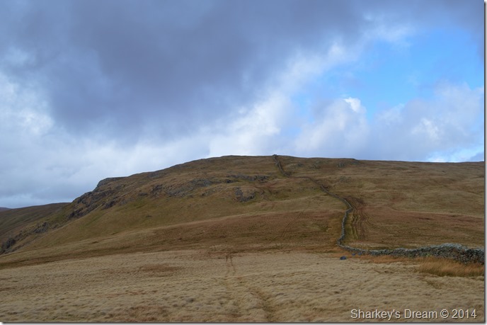
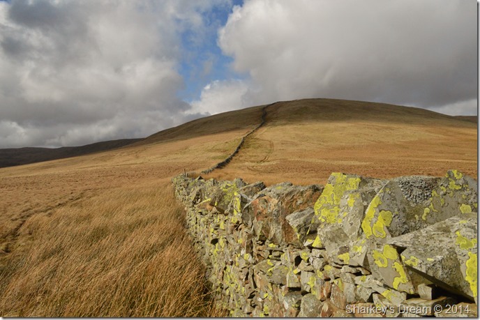
| Approaching Lord’s Seat along the ridge. |
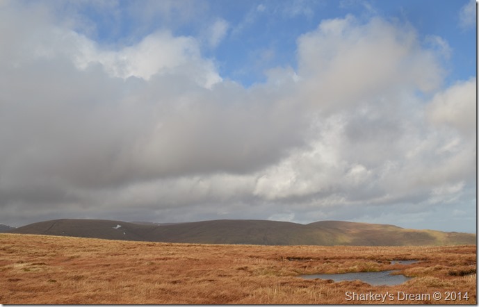
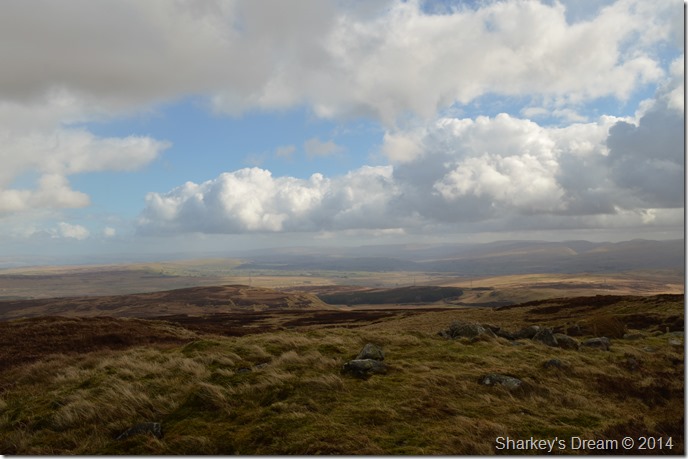
Despite a few threatening showers the wind did a nice job of drying me out each time I got a soaking. As I headed towards my final summit along this ridge the light faded once again so as I had been previously I span around to see if I could see any approaching showers, to my delight I couldn’t see any as it was just that the sun had gone behind the clouds, for now anyway.
Footnote
Walking in high winds can be incredibly tiring both mentally & physically, the physical side of things are much more obvious than the mental side of things as all I seemed to think about was pressing on & looking out for the next hail shower to hit, I was a little saddened that my thoughts had been overcome by the weather & that by now seemed to draining the enjoyment out of the walk.
Back on High House Bank I didn’t think I’d make it this far, which helped heaps with the mental side of things, finding & taking 5 min breathers helped wonders too as I watched the grasses change direction rapidly in the wind, this & the wonderful array of light which at times only lasted seconds can make the difference between venturing on & returning back to the car.
You never know how true & how well your senses work when you take them out of a situation that is overcoming them.
The sound of the birds, the grasses flowing & the light in those time out shelters did wonders for the soul & prepared me to complete the walk. |
 |
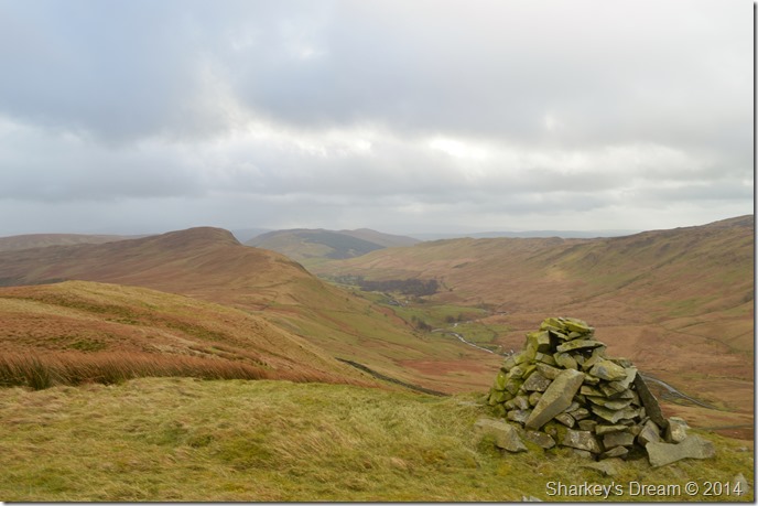
| The Borrowdale valley from Lord’s Seat (no cairn at the summit) |
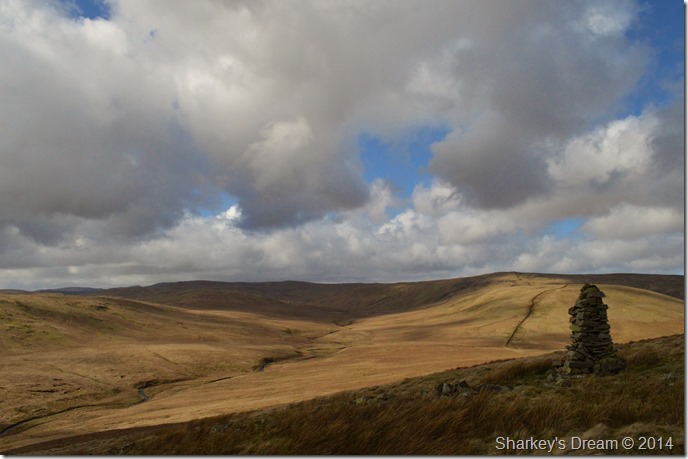
| By the time I reached Lord’s Seat I was at the end of the first initial ridge walk, although the weather had been wild to say the least I was now looking forward to my next summit of Harrop Pike, another favourite Outlier of mine. |
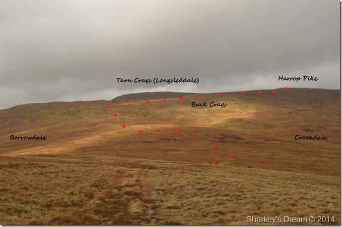 |
| Harrop Pike seen beyond Buck Crags. |
I had been lucky in being able to follow a good path (albeit narrow in places) all the way from my starting point at High House Bank.
Here I am about to lose my path in the descent/ascent on Buck Crags & Harrop Pike, here I have shown my route in red as I found it much easier than to describe my undoubtedly wet & boggy crossing.
The main path lends itself to Tarn Crags so careful attention was needed when to leave the faint path for Buck Crags, here ascent is gained by eye & not path & although it was tricky & extremely wet underfoot the grassy hags weren’t as plentiful & easier negotiated than first thought. The ascent on Buck Crags is mild on the legs making the ascent enjoyable although I gather if not carefully plotted you may end up with very wet feet & equally frustrated. |
 |
| Crookdale from my Buck Crags ascent. |
| |
 |
| Harrop Pike comes into view from Buck Crags. |
Again this is a pathless ascent & without proper visibility, good map reading skills or GPS I wouldn’t want to attempt.
I plot my route over the peat hags & surprisingly make good progress although I fear getting my feet wet at this stage wont make much difference as I have been walking with wet feet since the beginning of the walk, the wet toes however are bitingly cold. |
 |
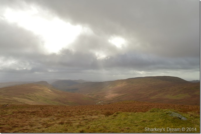
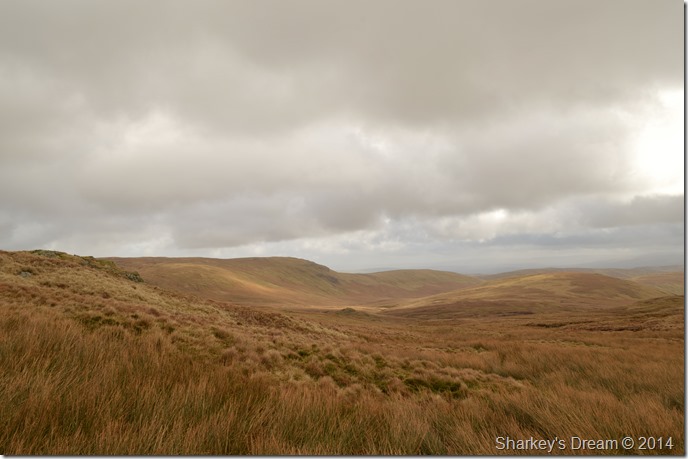
| Great Yarlside (L) together with the Crookdale Valley. |
| I don’t want to suggest just yet that I have seen the last of the Hail showers but I must admit the skies do look promising. |
 |
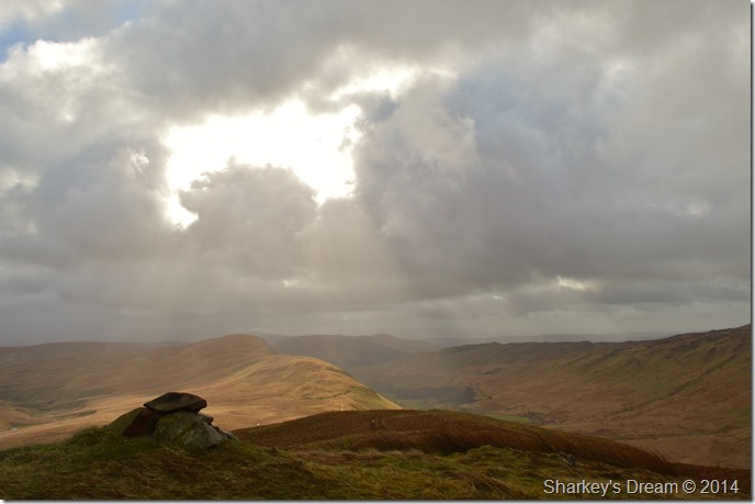
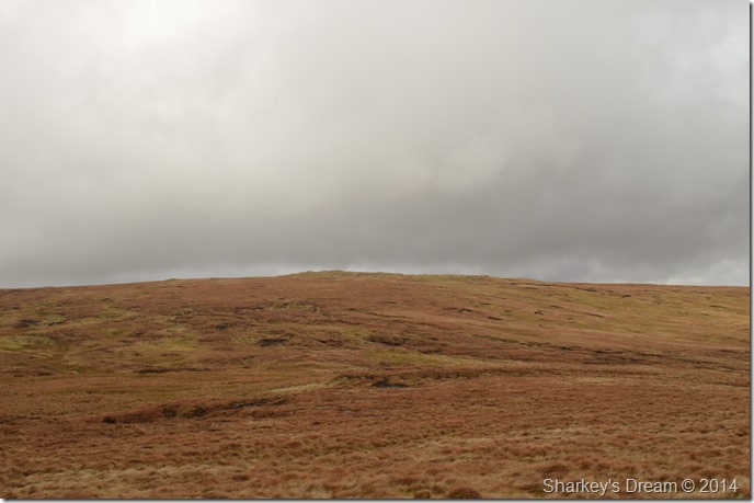
| Harrop Pike summit. |
I arrived at the splendid Harrop Pike summit under more hail (spoke to soon) in which I had to retreat behind more carefully placed boulders, once the hail shower had passed I got up & made my way to the summit.
Wild & windy was the best way to describe my time spent here although I did find the time to take a few photos. |
 |
| Views towards the west. |
Here Tarn Crags (Longsleddale) can be seen in the foreground with Harter Fell (Mardale) directly behind, further down the ridge Kentmere Pike can be seen.
What looks like bog in the foremost foreground is in actual fact Greycrag Tarn (Dry) |
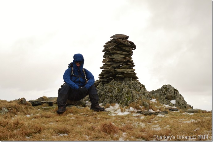 |
| My ‘selfie’ at the impressive summit of Harrop Pike…I do believe, during another hail shower. |
| You know you’re having a good walk when your hats all skew-whiff underneath your hood. |
 |
| It’s looking a little bleak towards Great Yarlside (R) |
If you remember at the beginning of my account I mentioned ‘one of the best miles Lakeland has to offer’ well in my eyes this is just one of them ‘Harrop Pike to Great Yarlside’
However my attention is averted to numbness that my feet are now experiencing due to walking for the last few hours in cold water, my boots are leaking in (only six months old) my last pair of Salomon’s I promise.
With this I take on a jog making sure I bend my toes with each step, it works momentarily yet the time of departing said socks with said boots can’t come soon enough, although I know I am still a few hours away from that precious moment. |
 |
| Great Yarlside bound. |
| With the views clearing I can enjoy one of most favourite paths in Lakeland. Things are definitely turning out well, with this, morale leaps as the sun lights up the grasses along the way. |
 |
| Spoilt for choice. |
| With views beyond the valley of Mosedale (another favourite valley of mine) the far eastern fells appear namely as Branstree (L) & Selside Pike. |
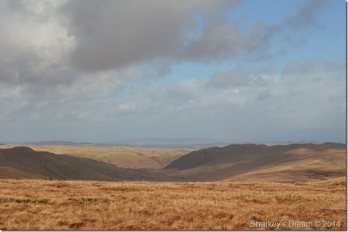 |
| Views towards The Swindale valley. |
| Yes you’ve guessed it’s…another…well you can finish the sentence, all the reason why I favour the far eastern fells above all. |
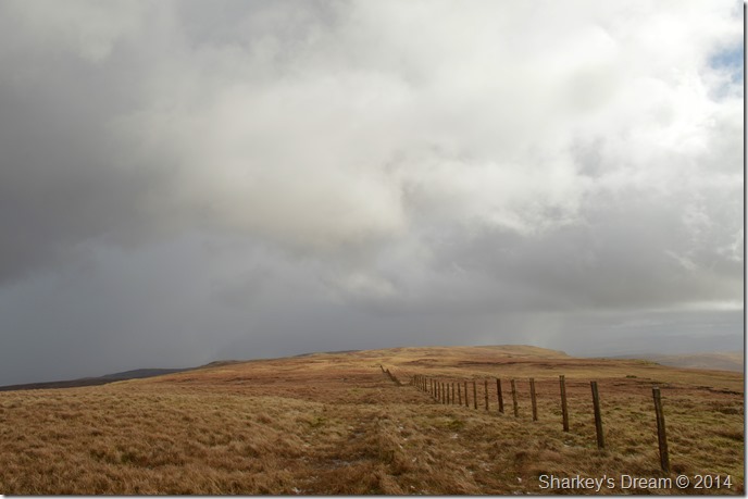
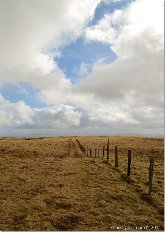 |
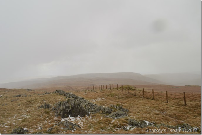
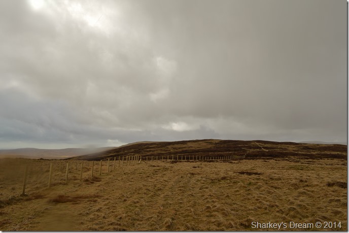
| Just follow the fence. |
| Big skies as I head towards Great Yarlside, did I mention…oh sorry yeah, forgot. |
 |
| A twist in my route appears. |
Upon reaching the wall that will lead you towards the summit of Great Yarlside I make the decision to carry on a further mile to Wasdale Pike, all I have to do is head left & follow my nose.
Footnote
I’ve always found the route towards the summit of Great Yarlside odd, what I mean is the summit is on the right hand side of the wall yet the gate & a very distinctive path is on the left.
No matter, I shall return soon. |
 |
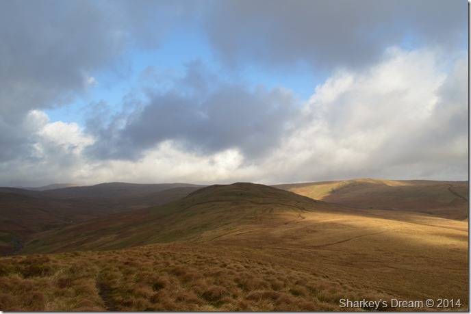
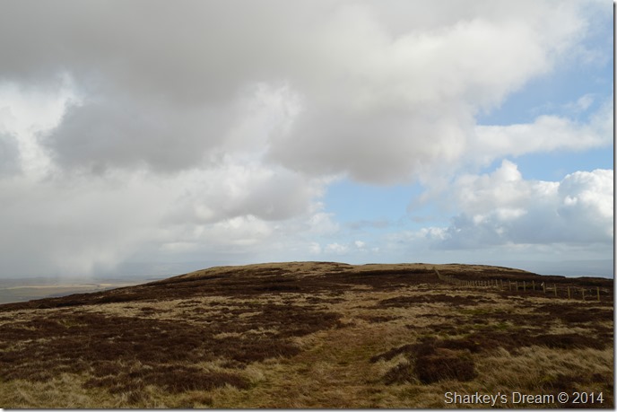
| Once I left Great Yarlside behind it started to cloud over a little, however, I still had that wind for company. |
| |
 |
| Little & Great Saddle Crags seen en-route to Wasdale Pike. |
| |
 |
| Wasdale Pike is just ahead. |
| |
 |
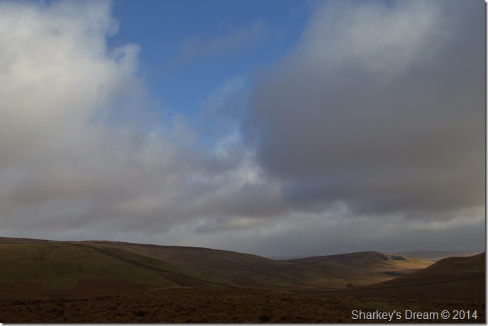
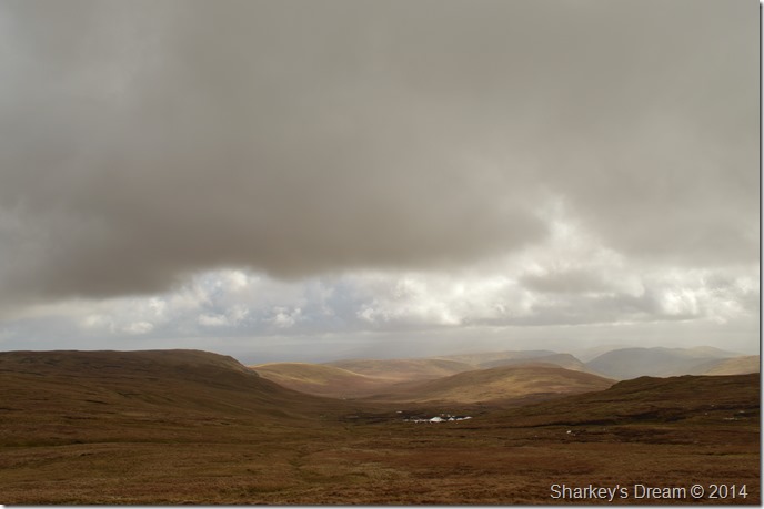
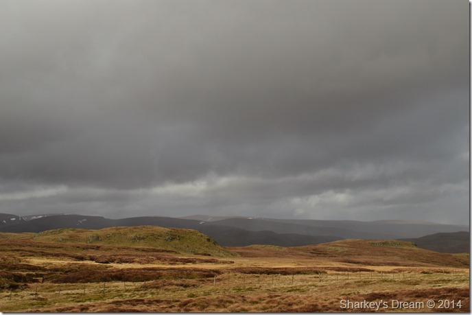
| Darkened skies above the Wet Sleddale fells. |
| Here Seat Robert can be seen on the left of the ridge with Sleddale Pike in the foreground. |
 |
| Views towards the Howgills & Pennines from the summit of Wasdale Pike. |
| |
 |
| Time for the return journey. |
| I’m not too sure why, but it felt much further than the twenty minutes each way that I calculated, so I blamed the wind for that. |
 |
| Arriving back at the wall where I hop over the fence seen on the right. |
| |
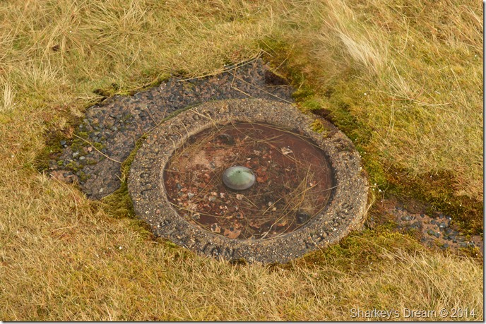 |
| Great Yarlside summit trig point. |
| The distinctive circular trig point found on Great Yarlside’s summit. |
 |
| Superb views into the Crookdale valley from Great Yarlside. |
| |
 |
| Looking back on Great Yarlside with promising blue skies over head. |
| |
 |
| Robin Hood together with Lord’s Seat & Crookdale Beck now under glorious sunshine. |
| The return leg of the horseshoe seems strangely more favourable than the in-bound leg. |
 |
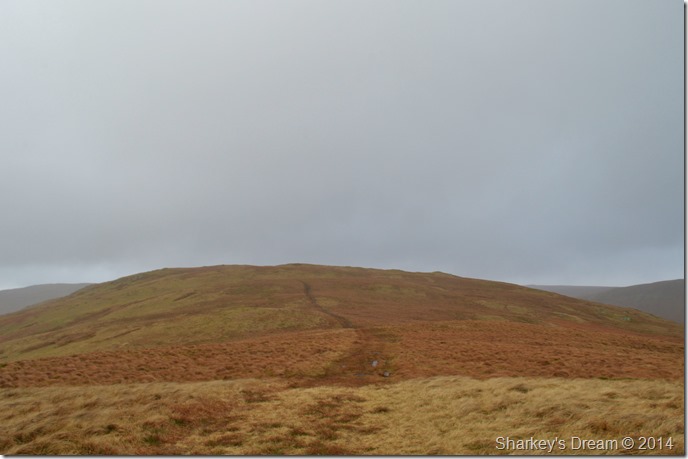
| Whatshaw Common seen from my Little Yarlside descent. |
| I guess it’s too late for what ifs & if only’s. All that is behind me as I take in great delight on crossing Wasdale Mouth towards my last summit of the day. |
 |
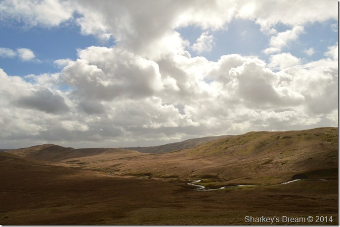
| Desolate Wasdale from Wasdale Mouth. |
| |
 |
| Little Yarlside seen from my lunch spot where I take time out again to… |
| |
 |
| Take another selfie…is two too much in one day? I’ll have to ask Prince Charles & the rest of the red carpet brigade. |
| |
 |
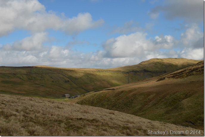
| Crookdale from the start of my Whatshaw Common ascent. |
| The difference over a few hours spent on the Crookdale fells speaks volumes. |
 |
| Crookdale with Great Yarlside nestled behind the impressive summit stone column. |
| It was now time to make my descent which was done via the south ridge of Whatshaw Common, here I negotiated more grassy hummocks only this time I had a warm sun on my back, the further I descended, foot by foot the wind eased giving my ears some welcome relief from the howling they had received. |
 |
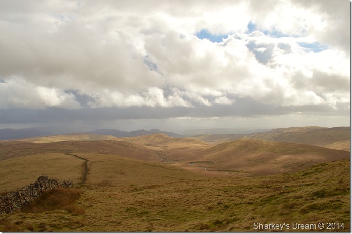
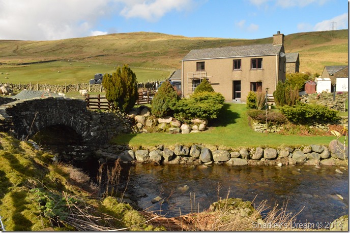
| Hause Foot from my descent. |
| It’s hard to believe that one of Britain’s major trunk roads runs right through this picture (The A6 can be seen running diagonally above Hause Foot) the laboured lorry engines distinguishing that I am returning back to reality. |
 |
| Crookdale Bridge, Crookdale Beck under glorious spring skies. |
I feel it unfair on the little research that I did into Crookdale that most people fail to return here, even Alfred Wainwright stated that the valley was no place in the rain, perhaps. But I witnessed a different valley after leaving Great Yarlside, one of which I couldn’t but help repeat under my breath, Ill be back come summer.
This walk & this route covered some of my favourite valleys & summits which just so happened into the Crookdale Horseshoe, yes it will be remembered for the wind, but what remains are the memories of how the walk turned itself on its back where I was met with glorious skies & acres of untouched Lakeland hill sides with not a soul in site. |
|
| |
| Back to top |
 |
|
