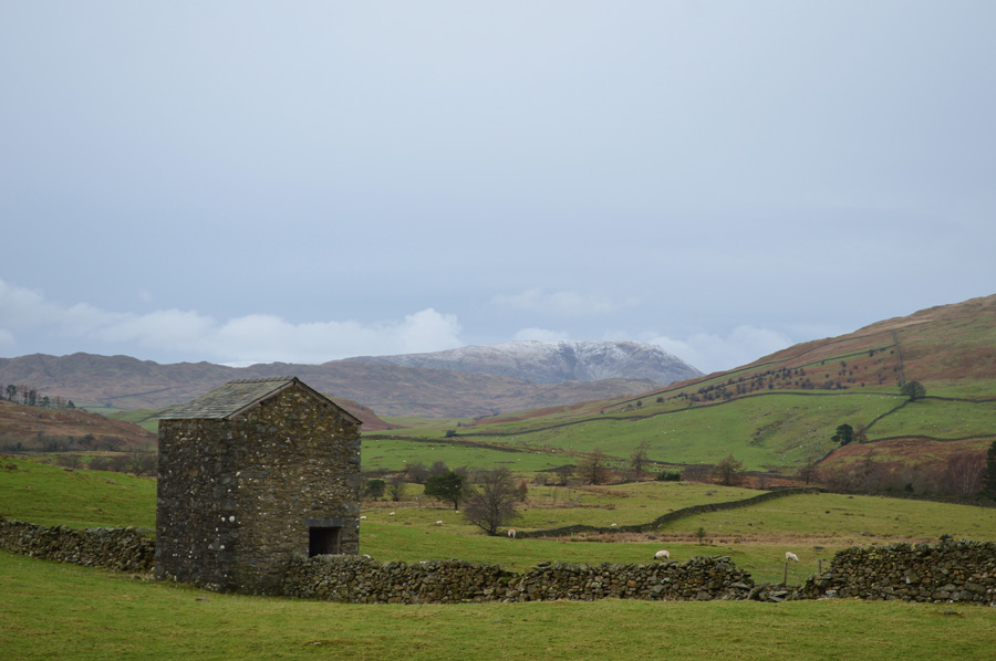
|
New Years Day on Sour Howes and Sallows |
 |
 |
1st January 2016 |
 |
|
I was due back in work over the New Years weekend and with yet another weather front due to arrive I thought it best to take advantage of some dry weather even if it meant that my New Years celebrations didn't last too long into the early hours the previous evening.
I had kited up the night before, all that was left for me to do was buy some supermarket sandwiches from our local Tesco before heading out to Lakeland after kind of a lie in.
The girl behind the check out, understandably didn't like being in work on New Years Day as she proceeded to tell me her frustrations including the chores that she had left her partner to do whilst she was in work, it made for some odd conversation first thing in a morning as I went onto inform her that I was off for a walk in the Lake District 'mad you are' was her reply.
No sooner had I left the car park was I on the motorway heading north and around an hour after that I found myself parking up at the bottom of the Dubbs Road with a passenger who had been keeping me company ever since leaving Wigan, her name is Holly and she was really anxious to get out the car this morning. |
|
| Wainwright Guide Book Two |
 |
| The Far Eastern Fells |
-Sour Howes
There is heather on the eastern slopes and therefore,inevitably, grouse; and therefore,inevitably, shooting butts; one may admire the construction of these butts while deploring their purpose. |
 |
|
|
| |
|
Overview |
|
|
| Ascent: |
1,700 Feet - 518 Meters |
| Wainwrights: |
2, Sour Howes - Sallows |
| Weather: |
Dry But Overcast, Feeling Wintery Across The Summits. Highs of 3°C Lows of 0°C |
| Parking: |
Parking Spaces, Dubbs Road |
| Area: |
Far Eastern |
| Miles: |
7.8 |
| Walking With: |
Holly Dog |
| Ordnance Survey: |
OL5 |
| Time Taken: |
3 Hours 15 Minutes |
| Route: |
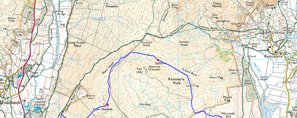
Dubbs Road – Dubbs Reservoir – Garburn Pass – Backstone Barrow – Sour Howes – Moor Head – Sallows – Long Crag – Kentmere/Ings Bridleway – Mickle Moss – High Borrans – Borrans Lane – Moorhowe Road - Dubbs Road |
|
| |
|
Map and Photo Gallery |
|
|
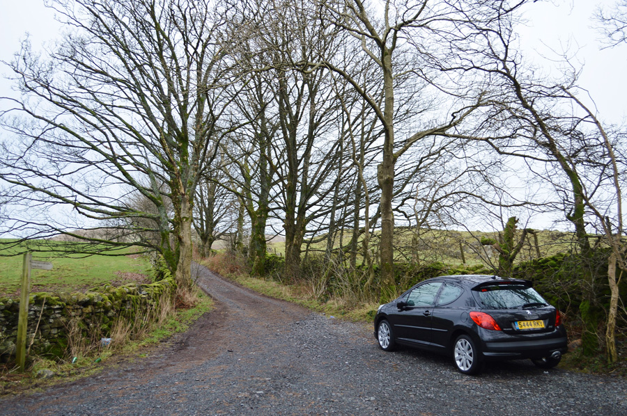 |
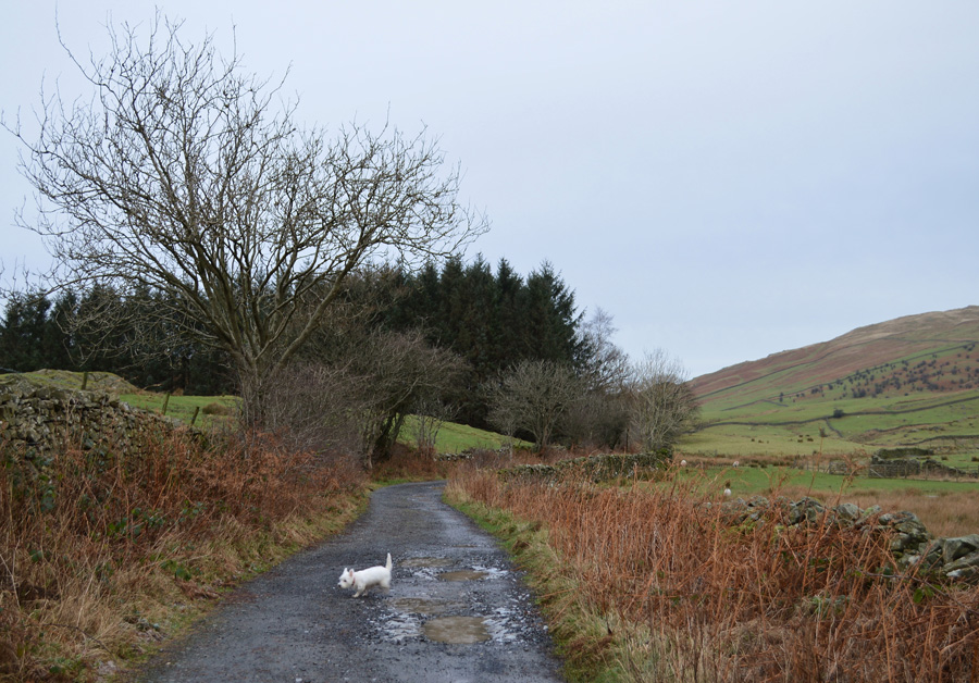
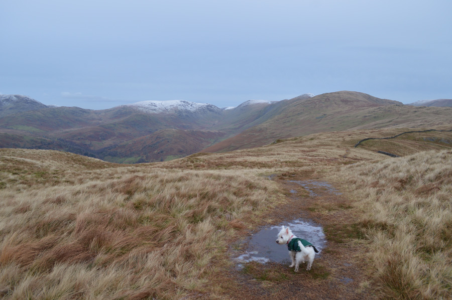
| Parking spaces, Dubbs Road/Moorhowe Road junction 10:15 °0C |
It was a last minute decision to bring Holly this morning much like my decision on where to walk due to not really knowing on how the forecast would pan out, as it turned out the far east of the district looked brighter than anywhere else which I then planned this walk around. There was a slight chill in the air but not much to cause ground frost, with no wind here at ground level once layers are added the morning should turn out quite reasonable.
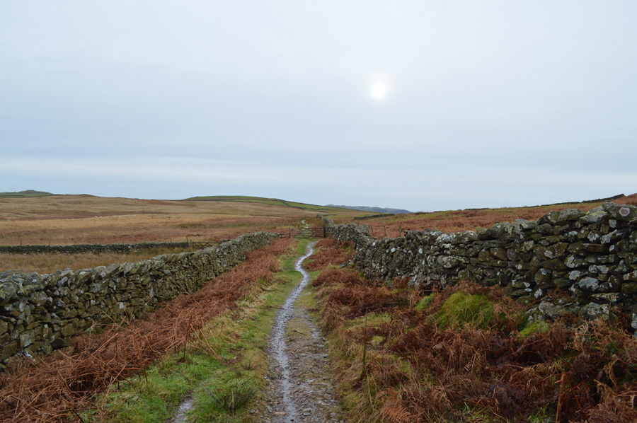
There was already a van parked up which looked liked it had been there all night as I pulled along in front of it having to leave an extra gap between me and it due to the tree you see at the back of my car. Holly was running around scurrying here and there as I laced up before throwing pack over shoulder and heading out towards Dubbs Reservoir, its about a miles walk from the bottom of the road which should set me up for the steep pull on Sour Howes soon after. |
 |
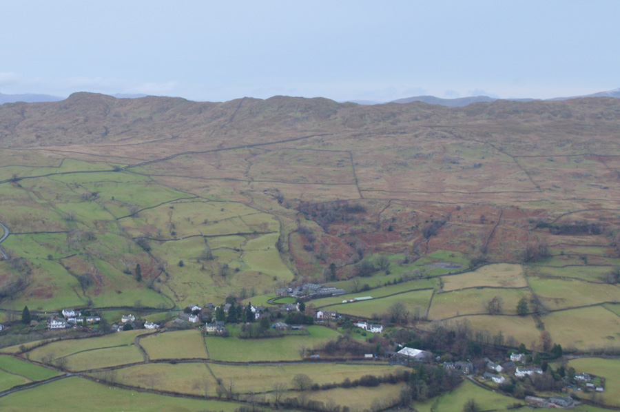
| Heading towards Dubbs Reservoir with the flank of Sour Howes over on the right. |
Despite the walk getting under way things weren't really warming up as fingers and ears started to freeze up, its a little to early to add a hat and gloves and feel the benefit so I put up with it a while longer all the while making star fist with both hands. A large 4x4 is heading towards us as I call Holly in to stand at the side of me whilst it passes breaking through the ice puddles as it does, I get a wave from the driver who is a woman and by the looks of things the whole family are out too. |
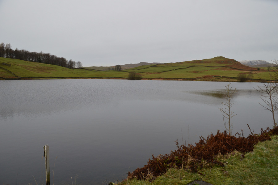 |
| Passing Dubbs Reservoir. |
By the time I had reached Dubbs Reservoir I noticed the 4x4 had parked up opposite the pump house, ahead, the family who I had seen in the car are further up the track with three small children in tow.
The family is soon passed as pleasantries are exchanged, the children are no more than toddlers just old enough to walk toasted up in cosy looking jump suits, mum is never far away but their progress is slow. From the Reservoir the track is starting to show the all familiar signs of storm damage left behind by Desmond. Here, as previously reported the water has cut channels into the path which in some cases, exposed the bedrock underneath, the path here is passable but care must be taken even if it means a few hop, skips and jumps everynow and again.
Dubbs Road soon makes way for the Garburn Pass which is where I will leave the path in search the route I will follow in order to reach Sour Howes summit...
...its quite a distinctive ridge like feature named Backstone Barrow. |
 |
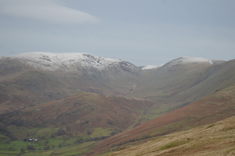
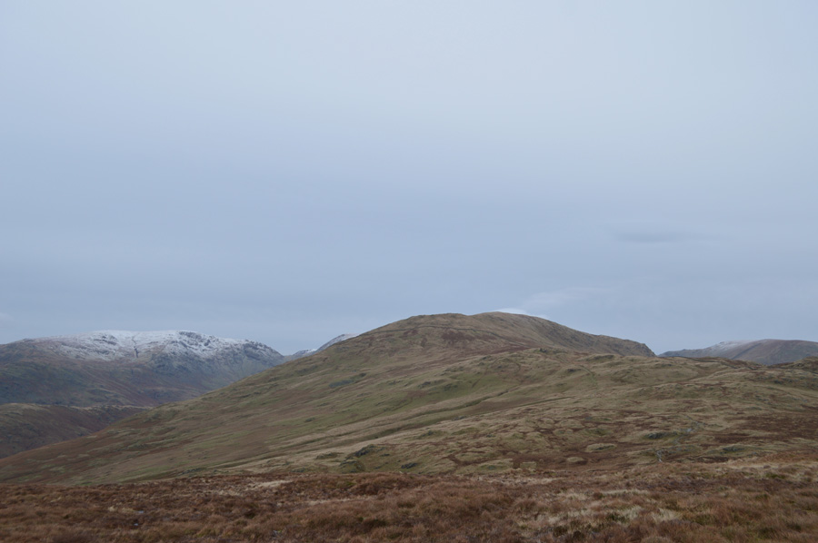
| Caudale Moor from the start of the ascent on Sour Howes. |
| Its now time to leave the Garburn Pass at a sty just up ahead, from here I pick up a steep singular grassy trod in line with the outcrop of rock seen in the right of the photo before the path lends its way left, then almost vertical again, its a steep pull, but thankfully there are plenty of rocky outcrops from where you can look back on progress. |
 |
| Mirky views back over Dubbs Reservoir and Windermere. |
| I'm starting to think that the forecasters have got it wrong all ready, its now mid morning but the light is so low it feels much later. |
 |
| Views over the Troutbeck rooftops towards Wansfell Pike. |
| I scour for movement on Wansfell summit but spot nothing, oh well, onwards and upwards. |
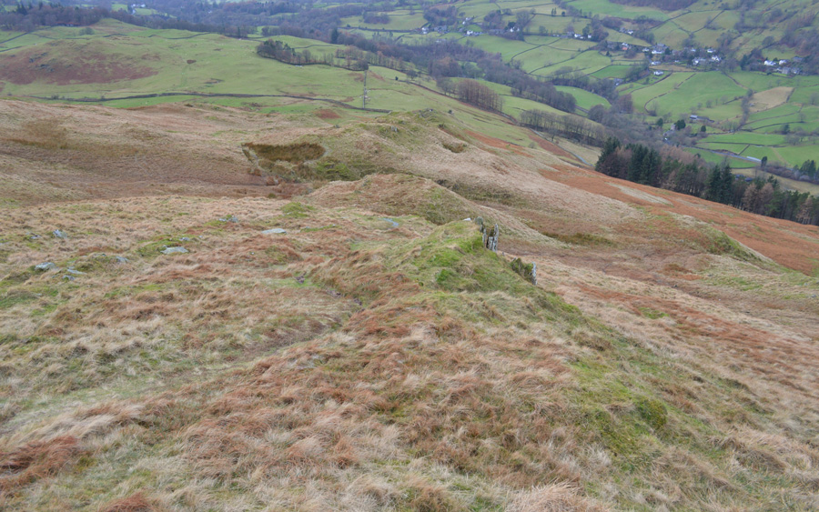 |
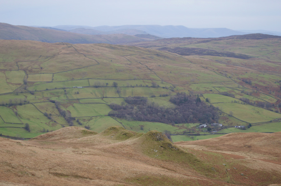
| Looking down on Backstone Barrow. |
| The family who I had passed earlier would at times appear behind me but were soon out of sight the more I ascended. Holly spots a Collie below us which is joined by its owners soon after, they are a group of five and appear to be moving quite quickly before they seek out shelter from the wind behind a rocky outcrop, perhaps waiting for the views to open up or a bit of sun to shine through, I'm afraid we are all in for a long wait with that one. |
 |
| The Tongue, Caudale Moor, Threshthwaite Mouth, Thornthwaite Crag and the III Bell ridge. |
| It would seem that the higher summits have recieved a light dusting of snow over night although here at lower levels its fallen as hail. |
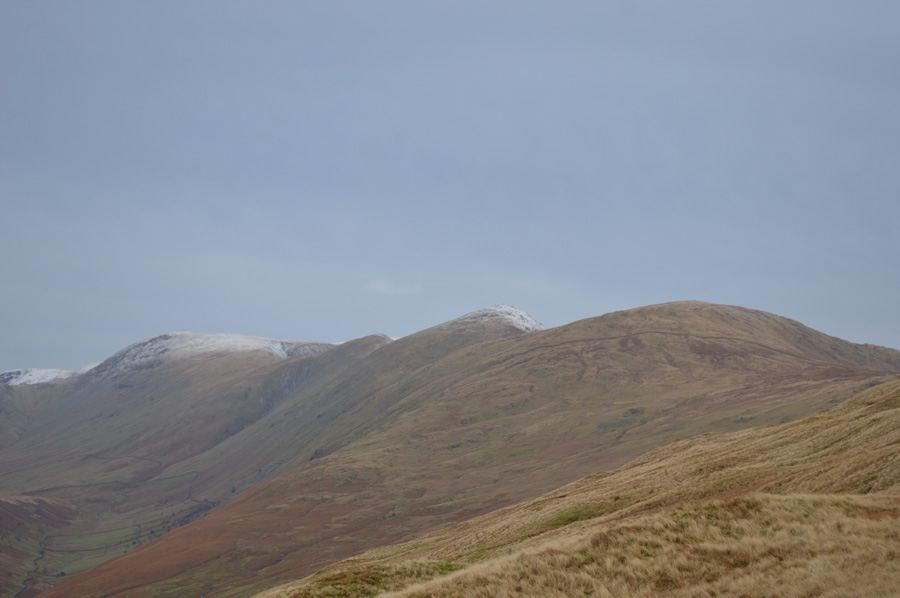 |
| Views over Yoke, III Bell, Froswick and Thornthwaite Crag. |
| I'm almost at the summit now, remember when I said that I wouldn't be adding my hat and gloves because I wouldn't of felt the benefit, well, nows the time to add them, brrr... its suddenly feeling very wintry indeed. |
 |
| A close up of The Tongue, Caudale Moor, Threshthwaite Mouth and Thornthwaite Crag. |
| |
 |
| Sour Howes summit is close by. |
Right on the end on the right, but you already knew that right !! |
 |
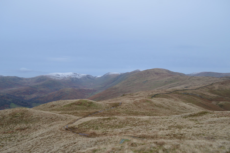
| Views over Moor Head towards Sallows and the III Bell Ridge from Sour Howes summit. |
I've been here many times and on the odd occasion someone thoughtful enough has left a stone cairn here, however the stone cairn is gone with the exception of the stoney rampart which defines the summit from a series of grassy outcrops all within a matter of feet of the actual summit height, it really can be a confusing place to find yourself if in low cloud and particularly, on your first visit to Sour Howes which is why its probably wise to collect your first summit in good weather.
On a personal note, the short walk over Moor Head towards Salllows provides short, but favorable walking ground. |
 |
| Crossing Moor Head with views of The Tongue, Caudale Moor, Thornthwaite Crag and the III Bell Ridge. |
| |
 |
| Think warm thoughts Holly! |
| We head out over an exposed Moor Head feeling the wind chill almost instantly, there are times when its difficult to see how cold it can be but with decreasing low light leaving its mark across the fell side it sure set the scene this morning for just how wintry the walk was starting to feel. |
 |
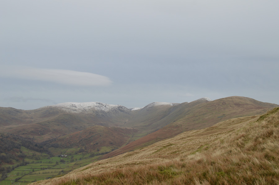
| Caudale Moor seen with Yoke. |
| |
 |
| Sallows summit. |
It's only a short pull from Moor Head that leads towards Sallows summit, views of the III Bell ridge are long gone with only the bulk of Yoke now in sight, I again scour for movement along the Garburn Pass for someone perhaps like myself, wishing to bring the New Year on the fells but spot nothing which was less than what Holly thinks she can see and certainly smell.
The critters are long gone but 10/10 for effort buggerluggs. |
 |
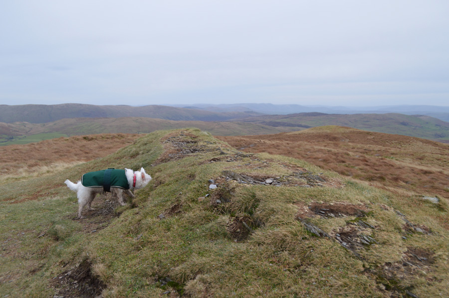
| Grouse Butts line the path after leaving Sallows summit with views over Scour Rigg and Kentmere. |
| |
 |
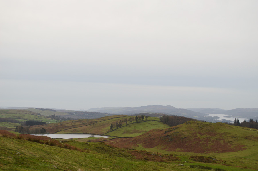
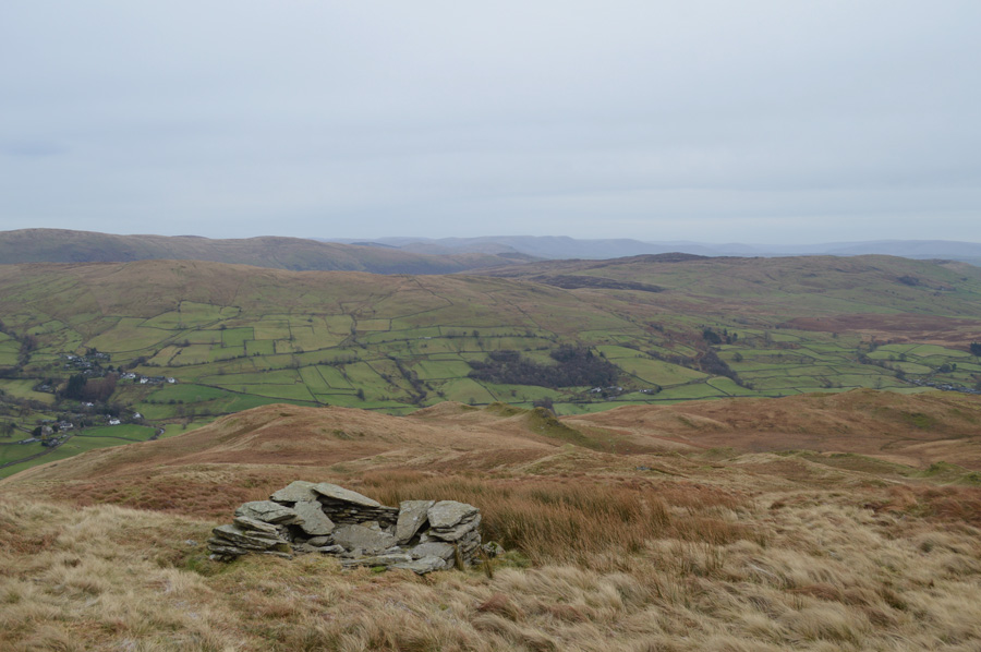
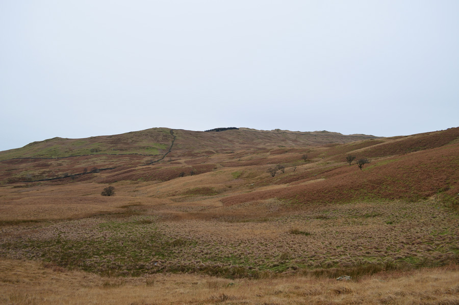
| Scour Rigg. |
| In the past it pays to explore Scour Rigg, but today it looked so damp down there I decided to go off track a little and descend via Long Crag instead. |
 |
| Shipman Knotts over Kentmere with Grey Crag (Longsleddale) in the distance. |
| |
 |
| Wardles. |
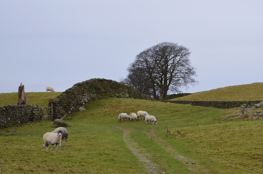
| I soon pick up a track again via Long Crag with sights in the distance of the Kentmere to Ings Bridleway but first before reaching the Bridleway I will pick up a farmers track before crossing a green pasture which is full of sheep, time to get Holly's lead out as she is still unsure about sheep at the moment. |
 |
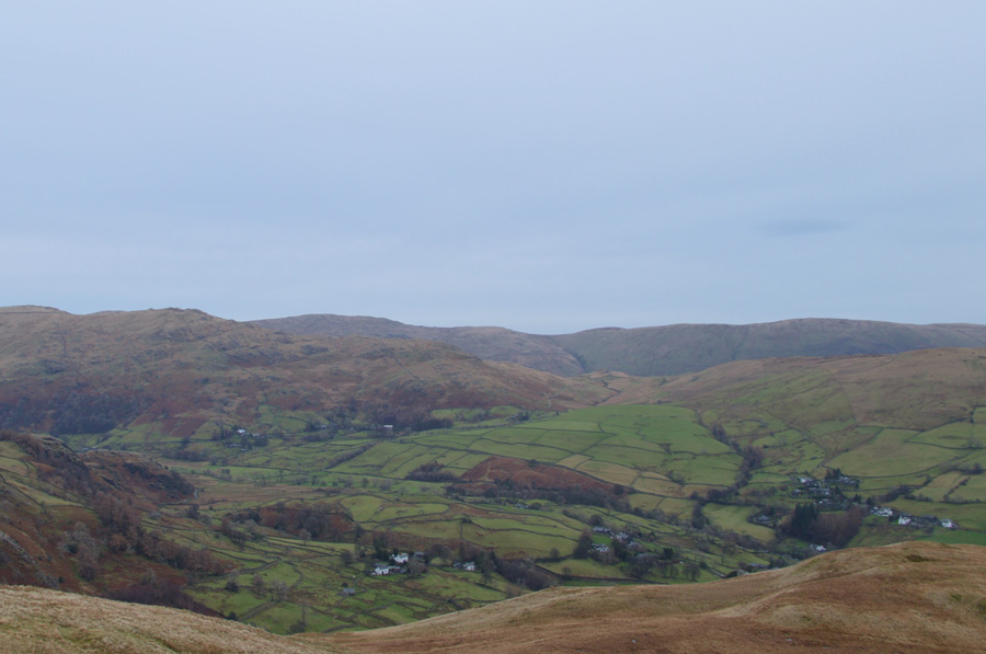
| Pausing to look back on Sallows and Whiteside End. |
That's Sallows south east ridge in the left of the photo and below, and the green field that we had just passed through, were on the Kentmere to Ings Bridleway now, which, sure was popular today.
After helping Holly across Park Beck which seemed to be some kind of eating and meeting point with families and Mountain Bikers all choosing to eat lunch there, it was one of the moments you hoped hadn't missed anyone out with your 'afternoons' We press leaving the cold winds confined to the summits, its actually really mild now but I keep my beanie on all the same. |
 |
| The Kentmere to Ings Bridleway. |
| Is...is that the sun trying to break through? |
 |
| We pass through this pasture on route to High Borrans. |
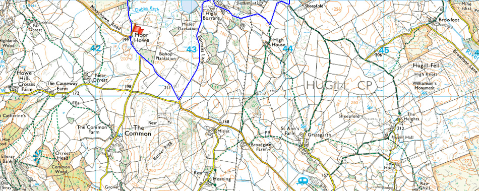
I leave the Bridleway at a sign posted High Borrans taking a right through this pasture, then a left through this gate which will lead us through to High Borrans and then past the High Borrans Reservoir.
Having passed through the gate we descend slightly over muddied track, then through an exceptionally muddied field where I wait holding a gate open while a Mountain Biker passes through. A little further around is High Barrons Farm and close by a mix holiday cottages which are really busy with people and their dogs out for a New Year Walk, after passing through the cottages I find myself over looking High Barrons Reservoir. |
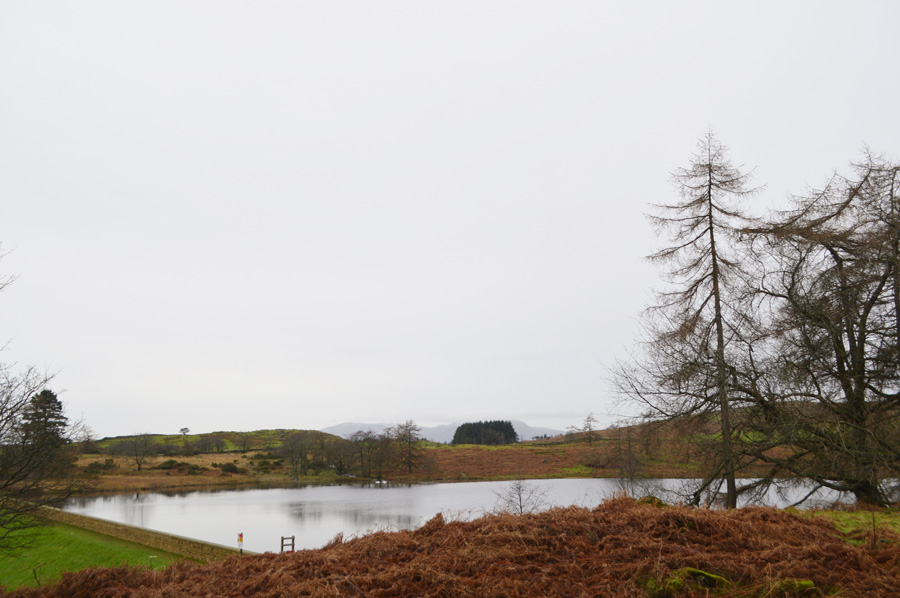 |
| Barrons Reservoir. |
Close by there is a Activity Centre which is owned by North Tyneside Council, here rope ladders and swings have been set out within the grounds of the centre along with rows of kayaks and canoes, a popular spot during summer but not on a bleak January morning such as today.
I'm on the last mile or so before reaching the bottom of Dubbs Road, here Barrons Lane descends quite steeply then reascends once past the reservoir, cars are parked where ever they can which again is proving how popular the area is, I once did a similar walk to this last Spring and saw less people than I had today. |
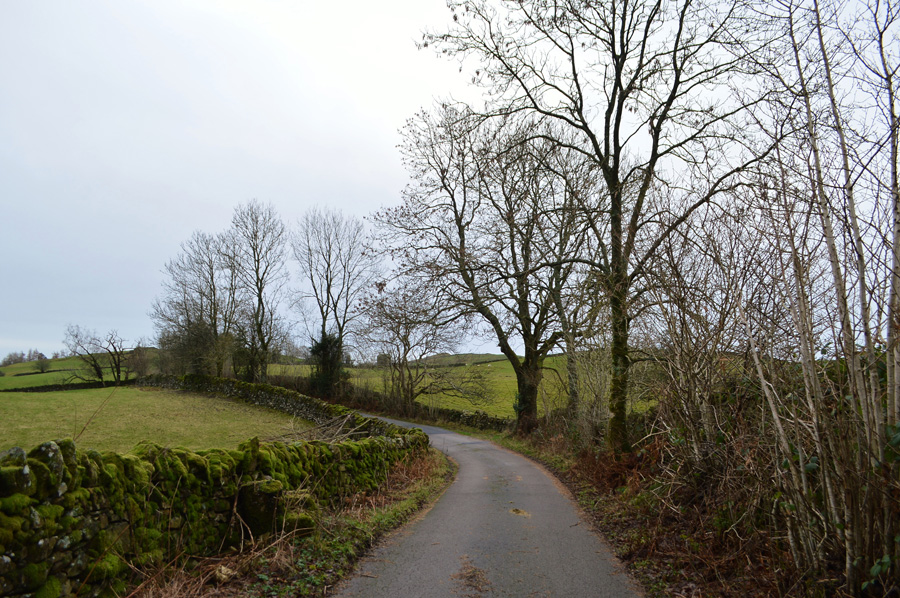 |
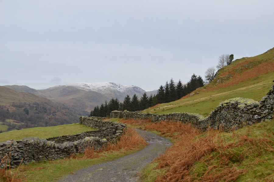
| Barrons Lane. |
| |
 |
| Red Screes and the Snarker Pike ridge from Barrons Lane. |
Well, that was a fabulous walk to bring in New Year by. I arrive back at the bottom of Dubbs Road only to find it as busy as you'd expect on a typical summers day. Holly is tied to a tree branch whilst I kit down behind the car as more cars try to arrive only for them to park up further up the road, a seat cover has already been placed on the back seat for Holly as lunch is eaten in the car and a few cheese and onion crisp are shared from my Tesco meal deal.
I take out my fleece from my pack noting that Holly is shivering slightly and place it over Holly who tucks it between her legs before falling asleep on the journey home. that'l have go in wash later I smile.
My first walk of 2016 and a taster of winter at the same time, ahead are twelve months all divided into seasons all of which have their own qualities which will prove that this year will be as good as the last, it'll take some beating but I'm sure going to give it a go. |
|
| |
| Back to top |
 |
|