|
Walking the Wainwrights in 30 Walks Walk 13 - An Eskdale Trio |
 |
 |
4th May 2016 |
 |
|
Both Tim and myself have our own reasons why we need to collect the three summits in todays walk, for Tim these three summits will bring him closer to finishing his Wainwrights and for me, well, it's been five years since I last stood on the summits of Green Crag and Hard Knott and today I plan to change all that. It is true that some summits get visited more than others yet I simply can't answer why I left these two summits for so long when after today, I took so much from them.
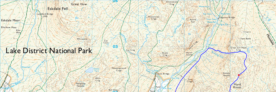
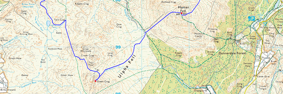
We had planned to meet in Ambleside and leave one car there as we didn't see any point in taking two cars over the Wrynose and Hardknott Passes. The parking place I had chosen was opposite Wha House Farm deep in Eskdale territory from where we head out towards Low Birker before picking up the steep track towards Low Birker Tarn, it's a nice plod gaining height steadily towards the col that divides Crook Crag and Green Crag. After summiting Green Crag we head north east over boggy ground following the contour of Long Crag before crossing the wooden sty close to Spothow Gill. From there it's a steep haul to reach Harter Fell summit before we descend the Deeming Crag ridge with views of our next, and final objective of Hard Knott.
Another steady but steep haul is required before the ground plateaus and views start to open up over the Scafells and Great Moss, it was undecided which route we would descend by, my initial plan was to head down the Yew Bank ridge but we found what we considered to be, a better and more exciting alternative, I couldn't have asked for more from my Birthday walk. |
|
| Wainwright Guide Book Four |
 |
| The Southern Fells |
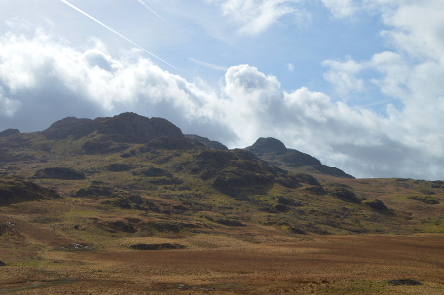
-Harter Fell
Not many fells can be described as beautiful, but the word fits with Harter Fell, especially so when viewed from Eskdale. The lower slopes on this flank climb steeply from the tree-lined curves of the River Esk in a luxurious covering of bracken, higher is a wide belt of heather, and finally spring grey turrets and ramparts of rock to a neat and shapely pyramid. |
 |
|
|
| |
|
Overview |
|
|
| Ascent: |
3,400 Feet - 1,037 Meters |
| Wainwrights: |
3, Green Crag - Harter Fell (Eskdale) - Hard Knott |
| Weather: |
Dry And Sunny To Start Turning Overcast, Ending With Sunny Spells In The Afternoon. Brisk Across The Summits Highs of 16°C Lows of 11°C |
| Parking: |
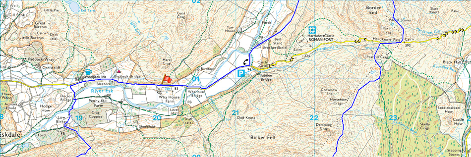
Car Park, Wha House Farm Eskdale |
| Area: |
Southern |
| Miles: |
11 |
| Walking With: |
Tim Oxburgh |
| Ordnance Survey: |
OL6 |
| Time Taken: |
6 Hours 20 Minutes |
| Route: |
Wha House Farm Eskdale - Woolpack Inn - Docktor Bridge - Low Birker - Low Birker Tarn - Green Crag - Long Crag - Harter Fell (Eskdale) - Hardknott Pass - Hard Knott - Great Gill - River Esk - Brotherilkeld - Wha House Farm Eskdale |
|
| |
|
Map and Photo Gallery |
|
|
 |
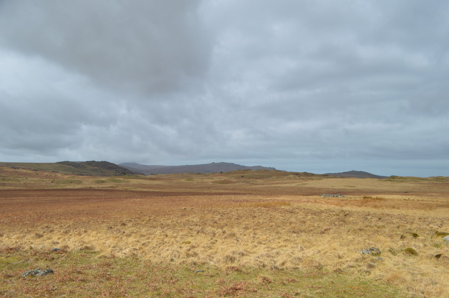
| Heading out towards Low Birker shortly after leaving Wha House Farm 09:05am 11°C |
After leaving Tims car just outside Ambleside we catch up on gossip while taking on first, the Wrynose, then Hardknott Passes although I do admit it was Tim doing most of the talking as I was concentrating on the driving. As expected the journey over the Passes was queit and I don't recall passing another car the whole time it took to reach Eskdale. The parking spaces were reached but the entrance was blocked by a around half a dozen ducks enjoying the morning sunlight, most of whom got up and waggled away, all except one duck who refused to budge which meant I had to drive around the stubborn little beggar.
The car park was empty making parking easy, I had already laced up my boots whilst waiting for Tim back in Ambleside so it was just a case of throwing my pack over my shoulder and locking the car, we soon struck out in the direction of Eskdale first passing Wha House Farm and then the Woolpack Inn before we made a left for Low Birker after crossing Doctor Bridge. |
 |
| De-layering on route to Low Birker Tarn. |
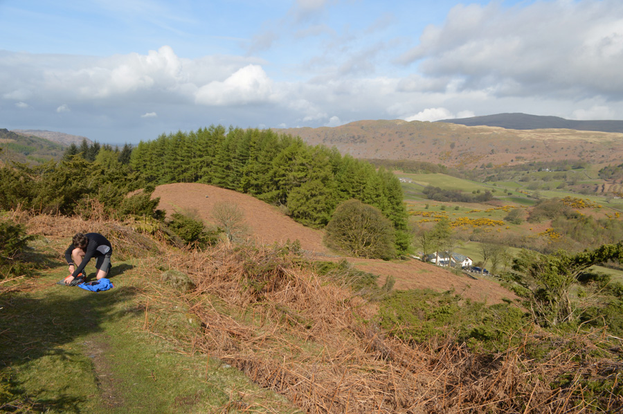
After pausing for a few moments on Doctor Bridge to look down on the River Esk we head out towards Low Birker Cottage which you can see as the white building in this photo. It's been five years since I last walked past the Cottage and back then it was in a state on renovation and today, some years on although new work has been carried out the builders were still hard at it layering a courtyard in front of the cottage, we pass our 'mornings' to the builders and we get one in return.
From the Cottage our path ascends steadily past the tree line via a broad grassy path, ahead the fell side looks almost vertical but the path deals with this well passing Gorse and Bracken. We hadn't been walking long when we both agreed we needed to de-layer, Tim being Tim always walks in shorts anyway and there was a point when I wished I'd have done the same for those first few hours, nevertheless jackets are packed away and sunglasses are added, had the forecast have been correct we should be walking in low cloud by now so all of this sun around was a fantastic bonus so early into the walk. |
 |
| Pausing to look back into lower Eskdale as we reach the top of the track. |
| Low cloud is clinging to the tops of Harter Fell and Hard Knott but it is starting to lift as the sun breaks through, incidently that's Wha House Farm in the centre right of the photo and further left is the Woolpack Inn. |
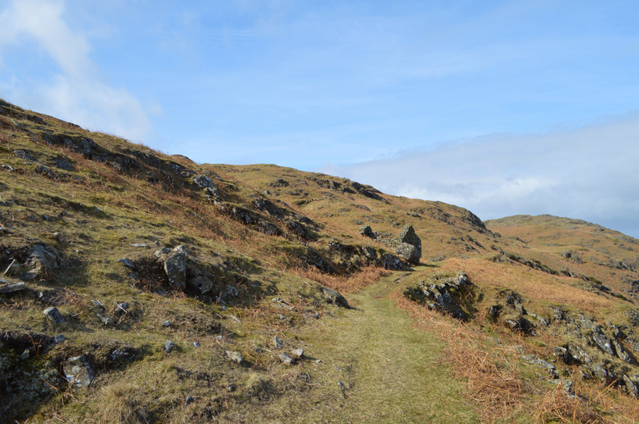 |
| Approaching the Old Peat Hut found along the path. |
| This part of the path almost feels quite 'shelf like' as the fell side drops away sharply to our right. |
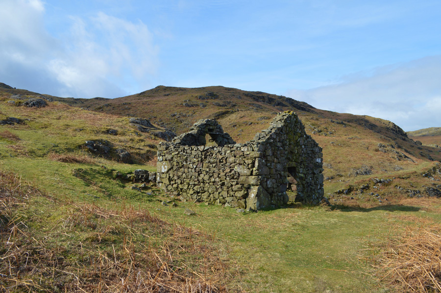 |
| The Old Peat Hut. |
| |
 |
| Distant views over Lower Eskdale towards Whin Rigg and Illgill Head. |
| We continue under warm morning sunshine and head south towards Low Birker Tarn leaving the views over Lower Eskdale behind. |
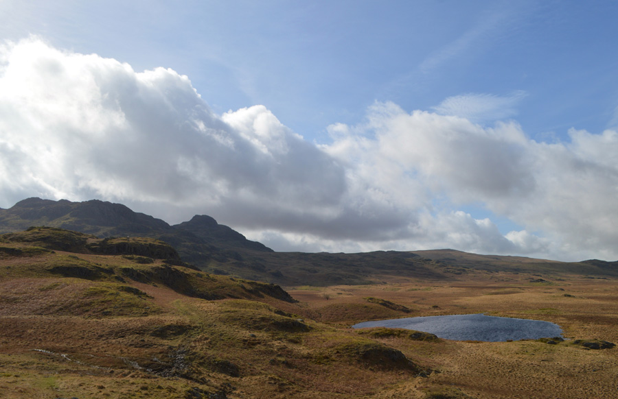 |
| Crook Crag seen with Green Crag appear in the distance as we approach Low Birker Tarn. |
We had the choice of two paths, one which climbs above Low Birker Tarn or one that straddles it, seeing as the ground underfoot had started to get quite boggy we took the higher path as views of the Outlying Fells around Devoke Water started to open out. |
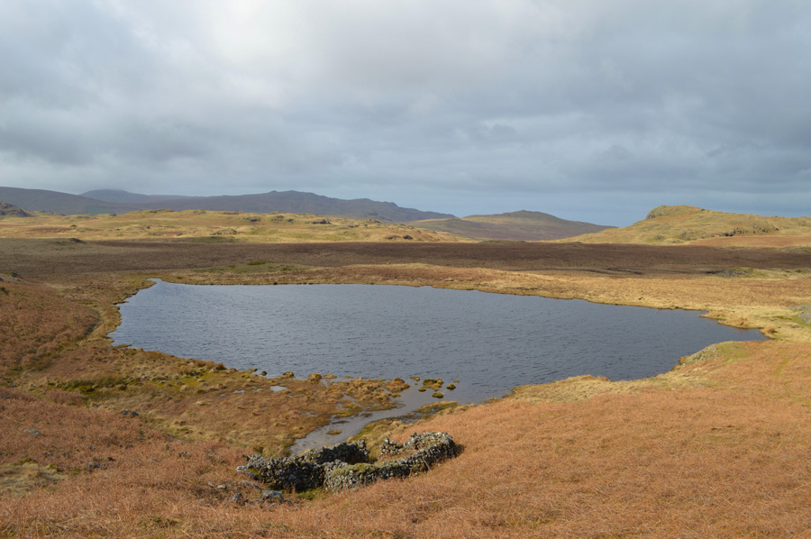 |
| A selection of the Devoke Water Fells seen as we pass Low Birker Tarn. |
| After this years project I might take a year off and roam at free will, or if I can't stand the temptation, next years project will be to collect the Wainwright Outlying Fells by the same routes as A.W |
 |
| Great Winscale, Crook Crag and Green Crag seen over Foxbield Moss. |
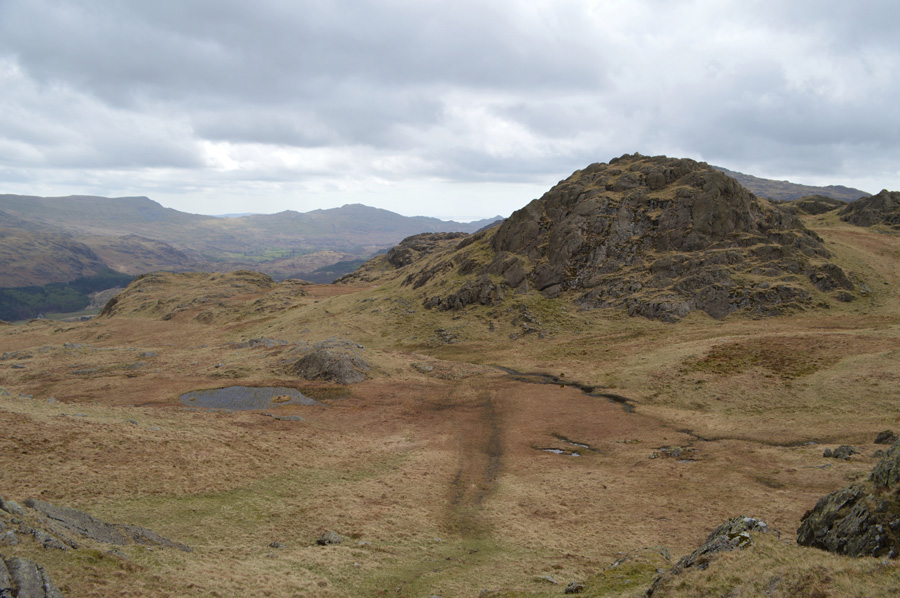
| Options now open out again, those of you with a keen eye will be able to spot the path in the lower left of the photo which is the path we took which flanks below the crags and brings you around into a depression between both Crook and Green Crags, thereafrer a steady climb is required to reach the col before a final push towards Green Crag summit, for those feeling more energetic or for those collecting Birkett summits a path also directs towards the summit of Crook Crag. |
 |
| Looking back on trodden ground over Foxbield Moss towards Gate Crag. |
| I think our luck with the weather is about to change. |
 |
| Foxbeild Moss. |
| |
 |
| Green Crag summit. |
We climbed steadily over swollen ground towards the col with Crook Crag now immediately on our left, at the col I distinctively remember from my last visit the boundary stone but don't spot it until we start our ascent on Green Crag, it lies just a few feet below the outcrops of Crook Crag. A stone staircase ascends towards Green Crag summit, this I did remember from my last visit all the while the cloud starts to turn grey and by the the time we reach the summit cairn the sunshine had long gone, even so it was agreed we find a spot out of the wind and take five.
With heavy skies over head we re-shouldered this time adding our jackets and taking off the sunglasses, for now anyway. The Duddon Estuary is observed as are the Dunnerdale Fells as they stretch into Coniston Fells, a glimpse of Seathwaite Tarn and the dam can be seen as I tell the tale of the navies who built it some years ago. Tim spots an alternative descent route back to the col missing out on the staircase which we ascended by, soon we are back at the col over looking the dreaded escarpment of boggy land named as Ulpha Fell on the OS Maps, I had pre-warned Tim about what to expect whilst crossing here.
it's about to get pretty wet. |
 |
| Harter Fell is ahead. |
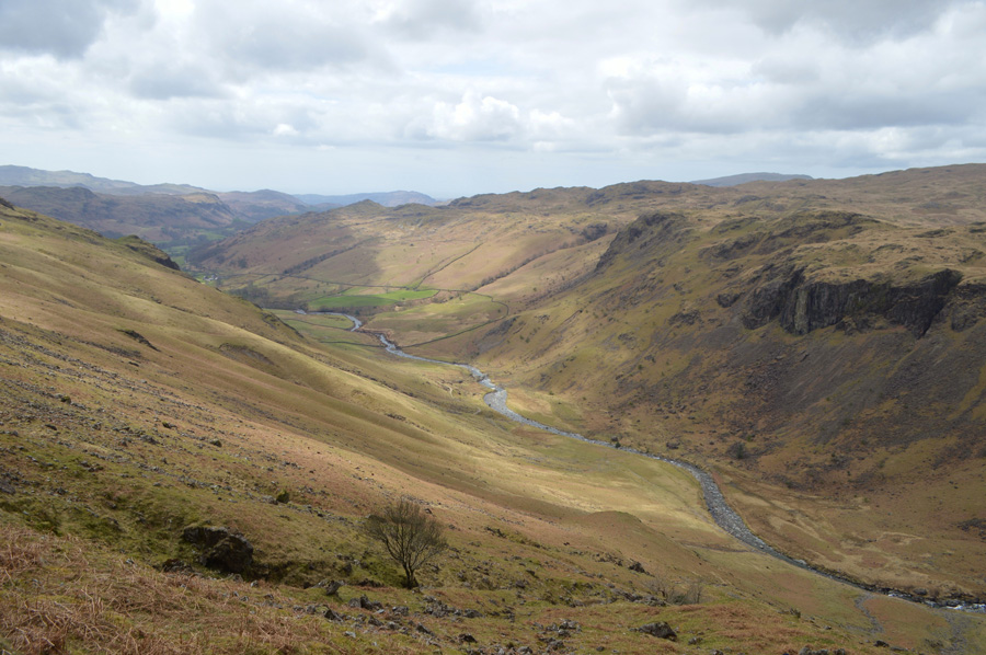
But, between here and there it's bog hopping time. Despite not being here in over five years I have been around long enough to know that this area between Creen Crag and Harter Fell is one of the boggiest in Lakeland, in fact I'll go so far to say it makes The Pewits look like the Sahara Desert! We pick up a trod, and blaze a trail keeping Long Crag to our left flank, the ground here is dry and deceptive and draws you in further, our aim is to reach the far left of the tree line where I know if my memory serves me correctly, a wooden sty crosses a wire fence.
Further into the crossing the ground underfoot gives way and boots are submerged up to the tops of soles, thereafter the path is picked out between the deep greens of the spring like wild grasses, a sure sign that water lies just below.
Tim went first and is almost instantly submerged to the tops his boots, don't stop just keep moving mate, I go next and I'm subjected to the same although my gaiters do help in keeping the water out we are both left positively knackered on reaching the wooden sty, so much so we take a few minutes to collect ourselves before starting the steep ascent on Harter Fell.
Onwards and upwards as they say. |
 |
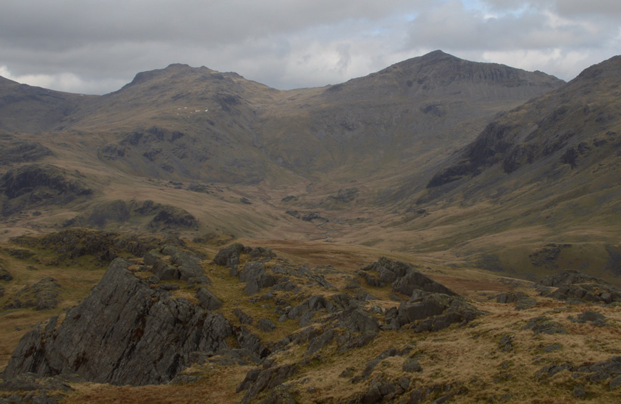
| Green Crag and Crook Crag from our Harter Fell ascent. |
| |
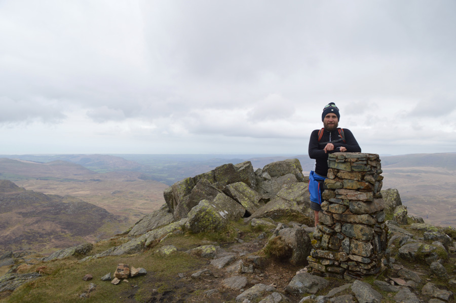 |
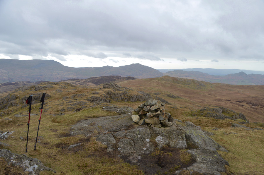
| Harter Fell (Eskdale) summit trig point. |
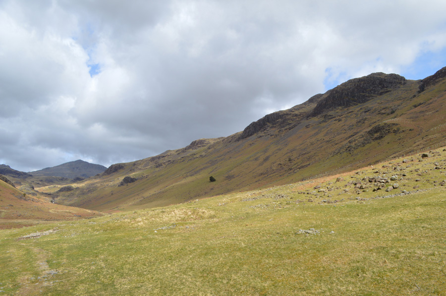
The positive we took from the ascent was that much of it was in view with no real false summits, this kept up momentum despite both our paces slowing down, in fact Tim describes the last part as a dawdle which felt more forced upon than an option. The summit cross winds are biting cold as I am reminded of my last visit here during my Lakeland two thousand footers when conditions were almost identical, a summit that always feels cold no matter what the time of year.
Tim pauses while I take a few photos but it's so cold it's not the place to hang around, soon after taking this photo we begin our grassy descent with views of Demming Crag and our next summit of Hard Knott, |
 |
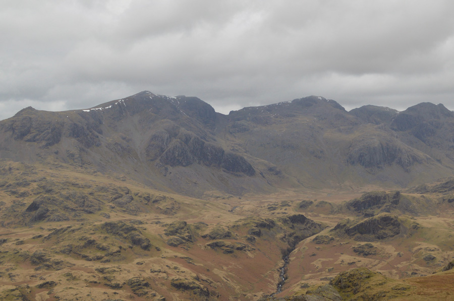
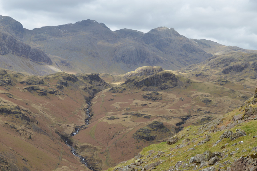
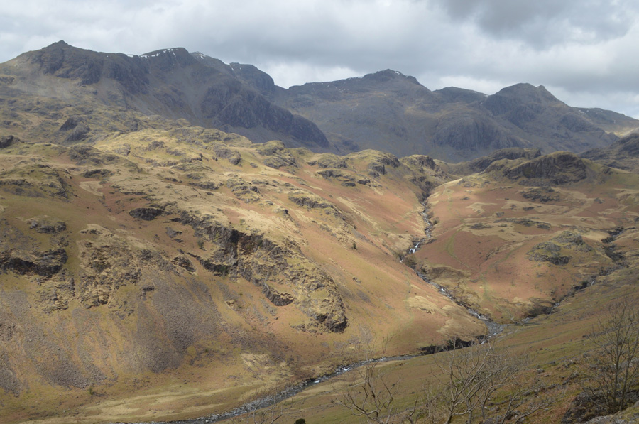
| Views over Demming Crag, Hard Knott, Esk Pike and Bowfell. |
| Believe it or not we can definitely see a change in light for the better, lets hope so. |
 |
| Lunch with a view from the top of the Hardknott Pass. |
We seemed to make good time during our descent from Harter Fell, despite the familiar bogs we soon found ourselves over looking the top of Hardknott Pass having just passed a group of elderly walkers close to Peathill Crag. Despite only two summits being collected we felt we had earned our lunch as it was agreed we would stop somewhere out of the wind once we had found a dry spot.
With our lunch stop located we de-shoulder and break for lunch, Tim was on pasta and me, rice. A cold wind every now and again would howl over the top of the Pass causing Tim to reach out for hat and gloves and I couldn't blame him however, once we get back on the move things should get toasty again.
With lunch packed away we re-shoulder and walk the few yards towards the Pass summit cairn, it is here the steady ascent on Hard Knott begins. |
 |
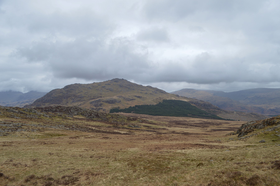
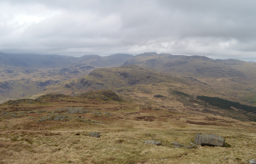
| Harter Fell from the start of our ascent on Hard Knott. |
| It's a pretty steep ascent to start which soon eases. |
 |
| Looking back towards the top of Raven Crag on route towards Hard Knott summit. |
| |
 |
| Wrynose Bottom along the lengthy flank of Grey Friar while on the left, Little Stand and Cold Pike. |
| |
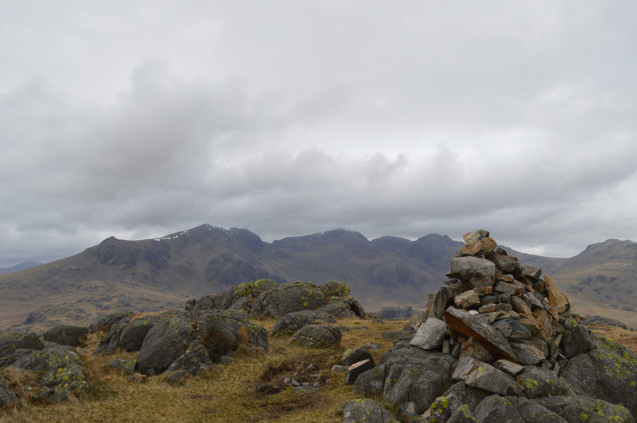 |
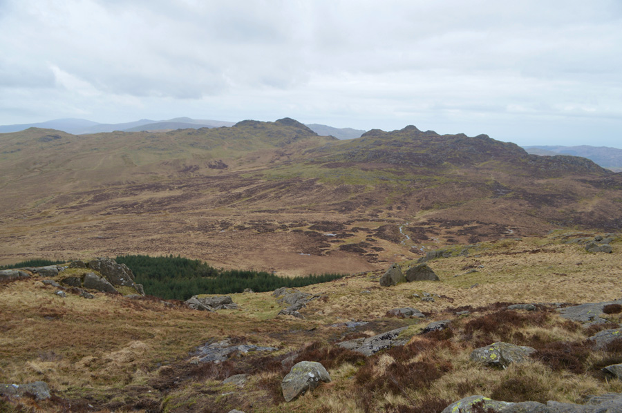
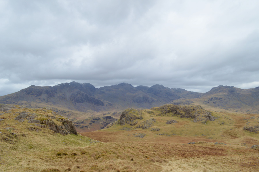
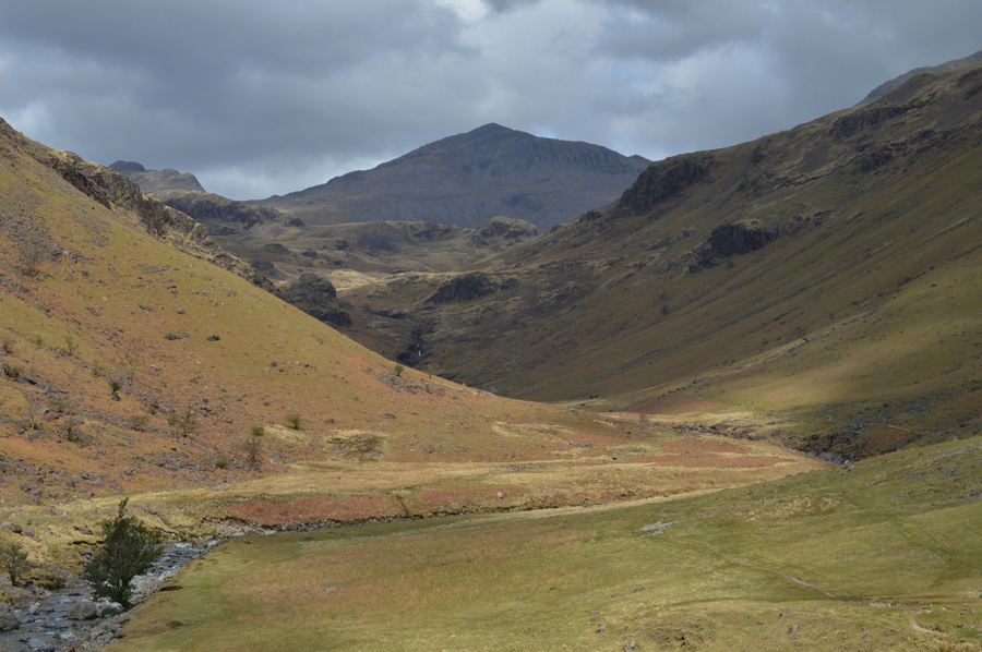
| Views opening out towards the Scafell group from Hard Knott summit cairn. |
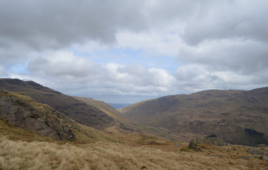
There was a last push towards the summit which stands on top of a high outcrop of crags. By the time we reached the summit there were chinks of blue appearing overhead which showed promise, ahead, despite the low light we could see the final cloud that had clung to the tops of the Scafells start to break away which came as great timing as we decided on which route we would descend by.
After going over the options it was decided that we would descend the Yew Bank ridge towards Lingcove Bridge, this way we would be in full view of Great Moss and the Scafells, not a bad choice but a better one would soon come along. |
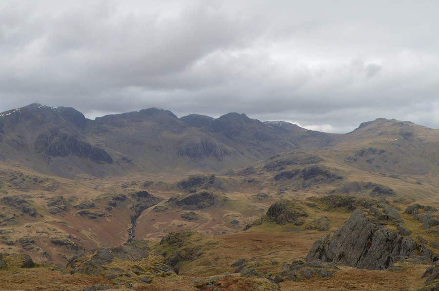 |
| Cam Spout Crag, Sca Fell, Scafell Pike, Ill Crag, Esk Pike, Yeastyrigg Crags, High Gait Crags and Scar Lathing,Throstlehow Crag and finally Throstle Garth. |
| The sun might not be shining just yet, but that is some view. |
 |
| A close up of Bowfell, Esk Pike, the Yeastyrigg Crags Ridge, High Gait Crags and Green Hole. |
| |
 |
| Slowly but surely it starts to brighten up. |
| |
 |
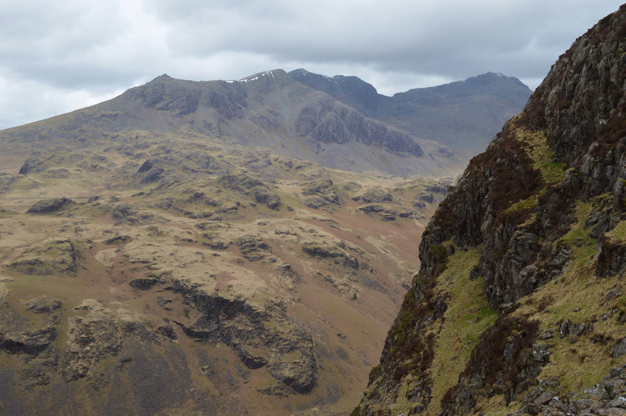
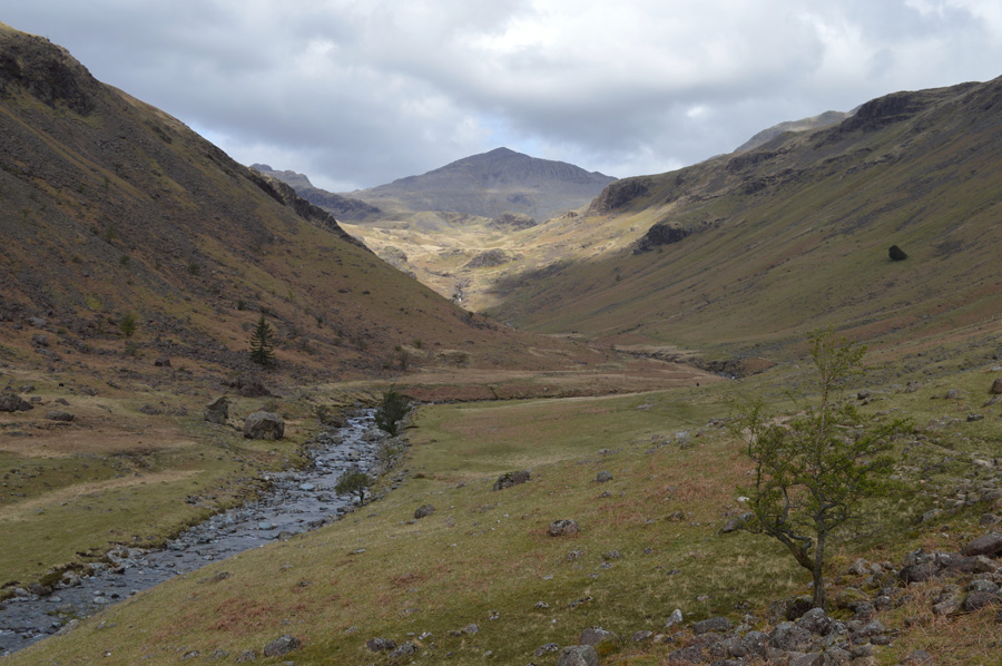
| Our view of Slight Side, the Scafells and Esk Pike over Yew Bank. |
Only moments earlier we had agreed to descend by the Yew Bank ridge but that was until a faint outline of a path was spotted at the top of a ravine in the left of the photo, Tim went to investigate, him having younger legs than me.
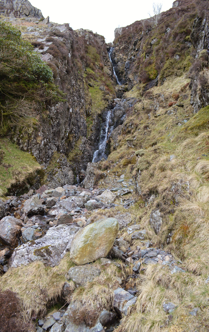
Joking aside I follow Tim without first consulting my map, Tim looks back at me and gives me the nod, I venture closer while taking out my GPS It would appear we have found ourselves at the top of Great Gill, a deep waterfall ravine which descends all the way down to the River Esk, however, before fully committing we study the lay of the land which in places is steep and boulder-some, but mainly a grassy descent could be had.
"Good call Tim" It looks like we have found a better alternative. |
 |
| Slight Side, Cam Spout Crag, Sca Fell and Scafell Pike close to the top of Great Gill Head Crag. |
| |
 |
| Views over the River Esk from Great Gill. |
| The ground is steep but manageable, Great Gill can be heard over waterfall and at one point I walk towards the edge of the Gill to investigate only to find myself looking down from a seventy foot drop, the site of which caused a little 'leg wobble' we descend further towards the tree where it looks like Great Gill can be crossed at narrow point. |
 |
| All the while under the gaze of Englands highest ground. |
| |
 |
| Great Gill. |
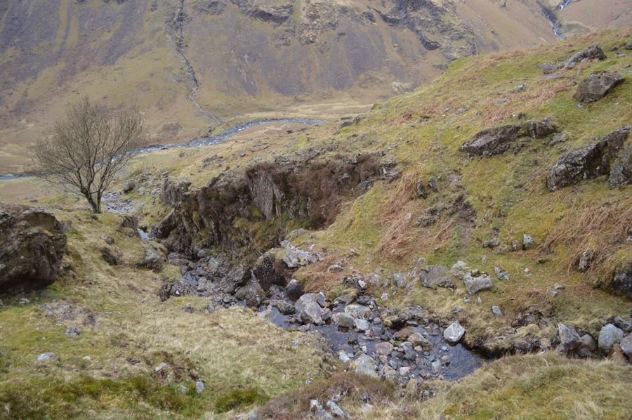
| Great Gill did narrow at the bottom of the ravine where we were able to cross and investigate, it would appear I was stood somewhere along the top left of the photo looking into the Great Gill which would explain the 'leg wobble' |
 |
| The ravine continues a little further past the tree before opening out onto open fell side. |
| With Great Gill crossed we leave the boulders on the other side of the Gill, in favour of a descent via grass and bracken. |
 |
| There's that view again. |
| Looking more inspiring now that the sun has come out. |
 |
| A distant Bowfell as we make our way along the flanks of the River Esk towards Brotherikeld. |
| Great Gill Head Crag can now be seen in the top right along with the top half of the ravine. |
 |
| Bowfell. |
| |
 |
| |
| |
 |
| Bowfell, Crinkle Crags and Hard Knott as we make our way back to Wha House Farm. |
With the sun coming out displaying the fell side in an array of colour we felt like kids in a sweet shop, what a perfect way not to just end any walk but my birthday walk. Brotherikeld Farm is passed along the flanks of the Esk as views back slowly disappear over Taw House and the distant Scafells. The sun is blazing down on Eskdale and for the first time it would seem sun tans are on the cards for the pair of us. A wooden gate is passed and I'm not sure what directed me to look over it but as I did I witnessed a new born lamb being born, actually being born! I did take a photo but it's not for the faint hearted so it will remain in the album as a memory to look back on one day.
Wha House Farm is reached under what felt like a steady march in conversational chat more on the matter of 'my old age' as Tim continues to take the mickey of me being two years older than him. The ducks that blocked the parking spaces are now taking in the warmth from the afternoon sun as the stubborn one keeps one eye open as if to say I'm watching you...
Tim heads off to the entrance of Wha House Farm where free range eggs are on sale, how much Tim?
Six for a quid, bargain eh! |
 |
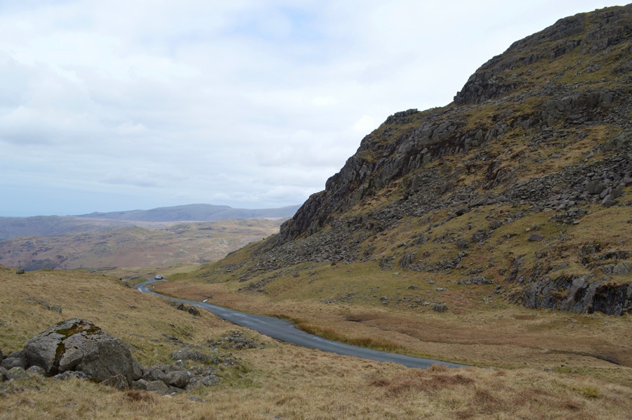
| Wrynose Bottom as we descend Hardknott Pass by car. |
| |
 |
The Langdale Pikes. |
| |
|
| |
| Back to top |
 |
|