Muncaster Fell from Eskdale Green

13th November 2016

To bring my weekend in Cumbria to an end it was decided quite a while ago that we would take a walk over Muncaster Fell although back when we first planned the walk we hadn't decided which route we would take which was something that could be done closer to the time.

It was agreed that we would start and end the walk from the sleepy hamlet of Eskdale Green where if timed properly, we might just make the summit just in time to observe two minutes silence something that we would have still observed even if we were up to our ankles in mud, which...wasn't too far from the truth.

Despite not really keeping to any schedule we made the summit with eight minutes to spare which gave us time to take in the views towards Great Gable by which time Great Gable summit was well and truly below cloud.

With our two minutes silence observed we then paid a homage to Muncaster Tarn before finding our way back to Eskdale through the valley via the Esk Trail which gave a truly fitting end to my weekend in Lakeland.

 
Wainwright Guide Book
The Outlying Fells

-Muncaster Fell

"Muncaster Fell is of a lowly height that yet contrives to give the impression of much great stature"


Overview
Ascent: 1,406 Feet - 428 Meters
Outlying Fell: Muncaster Fell
Weather: Milld And Overcast For The Duration. Highs of 8°C Lows of 7°C
Parking: Parking Spaces, Giggle Alley, Eskdale Green
Area: South Western
Miles: 7.7
Walking With: David and Jennifer Hall
Ordnance Survey: OL6
Time Taken: 4 Hours 30 Minutes
Route: Eskdale Green - The Green - Bankend Wood - Rabbit How - Ross's Camp - Muncaster Fell - Chapel Hill - High Eskholme - Muncaster Head - Forge Bridge - The Green - Eskdale Green
 

Map and Photo Gallery


Heading towards Eskdale Green Station 08:45am 7°C

Today we are joined by Jennifer who by all accounts is responsible for mine and David's slower than slower pace which we blamed on last nights Apple Pie and Custard which when served in the quantity that we ate it in was probably enough to stop an elephant, besides, today is a Sunday so who needs to rush anyway.

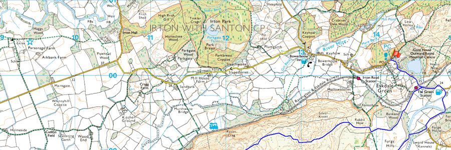
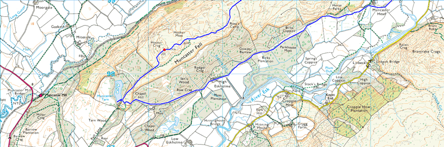
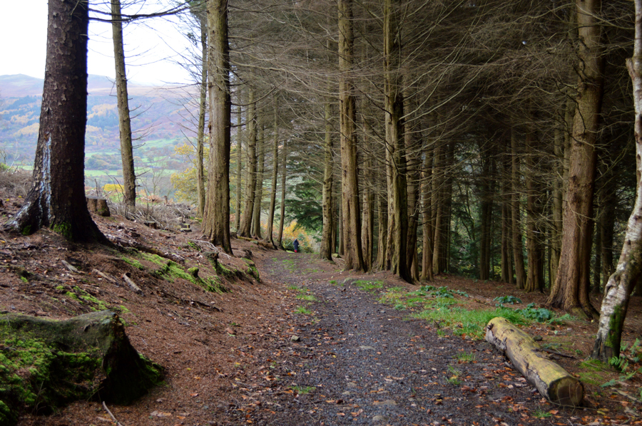
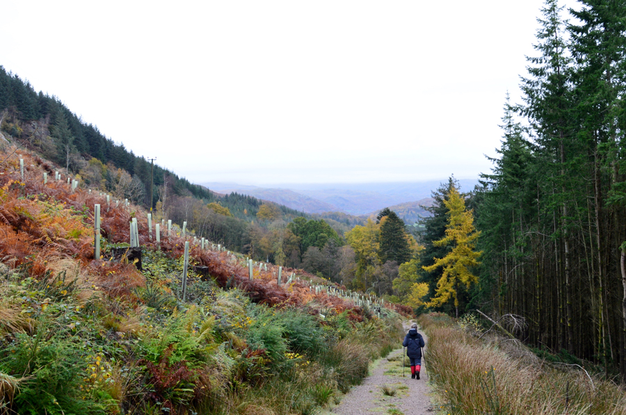
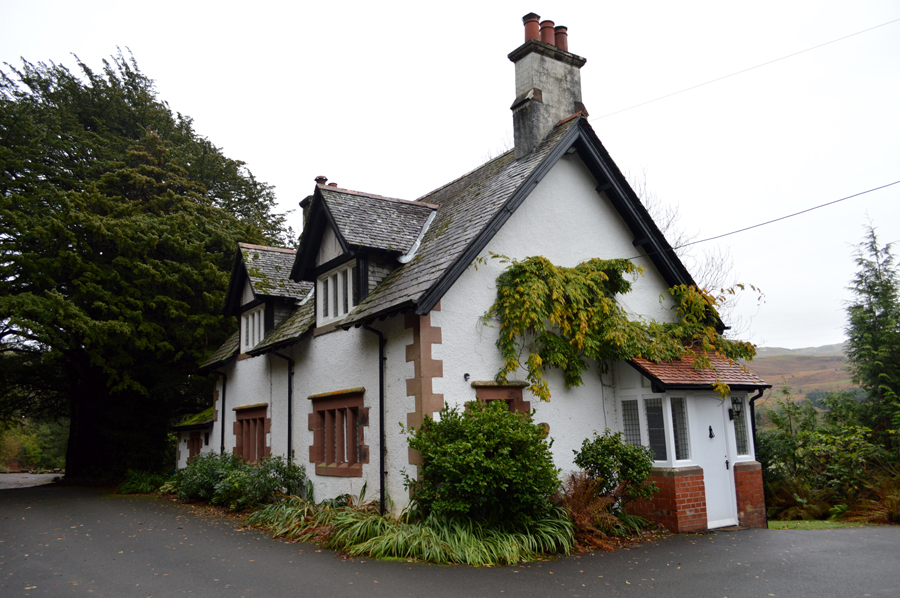
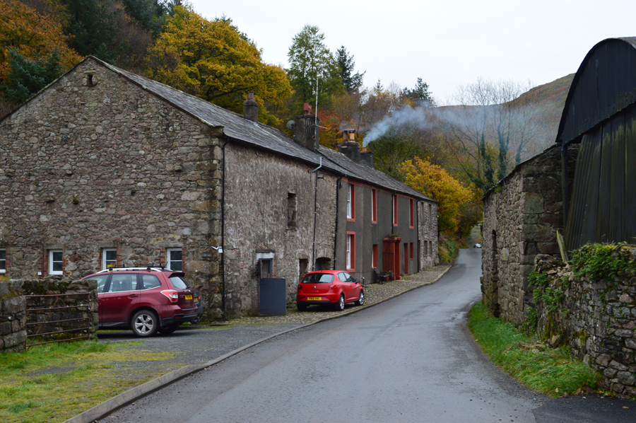
We kit up with our cars parked side by side having just parked up at the parking spaces close to Giggle Alley which is also next to the public toilets which we found are closed for Winter which meant that if you needed a pee right now you'd have to wait until Spring time. The air is mild and feels like it's in double figures without so much as a breath of wind although no doubt it's going to feel much warmer once we are underway. With Gaiters added for the boggy bits we head out towards Eskdale Green Station making use of the whole width of the road seeing as there was no one about, soon passing sleeping cottages we reached the Station where we hooked a right signposted Muncaster Fell.

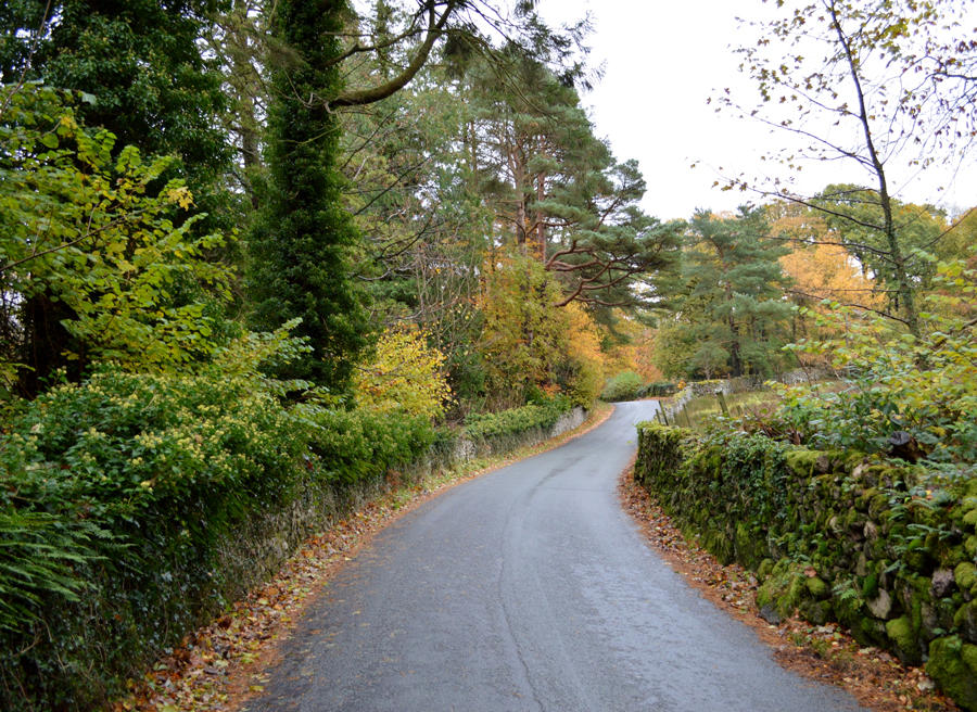
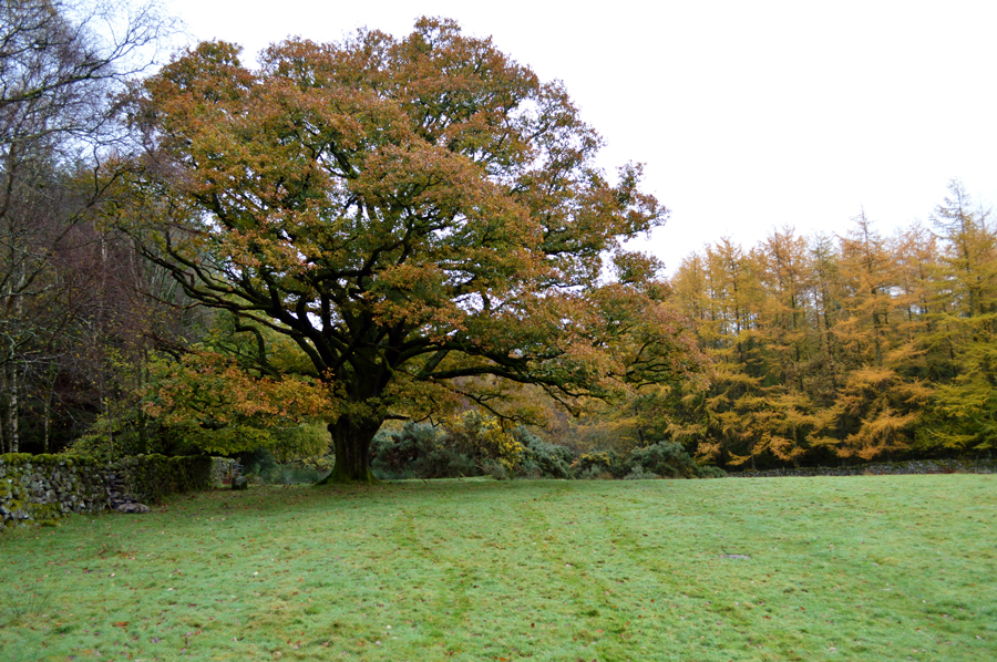
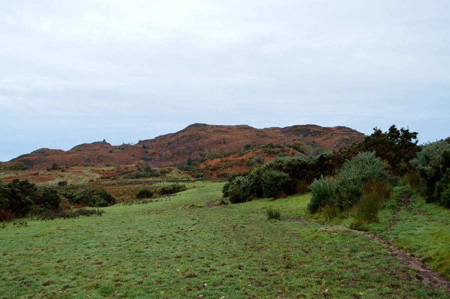
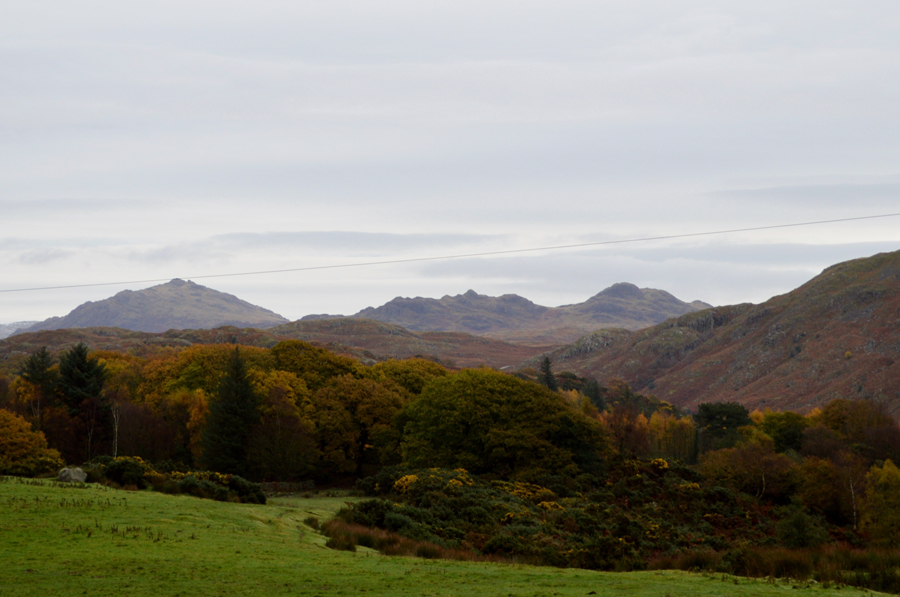
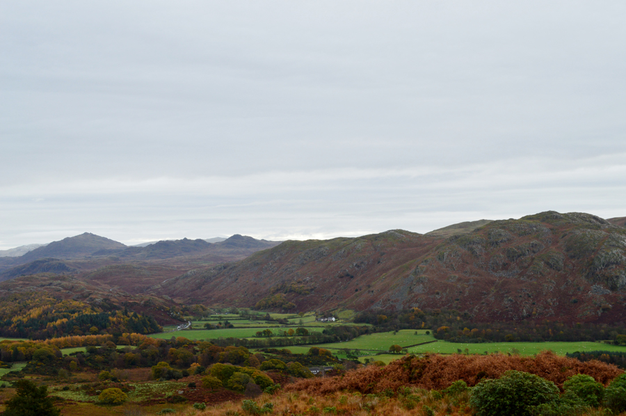
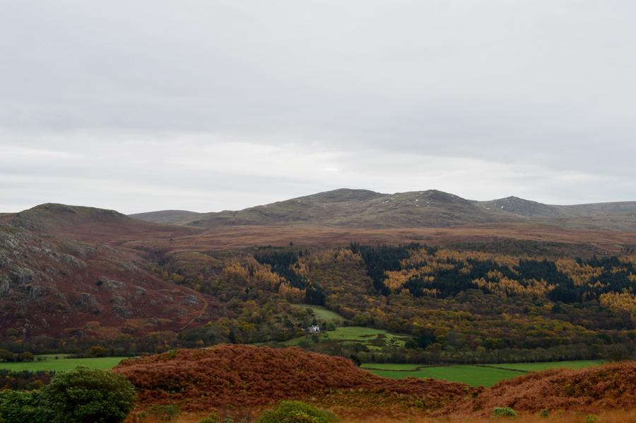
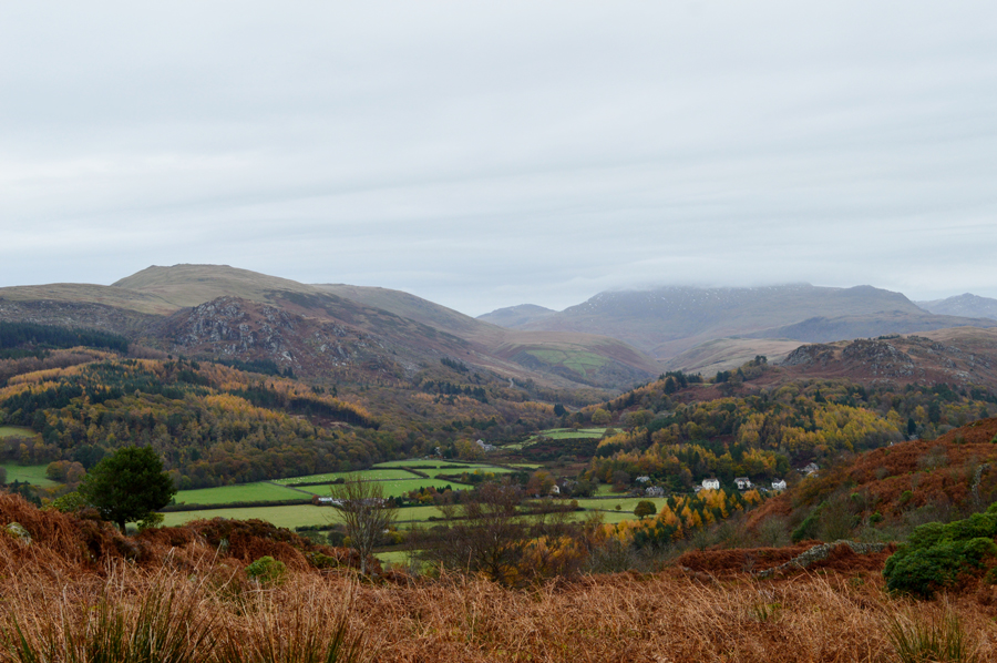
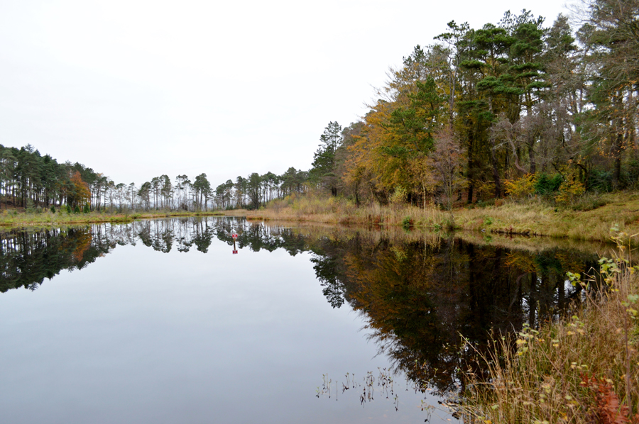
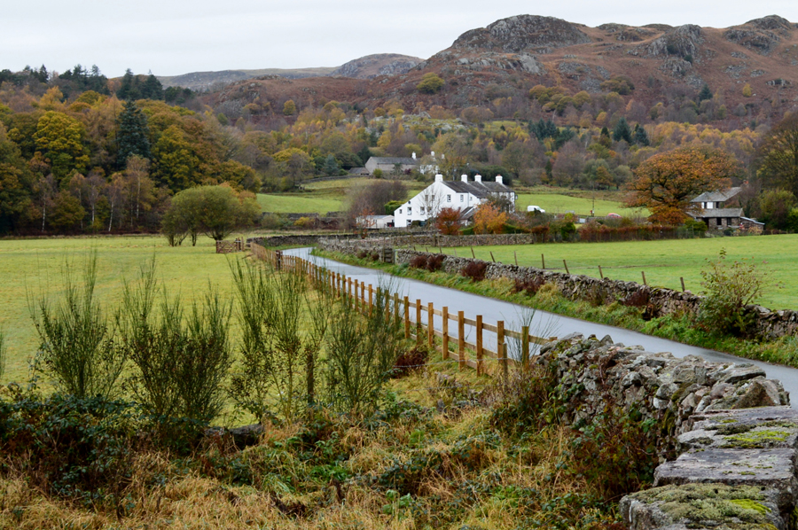
We flank the narrow gauge line to our right for a short time before continuing down a narrow tree lined lane where distant views opened out over the summit of Hard Knott Pass but it was so murky a camera wouldn't have done the view any justice. Up ahead we reach a wide wooden gate which opened out into a field but first we had to watch over footings as opening the gate meant trawling through thick mud, it wasn't the first, nor last time our boots would be christened with the stuff.


Passing below this impressive Oak Tree.
Our trails seen over the dew covered grass.

Muncaster Fell comes into view with Rabbit How on the far right.
I had been warned how damp and muddy it can get around here especially at this time of year so it came to no surprise when it took quite a long time to get from a simple A to B after detouring around ,or simply walking right through the mud added a little time onto todays walk but, that didn't matter because it was all about the views and just how peaceful this corner of Lakeland is more so on a damp Sunday Morning, but that's just the way we like it.

Distant views towards Harter Fell (Eskdale) Crook Crag and Green Crag.
 

Fell End over Eskdale Cottages.
 

Here looking towards Muncaster Head, Harter Fell (Eskdale) Crook Crag, Green Crag while in the foreground Brantrake Crag, a slight view of Water Crag and Birkby Fell some of which make up the Devoke Water fells.
While those of you with a keen eye may be able to spot the Birker Fell Road which is the route I'll be taking later while on my way home.

Over the valley we have White Pike, Woodend Height, Yoadcastle and finally Stainton Pike.
 

This is the view over the Eskdale Valley towards Whin Rigg, Lingmell, Scafell, Slight Side and Bowfell with the narrow Miterdale Valley seen centre right.
Soon every summit in this photo will be below cloud which approaches from the north.

'Ross's Camp 1883'

Earlier both David and I had wondered about how well parts of the path mainly below Silver Knott were incredibly well constructed which caused us to think was this route over Muncaster Fell used by the Romans or indeed early traders which after research I can confirm that part of the southern ridge which is now known as Fell Lane (A straight track) was indeed used by the Romans by means of getting from the large fort of Glannaventa near Ravenglass approximately to the garrison at Hardknott Fort which would surely mean that other sections of the path where also used by the Romans.

We squelched onward and upward, slowly at times because we didn't have any other choice and soon rounded a grassy outcrop revealing Ross's Camp which was named after the shooting parties which used to stop and luncheon here.


Black Combe from Muncaster Fell summit Trig Point 10:58am

After leaving Moss's Camp we head towards, or should I say, around the aptly named Hooker Moss from where the summit cairn is just a short pull away. "what time is it asked Jennifer" eight minutes to eleven.

11:00am came where we stood in silence and remembered the fallen. In the distance Church Bells rang out from the direction of Ravenglass all the while the cloud descended further down the ridges. Once the two minutes silence was over the Church Bells stopped and everything returned to silence.


Reflections over Muncaster Tarn.
 

Muncaster Tarn.
 

Descending through Chapel Hill / Wood.
 

The Monument.
North east of Muncaster Castle is a monument dedicated to Henry VI. A three Storey octagonal tower with an octagonal spire built in the eighteenth century.

It is said to mark the place where shepherds found Henry VI wandering the Fells after the battle of Towton in 1461.

Heading towards High Eskholme.
We are almost at valley level now as we pass through an area of woodland known as Ian's Wood from where we soon pick up the Esk Trail which first passes through High Eskholme and eventually Muncataster Head, but that's still a little while off just yet and besides, it's getting near to lunch so eyes wide for somewhere to sit.

High Eskholme and time for lunch.
Once High Eskholme is reached we spot an area around the park which is reserved for the Golf Course parking which you might just be able to spot in the lower left of the photo.

Eskdale Golf Course.

We had chosen to sit down on a row of felled trees that had been made into benches here over looking this quiet corner of the Golf Course, we receive a hi from the groundsman who takes out a wide dew brush and proceeded to sweep the dew off the grasses surface leaving just the outer edges in dew before starting his golf trolly and silently drove away to another location no doubt to do the same at another hole, now that's dedication.

With lunches eaten in the stillness of the day we all re-shoulder and head back onto the Esk Trail and soon pass a couple who we had seen descending Muncaster Fell summit followed by a fellow and his dog who waved as he flanked his way around Hooker Moss which just goes to show how quiet this area is when you only see three people all day albeit, twice.


Passing Muncaster Head Farm.
Almost back at the village now.

Forge House.
 

The King George IV Inn Eskdale.

We left the Esk Trail which then went on to continue to flank the River Esk towards upper Eskdale, a wonderful path by all accounts but sadly not the one we are heading for as we strike a left and cross the Esk at Forge Bridge where views open out towards a quiet King George IV Inn. Our paces slows as we walk through the village taking the hills in our stride, we couldn't have asked for a more perfect Sunday walk if we had tried.

By now the cloud is so low it's hard to distinguish the summits as we peer into upper Eskdale where it looks like rain is on its way, further south the view remains the same as the drizzle limits the view over the Birker Fell Road but I still choose to drive that way home anyway where I pulled on to a patch of grass and watched the drizzle soak up the Devoke and Ulpha fells whilst contemplating my Outlying Fells project next year.

I couldn't see a flamming thing.


Back to top