The Outlying Fells, Heughscar Hill from Askham

28th January 2017

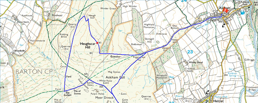
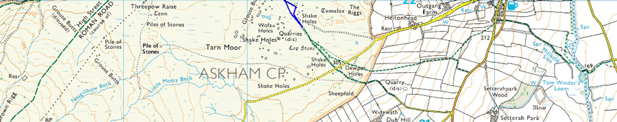
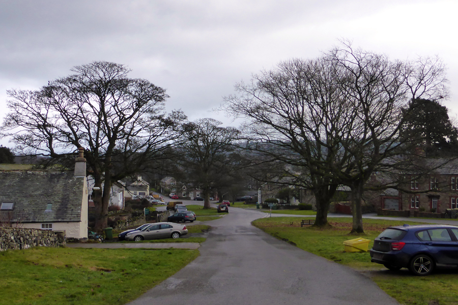
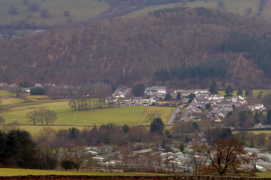
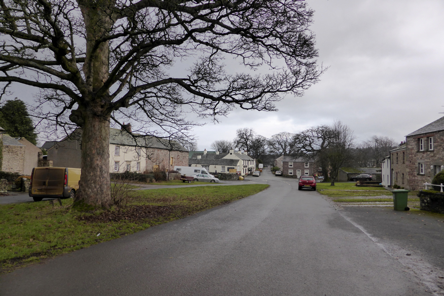
The second walk to feature is Heughscar Hill from the village of Askham, a place that I have driven past and through on many occasions but have never actually started a walk from so I was looking forward to the walk through the village before we hit fell side.

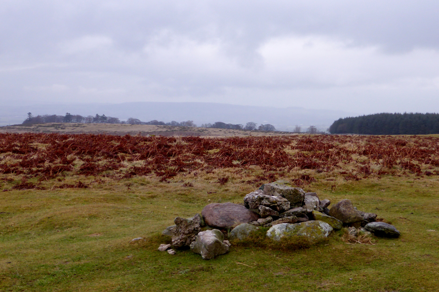
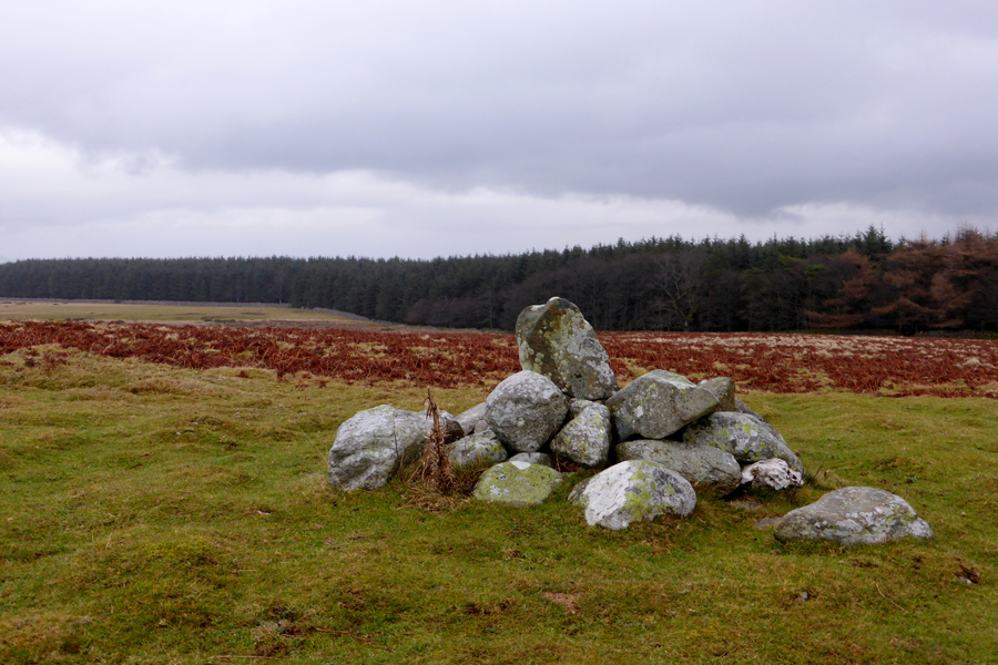
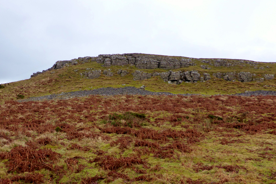
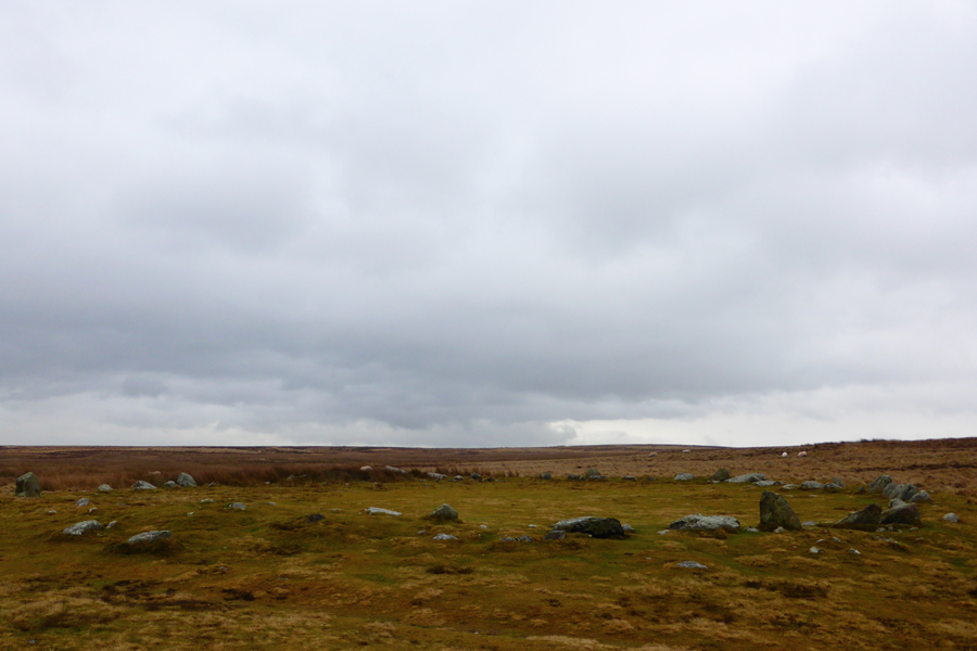
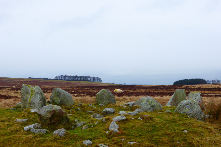
The route first collects the Outlying summit of Heughscar Hill and after a gentle wander across the summit plateau a short visit to the limestone crags which make up the north western flank of the fell. After descending Heugh Scar our route would see us head south towards the Cockpit Stone Circle which is thought to date back to the Bronze age when early settlers occupied the land leaving burial mounds and many more stone circles in an area of Lakeland which was heavily forested before the Romans arrived.

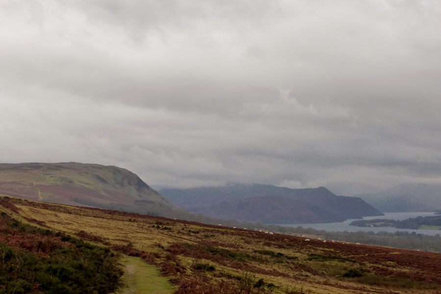
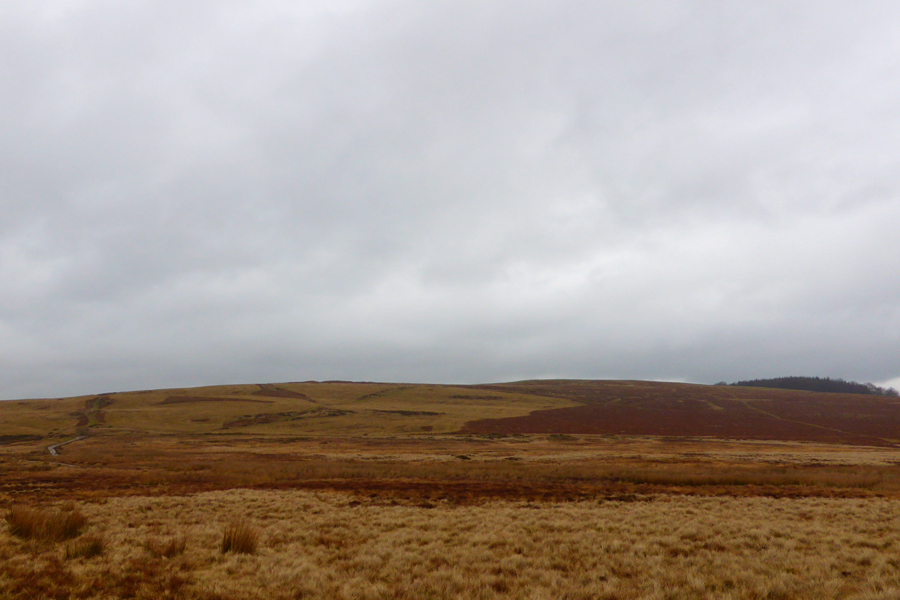
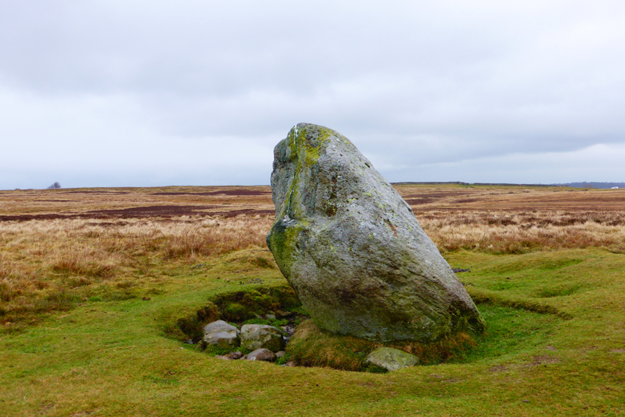
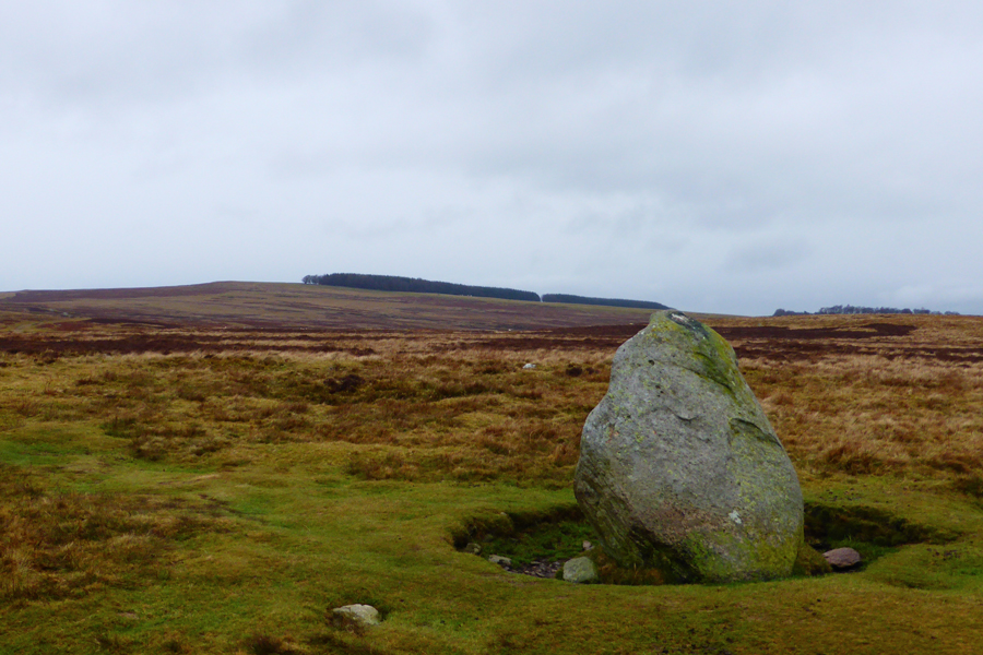
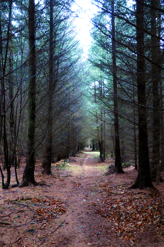
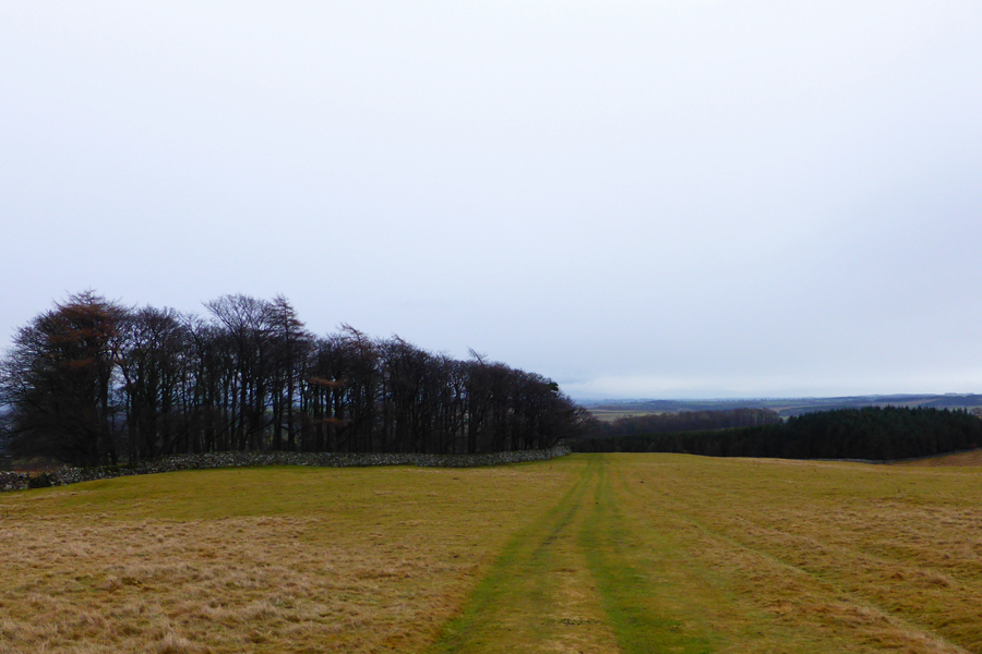
From the Cockpit Stone Circle we track further south passing burial mounds easily accessed from the path as we head towards the Cop Stone which is also linked to Bronze aged settlers. The moorland is wide open and if you weren't to know about its history it could be described as featureless which is why it pays to take notes of the many paths that cross the moor should you leave the main path as we did before breaking for lunch on the forestry east of Heughscar Hill summit.

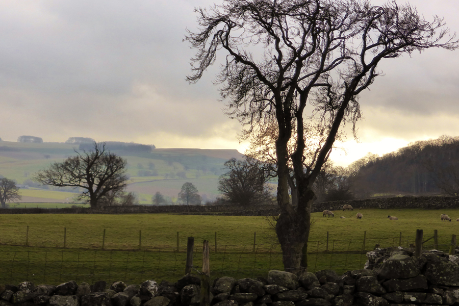
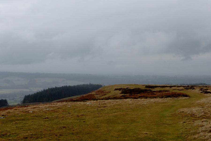
It was a turning into a dull day and any promise of those skies clearing quickly diminished a half hour into the walk, that isn't to say we didn't have a great afternoon out on the fell, even if we did get a little wet.

 
Wainwright Guide Book
The Outlying Fells
The Hill overlooks a rough plateau, Moor Divock, the site of many antiquities, suggesting that long before the Romans came the ancient Britons had already found the place to their liking.
 

Overview
Ascent: 1,230 Feet - 375 Metres
Outlying Fells Heughscar Hill
Weather: Highs of °C Lows of °C
Parking: Askham Village
Area: Far Eastern
Miles: 7
Walking With: David Hall
Ordnance Survey: OL5
Time Taken: 3 Hours
Route: Askham - Heughscar Hill - Heugh Scar - The Cockpit - Moor Divock - Cop Stone - Stone Circle - Askham Fell - Askham
 

Map and Photo Gallery


Askham Village 12:15pm 5°C

We were treated to bright spells during our journey east so much so I was forced to leave the sun visor down for much of the journey and soon arrived at the car park besides Askham Outdoor Swimming Pool. We parked easily and started to kit up while large gaps of blue sky started to appear above our heads allowing bright sunlight to escape through which illuminated any airborne water droplets. Feeling quite hopeful that we are going to stay dry waterproof trousers are neatly packed before leaving the car park and after a left turn as we head into the crossroads in the centre of the village where we then turn right passing an Art Studio which after being informed by David, used to be a Toy Shop.

From the crossroads the road rises as we pass rows of cottages which neatly line the lane, a strong smell of wood smoke which is drifting from a nearby cottage fills the nostrils as we steadily climb out of the village until the last Cottage aptly named 'Town Head' is passed to our right as views open out towards Knipescar Common towards the south.


Knipescar Common from Town Head, Askham.
We could have easily included Knipescar Common into todays itinerary but that would have meant rushing around which is something we was reluctant to do, instead I shall take in Knipescar Common while out collecting more Outliers in adjacent valleys during future walks.

Village life.
Shortly after leaving the village while heading towards Riggingleys Top this Landrover Discovery passed us complete with bails of hay where the back seats should be. Up ahead, after opening a gate the Farmer parked up in the middle of the field, opened up the back of his Landrover and started to unload hay out to a flock of waiting sheep and wild ponies.

Heughscar Hill summit cairn.

We followed a gentle grassy incline alongside a stone wall which rose towards the far eastern shoulder of the fell besides a wooded plantation (the same plantation we would each lunch in later) Here we pass two walkers who are stood on the corner of the wall and 'mornings' are shared. From the end of the wall it's just a short stroll towards the summit cairn by which time it has started to rain quite heavily leaving exposed fingers feeling cold.

With our backs to the rain we take our photos before heading out towards the Boundary Stone found just nearby.


Heughscar Hill Boundary Stone.
 

Tracing north towards Heugh Scar.
Not much in the way of conversation as the rain began to come in sideways over open moorland. Up ahead is Heugh Scar, named afer the limestone which makes up the north west shoulder of the fell, it's only a short distance but the driving wind and rain makes it feel much longer, time to add a pair of gloves me thinks.

That's Dunmallard Hill seen over Pooley Bridge and Howe Hill caravan park.
Sadly there wasn't much in the way of views, especially during the wintery showers.

Looking back on Heugh Scar.
 

Arthur's Pike, Hallin Fell and Place Fell above Ullswater.

The rain came and went but the view along Ullswater told us more was on its way. You may notice the sheep on the hillside in the foreground who were beckoned by a tractor carrying a huge bail of hay (which consequently struggled to unload)

The sheep charged from left to right crossing the path ahead of us with quite a pace which I managed to record using my mobile phone, I guess you had to have been there to have seen the funny side as a flock of sheep all run towards the tractor which after ten minutes of trying to unload the bail by spreading it out across the fell side seemed to lose his temper and ended up dumping it in one big heap, best stop filming before I get run over by a disgruntled farmer.


Stopping to look back on Heughscar Hill while on route to The Cockpit.
 

The Cockpit Stone Circle.

The scattered showers continued well into our route towards the Cockpit Stone Circle which thankfully didn't stop the few walkers we had just passed and the odd few now on Heughscar Hill summit, it would see the rain wasn't enough to keep everyone away.

I de-shoulder while I ease my cold fingers into my gloves all the while struggling to locate my little finger inside the glove, grrr don't you just hate it when that happens.

This photo like many others was taken while David acted as a rain and wind break. We press on towards the Cop Stone all the while feasting our eyes over the burial mounds along the way while casting ones mind back to the early Britons who settled here during the Bronze age.


The Cop Stone.
The Cop Stone is actually a glacial erratic stone around six feet in height and one metre wide. It is thought that a ringed cairn was placed around its base by Bronze Age settlers and was recorded in the late nineteenth century as having ten stones around its perimeter although few of these stones remain.

Heughscar Hill in relation to the Cop Stone.
From the Cop Stone we turn heel and head back along a short section of the path before detouring to visit one more large Stone Circle which lies just yards from the path.

Stone Circle, Moor Divock.
 

Fell Ponies, Askham Fell.
 

Fell Ponies, Askham Fell.
This pony was quite tame and let me pat stroke her head, these are the same ponies we had seen ealier, thankfully they had just had lunch which reminds me whilst it was still raining we thought we'd seek shelter in the wooded area just beyond the ponies.

Lunch time.

Had the rain not have got heavier we would have remained outside the wood but the rain continued to pour which saw us seek out drier conditions even if it meant eating lunch whilst stood up.

Oddly while entering the woods a white cross bearing the name 'David' is passed which was left leaning against a tree, naturally David is a little spooked by this.

Perhaps it was left by a loved one who's way of saying that 'David' loved this area. Hopefuly, he wasnt buried beneath the cross.

This tree lined view points towards Askham village which is where we are heading next as lunches are packed away and we head back into the...


...Ohh...it's stopped raining.
This is Rigginleys Top, a smooth grassy decline all the way back to Askham Village.

Askham Village.

We ease our way back into the village where thankfully the showers remained at bay and once again we are treated with the smell of wood smoke which still bellowed from the same chimney as earlier. It was spoke of how perhaps life hasn't affected Askham the way it may have Grasmere or Ambleside and long may it stay that way.

With cars reached and kit packed away hands are shaken as I slot my car into reverse gear and begin the hour and a half journey home, half of which was done with my sun visor tipped forward all the while I can still recall as I write this, the burning smell of wood smoke from a village and area of Lakeland left almost untouched by time.


Back to top