The Outlying Fells, Dunmallard Hill from Pooley Bridge

28th January 2017

Last weeks saw some pretty clear days on the Lakeland fells but this is January which means such days usually come to an end right about when the weekend starts and this weekends forecast was looking grim with rain predicted to fall well into the afternoon although it was forecasted this would push east around midday, however confidence still remained low.

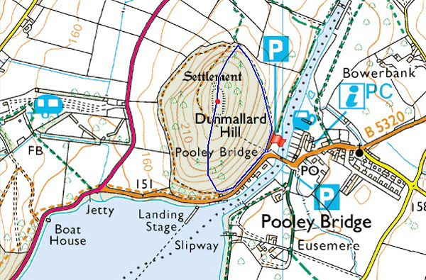
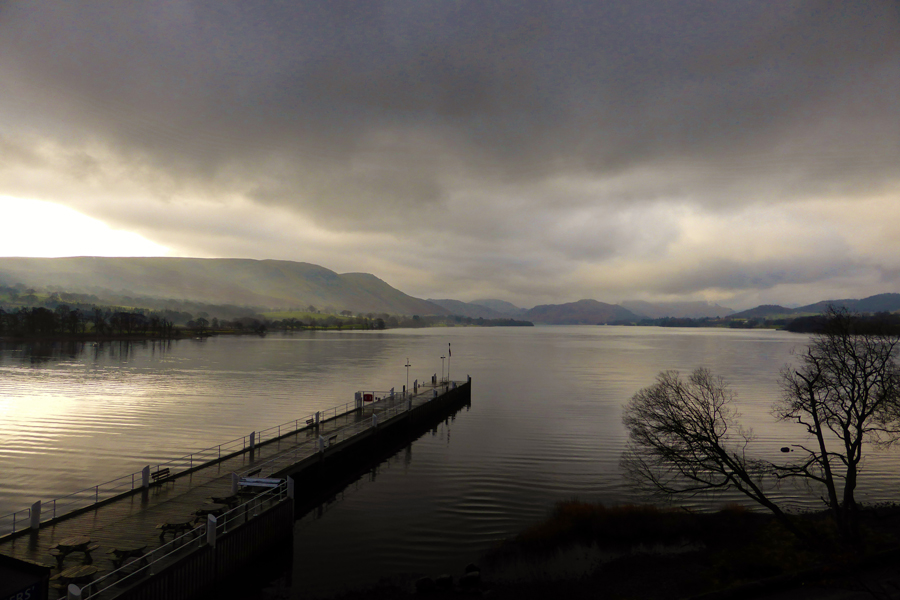
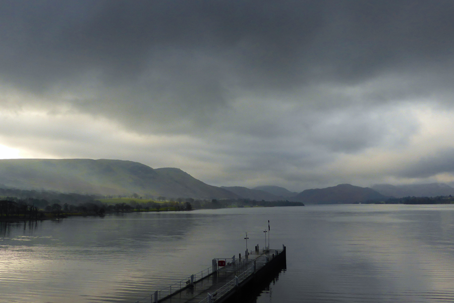
Because I'm lucky enough to be able to choose where I walk I thought why not stay below the cloud and picked two walks from my Outlying Fells project. The two Outliers that I choose were Dunmallard Hill and Heughscar Hill, both within close proximity of one another.

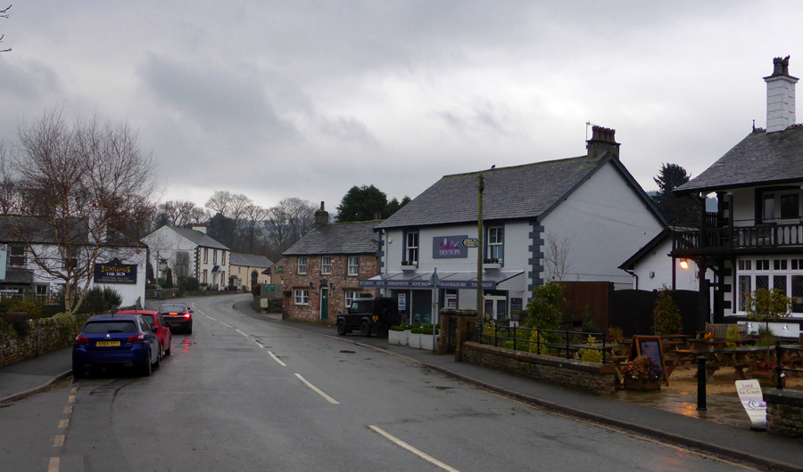
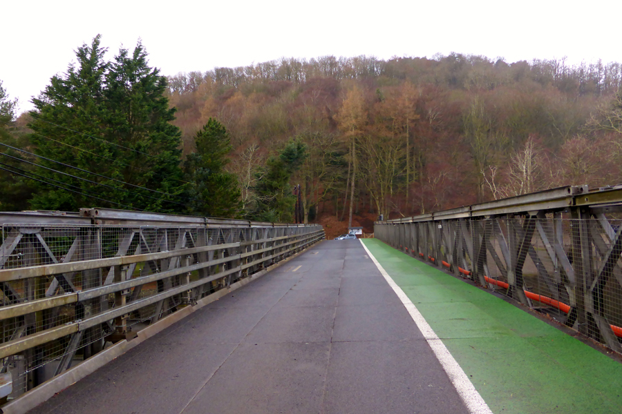
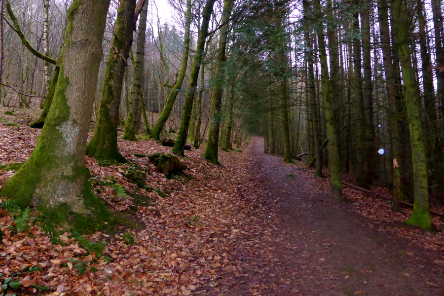
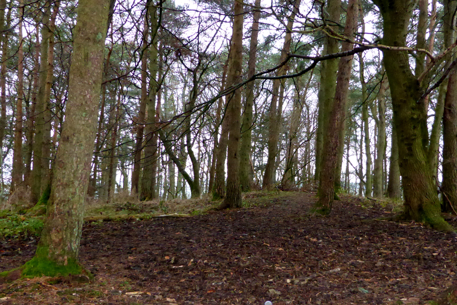
First lets start with Dunmallard Hill, I must have drove past this ancient hill fort a thousand times and like David, who joins me today have never actually stopped and took the trouble to walk to its tree topped summit, this morning we are going to do just that starting from Pooley Bridge.

 
Wainwright Guide Book
The Outlying Fells
The hill is referred to in early records as Dunmalloght. Its popular name in the 20th century is Dunmallet.
 

Overview
Ascent: 351 Feet - 108 Metres
Outlying Fells: Dunmallard Hill
Weather: Overcast With Rain Clearing. Highs of 5°C Lows of 5°C
Parking: Car Park, Pooley Bridge
Area: Far Eastern
Miles: 0.80
Walking With: David Hall
Ordnance Survey: OL5
Time Taken: 45 Minutes
Route: Pooley Bridge - Dunmallard Hill - Pooley Bridge
 

Map and Photo Gallery


Pooley Bridge 09:45am 5°C

Due to a weak forecast David was forced to cancel a walk that he had planned with Rod which would see them both take on Wandope via Addacomb Hole, a walk which demanded a clear day. It was only after e-mailing David about something unrelated did he mention that he and Rod had to cancel their plans due to the weather which was when I asked that he was more than welcome to join me on todays walks.

This was late Friday evening and one of the things that I mentioned to David was that I would be starting the walk mid morning if only to let the rain clear which thankfully paid off, well for now that is. We agreed to meet at 10:00am in the village and if we couldn't park we would drive back to the car park on the other side of the bridge and pay the parking meter our hard earned shillings. As it turned out I arrived around twenty minutes early to find David already parked up which at least meant, an earlier than planned start which was a good thing because it had just stopped raining too.


Dunmallard Hill seen above the newly replaced Pooley Bridge.

We kit up behind our cars and both agree there was no need to shoulder packs nor bother with our walking poles which are left in the cars. Soon we head back over the new bridge and cross the River Eamont towards the car park where this walk officially starts. After crossing the bridge we arrive at an information board which displayed pictures and information about the devastating floods which eventually caused the original bridge which dated back to 1764 to collapse, even after a year seeing the destruction on display still left us feeling shocked as if it was just yesterday.

At the entrance to the car park a signpost directs us through a gate from where we are presented with the choice to walk clock-wise or anticlock -wise around the base of the fell, we go with the latter.


Heading through the woods at the start of the walk.
We follow a wide path into thick woodland which gains ascent first steadily towards the northern tip of the fell where views are strictly limited with the exception of a clearing we found where views opened out north towards Hole House Farm. From the clearing we would start the short, but steep ascent towards the summit which is reached in hardly no time at all.

Dunmallard (Dunamallet) Hill summit.

Continuing with our ascent we arrived at a clearing indicating the highest point of the fell, it was here David grabbed my arm and told me to shush! he had spotted a deer which gingerly trotted off down the fellside into the dense undergrowth, I only caught it hind end but it was a glimpse that drew a highlight as I crept over to see could I catch it again by which time it had completely disappeared.

An ancient hill fort is thought to occupy the summit but finding any remains under the thick undergrowth was highly unlikely, as too was a trig station which is also buried.

From the summit we follow a good path southwards opting not to double back but to try and take in the views before heading back to the village.


Arthur's Pike and Bonscale Pike seen above Ullswater Steamer landing stage.
Despite the rain keeping away the morning light was still incredably low restricting any long distant views. Here we are perched above the road into Pooley Bridge where we agreed it was one of the best views of Ullswater despite todays conditions.

A hint of sunshine over Park Foot.

The rain had kept off and with a glimpse of sunshine every now and again it appeared that the low cloud was clearing making way for some possible bright spells which lifted spirits. Once we were back at the car park we crossed the Eamont once again and entered the village which was just a quite as we had left it just under an hour ago with the exception of a couple of dog walkers about.

Feeling quite pleased with our exploration of Dunmallard Hill we arrive back at the cars where David removes his waterproofs before heading out towards Askham to start our next walk which should only take around twenty minutes or so.


Back to top