The Outlying Fells, Flat Fell and Dent from Wath Brow

14th April 2017

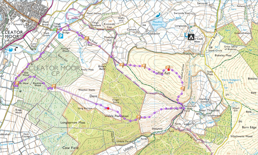
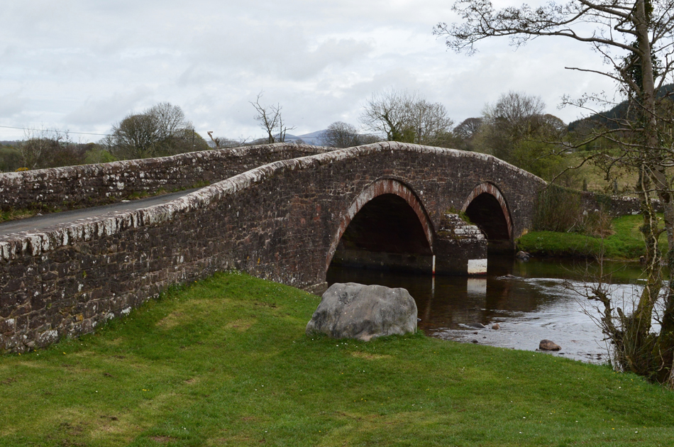
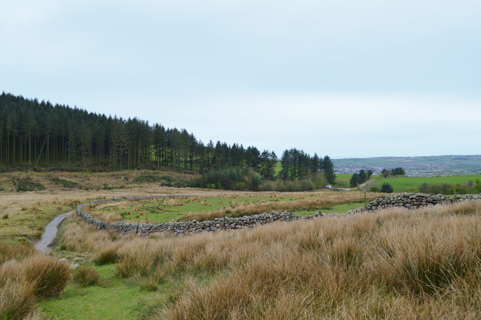
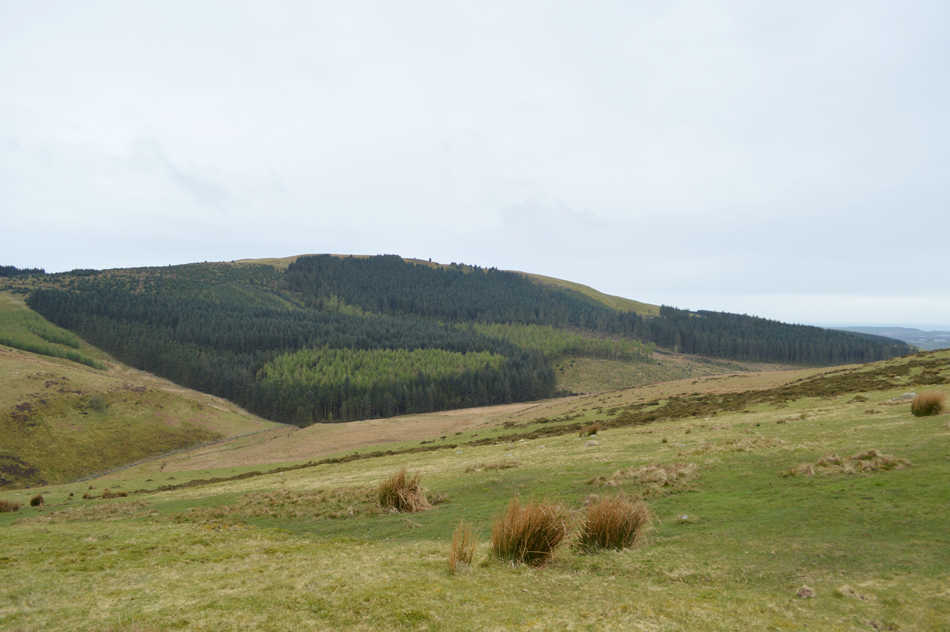
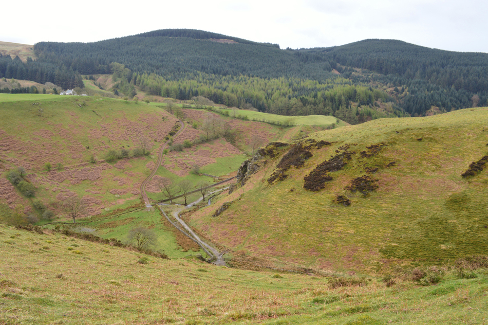
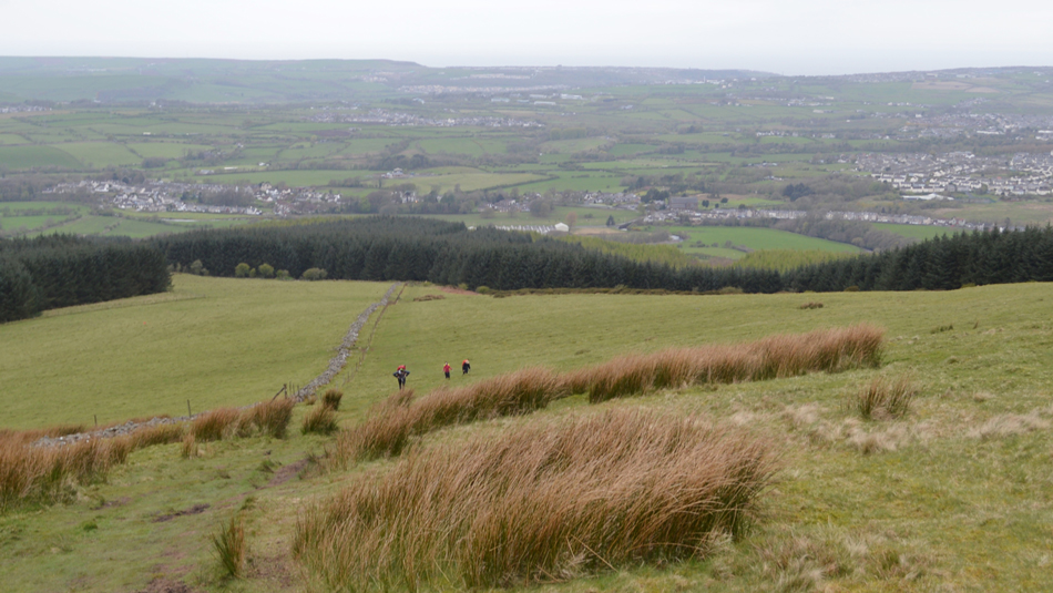
Todays final Outlying walk of the day is Flat Fell and Dent or "Dint" as it's more locally known collecting Flat Fell first from Wath Brow. Both Flat Fell and Dent have been on my to do list for years even before I took on the project of walking the Outlying Fells I really wanted to pay homage to two of Lakleands most westerly fells. The route starts from Wath Brow a lakeland hamlet found just outside Cleator Moor todays official starting point. From Wath Brow we follow the main road to the junction with Nannycatch Road which steadily ascends towards the lower slopes of Flat Fell as views open out south west over the heavily wooded flank of Dent, a familiar side of Dent to us all which can be seen from Cold Fell Road.

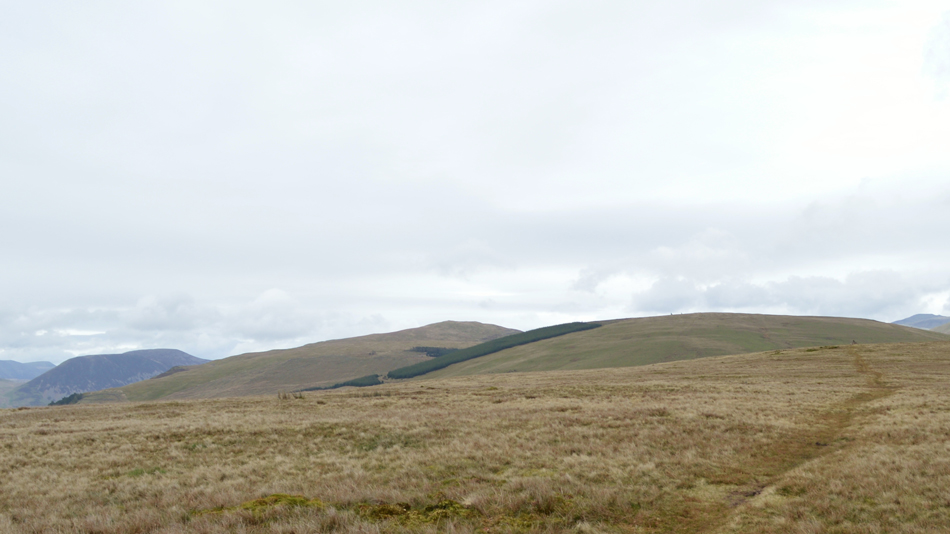
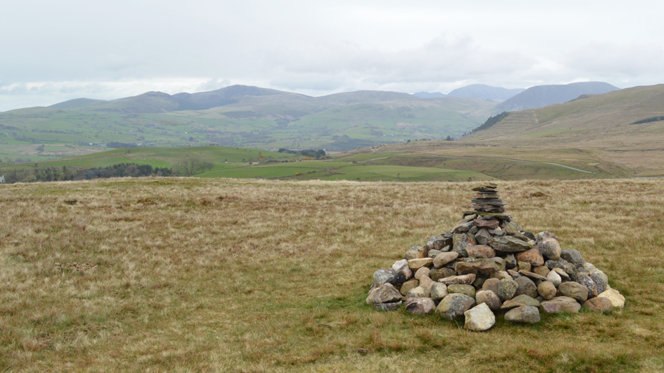
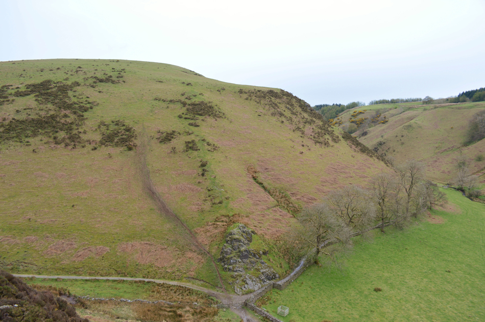
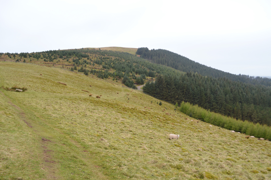
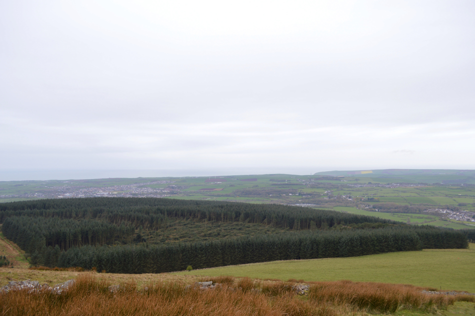
Flat Fell is a broad expanse of grassland as views expand over towards Great Borne with Blake Fell beyond, these summits although familiar take some familiarising as they are not often viewed from so far west, I do this silently and in stride. The summit of Flat Fell offers a panoramic of Coastal views to the western extremes of Lakeland and its pays to observe for it is yet again, a small summit with big views. We trace south and descend steeply before crossing Nannycatch Gate from where we pluck our way steeply onto Raven Crag before taking the grassy east ridge all the way to Dent summit where today, we are flocked by Coast to Coasters two of whom raised an eyebrow or two.

This is Flat Fell and Dent from Wath Brow.

 
Wainwright Guide Book
The Outlying Fells

-Flat Fell

One does not expect to find open and unspoiled rural scenery only half an hours stroll from from an industrial environment, and the transition from the built up plain of West Cumberland to the tranquil upland of Flat Fell is sudden and complete.


Overview
Ascent: 1,393 Feet - 424 Metres
Outlying Fells 2, Flat Fell - Dent
Weather: Showery With Some Bright Spells, Rain Later, Highs of 12°C Lows of 10°C
Parking: Parking Spaces, Wath Brow
Area: Western
Miles: 5.4
Walking With: David Hall
Ordnance Survey: OL4 -
Time Taken: 2 Hours 50 Minutes
Route: Wath Brow - Wath Bridge - Nannycatch Road - Flat Fell - Nannycatch Gate - Raven Crag - Forest Road - Dent - Black How - Wath Bridge - Wath Brow
 

Map and Photo Gallery


Wath Bridge 12:40pm 12°C
We park easily and with packs shouldered we soon find ourselves crossing the River Ehen via Wath Bridge before continuing along the lane to the junction with Nannycatch Road which is just a short stroll up ahead.

Dent from Nannycatch Road.
Despite the rain holding off (for now) it sure is turning into a mild afternoon, here we get a view over Dent between a clearing along the tree lined lane.

Looking back over the top of Nannycatch Road
Had we of continued along Nannycatch Road it would have lead us into a micro valley eventually coming to an end at Nannycatch Gate but for now it's time to head up onto Flat Fell.

Pleasent walking all the way towards Flat fell summit.
With views over Blakley Raise and Great Borne in the distance.

Blake Fell, Gavel Fell, Grasmoor and Great Borne from Flat Fell summit.
By the time we arrived at the summit of Flat Fell the inevitable happened and we started to feel rain drops in the air and the skies started to thicken, it's fair to say that we had expected to of been walking in the rain much earlier so we can only look at it as a bonus.

Dent from Flat Fell summit.
 

Looking down on Nannycatch Gate towards Raven Crag as we descend Flat Fell South ridge.
We follow Wainwright's original route which will see us gain Raven Crag which is the short but very steep craggy outcrop above Nannycatch Gate.

Views back over Nannycatch Gate towards Flat Fell South ridge.
Well, that was quite a steep descent followed by an equally steep ascent on Raven Crag. There is a path to follow all be it a faint one but the main path onto Dent can be found further along the path which disappears in the right of the photograph.

Dent is just up ahead.
The rain shower that started back over on Flat Fell is now falling much harder and it feels like the tempreature has dropped too with the tips of my fingers starting to numb. Just up ahead we cross paths with the first of many Coast to Coasters one of whom was American who polietly asked how far was Ennerdale, after a brief conversation we point them in the right direction before passing a solo woman Coast to Coaster who asked the same question and again we are happy to help.

Dent summit cairn.

We arrived at the summit after passing two male walkers, perhaps in their mid twenties when one asked "can you answer us a question?" is it really necessary to carry a compass when walking the Coast to Coast"

Did he really just ask that? I'm stunned...

David replies rather sarcastically "yes if you don't want to get lost"

By now we had passed one another as the chap asked again "so you think it's better we carry one to which his mate replies "I've always thought they were overrated"

We are both failed by words.

Views over Uldale Plantation and Longbarrow Moss towards St Bee's Head
 

Descending Dent.
With views over Cleator Moor, Whitehaven and Frizington with more Coast to Coasters on route.

Looking back through Black How Wood.

The rain continued to fall but needless to say spirits remain high as we took in the descent towards Black How Wood where we stopped and broke out lunch within a coppice of dry woodland and speak of future walks and indeed tomorrows epic Fairfield which hinges on a dry forecast.

With three Outlying fell walks complete a feeling of accomplishment dawns over me, it maybe raining but that didn't stop the enjoyment of collecting four new Outlying summits where horizons are broadened and yet again, a new outlook on the on the Lakeland Fells is revealed.


Back to top