Walking the Outlying Fells, Howes from Swindale Head

30th April 2017

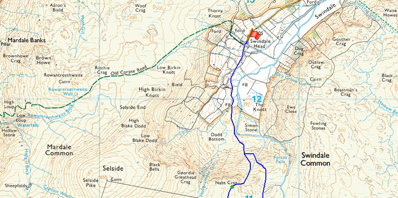
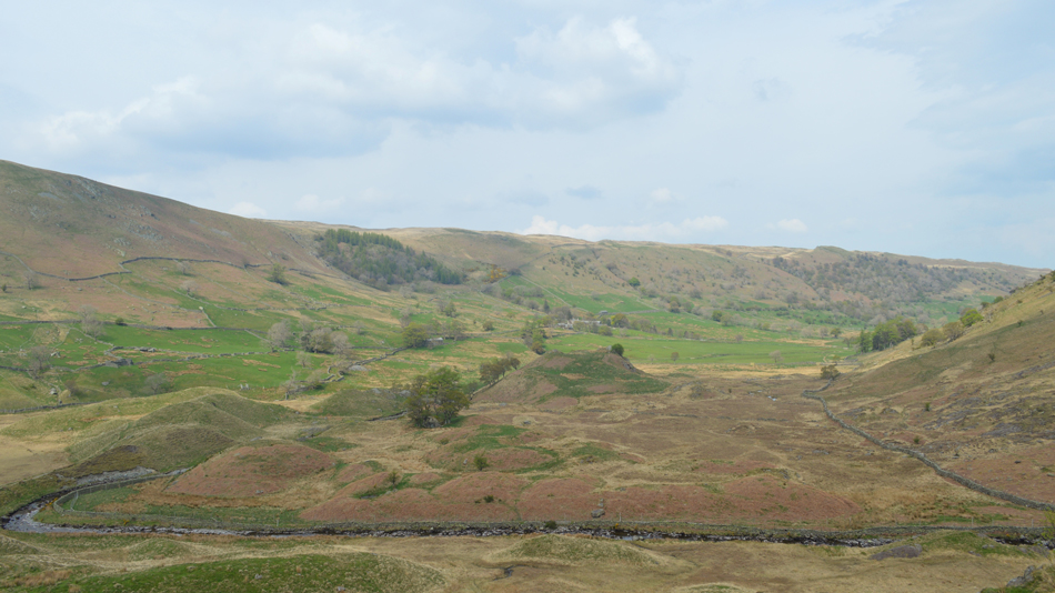
Walk two in todays Outlying Walks collects Howes via Nabs Moor from Swindale Head meaning I have a little further walking to do into the valley before I reach the walks official starting point at Swindale Head.

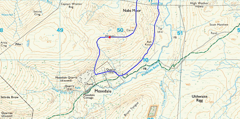
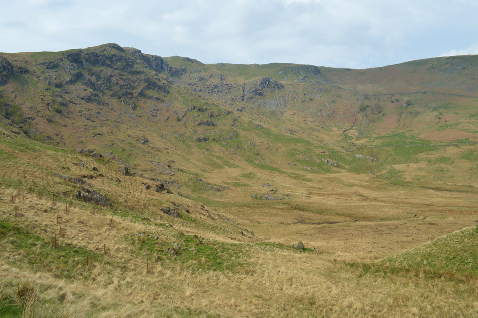
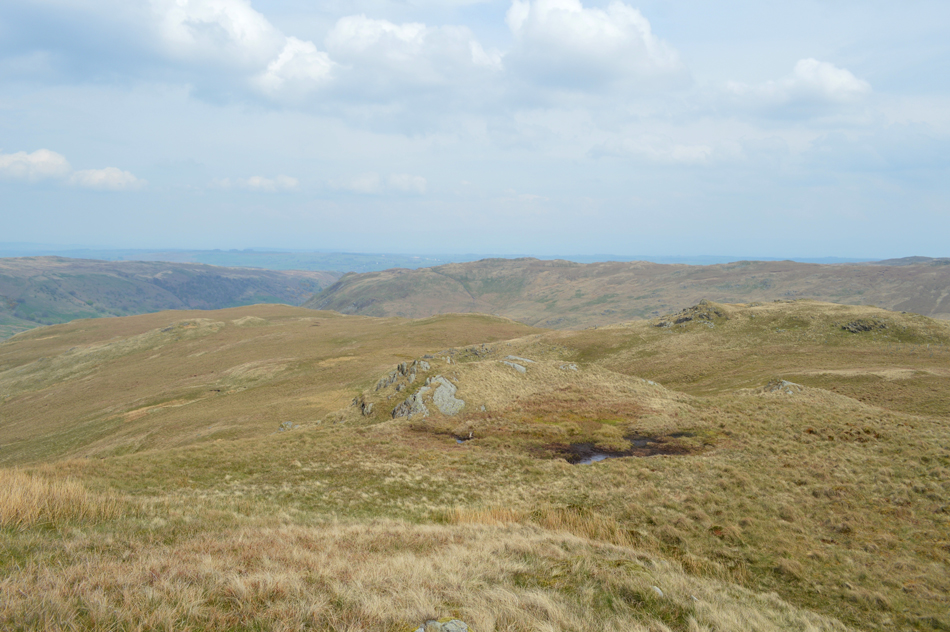
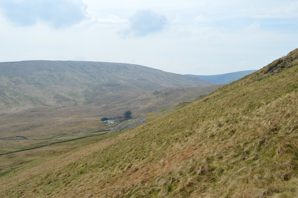
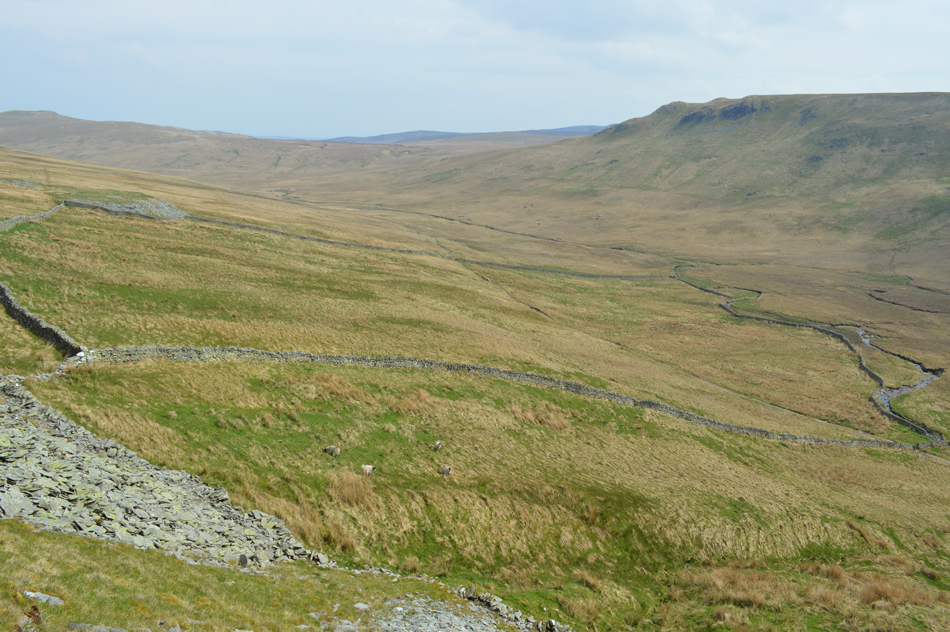
The routes statistics are almost identical to my previous walk, in fact I completed both walks within the space of ten minutes of one another with the exception that today I will gain Nabs Moor via Nabs Crag, or very near within its vicinity via a nameless beck due east of the crag itself. Unlike my previous walk where I encountered faint paths this route from the top of Nabs Crag is almost pathless and at times hard work underfoot crossing thick hummocky tussocks common to the area.

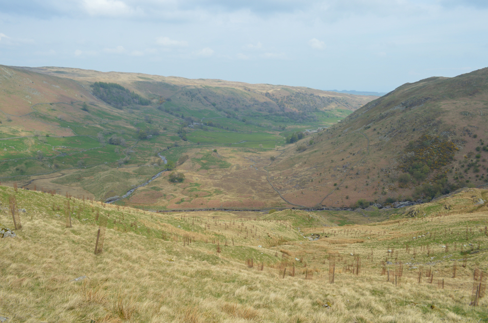
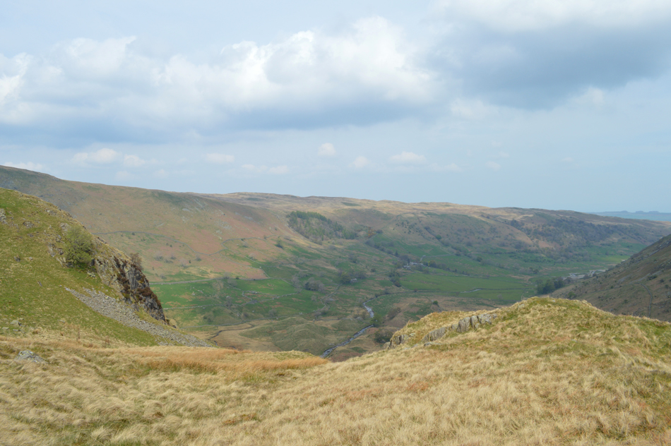
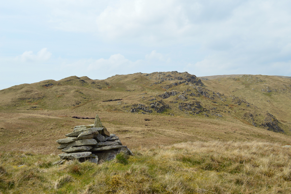
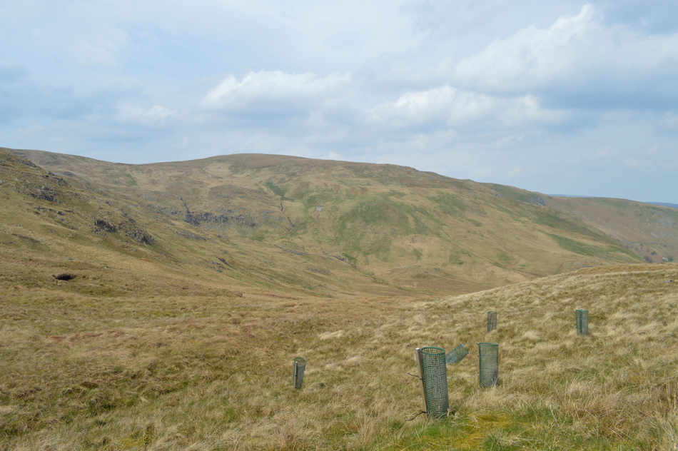
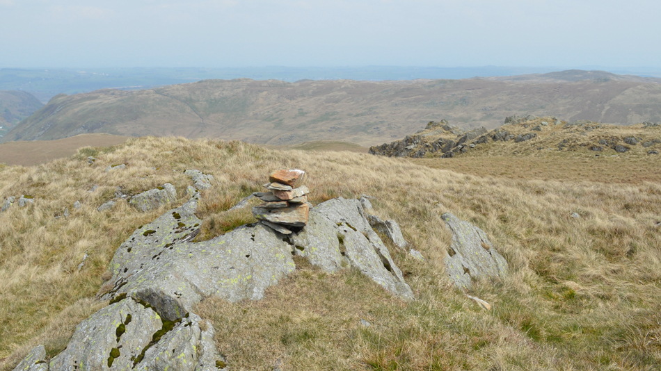
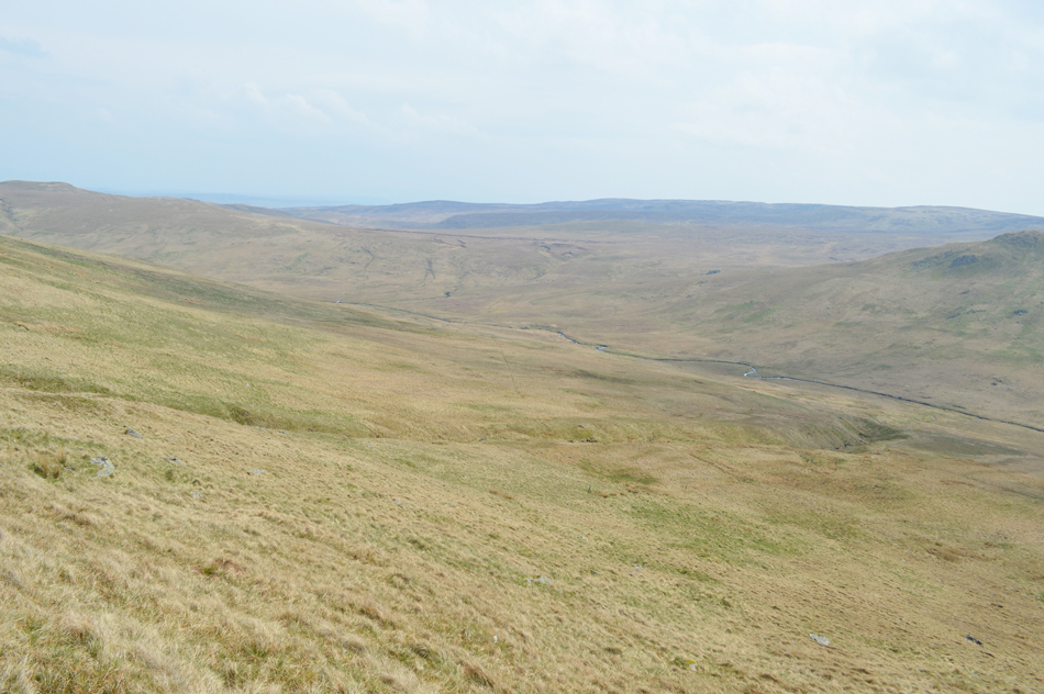
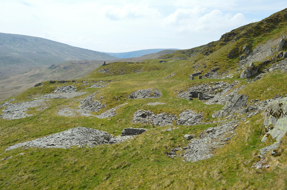
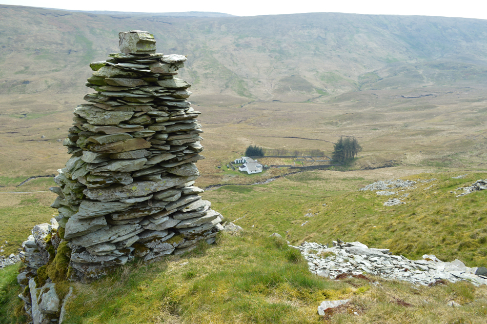
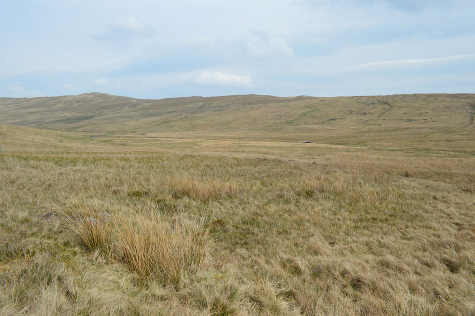
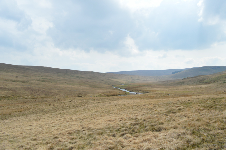
From Nabs Crag it's a steady rise towards Nabs Moor summit cairn from where Howes summit is just a short distance away whereafter I will track a pathless descent towards the abandoned Mosedale Mines situated directly above Mosedale Cottage before I track back over the head of the valley after experiencing once again, the remoteness that only the Mosedale valley can provide.

 
Wainwright Guide Book
The Outyling Fells

-Swindale

Swindale is unspoilt. Lets leave it that way.
 

Overview
Ascent: 1,100 Feet - 335 Metres
Outlying Fells: Howes
Visiting: Nabs Moor
Weather: Sunny Periods Turning Increasingly Hazy. Gust Across The Summits. Highs of 17°C Lows of 15°C
Parking: Truss Gap, Swindale
Area: Far Eastern
Miles: 5.25
Walking With: On My Own
Ordnance Survey: OL5
Time Taken: 3 Hours 20 Minutes
Route: Swindale Head - Nabs Crag - Nabs Moor - Howes - Mosedale Quarry - Mosedale Beck - Swindale Head
 

Map and Photo Gallery


Swindale Head 11.40am 15°C

After passing through Truss Gap where I spotted possibly the largest walking party I have ever seen close to the new Dam, I thought It best I get a healthy lead so I quickened my pace a little which resulted in a little brow mopping thereafter with midday temperatures here in the valley well into double figures by now.

Up ahead a new Deer gate has been erected close to Swindale Head Farm which is held open for me by a family of four who were the first people I'd seen all day, pleasantries are exchanged before I take in the scenery below Nabs Crag while I figure the best means of reaching the nameless Beck from which I'll ascend Nabs Crag by.


Nabs Crag from Swindale Head.
 

Geordie Greathead Crag seen over Dodd Bottom.

After passing the family of four I continue towards the head of the valley before steering an abrubt right leaving the path for a pathless ascent towards the nameless Beck.


Views through the Swindale Valley from my ascent of Nabs Crag.
My ascent appears to be much steeper than I had observed from High Wether Howe earlier!

Swindale from Nabs Crag.
As todays route didn't require an actual summit of Nabs Crag, and, after getting my breath back I start to trace a pathless route towards Nabs Moor summit found just over half a mile away above a rocky outcrop.

Nabs Moor summit is just up ahead.
After having no option other than to scale a wire fence Nabs Moor appears just up ahead, it's almost lunch time and my plan is to find a nice peaceful spot out of the wind where I'll wine and dine myself on cold beef rice and chopped baby tomatoes.

The view back towards Nabs Crag from Nabs Moor.
 

Howes seen from Nabs Moor summit cairn.
I wouldn't quite say that I'd earned my lunch today but after the ascent of Nabs Crag followed by my pathless hummocky ascent towards Nabs Moor my legs could do with a rest.

Lunch with a view towards Selside Pike.
From the summit cairn I dropped just a few metres which was more than enough to get below the wind then found myself a nice dry spot to each lunch from.

Extended views over Howes and Nabs Moor towards High Wether Howe, Fewling Stones and Outlaw Crag.
 

A very similar view from the summit of Howes.

After lunch and soon feeling refueled I gained Howes summit within what felt like a few minutes but was actually around ten. From Howes my route will now see me descend into Mosedale first taking in Mosedale Quarries and Mosedale Cottage.

After a quick check on my position I was on my way.


Descending into Mosedale with views of Mosedale Quarries, Mosedale Cottage and Tarn Crag.
 

Remote, peaceful, isolated, and tranquil.
You name it, the Mosedale valley has it all.

Mosedale Quarries.
Where once green slate was quarried right up until the 1920's

Views over Mosedale Cottage from the beacon at Mosedale Quarry.
Although Mosedale Cottage was once used by Shepherds it is thought that the cottage was actually built for the miners who worked the mines above. Now, Mosedale Cottage is a popular Bothy which is owned and supported by Mountain Bothies Association.

Seat Robert and Burnt Tongue seen over the Mosedale Valley.
 

Mosedale Cottage.
There appeared to be a hype of activity mainly from workers at the cottage so I chose to keep out of the way, instead I pick up the old cart-track and begin my walk through the valley while taking in the views of my mornings work over Seat Robert and High Wether Howe.

Scam Mathew and High Wether Howe from Mosedale.
I continue to follow the cart-track which comes to a end on the flanks of Howes, here a prominent path rises slightly through dead bracken alongside a ruined stone wall passing a familiar sheepfold along the way as views back through the valley continue to stir the mind.

Standing the test of time.
 

Mosedale Beck as I head back towards Swindale Head.
 

The Drumlins and Swindale Beck from Swindale Head.

Unfortunately I am unable to pay a visit as Wainwright suggested to Forces Falls which appear to be busy with families and dogs barking which may not be how Wainwright would of remembered it.

"Here is an unknown corner of Lakeland that would be ruined by picnickers if it were more easily accessible" A.W

Time of course has changed since Wainwright wrote those words and for me it's not the fact that Force Falls are busy with families and dogs it's just that time is pressing on and I must be getting on.


Simon Stone.
Found close to the banks of Swindale Beck within the drumlins.

Heading back to Lower Swindale via Swindale Head.

With my walk far from over I am able to reflect on two fantastic walks taking in what the Swindale and Mosedale valleys have to offer all of which is done under a warming afternoon sun which I do while looking back on todays trodden ground, to the left of me the steep ascent of Nabs Crag which I look back on while observing had I chosen the best way up, yeah I think so, then I turn my head towards Fewlings Stones and a disappearing High Wetner Howe with its low light and strong winds which left dare I say, a wintery feel to the walk all the while I am surrounded, deep in the valley where cars are banned from this corner of Lakeland meaning I still have have a mile and a half before I reach my own, and quite rightly so.


Back to top