The Circuit of Devoke Water

24th June 2017

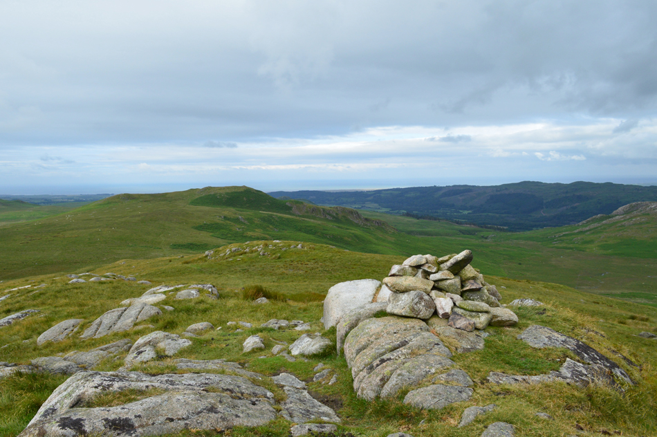
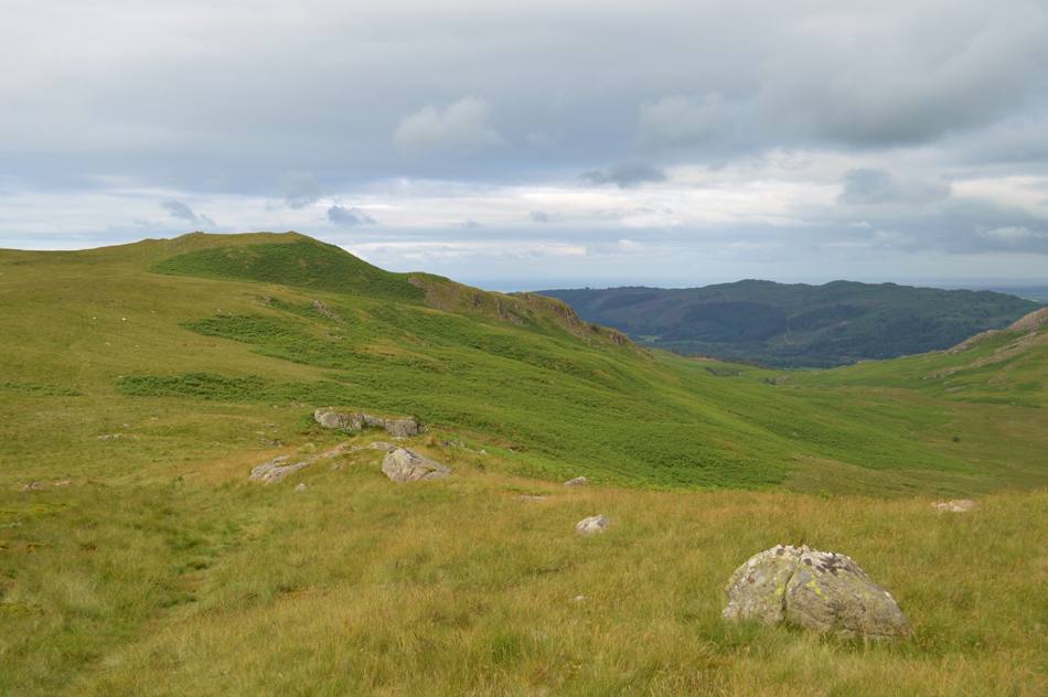
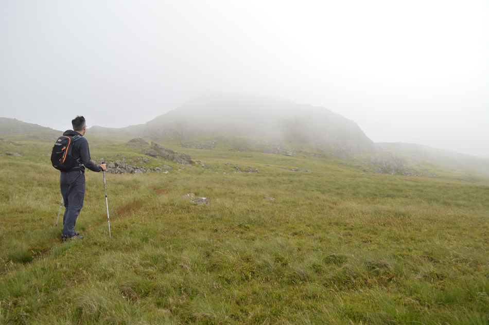
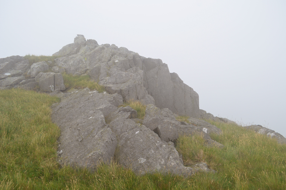
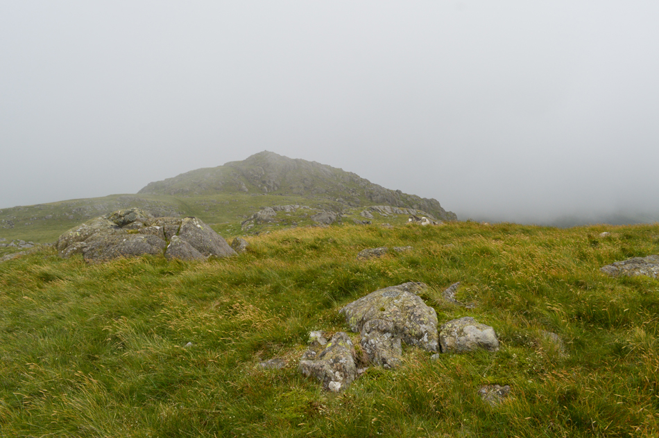
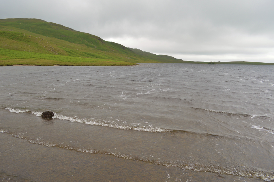
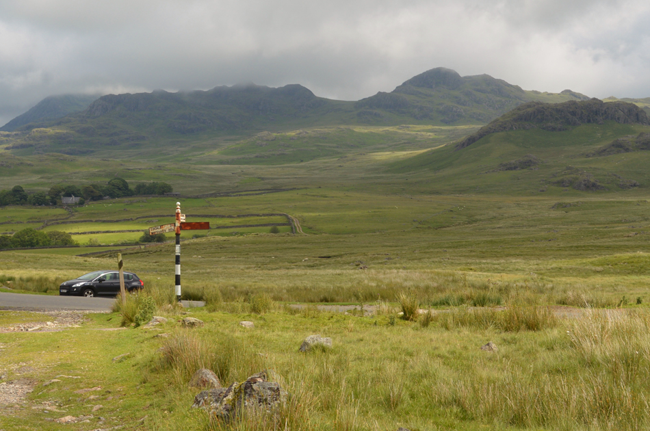
After our mini heatwave Autumn it would seem returned to the Lakeland fells with lower than advarage temperatures mixed in with low cloud and the odd shower. Because of this I have planned two Outlying walks where hopefully I would remain below the cloud in a area of the district that isn't particulaly new to me but new ground and certainly new summits.

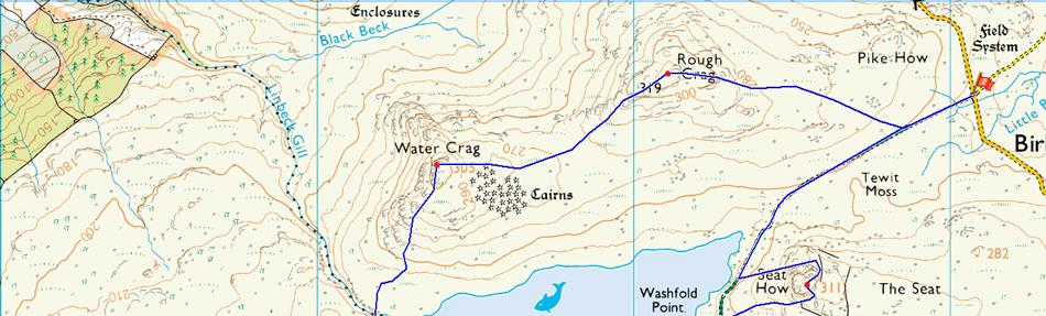
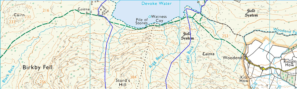
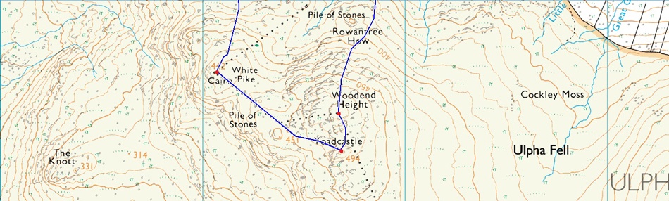
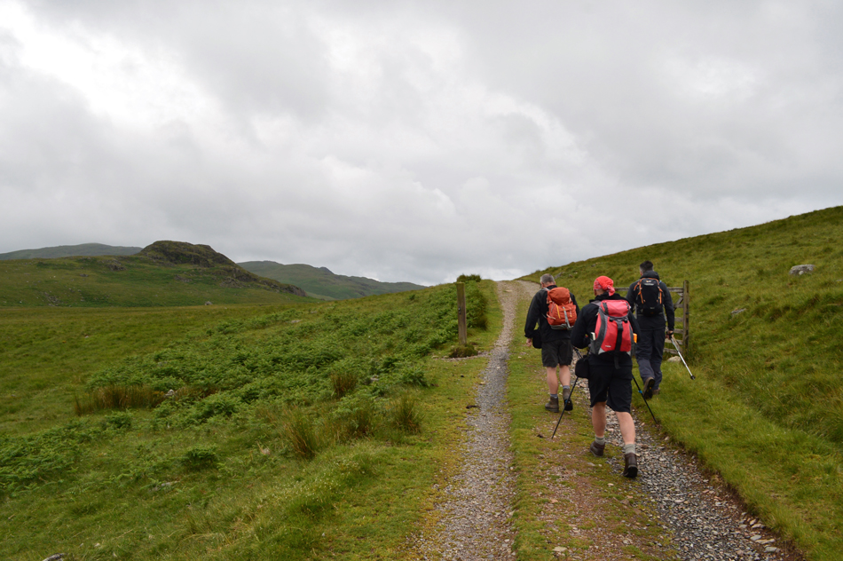
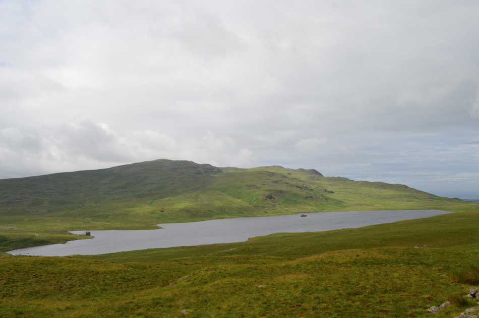
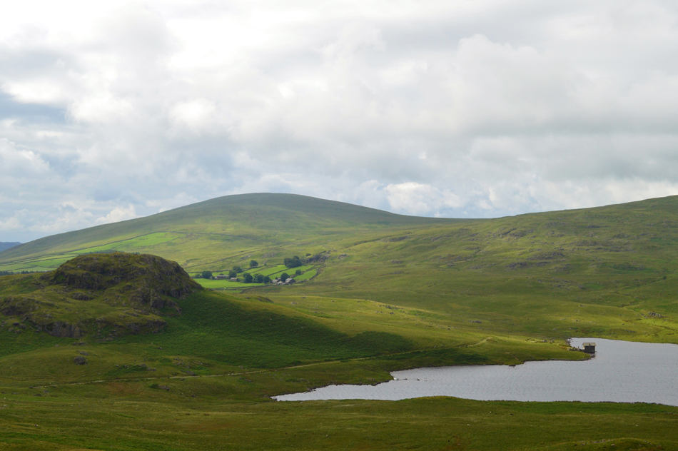
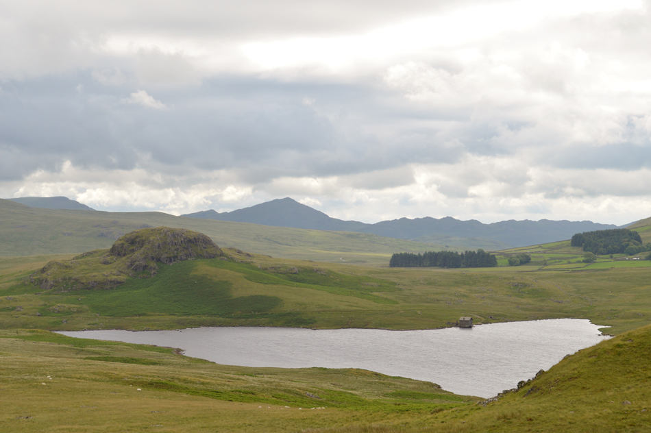
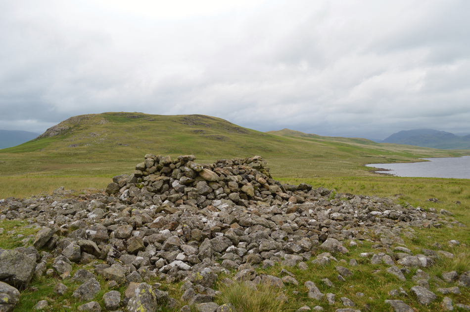
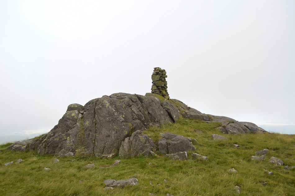
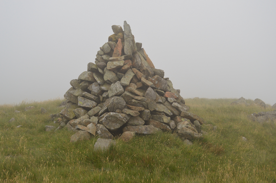
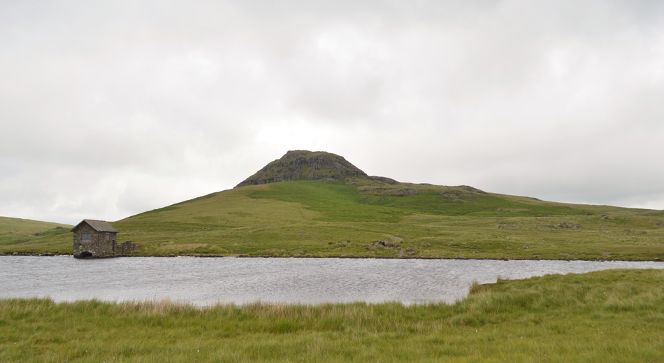
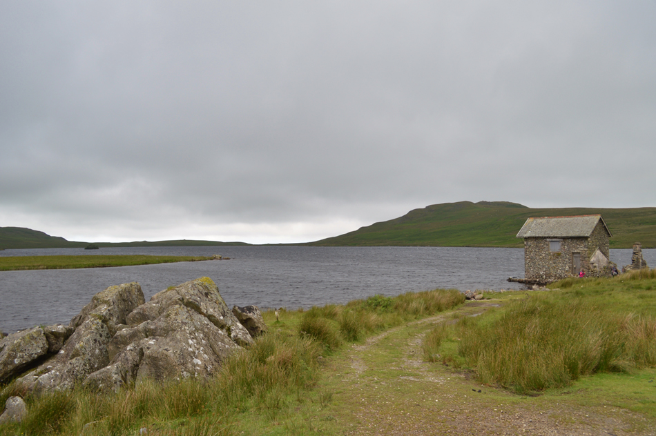
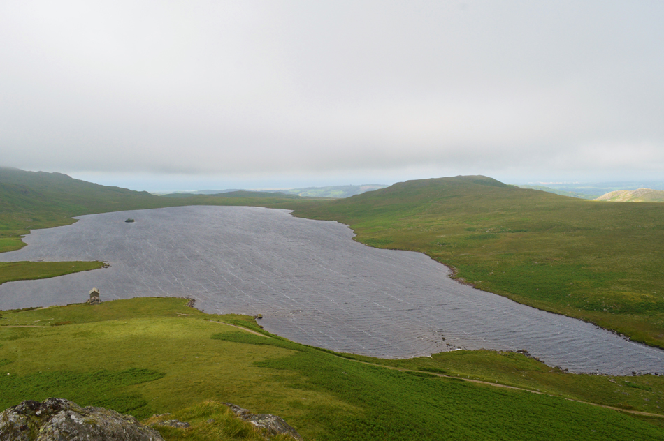
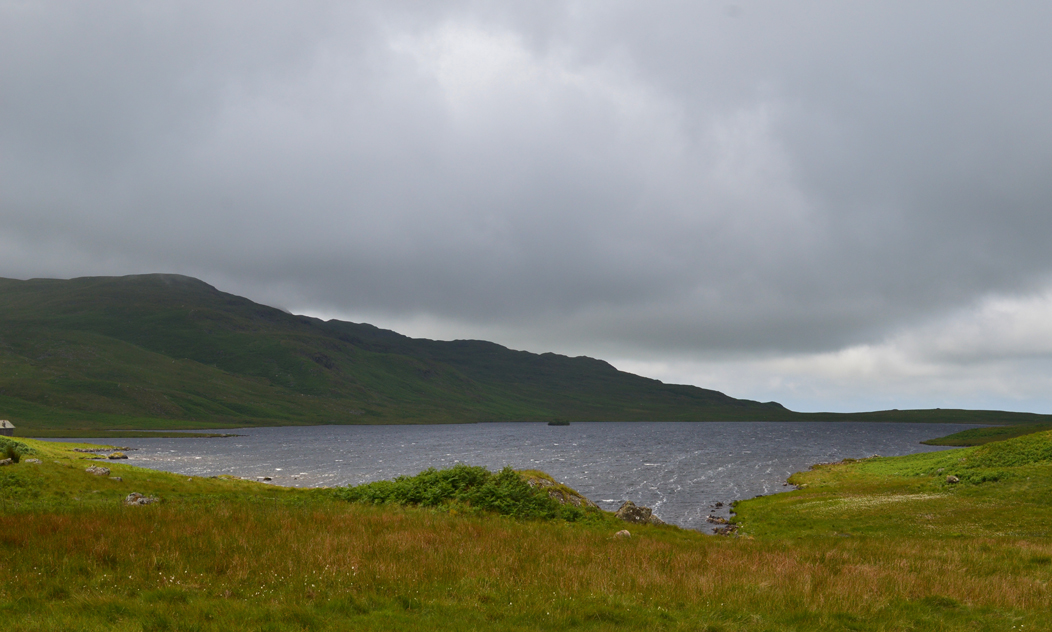
The first of todays two walks will take in the Outlying summits around Devoke Water by following in the same route as Wainwright in an anti-clockwise direction, a walk that I have always wanted to do long before coming up with the idea to complete the Outlying Fells and today I got that chance.

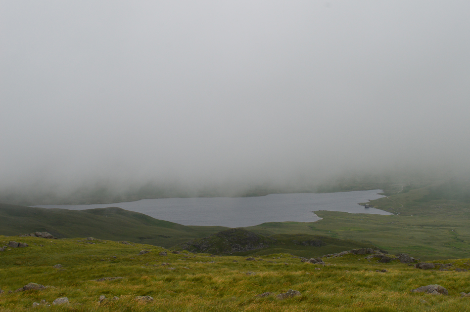
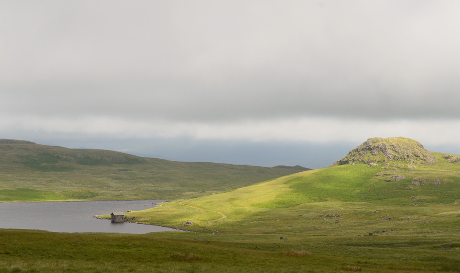
Even in low cloud this route can be enjoyed and as I mentioned to the lads a return trip is already planned where instead of following Wainwrights original route I'll lap up a collective of Outliers including the Devoke Water fells perhaps from the Corney Fell road safe in the knowledge that I know the joys of walking in this area of Lakeland can bring.

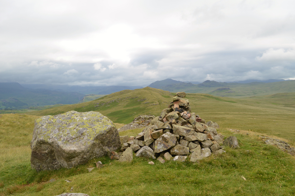
But for today we are guided by Wainwright when even on the odd occasion we even managed to follow his instructions word for word.

 
Wainwright Guide Book
The Outlying Fells
The large tarn of Devoke Water, a popular resort of anglers and bathers, occupies a shallow basin in a surround of low fells, the tops of which yield the finest views of the mountains circling the head of Wasdale.
 

Overview
Ascent: 2,250 Feet - 686 Metres
Outlying Fells: 6, Rough Crag - Water Crag - White Pike - Yoadcastle - Woodend Height - Seat How
Weather: Overcast To Start With Some Bright Spells. Low Cloud And High Winds Over The Summits. Highs of 13°C Lows of 16°C
Parking: Parking Spaces, Birker Fell Road
Area: South Western
Miles: 5.5
Walking With: David Hall, Father Shaun Church & Rod Hepplewhite
Ordnance Survey: OL6
Time Taken: 3 Hours 15 Minutes
Route: Birker Fell Road - Rough Crag - Water Crag - White Pike - Yoadcastle - Woodend Height- Devoke Water - Seat How - Birker Fell Road
 

Map and Photo Gallery


Seat How as we head up the track towards Devoke Water 08:38am 16°C

With limited parking spaces on the Birker Fell road we had arranged to meet at Eskdale Green before travelling over the fell road in just the one car. Rod was already there when I arrived and by the time Shaun and David arrived soon after we'd pretty much filled up the car park with the exception of one space. David and Rod hadn't previously met Shaun who has been staying over at the Parish of Seascale while on holiday in Lakeland and after friendly handshakes Shaun fills us in on where he has been walking this last, very hot week, as it turns out we missed each other by just half an hour back on Scoat Fell last weekend, chances of that eh!

We're all soon kitted up and after agreeing that Rod's Peugeot 3008 was the biggest car we loaded up and drove out of Eskdale back towards the fell road. There are spaces for around four well parked cars at the bottom of the track as Rod reversed the car over sodden ground leaving the front two wheels half on/half off the tarmac if only for traction should it start to rain or worse, sink. We're all ready kitted up and all that was left was to lock the car and throw our packs over our shoulders before heading up the track towards the direction of Devoke Water.


Woodend Height and White Pike seen over Devoke Water.

Todays forecast was a mixed bag of everything really but predominently it was forecasted, especially over the western fells that the cloud would remain low for the best part of the day. Having agreed to walk in said area of the district we were quite surprised to find the cloud relatively high skimming well above our surrounding summits with even a hint of brightness here and there, it wasn't to last but nice while it did.

Here, after only a short while on the track we arrived at a stone cairn where we head right over open ground by following a prominent grassy trod towards our first summit of the day in Rough Crag, it wasn't long before the views started to open out over Devoke Water, Woodend Height and White Pike.


Water Crag from Rough Crag
Water Crag is just a short distance away and it's said that you can collect all six summits in under three hours, sometimes as quickly as two and half hours but seeing as we're yabbering away like there's no tomorrow it might be dark by the time we arrive back at the car.

That's Hesk Fell in the distance.
Seen over our last summit of Seat How, but seeing as I am following Wainwrights original route we won't be walking to Hesk Fell it will be collected later today on a different walk if that makes sense.

Water Crag is just a stroll away.
With Muncaster Fell seen over on the right.

Caw and the Dunnerdale Fells are silhouetted on the Skyline as we approach Water Crag.
 

Rough Crag seen from Water Crag summit cairn.

Within no time we were soon standing on Water Crag summit by which time however, it had started to cloud over, unbeknown to us that's the last we'll see of any brightness until well into the afternoon. Oh well not to worry.

It's time to descend Water Crag now for the yomp up White Pike. We spy our route from here on Water Crag summit first which will looks to be mostly pathless but before we do that we make our way over Linbeck Gill before paying a visit to a network of ancient stone cairns.


Crossing Linbeck Gill.
if you notice where the tree's are growing in the middle of the Gill you might spot a stone wall on either side, it's quite unusual to see and we could only come up with it might be to channel the water and protect the bank, or even it may have been used as an area by farmers to dip sheep.

Water Crag and Rough Crag from one of the ancient cairns.
With the silhouette of Harter Fell (Eskdale) in the distance.

White Pike summit.

After leaving the site of the ancient cairns we started our pathless ascent on White Pike made that bit more difficult this morning by how sodden the ground was underfoot, you wouldn't have thought that the fell side could have returned to its 'soggy' state so quickly after a period without rain but that it had.

One of the main things we did notice was just how strong the wind was starting to blow, so much so David measured its speed which was around 33mph which was strong enough to blow mine and Rods baseball cap's of our heads.

The cloud had also lowered and at times visibility flickered between ten and fifty feet, by the time we reached White Pike summit we had almost lost views in every direction with the exception of gaps between the cloud which allowed brief glimpses out towards the coast.


That's Yoadcastle up ahead.

With White Pike behind us we stuck out through the cloud and headed along a narrow grassy trod towards first, Woodend Height which we by-passed after agreeing to collect it on the way back, or after our summit of Yoadcastle.

With Woodend Height now on our left flank Yoadcastle appeared through the cloud, the wind was still roaring and at times we could feel a little rain in the air which thankfully never amounted to anything. We pass a large boulder to our far right which Rod remembered from a previous visit, it looks more like a large upright boulder with a small cairn built on top of it, either way in this low cloud it had done its job.


Yoadcastle summit cairn.

We had briefly escaped the effects of the wind, so much so Rod and I even dared to put our baseball caps back on but once at the summit of Yoadcastle I had to subject the gang to my 'cap head' !! We had agreed to semi-scramble our ascent instead of following the path around the back of the summit we just briefly caught a image of Woodend Height between the gaps in the cloud.


Yoadcastle from Woodend Height summit.
The cloud by now was fleeting by before our eyes leaving gaps enough to capture previous summits or even a glimpse towards Hesk Fell and Whitfell before completely blanketing the fell side once again, it was remarked that this was a top day for walking in cloud and everything gained from it, but sadly not a day for views nor our cameras.

Woodend Height summit cairn.
 

Descending Woodend Height via the Rowantree How ridge.
It was another pathless descent but enjoyable all the same as views over Devoke Water started to open out. We make a bearing for the inland close to the Boat House seen over on the right.

A brief glimpse of Sunlight over the Boat House and Seat How over on the right.
Seat How is todays last summit but before we head over we pay a short visit towards the Tarn.

It was quite choppy here at the waters edge with the wind blowing directly off the coast.
 

Seat How from Devoke Water.
 

Water Crag seen over Devoke Water from the Boat House.
The first people we had seen all morning appeared from the track in the form of two little girls wearing wellies and their dad who had a fishing rod attached to his pack, the two girls harmlessly chased the sheep who ran well ahead of the girls screams and laughter before returning to sit on the step outside the Boat House Door.

Views over Devoke Water towards Water Crag from Seat How summit.

Having left the Boat House behind we struck out through the new bracken and started the steady ascent onto Seat How. Here we were treated to views over Hesk Fell whose summit was still well below the cloud line. Once at the summit we were subjected to the strong winds again but we're also treated to more brief glimpses of sunshine which was warm when out.

After our summit time we left via the back of the summit not before contemplating a rather precarious descent via a series of grass ledges that could only be gained after lowering ourselves down over wet rock, we did the best thing and turned back and went for the safer easier descent around the back of the summit.


Views towards Harter Fell (Eskdale) and Green Crag from Birker Fell Road.

Despite seeing the dad and his young girls back at the Tarn Rod's car was the only one still parked up by the time we arrived back at the fell road by which time before we headed out the short mile or so towards Woodend Bridge we decided to feed our bellies in the comfort of the car.

As David put it "what a splendid walk"


Back to top