The Outlying Fells, Boat How from Boot

6th July 2017

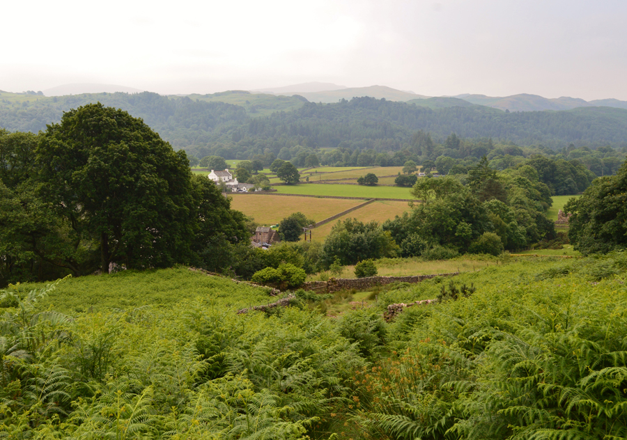
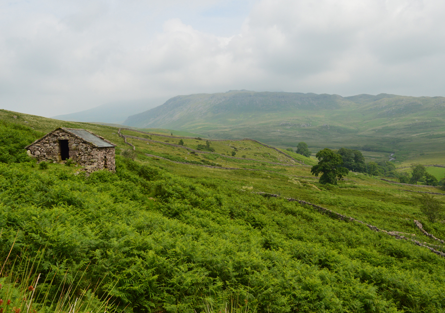
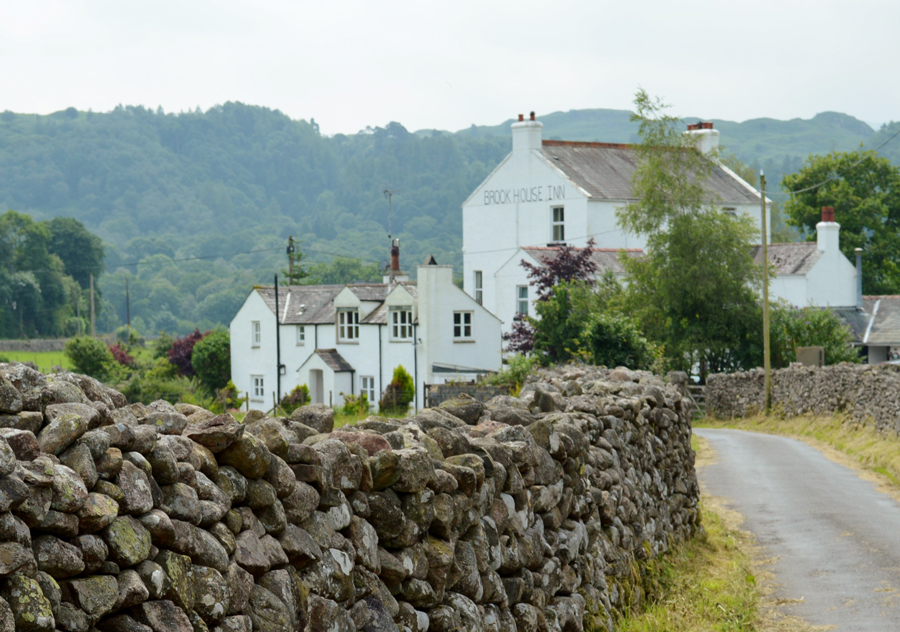
I had once again got myself acquainted with the Outlying Fells of the Birker Fell road and Upper Eskdale passing my recent summits of Hesk Fell, The Pike and the Devoke Water Fells during this mornings journey into Eskdale, it felt great to be within familiar ground often spotting through the car window Outlying fells that I still required to summit.

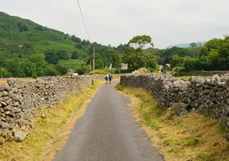
It's a mid week late morning drive through to Eskdale along the Birker Fell Road and I was often forced to go around, or even stop completely as the sheep and their lambs dozed lazily on the tarmac, it felt like a far cry from the town I had left earlier that morning and as the minutes eased into hours the remoteness through my car window started to sink in and I was in heaven.

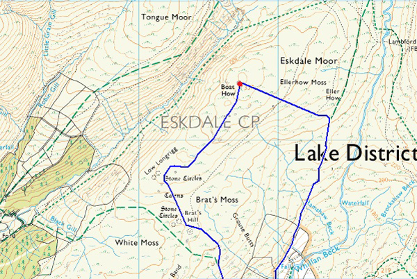
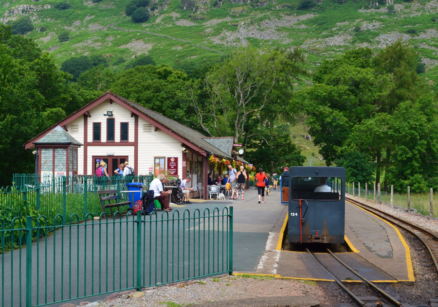
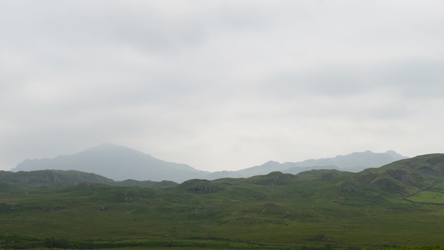
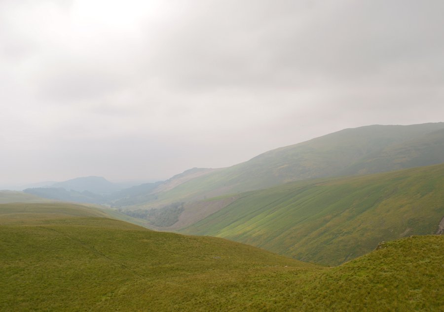
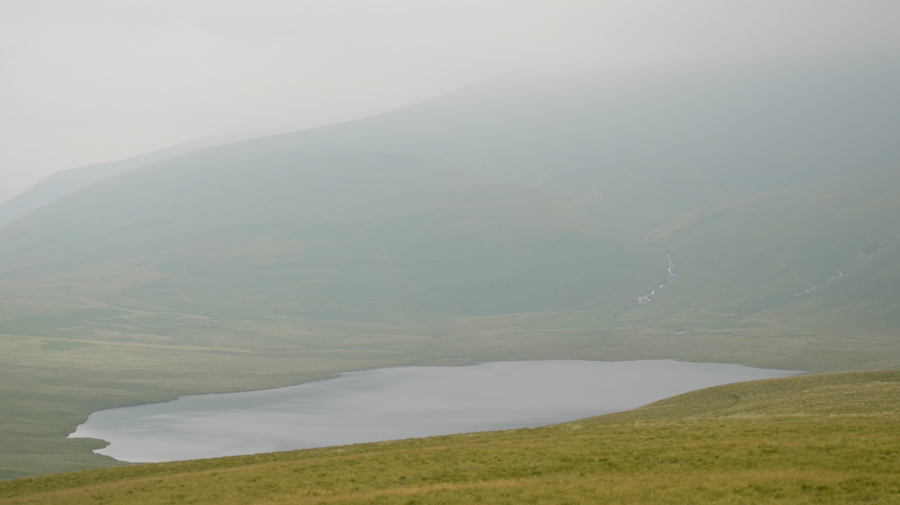
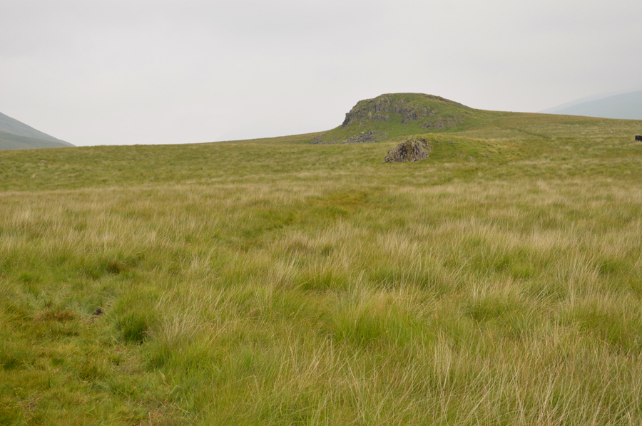
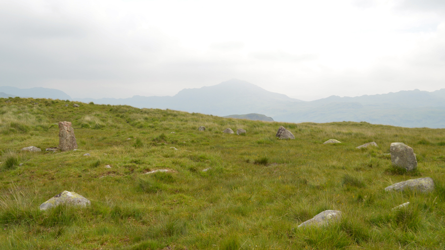
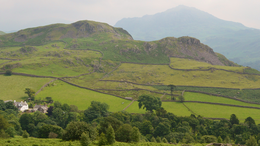
Boat How from Boot delivers a fantastic couple of hours through wide open spaces with panoramic views to match the likes of Crinkle Crags and Bow Fell with hardly no effort required at all. This classic loop collects just the one Outlying summit and starts and ends in the popular hamlet of Boot in Upper Eskdale. It's quite possibly the finest two and half hours you are ever likely to spend on the Lakeland Fells, it was just a pity however, that a heavy haze had descended but thankfully it took nothing away from a great walk.

 
Wainwright Guide Book
The Outlying Fells

-Boat How

In one respect however, is this ridge unique. Its proliferation of ancient remains makes it a happy hunting ground for walkers with an eye for relics of days long past.


Overview
Ascent: 1,105 Feet - 337 Metres
Outlying Fells: Boat How
Weather: Dry, Muggy And Very Hazy. Highs of 23°C Lows of 18°C
Parking: Roadside Parking, Boot, Eskdale
Area: Southern
Miles: 4
Walking With: On My Own
Ordnance Survey: OL6
Time Taken: 2 Hours 25 Minutes
Route: Boot - Eskdale Moor - Boat How - Stone Circles - Brat's Moss - Brat's Hill - Boot
 

Map and Photo Gallery


La'al Ratty, Dalegarth Station, Eskdale, 11:10am 18°C
The walk officially starts in the historic hamlet of Boot just up the road from Dalegarth Station but parking is strictly restricted to residents only leaving just two options to park, one of which was the Pay and Display Car Park at Dalegarth Station or the other option was a few hundred yards back at Dalegarth Hall where parking is free, I'll let you guess where I parked.

Heading through Boot towards the Eskdale Mill.

Once Dalegarth Station is passed turn left at The Brook House Inn and follow the narrow lane towards the end passing picturesque cottages and Boot Inn where the lane starts to draw to an end close to Eskdale Mill. Here is Whillan Beck before heading through a large wooden gate, two paths are presented before you, the path up ahead is the very same path you would use on the return via Brat's Hill.

Here, head right after passing the sign posted 'Wasdale Head'


Looking back over a sea of green Bracken towards the hamlet of Boot.
The large white building seen here is the Brook House Inn with Eskdale Mill in the foreground.

Harter Fell (Eskdale) and Green Crag.
Sadly there wasn't much in the way of views due to the thick haze but that didn't stop the incredible humidity which was stiflingly hot to walk under.

That's Hard Knott up ahead.
The Bridleway continues alongside a stone wall where I pass through four wooden gates all the while views of Hard Knott start to appear up ahead.

Old Peat Hut found just to the left of the path.

The old Peat Hut soon appeared on the horizon which gave an indication for an abrupt left turn before steering a pathless route through hummocky grass. The small summit of Boat How only appears once upon the crest of the ridge from where a short trek towards the summit is required.

Sadly today I missed out on those big views but I was more than happy to be out in such wonderful countryside with just the birds and the wind for company.


Looking back through the Mitredale Valley from the summit of Boat How.
I might not of had the views but it was still worth the sit down on a small rocky outcrop I found with views overlooking...

...Burnmoor Tarn.
Wowzers that's hazy!

Looking back on Boat How as I head over Brat's Moss.
 

Brat's Moss Stone Circles
After half a mile southwest (keeping parallel with the Mitredale valley) the ancient Stone Circles at Brat's Moss soon appear although with todays haze I did have trouble spotting them from a distance first wondering if the stones where actually sheep before I got closer.

Harter Fell (Eskdale) from the second Stone Circle.
Although Neolithic flint has been found at near by Roman Fort of Ravenglass it was the Bronze Age settlers who provided occupational evidence on the higher Eskdale Fells, the close by Burnmoor Tarn derives from ‘Barron Moor’ meaning ‘the moor of stone heaps’

Great Barrow and Little Barrow with Harter Fell (Eskdale) in the distance.
It's time to head back to Boot now with a rather steep descent via Brat's Hill first.

Hard Knott seen from the ruined stone hut found close to the footpath.
There are actually three stone huts found on either side of the footpath, this one just needs windows and a door!

Eskdale Mill, Boot.
Eskdale Mill still boasts its historic working machinery, and is one of the oldest water powered corn mills in England, and is now the last remaining working mill in the lake District.

Brook House Inn, Boot.
Well, that was a fantastic couple of hours spent in upper Eskdale it was just a pity that I missed out on the views due to the haze which with fingers crossed appears to lifting slightly, let's hope the humidity drops for todays next walk over Irton Pike or I reckon I'll have lost a couple of stone by the end of the day.
 

Back to top