Raven Crag and a circuit of Thirlmere

28th August 2017

Due to holidays, Illnesses and different commitments it's been nearly two months since David and I last walked which is quite a gap considering that we would always try to arrange a walk every fortnight or so but this isn't to say that we haven't been in regular contact mainly moaning about how crap the latter end of the Summer has been.

A date was set for Bank Holiday Monday but as the cloud filled tops continue to menace the Lakeland summits we thought we would box clever and plan a walk below the forecasted morning fog and low cloud and we came up with this walk during a five minute phone call the evening before.

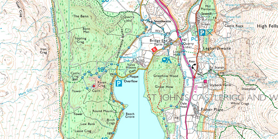
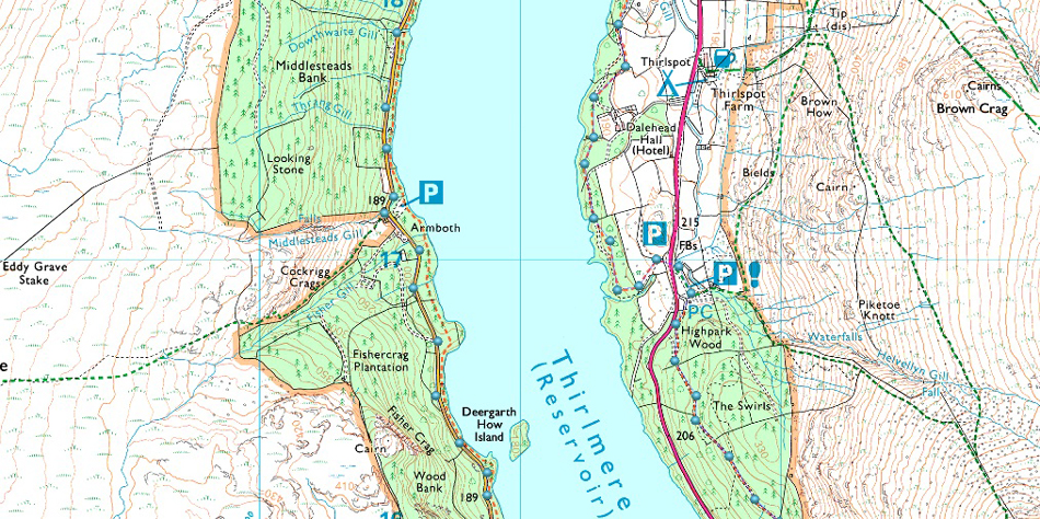
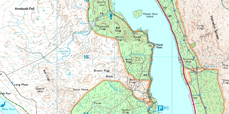
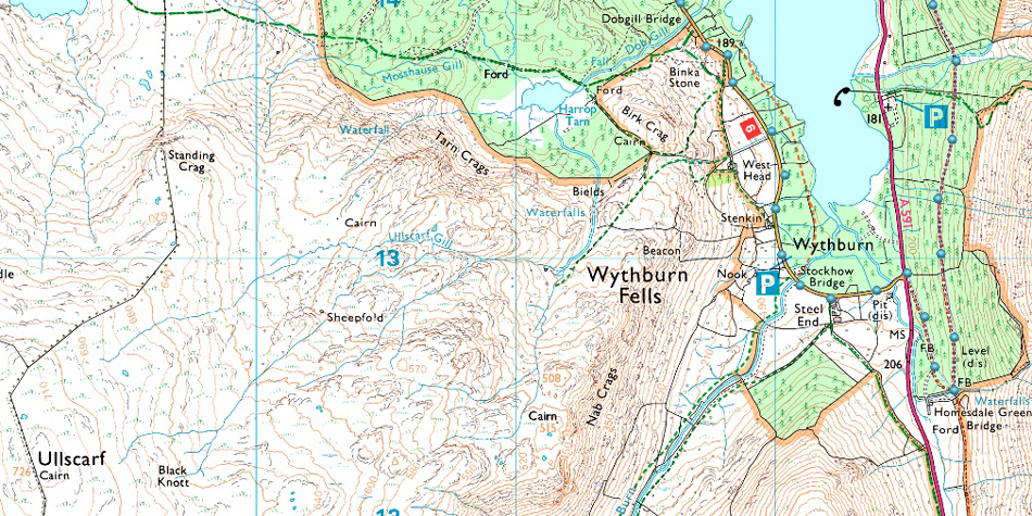
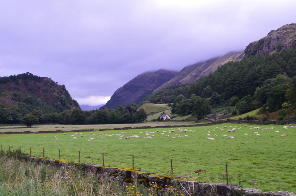
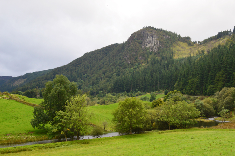
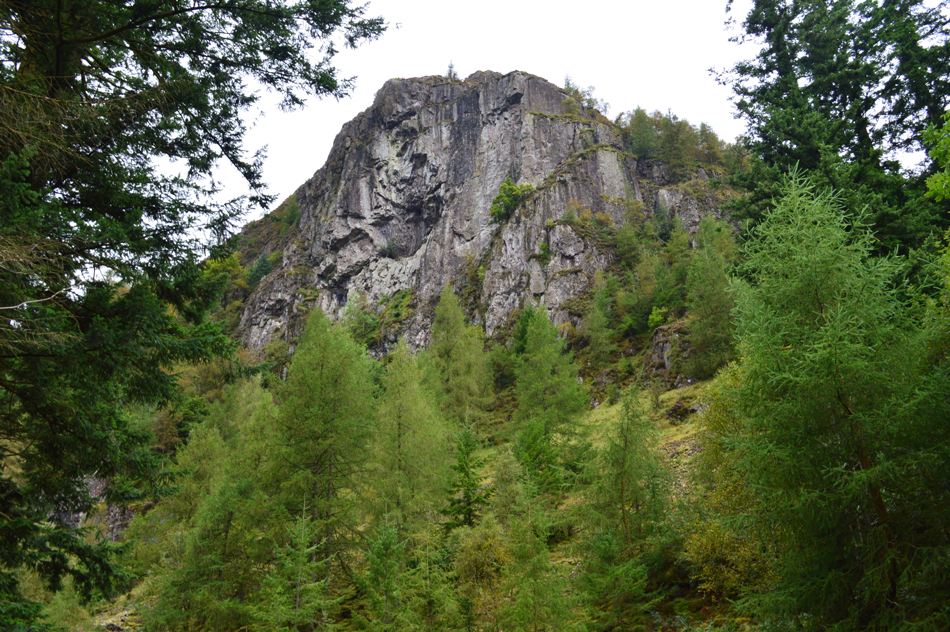
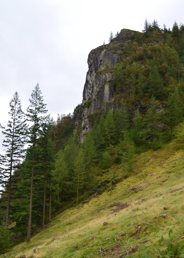
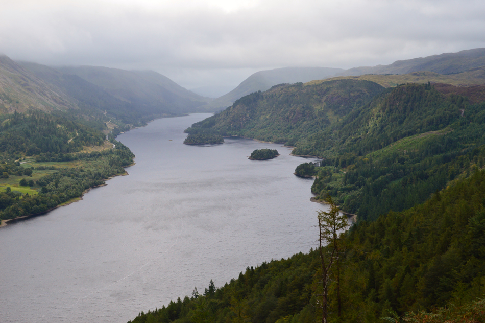
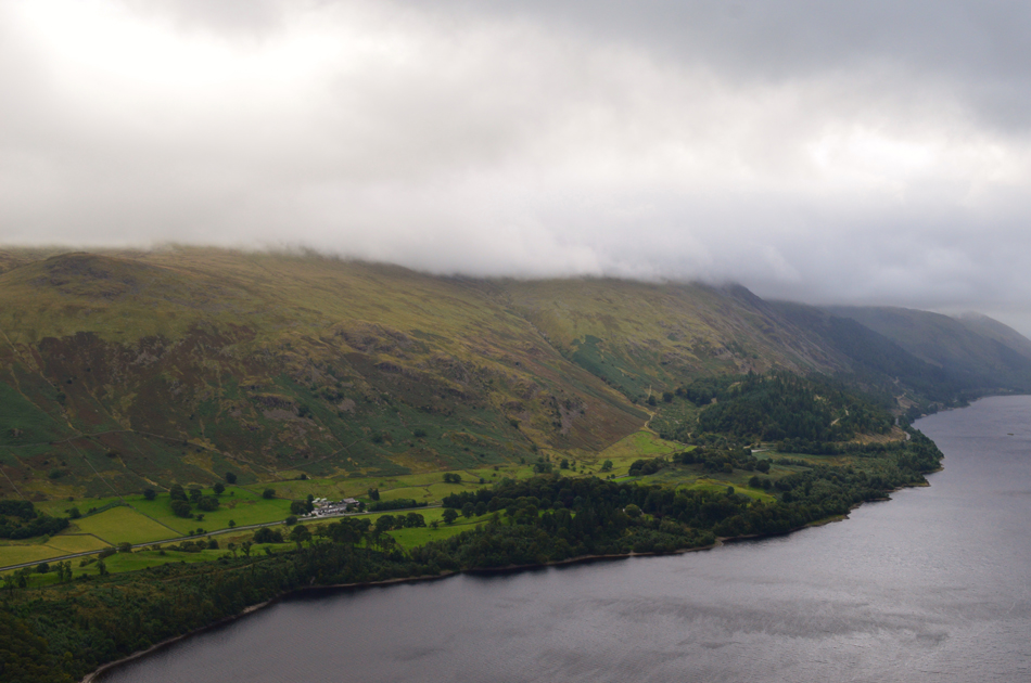
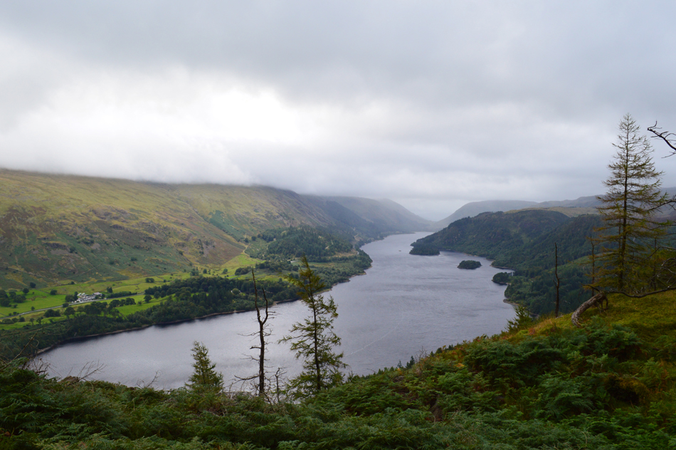
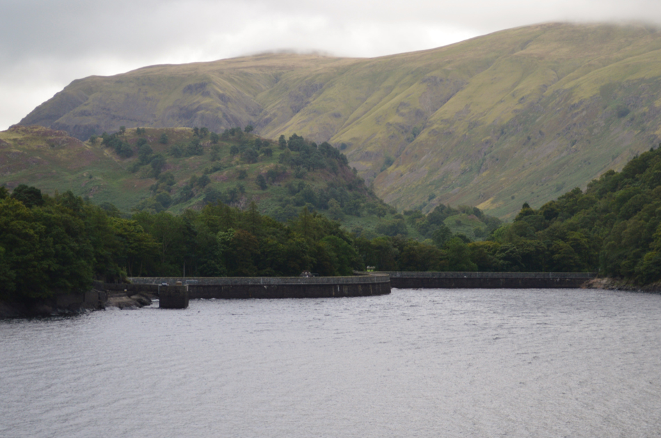
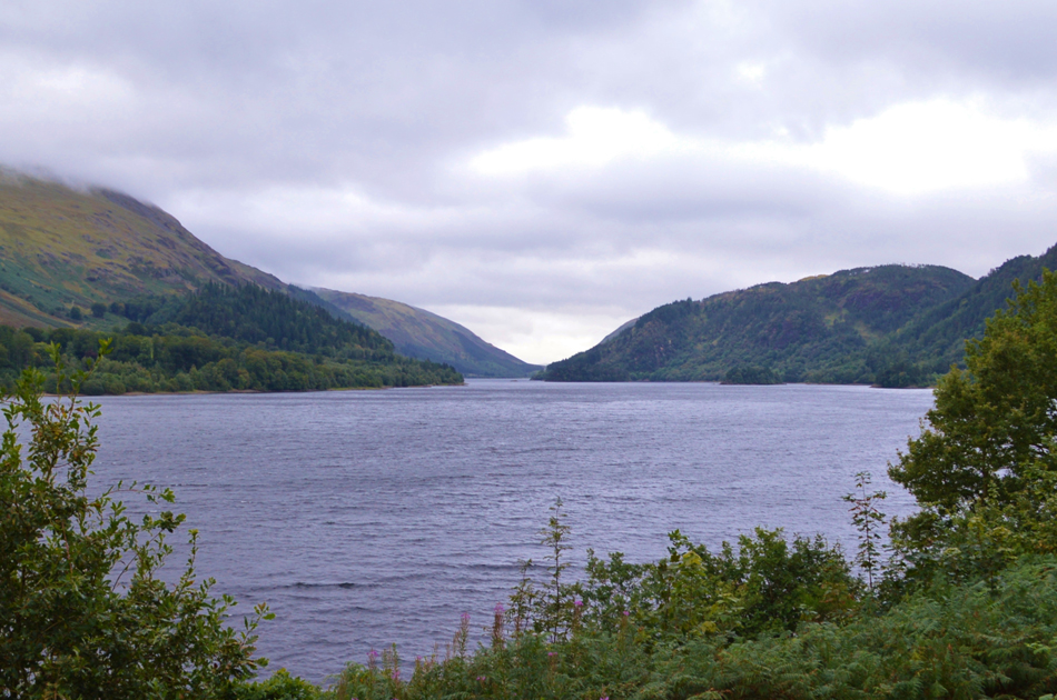
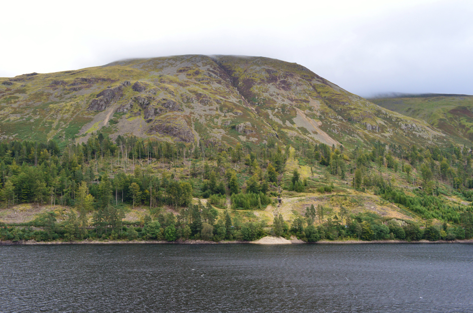
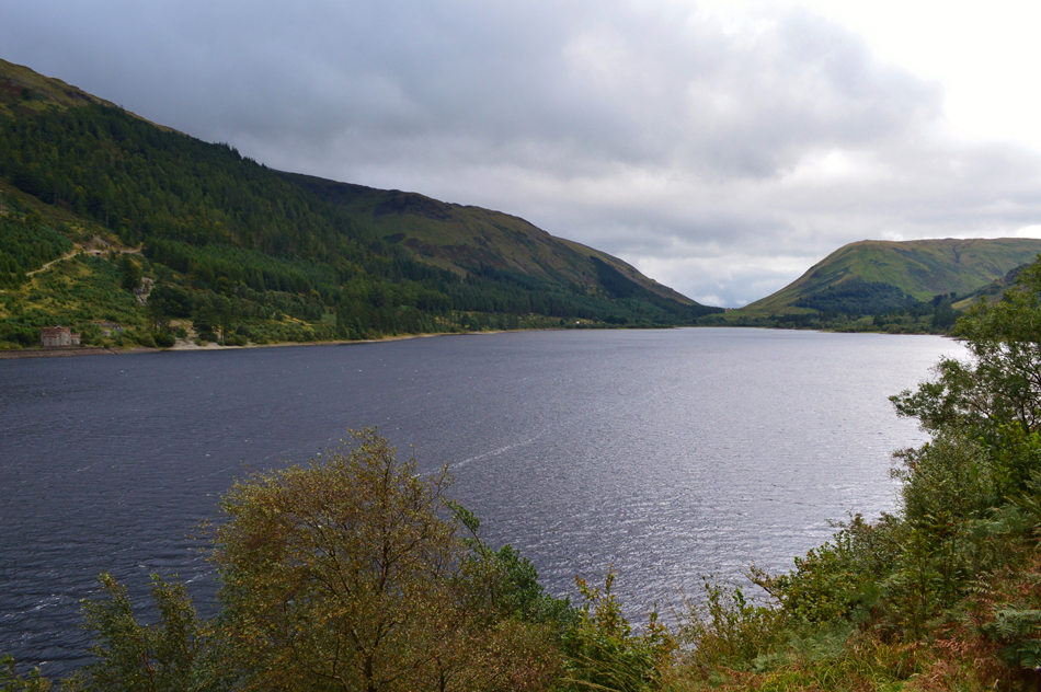
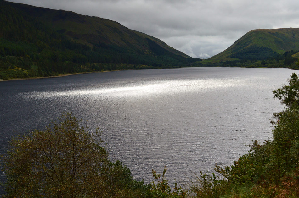
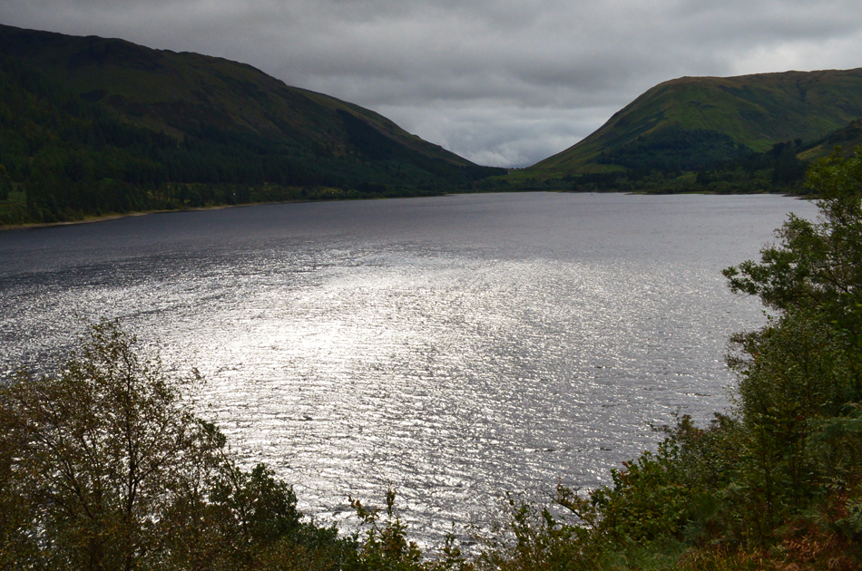
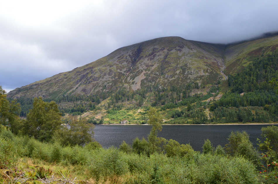
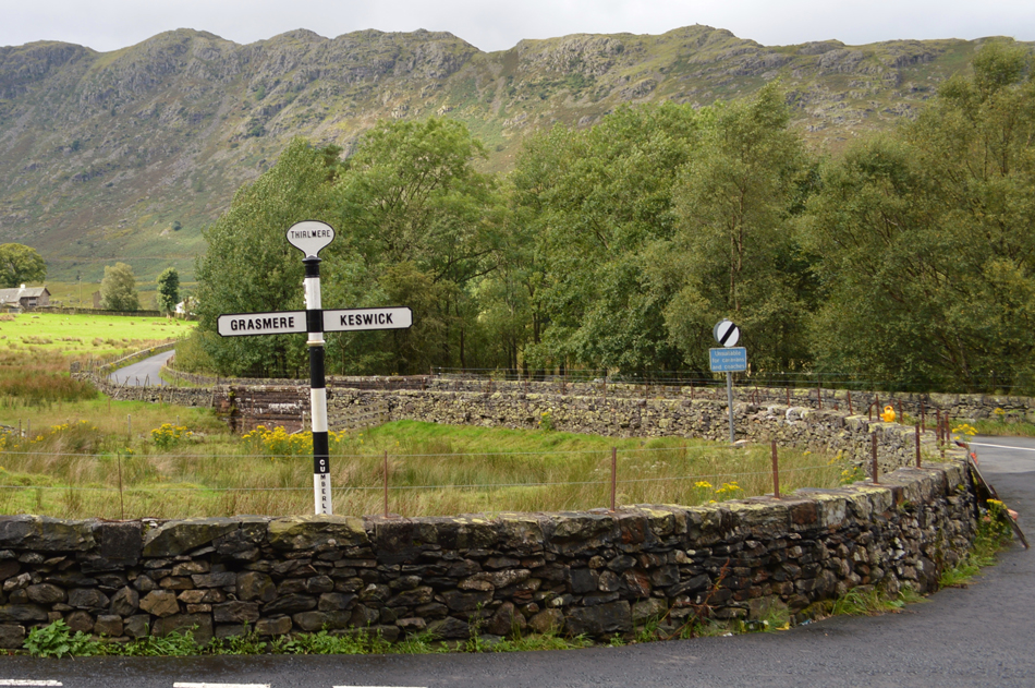
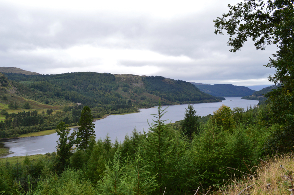
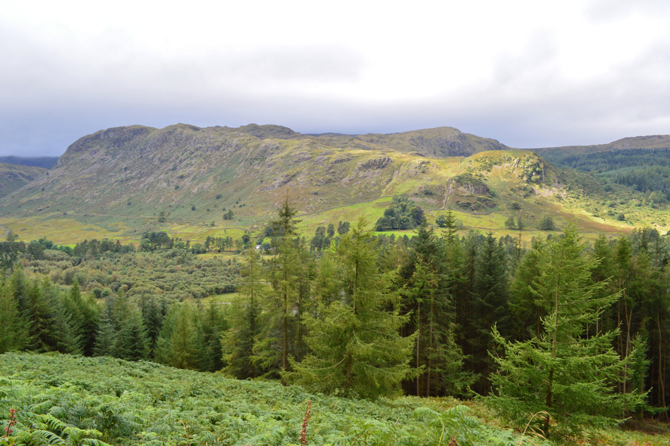
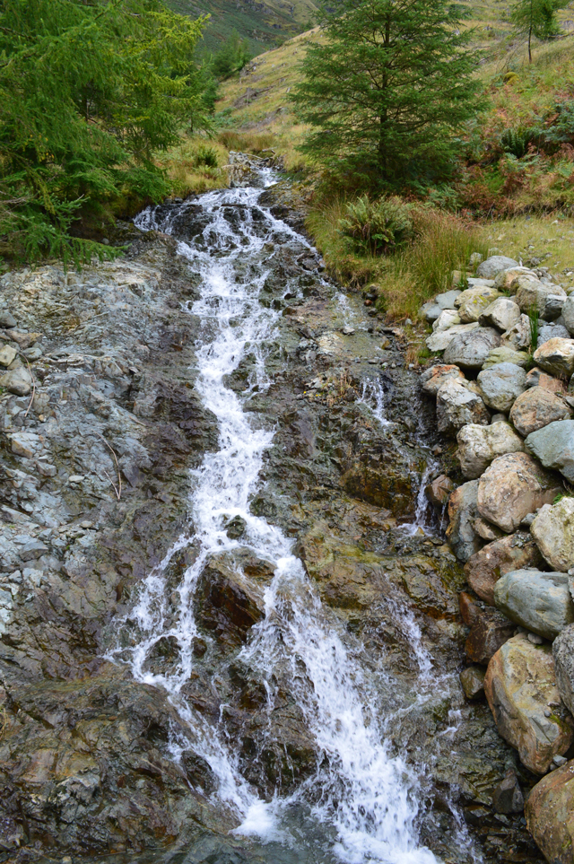
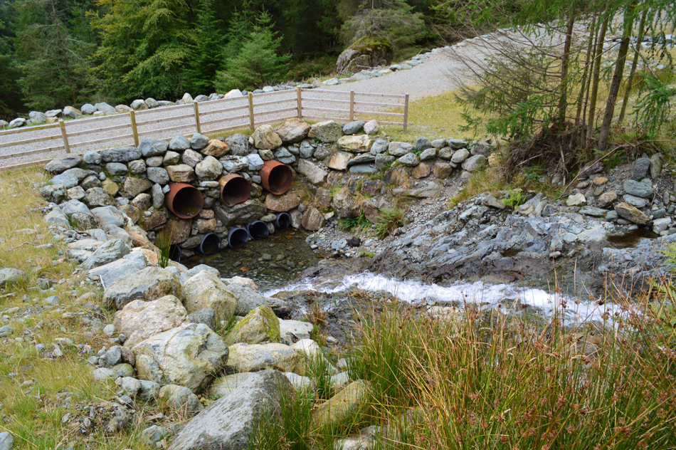
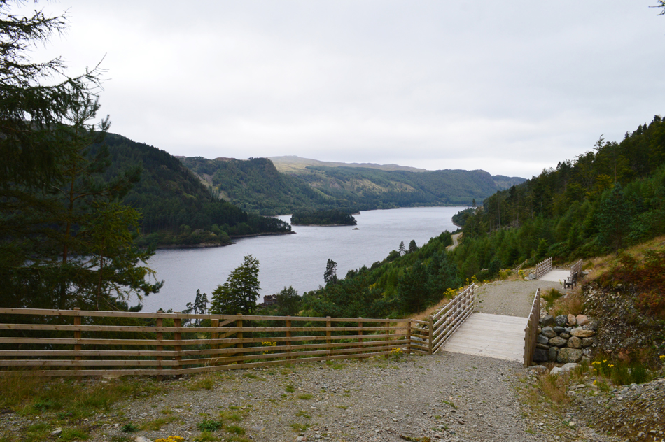
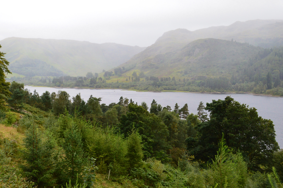
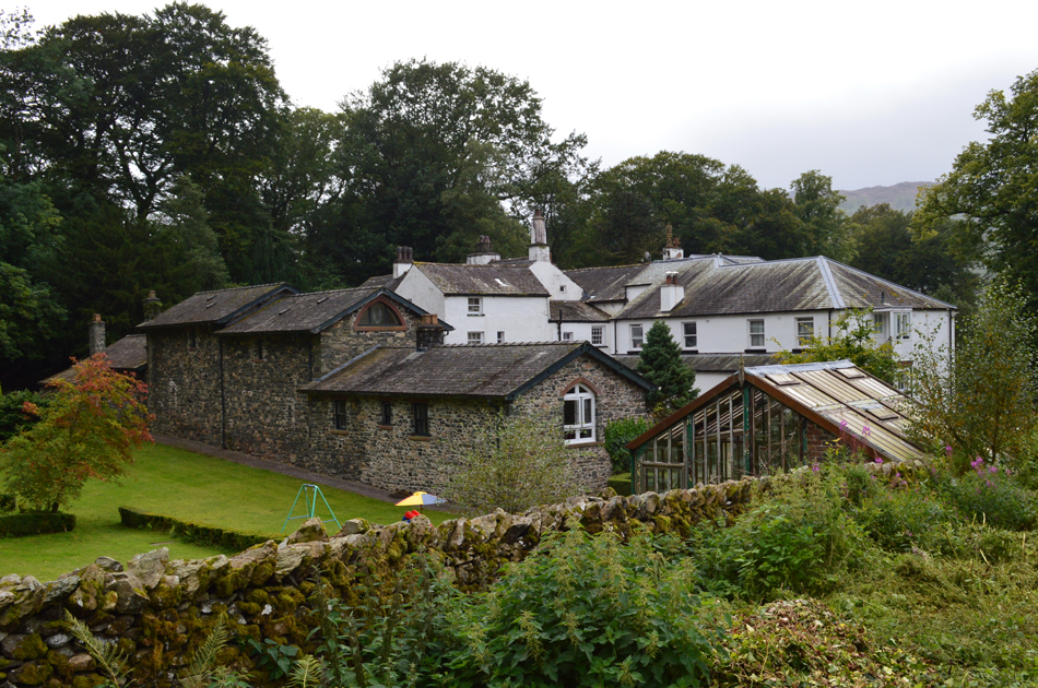
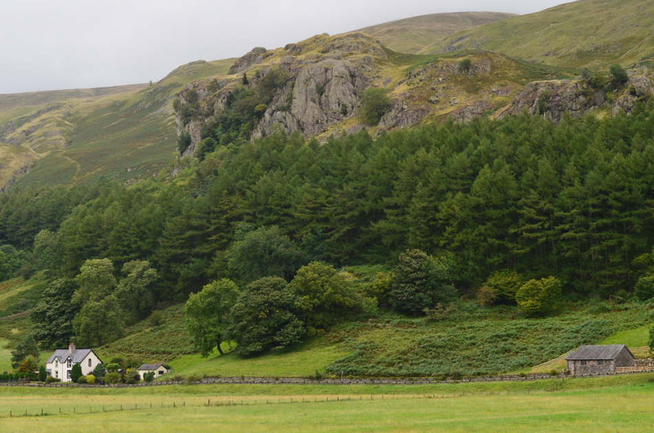
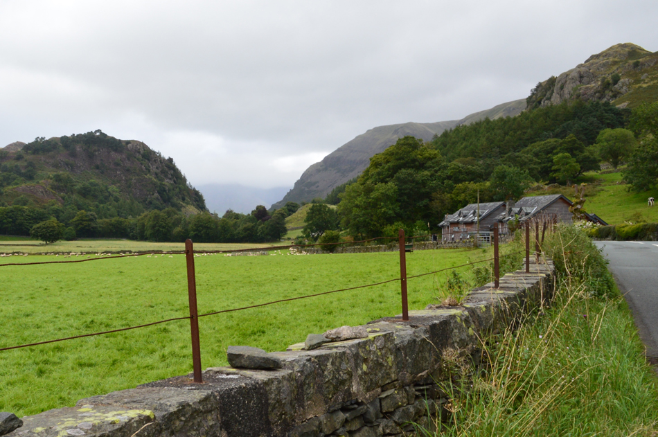
Our route would take in a anti-clockwise direction around Thirlmere Reservoir but not before a visit to Raven Crag from where we could take in spectacular views over Thirlmere and a good proportion of todays route. Walking around Thirlmere may not seem like hard work but our mileage and forced detours suggested otherwise where despite a lack of height my feet ached like I'd just ran down the nose of Kirk Fell! I guess we hadn't planned on being out so late either with countless stops caused by two months of gossip to catch up on.

 
Wainwright Guide Book Three
The Central Fells

-Raven Crag

One of the many dozens of Raven Crags, best known of all, and the subject of this chapter, is the mighty buttress of grey rock towering above the Thirlmere Dam.


Overview
Ascent: 1,494 Feet - 455 Metres
Wainwrights: Raven Crag
Weather: Overcast for the Duration with Light Showers. Some Brief Spells of Sunshine. Highs of 19°C Lows of 17°C
Parking: Car Park, Legburthwaite
Area: Central
Miles: 13.8
Walking With: David Hall
Ordnance Survey: OL5
Time Taken: 5 Hours 50 Minutes
Route: Legburthwaite - Bridge End Farm - Smaithwaite - Raven Crag - Armboth - Dobgill Bridge - Stockhow Bridge - Wythburn - A591 - Foresty Path to Swirls - Dalehead Hall - How Beck - Legburthwaite
 

Map and Photo Gallery


St Johns-in-the-Vale from Legburthwaite 08:20am 17°C

We had agreed to park in Legburthwaite at the bottom of Sticks Pass during last nights phone call, I found David already there by the time I arrived having driven through Ambleside to Rydal whilst checking how low the cloud was on Loughrigg Fell, then Nab Scar which was just hovering over their summits and was exactly what had been forecasted. Further north once through Grasmere Helm Crag's summit was cloud free and it was starting to lift from the summit of Steel Fell too but this wasn't the case for the Fairfield and Helvellyn ranges whose ridges were well below the cloud line, it was only once I was stationary I could also see just how quickly the wind was pushing the cloud across the summits and we both noted how unpleasant it looked at the time. With so much to catch up on conversation was kept minimum during kit up where we were joined by a fellow walker who had just pulled up who as it turned out had travelled from Shap, after 'mornings' are shared he gave us a brief forecast of what the weather was like as he left the house this morning as "it was pissing it down!"

Just as we are ready to leave the chap points towards Raise and asked? "is that Sticks Pass" we politely confirm before crossing the A591 and headed towards Thirlmere Dam.


Raven Crag with Thirlmere's outflow as it flows into St Johns Beck from Smaithwaite.

After crossing the A591 we turned right towards the Dam having ignored the Road Closed ahead sign then passed the campsite which was busy with folk cooking breakfast as the smell of bacon wafted over. Up ahead and just prior to the Dam wall more Road Closed signs together with large metal barrier which completely blocked access over the Dam not just to traffic but pedestrians too.

OK, we knew we had already walked past the Road Closed sign ahead but there was no mention that it was closed to pedestrians too which now meant we had to back track back to Bridge End Farm and follow a Bridleway through Smaithwaite before rejoining the western side of Thirlmere. We thought about sneaking through but that would have meant jumping over the barrier and seeing that non of us were getting any younger and that the detour wasn't so much out of the way so we started to trek back towards Bridge End.

Happen if we'd have been chased by man eating Lions I'm sure we would have found our way over though!


Raven Crag from the Forestry Track below.
With the detour behind us we picked up the narrow tangled path below Raven Crag through the woods before arriving at the Forestry Track, here we had the option to continue through the familiar Deer Gate then head left along the track before picking up the same narrow path a little height later.

Raven Crag.
Here comes the first of many light showers.

Thirlmere from Raven Crag summit.

Having left the Forestry Track behind we ascended steadily through the felled woodland which at one time grew over the path in the form of a tunnel but sadly it's just a memory now. After ascending through the felled trees the ground levelled out close to the upper Forestry Track from before the steep yet short climb towards Raven Crag summit.

It was here just last year that this path got a brand new makeover after a storm had felled a large number of mature trees over the existing path which If I remember correctly resembled a bomb site. After the trees had been cleared work set about creating a better stepped path constructed of a wooden step based structure which was then filled in with gravel and earth and each wooden step was capped with the same felt and one inch nails you would cover your shed roof with. With the felt now peeling away it's now creating more of a hazard than it was intentioned for and by our reckoning and the amount of traffic this path receives it wont be long before repairs are needed or worse, someone trips and injures themselves.


The view over Thirlmere towards Thirlspot and Browncove Crags from Raven Crag summit.
That cloud isn't going anywhere for now.

A long distant view towards Dunmail Raise.
It's already taken us nearly two hours to gain Raven Crag all because we're buggers for stopping and chatting, I think we'd better shake our tails if we're to get around the whole lake before it goes dark at this pace.

Looking back on Thirlmere Dam.
From the new observation platform back on Raven Crag's summit we re-traced our steps all the way back to the road all the while the showers continued to fall while observing the low cloud over the Helvellyn ridge, we couldn't but help feel a little cruel on the many walkers who had planned a trip this Bank Holiday only to be met with low cloud all over the District but I guess that's Lakeland fells for you.

The view over Thirlmere towards Dunmail Raise.
 

Passing through Armboth.
With original gatepost that seem to lead to nowhere.

The bulk of Helvellyn seen with Dry Gill from Hause Point.
The A591 from Dunmail Raise through to Swirls was badly affected by the storms of December 2015 and evidence of landslip can still be seen all along Helvellyn's lower slopes such as the spoil heap seen on the opposite bank of Thirlmere.

Steel Fell and Dunmail Raise from Hause Point.
 

The path back to Swirls seen above the Straining Well.
One of the main reasons that I pointed out to David during last nights phone call was how much I was looking forward to using the Forestry Track between Wythburn and Swirls, even before the storms of December 2015 the track was out of use due to the Forestry Commission who had been felling trees subsequently the Track was closed off to the public (although I did at times sneak my way through when no one was looking) then the storms hit which closed the track off completely but after renovations along a vast stretch of the Track it was reopened last year and today will be the first time I will use it without having to sneak through!

Sunlight streaks across the lake surface.


Helvellyn, Whelp Side and Whelpside Gill.
Taken shortly after passing the carpark at Dobgill.

Nab Crags from the A591 at Wythburn.

We settled for lunch whilst sat on the stone bridge over Birkside Gill whilst the road starts to get busier and busier leaving cars passing with only inches to spare. The A591 is only metres away but the sound of Birkside Gill flowing below our boots drowns out the traffic leaving our lunch feeling relatively peaceful. With lunch over we pack any extra layers away including my camera case before crossing the A591 and joining the Forestry path on the east side of Thirlmere which starts to rise rapidly over Wythburn.


Thirlmere from above Wythburn.
 

Nab Crags and Birk Crag enjoying a little sunlight.
 

Part of the new Forestry Track at Whelpside Gill.
Whelpside Gill flows into Thirlmere via a network of newly constructed culverts like this one over the new Forestry Track.

Whelpside Gill.
 

Whelpside Gill culverts.

It's incredible to think that after significant rainfall the water level will reach the tubes constructed below the Forestry Track before flowing out of the other side which has now been heavily banked by large boulders. New bridges, banks and culverts are found all along the Track which had previously been washed away during the floods of December 2015 which contributed to the powerful landslip which washed away part of the A591 below closing the main artery through the Lake District for five months at a cost of £3m.

Although the force of mother natures fury can never be stopped at least it can now be tamed.


Thirlmere seen with Hawes How Island.
 

The view back into the Wythburn valley.
it looks like rain is on its way but in actual fact the rainfall was concentrated entirely down the centre of Thirlmere missing us completely.

Dalehead Hall (Hotel)

Having passed through a busy Swirls car park we had the option to head back to Legburthwaite via Fisher Gill or take the Dalehead Hall route back and as you can see the Dalehead Hall route won. Once the hustle of Swirls was left behind we more or less had the place to ourselves with the shores of Thirlmere appearing though gaps in the trees.

It may not look but the temperature is in the low twenties now and it's incredibly humid.


Castle Rock from Legburthwaite.
 

St Johns-in-the-Vale from Legburthwaite.

After crossing the A591 for the last time we tracked back to Legburthwaite where our cars basked in the heat of the afternoon, the first job is always to get those doors open. We kit down feeling like we've walked much higher and indeed further than we actually had as boots are swapped for the comfort of clean socks and a fresh pair of mid's to drive home in. We spot walkers scaling the steep path up Sticks Pass and wondered their route so late into the afternoon as they climbed into the cloud. For us, a hearty handshake as always and an agreement that we'd try not to leave it two months before our next walk.


Back to top