|
Walking the Birketts, Fellbarrow Round from Loweswater |
 |
 |
17th March 2018 |
 |
|
Three words 'Winter is back' After last weekends Spring like conditions not just in the valleys but on the fells this weekend Winter returned bringing with it severe windchill and plummeting temperatures but please be reminded we are only on the cusp of Spring.
A long awaited walk from Ambleside to Red Screes via Woundale had been on the cards for weeks 'we're just waiting for the weather to turn' to make our epic trip but Winter was having non of it, secondly, Rod who would have been joining us today needed to make it back home to the east coast ahead of the snow arriving, this mean't a plan B walk which was put firmly in Rod's hands.
Rod got back to us with this walk, 'Birketts Fellbarrow Round' which ticked everyone's boxes. It was July 2016 when I last encountered these fells on a day when David and I walked the Loweswater and Fellbarrow fells in one go, that day it rained from start to finish and I vividly remembered driving home commando! well, it stayed dry for us today and we were even blessed with bursts of sunshine but we were again reminded that Winter hadn't let go of the Lakeland fells just yet on one of the coldest days ever I've spent on the hill. |
|
| The Complete Lakeland Fells |
 |
| By Bill Birkett |
-Hatteringill Head
Climb over and skirt the scree of Skiddaw slate to ascend the last northern outpost of Western Fells. |
|
|
|
| |
|
Overview |
|
|
| Ascent: |
1,670 Feet - 509 Metres |
| Birketts: |
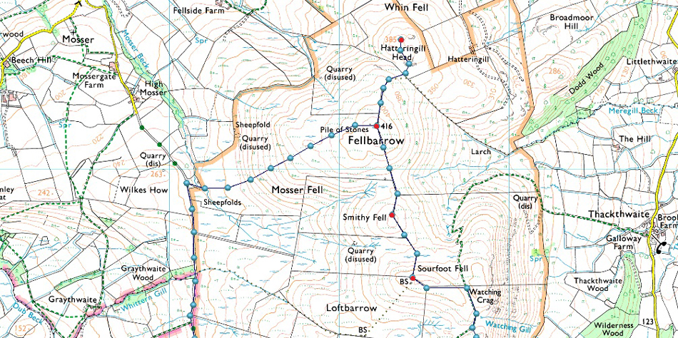
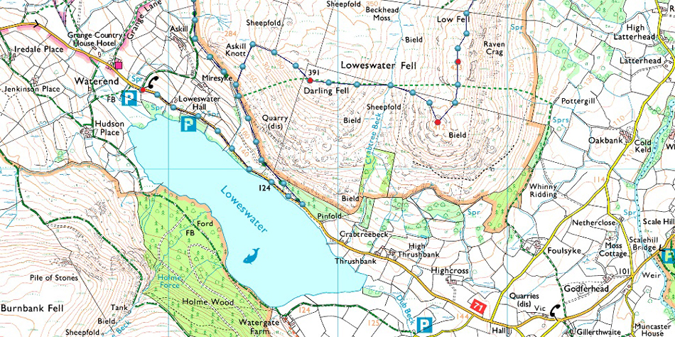
7, Darling Fell - Loweswater Fell - Low Fell - Sourfoot Fell - Smithy Fell - Fellbarrow - Hatteringill Head |
| Weather: |
An Overcast Start Turning Brighter, Feeling Very Wintery With Severe Windchill Across The Summits. Highs of 1°C Lows of 0°C |
| Parking: |
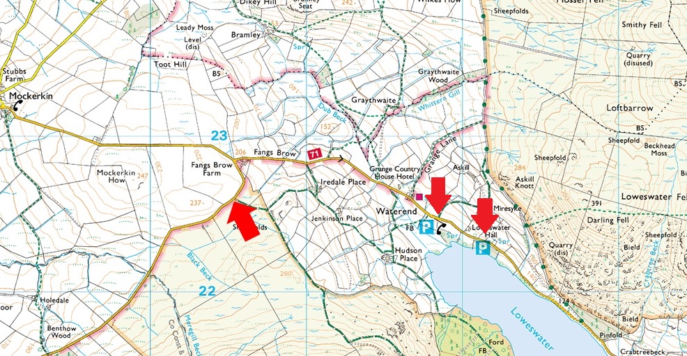
Roadside Parking, Fangs Brow, Loweswater |
| Area - Group |
Western - W/FEL |
| Miles: |
5.7 |
| Walking With: |
David Hall & Rod Hepplewhite |
| Ordnance Survey: |
OL4 |
| Time Taken: |
4 Hours 5 Minutes |
| Route: |
Mosser Fell Road - Darling Fell - Crabtree Beck - Loweswater Fell - Low Fell - Sourfoot Fell - Smithy Fell - Fellbarrow - Hatteringill Head - Fellbarrow - Mosser Fell Road |
|
| |
|
Parking Details and Map |
|
|
| Nearest Post Code: |
CA13 OSU |
| Grid Reference: |
NY 105 322 |
| Notes: |
Another popular parking spot on the north western tip of Loweswater are the parking places at Fangs Brow where you will find parking for around twenty cars leaving excellent access to the Loweswater Fells with Burnbank Fell close by. Parking is free. |
|
| |
|
Map and Photo Gallery |
|
|
 |
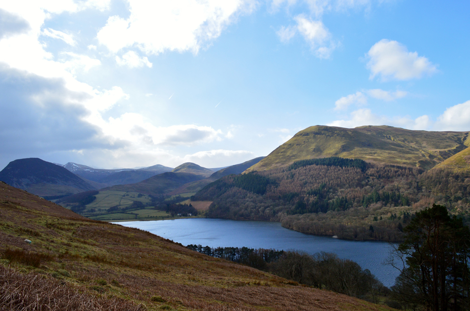
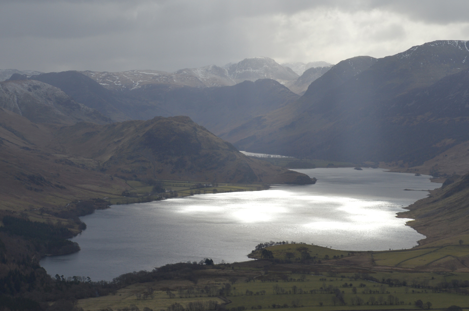
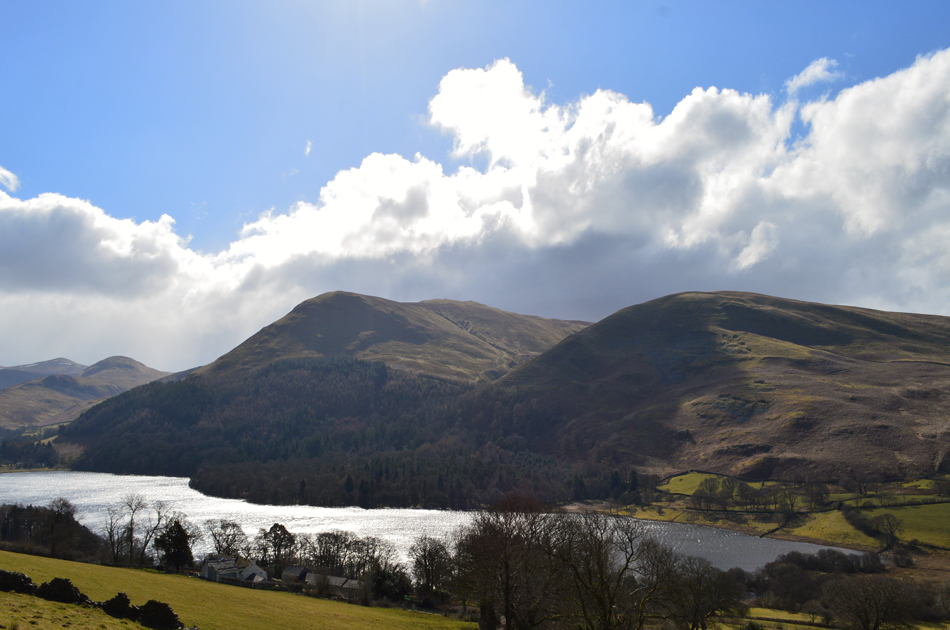
| Low Fell and Birketts Loweswater Fell from Loweswater 08:40am 1°C |
With the drop in miles we could afford to meet at the slightly later time of 09:00am at the parking spaces at Fangs Brow. I had driven north encountering high light cloud for much of the way which cleared the further west I got before arriving in Loweswater under bright blue skies. The forecasters had predicted gusts of up to 70mph across the summits which was one of the reasons we decided to walk low and here at valley level, the wind wasn't really striring things too much which I felt a little cautious over. |
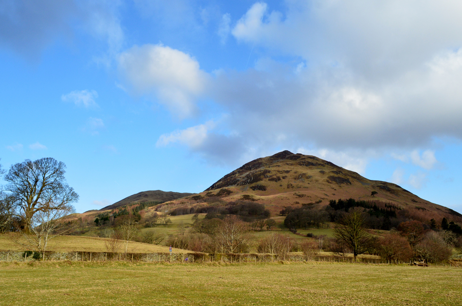 |
| Seen again, this time with Darling Fell in the distance. |
| Darling Fell will feature as todays first summit closey followed by Birketts Loweswater Fell and Low Fell. |
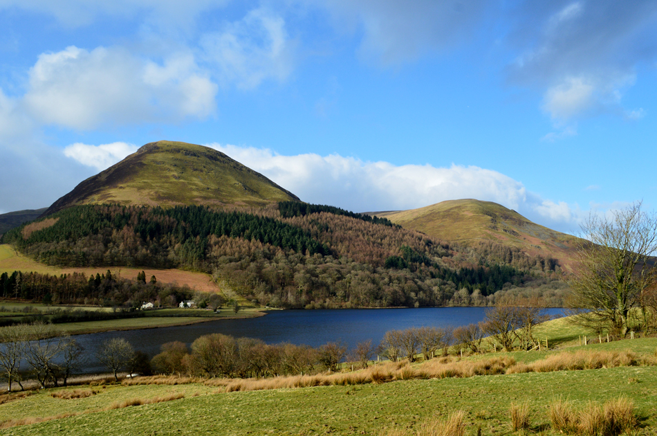 |
| Carling Knott and Burnbank Fell seen over Loweswater. |
| |
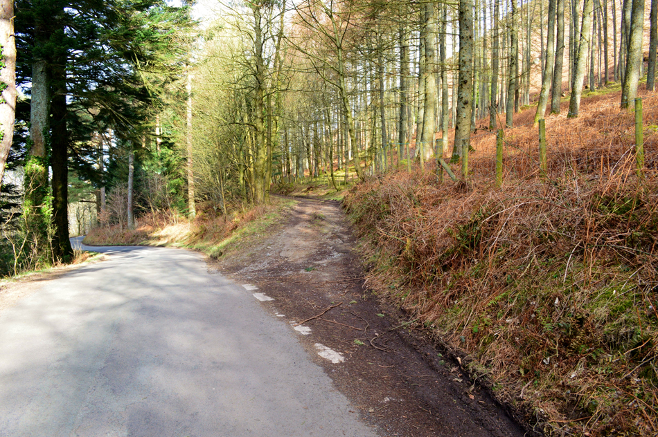 |
| At the bottom of Mosser Fell Road (locally pronounced as 'Mozzer') |
Arriving early I stopped my car at a passing place and got out to look over the fields towards Mellbreak and was soon treated to rawness of the wind which howled through the Mosedale valley in between Mellbreak and Hen Comb, blimey where did that come from, the gust appeared confined to the valley as the trees around me didn't seem to be moving that much, I returned to the car thinking one thing 'must layer up!'
Rod was already there when I arrived and we greeted as normal with a handshake before booting up behind our cars with David arriving soon after, it's still bright and relatively peaceful but I layer accordingly adding my neck gaiter and even waterproof trousers to keep the wind out soon realising that I'm the only one to do this.
With the cars locked we track back along the narrow lane the half mile back to the bottom of Mosser Fell Road, todays offical starting point. |
 |
| Signpost 'Foulsyke' Mosser Fell Road. |
It's still very Spring like and with my added layers I'm starting to warm up quite a bit and with this I de-shoulder my pack as quickly as possible and remove my waterproof over-trousers. It's mild but with more height gained a definite howl through the tree tops is never far away.
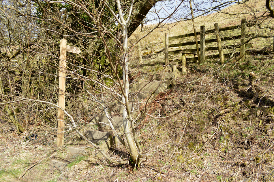
For one reason or another (not paying attention) we walked right past the wooden stile which access the steep lower slopes of Darling Fell, a quick double back soon saw us back at the stile although I must admit it is pretty camouflaged or is that me just making excuses again! |
 |
| Views towards Mellbreak, Red Pike (Buttermere) Starling Fell, Hen Comb and Carling Knott from the ascent of Darling Fell. |
| With the Mosser Fell Road now behind us we started the steep ascent of Darling Fell alongside the wire fence which abruptly turned right just below the shoulder of the summit, despite Darling Fell only being just below 1,300ft in height the fell is steeply sided on all flanks. |
 |
| Views over Loweswater towards Carling Knott, Holme Wood and Burnbank Fell from Darling Fell. |
Below the shoulder of the summit awaited a second short but steep climb onto Darling Fell grassy plateau, silently we climbed the fell side whilst experiencing some pretty strong buffeting from the wind where once at the summit it became a slight struggle to walk in a straight line and the only way to communicate was to shout over the top of the wind, I guess the stall had been set for the rest of todays walk, a struggle against the elements it was.
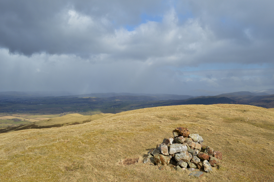
Footnote: the Birkett summit of Darling Fell isn't at 391 metres as seen on 1:25 map but at a second subsidiary summit found 130 metres SE which is marked by a large stone cairn. |
 |
| Lots of drama and light over Crummock Water as seen from Darling Fell summit. |
| |
 |
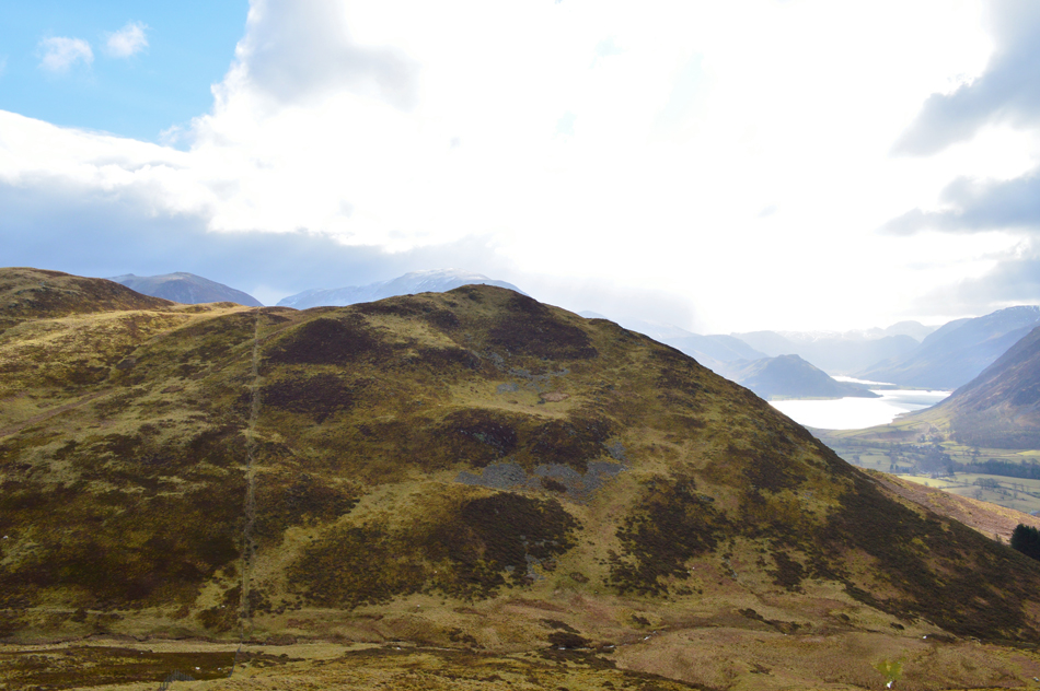
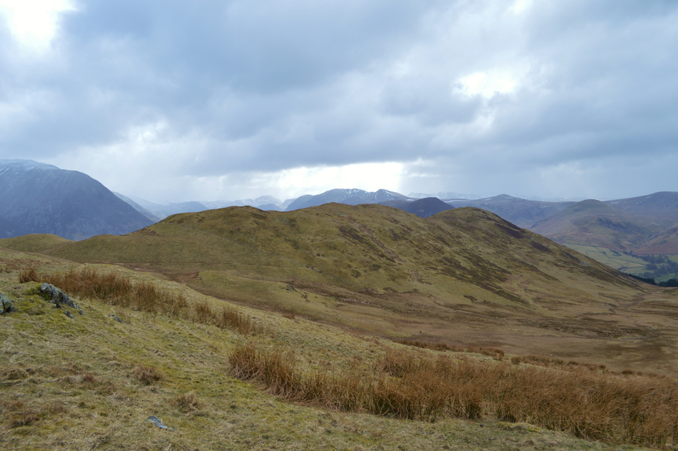
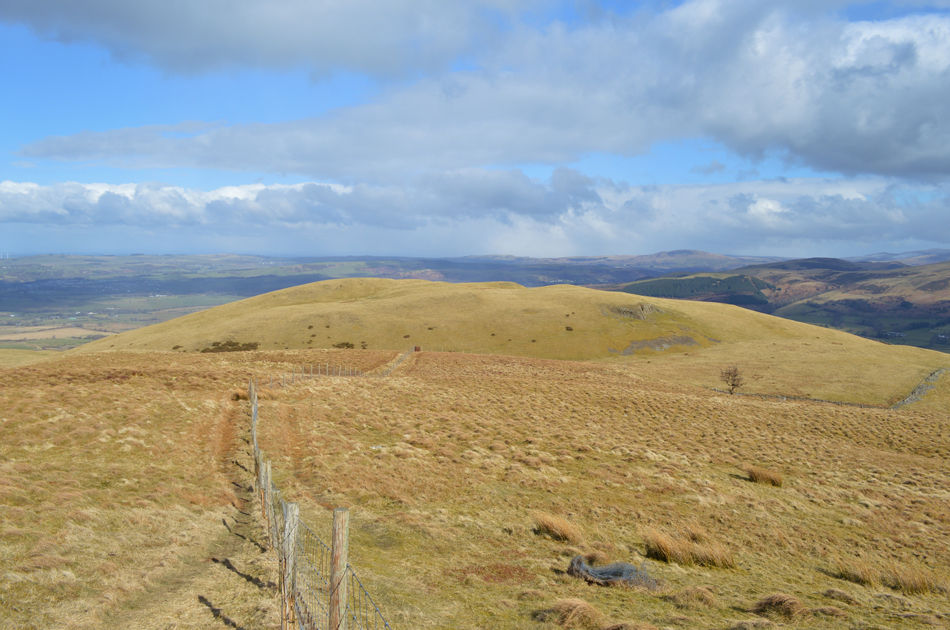
| Sourfoot Fell, Smithy Fell and Fellbarrow from Darling Fell summit. |
| With a wind howling in from the east it certainly was entertaining adjusting to the windchill the few moments we spent on Darling Fell summit! So severe the windchill it was enough to take your breath away. |
 |
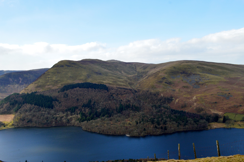
| That's Low Fell (L) and Birketts Loweswater Fell (R) seen over Beckhead Moss/Crabtree Beck from the descent of Darling Fell. |
| We'll be glad of the drop in height if only to escape the windchill but we'll soon be back amongst it once Loweswater Fell is ascended but first we have to descend the equally steep Darling Fell first. |
 |
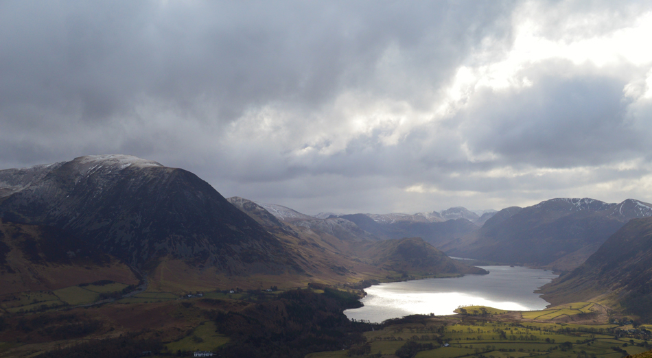
| The Grasmoor Group, Crummock Water, Buttermere, Mellbreak and the High Stile ridge from Loweswater Fell. |
| The null between Darling Fell and Loweswater Fell was calming and prepared us for the steep ascent onto Loweswater Fell seen here on the southern tip of Low Fell. The wind was pretty fierce and so too was the windchill and again we struggled to keep shape, with our backs into the wind a nod, or a hand gesture indicated lets move onto our next summit of Low Fell. |
 |
| A snow shower descends on the Whiteside, Hopegill Head and Grisedale Pike. |
| And passes the valley as we cross between Loweswater Fell and Low Fell, thankfully the lay of the land protected us from the worst of it, the difference only being a few metres but it was enough not to feel the full affect. |
 |
| Sourfoot Fell from Low Fell. |
And within moments the snow shower had passed leaving large gaps of blue sky overhead, this type of pattern of snow and sunshine fills the morning but at least we are experiencing a little brightness between the snow, there's nowt we can do about the wind though.
I think I can speak for the three of us when I say from here on in noses, and jaws started to freeze and shouting over the top of the wind was the only way to communicate. |
 |
| Grasmoor, Rannerdale Knotts and Crummock Water from Low Fell. |
| While over on the right, Red Pike (Buttermere) High Stile and High Crag with Haystacks Brandreth and Great Gable beyond. |
 |
| Light show over Crummock Water. |
| |
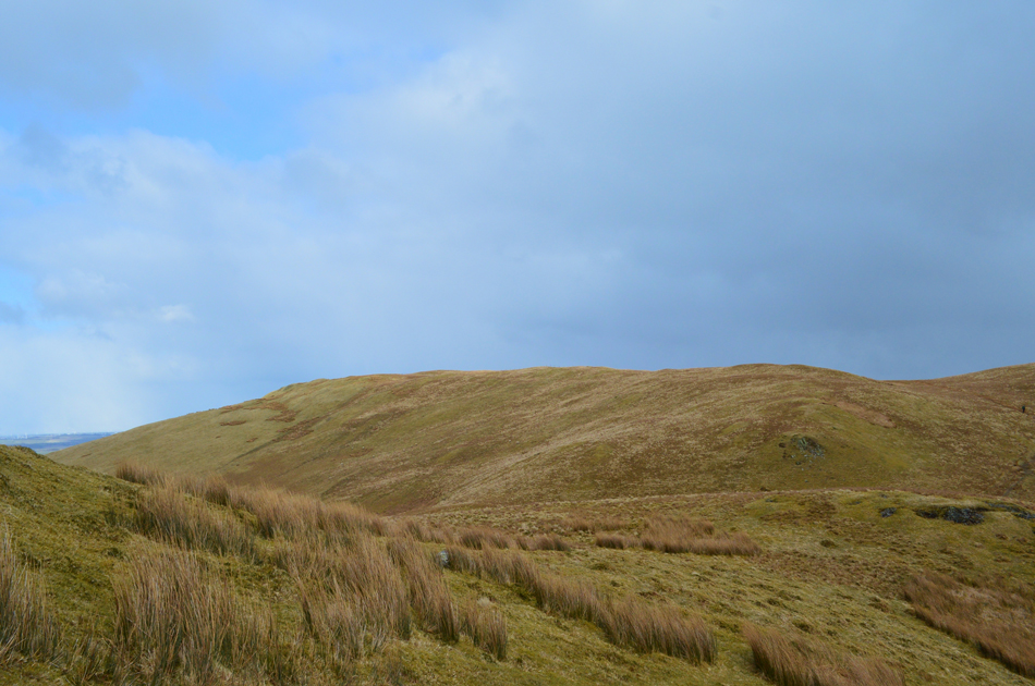 |
| Sourfoot Fell is just ahead. |
| Again only a slight drop in height enabled us to talk normally again and at some points even the hoods came down such the sudden drop in winds between the summits. We continue to follow the path but break away at a 'Y' branch in the path, continuing ahead here would flank around Sourfoot Fell, we break left slightly and follow the wire fence and crest the summit. |
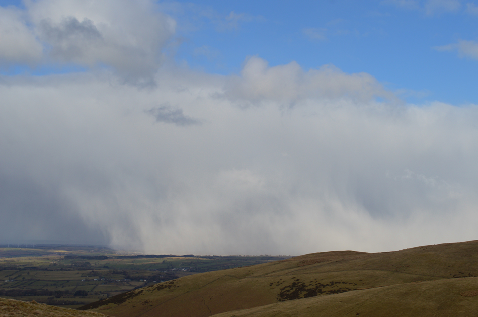 |
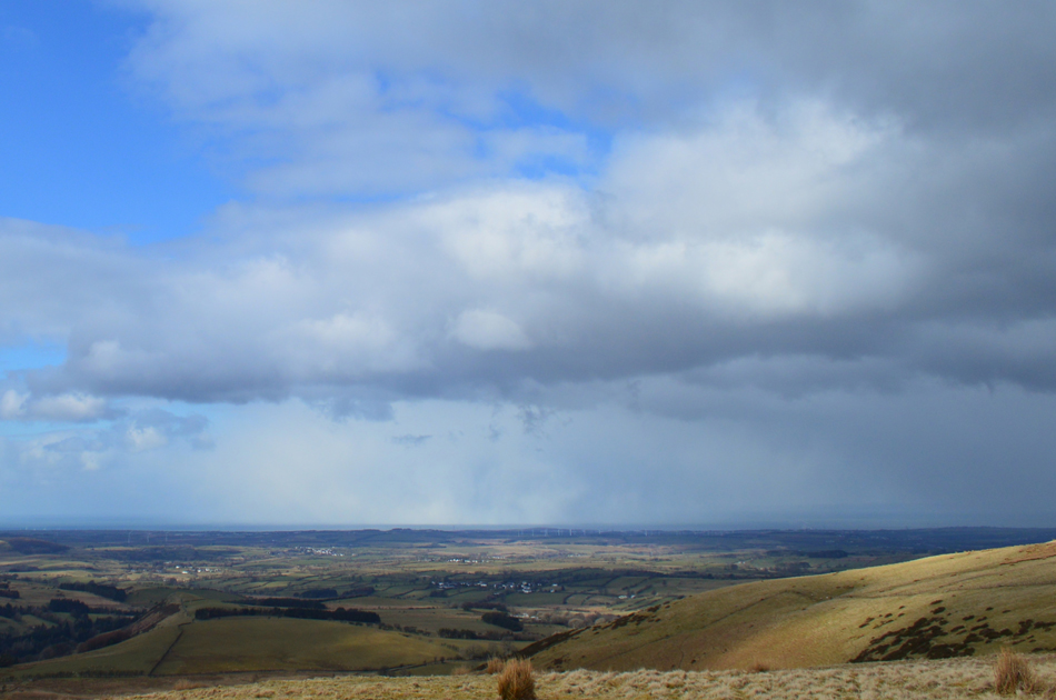
| Watching a snow shower pass over the direction of Workington. |
| |
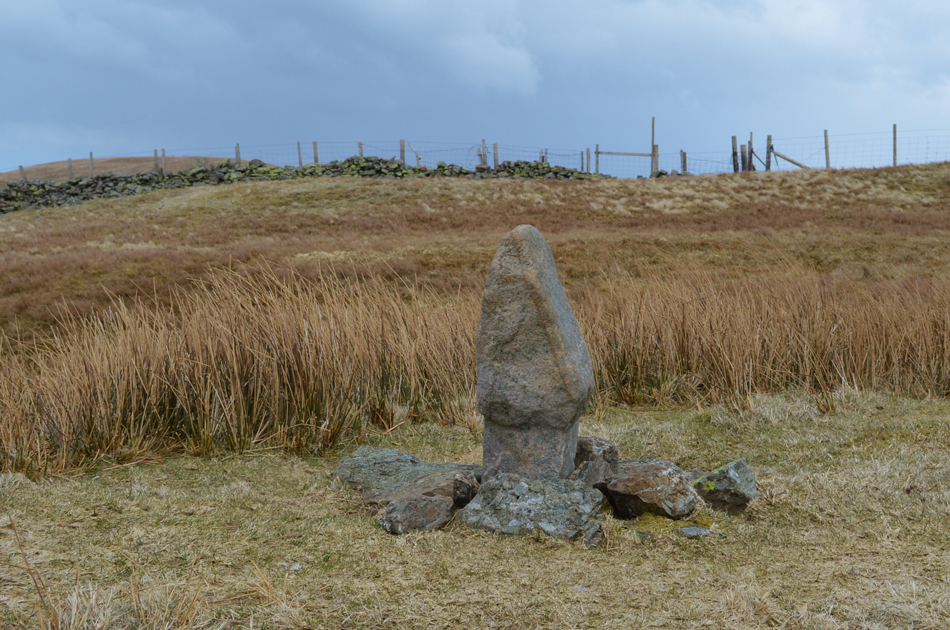 |
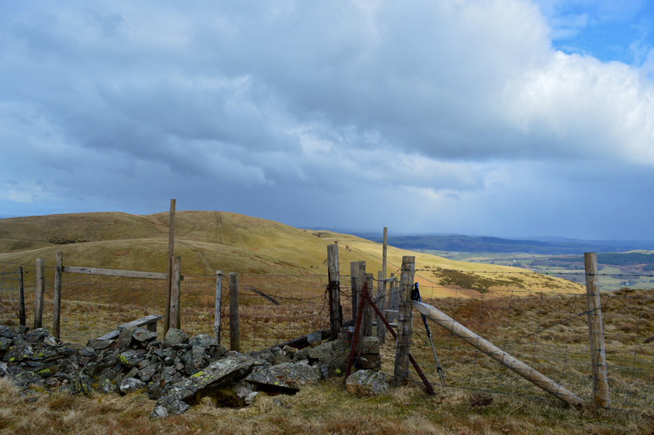
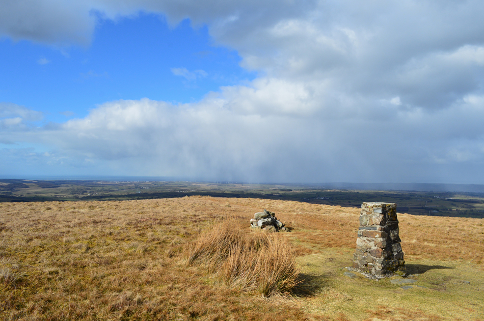
| The Boundary Stone at Sourfoot Fell summit. |
| You can see the wire fence we followed over in the right of the photograph, the grassy summit over on the left is Fellbarrow. |
 |
| Low Fell and Loweswater Fell seen over Beckhead Moss from Sourfoot Fell. |
| Splendid. |
 |
| Smithy Fell and Fellbarrow from Sourfoot Fell. |
| With brooding skies overhead we returned to the fence, and my walking poles right at the point when the sun broke through and would continue to do so for the duration of the walk. |
 |
| Smithy Fell (foreground) seen with Fellbarrow and Broadmoor Hill from Sourfoot Fell. |
| |
 |
| More snow showers seen towards the Cumbrian coast from Smithy Fell. |
| The summit of Smithy Fell was easily reached where the highest ground was the corner of the fence which descended down the hill side before continuing up towards Fellbarrow. The lack of summit cairn however didn't matter when your view is as good as this. |
 |
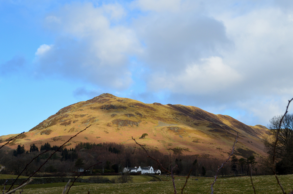
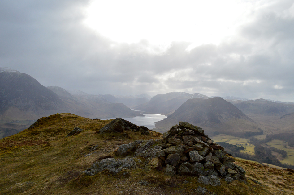
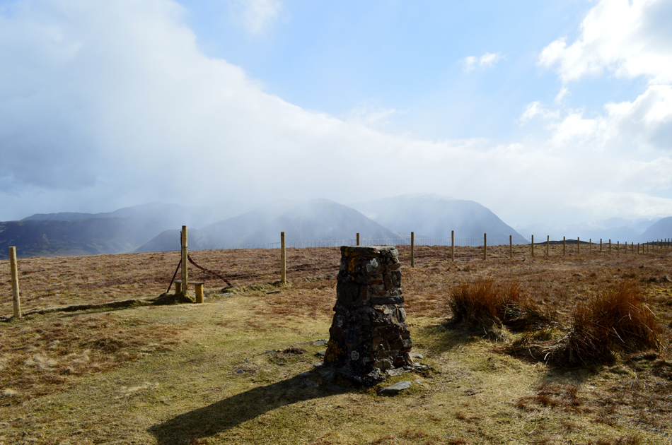
| Fellbarrow summit. |
| Despite the brightness Fellbarrow was todays highest point and the windchill here was some of the worst we'd experienced all morning. We are soon joined by a solo walker who had two dogs with him, over the wind a Hi was shared before we left for todays final summit of Hatteringill Head found just under half a mile away before retracing our steps back to Fellbarrow for the descent back to Mosser Fell Road. |
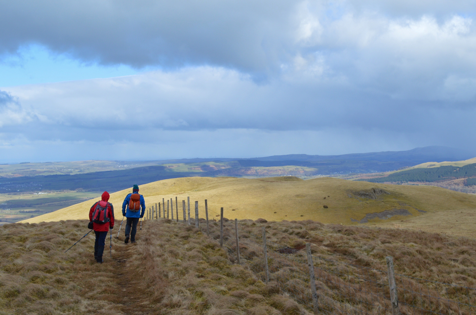 |
| Descending Fellbarrow for Hatteringill Head. |
| No, your screen is not wonky, thats Rod and David being forced to lean into the wind as they walked. |
 |
| Clearing views over Lorton Vale towards Whiteside, Swinside, Ladyside Pike and Hopegill Head. |
| In fact, between the snow showers the air was incredibly clear. |
 |
| Hattering Gill Head summit. |
The wind was again about as strong as we had encountered and at one point I even joked about throwing one of my walking poles like a javelin to see how far it would travel, I reckoned the Isle of Man easily in these winds.
Joking aside, this was my first visit to Hatteringill Head and I strongly recommend it, it's summits like this that I wished I lived just ten minutes away - I can easily see me and my dogs sat here on a Summer evening watching the sun go down over the Irish sea. |
 |
| Looking back on Hatteringill Head summit. |
| As we re-trace our steps back to Fellbarrow summit. We took our time, and spent a few moments on Hatteringhill Head summit fooling around, in all, the out and back took us forty minutes from Fellbarrow. |
 |
| Meanwhile back at Fellbarrow. |
| We watched another snow shower pass over Whiteside and Grasmoor, good times. |
 |
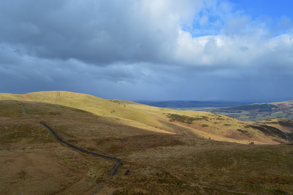
| Descending Fellbarrow western flank (Mosser Fell) towards Mosser Fell Road. |
| Seen here running parallel through the centre of the photograph. |
 |
| The top of Fangs Brow from Mosser Fell Road. |
| |
 |
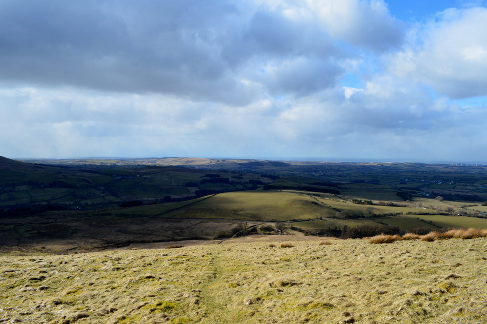
| Carling Knott and Burnbank Fell seen over Loweswater from Mosser Fell Road. |
The snow showers returned as we descended Fellbarrow which was quite thick at times but the sun was never far away creating dramatic light shows as the light passed through. Warmth soon returned and for the first time this morning we could hear ourselves talk without having to communicate using nods or hand gestures. The Fell Road was reached and with it came a definite calm as we descended further down the track and soon the wind was confined to just the tree tops once more.
Next weekend the clocks go forward and we lose an hour in bed but gain one on the fell, I love this time of year. |
|
| |
| Back to top |
 |
|