Walking the Birketts, Bampton Fell above Haweswater

7th April 2018

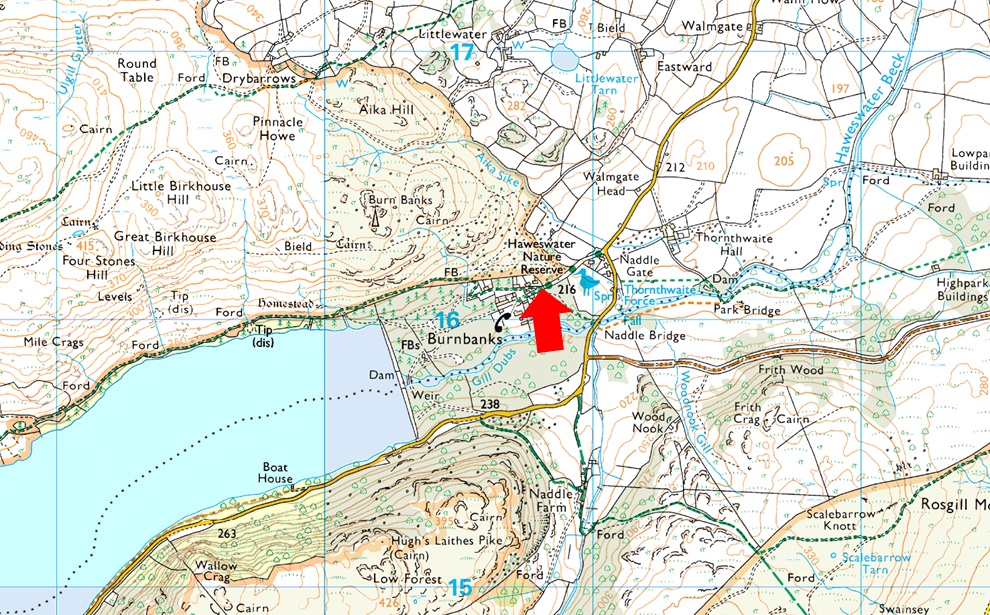
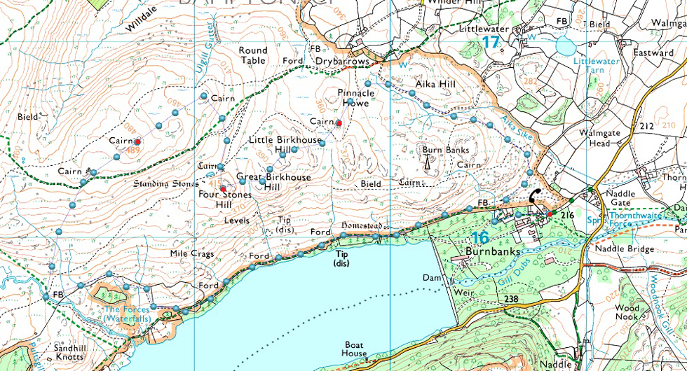
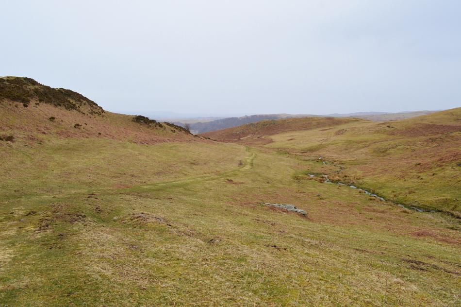
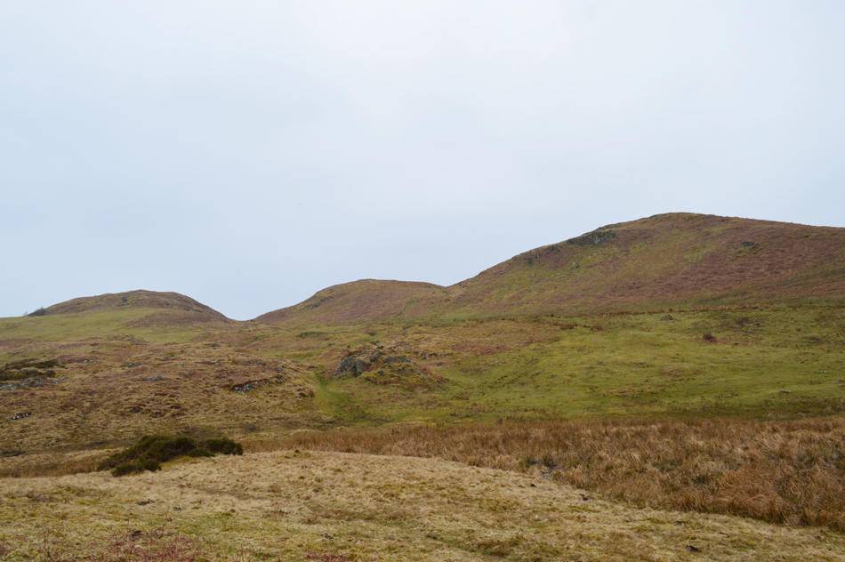
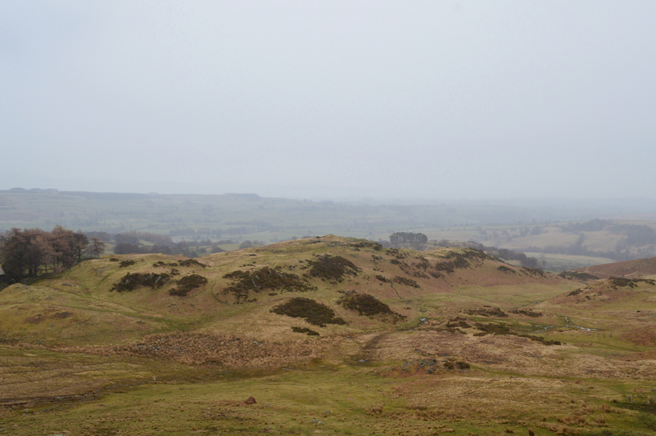
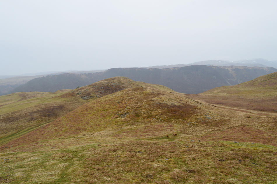
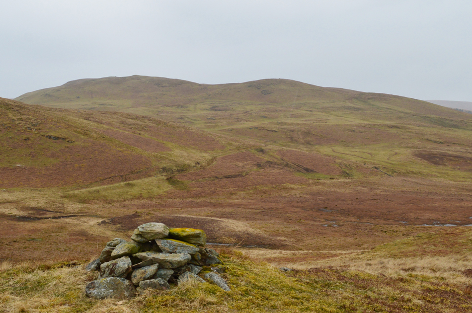
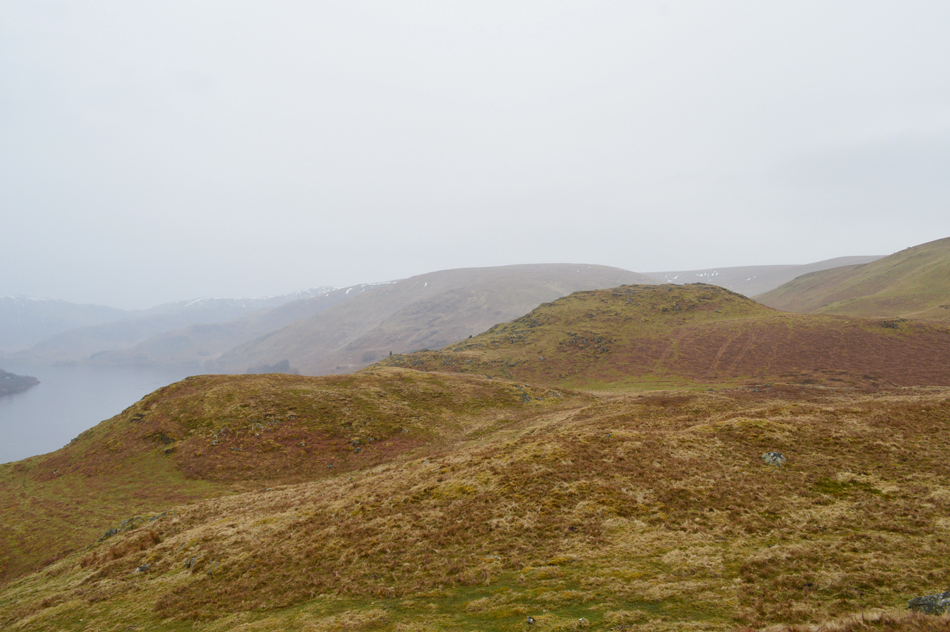
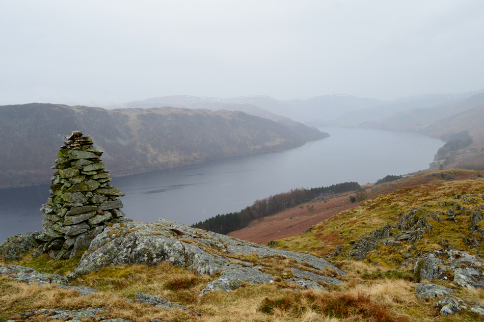
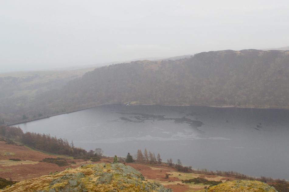
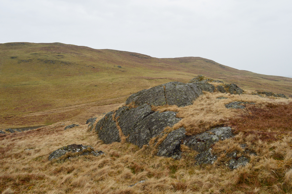
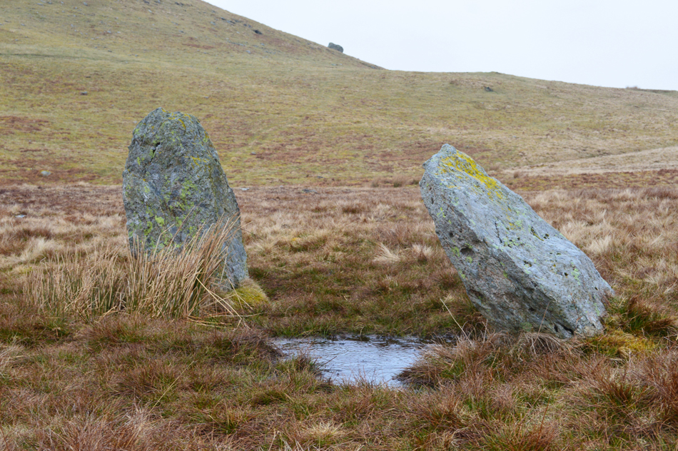
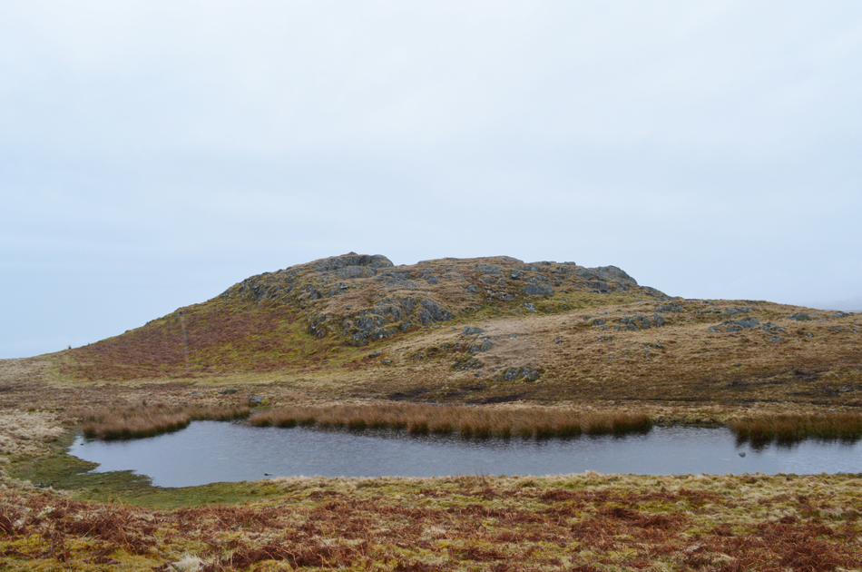
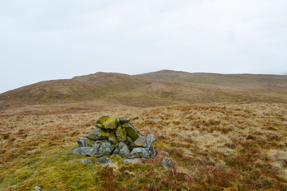
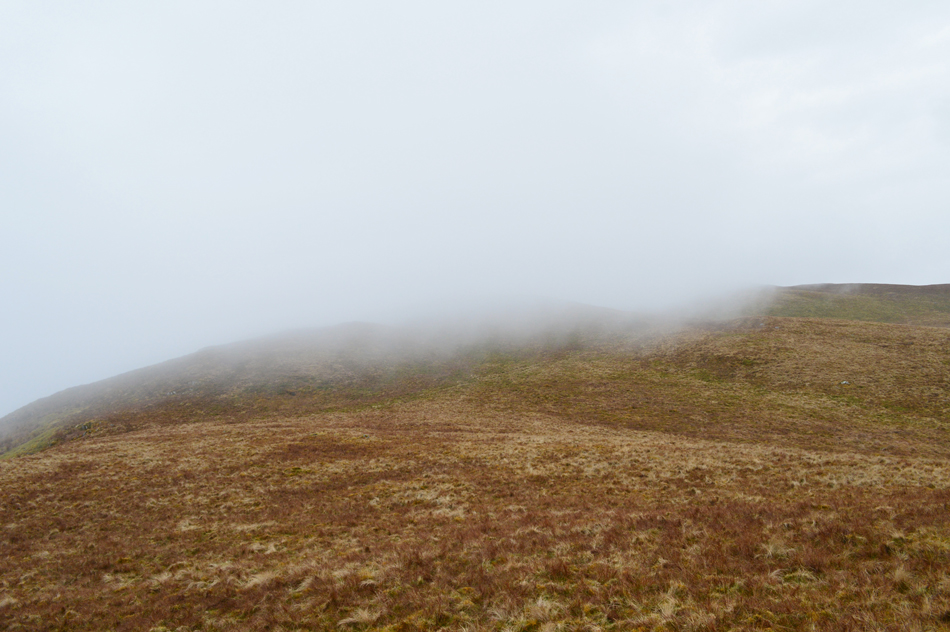
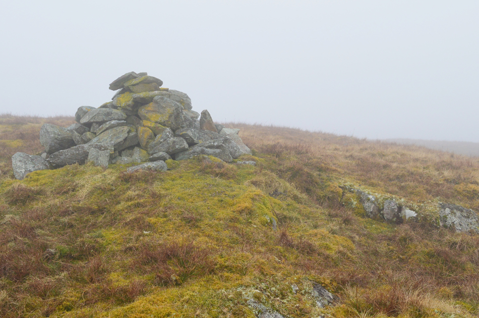
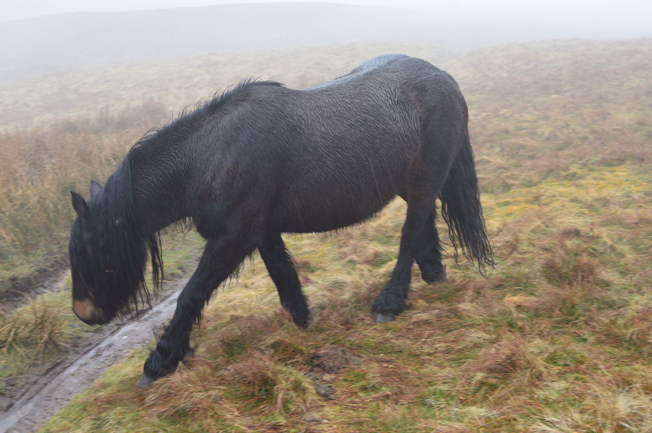
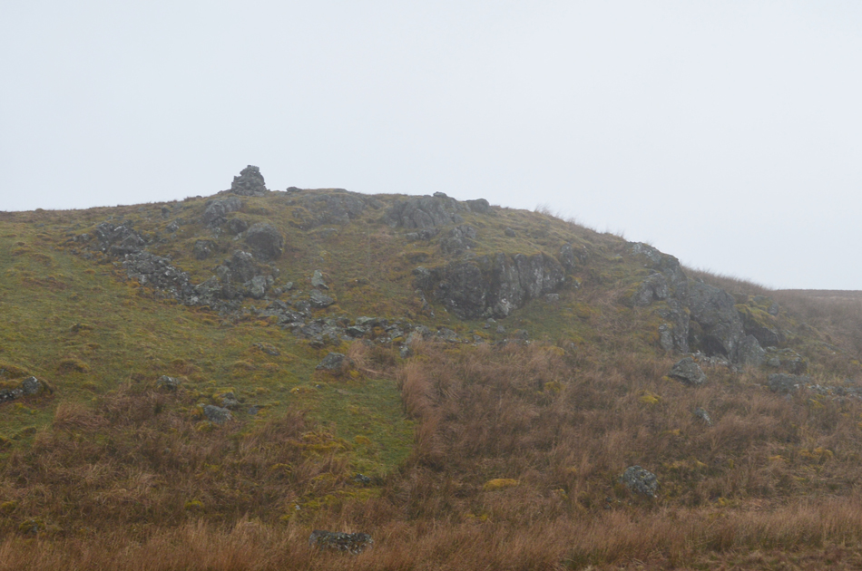
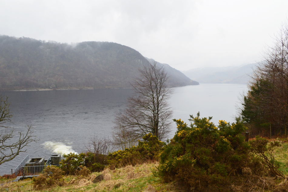
From Bampton Grange we drove through to the hamlet of Burnbanks where todays second walk officially starts. Its been some time since I was last here and everything was exactly how I remembered it. 'Bampton Fell above Haweswater' collects three Birkett summits with Pinnacle Howe, Four Stones Hill and Bampton Fell.

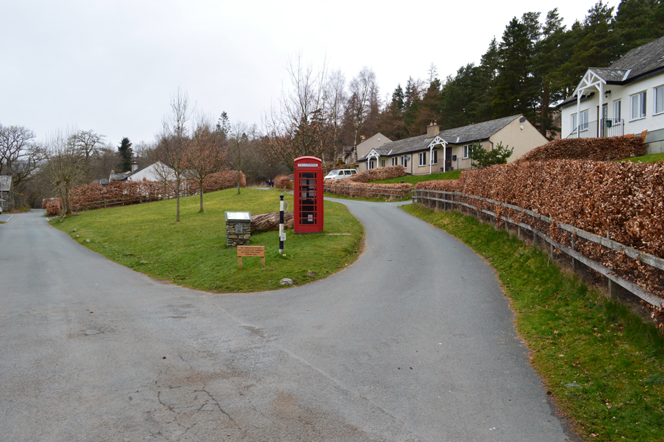
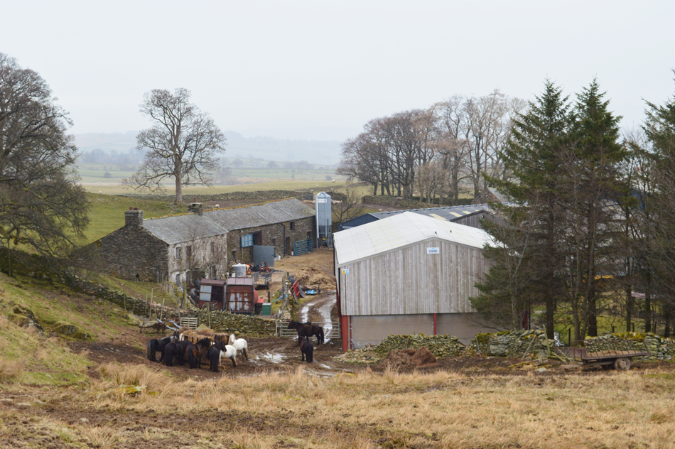
Starting from the historic village of Burnbanks which pre dates the construction of the Haweswater Dam where during the 1930's dam engineers and their families would occupie the village to the dismay of locals who had been without electricity and water supplies which were only connected to the workers homes and not the residents.

It is said that at the entrance to Burnbanks village there used to be gates that were locked at night to keep the residents in, and intruders out! Thankfully the gates have been removed a long time ago allowing for todays walk 'Bampton Fell above Haweswater'

 
The Complete Lakeland Fells
By Bill Birkett

-Four Stones Hill

Descend and cross to the cairn which provides a remarkable viewpoint along Haweswater to the rugged head of Mardale.


Overview
Ascent: 1,096 Feet - 334 Metres
Birketts: Pinnacle Howe - Four Stone Hill - Bampton Fell
Weather: A Dry Start With Rain Arriving For The Duration. Highs of 10°C Lows of 10°C
Parking: Parking Spaces, Burnbanks
Area - Group: Far Eastern - E/LOA
Miles: 4.8
Walking With: David Hall
Ordnance Survey: OL5
Time Taken: 2 Hours 50 Minutes
Route: Burnbanks - Pinnacle Howe - Birkhouse Hill - Four Stones Hill - Bampton Fell - Measand Beck - Burnbanks
 

Parking Details and Map
Nearest Post Code: CA10 2RL
Grid Reference: NY 507 716
Notes: Burnbanks is found at the far eastern edge of Haweswater where there is a car park at the entrance to the village on the left (opposite the red phone box) with room for up to eight cars. Popular routes from the car park include Four Stones Hill, Wether Hill or even a walk around Haweswater Reservoir.


Map and Photo Gallery


Burnbanks 10.00am 10°C
Thankfully the rain had held remaining dry and muggy by the time we arrived at Burnbanks. We parked easily although had we left it any longer we may have struggled owing to a number of cars already parked up, behind one car a group of women are getting ready to leave. Making sure we had our waterproofs I added my baseball cap for when the rain eventually arrives. With the cars locked we headed out passing the phone box towards the top of the lane and open fell side.


The view back as we approach Drybarrows Farm.
Having made a slight navigational error which we soon corrected we traced our way to the rear of Drybarrows Farm keeping Aika Hill to our right, soon Pinnacle How appears to the left but Birketts route doesn't make a B-line straight for the summit instead we stride over Pinnacle Howes neighbouring summit first.

That's Pinnacle How seen centre.
We continue northwards picking up the ridge over on the far right. The rain had finally caught up to us which started as drizzle at first soon turning to light and vertical, the kind of rain that gets you wet very quickly! Thankfully there was little wind so it wasn't too unpleasant, just yet.

Looking down on Drybarrows Farm.
Drybarrows Farm really has that old look about it combined with new modern sheds. We weren't too sure if the ponies belonged to the farm or if they were wild.

Aika Hill from Pinnacle Howe neighbouring summit.
That's the route we came in from to the right of Aika Hill, it was pretty dry underfoot until we reached the boggy bit seen below, not helped by the falling rain of course.

Pinnacle Howe.
Time to descend before the short ascent of Pinnacle Howe seen centre.

Bampton Fell from Pinnacle Howe summit.
Bampton Fell, after which this walk is named after, it isn't named on the map but is seen at 489'

Four Stones Hill from Great Birkhouse Hill.
After descending Pinnacle How we crossed over boggy ground before steeply ascending Great Birkhouse Hill where we were treated to views over Haweswater for the first time. That's Four Stones Hill seen centre which is where we're heading next.

Haweswater taken below Four Stones Hill.
"Descend and cross to the cairn which provides a remarkable viewpoint along Haweswater to the rugged head of Mardale Head" Bill Birkett.

Looking east towards Haweswater Dam.
It's starting to get really wet and murky with the rain falling much heavier now.

Bampton Fell from Fourstones Hill summit.
 

Standing Stones, Four Stones Hill.

With the rain getting heavier it was probably too late to add over trousers but it was heavy enough to check that our car keys weren't going to get ruined in our now soaked packs.

I'm not sure why we buy expensive waterproof gear then when it rains leave it in our packs! Oh well never mind, it's only rain I guess.


Leaving Four Stones Hill as we head for Bampton Fell.
 

Bampton Fell (centre right) from the east cairn.
The rain continued to pour as we made out ascent towards Bampton Fell east cairn which had been visible from Great Birkhouse Hill earlier. From the east cairn you do get a great view of Bampton Fell summit together with its prominent cairn.

Within minutes we had lost our view as low cloud rolled in.
That was quick!

Bampton Fell summit cairn.
There is no path between east cairn and Bampton Fell summit and with hummocky boggy ground underfoot, it felt much tougher than it should have.

"Oh look two people are heading towards us"
This was a pretty spooky moment when the pair of us actually said "oh look two people are heading towards us" I can understand one of us getting it wrong but the both of us! Either way what we thought were two walkers actually turned out to be this fell pony who came within feet of us.

Bampton Fell Pony.
Then casually walked around us before bolting off and disappearing back into the mist, I guess it was our minds playing tricks on us, we wondered was this pony from the group we had seen earlier.

Passing Bampton Fell West cairn.
Ok, time to make our descent towards the footbridge over Measand Beck.

Wallow Crag seen over Haweswater.
As far as views were concerned there weren't any, even after dropping out of the cloud the rain continued to pour making our descent a slippery one indeed. Within sight of Measand Beck we headed east finding the shore footpath below.

Back at Burnbanks.
The shore footpath was quite busy with families and walkers taking advantage of a low level walk in the rain, we however looked like two drown't rats but I guess that doesn't matter after a fantastic couple of hours walking in the rain.


Back to top