Walking the Birketts, Hartsop Horseshoe

2nd May 2018

I'd liked to have spent my week of work fell walking but unfortunately I had a few bits and bobs do to at home one of which was laying a new wood floor in our vestibule which for some reason, I'm a tad hand at. With the grass cut and the garden screening up I had my green light for a fell walk but unusually for May the weather wasn't playing ball.

This, might work to my advantage in helping to ease my foot pain despite the huge sulk I started to look at the weeks forecast and chose two days, Thursday and Sunday. I woke this morning to see blue skies peeping through the blinds and decided to check BBCs forecast for the day (urgh hate using this) which had forecasted a bright afternoon after the morning showers had cleared, I text Paula who was at work that I'd had a change of plan and that I was on my way to Lakeland.

I usually plan a bit of an epic walk to celebrate my birthday on the 4th; this might still happen depending on how my foot feels but for now I chose at random Birkett's Hartsop Horseshoe which ticked all my boxes for an early afternoon walk on the fells.

 
The Complete Lakeland Fells
By Bill Birkett

Steep sections of ascent and descent, and surprising length make this walk more of an outing than first impressions may suggest.


Overview
Ascent: 2,812 Feet - 857 Metres
Birketts: 3, Hartsop Dodd - Stony Cove Pike - Gray Crag
Weather: Overcast & Showers to Start. High Level Cloud With Broken Sunshine, Freezing Above The Summits. Highs of 12°C Lows of 9°C Feels Like -1°C
Parking: Car Park, Hartsop
Area - Group: Far Eastern - E/HST
Miles: 6.2
Walking With: On My Own
Ordnance Survey: OL5
Time Taken: 4 Hours
Route: Hartsop - Hartsop Dodd - Stony Cove Pike - Threshthwaite Mouth - Thornthwaite Crag - Gray Crag - Path above Hayeswater Gill - Hartsop
 

Parking Details and Map
Nearest Post Code: CA11 0NZ
Grid Reference: NY 410 213
Notes: A very popular car park in the hamlet of Hartsop giving access within the heart of the east and far eastern fells just a few minutes stroll away from Brothers Water. The car park is situated at the end of a narrow lane which provides the backbone to the village. An honesty box can be found next to the gate at the far end of the car park.


Map and Photo Gallery


Hartsop Dodd seen after crossing Hayeswater Gill just outside Hartsop 13:20pm 9°C

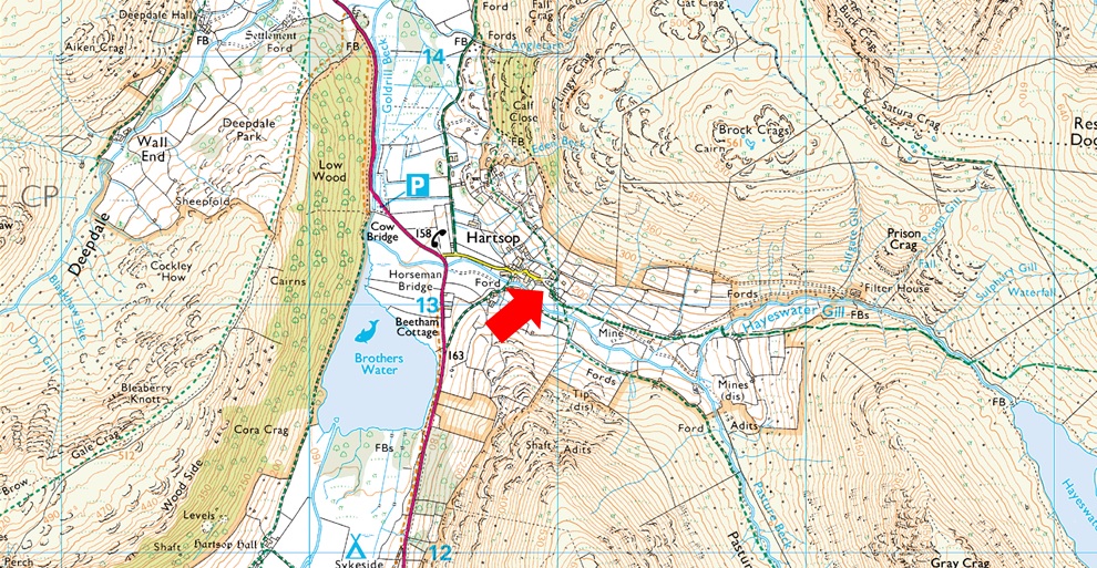
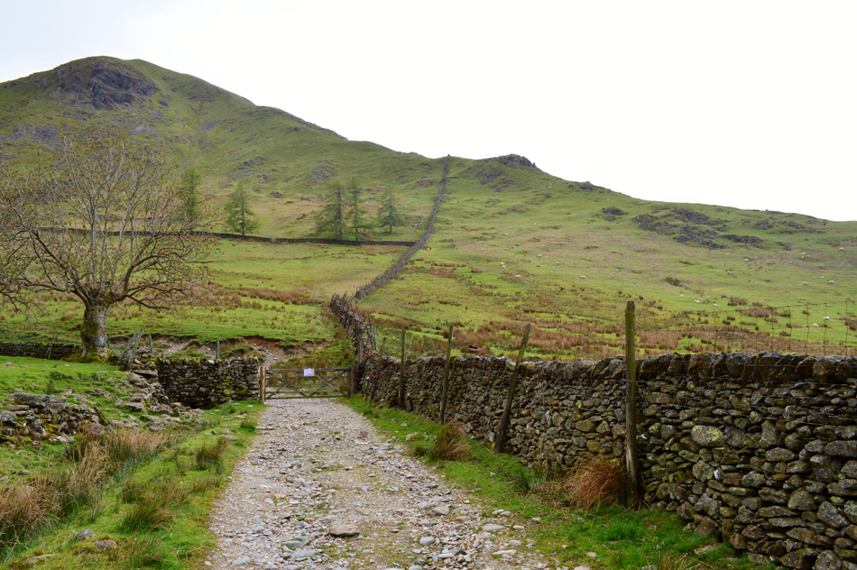
It only took around an hour and forty minutes to reach Hartsop from Wigan and that's with mid afternoon traffic which is a pretty convenient location for any off the cuff walk such as todays. I was right not to worry too much about parking having options where to park on arrival yet Hartsop despite this, still felt deserted. I'm back to wearing shorts again but in hindsight my decision might be too soon feeling the cool wind during kit up, ahh well I thowt, the steep ascent onto Hartsop Dodd will put a stop to that.

I locked the car and threw my pack over shoulder then threaded my other arm through the strap, it was right about here that I noticed little droplets of rain hitting my jacket but didn't put it down to anything other than a little 'rain in the air' unbeknown to me, the heavens are about to open.

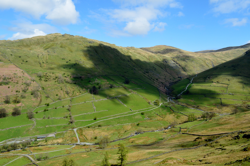
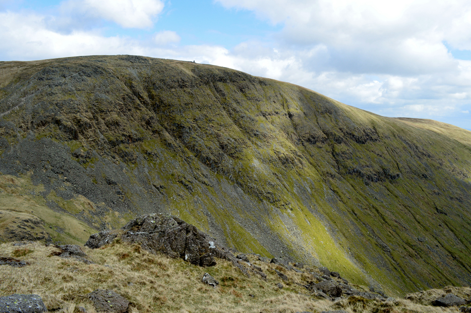
At the time I hadn't gained enough height to see which direction the shower was coming from which thankfully after around fifteen minutes petered out into nothing with just the odd droplet in the air, up ahead strong sunlight had broken through striking the nose of the fell and through the glistening light, it was still raining quite heavily. It bodes well to sit the shower out until it passes.

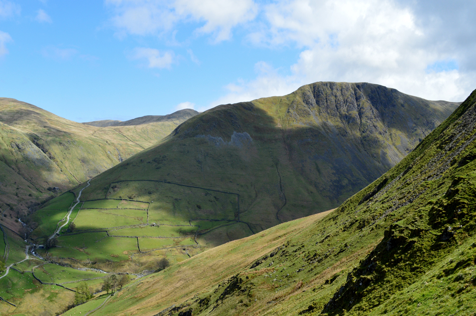
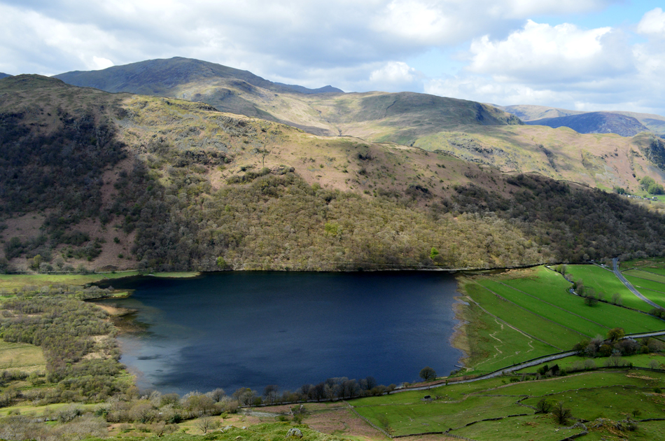
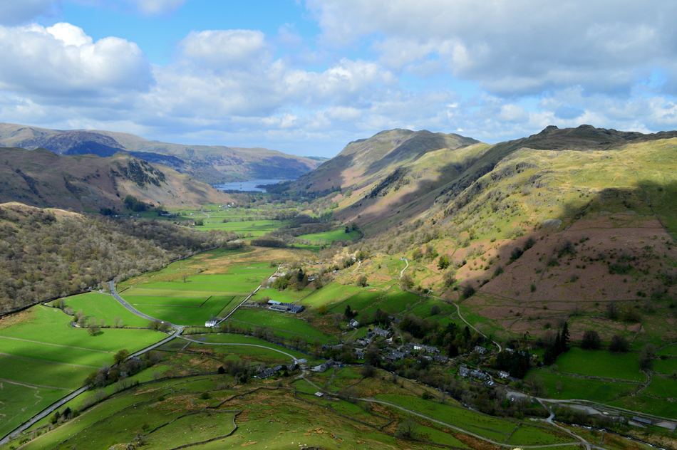
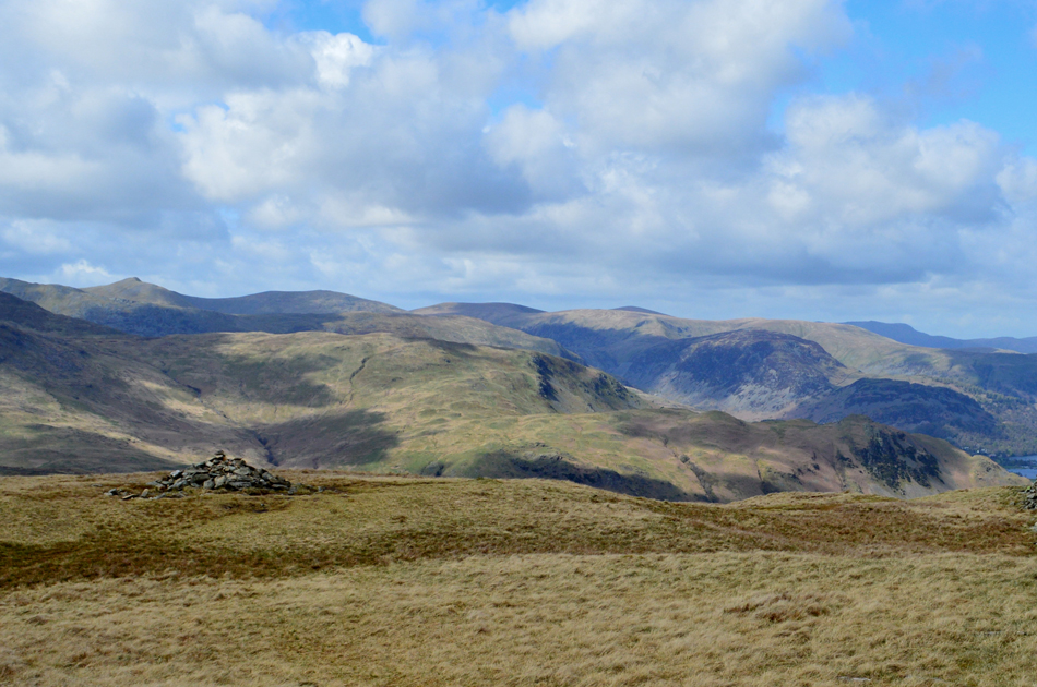
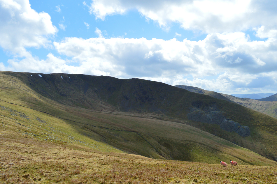
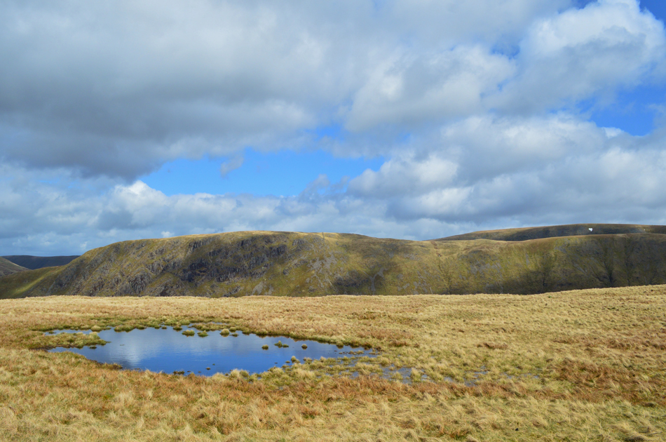
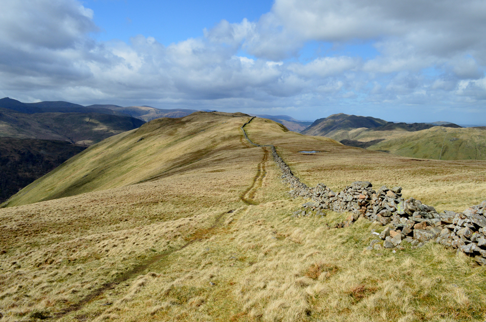
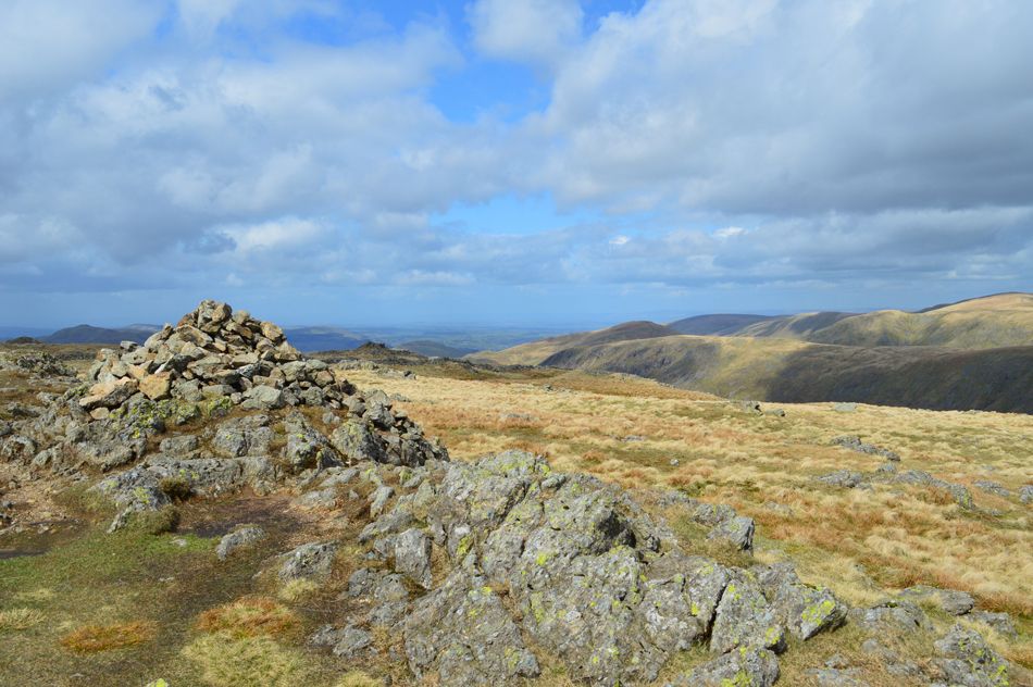
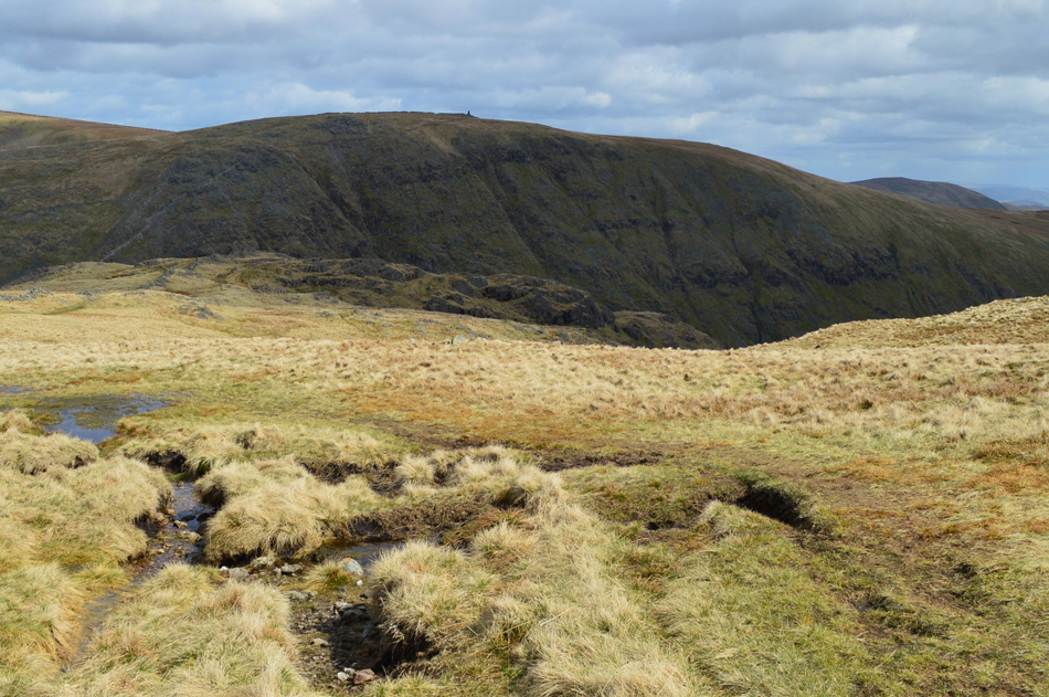
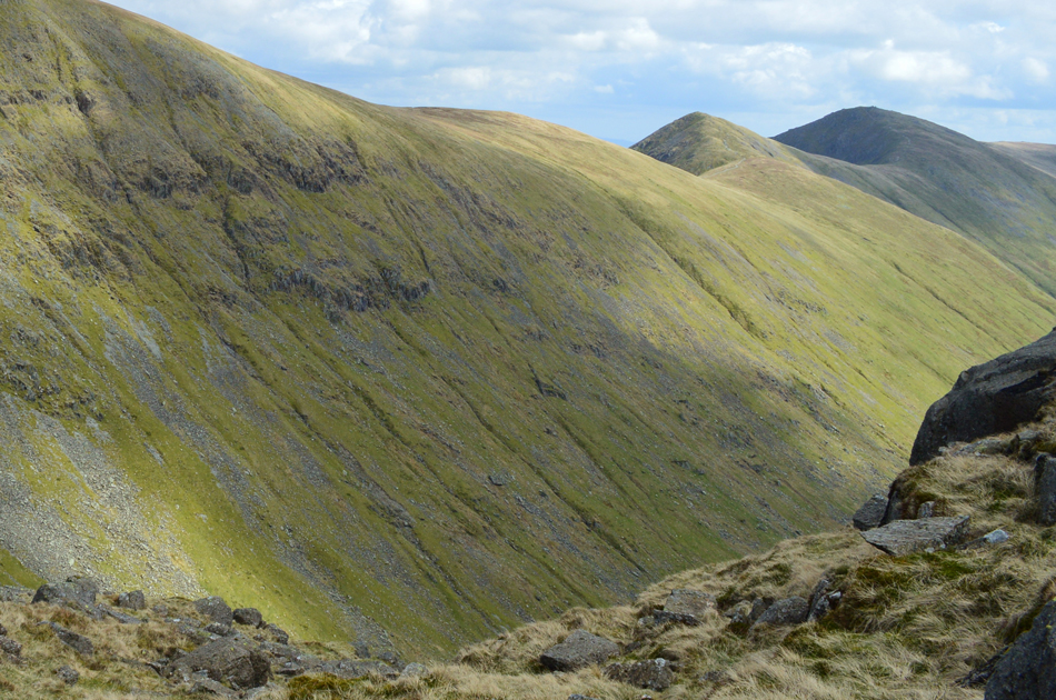
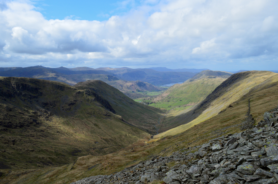
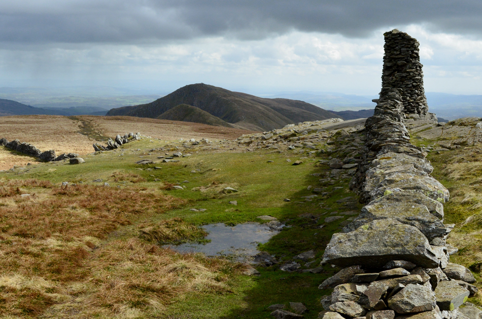
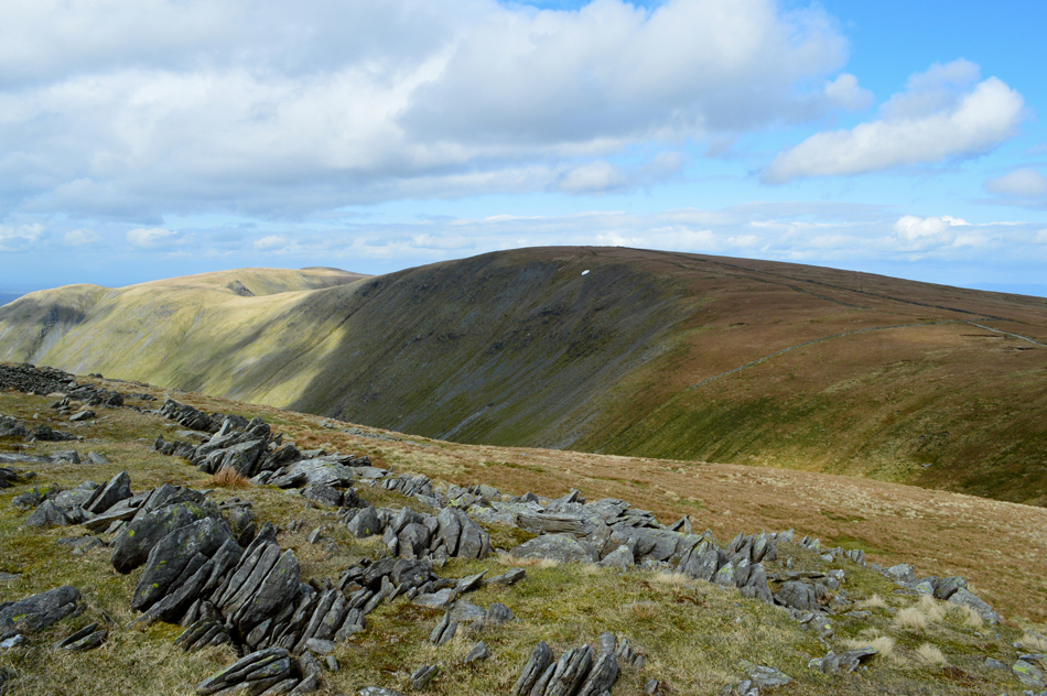
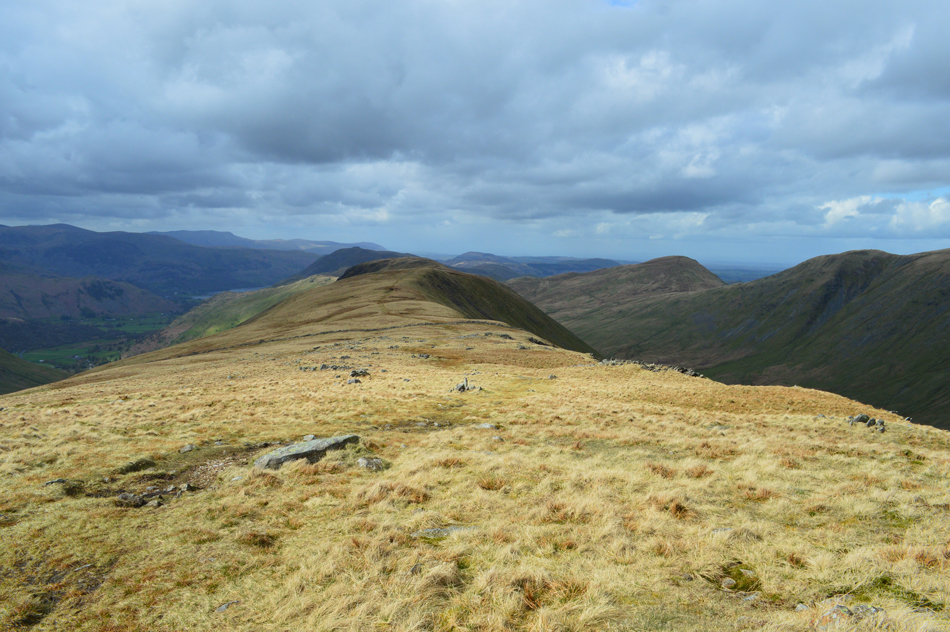
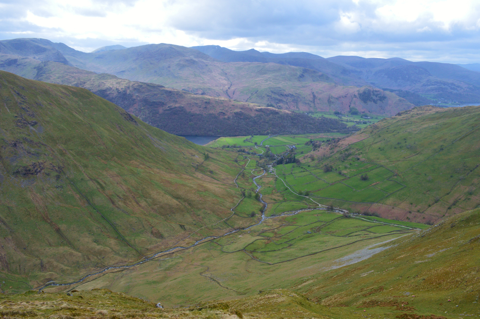
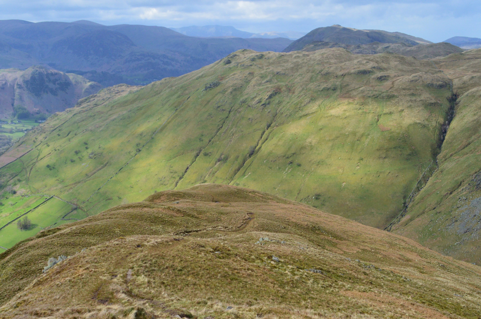
After the shower, superb clarity and more striking sunlight.


Here looking across to Brock Crags and Rest Dodd.
It just goes to show the effects after a good shower, it's hard to believe that it's the same day never mind this photo, and the last were taken just ten minutes apart.

Thats's Gray Crag todays final summit of the day with Rest Dodd (left) The Knott and Rampsgill Head in the distance.
 

Here looking back over Hartsop below with Brock Crags, Angletarn Pikes and Place Fell lit up in beautiful afternoon sunlight.

Ascending the nose of Hartsop Dodd always feels steep no matter the amount of times I've climbed it but the views today were just outstanding to say the least which gave me the excuse to stop for more breaks than I usually would. Adding to the spectacular views was the sight of a helicopter who in calibration with Fix the Fells were dropping bags of stone on the path up to Boredale Hause, from what I could see the helicopter was collecting the stone in Patterdale before taking the short flight to the path. It must have made half a dozen passes in the time it took me to ascend the north ridge of the fell, I can only imagine the views any walkers took from Place Fell must have been some sight.`


The view over Brothers Water towards the Hartsop above How ridge, Arnison Crag, Birks, Gavel Pike and St Sunday Crag.
The dark peak in the distance is Catstye Cam with Sheffield Pike and Hart Side over on the right.

One last photograph looking down the north ridge with views extending as far as Ullswater and Gowbarrow Fell.
 

A host of Eastern fells from Hartsop Dodd summit.
Protected from the wind during the ascent of the north ridge so on reaching the shoulder of the summit a significent windchill was instantly felt, if I wernt so stubborn, and this wasn't April I'd be reaching for the gloves and hat right about now! From the summit cairn I took a wander over to what is considered to be Hartsop Dodd offical summit.

The Wooden Post.
Showing the age of time and the effects from the elements this post has been here as long as I've been fell walking, Hartsop Dodd summit just wouldn't be the same without it.

The lovely ridge to Caudale Moor (Stony Cove Pike)
With Thornthwaite Crag over in the distance.

Here looking towards Caudale Moor with the old Slate Mine seen lower right.

It is said that the track leading to the slate mine (from Caudale Bridge/Kirkstone Pass) was once the steepest mine track in the Lake District, I've used this ascent myself and I'm pleased to say that it isn't part of my daily commute to work unlike the miners who had to ascend the steep gradient come rain or shine before starting a hard days work.

I press on.


Gray Crag seen over Pasture Bottom.
With High Street in the distance over on the right.

Looking back along the ridge towards Hartsop Dodd.
It really was a day of mixed sunshine and broken cloud, most of the images I took today were taken when the sun decided to come out which I took advantage of before it went back in again. The light when the sun was out was so clear with views for miles around.

Stony Cove Pike summit.

I continued to follow the stone wall until the ground underfoot completely levelled out. Over on the right, and across the grassy summit plateau is the summit of Caudale Moor and further west is John Bell's Banner, two summits that are recognised by Bill Birkett which are featured in a different walk. Today I'm tracing southwards towards Stony Cove Pike all the while blowing warm air into cupped fist.


The Beacon on Threshthwaite Mouth appears as I start to make my descent towards Threshthwaite Mouth.
I'm really fond of this type of condition where the light changes so rapidly leaving the colours of the grass so vivid while being surrounded by shade.

Froswick and III Bell from the top of Threshthwaite Mouth.
 

Thornthwaite Crag from the top of Threshthwaite Mouth.
 

Looking into Pasture Bottom with Hartsop Dodd on the left and Gray Crag on the right.
With Caudale Moor (Stony Cove Pike) behind me I started my descent into Threshthwaite Mouth where care has to be taken due to the winding steep stone path, it's the kind of hands on descent where walking poles really come in handy, then get in the way! Having made the descent I crossed the col and began the ascent on Thornthwaite Crag, again this is a steep stoney ascent but there is a good path underfoot which partly zigzags taking out the worst of the gradient before levelling out at the summit shoulder.

Looking back over Threshthwaite Mouth towards Caudale Moor (Stony Cove Pike) and Hartsop Dodd.
 

Froswick, III Bell and Yoke from Thornthwaite Crag.
Having crested the shoulder of Thornthwaite Crag I made my way towards the summit beacon finding a couple who were just about to make their descent over Threshthwaite Mouth, we shared a friendly hello before going our separate ways.

Views over Pasture Bottom towards High Street, the Straights of Riggindale, The Knott, Rampsgill Head and High Raise (Martindale)
Time to take on the fabulous Gray Crag ridge now, I always really enjoy this descent especially the views.

Gray Crag with The Knott and Rest Dodd in shadow seen over Pasture Bottom.
The cloud really is starting to bubble up now blimey it's flippin cold.

Time for a minute.
I guess it serves me right being so stubborn not wearing my gloves because now my hands are red raw! I drop from the ridge just prior to reaching the summit to take in the view over Hayeswater, The Knott and Rest Dodd. In my little haven there wasn't a breath of wind as I watched the waves lap the shoreline from high above. I really could have stayed here much longer.

Caudale Moor (Stony Cove Pike) from Gray Crag summit.
It looks (and feels) like the sun has given up now while overhead more cloud bubbles up leaving a faded glimpse of light behind the cloud where the sun once was. Oh well not to worry.

The view over Pasture Bottom towards Hartsop with the Eastern fells silhouetted in the distance.
 

Descending Gray Crag with views of Brock Crag and a distant Place Fell.
At any other time I would normally avoid descending the nose of Gray Crag in favour of a descent via the east flank of the fell side where I would descend pathless towards the Hayeswater outflow which offers great views over Hayeswater and is a little less gentle underfoot, however, Bill Birkett recommends to descend via the nose avoiding the craggy bits by using the zigzag path, something that I haven't done in a while and thoroughly enjoyed while taking in the view over Hartsop and Brock Crags.

Hartsop Dodd North Ridge from the ruined barn found above Wath Bridge.

The nose of Gray Crag was as steep as I remembered and after joining the path back to Hartsop I kicked my feet back into my boots, my foot had fared well and I was pleased to be back in the sunshine again even if it was for the remaining minutes of the walk. I had only seen the couple back on Thornthwaite Crag as I'm treated to views into Pasture Bottom and beyond Threshthwaite Mouth. Stony Cove Pike and Thornthwaite Crag rise above still immersed in shadow looking as chilled as I had left them.


Back to top