|
Stybarrow Dodd, Hart Side and the Glencoyne Traverse |
 |
 |
Overview |
 |
|
| Ascent: |
2,997 Feet - 914 Metres |
| Wainwrights: |
2, Stybarrow Dodd - Hart Side |
| Visiting: |
Birkett Fell |
| Weather: |
Not a Cloud in The Sky, Hazy. Highs of 20°C Lows of 8°C |
| Parking: |
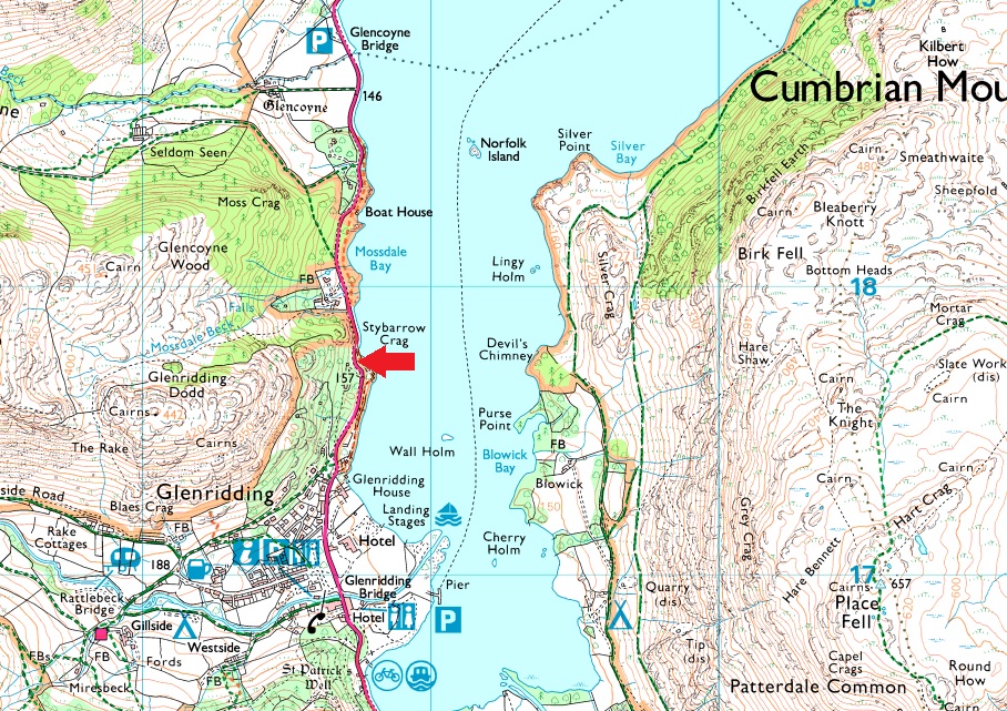
Stybarrow Crag, Ullswater |
| Area: |
Eastern |
| Miles: |
10 |
| Walking With: |
David Hall & Rod Hepplewhite |
| Ordnance Survey: |
OL5 |
| Time Taken: |
6 Hours 5 Minutes |
| Route: |
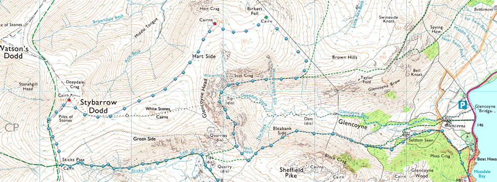
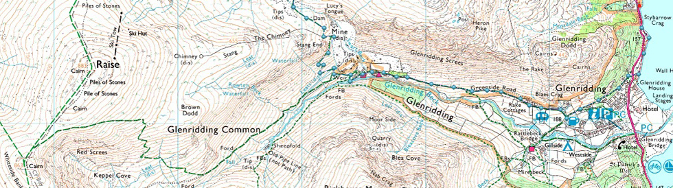
Stybarrow Crag – Glenridding – Greenside Mines – Top of Sticks Pass – Stybarrow Dodd – Hart Side – Birkett Fell – Glencoyne Traverse – Seldom Seen – Stybarrow Crag |
|
| |
|
Parking Details and Map |
|
|
| Nearest Post Code: |
CA11 0NG |
| Grid Reference: |
NY 387 117 |
| Notes: |
The parking spaces at Stybarrow Crag are perfectly positioned for walks into and Glenridding, the Helvellyn range or even just a short walk up Glenridding Dodd. If travelling from the north the parking spaces will appear on the right as a long layby right opposite Ullswater or from the south they will appear on left after leaving Glenridding. Despite the popularity of the surrounding fells and villages you would only have trouble parking here if left late into the day during Summer. Parking is free. |
|
| |
|
Map and Photo Gallery |
|
|
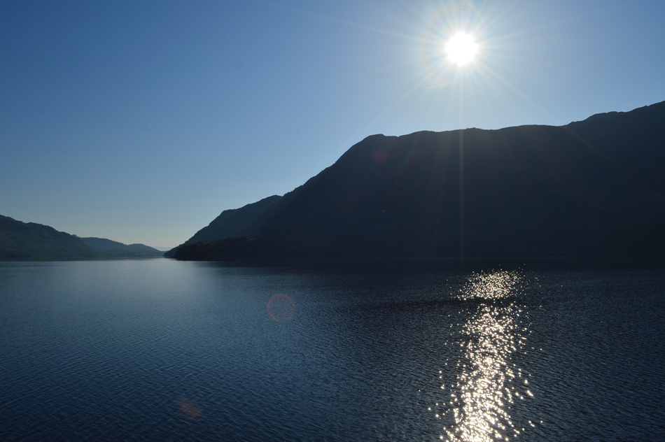 |
| Sunrise over Birk Fell (Place Fell) from Stybarrow Crag, Ullswater 07:50am 8°C |
| I had a pretty uneventful drive north until I reached Glenridding where I passed a bad car accident just outside the village where a car had left the road and had toppled a lamp post leaving the car unrecognisable. I could see the cars occupants who were walking wounded stood next to the car while waiting for a ambulance to arrive which passed me at full speed after parking up at the parking spaces at Stybarrow Crag. I had arrived first and I was a little shocked to find that all the spaces had almost been taken up. |
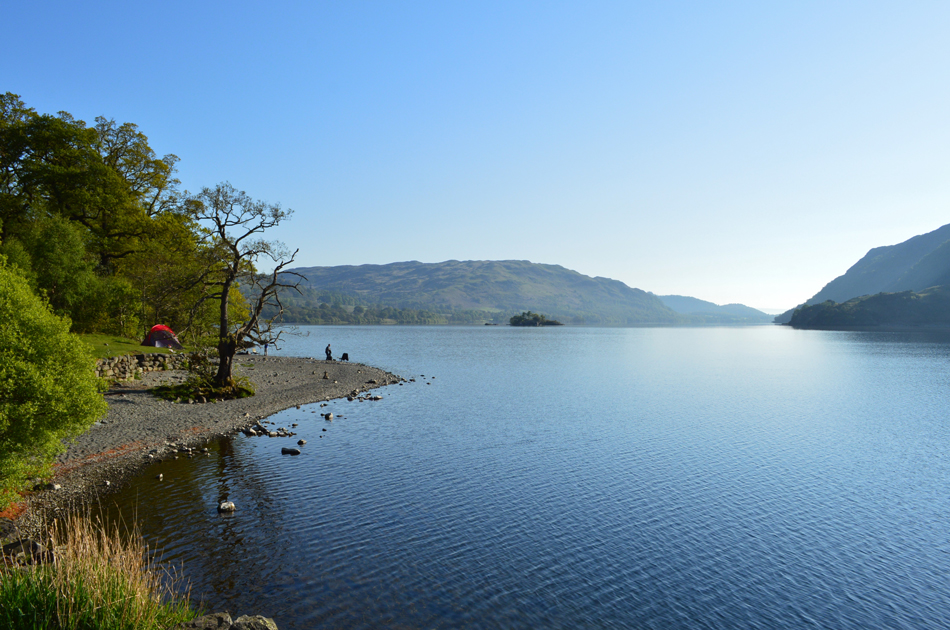 |
| Gowbarrow Fell over Ullswater from Stybarrow Crag. |
Two young lads and a girl emerge from the wooded area next to the lake and it turns out I'd parked next to their car, they leave after pleasantries are passed which then left two parking spaces for Rod and David.
Rod arrives soon followed by David and we kit up in high spirits knowing we've got a sunny day's walking ahead of us. The route is confirmed then after locking the cars we cross the road and take on the Lake path towards the bottom of Greenside Road. |
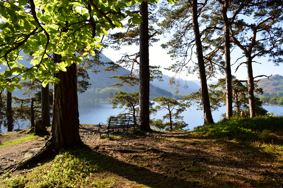 |
| Time to leave the lake path now. |
| I'd be happy to sit on that bench all morning! |
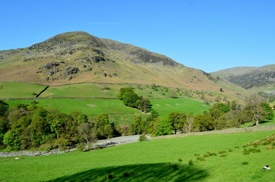 |
| Birkhouse Moor North East Ridge from Greenside Road. |
| We left the lake road behind, crossed the A592 and picked up Greenside Road. The road soon rises over the rooftops of Glenridding leaving extended views over the village towards a bustling campsite with Place Fell beyond. The Mires Beck route onto Birkhouse Moor is especially popular as is the queue at the Burger Van at the campsite below, no waft of bacon though, I suspect we're too far away. |
 |
| What a glorious morning. |
| That's Stang and Stang End up ahead, it's there we pick up the Glenridding side of Sticks Pass, we haven't set foot onto fell yet and three of us are already mopping brows, no complaints mind. |
 |
| Catstye Cam North Ridge with Helvellyn Lower Man seen over on the right. |
Greenside Road started to get busier as we approached Helvellyn Youth Hostel with cars coming and going in both directions, we took a view up Swart Beck below Stang End from where we followed the signs for Sticks Pass. The pass itself takes in the lower contours of Stand End before steadily rising alongside Greenside Mine.
David takes a temperature reading which read a whopping 22°C and it's not 9.00am yet, we're sure in for a fine day on the hill. |
 |
| The mass of Birkhouse Moor from Stang End/Sticks Pass. |
| |
 |
| Sticks Pass on Stang End. |
It's a steady, and sometimes steep slog from the Glenridding Side of the pass with views extending back along Greenside Road towards a hazy Place Fell. Haze would feature as forecasted for much of the day not really allowing for any long distant views but near views, they were almost perfect and not affected by the haze at all.
The Stang End section of Sticks Pass is almost complete as it bends left up ahead before rising towards the spoil heaps below Green Side. |
 |
| Birkhouse Moor from the spoil heaps above Greenside Mine. |
Sticks Pass now passes through the spoils above Greenside Mine by keeping to the right (left in the photograph) before crossing Swart Gill at a temporary footbridge (the old one must have been washed away during the Winter floods of December 2015) which had a signpost next to it stating only one person must cross at a time (must have known we were coming!) it was a substantial bridge made from a wood deck and scaffolding with all the material for the new bridge nearby.
Here we look back on the spoil heaps which when viewed from above appear as a fan shape, I'm not sure why maybe it's for drainage or even flood defence. |
 |
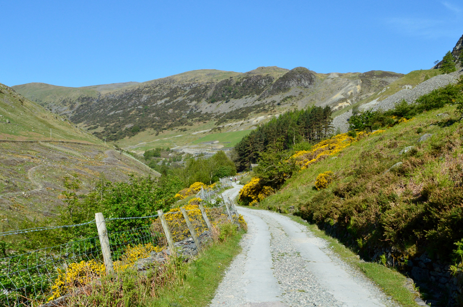
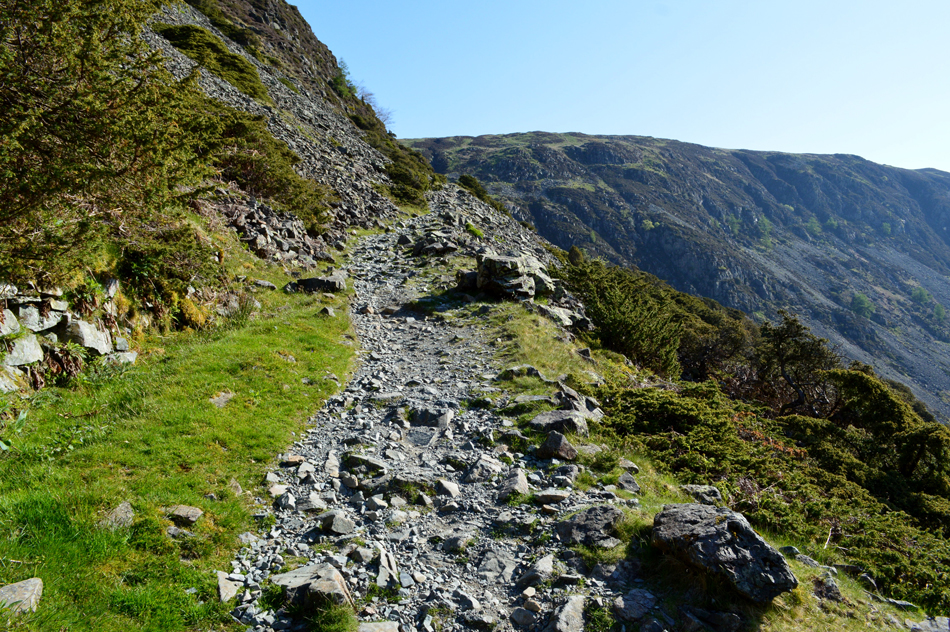
| Continuing along Sticks Pass. |
| As the morning gets warmer and the path gets a little steeper. |
 |
| Views towards the North Western fells from the Top of Sticks Pass. |
Between the three us we started to look through the haze and name the fells mainly a host of north western and western tops from Grisedale Pike and Wandope through to Gable and Kirk Fell, but one particular ridge stumped the three of us until it was recognised as Robinson's north east ridge, guess who recognised it?
Here's a clue, it wasn't me and it wasn't Rod. |
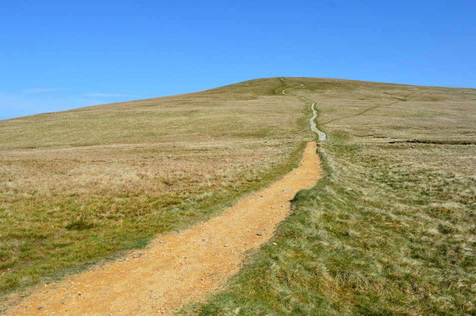 |
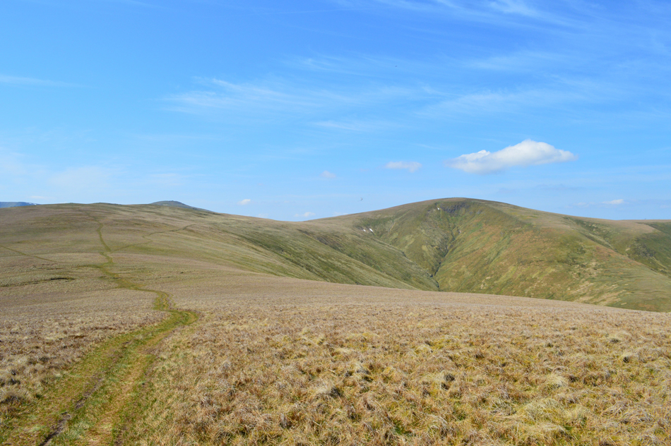
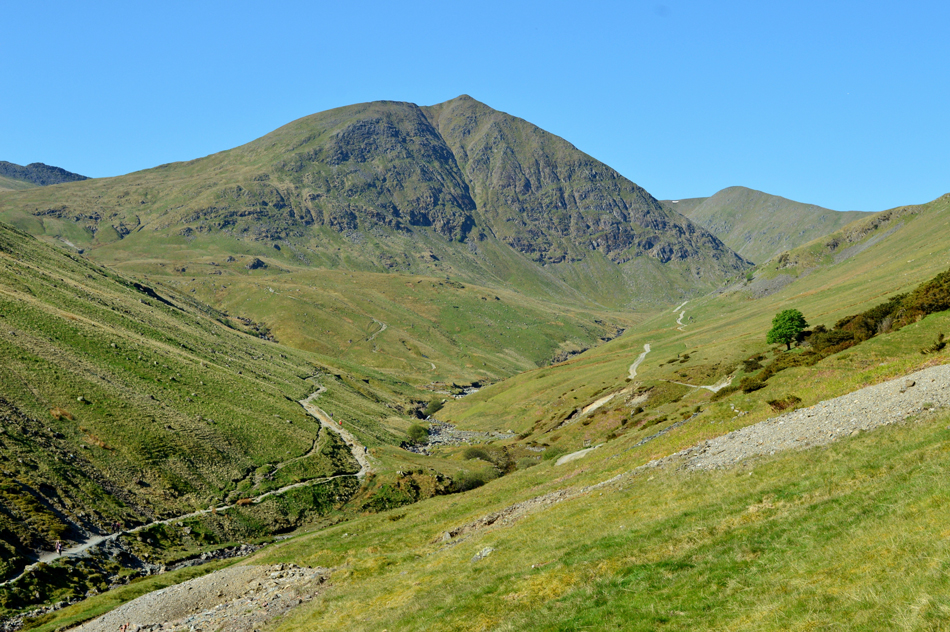
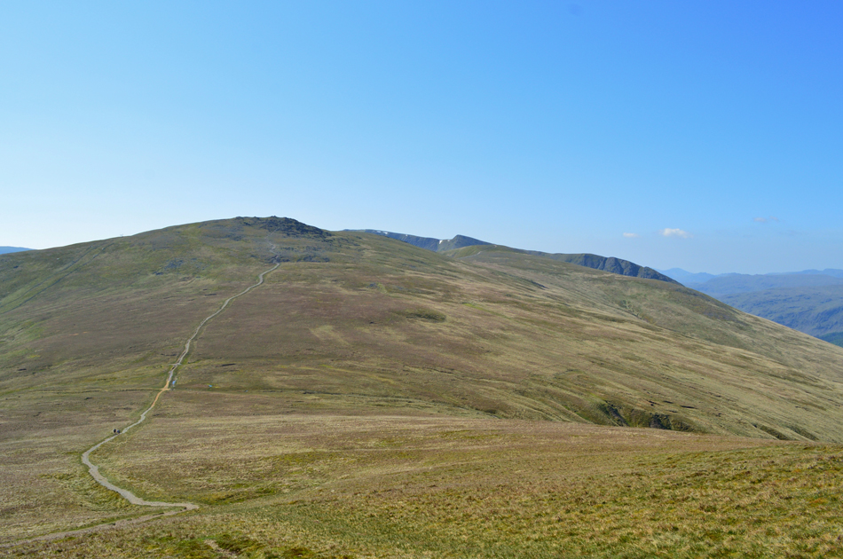
| Stybarrow Dodd from the top of Sticks Pass. |
| Would you believe this is the last ascent in todays walk, that's the good news, the best news is we also have a cool summit wind to ascend by. |
 |
| The view back over Sticks Pass. |
| Towards Raise, Helvellyn Lower Man and Helvellyn. |
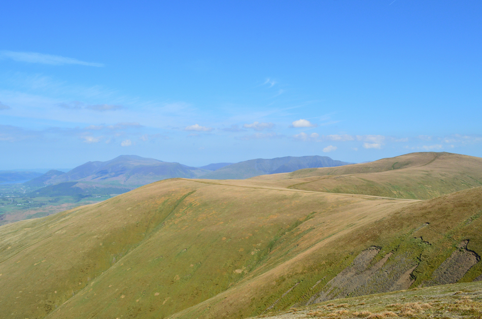 |
| In the distance a hazy Skiddaw Group with Blencathra over on the right. |
| In the foreground meanwhile is Watson's Dodd and Great Dodd. The last time both Rod and I were here we witnessed a snow boarder being towed along by a glider and you couldn't get a seat at the Ski Lift on Raise, speaking of snow there's still a few patches in Brown Cove and on Helvellyn's east wall which just goes to show, despite the warm valley temperatures it's still pretty cool over the summits. |
 |
| Long distant views over Thirlmere, Raven Crag, Armboth Fell, the High Tove Ridge, the North Western, Central and Western fells. |
| Had we not have been on this walk today happen we would have collected a few Birkett's over the High Tove ridge, a ridge that's generally damp underfoot all year round but after a dry spell it becomes much more manageable. |
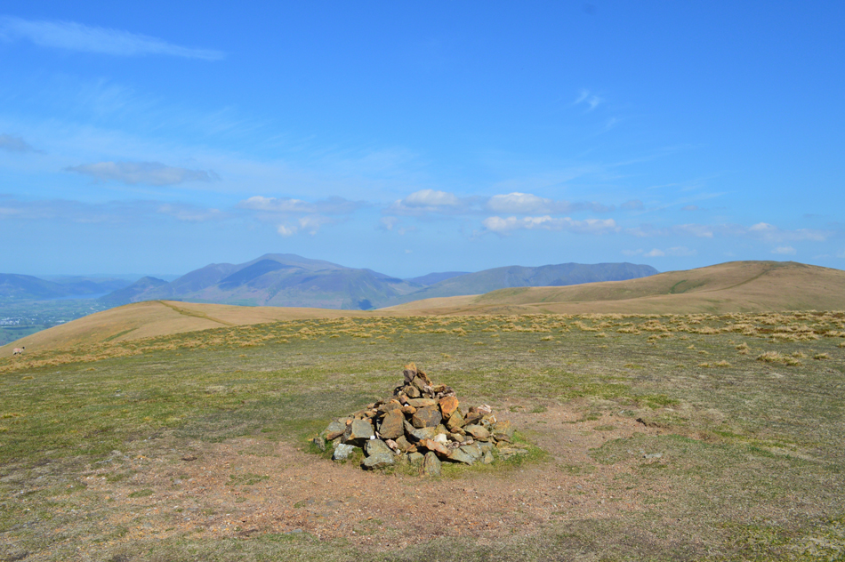 |
| Stybarrow Dodd summit cairn. |
| With the best of todays ascent behind us Stybarrow Crag summit was soon reached, despite having passed a gent during our ascent and one walker heading towards Watson's Dodd we pretty much had the whole area to ourselves which felt odd for a beautiful sunny Saturday morning. |
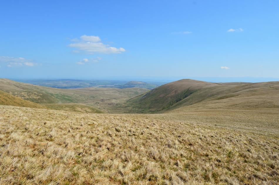 |
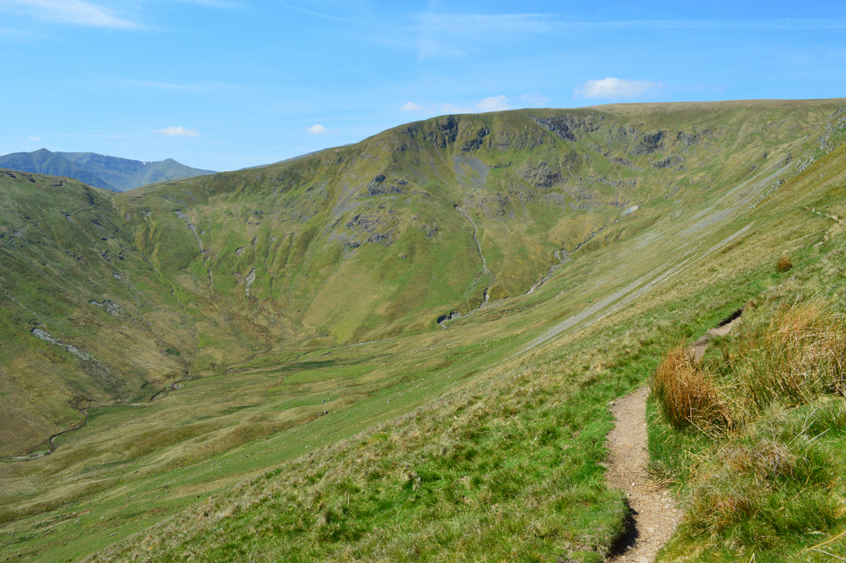
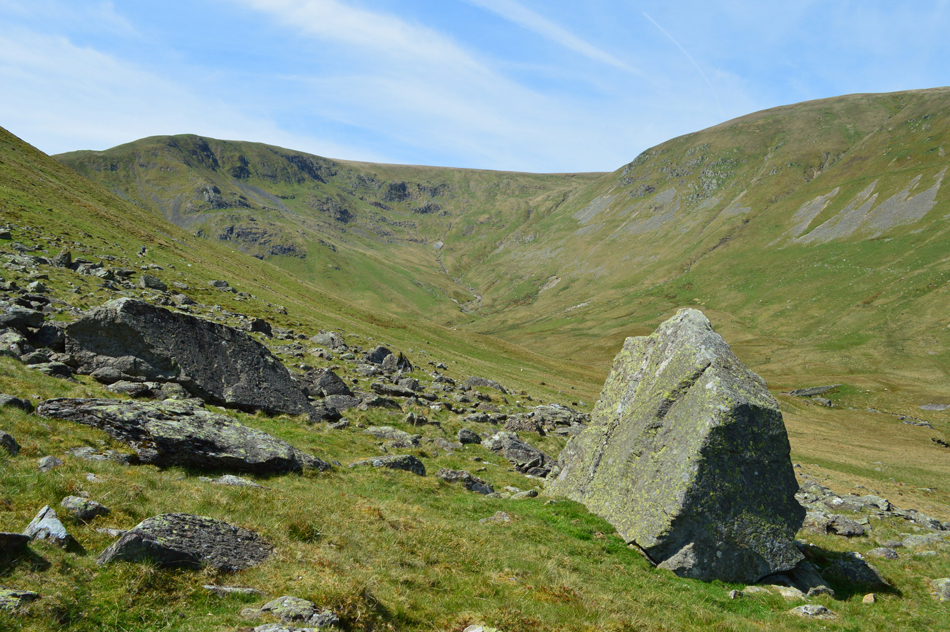
| Descending Stybarrow Dodd East ridge on route to Hart Side. |
| The valley below is the wonderfully secluded Deepdale which is predominantly accessed from High Row, David was here just a few weeks back in which he ascended Great Dodd via Randerside, skipped over to Stybarrow and descended back into Deepdale "it was pretty wet down there" David explained. |
 |
| Here looking back towards Stybarrow Dodd. |
| With a patch of snow seen just below the col. |
 |
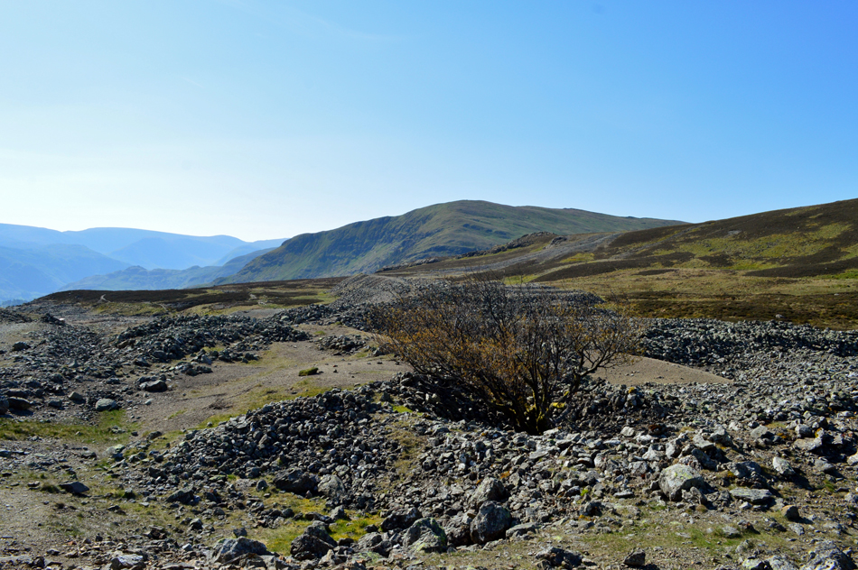
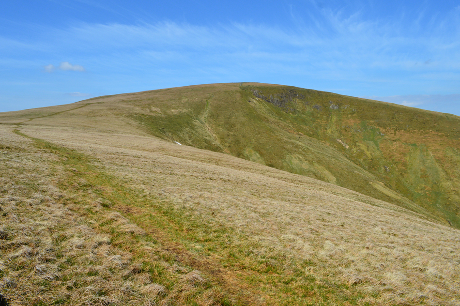
| Hart Side. |
| Shortly after taking this photograph we were passed by a woman "not many about today" she smiled, that'll do for us - although give it another hour or so it'll start to pick up with groups already seen leaving Great Dodd for Watson's Dodd back in t'other direction |
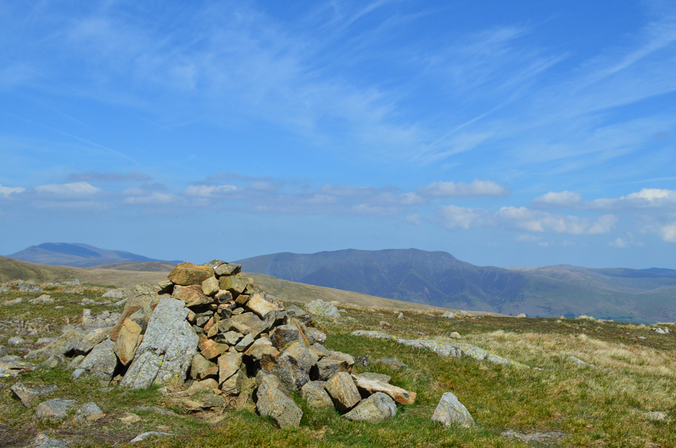 |
| Skiddaw and Blencathra from Hart Side summit. |
With ease we soon reached Hart Side summit passing the familiar groove along the way. For me Blencathra looked particularily inspiring and I can see me arranging a walk over that way in the next few weeks.
From Hart Side summit we continued to track east towards Birkett Fell from where we'll descend in a south easterly direction until the Glencoyne Traverse is reached. |
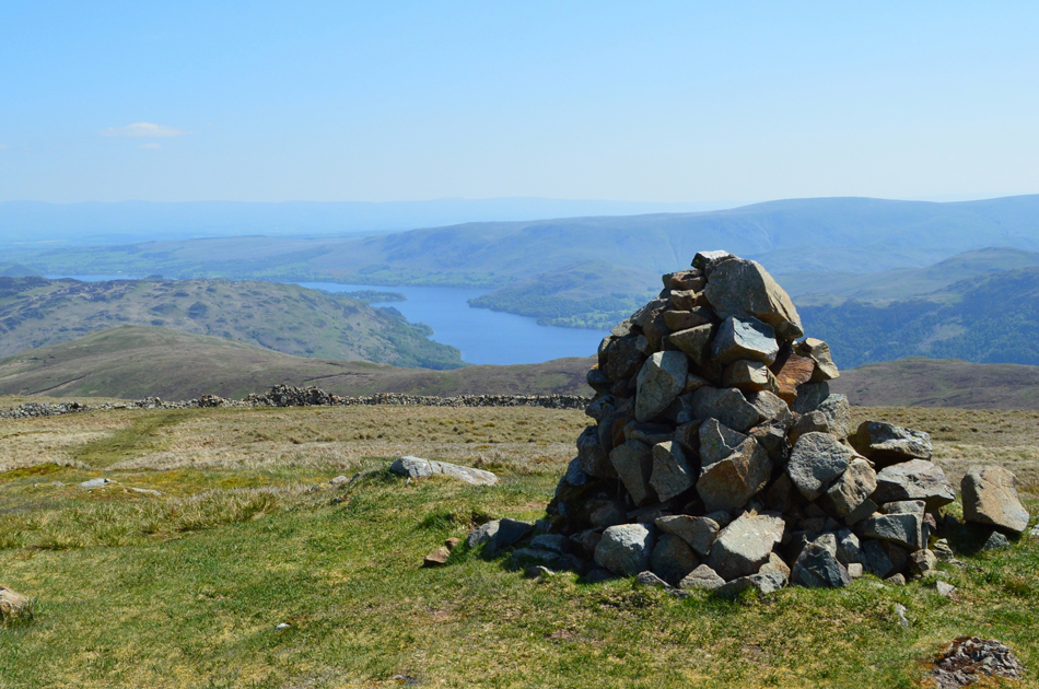 |
| Ullswater from Birkett Fell memorial cairn. |
| |
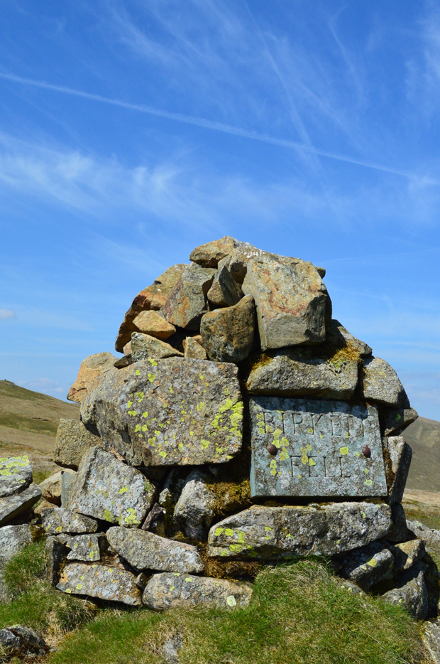 |
| Birkett Fell summit memorial cairn. |
| It was Lord Birkett of Ulverston who during the 1960's successfully resisted proposals to make Ullswater into a reservoir. |
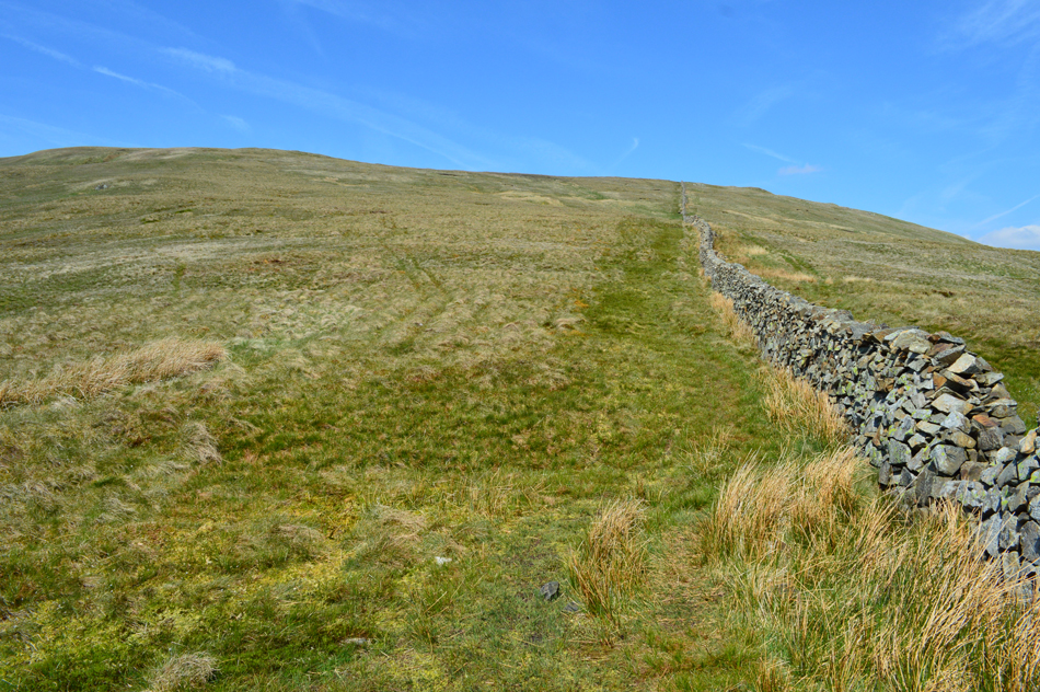 |
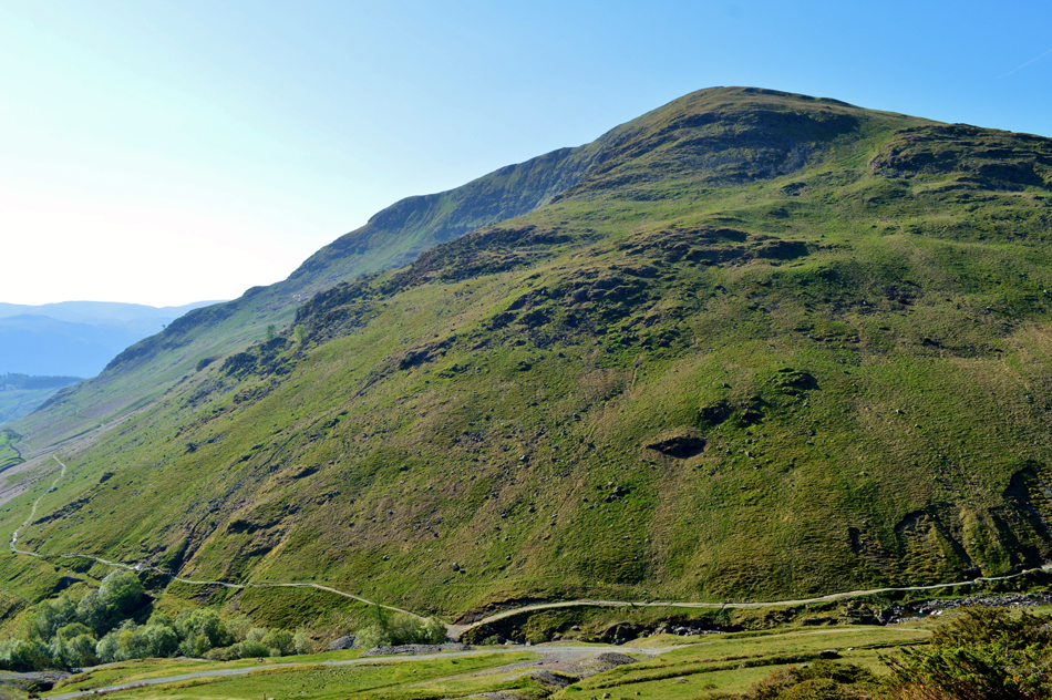
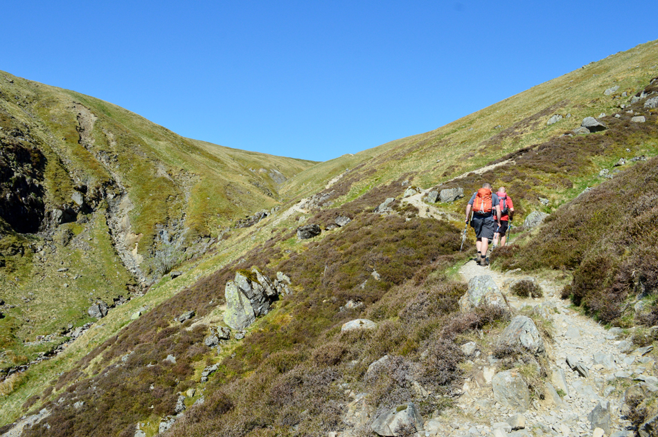
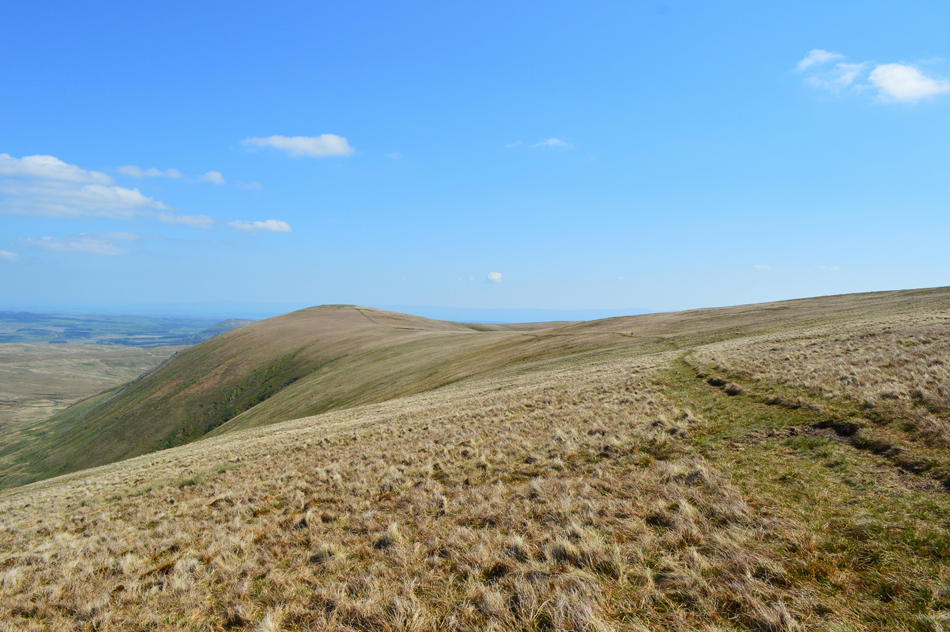
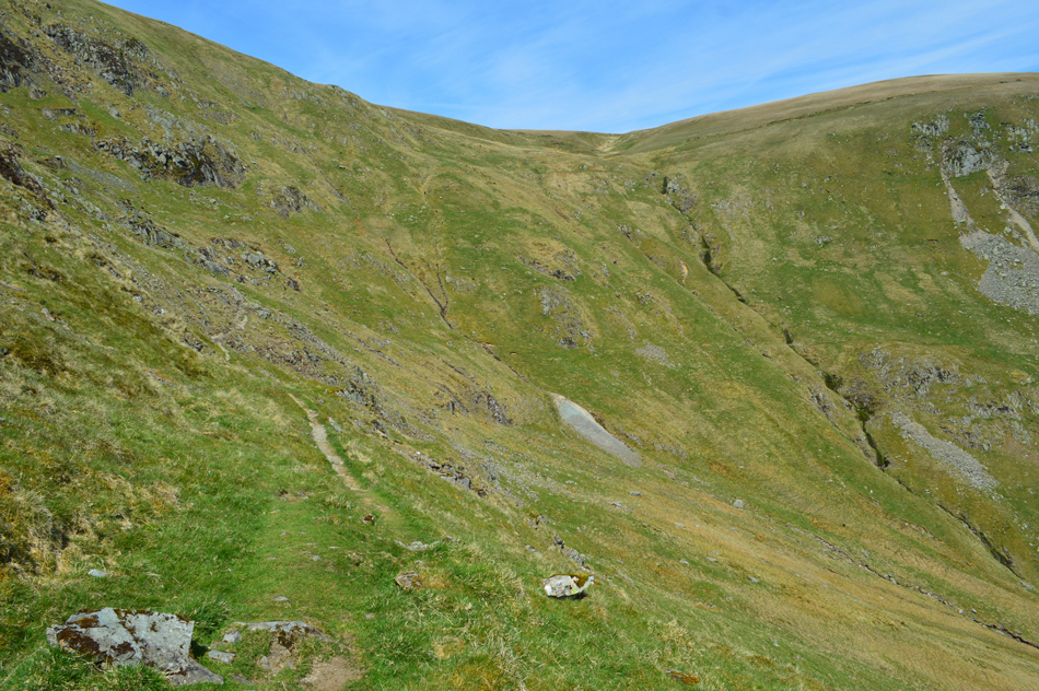
| The view back up Birkett Fell. |
| It's just a case of following the stone wall until a wooden gate comes into view, from where, head right until the traverse path is reached shortly afterwards. |
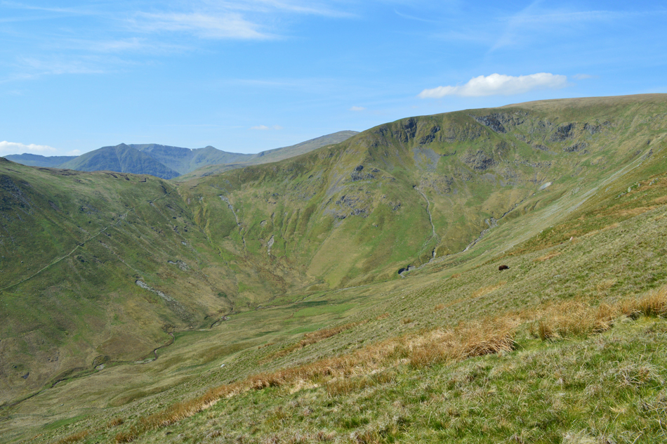 |
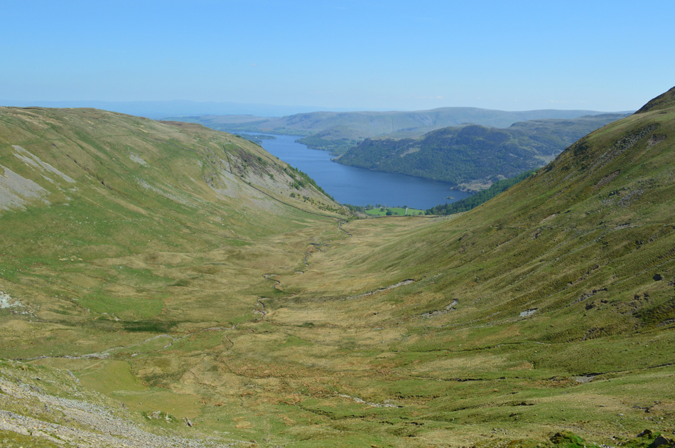
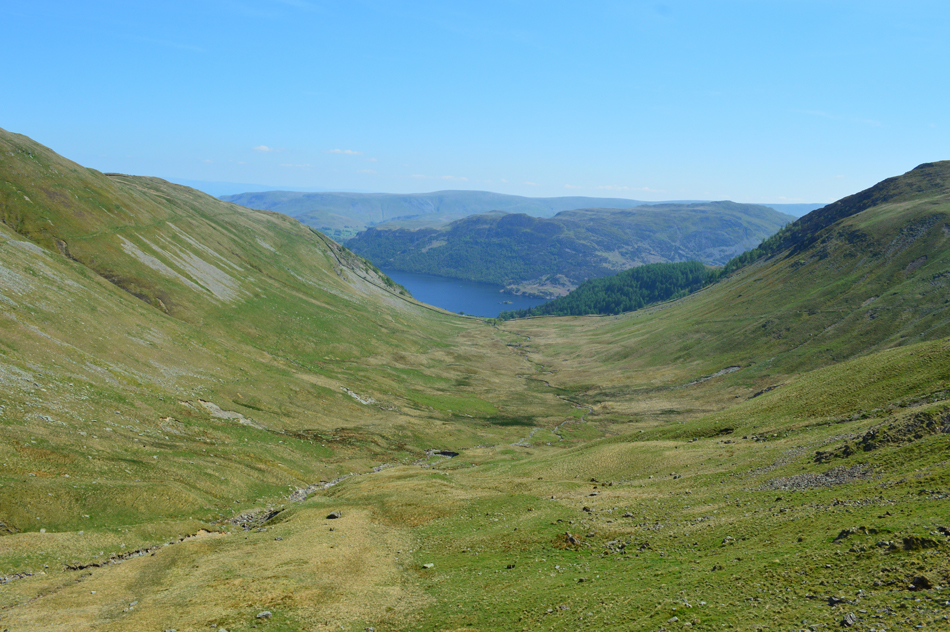
| Glencoyne. |
We're almost on top of the traverse path now, it keeps an altitude of around 500ft above the valley floor ascending to 600ft at Glencoyne Head seen in the centre of the photograph.
It's almost lunch time now somewhere along the traverse we'll be seeking out a sheltered spot away from the cool winds. |
 |
| The Glencoyne Traverse. |
| As you can see the path is narrow yet prominant, it remains that way throughout the traverse meaning single file traffic only. |
 |
| Lunch with a view. |
| That's Sheffield Pike from our sheltered lunch spot in Wintergroove Gill, we probably spent much more down time here than we normally would not helped by the soothing sound of Wintergroove Gill as it descended into the valley below, with muscles and mind in a total relaxed state we're asking for 'jelly legs' the minute we stand up! |
 |
| Glencoyne from the Glencoyne Traverse. |
As the traverse passed below Glencoyne Head the path gets a little rocky underfoot but nothing too off putting, Rod put it perfectly when he said "you just have to think a bit more on where you're putting your feet along this section"
Spot on. |
 |
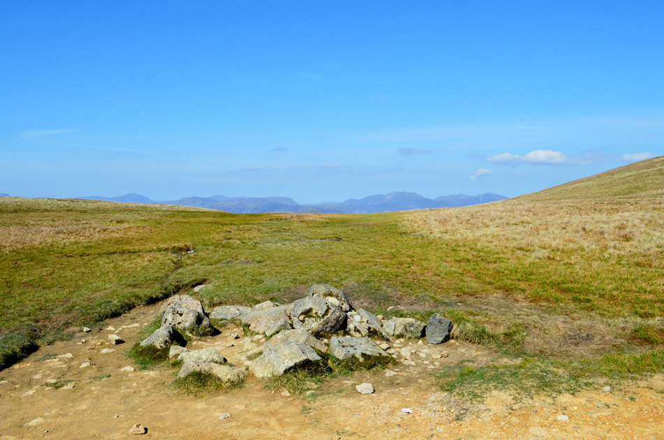
| Looking back along the Traverse from Glencoyne Head. |
| You can just about make out the path halfway up the valley with Deepdale Slack on the left and Wintergroove Gill far right. Scot Crag can be seen above the path and scree run. |
 |
| Hart Side and Deepdale Slack from the Glencoyne Traverse. |
| As we approach the highest section of the traverse the path begins to rise to its highest point, it's only a slight incline but enough to notice. |
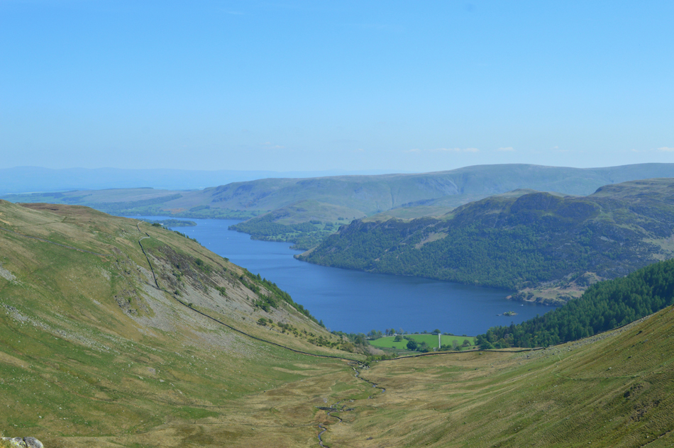 |
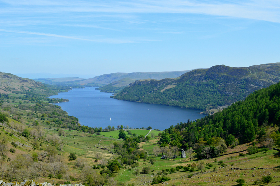
| Ullswater, Arthur's Pike, Bonscale Pike, Loadpot Hill, Wether Hill, Hallin Fell, Birk Fell and Place Fell seen over Glencoyne. |
| |
 |
| Glencoyne. |
After descending from the highest point of the traverse we 'dropped on' Nick Head and started our descent via the path on the north flank of Sheffield Pike, thus completing the whole traverse. It was here we are passed by two gents who must have seen us on the traverse during their ascent who, in a friendly manner one asked "had we taken the balcony route" he of course was referring to the what we now know as the Glencoyne Traverse
We later watched on as the two gents ascended from Nick Head before taking on the traverse. |
 |
| Fabulous views over Ullswater to descend by. |
| The path passes by Seldom Seen which is the row of cottages seen below, in times gone by the cottages where once homes to the miners and their families who mined the area, now the cottages have been turned into attractive holiday cottages. |
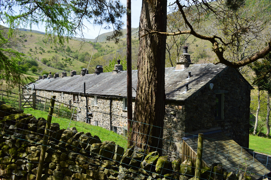 |
| Seldom Seen. |
We continued our sometimes steep descent with occupying views over Ullswater throughout. Families are passed during our descent and the realisation that our walk is almost at an end as the sound of traffic greets us. With the cooling winds confined to the summits we are back in the heat of the day and as we travel the path along the Ullswater shoreline once more we look down on families picnicking on the stone beaches while the waft of food cooking is never far from the nostrils.
We reach Stybarrow Crag but it takes a minute or so to let the traffic pass before we can cross safely, all the signs are here that Lakeland is within the cusp of Summer as I ask myself the familiar question "do I chance returning via Penrith or the Kirkstone Pass" happen I'll chance the pass and take in the view while doing so. |
|
| |
| Back to top |
 |
|