|
A Riggindale Round |
 |
 |
4th September 2018 |
 |
|
It looked like there was another bright day forecast for the fells but this was the day after completing yesterdays Mosedale Horseshoe which of course meant no recovery time, this I I could deal with given the excellent forecast and I had the perfect walk reserved for such a day.
It's been about ten months since I last climbed High Street which is unusual in that it has been known for me to ascend High Street as regular as once a month, after starting my Birkett project most of my favourite walks were put on the back burner but this wasn't to say I couldn't have included this actual route which is almost identical to Birketts 'Riggindale Horseshoe' with the exception that today I have also included a summit of The Knott.
I don't want to reveal too much or jump ahead but one of the reasons why this walk wasn't claimed as a Birkett walk was because when it comes to the time of completing my project Birketts 'Riggindale Horseshoe or 'Mardale Skyline' have been chosen to as my last Birkett walks, I just haven't decided which one yet. |
|
| Wainwright Guide Book Two |
 |
| The Far Eastern Fells |
| The ridge of Rough Crag and the rocky stairway of Long Stile together form the connoisseurs route up High Street, the only route that discloses the finer characteristics of the fell.ng is free. |
 |
|
|
|
| |
|
Overview |
|
|
| Ascent: |
2,539 Feet - 775 Metres |
| Wainwrights: |
4, High Street - The Knott - Rampsgill Head - Kidsty Pike |
| Visiting: |
Rough Crag |
| Weather: |
A Cool Bright Start, Turning Cloudy PM Remaining Mild. Highs of 20°C Lows of 9°C |
| Parking: |
Car Park, Mardale Head |
| Area: |
Far Eastern |
| Miles: |
7.3 |
| Walking With: |
On My Own |
| Ordnance Survey: |
OL5 |
| Time Taken: |
4 Hours |
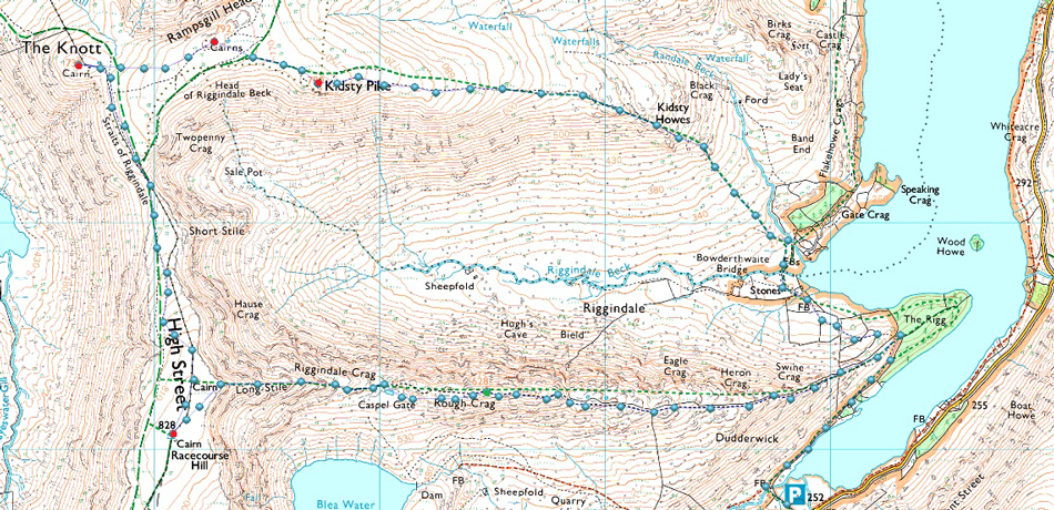
| Route: |
Mardale Head - Rough Crag - Caspel Gate - Long Stile - High Street - Straights of Riggindale - The Knott - Rampsgill Head - Kidsty Pike - Kidsty Howes - Riggindale Beck - The Rigg - Mardale Head |
|
| |
|
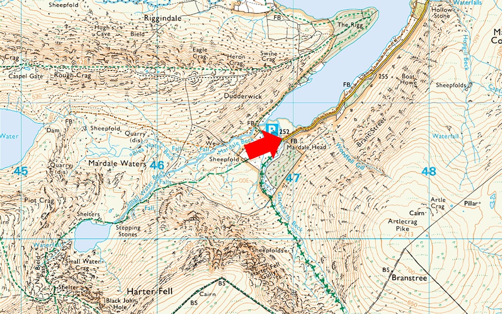
Parking Details and Map |
|
|
| Nearest Post Code: |
CA10 2RP |
| Grid Reference: |
NY 469 310 |
| Notes: |
Probably one of the most scenic car parks in Lakeland found at the head of the Mardale Valley offering easy access onto the High Street fells plus many more. The car park during Summer can fill up quickly but with most car parks in Lakeland if you time your arrival early enough you're always guaranteed a parking place. Parking is free. |
|
| |
|
Map and Photo Gallery |
|
|
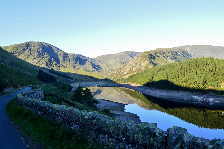 |
| Mardale Head taken close to Rowntreethwaite Beck 08:50am 9°C |
| It wouldn't be a walk in Mardale if I didn't stop at one of my favourite places to take a few pictures, here looking towards Harter Fell, the top of Nan Bield Pass, the Rough Crag Ridge and High Street. |
 |
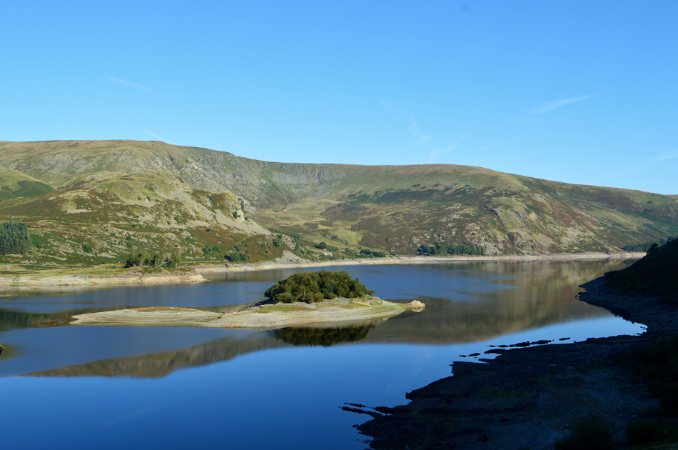
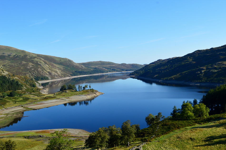
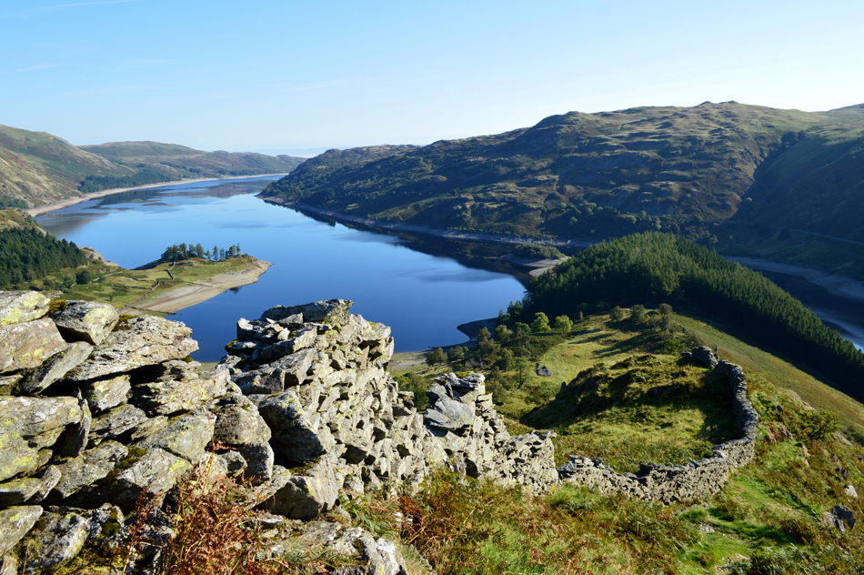
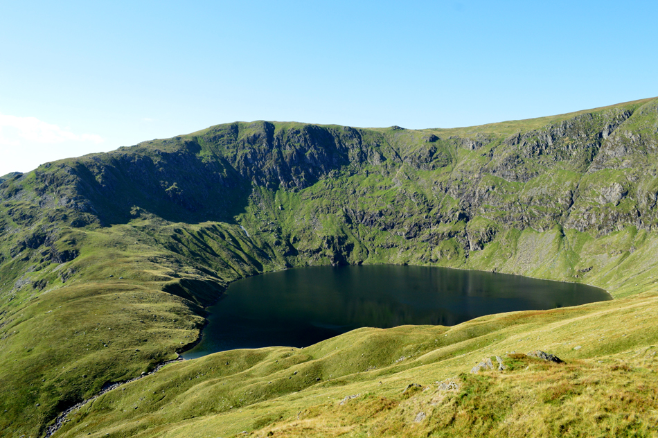
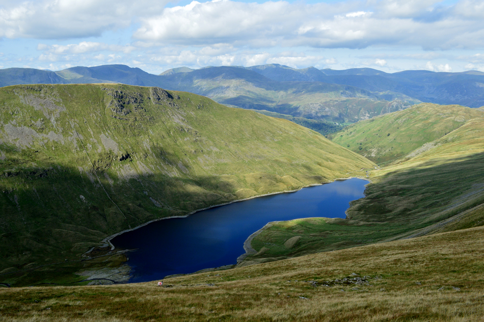
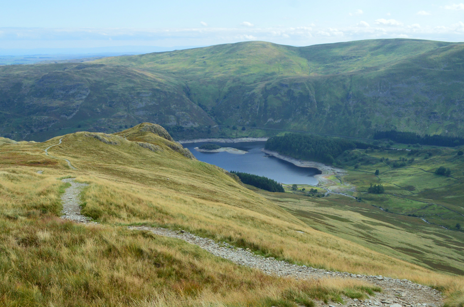
| The view into Riggindale over Haweswater and The Rigg. |
| Despite the heatwave being well and truly over the water level is still very much at the same level as my last visit back in July, I suspect much more rain is needed before we see a significant change. |
 |
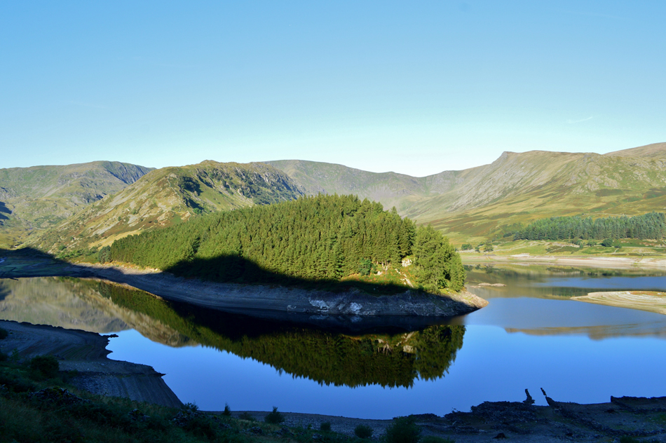
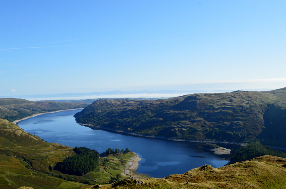
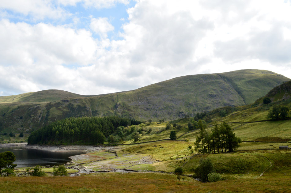
| Views into Whelter Bottom seen here over Wood Howe Island. |
| As mentioned in my last report whilst back here in July the land to the left of Wood Howe island is normally below the waterline, today I can see that grass is still growing on top which if the water level doesn't rise will require a cut soon! |
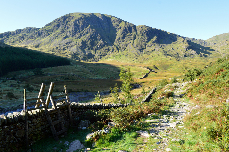 |
| Looking back on Harter Fell (Mardale) while on route to The Rigg. |
I left home a little later if only help with recovery after yesterdays walk which saw me arrive at Mardale Head around 09:00am. Because this is early week there was no effort parking and I was able to choose where I left my car. Only three other cars had parked up who's occupants had left for the morning, it's feeling particulary fresh in the shade so I add an extra layer although I suspect once on the other side of the valley it'll soon start to warm up.
Just before I locked the car another car pulls up on the other side of the car park and I nod a 'morning' as I walk towards the new Deer fence from where I make a left before crossing Mardale Beck further down the path, by now the woman from the car has taken a short cut across the dried out bed of the reservoir and is now heading towards the wooden style seen in this photograph. |
 |
| Beautiful views into the Riggindale Valley as I pass The Rigg. |
| That's Long Stile (High Street) over on the left with Short Stile and Two Penny Crag over on the right. The unmistakable summit of Kidsty Pike can be seen further right over the Riggindale valley. |
 |
| A long distance view over Haweswater towards Bampton Fell and Four Stone Hill. |
| That nobble of rock seen right is Kit Crag where I suspect I'll be sometime later in the year as part of Birkett's Naddle Horseshoe. |
 |
| Fantastic views from Swine Crag as I look back on The Rigg and Haweswater. |
| Phew, it sure is warming up now, time to remove that extra layer I put on back at Mardale Head. |
 |
| Haweswater with the Naddle Fells on the other side of the Reservoir. |
| Note the low cloud over the Eden Valley in the distance with the faint silhouette of the north Pennines beyond. |
 |
| A close up of the top of Nan Bield Pass with Small Water below. |
| |
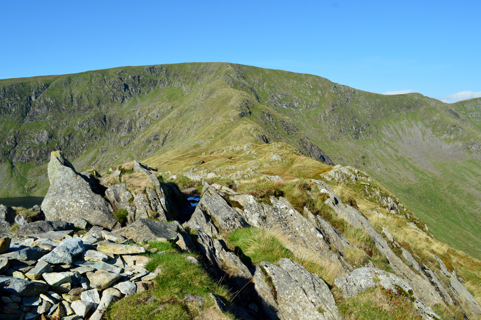 |
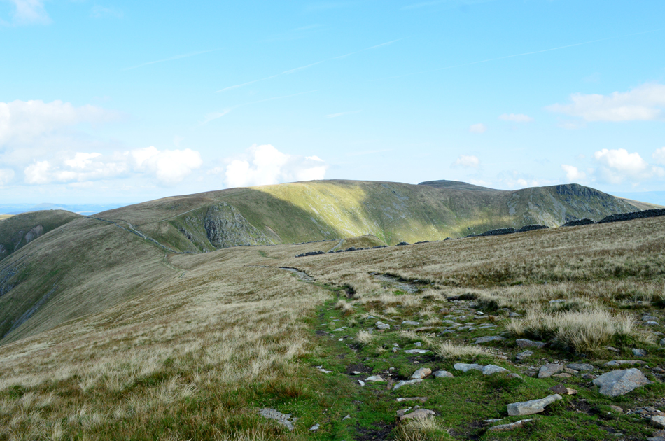
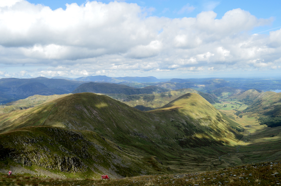
| High Street, Long Stile and Short Stile from Rough Crag summit. |
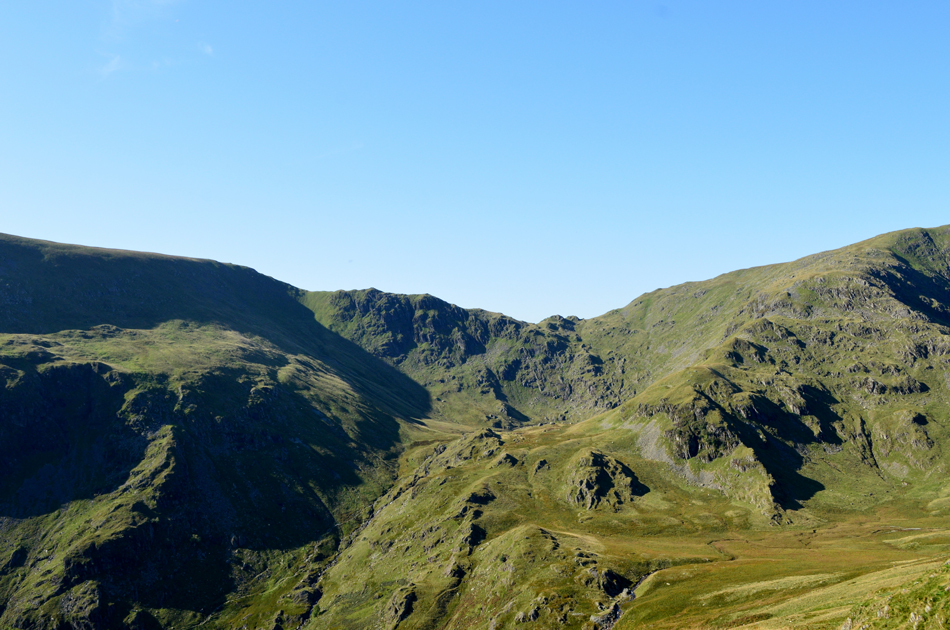
| Having gained the ridge at Swine Crag, Heron Crag and Eagle Crag where as always, a pleasure to take in before views of Rough Crag ahead started to appear. By now it's really starting to feel warm but with more height gained there's also a hint of a cool wind which every now and again catches me out. |
 |
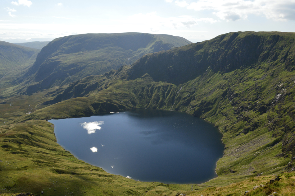
| Blea Water from Rough Crag |
| With Mardale III Bell centre left, Ok, time to descend Rough Crag now and head for Caspel Gate Tarn next. |
 |
| Long Stile from Caspel Gate. |
Effectively the area around the tarn is known as Caspel Gate but as far as I'm aware the tarn is nameless, although most do refer to the tarn as Caspel Gate tarn including myself.
I sure am spoiling myself with favoured tarns of mine this week what with the tarn above Black Sails Pass yesterday and now Caspel Gate, I think I'm having a favourite tarn overload! |
 |
| The view over a shimmering Blea tarn with Harter Fell (Mardale) in the distance. |
| |
 |
| Looking north over Riggindale towards Short Stile, Two Penny Crag and Kidsty Pike from the bottom of Long Stile. |
| Oh and three gleaming white sheep, not long from the summit now. |
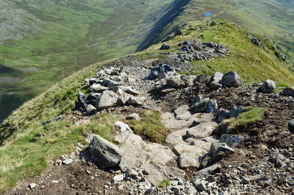 |
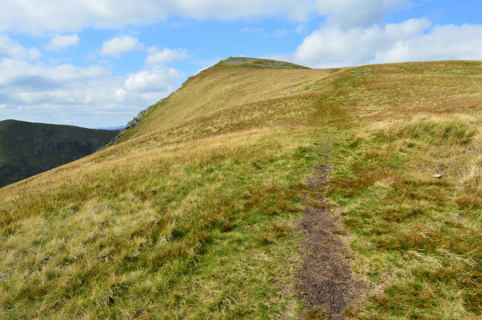
| Looking down on Long Stile at the new path being laid by Fix the Fells. |
| Such the popularity of High Street via Rough Crag the erroded stone path is being replaced with pitched boulder, I must admit the team at Fix the Fells have done a grand job so far. |
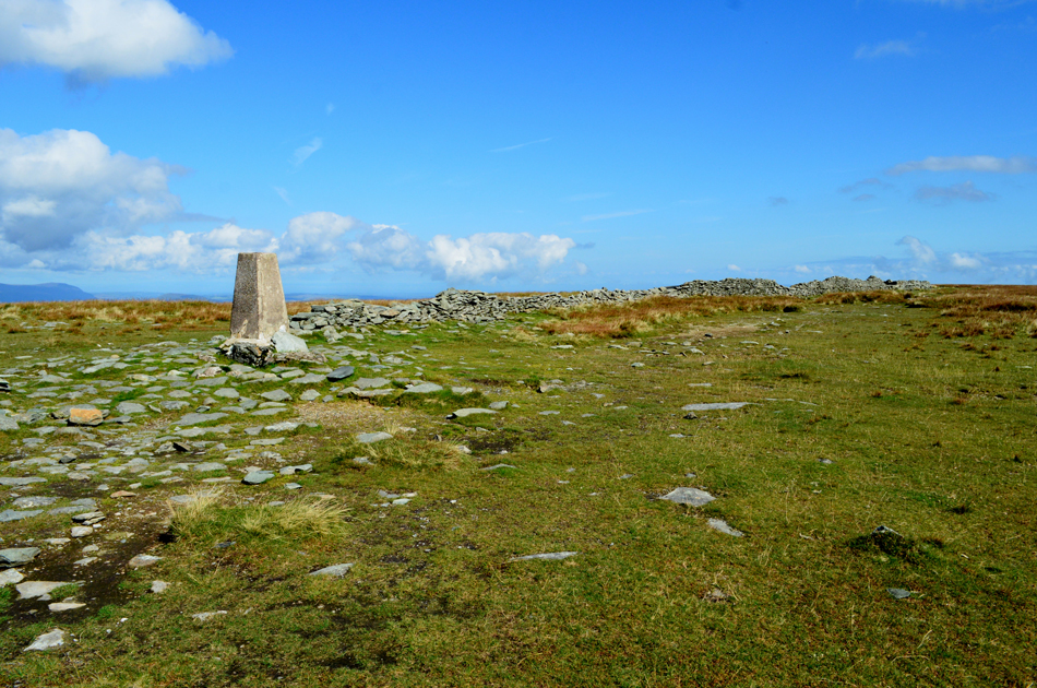 |
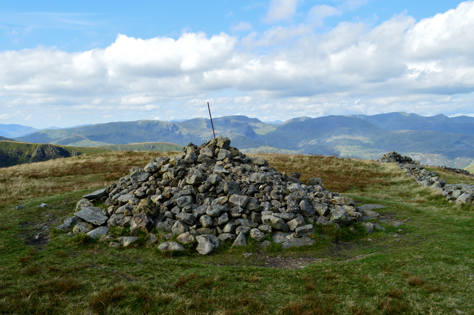
| It's been too long old friend, High Street summit. |
| What a glorious day to be on High Street, so much so I found myself a comfortable place to sit and just soaked up the silence which was disturbed around five minutes later by this glider flying over head. |
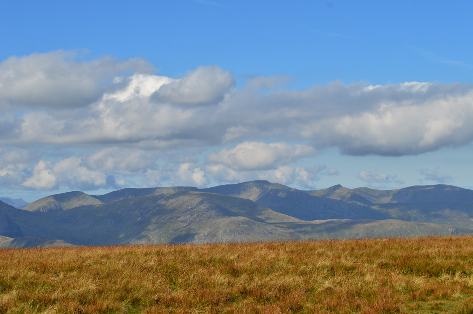 |
| The view west towards Dollywagon Pike, Nethermost Pike, Helvellyn, Catstye Cam and White Side. |
| While in the foreground Birks, Gavel Pike and St Sunday Crag. |
 |
| Time to leave my beloved High Street for the Straights of Riggindale. |
| The summit in the distance is Low Raise (Martindale) It looks like someone has turned the lightswitch off over there. |
 |
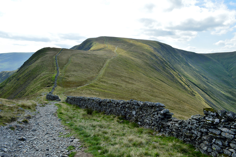
| Two Penny Crag, The Knott, Rampsgill Head, Kidsty Pike and Low Raise (Martindale) seen over the Straights of Riggindale. |
| I'm heading for The Knott seen over in the distant left followed by a summit of Rampsgill Head before making my way towards Kidsty Pike seen far right. Sorry...no summit of Low Raise today. |
 |
| Gray Crag seen above Hayeswater from the Straights of Riggindale. |
| That's Brock Crags over on the right. |
 |
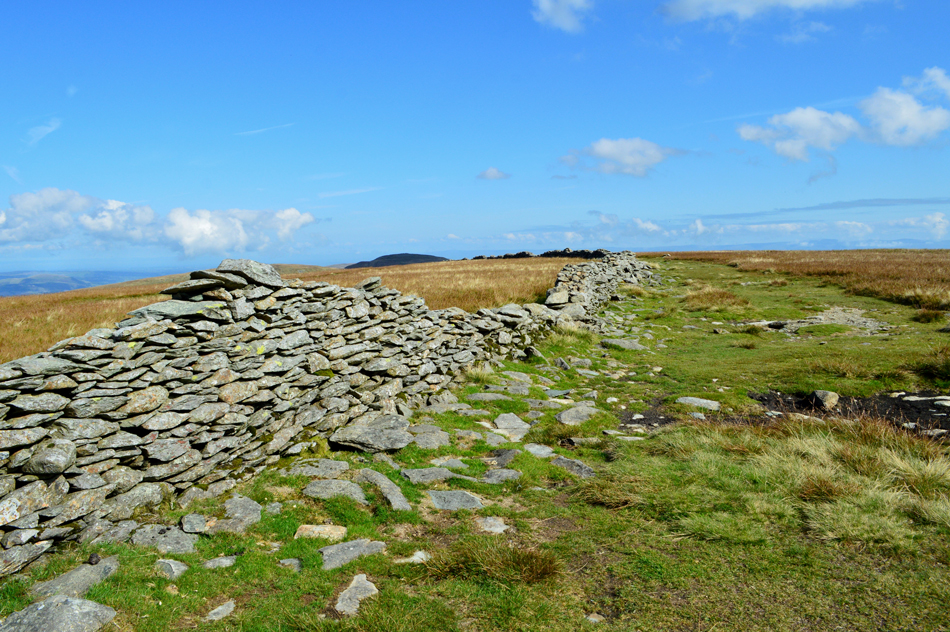
| Looking back on High Street from the Straights of Riggindale. |
| I'm not sure why but every time I descend High Street towards the Straights of Riggindale I always tell myself that today "I'll descend via the wall" which I never manage because after around twenty yards I always leave the wall and head for the path seen in the right of this photo which is odd really because both descents offer grand views over Riggindale and Hayeswater. |
 |
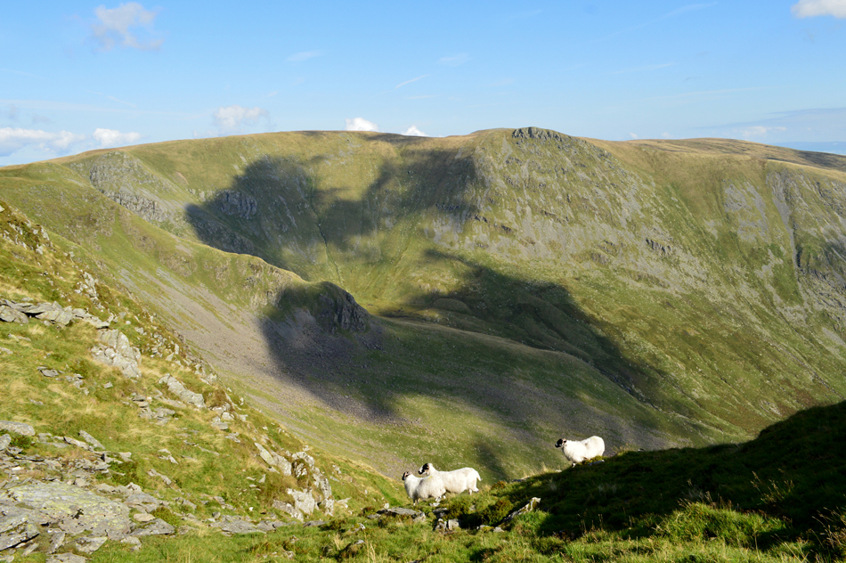
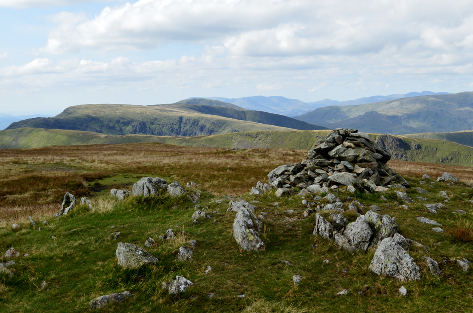
| The Fairfield, and Helvellyn fells from The Knott. |
The area below The Knott was the busiest I'd seen in a long time with walkers approaching from the direction of Hayeswater (and or) Angletarn Pikes, it appeared a couple had missed the summit who I passed just after The Straights of Riggindale who realised their mistake only to return and greet me again as I descended from the summit
The path below was busy too with walkers checking maps some of whom started an ascent on Rampsgill Head by using the path on the west shoulder, it is here I'm caught between a couple behind me and a couple ahead who as I approached stepped aside to let me pass, phew overtaking during ascent sure is hard work. |
 |
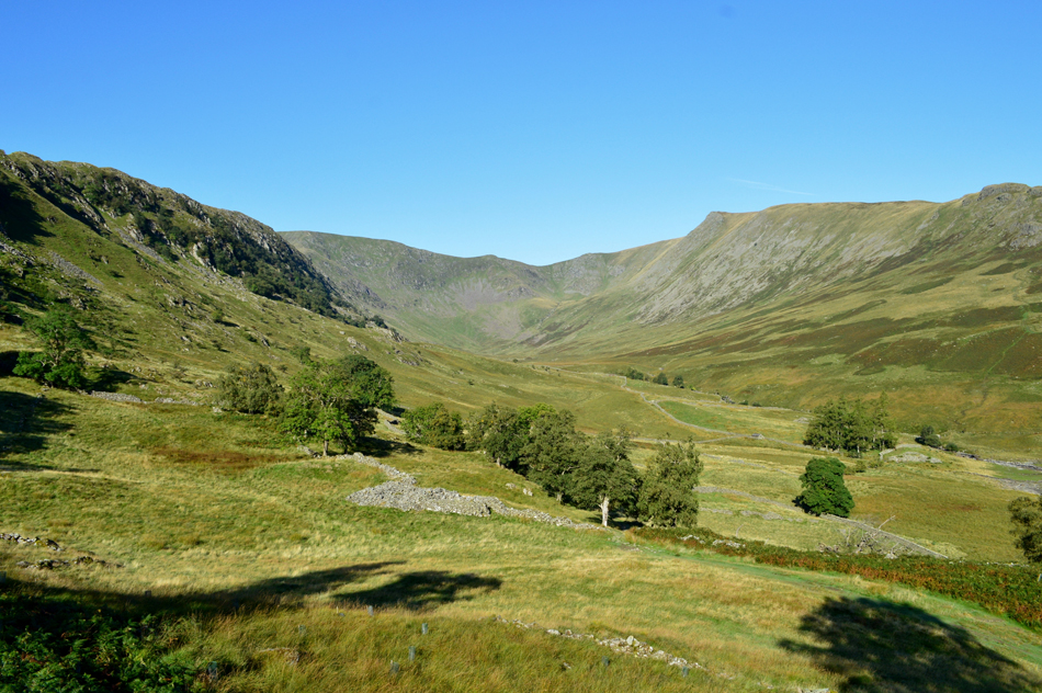
| The view over Ramps Gill towards Rest Dodd and The Nab. |
| |
 |
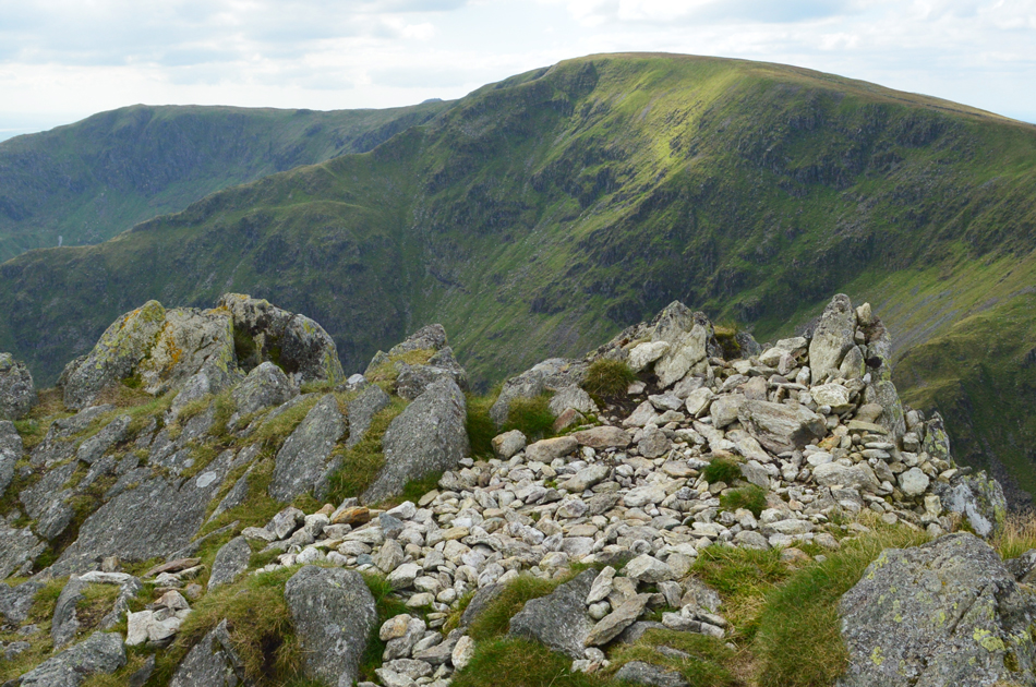
| Gray Crag and Caudale Moor from Rampsgill Head summit. |
| Aye, I think it's stating to cloud over now, that sunshine has been missing an awful long time now, Ok, time to head in a south easterly direction towards Kidsty Pike. |
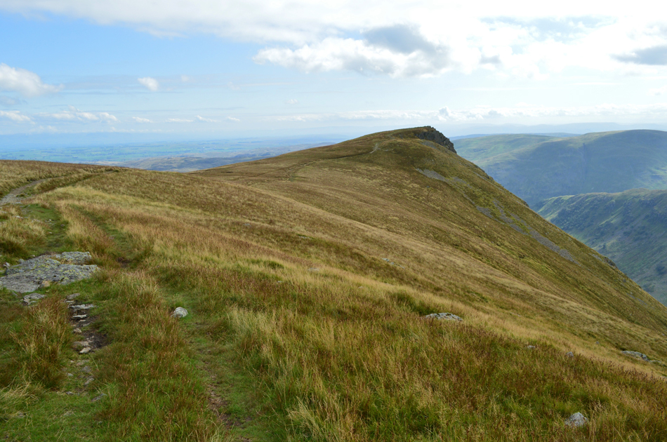 |
| Kidsty Pike is just up ahead. |
| Time taken to reach Kidsty Pike from Rampsgill Head, just ten minutes. |
 |
| High Street and Mardale III Bell from Kidsty Pike summit. |
| Lunch with a view. Despite walkers sighted in almost every direction I managed to get the summit of Kidsty Pike to myself or so thought until I saw the top of someone's head who was sat down also enjoying their lunch a little further down the summit, it turned out to be the same woman I'd seen in the car park back at Mardale Head this morning. |
 |
| Stopping to look back along the ridge towards Kidsty Pike summit. |
| During a brief break in the cloud the sun came back out again. |
 |
| Descending the ridge towards Kidsty Howes. |
| The descent from Kidsty Pike to Kidsty Howes is also delightful both underfoot and in view, here, a stone path winds its way down towards Kidsty Howes before coming to an end between the craggy outcrops ahead where after a few scrambles over rocky ground a steep grassy path descends through bracken before crossing Riggindale Beck at Bowderthwaite Bridge. |
 |
| Here Selside Pike and Branstree can be seen over The Rigg from the descent of Kidsty Howes. |
| |
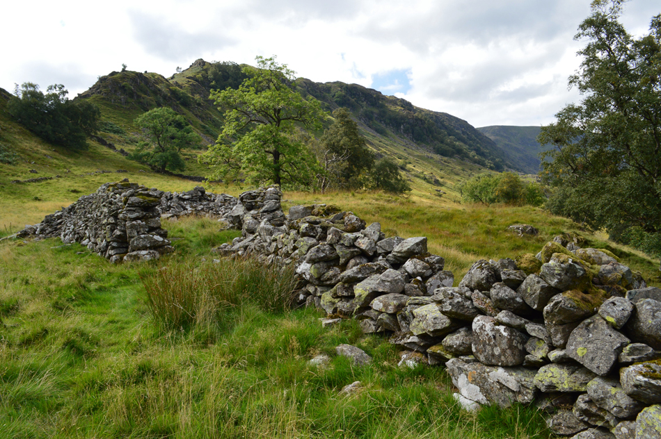 |
| Swine Crag, Heron Crag, Eagle Crag and the Rough Crag Ridge from the ruined sheep pen, Riggindale. |
The woman who I had seen back at the summit was now making her descent albeit at some distance behind me. An elderly chap dressed in smart walking trousers and shirt is passed at Kidsty Howes and soon after, a Welsh couple also in ascent. With the descent of Kidsty Howes behind me I take in the steep grassy path before crossing Bowderthwaite Bridge soon passing the delightful standing stones which are thought to date back to before the valley was flooded. The afternoon air is warming less that cooling wind which I'd left behind along the Kidsty Howes ridge.
From The Rigg I descend back to Mardale Head passing a couple close to the bridge over Haweswater Beck who had two gorgeous Red Setter Dogs with them who I make a fuss of in passing, "been far" asked one of the owners and with a smile I replied "aye, the Riggindale Horseshoe" |
|
| |
| Back to top |
 |
|