|
Walking the Birketts, Cirque of Black Combe |
 |
 |
25th November 2018 |
 |
|
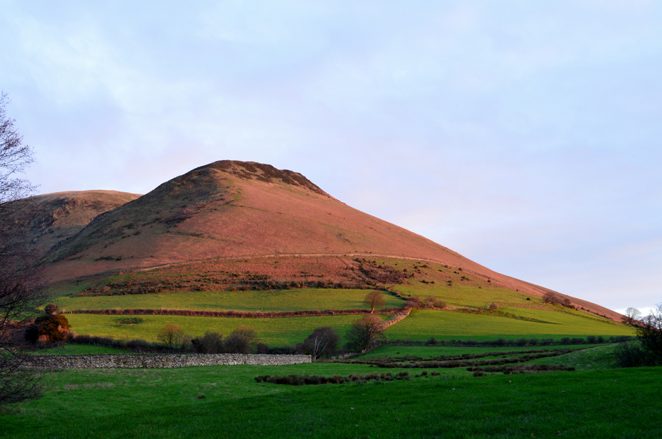
We all have those fells which we feel we don't climb often enough and for me Black Combe is that fell. It's fair to say that Black Combe will always be one of Lakelands frontiers owing to its far western position perched within a mile of the beach at Silecroft and for me its proximity to the coast is one of Black Combe's star attractions not forgetting its smooth grassy slopes and long distant views which stretch out over Morecambe Bay to the south, St Bees Head to the north and the Birker, and Coniston fells to the east.
I hadn't really been paying that much attention to where I was walking this weekend probably because I was working on Saturday which can knock the stuffing out of any weekend even so towards the end of the week a solitary walk over Black Combe was never far from mind and with two Birkett walks to choose I settled for 'Cirque of Black Combe' mainly because it takes in the splendid ridge between White Combe and Stoupdale Head before going on to summit Black Combe then finally bringing the walk to an end with a descent via Black Combe's east ridge which oversees Blackcombe Screes, what more could I ask for, I even got lucky with the forecast. |
|
| The Complete Lakeland Fells |
 |
| By Bill Birkett |
-Ascent on White Hall Knott What ancient traffic was heavy to warrant construction of this now forgotton highway? |
|
|
|
| |
|
Overview |
|
|
| Ascent: |
1,970 Feet - 600 Metres |
| Birketts: |
5, White Hall Knott - White Combe - Stoupdale Head - Black Combe - Black Combe South Top |
| Weather: |
A Bright Day With Some Light Cloud. Freezing Wind Over The Summits Highs of 7°C Lows of 5°C |
| Parking: |
Roadside Parking, Beckside, Whicham Valley |
| Area - Group: |
S/BLC |
| Miles: |
5.5 |
| Walking With: |
On My Own |
| Ordnance Survey: |
OL6 |
| Time Taken: |
3 Hours |
| Route: |
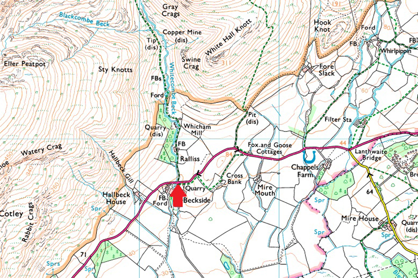
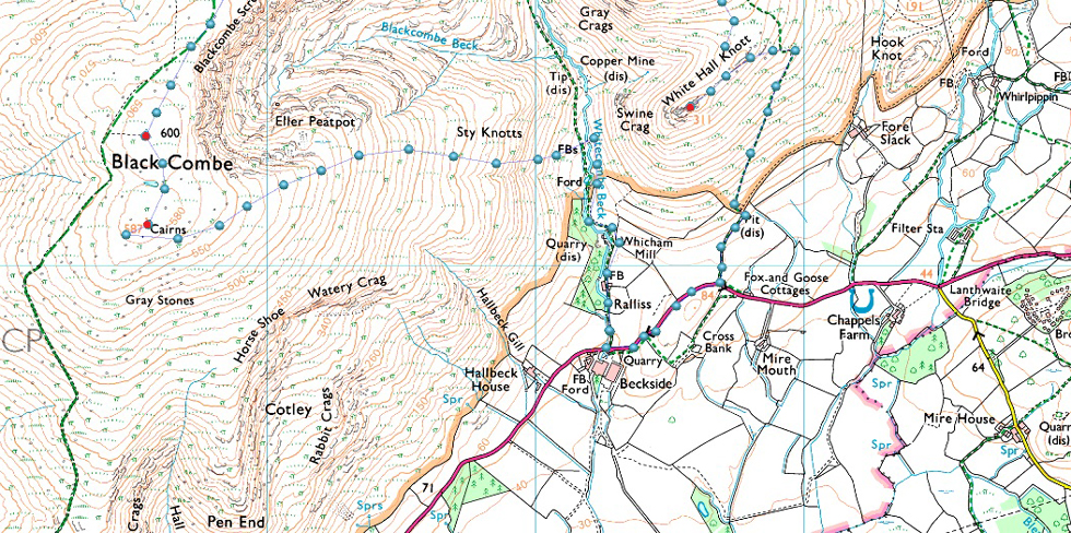
Beckside - White Hall Knott - White Combe - Stoupdale Head - Whitecombe Screes - Blackcombe Screes - Hentoe Hill - Black Combe - Black Combe South Top - Sty Knotts - Whitecombe Beck - Beckside |
|
| |
|
Roadside Parking, Beckside, Whicham Valley |
|
|
| Nearest Post Code: |
LA19 5UW |
| Grid Reference: |
SD 153 847 |
| Notes: |
The parking spaces can be found on the left if travelling towards Whicham at Birkside Farm opposite the entrance to the old Whicham Mill (now Swallowbarn Holiday Cottages) There is room for upto six well parked cars. Parking is free. |
|
| |
|
Map and Photo Gallery |
|
|
  |
| |
| |
 |
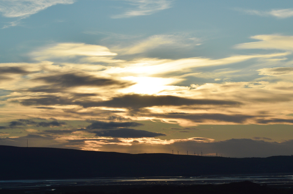
| White Hall Knott and White Combe from Birkside 08.30am 5°C |
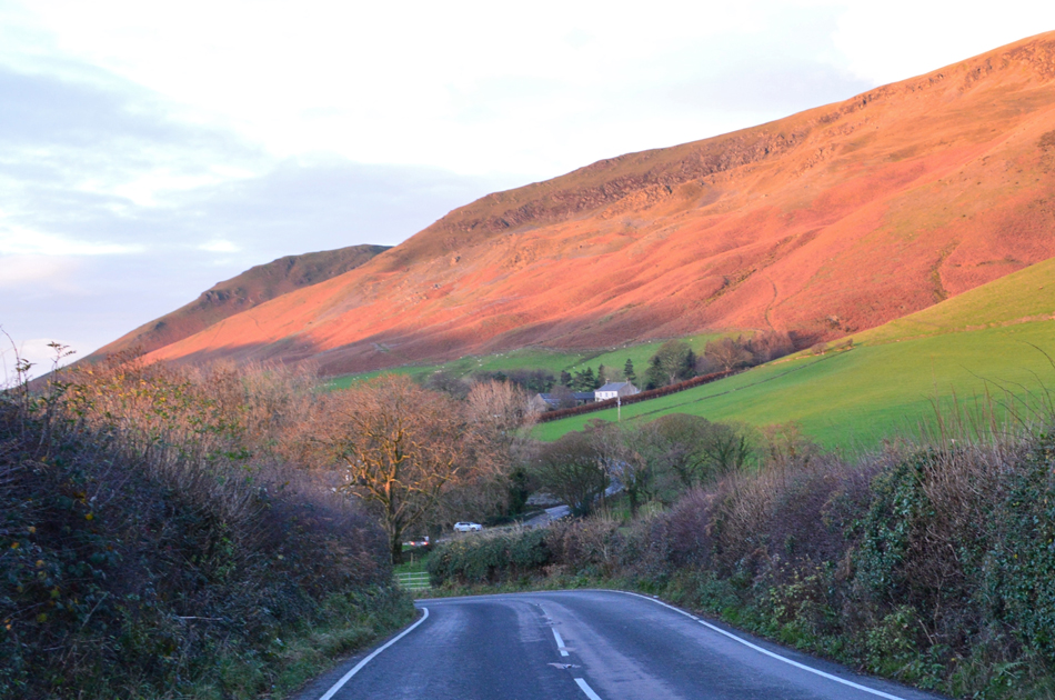
I timed myself to arrive at Birkside at around 08:30am and arrived ten minutes early reversing my car with ease up against the stone wall belonging to Birkside Farm, the farmyard was busy with machinery moving about yet despite this the valley remained peaceful. Only minutes earlier I had driven past the public footpath signpost which would eventually lead me onto the slopes of White Hall Knott which lifted spirits slightly knowing I wouldn't be hunting high and low for the footpath especially as it can only be gained from the twisting lanes of the A595.
The morning air feels mild and there's certainly no need to add hat or gloves just yet, It hadn't rained in days but even so I add gaiters as I feel they are part and parcel of my Autumn/Winter kit. With my car locked I turn right and start walking back up the hill while keeping my ears to the ground for the sound of approaching traffic, I just needed to get back to that signpost as quickly as possible. |
 |
| Looking back on Birkside as first light illuminates the bracken covered slopes of Black Combe. |
Thankfully it's still early and traffic is minimall but due to the twist and turns of the A595 as it passes through Beckside I almost wish I'd thrown on the high viz vest I keep in the boot of my car just so I stuck out like a sore thumb to any oncoming drivers, thankfully only four cars pass me all of whom were courteous enough to give me a wide berth as soon as they saw me, even the skip lorry.
Just in case you was wondering yes there is an alternative path which straddles the A595 on the other side of the hedge seen on the loeft which then loops around an area named Cross Bank before arriving at Fox and Goose cottages from where the public footpath is within eyeshot but today I'm following Birketts original route who does mention "follow the A595 back up the hill" therefore I will try to stick to the original route as best as I can.
He didn't mention anything about dodging skip lorries though... |
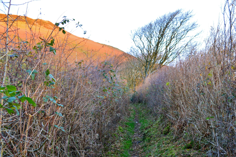 |
| The narrow hedge lined track which leads towards the lower slopes of White Hall Knott. |
| i climbed the A595 and continued along it for around 500 yards before arriving at the track which Birkett described as being "so overhung by hedges it resembled a tunnel" meanwhile Alfred Wainwright refers to this track as a "safari through virgin jungle" neither of them were wrong! |
 |
| Coastal views from the ascent of White Hall Knott. |
The hedgerow thinned into a progressive tree line from where I could sneak views of the sunrise from. At the end of the track I arrived at a wooden gate and passed through it, here I was presented with two paths, one of which hooked right and followed the stone wall seen below or a second path which ascends steeply while passing below the summit of White Hall Knott which loomed overhead.
The path seen here is the nature of the ascent all the way to the summit shoulder, sometimes steep but mostly steady, bloody fantastic. |
 |
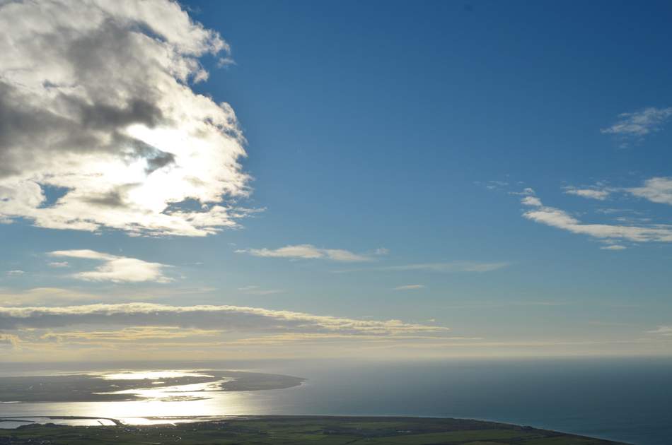
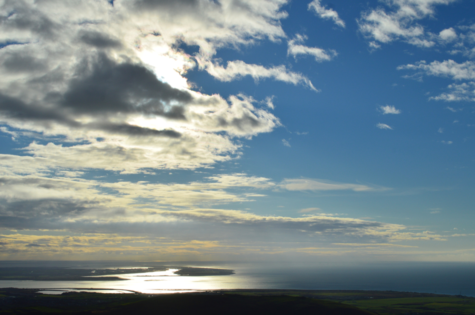
| Sunrise over the Duddon Estuary. |
| |
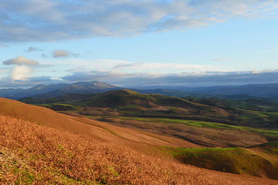 |
| The Dunnerdale and Coniston Fells seen over Knott Hill. |
| |
 |
| White Hall Knott summit is just ahead. |
| After ascending the grassy track I arrived at the shoulder of White Hall Knott with the continued ascent of White Combe directly in front of me, here I head left over what appeared to be a grassy ledge like path towards the summit where I was presented with the grandest of views of Black Combe and Blackcombe Screes. |
 |
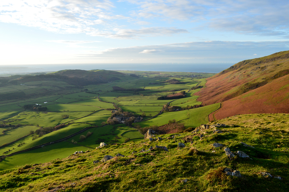
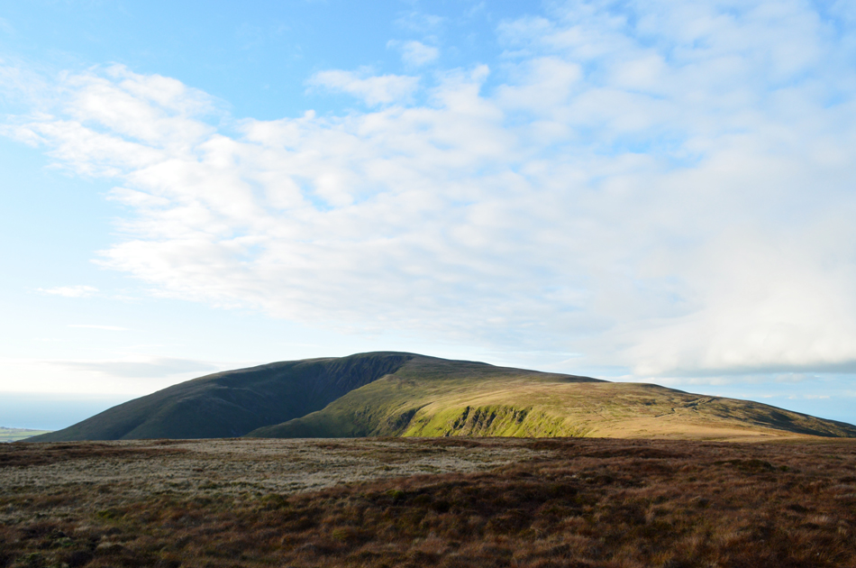
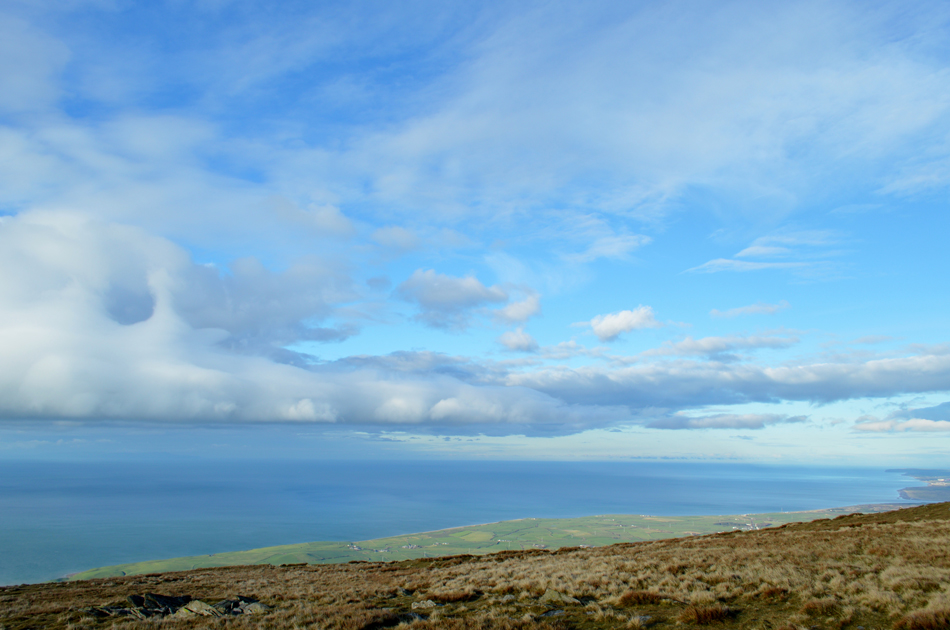
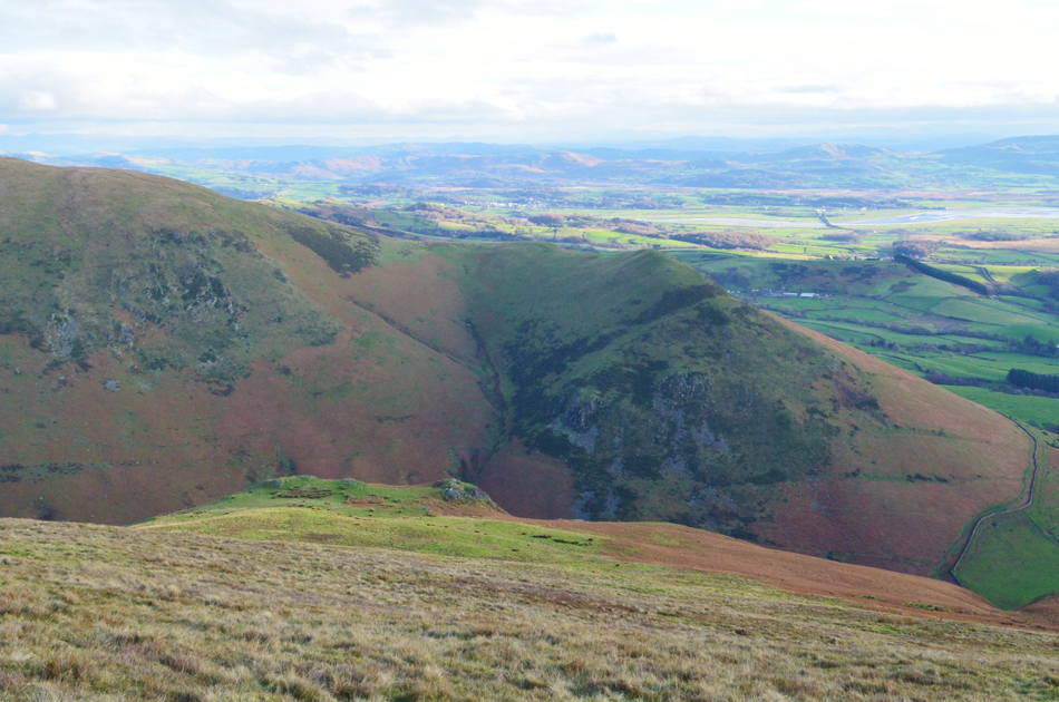
| Black Combe, Blackcombe Screes and Sty Knotts from White Hall Knott. |
| This image shows my descent route via Sty Knotts seen as the craggy outcrop seen centre which continues to descend very steeply to Whitecombe Beck below. |
 |
| The Whicham Valley and the Irish Sea from White Hall Knotts. |
| With the eastern flanks of Black Combe seen right. |
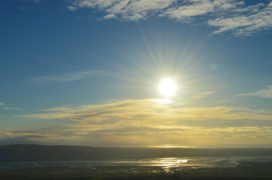 |
| Duddon sunrise from White Hall Knotts. |
| Now free from cloud. |
 |
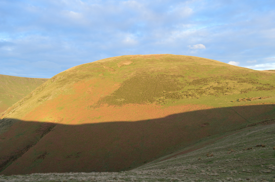
| The Eastern mass of Black Combe. |
| I'm not very technical with words so I'm just gonna say this...that is one big hill, falling short of being named a mountain by around 48ft. |
 |
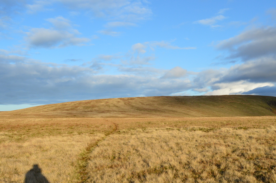
| Back to White Combe. |
| its time to return to the col before my ascent on White Combe, the path I'll be using it out of shot off to the right. |
 |
| Black Combe from White Combe summit. |
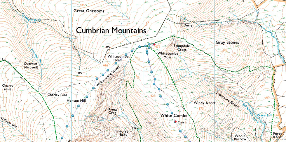
Having crossed the col I began the steady ascent on White Combe by following a singular grassy trod, with only one false summit on the horizon White Combe's summit shelter first came into view followed by the summit cairn off to the right.
With the majority of the hard work now behind me I can enjoy the spectacular ridge walk to Stoupdale Crags while a strong sun rises behind me, not before a quick visit to the summit shelter. |
 |
| Morecambe Bay and the Duddon Estuary from White Combe summit 'tumulus' shelter. |
| |
 |
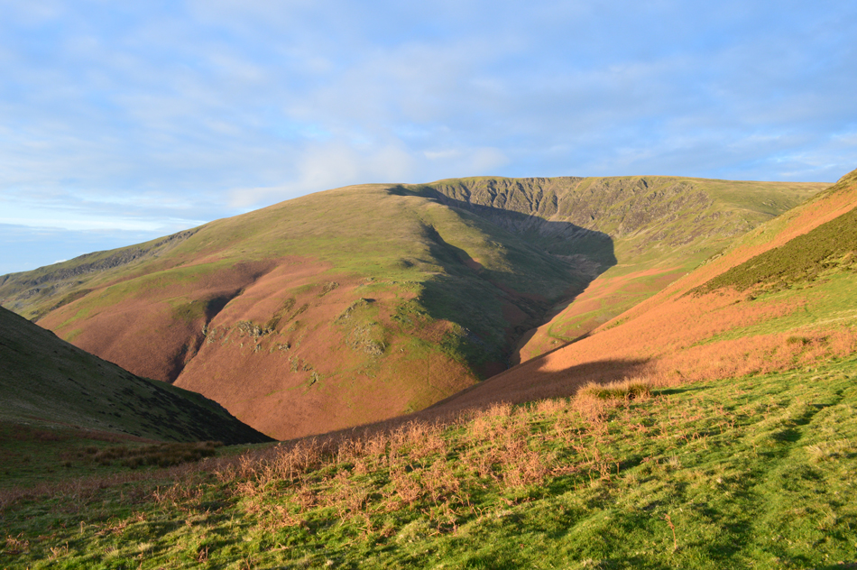
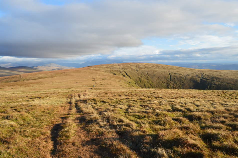
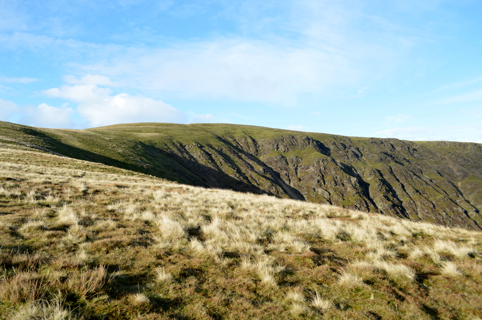
| Stoupdale Crags is ahead. |
| From White Combe summit Stoupdale Head appears just three quarters of a mile away, that's three quarters of fell walking bliss. |
 |
| Kinmont Buck Barrow, Buck Barrow and Whitfell from Stoupdale Head. |
| After leaving White Combe I followed a singular worn path which forked right towards Stoupdale Head, keeping left simply avoids a summit of Stoupdale Head and after an easy rise I arrived at the summit right about the same time the sun went behind a bank of cloud behind me. |
 |
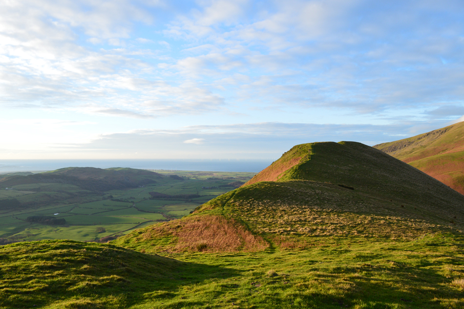
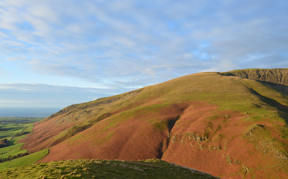
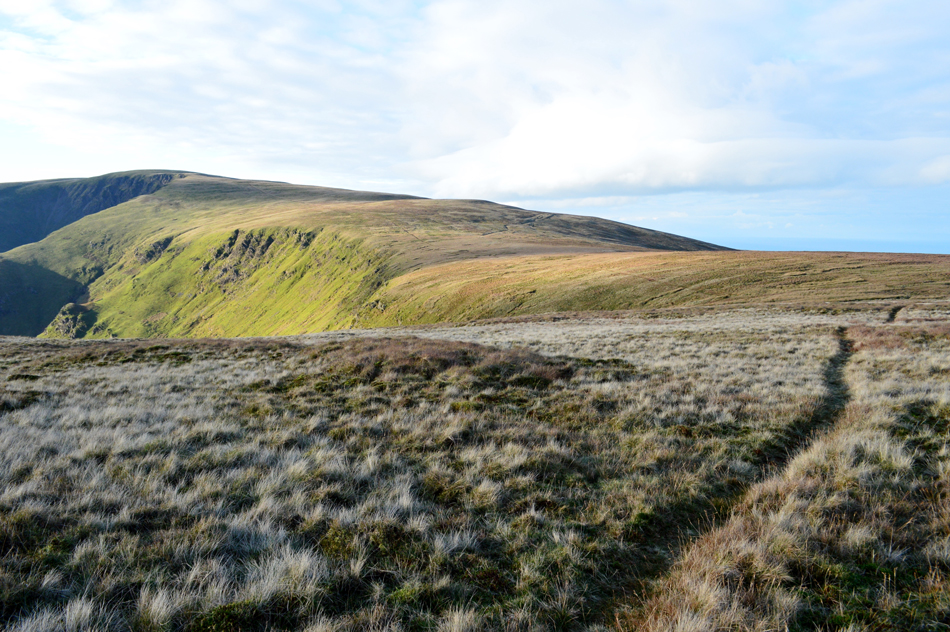
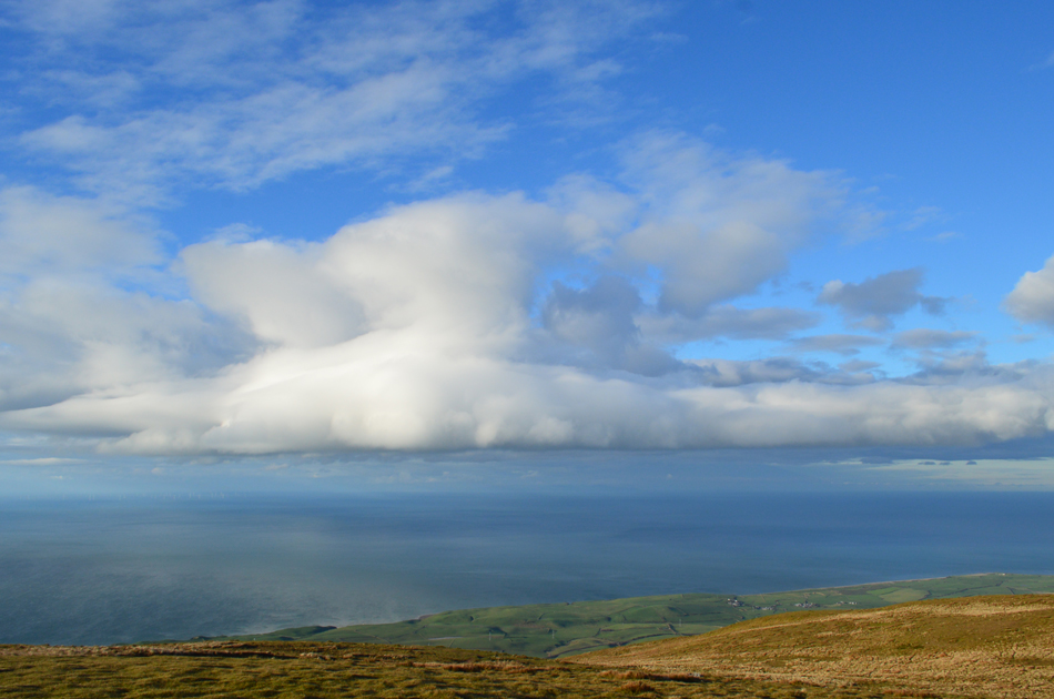
| Black Combe from Stoupdale Head. |
| You can clearly see Whitecombe Screes in the foreground with Blackcombe screes below Black Combe summit in the distance, the approach path avoids getting too close to the screes and I recommend sticking to the path in bad weather but on a day like today a sneaky peak from the top of either screes would offer great views into Whitecombe Beck, and/or Blackcombe Beck. |
 |
| Black Combe from the top of Whitecombe Screes. |
This one image taken from the top of Whitecombe Screes typifies for me what fell walking is all about, blue skies, autumnal winds billowing through seasoned wild grasses and no one else about along with that one question you have to ask yourself.
Is it time I added my gloves? |
 |
| The sun breaks through the cloud and light is once again restored. |
| |
 |
| Looking over Whitecombe Screes and Stoupdale Head from Hentoe Hill. |
| It appears I may have company. |
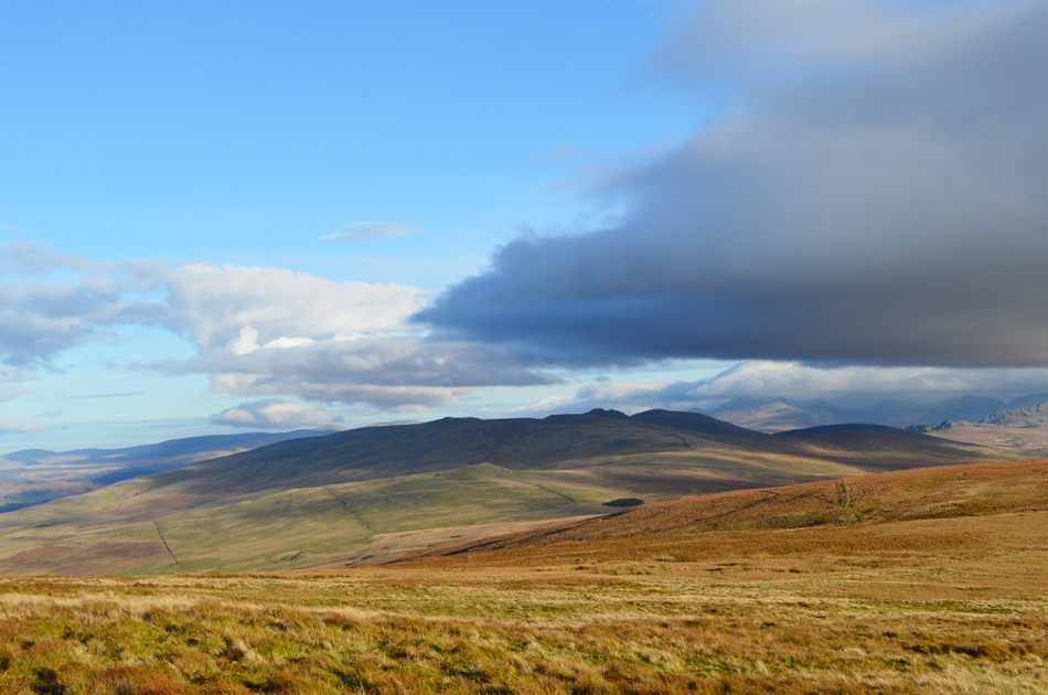 |
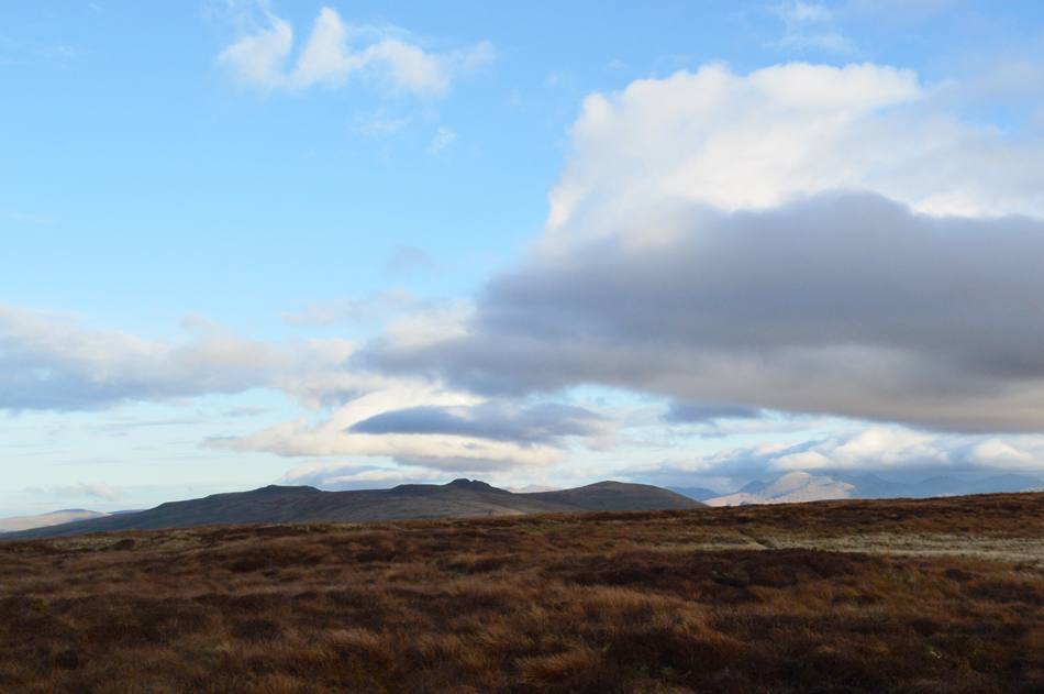
| A distant view of Stoneside Hill, Kinmont Buck Barrow, Buck Barrow and Whitfell from Hentoe Hill. |
| That's Stoneside Hill seen in the foreground with the Corney Fell Road running through the centre of the picture. |
 |
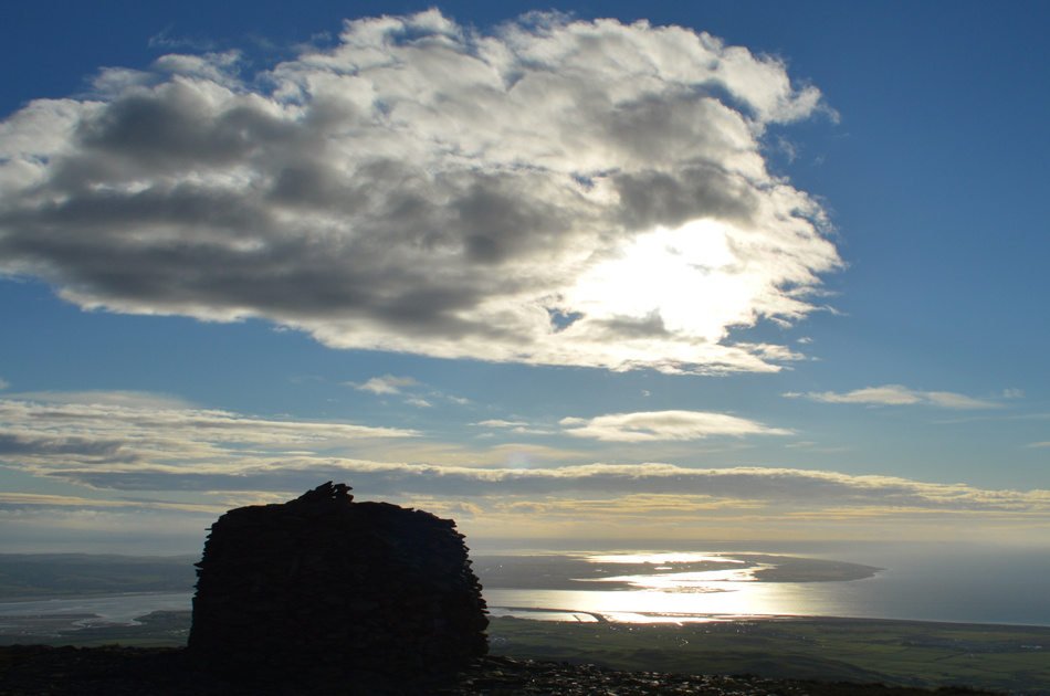
| An unbroken view of the Cumbrian Coast seen as I approach the last few yards towards Black Combe summit. |
| If you follow the coast towards the bottom right of the picture you can see where the River Esk flows into the Irish Sea. |
 |
| The Irish Sea from Black Combe. |
By the time I arrived at Black Combe summit the wind was starting to whip up leaving my fingers to cope with the sudden drop in temperature, there was no fighting the niggling pain the windchill was causing so just prior to reaching the summit shelter I de shouldered and dropped to one knee and took out my gloves before easing them over my now raw hands.
I'm thinking I should have done this much earlier! |
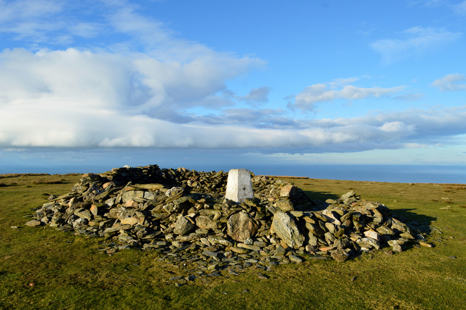 |
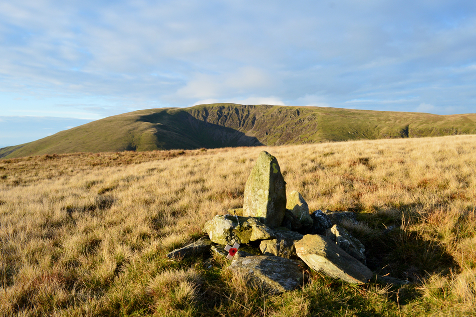
| Black Combe trig point seen nestled within the summit shelter |
| Despite the sunshine the windchill is making it too uncomfortable to hang around so I head for the south top next, todays final summit. |
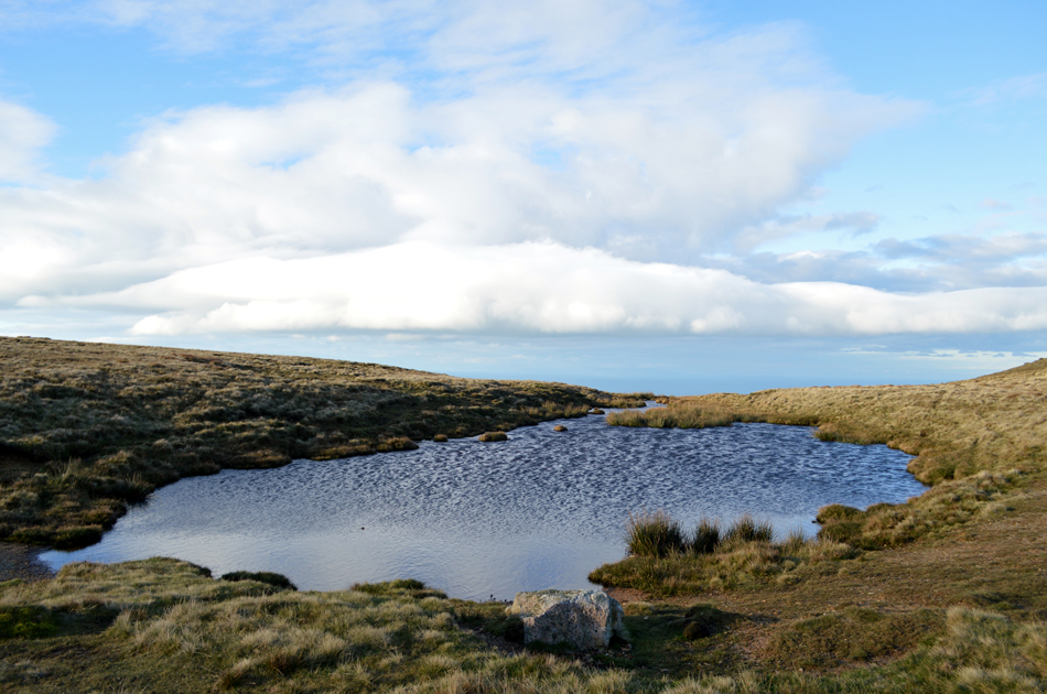 |
| Not before passing this tarn found in a hollow between the South Top and the main summit. |
| I suspect this hollow shielded from the summit winds would be a great base for a wild camp. |
 |
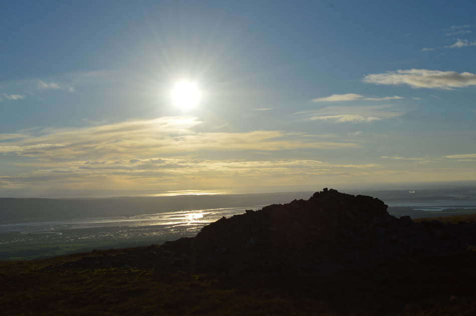
| The Duddon Estuary and Walney Island from Black Combe South Top. |
| Despite it being mid morning the sun is still low in the sky revealing great views as the cloud passes by. |
 |
| Time to descend Black Combe East Ridge towards Sty Knotts. |
| Here looking back towards the summit with Blackcombe Screes seen over on the right. |
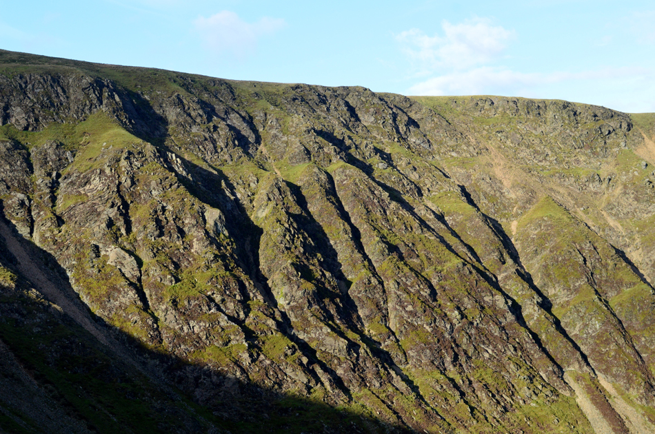 |
| A close up of Blackcombe Screes in the sunlight. |
| |
 |
| One last view over a sun lit Duddon Estuary before I make my way towards Sty Knotts. |
| |
 |
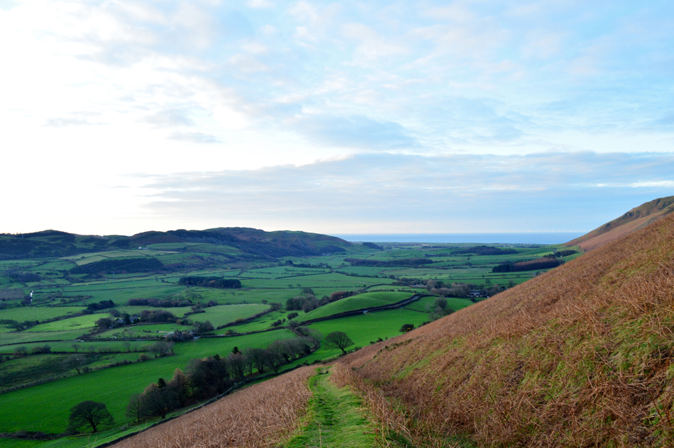
| White Combe and White Hall Knotts seen over Sty Knotts. |
| I followed the ridge line sighting the tarn oddly named Eller Peatpot which sat perched above a craggy outcrop, the sound of a quad bike engine disturbs the silence and within minutes I am joined by the local farmer who waves one hand as he passes by, the ground is steep and the laboured engine note reflected this. I look at the farmers line of ascent and sure enough two tracks descended in the direction of Hallbeck Gill, but this wasn't my route. Ahead Sty Knotts was never far from view, Its summit sat perched high above Whitecombe Beck as I recall Birketts words of how steep its descent is. |
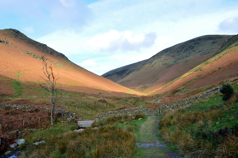 |
| White Combe from Whitecombe Beck. |
I had reached Sty Knotts and felt the slight relief that I wasn't looking down from the top of a cliff edge but even so, a very steep boulder laden descent awaited me. As recommended I choose the best line whilst thanking my stars I had chosen to do this walk on the cusp of Winter when the Bracken was low yet still unforgiving in places, this is not a technical descent just steep therefore it paid to plan a good line of descent. The sound of Whitecombe Beck drew closer and soon I was looking back up at Sty Knotts which now dominated my horizon.
I'd already taken my gloves off not before mastering how to double joint my right elbow which then enabled me to tuck my gloves into a side pocket of my pack without actually removing IT. The last time I was here was back in December 2011 and back then I sat on the wooden footbridge over Whitecombe Beck eating my lunch whilst dangling my feet like a six year old boy, seven years on I've grown less resistant to the cold so happen I'll just eat my butties in the car after three blissful hours on the hill and a possible contender for walk of the year. |
|
| |
| Back to top |
 |
|