|
Blencathra from Mungrisdale |
 |
 |
29th November 2018 |
 |
|
I was lucky enough to be able to take the day off work when I spied this weather window which frankly had been placed between the grim of grey skies, swollen ground and plenty of rain, in fact, I think today even caught the forecasters by surprise because two days ago they'd written the whole weekend off. Blencathra from Mungrisdale is fast becoming one of my 'go to' walks because given the amount of time I had to get my gear ready this was the first walk that popped into my head, I guess that's when you know you have a favourite in the making.
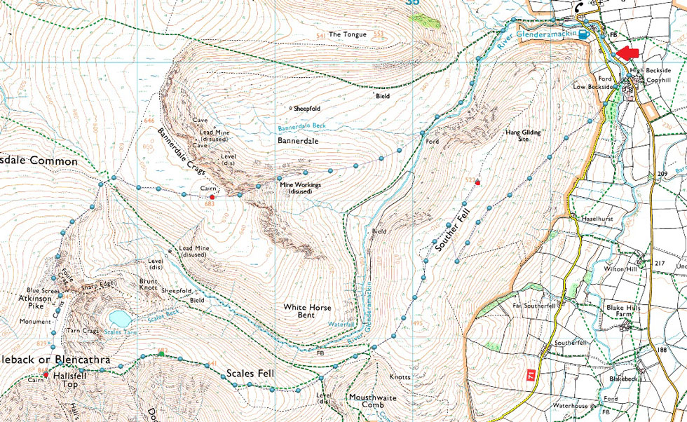
The walk starts from the hamlet of Mungrisdale before heading for Bannerdale via the banks of the River Glenderamackin from where Bannerdale Crags east ridge is gained. The east ridge for me is one of Lakelands hidden gems, yes it's popular but nowhere near as popular as Wetherlam Edge but it has exactly the same qualities in my opinion. Once the Bannerdale Crags is gained it's time to head for Blencathra via the scree path on Atkinson Pike. From the summit of Blencathra I descend over Doddick Fell top then Scales Fell before crossing the col at Mousthwaite Comb from where the days last summit awaits, Souther Fell. To walk a favourite on the day as I had today can simply be put as what fell walking dreams are made of. |
|
| Wainwright Guide Book Five |
 |
Bannerdale Crags East Ridge
Towards the end this becomes a grand scramble in an impressive situation – a bit of real mountaineering. |
|
|
|
| |
|
Overview |
|
|
| Ascent: |
2,850 Feet - 869 Metres |
| Wainwrights: |
Bannerdale Crags - Blencathra - Souther Fell |
| Weather: |
Bright Winter Sun Throughout. Light Winds Over The Summits. Highs of 7°C Lows of -1°C |
| Parking: |
Roadside Spaces, Mungrisdale Village |
| Area: |
Northern |
| Miles: |
8 |
| Walking With: |
On My Own |
| Ordnance Survey: |
OL4 |
| Time Taken: |
4 Hours |
| Route: |
Mungrisdale - River Glenderamackin - Bannerdale Crags East Ridge - Bannerdale Crags - Atkinson Pike - Blencathra - Scales Fell - Top of Mousethwaite Comb - Souther Fell - Low Beckside - Mungrisdale |
|
| |
|
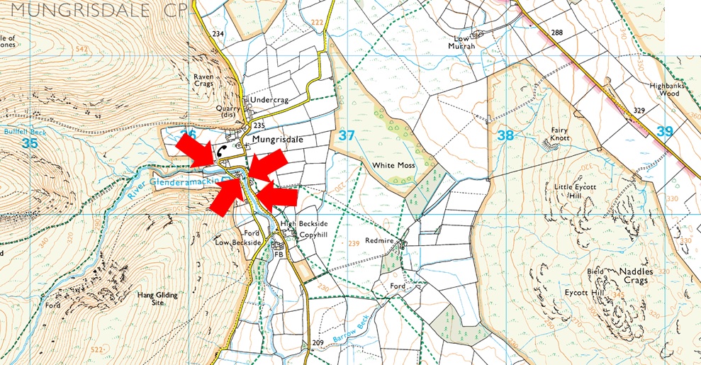
Parking Details and Map |
|
|
| Nearest Post Code: |
CA11 0XR |
| Grid Reference: |
NY 364 730 |
| Notes: |
The village of Mungrisdale is quite a small village with limited parking. The lower right arrow points towards a grass verge on the left prior to entering the village with room for around five cars, parking here is free. The lower left arrow points towards the Mill Inn which has a car park to the rear and is for guests only. The upper right arrow is the main car park in the village which is found opposite the village hall where a sign advises users to use the honesty box outside the village hall. The upper left arrow points towards street parking found at the northern edge of the village, to locate, turn left once the red phone box is reached. |
|
| |
|
Map and Photo Gallery |
|
|
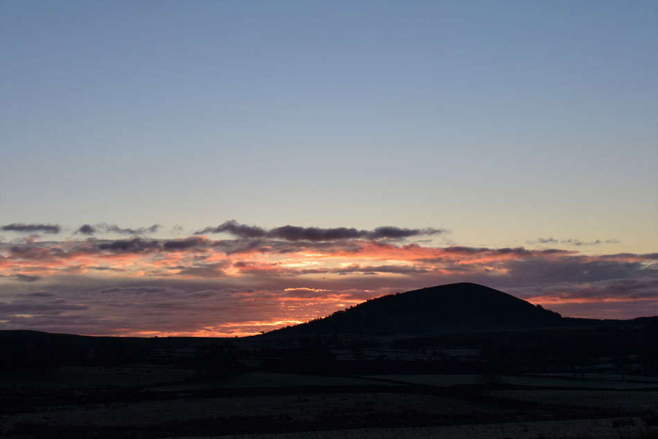 |
| Great Mell Fell sunrise. |
| I hadn't noticed the sunrise creeping up until I was a mile or so out of Mungrisdale when I noticed the fireball in my rear view mirror so I had to pull over and snaped a few shots, it looks like I'm in for a spectacular day. |
 |
| Bowscale Fell East ridge from Mungrisdale 08:15am -1°C |
After all the doom and gloom finally we have frost on the ground. I was surprised to find I was the first to arrive at the parking places but that said this is a weekday morning. Soon a second car pulls up and despite getting a morning wave from its occupants they leave the engine running while they looked over a map.
I kit according to the forecast adding gloves and beanie from the start, it's -1°C and the air feels very still and clouds of my breath escape as I lace up my boots, already the cold air is settling on my chest, I best get a move on. Leaving the parking spaces I waved again at the couple in the car and head out passing Mungrisdale Hall and walked up the hill towards the red phone box from where I'd head into Bannerdale. |
 |
| Bannerdale Crags East Ridge (left) and The Tongue (centre) |
I hadn't felt a breath of wind in Mungrisdale but once exposed to the open a cold blast greeted me as I was making my way towards Bannerdale which made my nose run and eyes water, blimey I've only just left the car which probably explains it. I'm heading towards the base of Bannerdale Crags east ridge seen over on the left, the formal way to reach it is to follow a narrow path along the banks of the River Glenderamackin but this path in some parts has been washed although the path is still safe to use, you do tend to find yourself making detour after detour in order to get around the erosion and not forgetting, the boggy bits of which there are many.
The alternative would be to follow the path seen centre widening left around the base of The Tongue then leave the path over rough ground until the base of the east ridge is reached. |
 |
| Bannerdale Crags East Ridge from the River Glenderamackin. |
In the end I ended up using the eroded path along the banks of the Glenderamackin, I suppose I was won over by the sound of the river which accompanied me to the base of the east ridge. The path mentioned was quite boggy but at least I got the chance to swill my boots in Bannerdale Beck at the foot of the east ridge.
The sun is still low at the moment but the skies are clear meaning by the time I would gain the east ridge I should be in glorious sunshine. |
 |
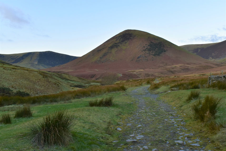
| Bannerdale Crags from Bannerdale Crags East ridge. |
| After a fair amount of sweating the east ridge is gained and boy was it worth it, after weeks of drizzle, grey skies and general dreariness I was back in my element absorbing the sunlight like a solar panel. |
 |
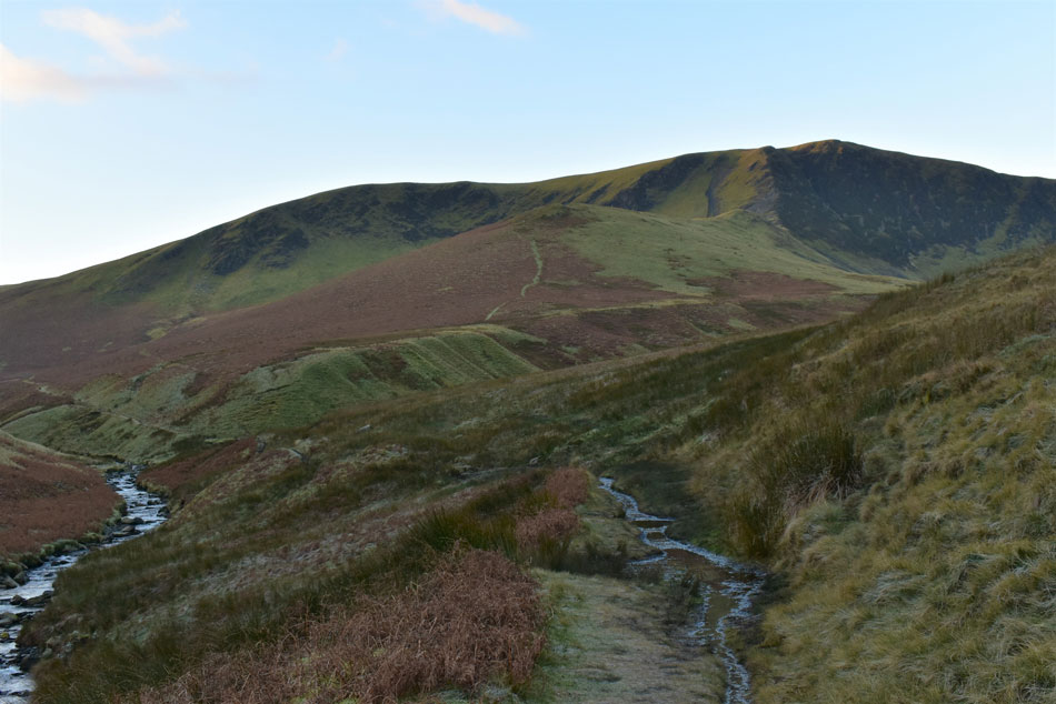
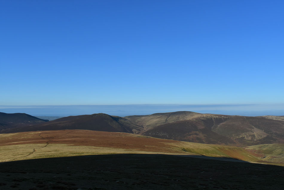
| Clough Head, White Pike and Great Dodd seen beyond Mousthwaite Col. |
| I keep forgetting this is a weekday and therefore I would be expecting to see many a walker crossing Mousthwaite Col but it was eerily quiet and I was loving every minute. |
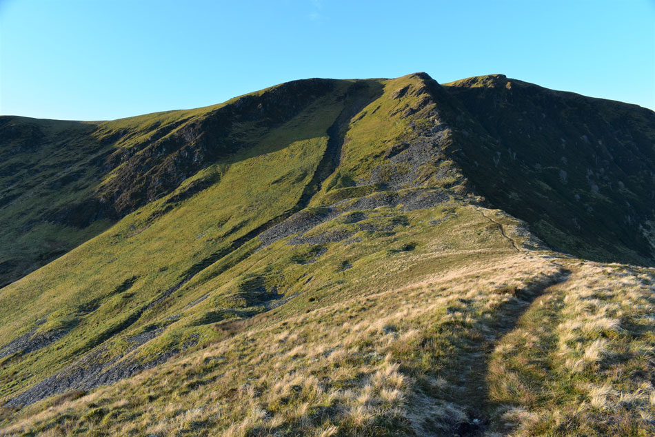 |
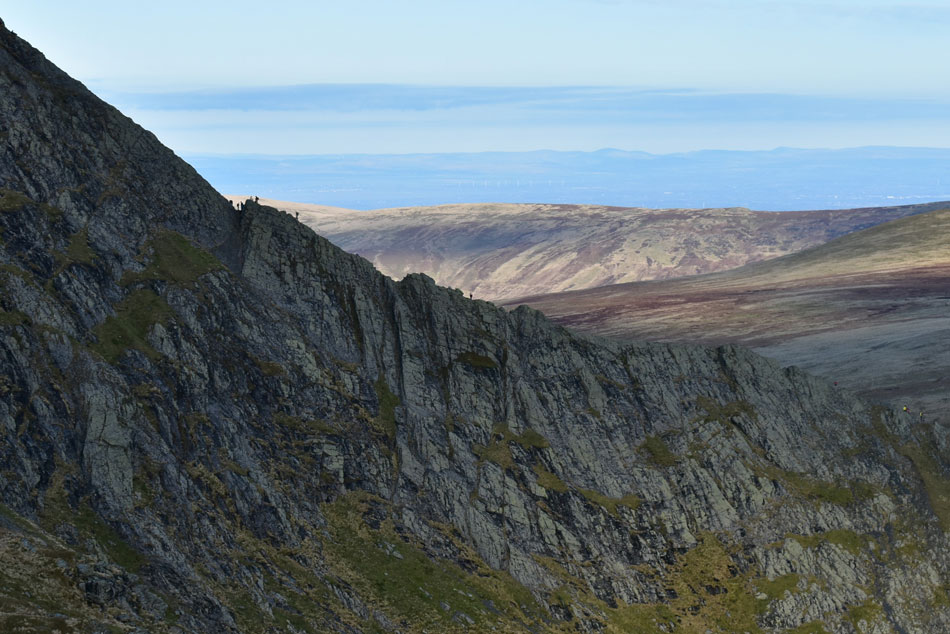
| Bannerdale Crags East ridge. |
| The path passes through the old mine workings about half the way up but is sound and easy to follow. |
 |
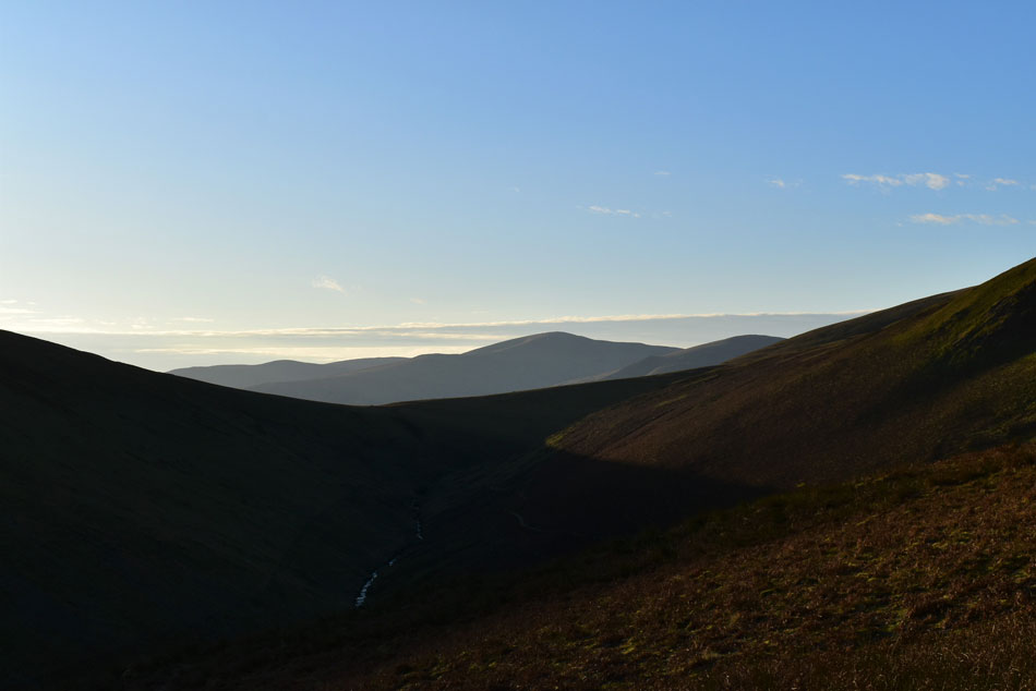
| Looking down on the East ridge. |
| With Bannerdale and The Tongue seen left and Souther Fell, todays final summit seen right. |
 |
| Bowscale Fell and Knott seen beyond Bannerdale Crags. |
| The ascent was steep but I enjoyed every minute of it including the slide backs when at times my boots wouldn't grip the wet rock. By now the sun was climbing into a cloudless sky yet despite the brightness the air was starting to nip so I put my beanie back on which I'd taken off during the ascent. |
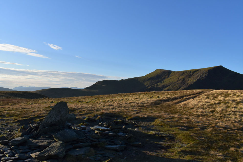 |
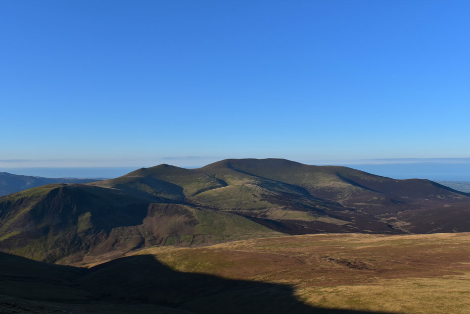
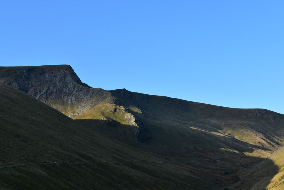
| Blencathra from Bannerdale Crags East cairn. |
| |
 |
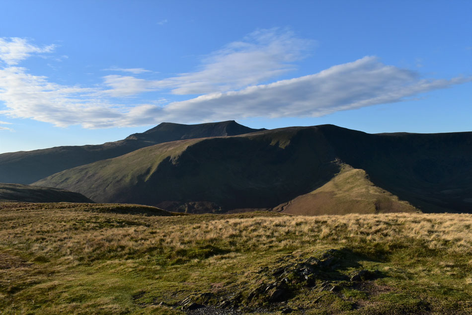
| Blencathra and Sharp Edge from Bannerdale Crags summit cairn. |
| Blencathra sure is looking glorious today. |
 |
| Skiddaw, Bakestall, Great Calva and Knott from Bannerdale Crags. |
| The ground just keeps getting firmer and firmer and by the time I had crossed the summit my walking pole tips made a 'thudding' sound as they hit the frozen turf. Not only was I blessed with fantastic views but I had the perfect conditions too. |
 |
| Ascent on Atkinson Pike. |
| I say ascent, what I mean is march! It's an enjoyable ascent bit it's also one where you have just gotta get stuck in and if that means looking at your boots for the next twenty minutes then so be it. |
 |
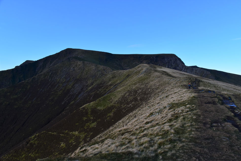
| Looking back on Bannerdale Crags. |
| With a youthful River Glenderamackin below. |
 |
| Mungrisdale Common, Bakestall, Great Calva and Knott from below Atkinson Pike. |
| A young fell runner was also making her ascent on Atkinson Pike but she was a few good paces behind me after returning from summating Mungrisdale Common who finally caught up with me with a cheery 'Hi' as she passed me at Atkinson Pike summit, |
 |
| Lonscale Fell, Skiddaw and Bakestall seen beyond Mungrisdale Common. |
| |
 |
| The same view from the Harold Robinson Cross on Blencathra. |
| I started to make my way towards the cross from where the views over Skiddaw were simply stunning. The air was so clear without a breath of wind, bloody marvelous. |
 |
| Skiddaw from Blencathra's frozen summit tarn. |
| I've stood here until the sun went down, I've stood here wearing shorts while getting burnt to a crisp and today I'm stood here wearing full winter gear. Of all the tarns in Lakeland this one ranks very high on my list simply because of this view. |
 |
| Gategill Fell Top and Skiddaw from Blencathra summit. |
The morning just kept getting better finding that I had the summit to myself when eight, then six people broke away as I approached, I must smell or something! There was a slight breeze and the air was mighty nippy but not cold enough for me to pull up a large rock and take five minutes if only to absorb the fantastic views which sadly didn't extend as far as the north western, and eastern fells which were all in shade. |
 |
| Views from my pit stop. |
| Here looking down on ground soon to be covered with Doddick Fell top seen foreground, Scales Fell thereafter and Souther Fell in the distance. I really don't want to leave! |
 |
| Descending Blencathra for Doddick Fell top. |
| It was here I'm passed by a fell runner, an elderly chap who made me look like I was stood still, in tow a Patterdale Terrier who kept up about thirty yards back, the gap so large I didn't think they were together and at one point the runner stopped to let his dog catch up then proceeded to give the dog a friendly telling off for not keeping up which made me chuckle. |
 |
| Sharp Edge. |
| Sharp Edge was busy this morning, I'd seen two ascending from Atkinson Pike earlier but it's looking much busier now especially around Crux where there seems to be a queue forming. |
 |
| Looking back on Blencathra and Doddick Fell top. |
| From here you do get that classic view of the Saddleback. |
 |
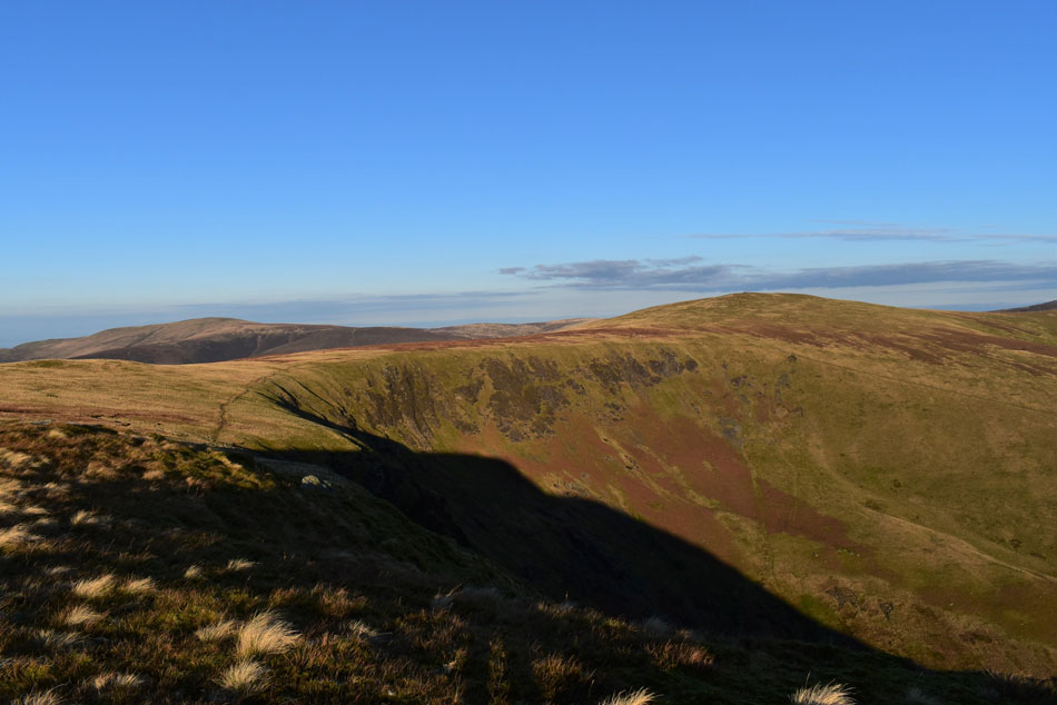
| Descending Scales Fell for Mousthwaite Col. |
| A wall of cloud passed over the midday sun blocking light but once the cloud had passed the fell side was ablaze in sunlight once again. I'm heading for the Mousthwaite Col seen below before collecting todays final summit of Souther Fell seen ahead. |
 |
| Sharp Edge close up from Mousthwaite Col. |
| |
 |
| Looking back over Mousthwaite Col towards Blencathra and Sharp Edge. |
| With the River Glenderamackin meandering around the foot of White Horse Bent/Bannerdale Crags. |
 |
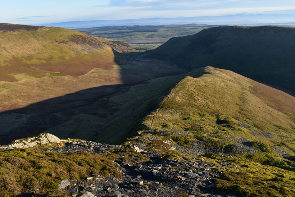
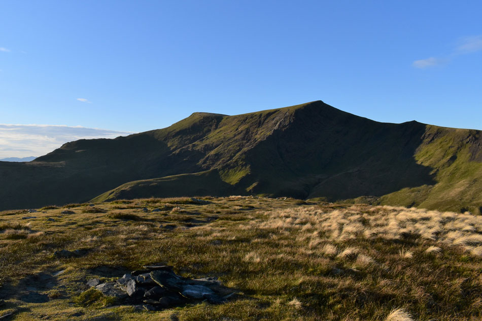
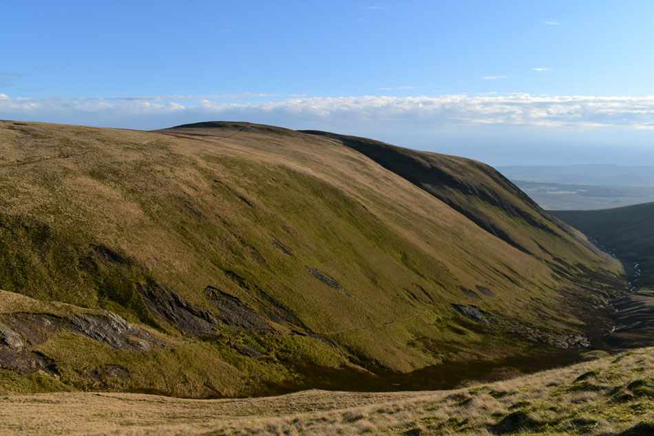
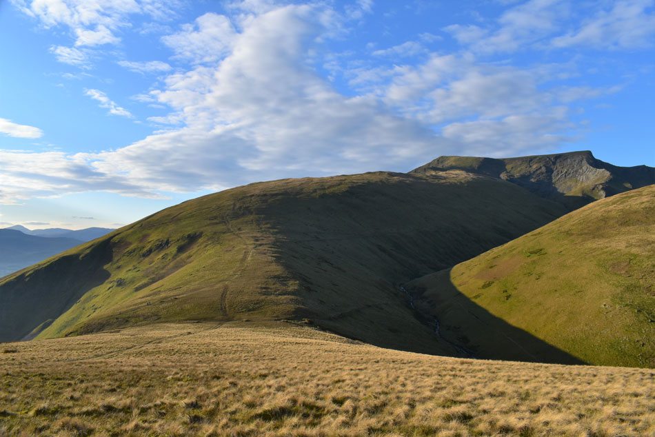
| Blencathra, Bannerdale Crags and Bannerdale Crags East ridge from Souther Fell summit. |
| It wasn't on Blencathra where I would pass the most people but here on Souther Fell which was busy with walkers approaching from Mungrisdale. By now the midday sun was starting to defrost the ground which made getting around the bogs a little tricky but there was still hard ground to get by and by the time I'd reached the summit I still had dry boots, which is a rarity for Souther Fell which is notoriously boggy across the summit area. |
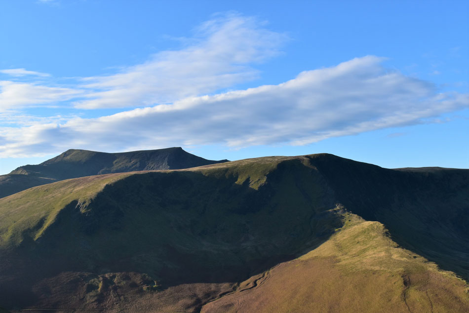 |
| Blencathra, Bannerdale Crags and Bannerdale Crags East ridge from Souther Fell |
| OK, time to double back a little from where I'll pick up the path on the east flank of the fell. |
 |
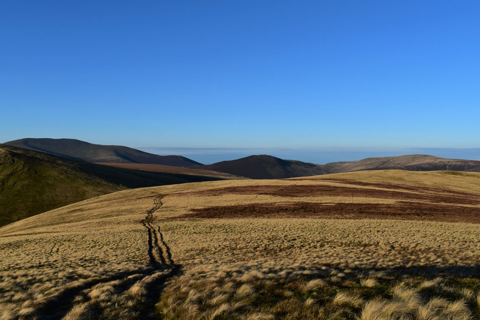
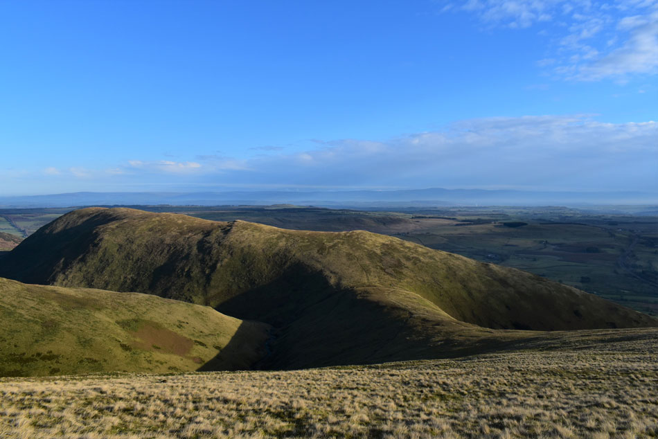
| Descending back to Mungrisdale. |
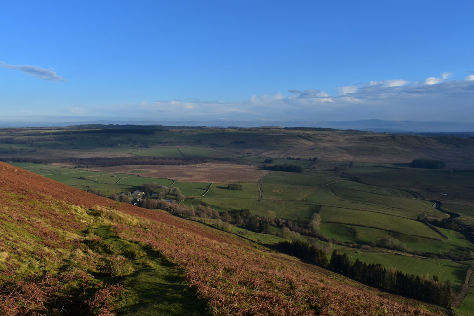
| With uninterrupted views of the north Pennines. |
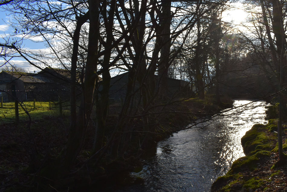 |
| The River Glenderamackin, Mungrisdale. |
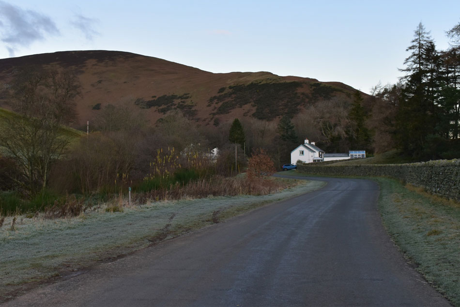
Descending the path on east flank of Souther Fell is always a delight and todays descent was no different, I really can't recommend the path enough both by means of ascent or descent. It was the kind of descent I really didn't want to end but end it did on the tarmac road which links Mungrisdale with Scales. It was here I am passed by a cyclist who smiles as she passes, the strain from the incline evident across her face.
A short walk further down the hill a signpost directs through pasture and over the Glenderamackin for the final time. She was in full flow as the sunlight tweaked through the bare trees from above leaving the surface shimmering in a golden light. |
|
| |
| Back to top |
 |
|