Walking the Birketts, Carrs, Swirl How and Grey Friar from the Three Shire Stone

3rd March 2019

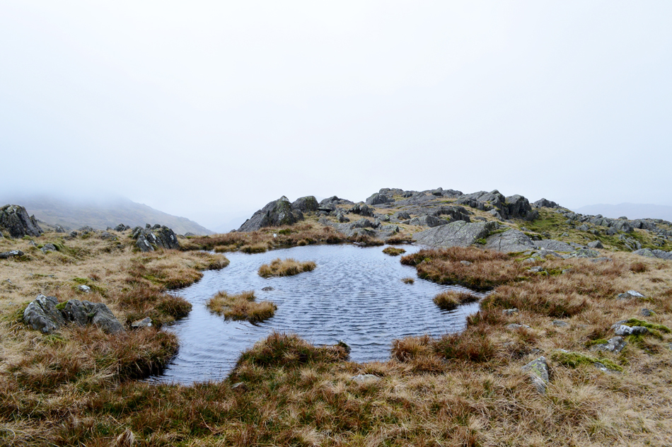
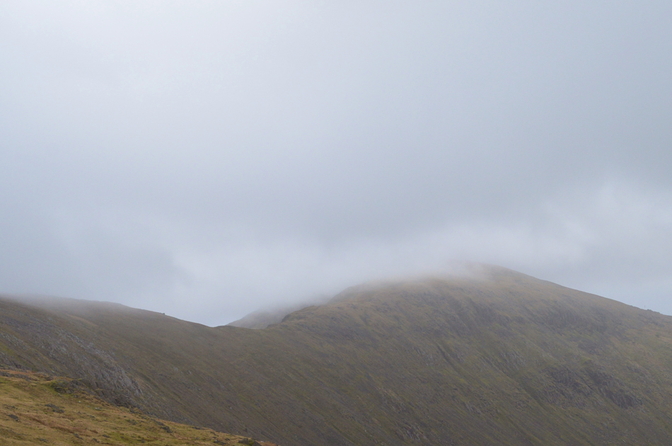
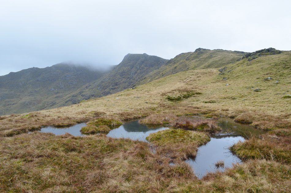
With Storm Freya pushing north I only had a few hours during the morning to plan a walk before the storm arrived in the early hours of the afternoon. I'm still aching to walk both Hencomb and Mellbreak but I need to leave those fells for a brighter day. So I flicked through the pages of the Birkett Fells and found this walk which ticked all my boxes with five summits collected in a little under four hours.

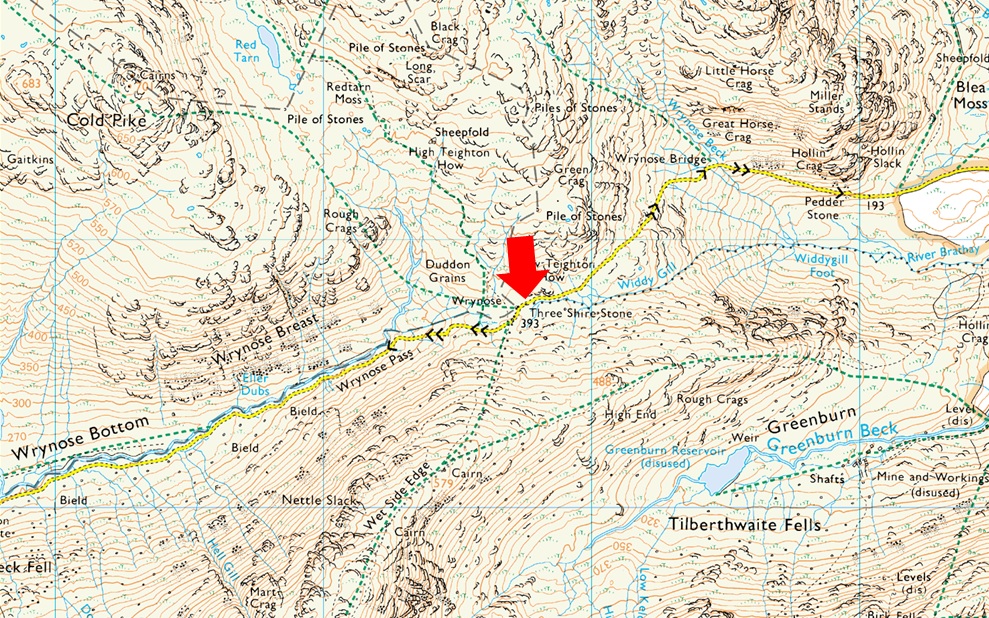
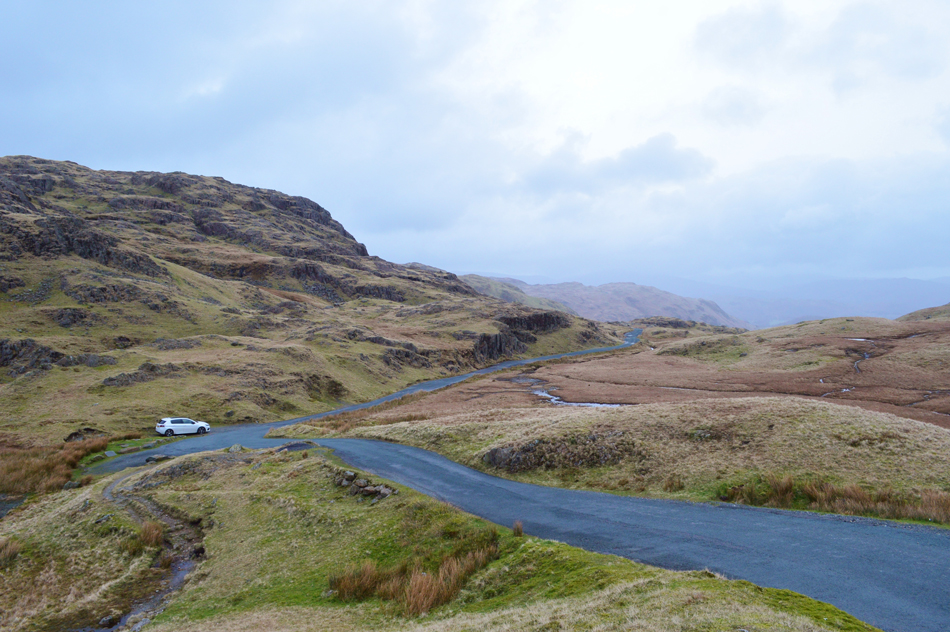
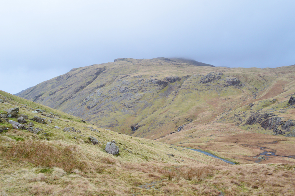
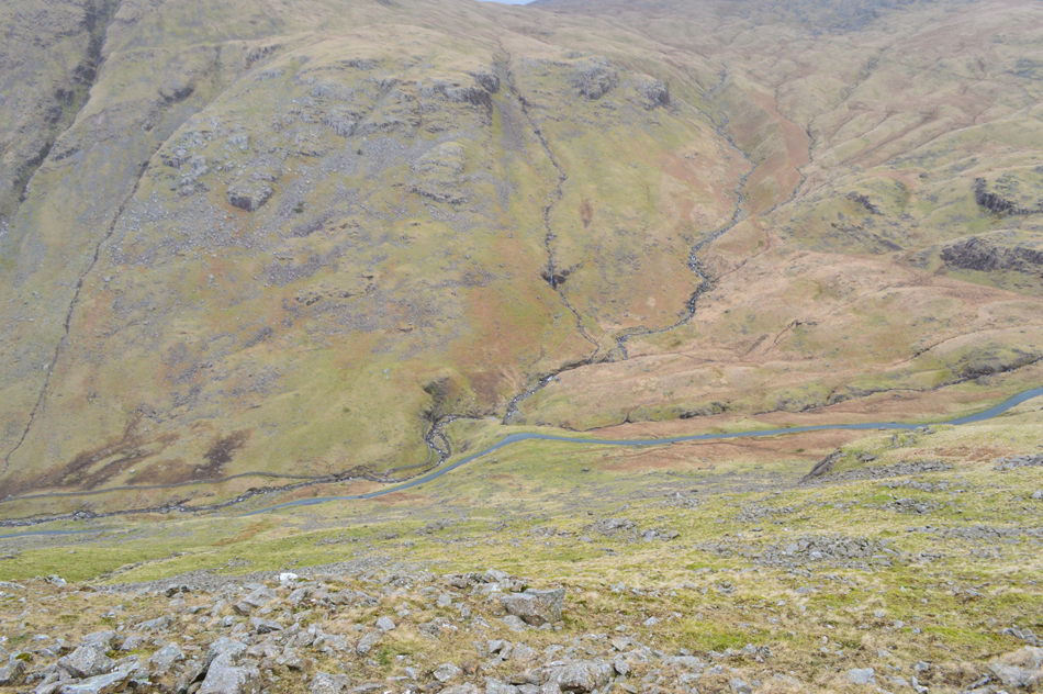
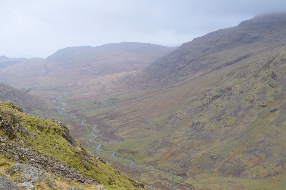
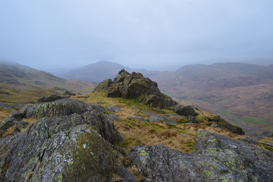
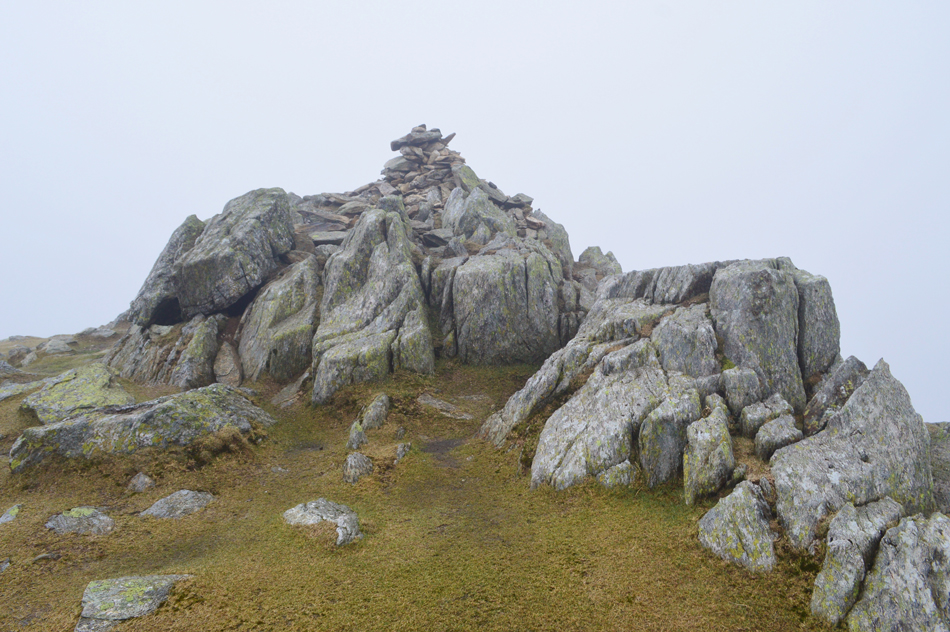
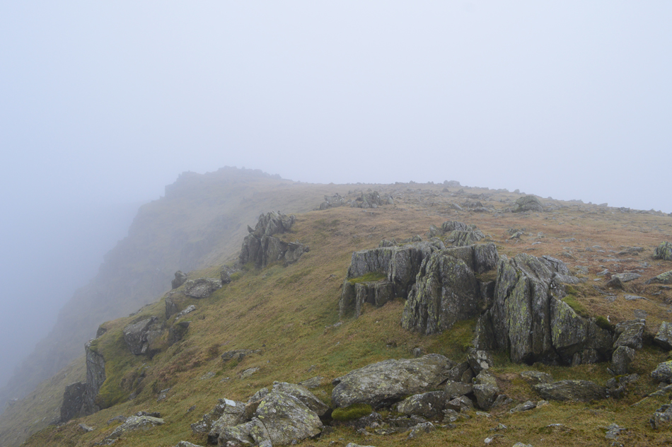
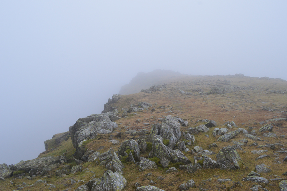
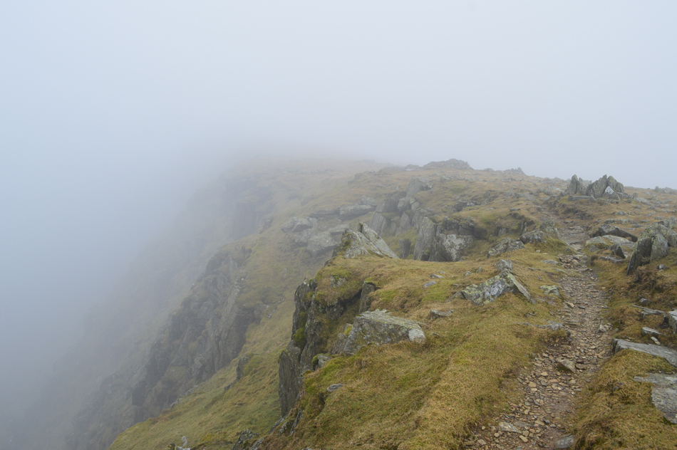
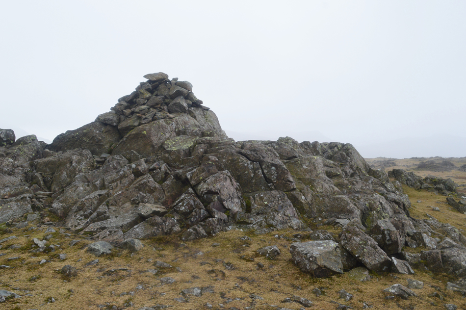
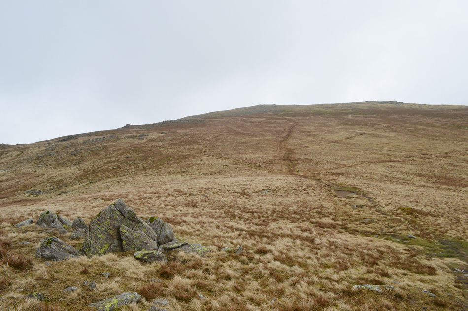
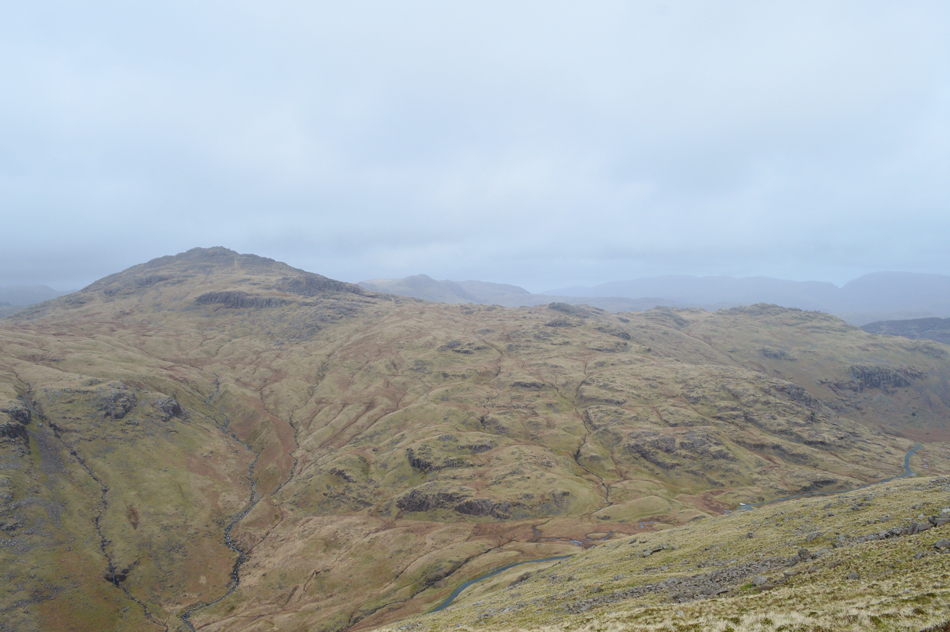
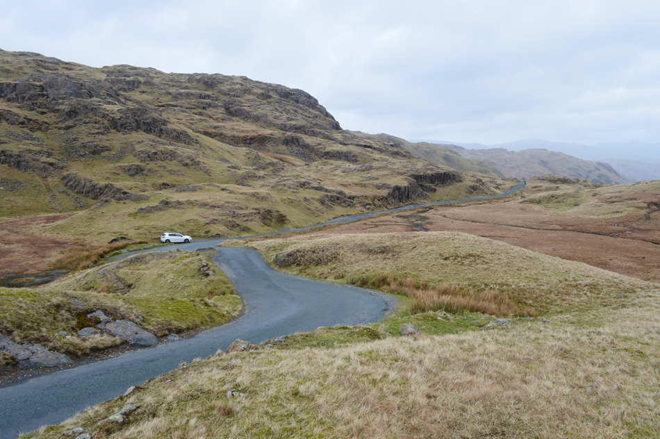
The walk gains Wet Side Edge from the Three Shire Stone which I guess could be called cheating but its the quickest and easiest way and I can see why Birkett included it into this walk. Once Wet Side Edge is gained Hell Gill Pike is first collected which I have passed on many occasions without actually visiting the summit cairn. Next up is the summit of Little Carrs found just below its great cousin Great Carrs, a route that traverses close to the edge and care must be taken.

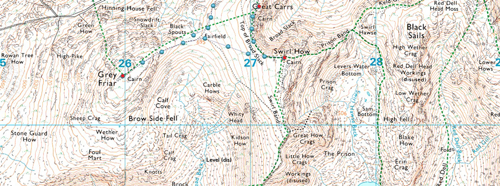
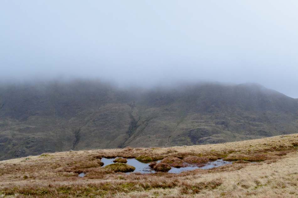
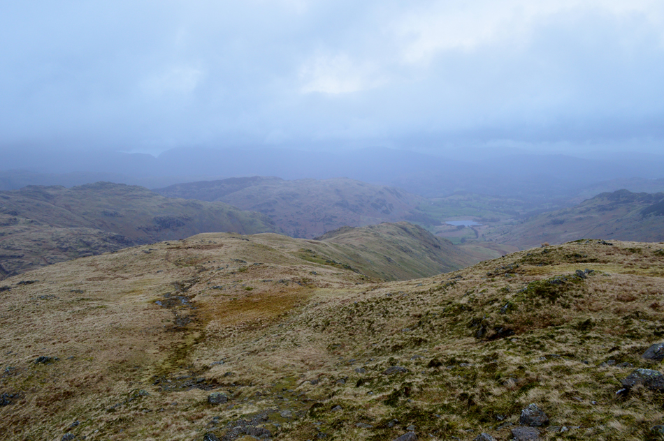
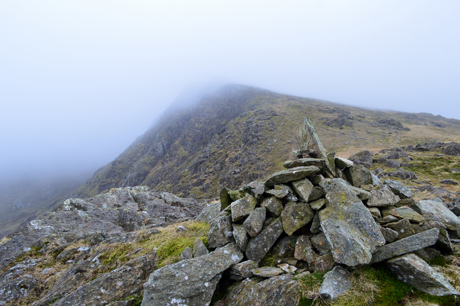
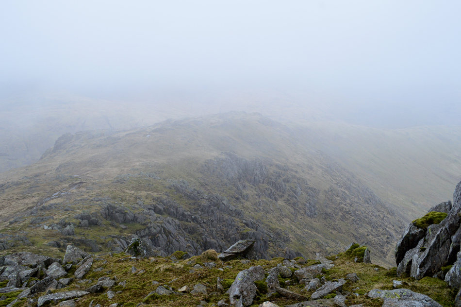
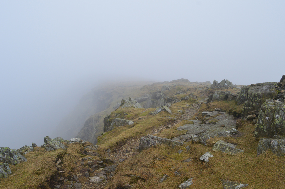
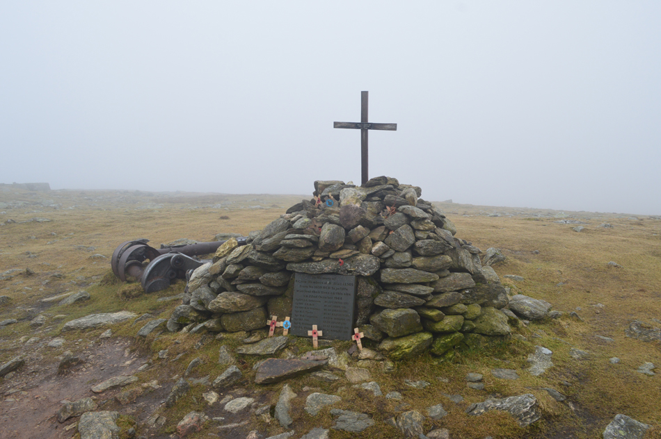
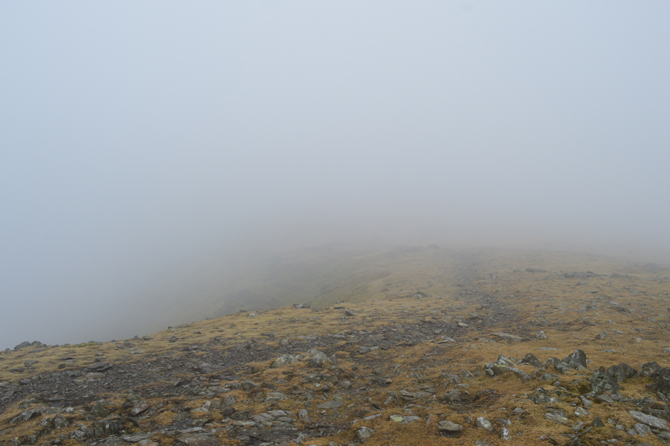
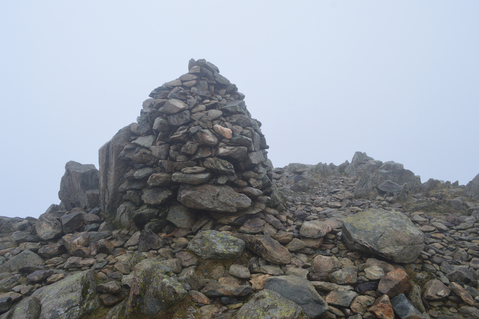
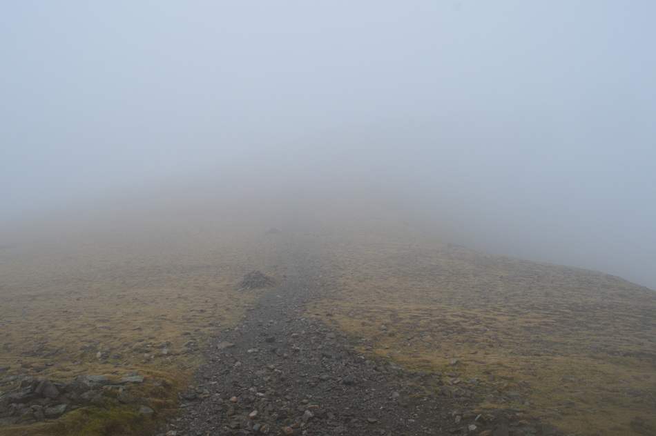
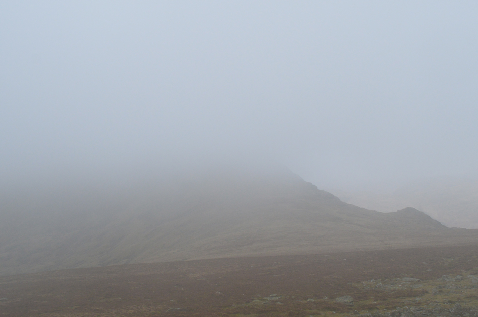
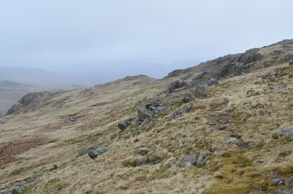
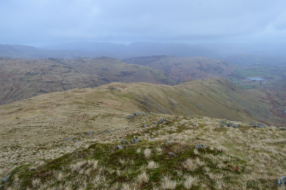
Birkett then recommends to pay a visit to the Halifax Bomber Memorial before crossing the top of Broad Slack then going onto summit Swirl How. From Swirl How I tracked west over Fairfield col before the steady, and final ascent on Grey Friar before returning to Wet Side Edge via Wether How. This is a fabulous excursion which I knocked an hour of the recommended time which I put down to the gale force winds I encountered across the summits.

 
The Complete Lakeland Fells
By Bill Birkett

-Hell Gill Pike

An independent rock island to the right of the path offers a cairned top, Hell Gill Pike.


Overview
Ascent: 1,804 Feet - 550 Metres
Birketts: 5, Hell Gill Pike - Little Carrs - Great Carrs - Swirl How - Grey Friar
Weather: Cloudy With Occasional Hints Of Sunshine. Very Strong Winds Over The Summits With Severe Windchill. Highs of 8°C Lows of 8°C Feels Like -1°C
Parking: Roadside Parking, Top of Wrynose Pass
Area - Group: Southern - S/CON
Miles: 4.6
Walking With: On My Own
Ordnance Survey: OL6
Time Taken: 3 Hours
Route: Three Shire Stone - Wet Side Edge - Hell Gill Pike - Little Carrs - Great Carrs - Top of Broad Slack - Swirl How - Fairfield - Grey Friar - Fairfield - Wether How - Hell Gill Pike - Wet Side Edge - Three Shire Stone
 

Parking Details and Map
Nearest Post Code: LA22 6EQ
Grid Reference: NY 277 102
Notes: Parking at the top of Wrynose Pass is very similar to the roadside parking at the top of Hardknott Pass with the road being equally narrow with the exception that just prior to reaching the top of Wrynose Pass two parking spaces can be found next to the Three Shire Stone. If these are full continue towards the top of the pass and on the left there is off road parking for up to four or five cars. Parking is free.


Map and Photo Gallery


Looking back on the Three Shire Stone just below the top of Wrynose Pass 8:30am 8°C

It had been a quiet drive through Little Langdale and no cars were passed as I eased my way up the pass finding the cutting free to park in where the Three Shire Stone Once stood up until August 2017 when it was found toppled. As far as I'm aware the stone is at Greaves & Sons Stone Masons in Troutbeck Bridge who have repaired the stone on previous occasions although I last heard that the stone is now unrepairable. I felt the bite from the wind as soon as I opened my car door, wearing just a thin base layer below my waterproof jacket just wasn't going to cut it so I reached for my emergency Berghaus fleece which I keep in the boot, trouble is this is the first time I've needed it in a few years and to say it was a little stale might be an understatement but I won't tell if you won't.

Kitted up I locked the car then threw my pack over my shoulder and started to walk towards the top of the pass sighting a sign post for Wet Side Edge. I'd only been out of the car for five minutes and despite wearing my trusty Extremities Windstopper gloves my fingers are the first to feel the affects of the windchill, it sure felt a far cry from last Monday when I walked the Cawdale Horseshoe wearing a t-shirt.


The view over the top of the Wrynose Pass towards Cold Pike.
I left the top of the pass at the sign post, crossed the boggy area and managed to keep my boots dry by stepping over a series of carefully placed stepping stones before starting the steep ascent on Wet Side Edge.

Gaining height now as I look down on Wrynose Pass.
The ascent starts quite steeply via a rock staircase followed by a level traverse across the fell side which gains height gradually.

Peering down on Wrynose Pass with Wrynose Beck snaking its way through the valley bottom.
That's Hard Knott over on the right with Little Stand appearing from the far right, I found it strange to find haze on such a chilled day.

A cloud topped Wetherlam is seen once Wet Side Edge is gained.
After following the level traverse the path starts to rise again steeply via a steep pull then a series of zigzags before Wet Side Edge is gained, I make a mental note of the pool in relation to the path I have just left just in case the cloud is down on my return.

Looking back on Wet Side Edge.
With Little Langdale Tarn appearing in the distance.

The small pool found on route to Hell Gill Pike.
With Hell Gill Pike found just beyond.

Harter Fell (Eskdale) the top of Hardknott Pass and Hard Knott from Hell Gill Pike summit.
Hell Gill Pike summit might just look like a pile of rocks found just of the ridge but in actual fact it marks the highest point of Hell Gill which is a ravine found below on the north side of Wet Side Edge.

Great Carrs from Little Carrs summit.
I retraced my steps back towards the path then started the steady climb towards Little Carrs.

Looking back on Little Cars from the ascent of Great Carrs.
From Little Carrs I keep left and start the steep ascent of Great Carrs all the while the wind is intensifying and starting to take over all thoughts.

Great Carrs summit.
I guess walking alone in conditions such as these can be intimidating for the best of us and I am no different but after putting my hood over my beanie then drawing the cords tightly I was instantly in a better place and could concentrate without my head and ears being battered by the wind, it's amazing how rational thinking can change your mind-set like flicking on a light switch.

I continue along Great Carrs rock summit plateau.
 

The wind might be stripping the saliva from my mouth...
...but I couldn't resist stopping to take a few photos of the summit plateau in menacing cloud.

The path traces narrowly above Broad Slack.
 

Once off the narrow path I head far right towards the Halifax Bomber Memorial.
 

The Halifax Bomber Memorial.

From the path the Memorial cross was sighted through the cloud and I made my way across to the Memorial cairn. I was last here with friends Rod Hepplewhite and Karl Holden for Remembrance Day where around half a dozen strangers gathered around the Memorial to the recording of the Last Post in very wet conditions.

I reckon right now I'd trade those wet conditions for this wind.


Crossing the Top of Broad Slack.
The poor visibility continued as I made my way over the top of Broad Slack towards Swirl How, it was here I encountered the most ferocious of the winds which left my walking poles flailing about uncontrollably. It;s fair to say I gave this path a very wide berth,

Swirl How summit cairn.
As I rounded the top of Broad Slack I now had the wind behind which no doubt propelled me towards the summit. Summit time was kept to an absolute minimum but I did notice that this once fine stone beacon was looking in a sorry state with the top half of the cairn appearing to have been toppled or worse, vandalised.

I retrace my steps over the Top of Broad Slack.
 

Grey Friar from Fairfield col.
I made sure I was in the centre of the Top of Broad Slack before veering off path towards my next summit of Grey Friar. With almost nil visibility I left the path and tracked westerly then picked up the path which links Swirl Band with Fairfield col, it was about here did the cloud clear briefly revealing the profile of Grey Friar.

Cloud lingering above Swirl Band from Fairfield col.
 

The Matterhorn Rock, Grey Friar.
I left Fairfield col and started my ascent on Grey Friar were I was treated to a null from the wind which gave me the time to adjust gear and clothing.

Grey Friar summit (South) cairn.

From the Matterhorn Rock I continued across the rock strewn summit arriving at the subsidiary summit first before tracing south slightly towards the main summit cairn. By now, after the null my face was experiencing pins and needles while my forehead, brain freeze.

Which was nice, said no one ever !!


Swirl Band and Brim Fell from Fairfield col.
I retraced my steps once again and started my descent of Grey Friar experiencing another welcome null once more just below the summit, it was here I stopped for the first proper time to re-adjust this time de shouldering my pack just so I could wipe my camera lens which was starting to fog up. In that null I experienced silence for the first time in two hours and I took my time to soak in the atmospheric views as the cloud started to lift revealing Brim Fell summit further south.

I head left here and follow the prominent path over Wether How.
Continuing ahead leads back to Great Carrs, while right, heads towards Swirl Band and Brim Fell.

Easy going as I cross Wether How.
Where thankfully I am out of the worst of the winds and I can drop my hood again.

Wet Side Edge.
Retracing my steps once more as I pass Hell Gill Pike then link up with the path along Wet Side Edge.

Looking back on Hell Gill Pike, Little Carrs, Great Carrs, Broad Slack, Swirl How and Prison Band.
By the time I reached the pool of water which I had familarised myself with earlier, the cloud had lifted revealing Great Carrs and Swirl How summits and although it's feeling pretty peaceful here on Wet Side Edge my mind is instantly drawn back to how strong the winds are up there.

Pike O'Blisco and Wrynose Fell are seen from my descent.
As is my car which can be seen as the tiny white spec seen lower right, that's the Langdale Pikes over in the distance.

Back at the top of Wrynose Pass.
For some reason I made the descent in great time under the gaze of around half a dozen car owners who were taking selfies and photos from the top of the pass. The stepping stones are crossed once more as are the sight see'ers who continue to click away. Before reaching the tarmac I took this last photo of my car which I guess was never far from mind whilst crossing the top of Broad Slack two hours earlier.


Back to top