|
Thornthwaite Crag via The Ill Bell Ridge |
 |
 |
19th April 2019 |
 |
|
Well, what a difference four days can make in stark contrast to the freezing temperatures I experienced on Blencathra last Monday to today were I burned my head on what is considered to be one of Lakelands best ridge walks. Today I'm walking the Ill Bell Ridge from Troutbeck Bridge following a route that I haven't walked since December 2011.
As delightful as the III Bell Ridge is one of this walks main attractions to me personally are the lonely summits of Sour Howes and Sallows, two summits that I'm particular fond and which I haven't visited since September 2016. After taking in the delights of the III Bell Ridge and after a early lunch stop at Thornthwaite Crag I will be guided back to Troutbeck Bridge by Hag Gill as its meanders its way through the wonderful Troutbeck Valley.
Its not very often we are blessed with wall to wall sunshine for the first Bank Holiday of the year and its all to easy to aim high and head for Scafell Pike or Helvellyn which no doubt would of seen hundreds cross their summits, today was all about taking it easy, I was in no rush today and I must of been overtaken by everyone along the III Bell Ridge which is very much unlike me, but whilst they were heading off for the next summit I was sat down taking in the views and listening to the wind as it blew through the wild grasses, the kind of walk which had it of been your last, you wouldn't of complained. |
|
| Wainwright Guide Book Two |
 |
| The Far Eastern Fells |
| The walker who toils upto the top of Ill Bell may be pardoned for feeling that he has achieved a major climb that has played a part of some consequence in mountaineering history, for he finds himself confronted by an imposing array of fine cairns that would do credit to a Matterhorn. |
 |
|
|
|
| |
|
Overview |
|
|
| Ascent: |
3,529 Feet - 1,076 Metres |
| Wainwrights: |
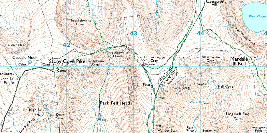
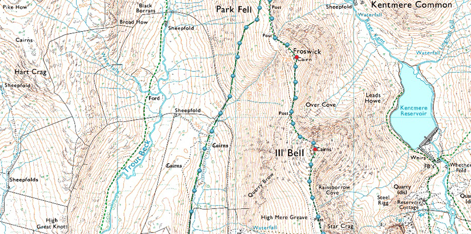
6, Sour Howes - Sallows - Yoke - III Bell - Froswick - Thornthwaite Crag |
| Weather: |
Warm Dry And Sunny With A Slight Breeze Over The Summits. Hazy. Highs of 24°C Lows of 10°C |
| Parking: |
Parking Spaces, Church Bridge, Troutbeck |
| Area: |
Far Eastern |
| Miles: |
11.4 |
| Walking With: |
On My Own |
| Ordnance Survey: |
OL5 |
| Time Taken: |
5 Hours 30 Minutes |
| Route: |
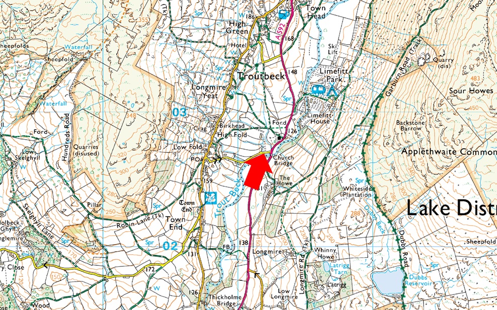
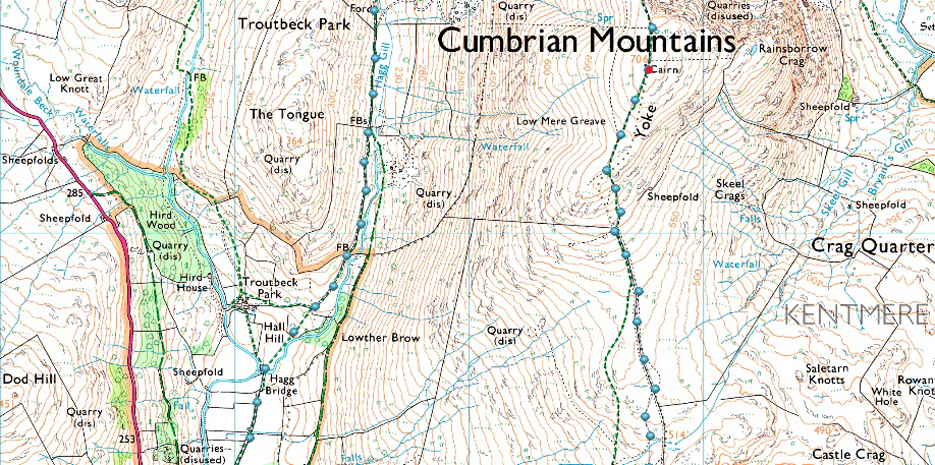
Church Bridge - Garburn Pass - Sour Howes - Moor Head - Sallows - Top of Garburn Pass - Yoke - Ill Bell - Froswick -Thornthwaite Crag - Scots Rake - Hag Gill - Troutbeck Park - Ing Bridge - Ing Lane - Truss Lane - Troutbeck Church - Church Bridge |
|
| |
|
Parking Details and Map |
|
|
| Nearest Post Code: |
LA23 1PE |
| Grid Reference: |
NY 412 202 |
| Notes: |
The parking spaces at Church Bridge can be found between Jesus Church and Church Bridge, if travelling from the A592 the car park will appear on the left immediately after crossing Church Bridge. This is a small car park popular with walks around Troutbeck or the higher fells of the III Bell ridge meaning availability can be tight during peak seasons. Parking is free. |
|
| |
|
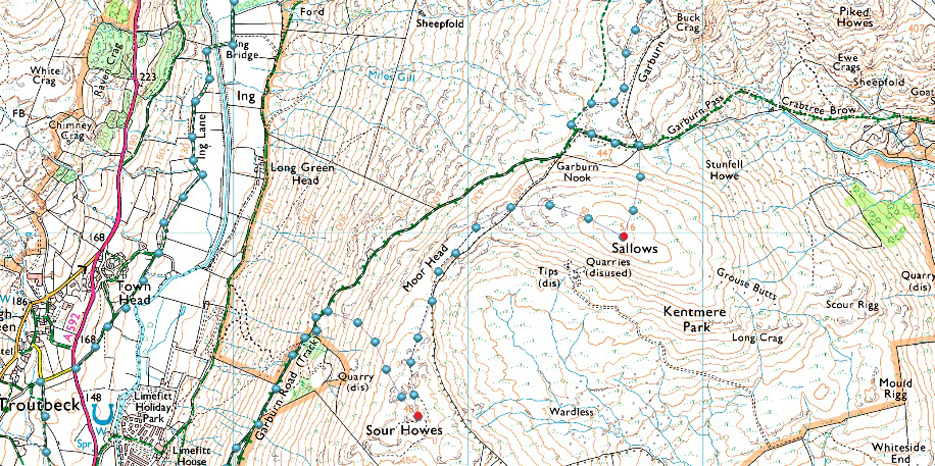
Map and Photo Gallery |
|
|
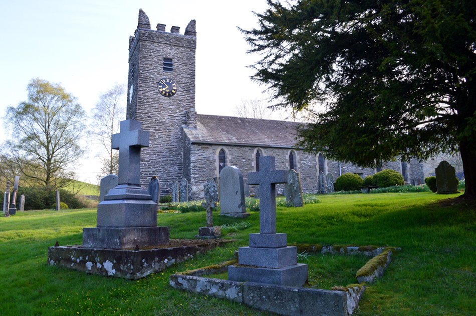 |
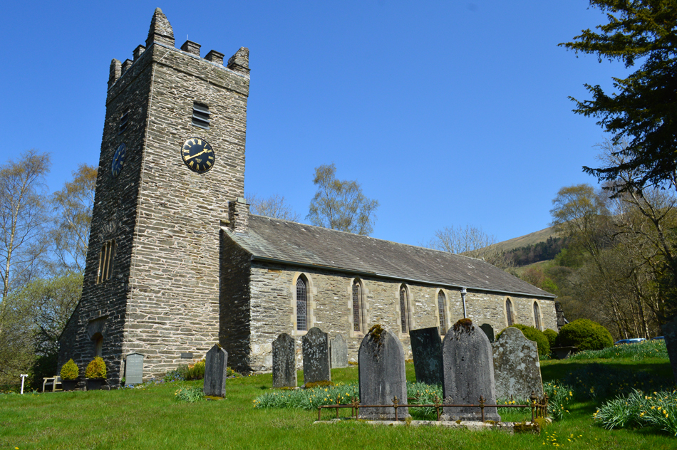
| Jesus Church, Troutbeck 07:50am 10°C |
I had no issues with the Bank Holiday traffic and arrived in Troutbeck earlier than expected at around 07:40am. There was only one other car at the parking spaces at Troutbeck Bridge who's owner was loading gear into his pack and 'mornings' are shared. Beneath the canopy of trees alongside Trout Beck the morning air is cool and to take the nip away I add a soft shell jacket, why I did this still baffles me as I removed it ten minutes into the walk. The guy was still kiting up as I locked my car and I wondered of his route, happen like me, he's heading for the Garburn Pass. I left the car and headed for the Church yard who's famous daffodils are by now starting to wilt a little which was a shame, reckon I should of had my Troutbeck urge some weeks ago! After taking a few snaps I left the Church yard and headed right again and through the trees as I crossed Troutbeck Bridge I could still see the chap kiting up, by eck he's on some expedition I thowt.
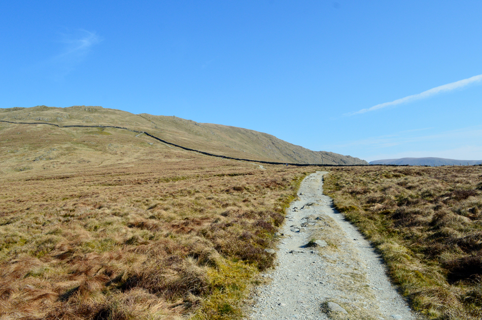
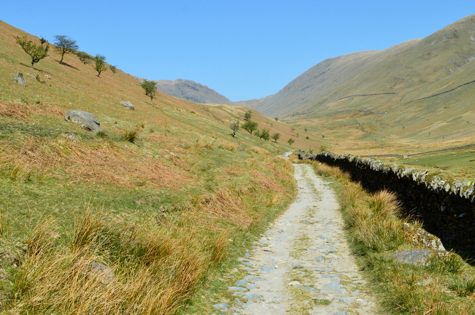
After crossing a deserted A592 I started the steady climb out of Troutbeck on the Garburn Pass, a canopy of trees overhead keeps me cool while I passed through The Howe as morning light pierced through the tree branches while Lambs Ba'h to their hearts content on the other side of a stone wall. Its time for todays first of many stops just a few minutes after leaving the car, I really should do this more often. |
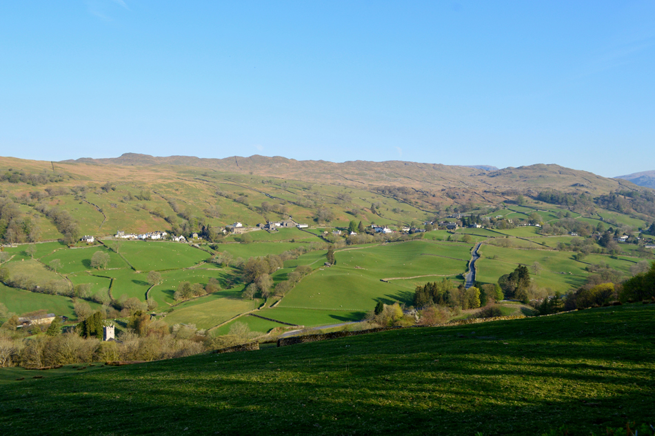 |
| The view over Troutbeck towards Wansfell Pike and The Hundreds. |
Now free from the trees I have this undisturbed view over Troutbeck including the Church down below. I've only been walking for the best part of ten minutes but already I'm starting to feel the heat so off comes the soft shell and up go the sleeves. It was at this point I recorded a short clip which I shared to my Facebook page which isn't something I would normaly do but I felt everyone in my phone should see and hear the delights of the country side from Troutbeck this morning. |
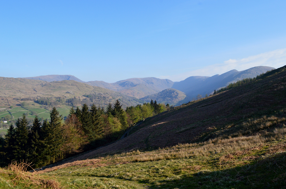 |
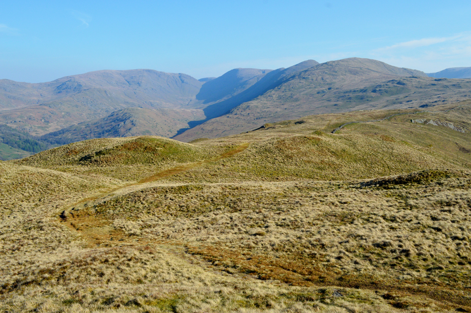
| A high level view of Red Screes, Caudale Moor, Thresthwaite Mouth, Thornthwaite Crag and the Ill Bell Ridge. |
| Before I started my ascent on Sour Howes from the familiar sty above the pass I'm joined by the fellow from the car park and Hi's are again exchanged "are you heading for High Street he asked?" no not today I replied as I shared my route "I'm heading for High Street he said, them I'm going to come back over Thornthwaite, Caudale Moor, drop down to Kirkstone Pass then head up Red Screes then Fairfield, I'll then drop down into Grasmere and get the bus back" flippin eck I smiled, that's some bloody route your walking "aye he says, I've got the time so why not" |
 |
| A rather hazy view towards Windermere from the ascent of Sour Howes. |
| After crossing a second sty the steep ascent on Sour Howes began while Red Highland cattle grazed to my right. This was my first long distant view which was hampered by haze which has been lingering over Lakeland for a few days now. The haze tends to trap the heat which I'm feeling to the full extent during this short, yet steep ascent on Sour Howes. |
 |
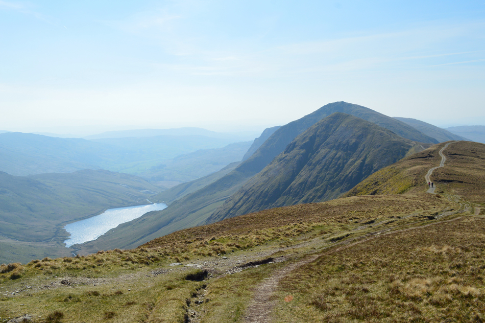
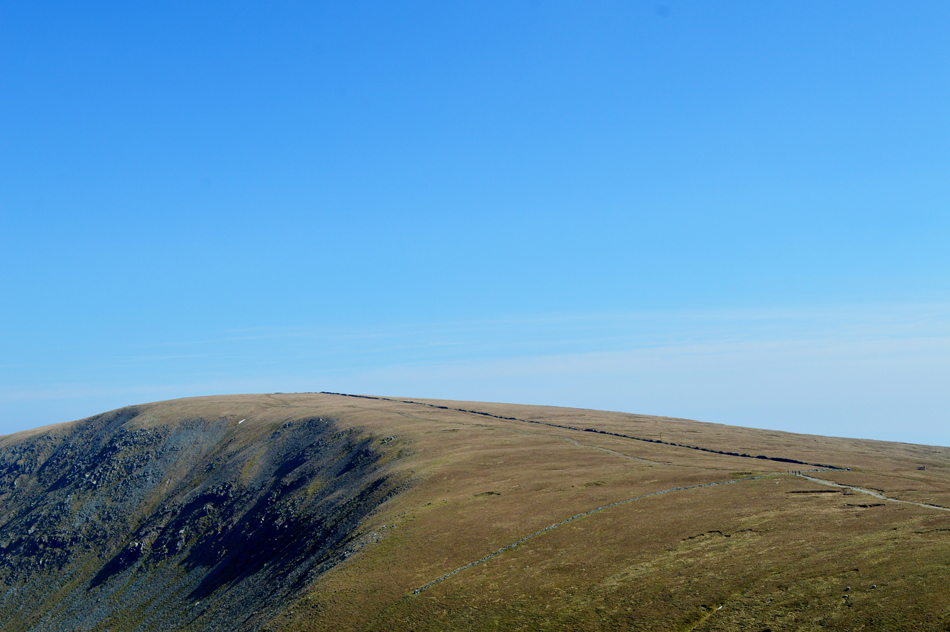
| Caudale Moor, Troutbeck Tongue, Thresthwaite Mouth, Thornthwaite Crag and the Ill Bell Ridge from Sour Howes summit. |
| The Troutbeck valley below is still in shadow for now but in a few hours time I'll be walking through the valley under glorious hot sunshine. |
 |
| Crossing Moor Head towards Sallows. |
| Solitude at its finest. |
 |
| Looking back at Sour Howes from Moor Head. |
| Fantastic hill walking territory. |
 |
| Sallows summit. |
| Accompanied by the sound track of Skylarks overhead I arrived at the grassy rampart that marks the summit of Sallows while remembering my last visit were I was joined by David on a cold, wet Autumnal day and unlike back then I am able to down pack and soak up the solitude before I hit the III Bell ridge in few minutes time. |
 |
| Yoke and Castle Crag and the top of the Garburn Pass from the descent of Sallows. |
From the summit of Sallows I followed a prominent path north and within minutes I had a fine view of the Garburn Pass below, I count an incredible sixteen walkers heading for Yoke must of whom are walking in pairs short distances apart, below two more walkers are about to cross the top of the pass followed by two more out of shot on route from Kentmere and its not 09:00am yet.
Its going to be a busy one. |
 |
| Yoke is ahead. |
| I too crossed the top of the Garburn Pass at the same time the two walkers emerged from the Kentmere side, it was a father with his teenage daughter who instead of following the main path followed a narrow path alongside the fence and soon I had lost sight of them. Four of the sixteen walkers I had seen are then passed, the rest I had no chance of catching up who I lost sight of as they reached the summit shoulder. |
 |
| Yoke summit. |
I had created some distance between myself the other walkers and by the time I reached the summit shoulder I passed two young girls who are getting up from a rest. |
 |
| Looking back over Rainsborrow Cove from the ascent of III Bell. |
| From the descent of Yoke I was expecting to see hoards of walkers crossing the ridge but was surprised to find those who I had seen earlier were about to make their summit on III Bell, I was still caught between the two girls and and the two chaps seen in this photo which meant photo opportunities were hampered slightly as I didn't want to appear to be taking shots so close that you could see peoples faces. |
 |
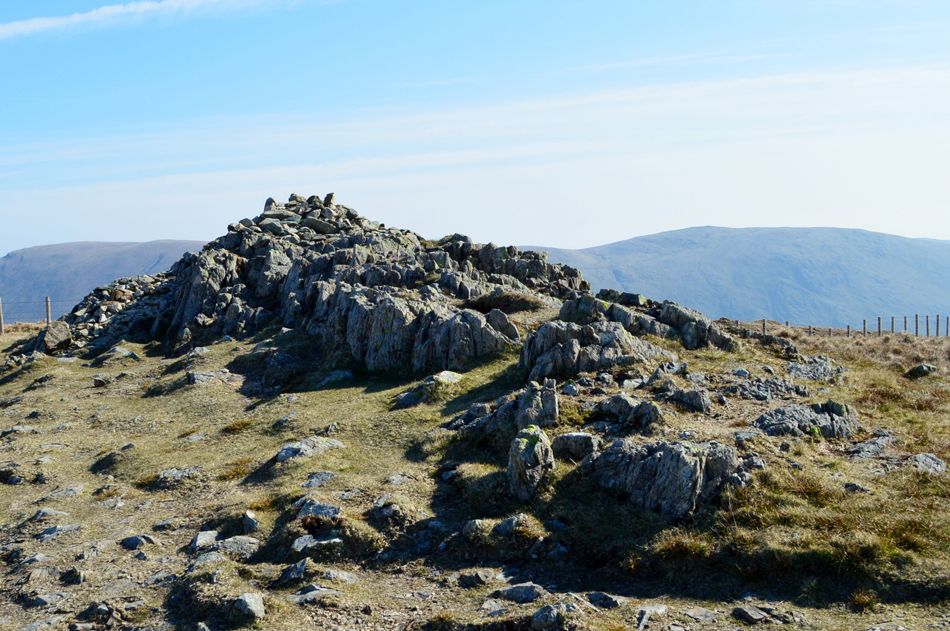
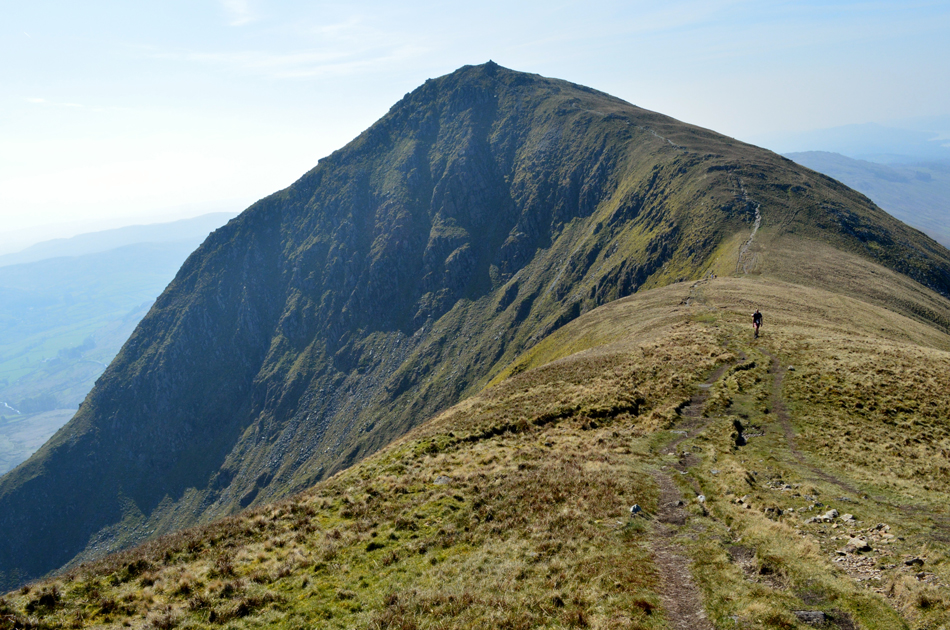
| III Bell summit. |
| I somehow managed to catch up a second couple not far from III Bell summit then flanked left at the summit shoulder finding that the this cairn has recently been rebuilt leaving III Bell with its famous three cairned summit once again. The summit area was busy and by now I was out of breath but after finding the ridge between III Bell and Froswick deserted I decided to make a go for it and hopefully I may even find the summit of Froswick to myself. |
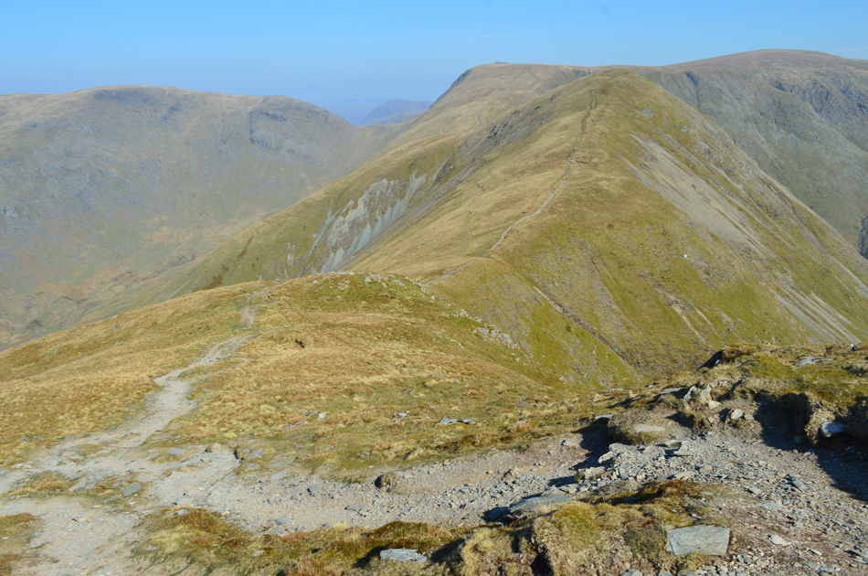 |
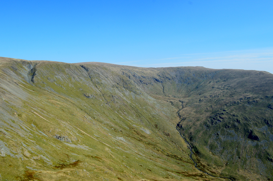
| Caudale Moor (Stony Cove Pike) Thornthwaite Crag, Froswick and High Street from the descent of III Bell. |
| |
 |
| Looking back on Over Cove towards III Bell's East ridge and III Bell. |
Despite it only being mid-morning the temperature was by now in the early twenties and the going was tough with a hot sun bearing down which was a far cry from last Monday on Blencathra were the only burn I was recieved was wind burn.
I think its time I slowed things down a little. |
 |
| Froswick summit cairn. |
| I slowed my pace and took in the steady ascent of Froswick in my own stride and I was soon caught up by a trio made up of two chaps and a woman who I appeared to Australian or possibly South African (I find it hard to tell between both accents!) I was lazying around at the summit and over heard them as they pointed out surrounding summits which told me they were on the Kentmere Horseshoe walking in a clockwise direction, they appeared to be in a rush for some reason so I let them descend before me. |
 |
| Descending Froswick with views of Caudale Moor (Stonycove Pike) Thresthwaite Mouth and Thornthwaite Crag. |
| |
 |
| Mardale III Bell seen above Hall Cove. |
This photo was taken off path after deciding all this sunshine and fantastic views were too good to waste so I de-shouldered my pack, picked a nice spot of dry grass and just listened to the wind for a few moments.
Bloody magic. |
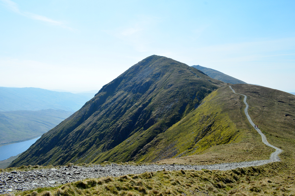 |
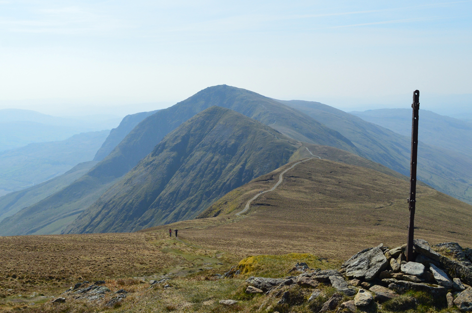
| Froswick and III Bell. |
| Seen as I start my ascent on Thornthwaite Crag. That's Kentmere Reservoir down below but you didnt need me to tell you that. |
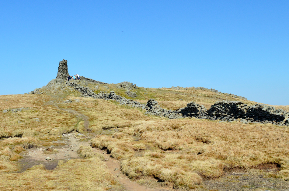 |
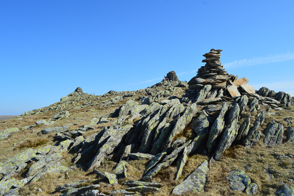
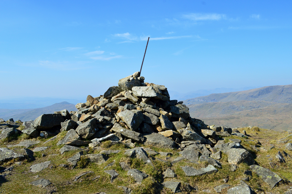
| Thornthwaite Crag summit. |
| I took in the steady climb and soon Thornthwaite Crag's impressive beacon drew closer. |
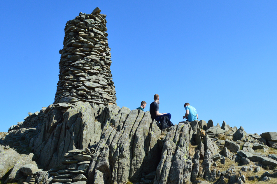 |
| Thornthwaite Crag summit beacon. |
| I reckon its been a good twenty minutes since my last stop so I think I deserve another. |
 |
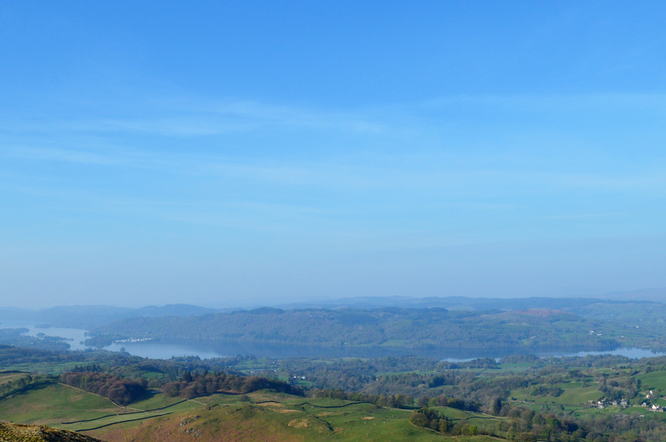
| My beloved High Street from Thornthwaite Crag. |
The summit of Thornthwaite Crag was busy, in fact it was as busy as I'd ever seen but that didn't stop me finding a quiet spot shy east of the summit were I once again soaked up the atmosphere accompanied by the odd call from a Skylark, a gentle breeze, and views of my beloved High Street. |
 |
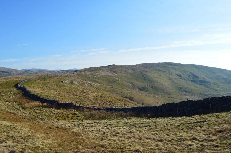
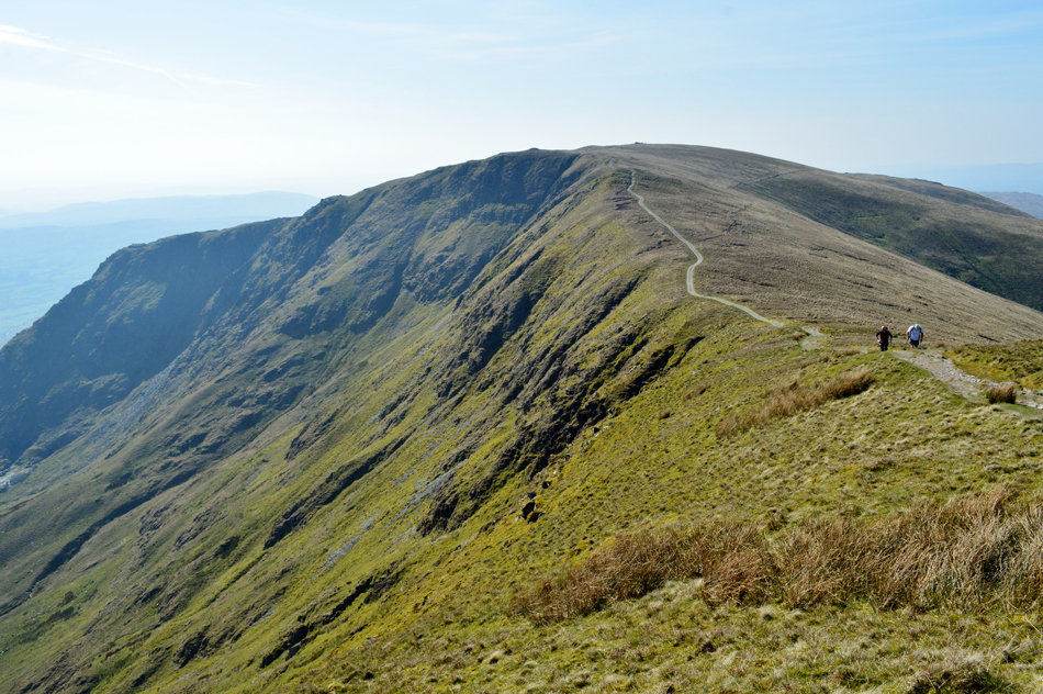
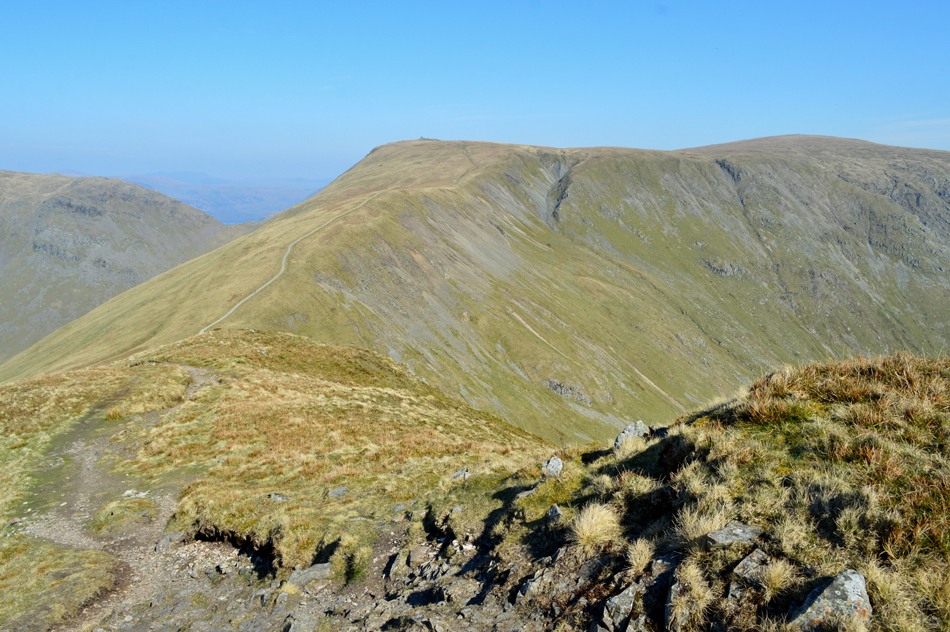
| The III Bell Ridge south of Thornthwaite Crag. |
| Its time to say farewell to the III Bell ridge as I prepare to descend into the Troutbeck valley, this old fence post marks the start of the path into Troutbeck known as Scots Rake. |
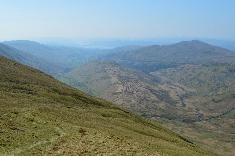 |
| Wansfell and Troutbeck Tongue from the descent of Scots Rake. |
| Named after this route was used by Scottish raiders and looters during the Eighteenth century. |
 |
| Troutbeck Tongue and Wansfell Pike seen as I near the end of my descent into the Troutbeck Valley. |
There was no need to rush so I took my time during this descent passing a couple then a lady walking on her own, they were to be the last people I'd see until I arrived back at my car.
To have Troutbeck to myself was todays goal of which I thought was unachieveble due the busy Bank Holiday crowds, I'm going to savor every step through this valley and who could blame me. |
 |
| The view back towards Stonycove Pike, Thresthwaite Mouth and Thornthwaite Crag. |
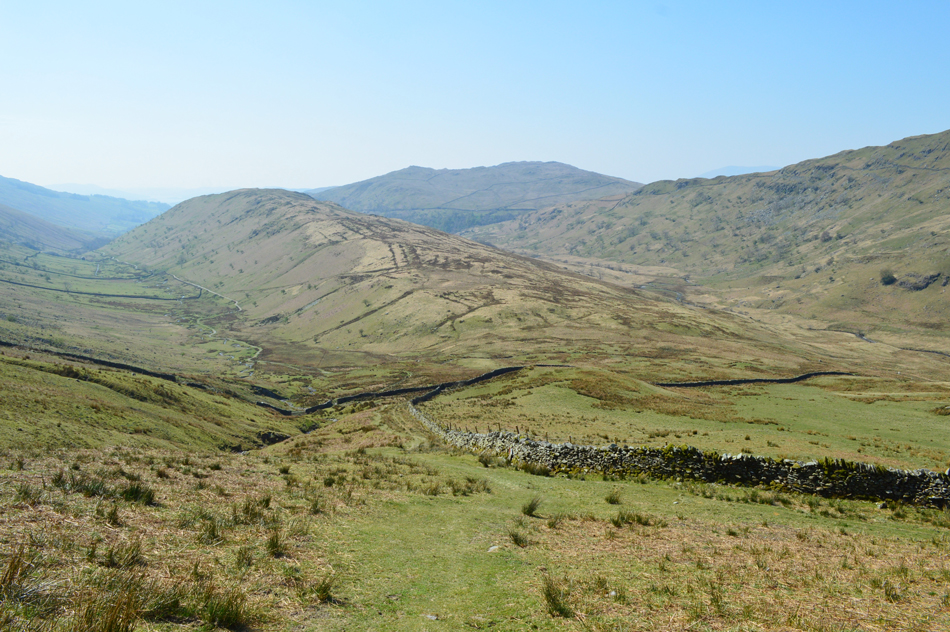
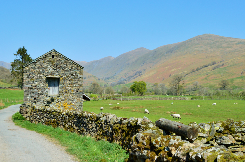
| A rather dry Hagg Gill accompanied my walk through the valley passing grazing sheep while a hot sun shone down from above. Not wanting to squander my time I stop for a quick break while I ate my sausage roll which I washed down with generous gulps of Summer Fruits juice. |
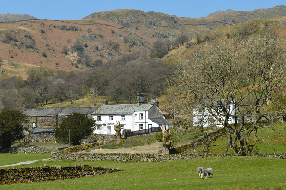 |
| Passing Troutbeck Park Farm. |
| And onto Ing Lane thereafter. |
 |
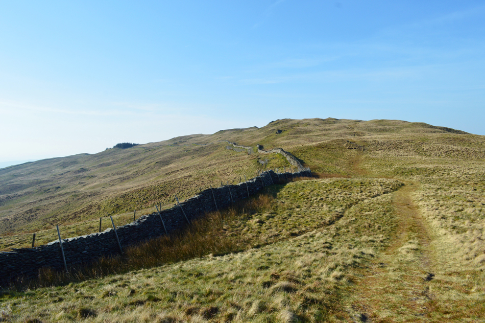
| The III Bell Ridge from Ing Lane, Troutbeck. |
| |
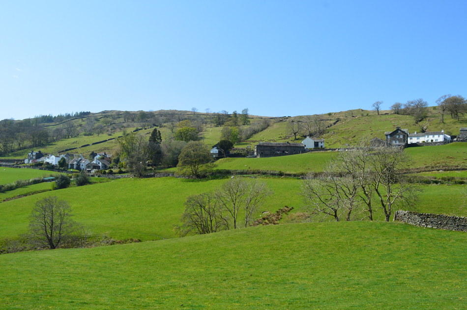 |
| High and Low Fold, Troutbeck. |
The sun continued to scorch my forehead and I for one wasn't complaining after finishing my 2.5ltr Camelbac I started on my third litre of hydration nearing the end of the Ing Lane. Truss Lane was soon reached which rises steadily onto Kirkstone Pass were I emerged into civilization and managed to cross the road without a single car in sight. Instead of heading back down the A592 I continued ahead in the direction of Troutbeck's most famous pub 'The Mortal Man' were I thought about stopping for a pint but it I'm honest I'm way to hot and sweaty to be ordering from a public bar.
I head left and soon the Church tower comes into view then the graveyard were I started this walk just under five and a half hours ago. |
|
| |
| Back to top |
 |
|