|
Helvellyn via Striding Edge |
 |
 |
10th May 2019 |
 |
|
Weather wise it hadn't been the best of weeks so far but Fridays forecast showed promise with sunshine forecast during the morning before turning overcast with possible hail/snow flurries for the afternoon. With this I set off for Patterdale to climb Helvellyn with the possibility of including Catstye Cam and Birkhouse Moor.
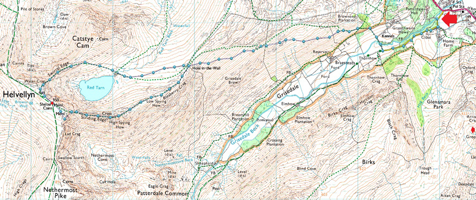
There was no reflection of yesterdays rain with the ground dry underfoot as I walked through a tree lined Grisedale Lane whilst the morning sunlight pierced through the branches overhead, on the whole, this looked like it was going to be a belter of a day. On reaching the Grisedale valley I turned right and crossed Grisedale Beck and started the steady ascent towards Hole-in-the-Wall. By now things were really starting to heat up with a certain mildness in the air which caused me to down layer.
I was met by a cool breeze as Hole-in-the-Wall appeared in the distance so I added my jacket and continued my ascent passing a gent I'd seen from lower down the path earlier were 'mornings' are shared continuing with my ascent only stopping once I was on t'other side of Hole-in-the-Wall. The blue sky I had been observing was making way for light cloud and that cool air had turned to a cold nip. |
|
| Wainwright Guide Book One |
 |
| The Easten Fells |
Hole-in-the-Wall
The gap in the wall -a familiar object on this route. It is a sight during the long climb along the flank of Birkhouse Moor, and it is always reached with thankfulness.
|
 |
|
|
|
| |
|
Overview |
|
|
| Ascent: |
2,950 Feet - 899 Metres |
| Wainwrights: |
Helvellyn |
| Weather: |
A Bright Start, Light Winds And Heavy Snow From Mid Morning. Highs of 12°C Lows of 8°C |
| Parking: |
Patterdale Football Club |
| Area: |
Eastern |
| Miles: |
7 |
| Walking With: |
On My Own |
| Ordnance Survey: |
OL5 |
| Time Taken: |
4 Hours 30Minutes |
| Route: |
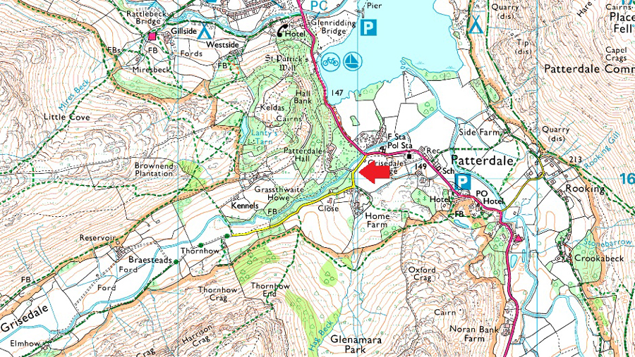
Patterdale - Grisedale Lane - Grisedale Brow - Hole-in-the-Wall - Striding Edge - Helvellyn - Swirral Edge - Red Tarn - Hole-in-the-Wall - Patterdale |
|
| |
|
Parking Details and Map for Patterdale Football Club. |
|
|
| Nearest Post Code: |
CA11 0NW |
| Grid Reference: |
NY 389 160 |
| Notes: |
Home to Patterdale Football and Cricket clubs this car park is large enough to accommodate up to twenty cars although at the time of writing this surface work was being carried out which limited spaces, a donation of £3.00 is required to park. The donation box is located to the left of the entrance gate. |
|
| |
|
Map and Photo Gallery |
|
|
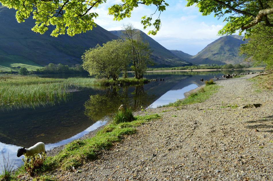 |
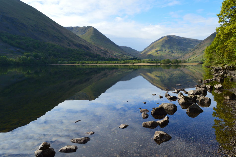
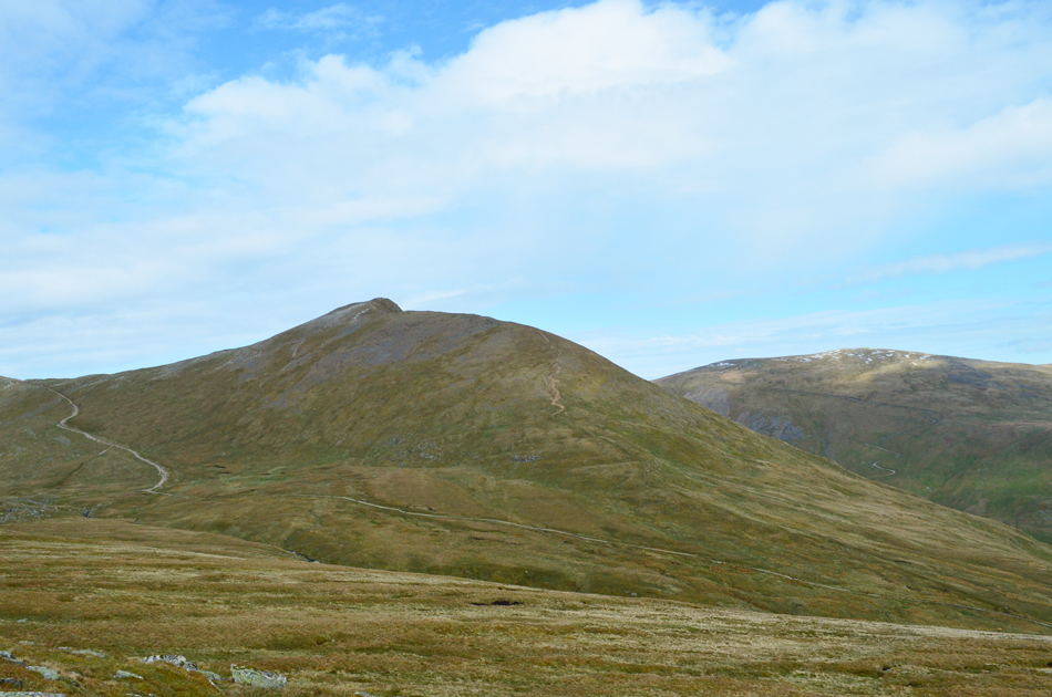
| Hartsop Dodd, Caudale Moor, the top of Kirkstone Pass and Middle Dodd from Brothers Water 08:00am 07:55am |
| I was making good time and after spotting a serene looking Brothers Water from the road I couldn't resist stopping to take a few photos. |
 |
| Hartsop Dodd and Caudale Moor reflecting into Brothers water. |
| It was lovely and warm here at the Brothers Water I almost didn't want to return to the car but Helvellyn won't climb itself or so the saying goes. |
 |
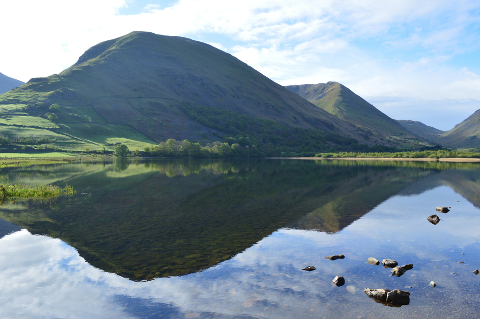
| One last photo before I head for Patterdale. |
| Tomorrow I'll be up on Middle Dodd with David and Rod with an ascent via the steep north ridge which is todays excuse to take it easy. |
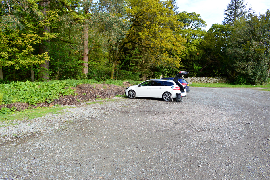 |
| Patterdale Football Club car park, Patterdale. |
Up until yesterday evening I didn't know that Patterdale Football Club had opened up their car park charging just a £3.00 donation to park. The car park is found a short distance up Grisedale Lane and I can only imagine that access is dependant on the football/cricket seasons. I was thrilled to say the least because parking in Patterdale can be difficult especially through peak seasons so I'd like to take this opportunity to thank Lake District walker Lesley H for letting me know about parking here. |
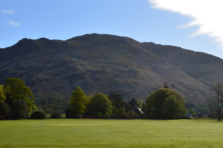 |
| Place Fell seen over Patterdale pitch. |
| Which also doubles as a cricket pitch for Patterdale Cricket Club. |
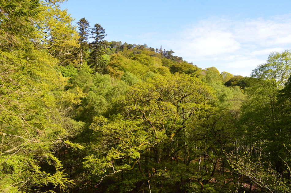 |
| Keldas tree tops. |
| |
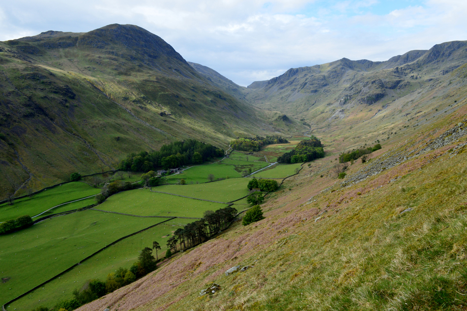 |
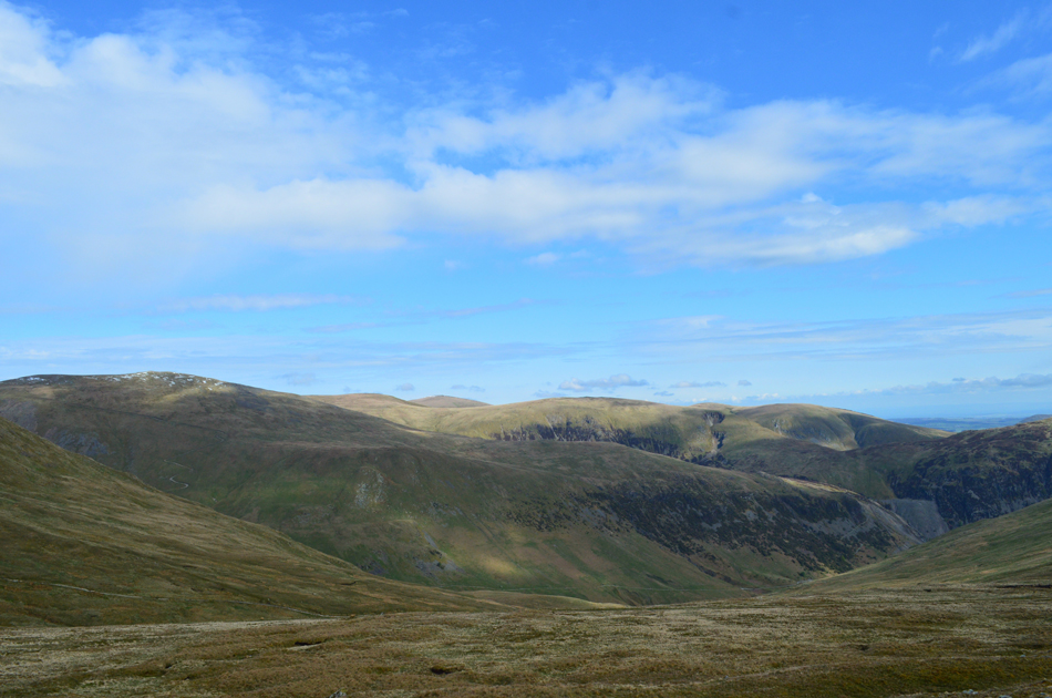
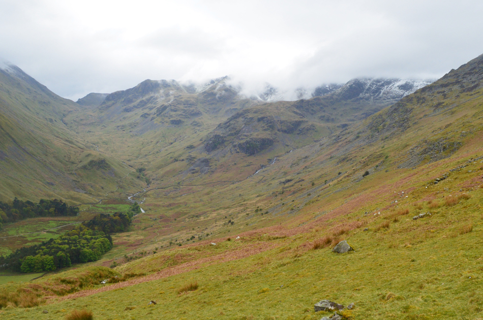
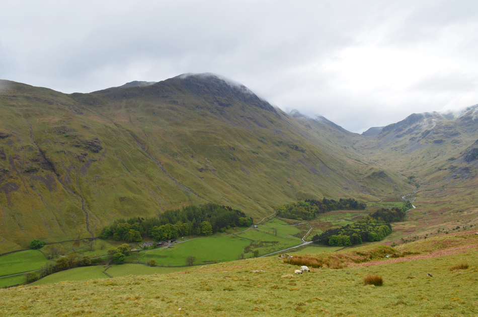
| The view over the Grisedale valley towards St Sunday Crag, Seat Sandal, Dollywagon Pike, Ruthwaite Cove and Nethermost Cove. |
| Having turned left at the top of Grisedale Lane I crossed Grisedale Beck via the stone bridge and stopped to take the view up the valley while soaking up the morning sunshine. I was still wearing my soft shell but I knew it wouldn't be for long. From the bridge I opened a gate onto the open fell side and began the steep climb towards the start of the ascent for Hole-in-the-Wall. |
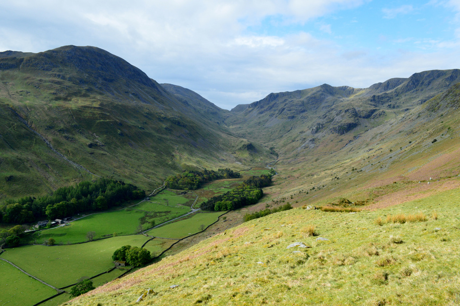 |
| The Grisedale Valley. |
| |
 |
| Birkhouse Moor from Hole-in-the-Wall. |
| It was just below Hole-in-the-Wall when I overtook the fellow I had seen from a distance who had stopped to sort out something on his mobile phone and 'mornings' were shared, I continued with the last of the ascent below Hole-in-the-Wall, then crossed over and took a well earned few minutes whilst taking in the surrounding views. |
 |
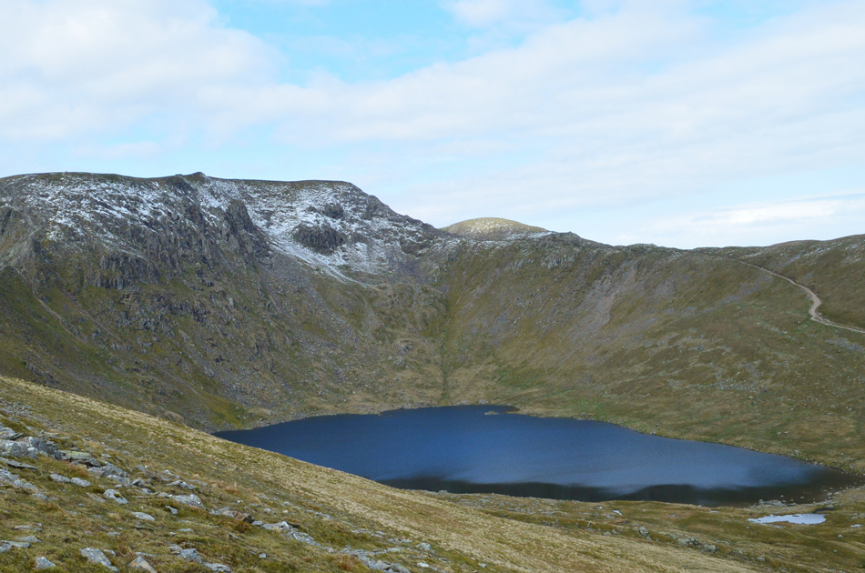
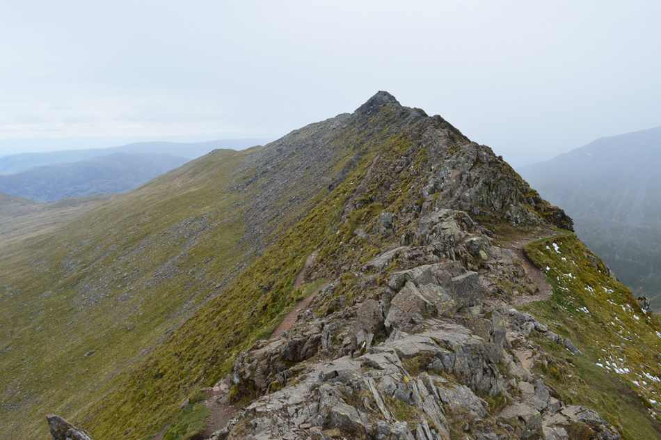
| A close up of Striding Edge, Helvellyn, Red Tarn and Swirral Edge from Hole-in-the-Wall. |
| Well, it looks like those blue skies are about to make way for high level cloud which was no reason for concern so I started to make my way over to Low Spying How. |
 |
| Catstye Cam and Raise as I make my way towards Low Spying How. |
| |
 |
| The sunshine hasn't completely disappeared just yet. |
| Here's Raise, Stybarrow Dodd, White Stones and Hart Side. |
 |
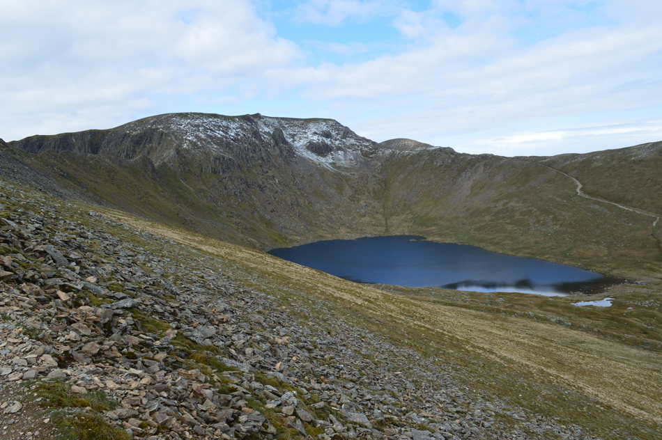
| Helvellyn, Red Tarn and Swirral Edge. |
| With Raise beyond. |
 |
| The wider view. |
| With Striding Edge appearing over on the left. |
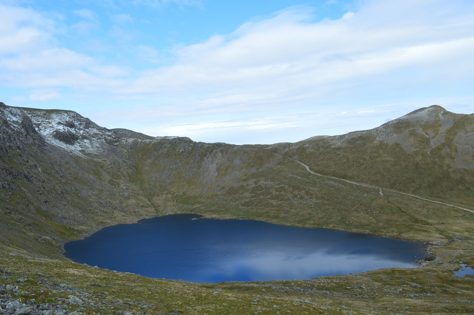 |
| Red Tarn, Swirral Edge and Catysye Cam. |
| Blue skies still relfecting over Red Tarn, for now anyway. |
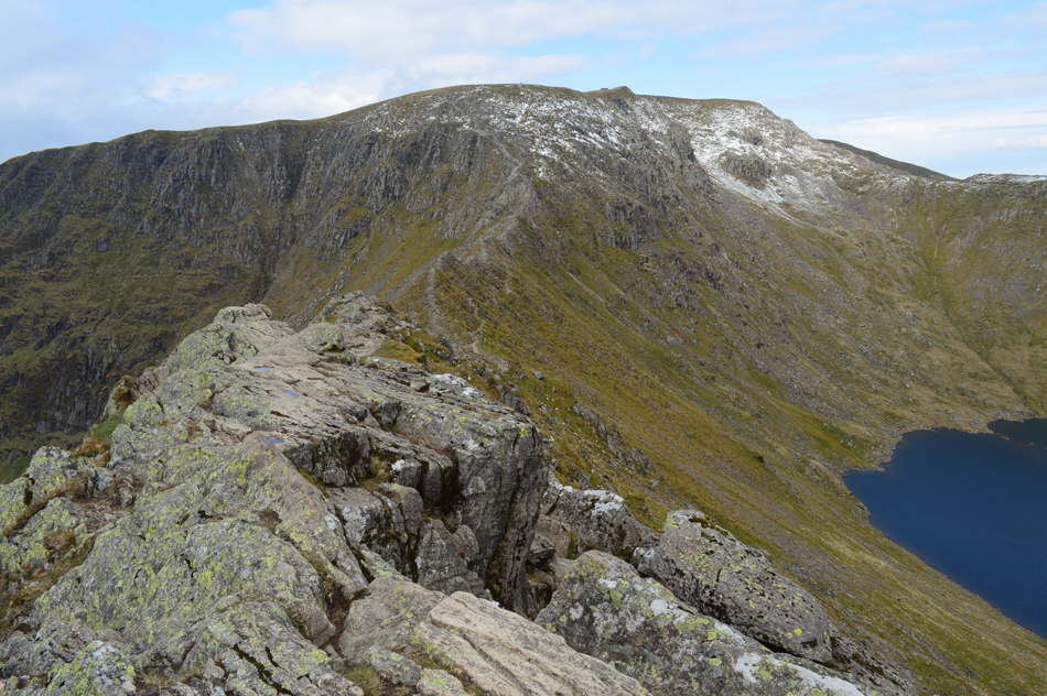 |
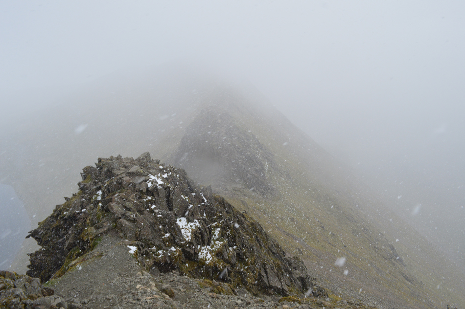
| Helvellyn and Striding Edge from High Spying How. |
Under darkening skies I started the traverse of Striding Edge but stopped as I wanted to add my gloves, it was here the chap I had overtaken below Hole-in-the-Wall caught me up and asked "had I done Striding Edge before?" and "would I mind" if he acompanied me as it was his first time "absolutely no bother I replied"
As it turned out his name was Les and Les was from Chester-Le-Street in the north east. |
 |
| Living on the edge. |
| |
 |
| The Dixon Memorial, Striding Edge. |
Les had mentioned he knew of the Dixon Memorial and wondered of its whereabouts, as it so happened we were just above it so we dropped down to take a closer look, it was about this point I noticed that thick cloud had descended onto Dollywagon Pike and Nethermost Pike, in fact the head of Grisedale was now below cloud in the time it has taken us to reach the Dixon Memorial from Hole-in-the-Wall.
My initial thoughts was to pick up our pace if only so Les could enjoy the views before the cloud beat us to the summit. |
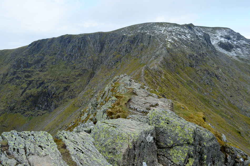
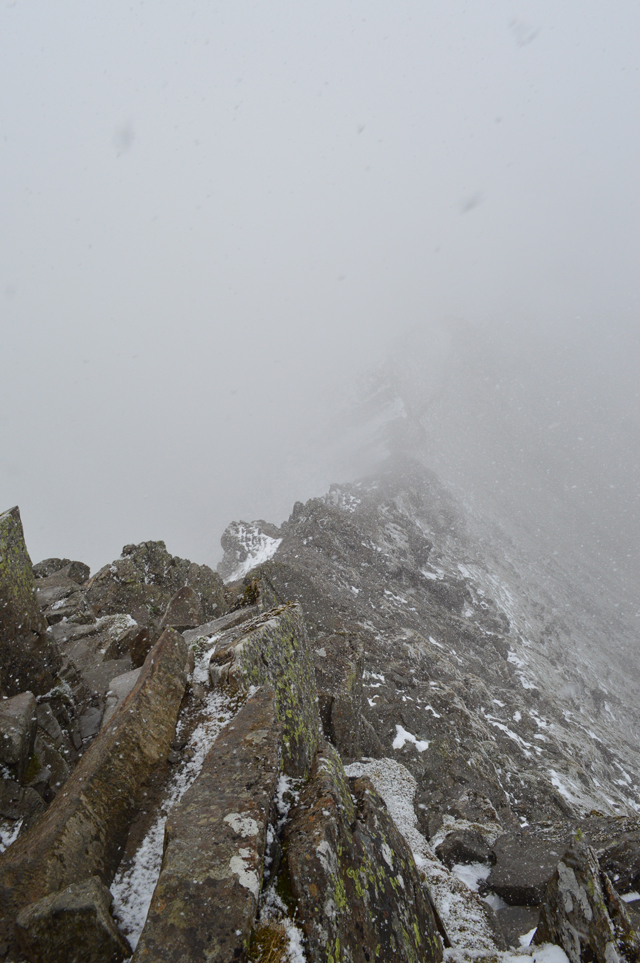
 |
| Looking back along Striding Edge. |
| |
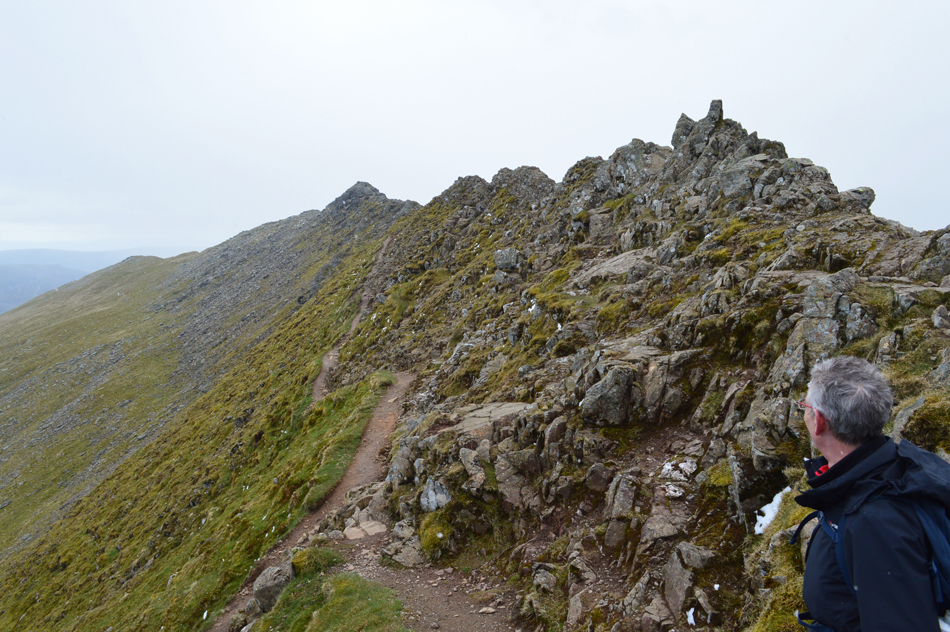 |
| Les making the most of the views. |
| We were close to the Chimney when I noticed snow flurries in the air and with hardly no wind to carry them they didn't pose too much of a threat but with the cloud advancing it was time to negotiate the Chimney before this weather turns. |
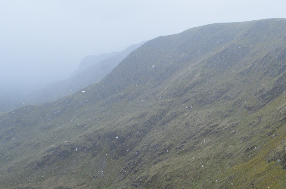 |
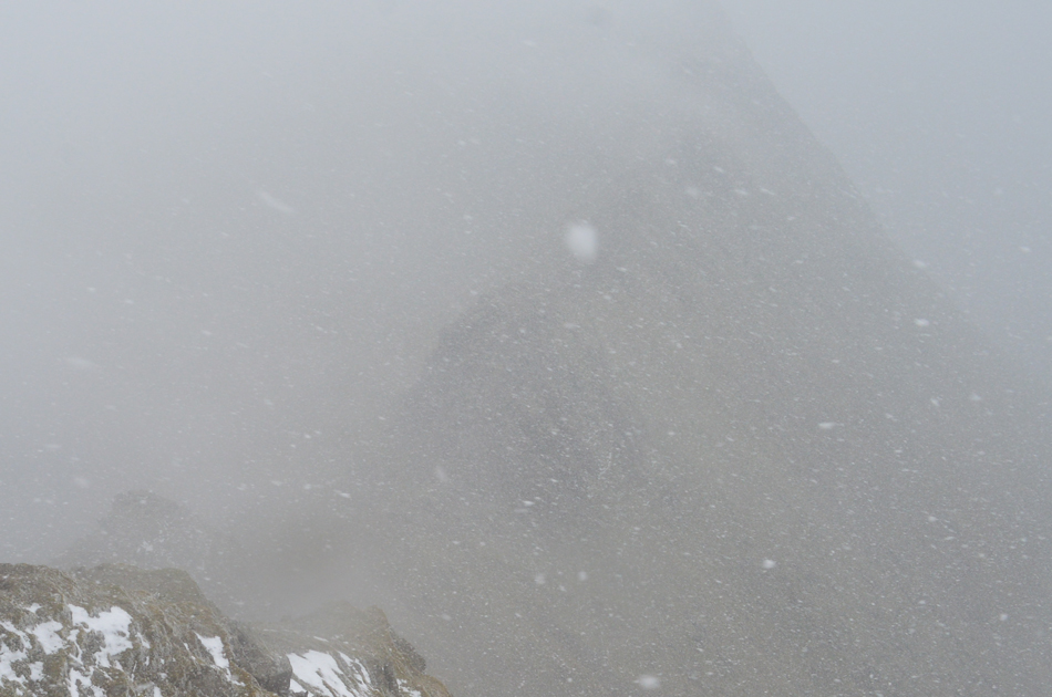
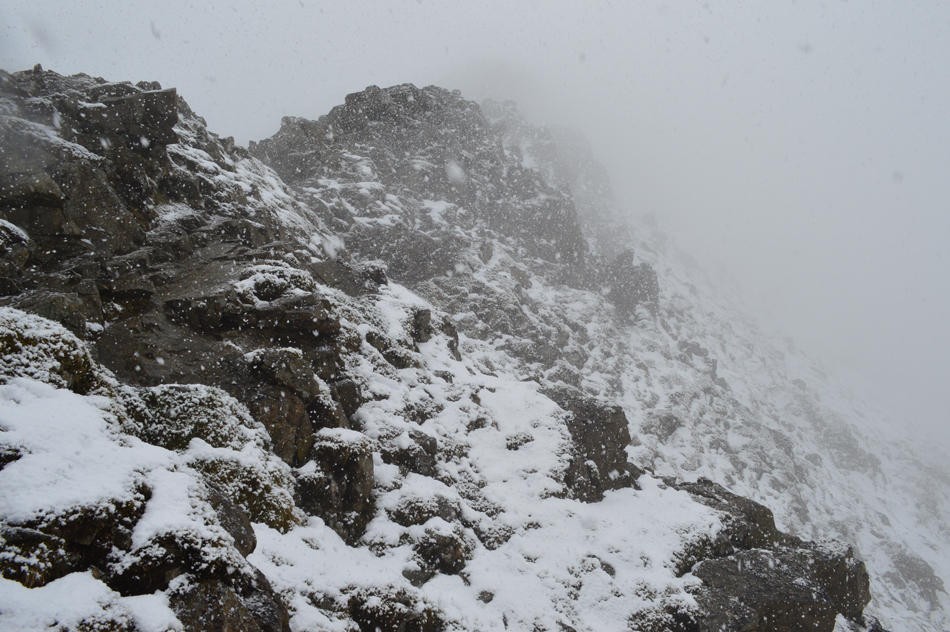
| Nethermost Pike East ridge almost lost in the cloud and snow. |
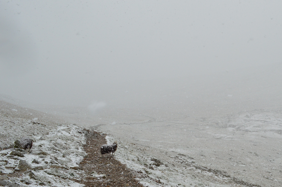
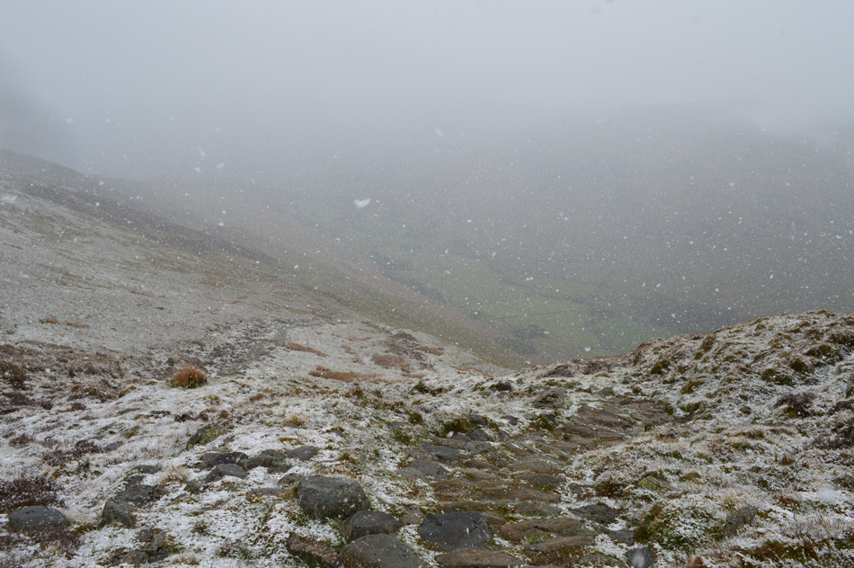
We made our way down from the Chimney at which point alarms bells began ringing, I wasn't so much concerned about the ascent onto Helvellyn summit but how thickly the snow was starting to fall and consequently how wet our descent via Swirral Edge is likely to be. |
 |
| Looking back on the Chimney and Striding Edge. |
| As we start our ascent towards Helvellyn summit. |
 |
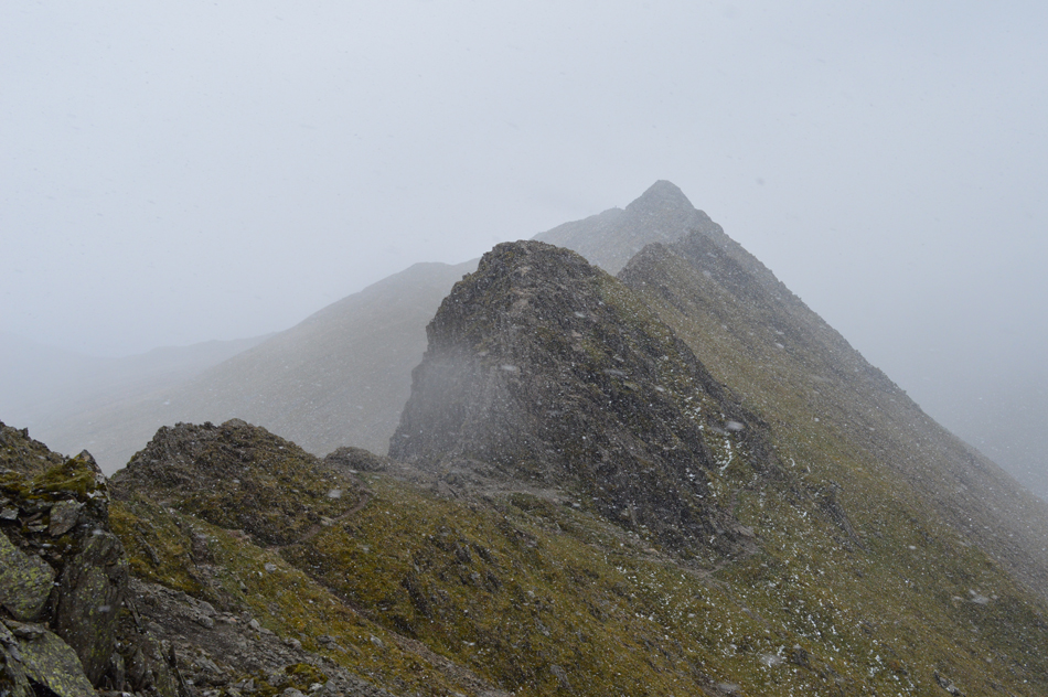
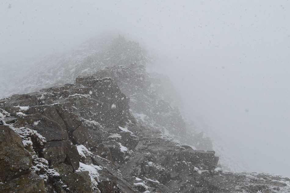
| It looks like we're about to lose visibility. |
| The situation is calm with flowing conversation but inside my experience is telling me we need to summit quickly and evaluate our Swirral Edge descent or even make an alternative descent via the Kepple Cove zigzags. |
 |
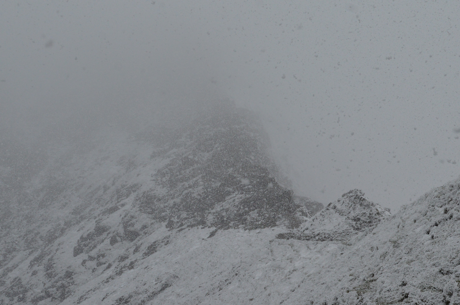
| Blimey. |
| Within the space of twenty minutes we have gone from dry rock and clear skies to heavy snow and almost zero visibility. |
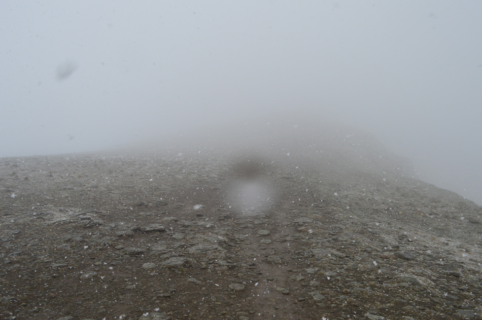 |
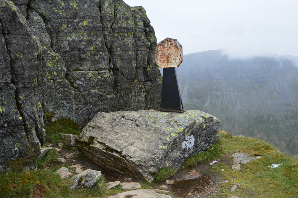
| Helvellyn summit plateau is reached. |
| By the time we reached the Gough Memorial the snow was coming down really thickly and visibility was down to around thirty yards, through the cloud a couple and their dog appeared who appeared to be experienced fell walkers, as the snow settled on our heads we broke out conversation mainly about the snow and how "only flurries had been forecast" |
 |
| Descending Swirral Edge. |
| Where we encountered large patches of old snow which the new snow was starting to settle on. |
 |
| Continuing our Swirral Edge descent. |
| The snow is really starting to stick now and I'm not surprised there's just so much of it, thankfully we don't have far to go until we reach the col below. |
 |
| Looking back up Swirral Edge. |
We had descended the ridge taking extra care on the wet rock and inparticulary were the snow was starting to settle. Through the cloud a young man appears but he's off path soon followed by his partner who was better equipped and ascending via the path, the young man made it clear that he liked to "do things the hard way" or words to that affect but judging by his track suit bottoms and attitude he was totally oblivious to his surroundings and the harm he was putting himself and his partner under. I expressed concern asking after summating Helvellyn which was their chose descent route, they replied 'Striding Edge' Have you done Striding Edge before I asked, they replied with no.
If my facial expression wasn't enough to entice the couple from descending Striding Edge under such conditions nothing else would of worked and with my patience worn thin I left them too it at a point were even Les was in total disbelieve. |
 |
| Looking back up Swirral Edge. |
| The ridge linking Swirral Edge with Catstye Cam was safely reached and I for one could breathe a slight sigh of relief, we had made a tricky, slow and very wet descent in at times zero visibility and with still no signs of the snow letting up we started our descent towards Red Tarn. |
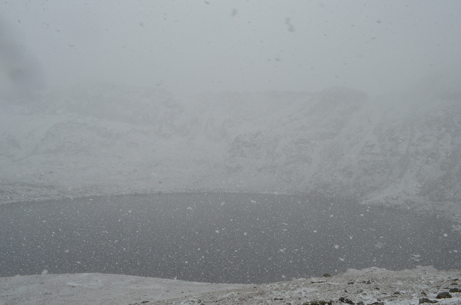 |
| Through the cloud and snow, Striding Edge over Red Tarn. |
| |
 |
| Continuing our descent towards Red Tarn outflow. |
| Through the snow a figure appeared and as we approached we stopped to chat each asking "are we OK" which I feel in such conditions is good mountain conduct/practice. As it turned out this chap was from California and was making his ascent on Helvellyn who then asked "which was the best way to reach Keswick after summiting Helvellyn" "in these conditions I replied, I'd head down Browncove Crags instead of the alternate ridge route over the Dodds" he appeared to be an experienced walker and thanked me for my advice. |
 |
| Starting our descent into the Grisedale Valley. |
| |
 |
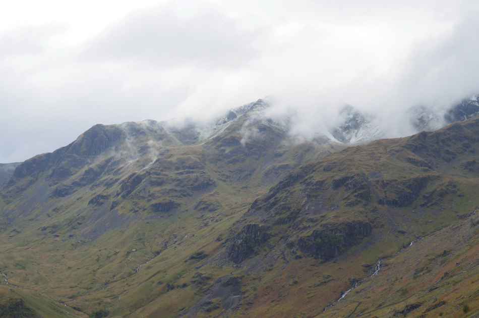
| Cloud lingering over Dollywagon Pike and Nethermost Pike. |
| We started our descent passing a few groups on route to Hole-in-the-Wall and I hoped that despite the snow stopping here at Valley level it had also stopped snowing over the summits of which we couldn't be sure. |
 |
| The Grisedale Valley. |
| With Birks, St Sunday Crag and Fairfield Birks occupying a vast amount of the valley. |
 |
| Lingering cloud over Dollywagon Pike, Nethermost Pike, Ruthwaite Cove and Nethermost Cove |
| As it turned out I'm parked next to Les back at Patterdale Football Pitch so we made the return to Patterdale together whilst looking like two drown't rats going over the highlights of the walk of which there were many, but the one thing that I will always be reminded off is how quickly the mountain weather can change whilst up on the tops which today, even took the experienced by surprise. |
|
| |
| Back to top |
 |
|