|
Parking Details and Map for Bleach Green |
 |
|
| Nearest Post Code: |
CA23 3AS |
| Grid Reference: |
NY 085 615 |
| Notes: |
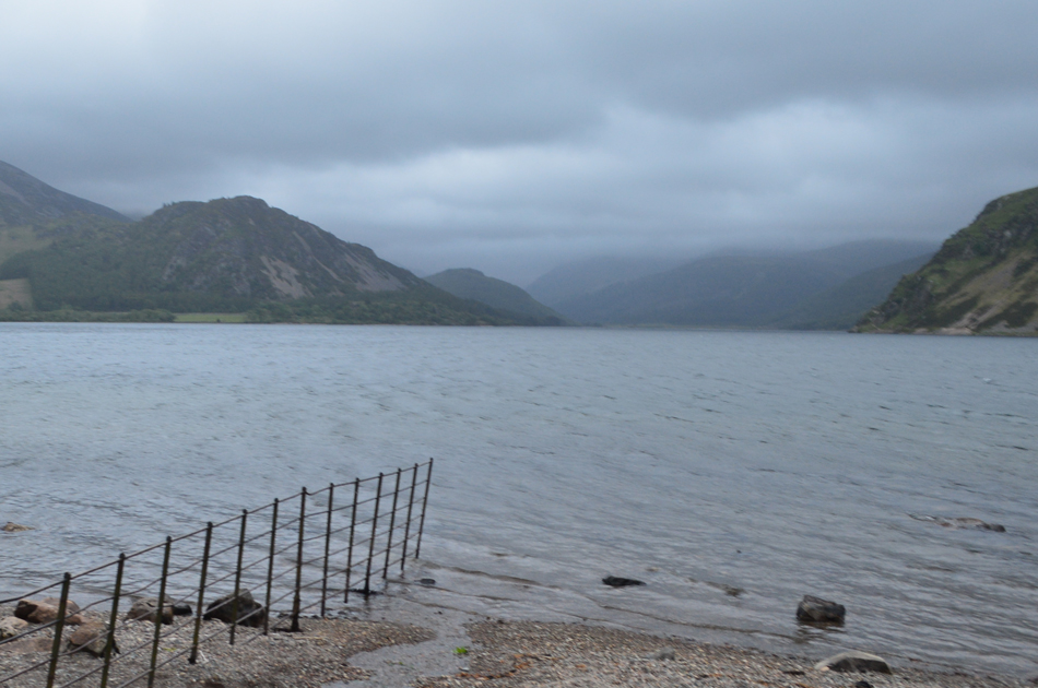
A meduim sized car park found on the western tip of Ennerdale Water where despite its remote location can fill up quickly especially during the Summer months. Parking is free. |
|
| |
 |
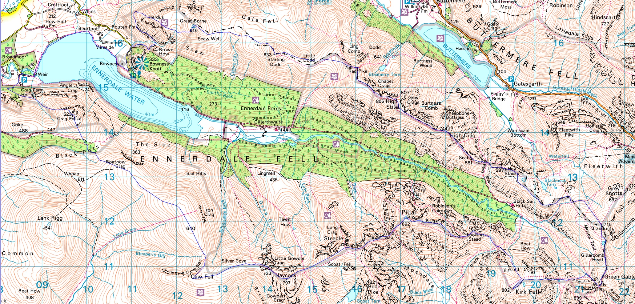
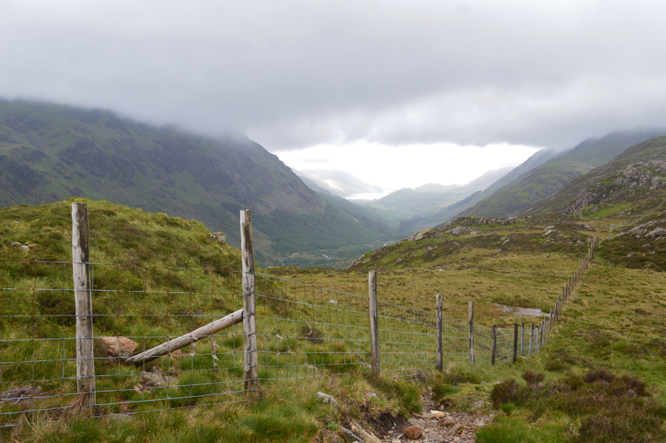
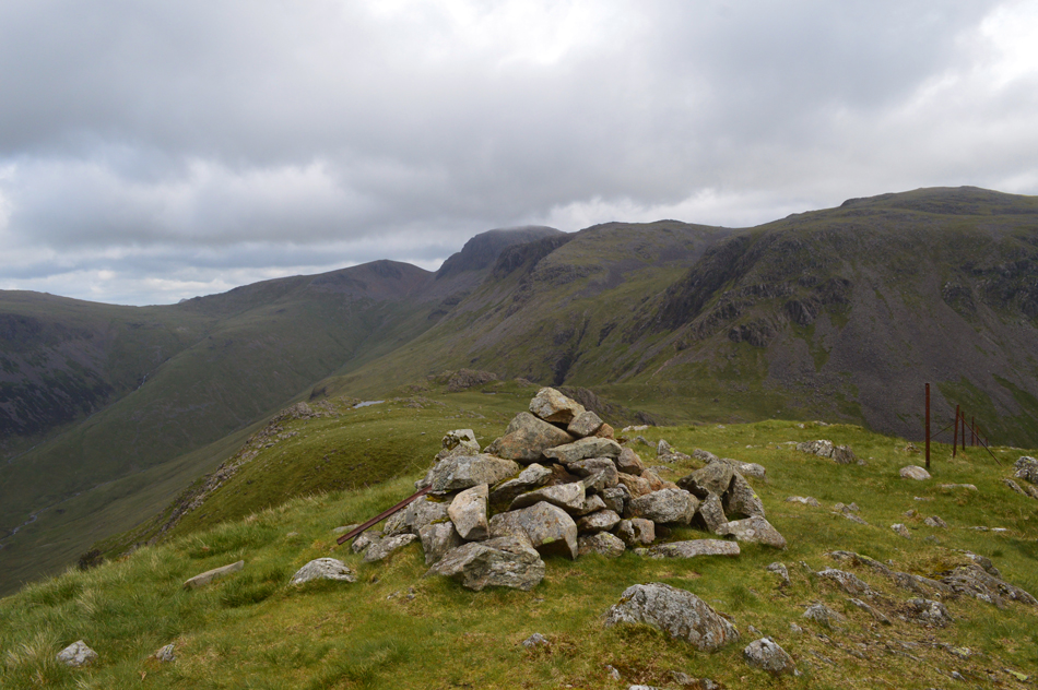
| A quick time check before I leave Bleach Green, Ennerdale. |
| David had ever so kindly let me use his spare room so I arrived on Sunday afternoon and made sure I got a good nights rest ready for my 4:00am wake up call. |
 |
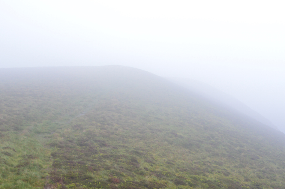
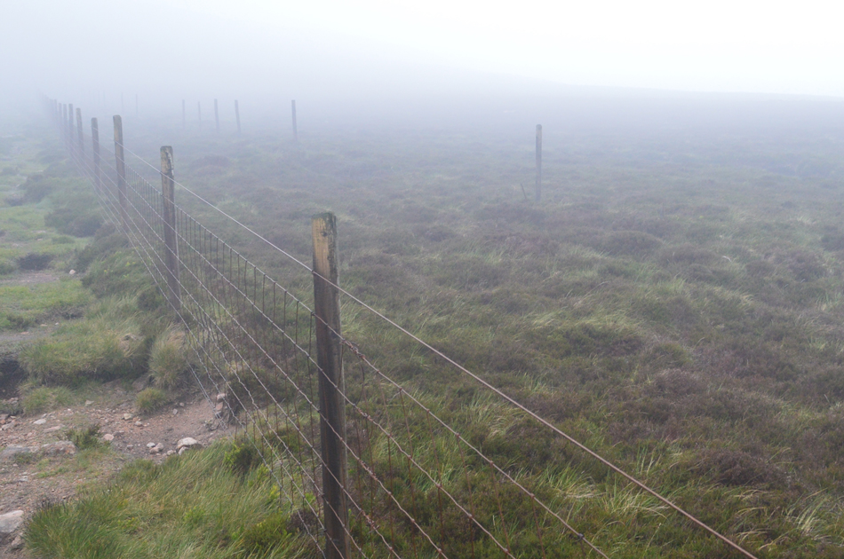
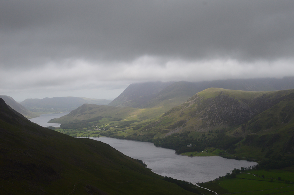
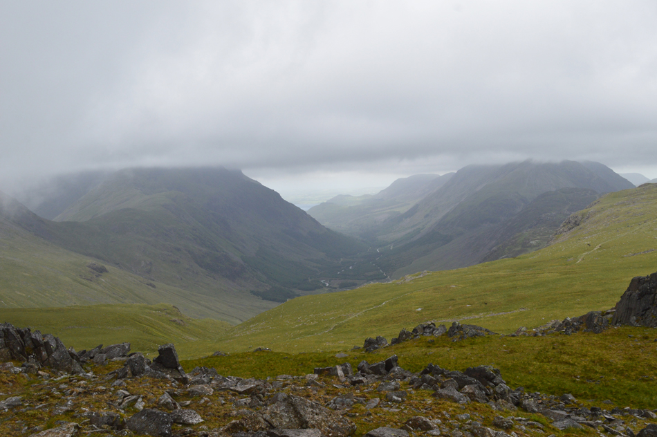
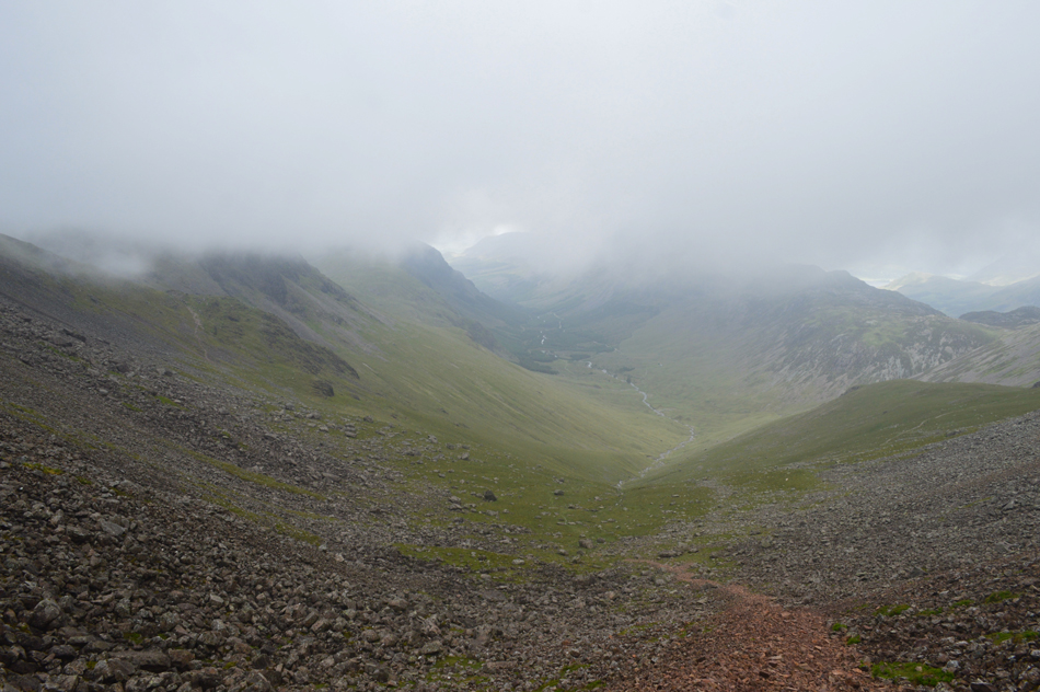
| From the western edge of Ennerdale Water I can see the whole Ennerdale valley is topped with low cloud. |
Which wasn't so much of a shock as the low cloud had been forecasted to clear by mid morning along with the strong winds which had also been forecasted to ease within the next hour or so, that aside I've been around long enough to know that such strong winds don't ease suddenly which right now is causing me a little concern.
I continue around the western tip of the Lake until I arrived at Bowness Cottage. |
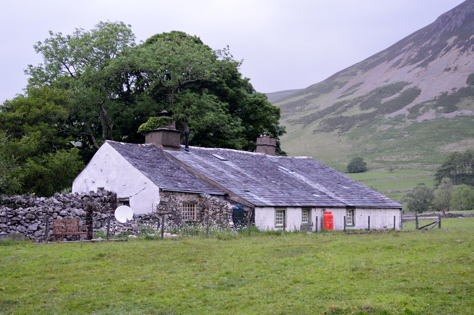 |
| Bowness Cottage. |
| More commonly known as "the cottage with the flat roof" here I take a left along a track and pass the cottage before heading towards Bowness Knott Car Park. |
 |
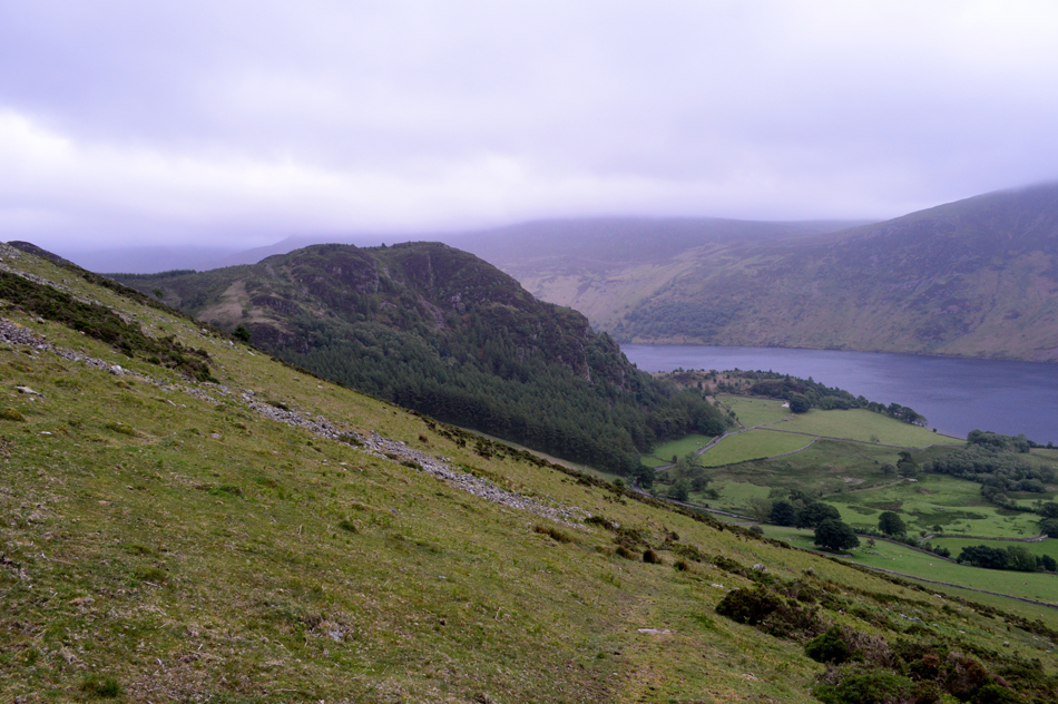
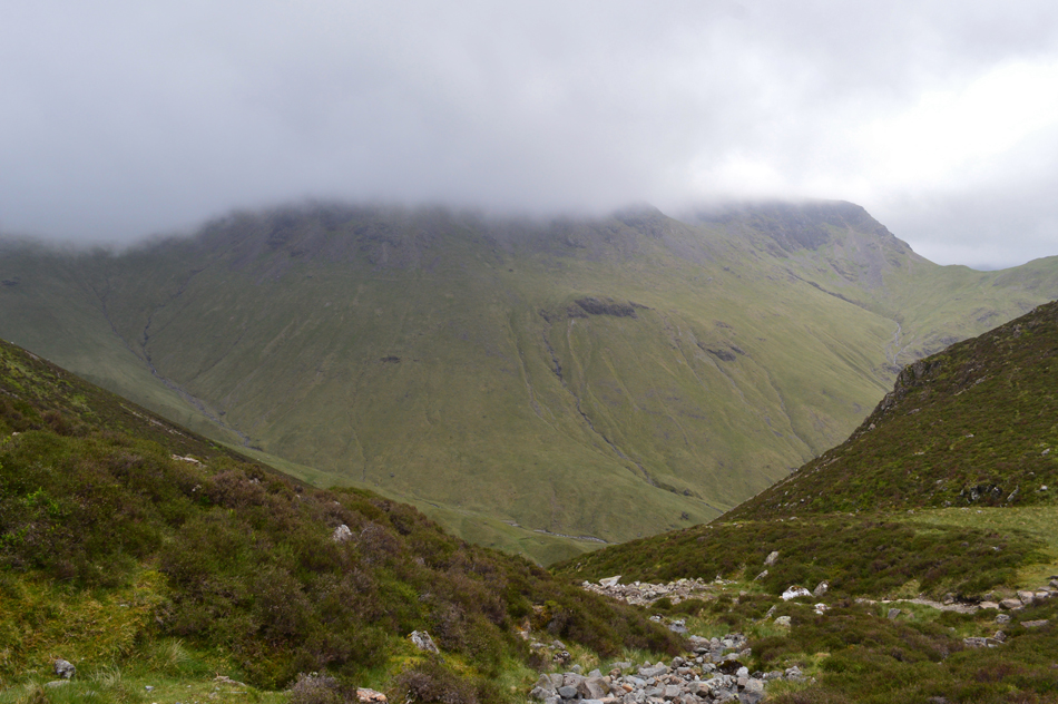
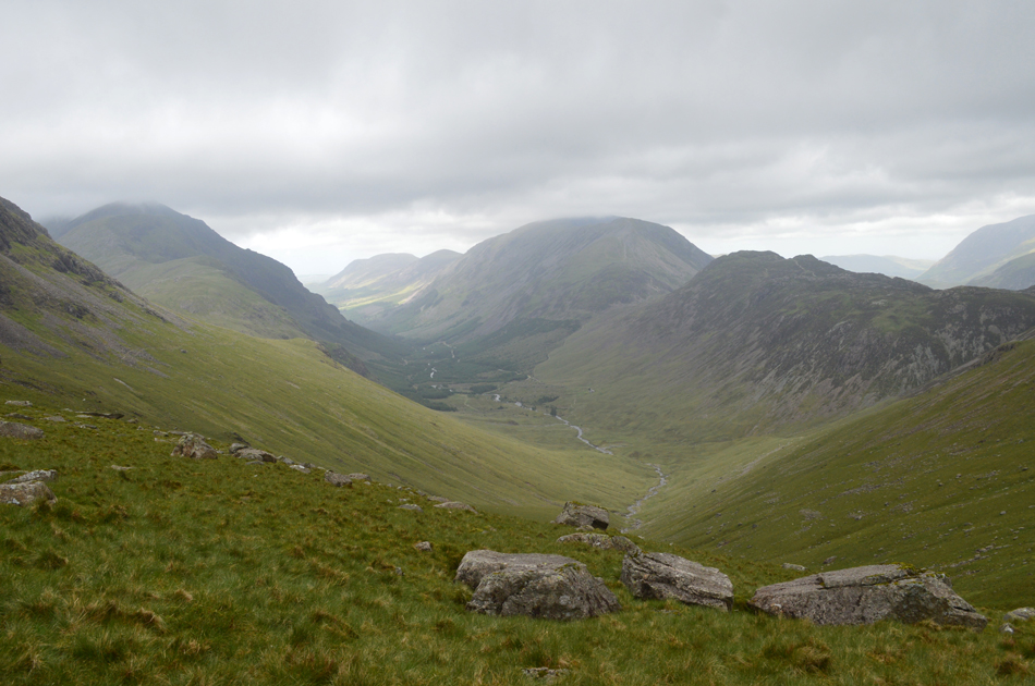
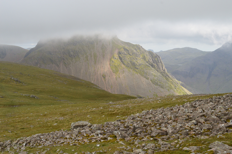
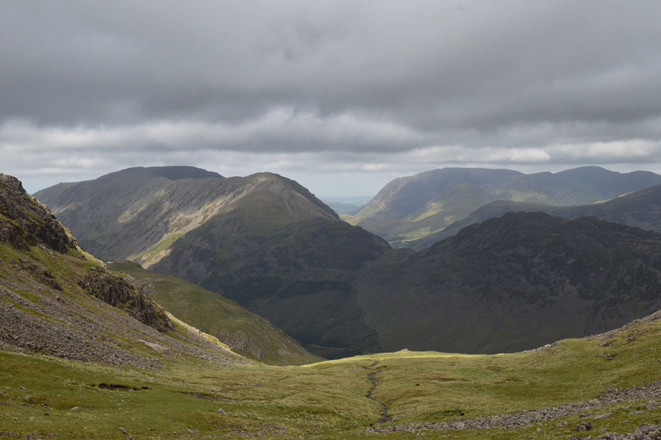
| Looking back on Crag Fell and Ennerdale water. |
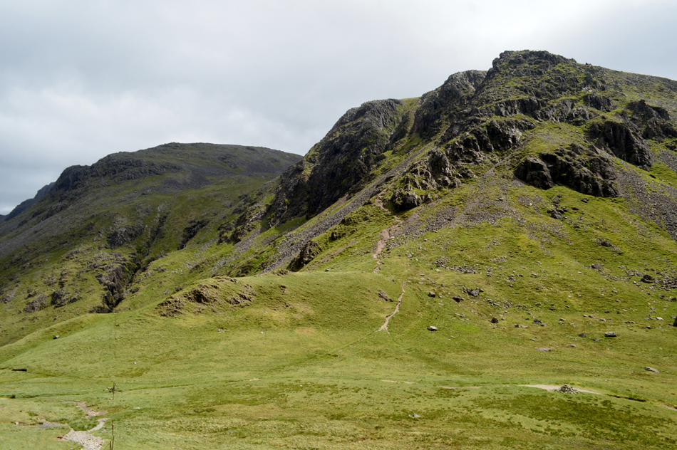
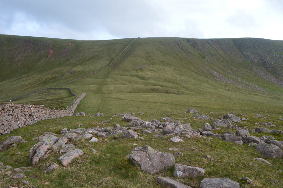
| From Bowness Knott Car Park I take another left and start walking towards Rake Beck whereafter crossing a wooden sty I head steeply towards a terrace path below Herdus. |
 |
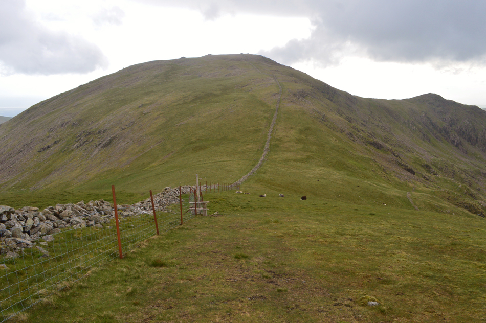
| Pausing to look back on Bowness Knott from the terrace path below Herdus. |
| This route from Bowness Knott onto Herdus was new to me having only ever summated Herdus from Great Borne previously, David the night before had pre-warned me how steep it was, he wasn't wrong! But my increasing concern right now is the wind and how much in strength it is gathering. |
 |
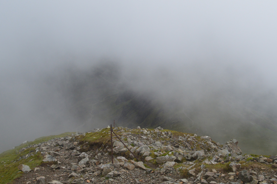
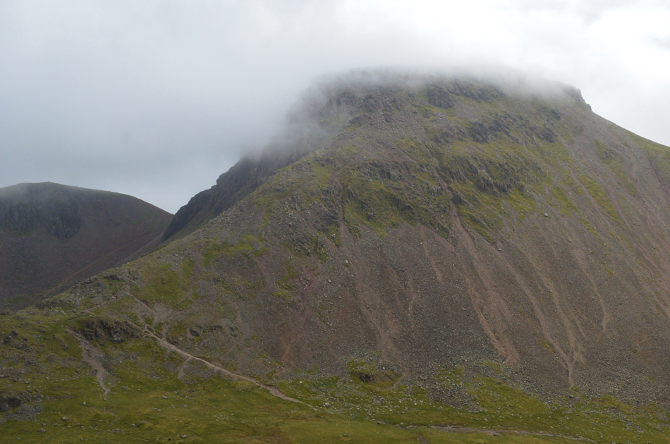
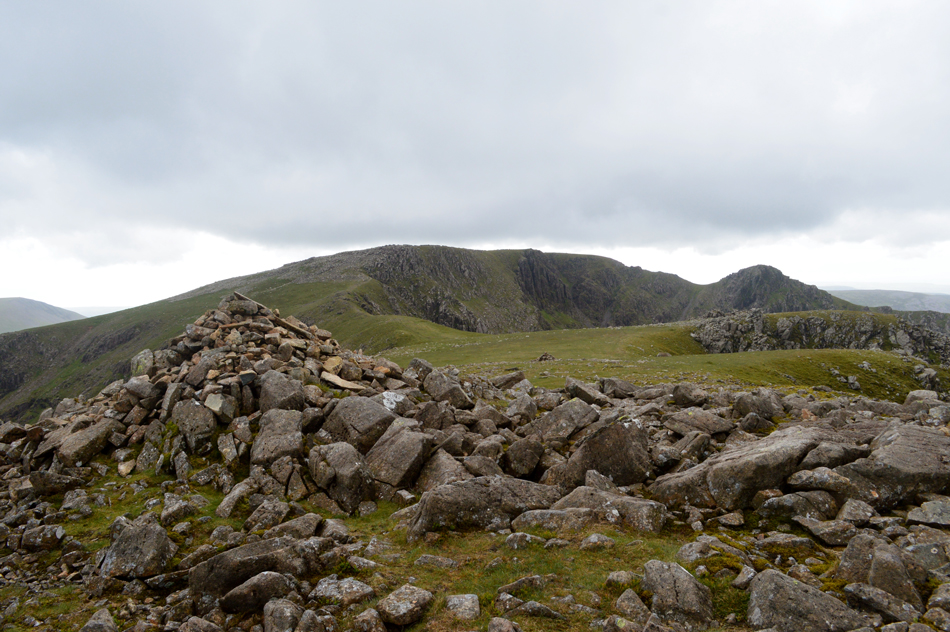
| Herdus summit shoulder. |
The steepness didn't seem to let up and not even the sound of a farmers quad bike below broke my ascent, however upon reaching the summit shoulder I was exposed to the wind at its fiercest so much so after turning into the wind the contents of nose was blown back up my nostrils and into my brain, this not long after the slather had been emptied from my mouth such the fierce gust, the last time I felt like this I'd jumped into the swimming pool as a kid with my mouth open!
My cause for concern meter was at it's highest and I questioned would I be able to continue at all, this before the first of twenty summits was reached. |
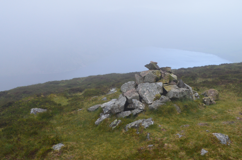 |
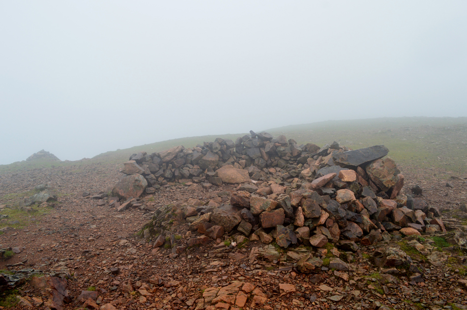
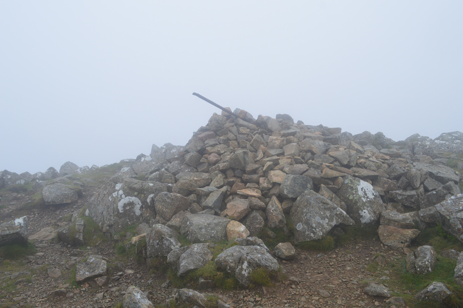
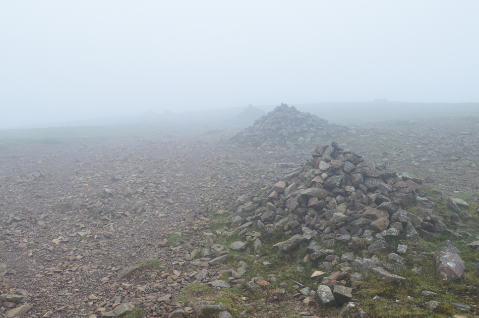
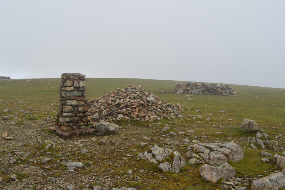
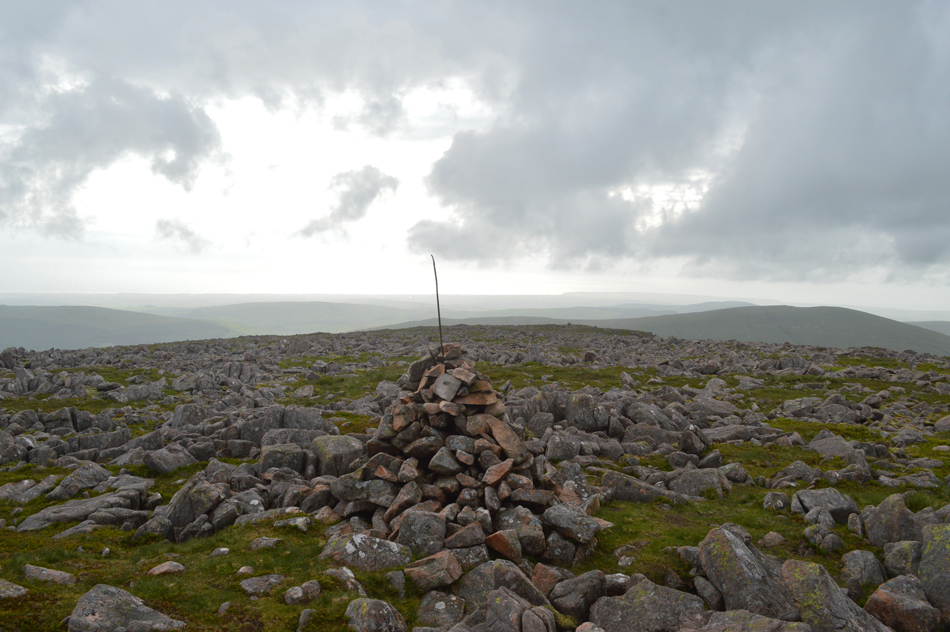
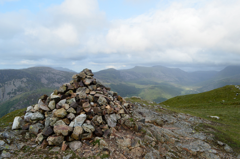
| Herdus summit cairn 6:23am. |
| My saving grace at this moment was that the wind was approaching from the west which meant It was hitting me on my right/rear side, should the winds ease as forecasted my concerns will drop, however if the wind continues to blow as fierce as they are at least I won't be walking face into the wind, these are just a few positives I draw up in order to maintain my morale. |
 |
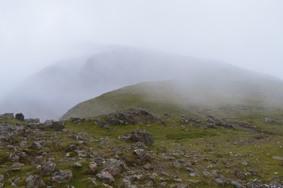
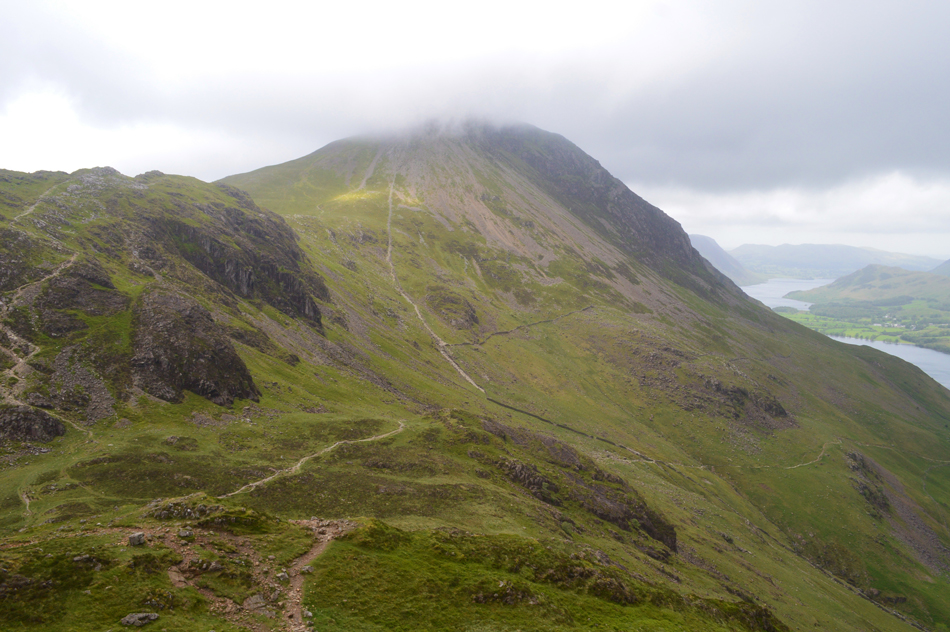
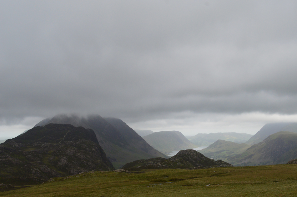
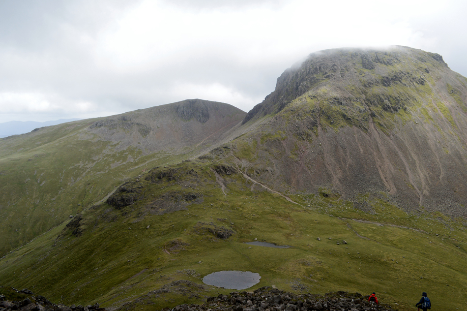
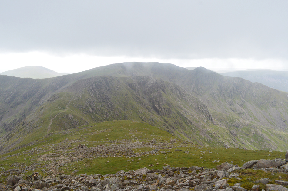
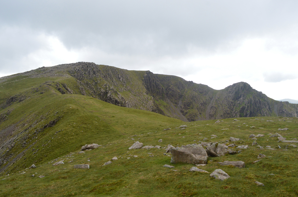
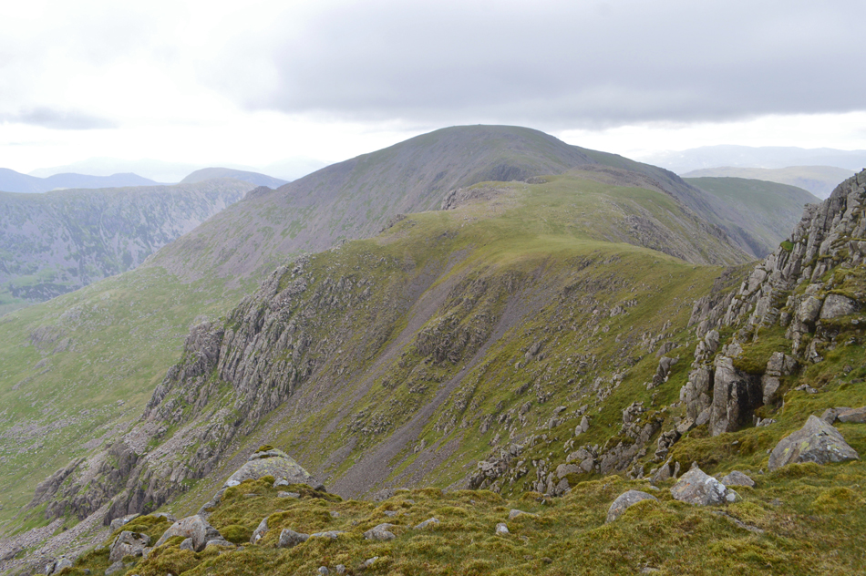
| Great Borne from Herdus. |
Conditions were changing and I had to adjust my mind-set rapidly realising that 'this ain't going to be a camera day' and instead I should just enjoy, and focus at the task in hand.
I down pack in a hollow just behind the summit cairn where I treated my ears to a few minutes silence and I was able to add my hat and gloves where they remained for the entirety of the walk. |
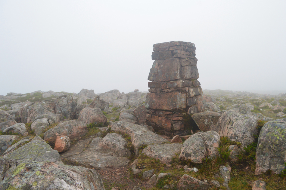 |
| Great Borne summit trig point 6:42am |
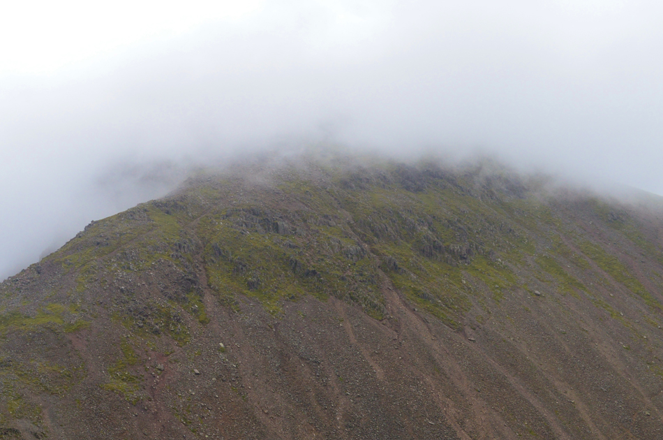
I left Herdus with the wind on my back which was some comfort and followed the path towards Great Borne, in some ways I expected a more rugged ascent but the path weaved its way through bog, then gently climbed onto the rocky summit shoulder, I was back in cloud with around forty yards of visibility - I knew the trig would appear at any time towards my left, it did and I stepped over boulder and gave the trig a double tap with my right hand which was just my way of a greeting. |
 |
| In the thick of it. |
| Descending Great Borne for Starling Dodd. |
 |
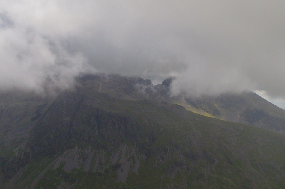
| Starling Dodd appears through the cloud. |
| I left Great Borne and picked up the ridge path, it had rained the day before and the path reflected this especially around the Scaw Well area where I had to hop, skip and jump over the boggy bits. |
 |
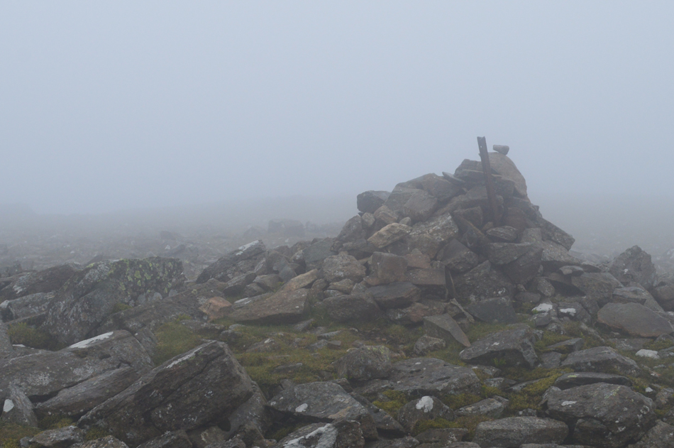
| Starling Dodd summit cairn 7:19am. |
I have traveresed this ridge many times but never in this direction meaning the ascent of Starling Dodd from the Great Borne side was new to me. I was once again exposed to the elements between both summits and I was thankful despite the machine gun rat-a-tat-tat in my ears that I reached the summit feeling positive and fresh after all, It is still early and there's plenty of time for the cloud to clear and for the winds to ease. |
 |
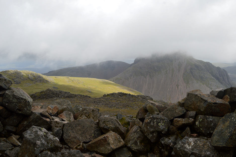
| Red Pike (Buttermere) looms ahead. |
| I was possibly more exposed to the wind on Starling Dodd than I had been so far and I was pleased to descend the summit with the wind again giving my back a hammering. I could have included Little Starling Dodd but it wasn't on my itinerary and besides, I was thankful of the shelter the flank of the hill provided as I headed towards Red Pike. |
 |
| Red Pike (Buttermere) 07:56am. |
For some reason I expected a tougher ascent on Red Pike, I guess with the wind obscuring the summit didn't help and I was elated to find that after picking my way through the ascent I had arrived at the summit shelter where despite the conditions, was a huge pick me up so early into the walk.
David had suggested we keep in contact if only to track my progress and to 'generally' see how I'm getting on so at nearly 08:00am I knelt down in the shelter and gave David a ring finding he must have been busy (I was asked to leave a message should this be the case) "David it's 08:00am and I'm at Red Pike, the wind and cloud have let me down but I'm in good spirits, speak later" |
 |
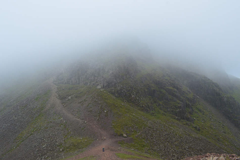
| Heading towards High Stile. |
I left Red Pike and lost the path in the confusion of the high winds and cloud which by now was forcing me towards the head of Chapel Crags, I keep as far away from the edge before passing the craggy outcrop which makes up the summit of Chapel Crags.
I am feeling somewhat wind blown but I continue to maintain high spirits. |
 |
| High Stile summit 08:24am. |
| With the head of Chapel Crags passed I started the ascent on High Stile where out of the cloud two walkers appear from nowhere, I'm not sure if they said Hi or not and if they did we wouldn't have been able to hear each other over the deafness of the wind. At 08:24am I reached High Stile summit and was treated to the 'tumble drier' affect once more, it wasn't a place to hang around and no sooner did I arrive at the summit cairn I had left it and started my descent on the High Stile to High Crag ridge. |
 |
| The High Stile ridge. |
After leaving High Stile summit I started my descent onto the High Stile ridge finding navigation difficult sometimes on, or off the path. With the winds still approaching from the west I picked up the ridge and found a shelter behind a large boulder where once sat down I found silence, this was a good time to give David another call and this time he answered sounding surprised I'd progressed as far as I had since the time I'd set off. During that conversation we both kept positive - both agreeing that the cloud should lift and the winds would ease, this helped heaps even if present condtions didn't reflect it.
"I'll try and call again later David but the further I venture into the valley the weaker my signal will get" we agree to leave the next call until I reach Green Gable. |
 |
| High Crag summit cairn 09:07am. |
It seemed I made the summit of High Crag in record time which probably made sense seeing that I hadn't stopped to take photos just keeping focused on reaching the next summit.
I had by now arrived at the conclusion that today wasn't going to be about seeing great mountain scenery, well for now anyway which helped to maintain my focus. |
 |
| Descending Gamlin End/High Crag. |
| |
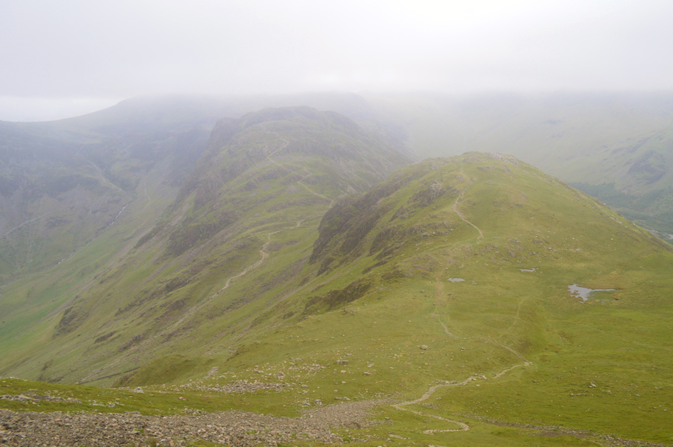 |
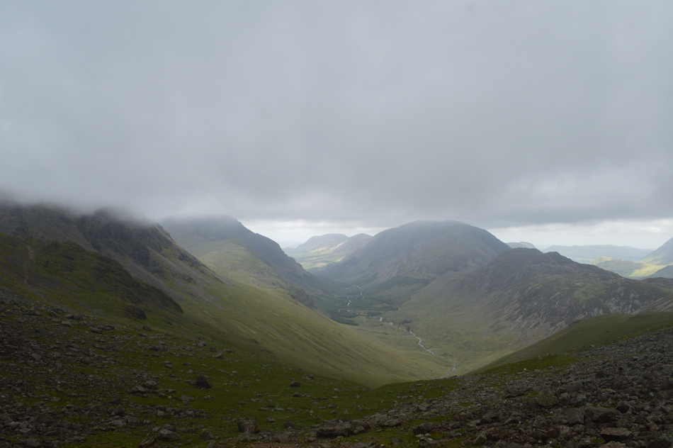
| A clearing in the cloud provided this view over Seat and Haystacks. |
| While up ahead, Brandreth, and the Gables are still emerged in thick cloud as was Kirk Fell and Pillar on the opposite side of the valley. |
 |
| Haystacks from Seat 09:31am |
The descent of Gamlin End slowed me down which was to be expected. I did manage a few views over towards Fleetwith Pike, Hindscarth and Robinson but the light was so poor they sadly didn't warrant a capture. With the descent of Gamlin End behind me I started the easy ascent on Seat and flanked its summit to the left from where I heard an almighty roar of wind passing over the top of Scarth Gap, so loud in fact it sounded like someone was testing jet engines such the roar.
I'm not afraid to admit it was quite an intimidating roar! |
 |
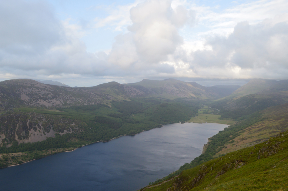
| Bleak but beautiful Buttermere. |
| |
 |
| Looking back over the top of Scarth Gap towards Seat and Gamlin End. |
| With the descent of Seat before me I had no option other than to listen to the wind as it howled over the top of Scarth Gap all the while my descent was protected by the crags on either side of me. The crossing of Scarth Gap was brief and hurried where oddly the worst of the wind seemed to be above my head and I felt as If I'd gotten away with a thrashing. |
 |
| The un-named tarn below Haystacks summit 10:11am |
| The ascent of Haystacks is the kind of ascent I like, a good rocky path, steep in places with the odd little scramble thrown in and today I used this to my advantage and reached the summit without pausing even though the tell tale signs of tired legs were starting to show. |
 |
| The view over Haystacks towards Brandreth (far left) Green Gable (left) and Great Gable (right) all below cloud. |
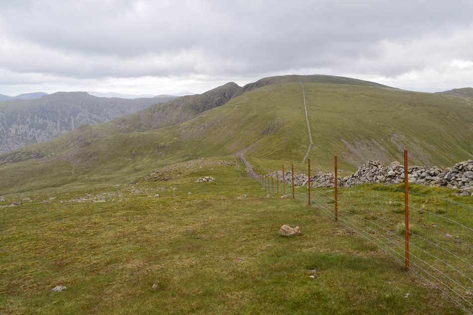
| From the summit of Haystacks Brandreth now follows but to gain its summit requires following the Ennerdale fence in a south westerly direction (right) to do this I need to pick up the fence which I do prior to reaching Innominate Tarn (seen towards the left) then I traverse the heathery summit by means of a narrow path all the way towards the top of Loft Beck. |
 |
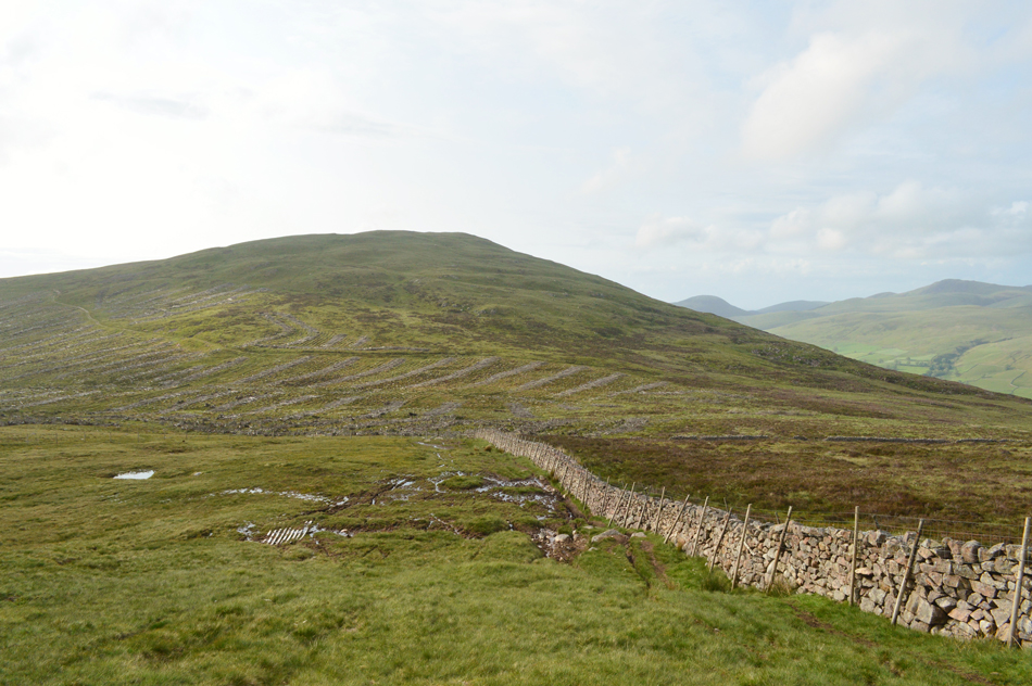
| The view back along the Ennerdale Valley from the Ennerdale fence line. |
| Where hints of sunlight illuminate the flanks of Iron Crag and Crag Fell. |
 |
| Kirk Fell and Beck Head from the top of Loft Beck. |
| Had today been hot and Sunny I would have filled up my water bottle here at Loft Beck but with present conditions I continue bearing in mind the next available options in Stone Cove below Windy Gap and Baysour Slack, Kirk Fell. |
 |
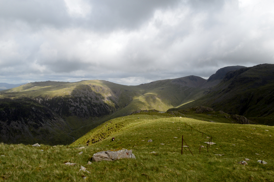
| The Buttermere Valley with Haystacks seen left and Great Round How seen right. |
| The traverse along the Ennerdale fence line was as predicted, tough going and to add to this I lost height as Loft Beck was crossed but there was no need to moan about something I could do now't about so I dug deep and started the ascent on Brandreth before crossing Moses Trod. |
 |
| Brandreth summit 11:23am. |
| Digging deep was something my body was getting used to in fact during this section of the walk I could turn it on and off whenever I needed without feeling my energy levels had been used, this was a good sign and kept up self morale.
After crossing Moses Trod I continued to follow the path and with Grey Knotts in sight I checked my bearings finding I was travelling too far easterly, I hadn't yet reached the path for Brandreth but should I continue my humble thoughts were I'd lose time and energy, it was time to ascend pathless. I followed the fence line and used the lay of the fell side to the best of its advantage soon spotting a group of four walkers off path huddled around a map or GPS (I couldn't see so clearly) I spotted a wooden sty up ahead and then the path which I had out flanked started to appear leaving me feeling clever in a stupid way (I needn't have ascended pathless gaining the sty by a matter of minutes, nothing more!) I passed the group and shouted over the wind "are you ok?" one chap looked back and waved "Ok"
I reached, then crossed the sty and followed the path for around sixty yards then made a pathless, direct ascent for Brandreth's summit by which time the four walkers were tracing me step for step. |
 |
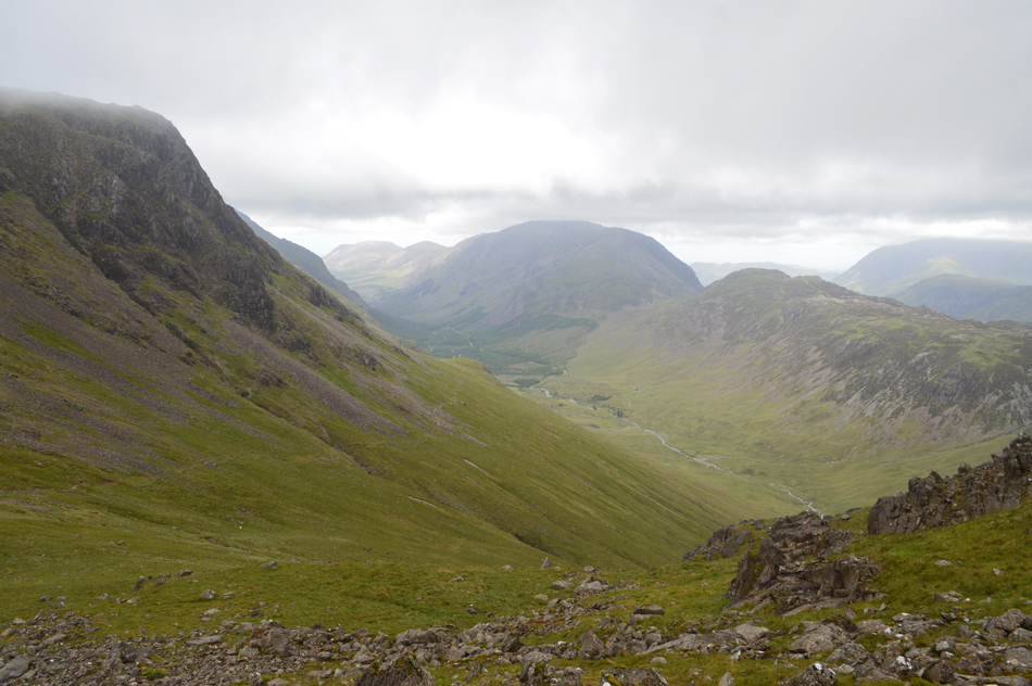
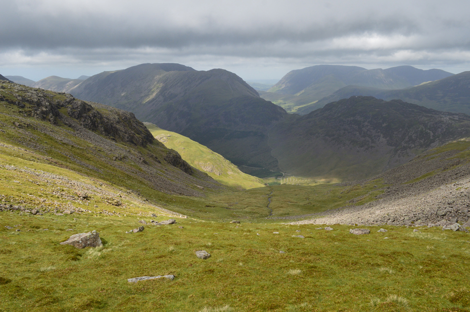
| The Ennerdale valley as I head for Green Gable. |
| That's 'Moses Trod' footpath in the foreground which passes through Stone Cove which I'll also be traversing later but first Green Gable beckons, this effectively is the most scenic part of the Horseshoe at a point when I'm approaching the furthest distance away from my car back at Bleach Green, Ennerdale. |
 |
| Following the cairns towards Green Gable summit. |
| My morale took a temporary dip as I crossed Gillercomb Head possibly because back on Herdus I told myself should the winds not ease I would make the call to end, or continue the walk at Green Gable. Ending the walk was the furthest thought from my mind but logically I wouldn't have blamed anyone who would have made that call - I felt as if the winds had beaten me and now I had the prospect of walking head first into the wind for the outward bound of the Horseshoe over the most difficult, and highest section of the route. |
 |
| Green Gable summit 12:00pm. |
The four walkers had left Brandreth just after I had but I lost them after choosing to descend where I avoided the worst of the boulders. Two of them re-appeared as I passed the Tarns then the two others a large gap behind. It was time to dig deep at a point when I was back in the cloud and in the wind's firing line. Green Gable was reached and I recalled my last visit with David and Rod back in April where we had similar winds but much clearer views. I checked my phone and found I had a signal so I decided to give David a call.
I checked in "Green Gable David" by eck your making good time Paul, whether this was true or not David word's picked me up, the best thing was ending the walk early never entered my head during that conversation which for me showed a 'mental momentarily blip' "you're doing great Paul just get on with it"
"I'll check in at my next available signal David" |
 |
| Descending Green Gable for Windy Gap. |
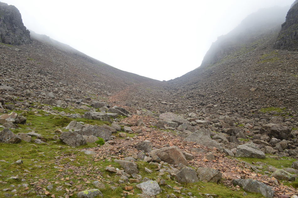
Morale was boosted by our last phone call but the wind was at its highest once again with Windy Gap living up to its namesake. I picked my way down and found a walker adding extra layers while waiting for his friends to ascend from Aaron Slack.
Conversation was difficult but questions were asked out of politeness anyway nodding to acknowledge replies even though we couldn't hear a thing over the deafness of the wind. |
 |
| Descending Windy Gap into Stone Cove. |
| With continued descent the wind weakend and for the first time I felt I was overheating so I lowered my jacket zip and made my way towards Moses Trod which as mentioned earlier, passes through Stone Cove, those with a keen eye maybe able to see the path towards the base of the scree. |
 |
| Do my eyes decieve me or is the cloud begining to lift! |
| |
 |
| The view back towards Windy Gap. |
| |
 |
| Mysterious Gable Crag from Stone Cove. |
| |
 |
| It certainly looks like the cloud is lifting. |
| Better late than never eh. |
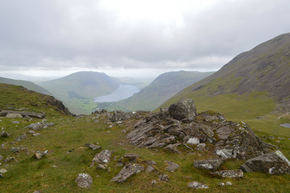 |
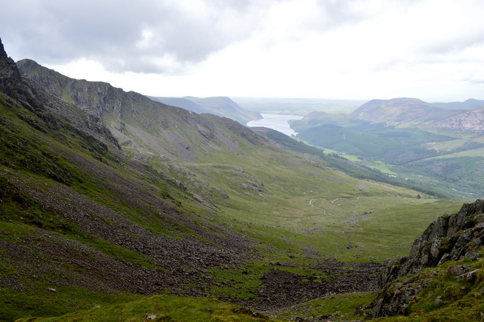
| Illgill Head, Wast Water and Yewbarrow from Beck Head. |
| I soon reached Moses Trod and started the ascent on Beck Head where I broke out a well earned lunch. |
 |
| The High Stile Ridge seen over the Ennerdale Valley from my lunch stop. |
| The good news was the cloud was starting to peel away from my surrounding summits including the Gables and Kirk Fell which left me a long distance view all the way back to Great Borne over ten miles away, all I need now is for the winds to ease. |
 |
| Lunch with a view. |
| Watching the cloud peel away from Great Gable summit was a wonderful way to spend lunch. |
 |
| Green Gable and Great Gable the ascent of Kirk Fell. |
| I treated myself to tuna salad wraps washed down with SIS GO Isotonic Energy Gel which was my second sachet of the day which I feel helped heaps to alleviate hunger, cramps and also gave me that extra power boost when needed. |
 |
| Great Gable seen over Beck Head. |
| The cloud has almost cleared the summit, I sure hope this is a sign of conditions to expect for the rest of the afternoon. |
 |
| Kirk Fell North Top 13:10pm. |
I started the ascent of Kirk Fell in good spirits but I think my lunch stop may have allowed my thigh and calf muscles to tighten feeling just ten minutes into the ascent my thigh muscles twingeing, I guess this is where the Isotonic kicked in because other than the usual aches and pains I never cramped up for the remainder of the walk, good stuff.
Kirk Fell north top was sighted from the summit shoulder and I made a direct ascent feeling my calfs burn over the pathless ground. With the summit reached I gave the cairn a tap from my walking pole and started the descent bound for the main summit. |
 |
| Passing Kirk Fell tarn. |
| While looking towards the top of Baysour Slack which I have chosen as todays descent route to reach the top of the Black Sail Pass. |
 |
| Great Gable from Kirk Fell. |
| Ahh...I see more cloud has returned. |
 |
| Dramatic views over Lingmell towards Scafell Pike, Mickledore and Sca Fell. |
| |
 |
| Green Gable and Great Gable from Kirk Fell 13:26pm. |
| Kirk Fell summit was reached and surprisingly I watched a walker ascend from Baysour Slack first time I have seen anyone do this, he then passed the Tarn before making his way over to view Great Gable unbeknown to him I was taking a quick break/respite from the wind in the summit shelter where I finished off the last piece of flapjack that Jennifer had left me this morning. |
 |
| Starling Dodd, Red Pike (Buttermere) High Stile, High Crag, Seat, Scarth Gap and Haystacks from the top of Baysour Slack. |
| Having left Kirk Fell summit shelter I made the slight descent back towards the Tarn and to the top of Baysour Slack. As you can see Baysour Slack overlooks the Ennerdale valley and offers a fantastic alternative to the rugged Kirk Fell Crags as a choice of descent. |
 |
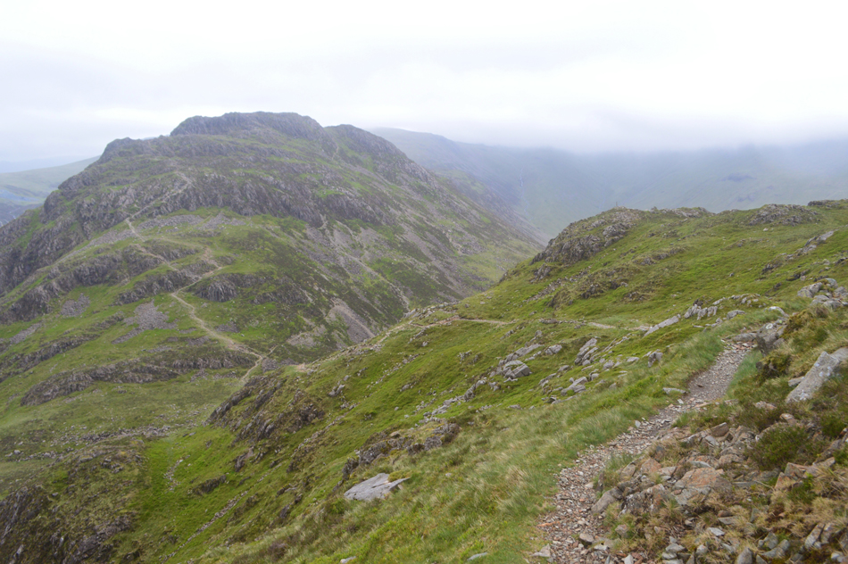
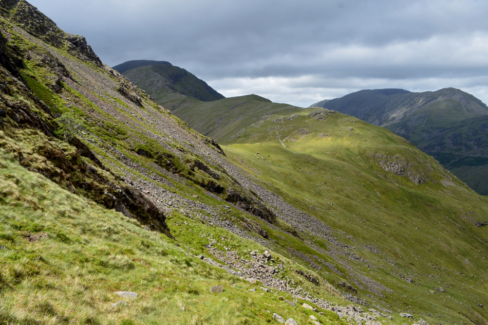
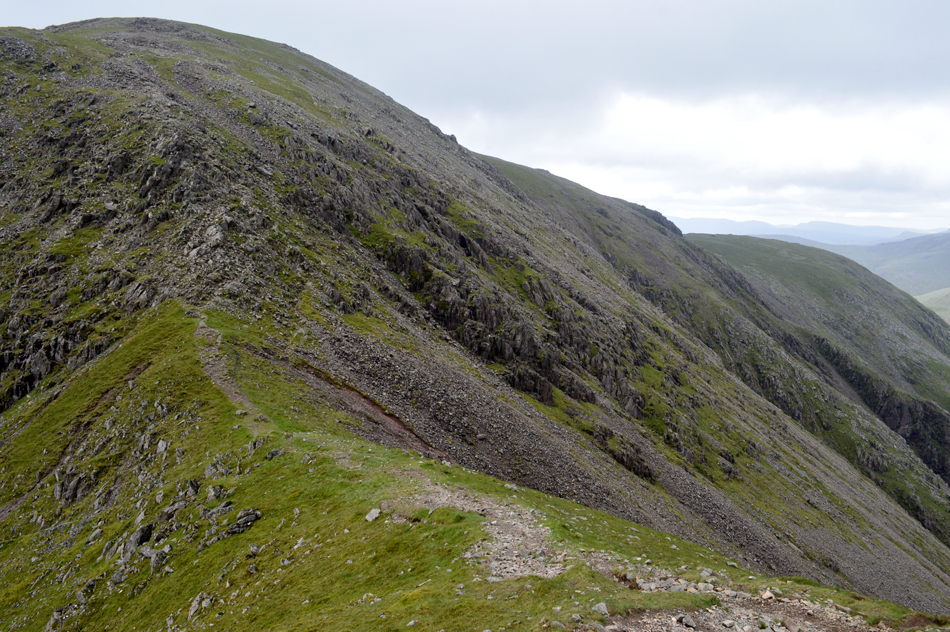
| The High Stile ridge from Baysour Slack with the Grasmoor group in the distance. |
| I keep to the left of Sail Beck before switching right then back left again just before Sail Beck descends through a deep ghyll seen in the lower half of the picture. |
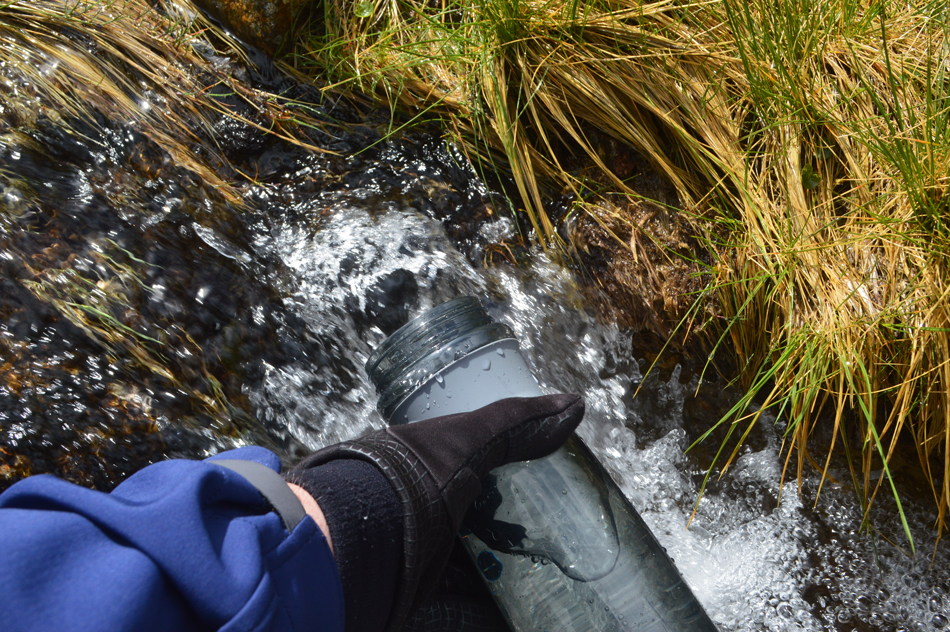 |
| Filling up my water bottle at Sail Beck. |
| Despite still having around a litre and a half of hydration left in my bladder pack it would be a wise decision to fill up the empty water bottle I'd been carrying just in case I run out on the way back. |
 |
| It's time to cross Sail Beck once more seen here at the top of the deep ghyll. |
| Right at the time the top of Black Sail Pass and Pillar comes into view. |
 |
| Descending Baysour Slack. |
| I was surprised to find a great narrow path to follow to the left of the ghyll which descended all the way down to the path which flanks the Ennerdale side of Kirk Fell, however I only used this path for part of the way not wanting to descend too much only having to re-ascend to the top of Black Sail Pass afterwards so I left the path early and found a line below the scree seen left. |
 |
| Kirk Fell and Kirk Fell Crags from the top of Black Sail Pass. |
| I arrived at the top of Black Sail Pass from the lower left of this photo and took a few minutes rest at the ruined steel gate, the sun was still shining and with focus still maintained I started the steady ascent on Looking Stead not before paying a visit to one of my favourite tarns in the district. |
 |
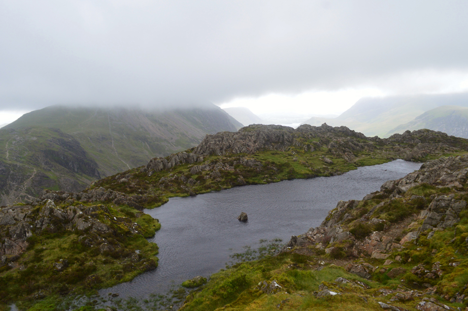
| Pillar and Looking Stead from the un-named tarn at the top of Black Sail Pass. |
| Instead of linking back with the footpath seen left I keep to the ruined fence line seen right which offers fantastic views over the head of the Ennerdale valley. |
 |
| A second un-named tarn presents equally fantastic views over the Gables and Kirk Fell. |
| |
 |
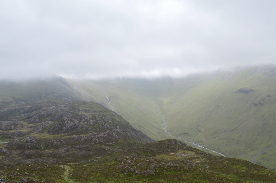
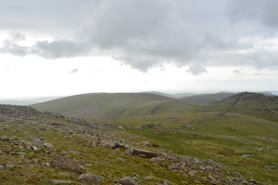
| Looking back on trodden ground with Grey Knotts, Brandreth, Green Gable, Windy Gap, Stone Cove and Kirk Fell. |
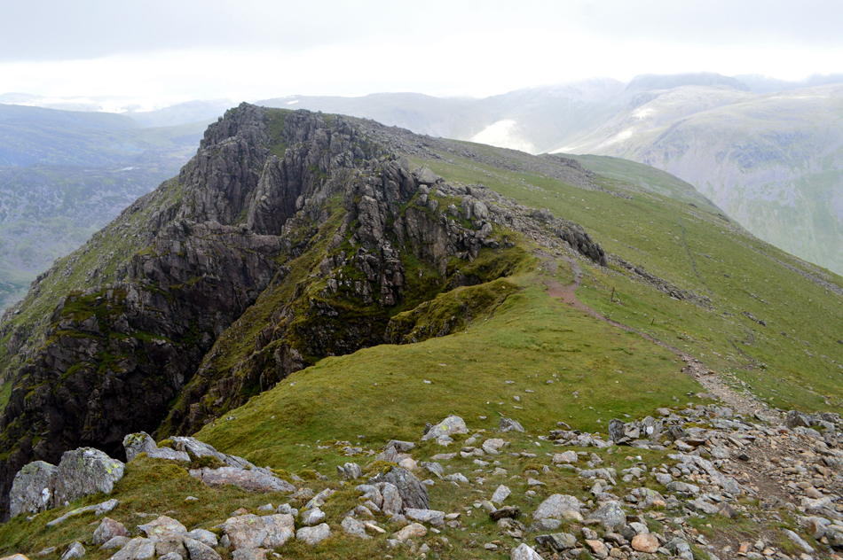
| By far the most difficult section of the entire route! |
 |
| The head of the Ennerdale valley from Looking Stead summit 14:22pm. |
| |
 |
| Views over the Ennerdale valley towards High Stile, High Crag and Seat from the top of Green Cove. |
| Despite being in one of my favourite Lake District locations I knew this is where I needed to dig deeper than I have dug before and to spur me on I gave Pillar a verbal warning that I was coming to get you. |
 |
| Dramatic views over Mosedale to Wasdale Head. |
| |
 |
| The view back beyond Hind Cove. |
| I always tend to split the ascent of Pillar from the top of Black Sail Pass into three sections, the first being steep, craggy and always enjoyable before a second steep rocky section followed by a gentle steady crawl to the summit from where I took this picture from, I'm now just yards from the summit and by the looks of it I'm about to be engulfed by cloud. |
 |
| Pillar summit trig point and shelter 15:11pm |
| I was right reaching the summit trig just as a bank of cloud settled over the summit, the winds had eased slightly but not enough to feel comfortable out in the open. I took out my phone and checked for signal, I had nothing and with that I gave the summit trig a tap with my right hand and started to make the descent towards Wind Gap. |
 |
| Views over Wind Gap towards Black Crag, Scoat Fell, Steeple and Seatallan in the distance. |
| With tiring limbs it is essential I make each step count during the descent of Pillar. |
 |
| Steeple, Crag Fell, Ennerdale Water and Great Borne from Wind Gap/Windgap Cove. |
| There's definitley a connection with the word 'wind' in todays walk!! |
 |
| Looking back over Wind Gap towards Pillar. |
| |
 |
| "Easy on Black" 15:39pm. |
| Was the words I repeated to myself while ascending Black Crag. |
 |
| Scoat Fell, Mirk Cove and Steeple come into view as I prepare to leave Black Crag. |
| Legs are starting to feel mighty heavy by now but my lungs are still fighting fit. |
 |
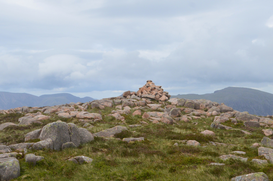
| "Easy on Scoat" 15:54pm. |
| |
 |
| The view over Mirk Cove towards Black Crag and Pillar from Scoat Fell. |
| With Scoat Fell reached completing the walk became more and more achievable more so as Ennerdale Water glistened in the distance but this walk is far from over and digging deep and ignoring the aches and pains is starting to feel like the norm. |
 |
| Haycock awaits. |
| Haycock for me was the point in this whole walk which I knew could either make or break me, it's a tiresome ascent at the best of times owing to no matter which route you have already ascended by this last push onto Haycocks summit was going to require some determination. |
 |
| Looking back on Scoat Fell and Steeple from the ascent of Haycock. |
| With High Stile on t'other side of the Ennerdale valley. |
 |
| Haycock summit 16:27pm |
| I dug deep once more stopping only to take the previous photo, I feel the time, effort and thought I had put into the ascent of Haycock has paid off. |
 |
| Little Gowder Crag (right) and Caw Fell (left) from the descent of Haycock. |
| The light had faded and thankfully the wind had got to a comfortable point where it wasn't over taking my thoughts leaving me to concentrate on the final three summits of the day in Caw fell, Iron Crag and finally Crag Fell. |
 |
| Caw Fell summit cairn 17:17pm. |
| I have a special fondness for Caw Fell due to its remote location but today there was no time for admiration where despite the dramatic backdrop all thoughts are now on Iron Crag and Crag Fell. |
 |
| Looking back on Caw Fell from the ascent of Iron Crag. |
| I turned my back on Caw and made an off path line for the stone wall seen here then began the steep descent onto the grassy col below. From the col Pillar was by now below a bank of black cloud so dramatic it looked like a scene from Lord of the Rings, all that was missing was the fire breathing dragon. |
 |
| Iron Crag summit cairn 17:38pm. |
| I keep to the stone wall by following a less trodden path than the one that traverses over the top of the summit which I will link back up with after I leave the summit. Iron Crag is commonly known as one of the longest fells in the district stretching well over two miles in length domineering the Ennerdale skyline, today I will use its grassy plateau to pick up my pace as only one thought occupies my mind... |
 |
| Crag Fell. |
| I can't but help feel a little overwhelmed by the site of Crag Fell but I do not let the occasion falter my efforts to reach the summit as swiftly as my tiring limbs allow. With the descent of Iron Crag behind me I cross the felled plantation by veering left then right through a clearing then pick up the track seen running horizontally across the fell side, locate the summit path and start todays final ascent, the time is 18:30pm. |
 |
| Crag Fell summit cairn 18:56pm. |
| The walk is not yet over but while I'm stood at the summit panting like a labrador I take a small piece of stone from the summit cairn and place it in my pocket. |
 |
| The Ennerdale valley from Crag Fell. |
| Now completely clear of cloud with the exception of Pillar seen over on the right. |
 |
| Herdus, Great Borne and Ennerdale Water from Crag House Farm. |
| I couldn't just leave Crag Fell, not after what I had been through to reach its summit so I found a spot overlooking the lake and sat down while taking in the enormity of the Ennerdale valley and its surrounding peaks not quite believing that hours earlier I was stood, wind lashed at each and everyone of them. The car park is reached and I take delight easing my boots off releasing the pressure of 24 miles and all that ascent, I check for steam coming from my socks but there isn't any! just an overwhelming feeling of accomplishment complimented by the butterflies in my stomach. |
|
| |
| Back to top |
 |
|