Walking the Birketts, Blake Fell and Loweswater Fells East of Lamplugh

12th July 2019

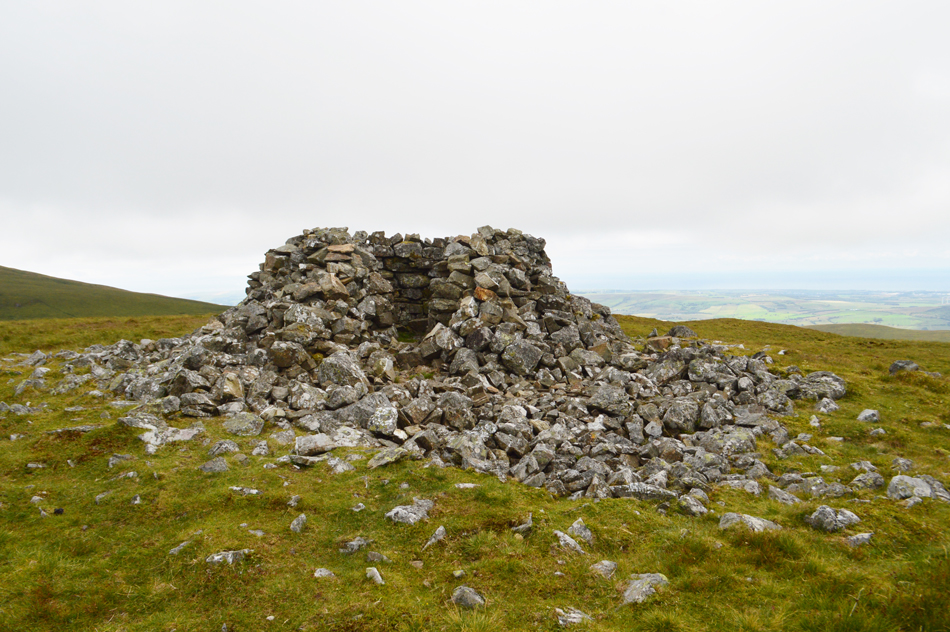
After a few weeks away it feels great to get back into my Birketts and today I've planned to walk on a group of fells that my boots rarely see, the Loweswater fells. I've kinda planned this walk as a leg stretcher for tomorrows epic Crinkle Crags walk were I'll be following in Birketts foot steps while taking a round of some of England's highest and remotest ground but that's tomorrow so lets get back to today.

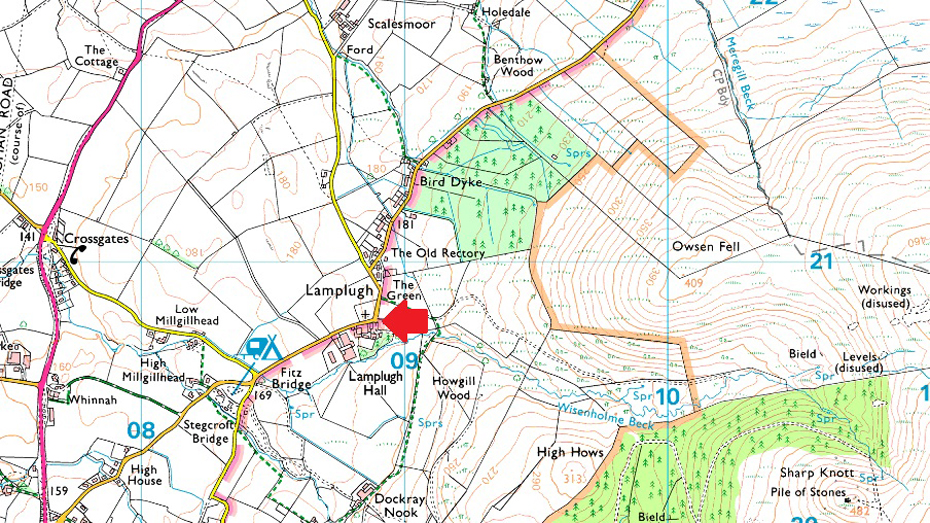
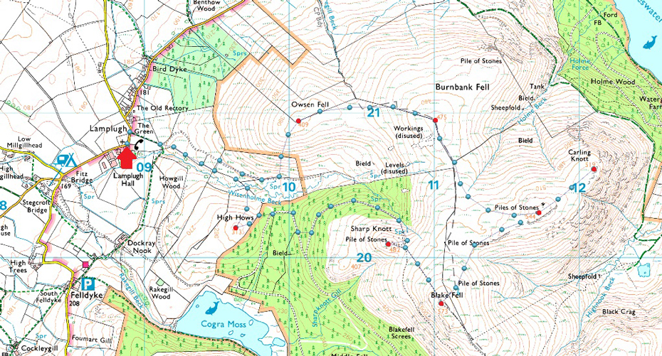
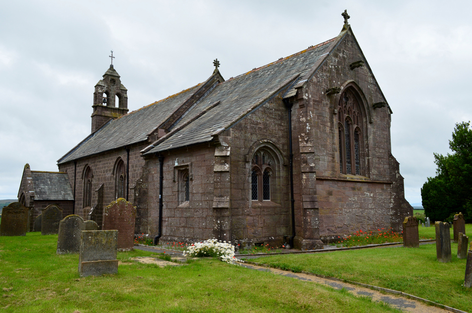
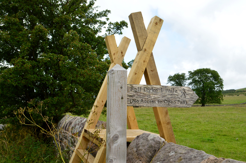
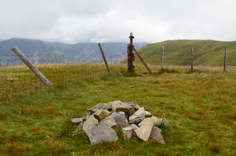
I can see the fascination why Birkett chose to start this walk from the remote hamlet of Lamplugh situated in the far west of Lakeland, a place where not much has changed over the last hundred years including access on to open fell which left me feeling a little confused seeing as their is no mention of any 'difficulties' the walker might encounter in the chapter covering this walk which I touch upon in todays report.

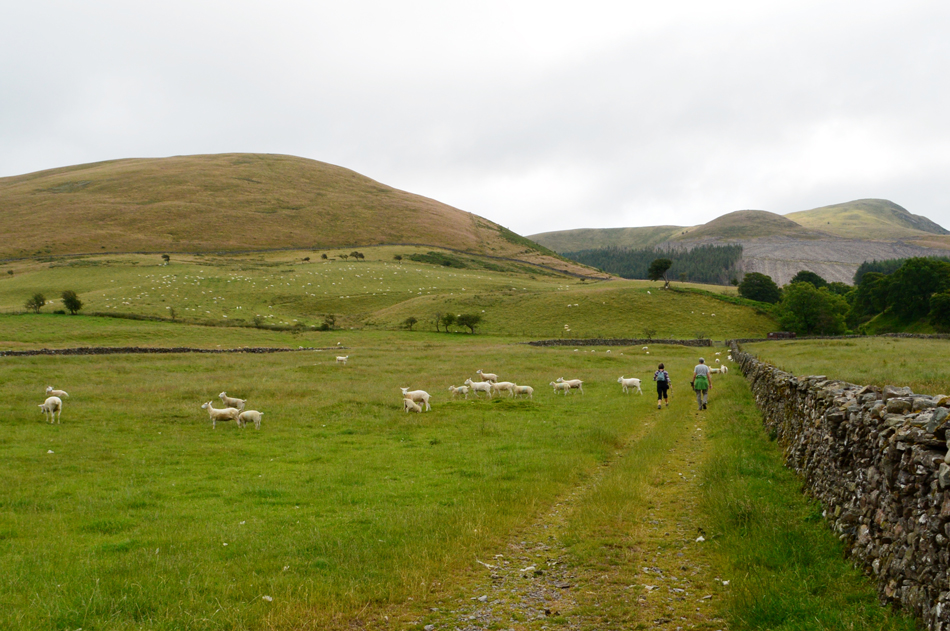
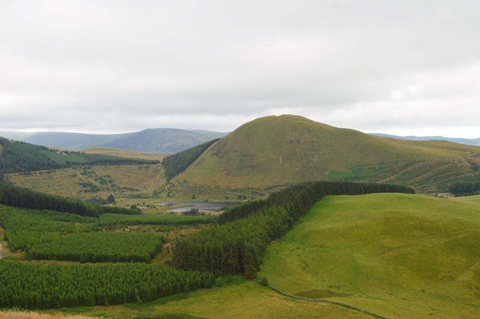
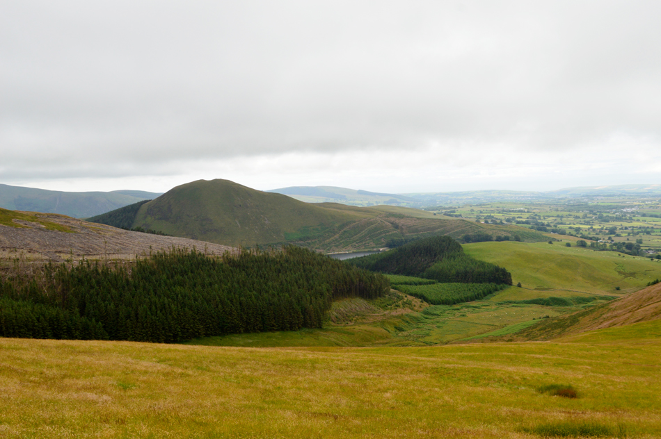
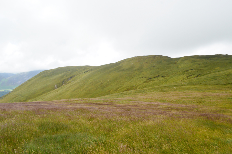
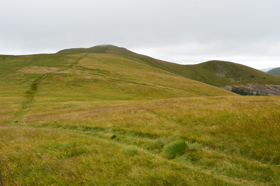
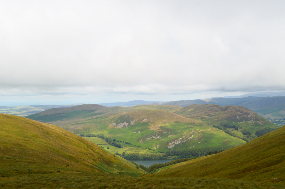
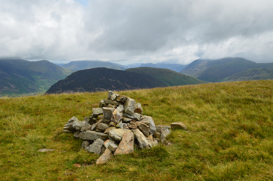
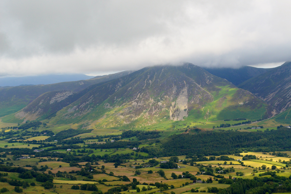
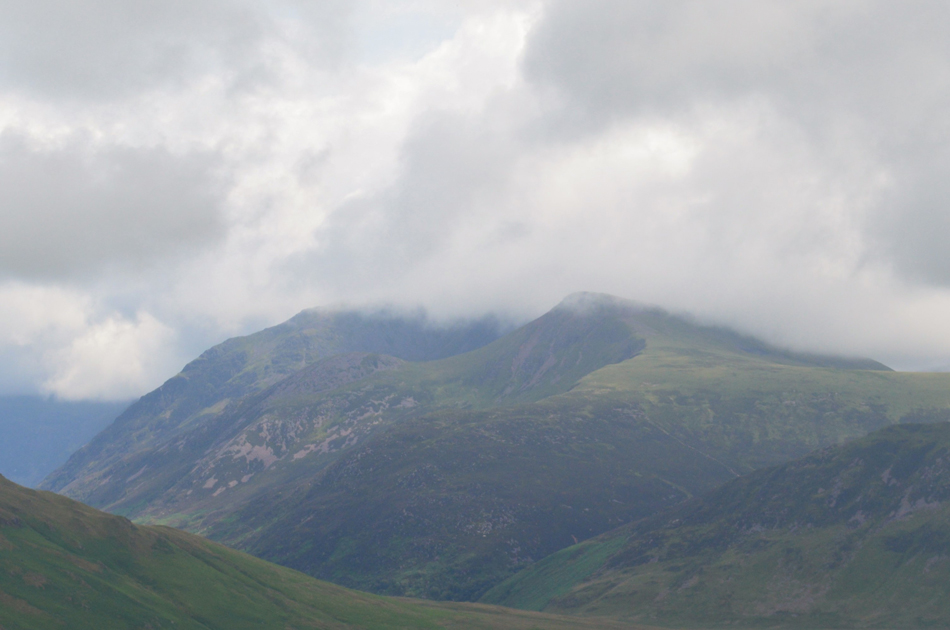
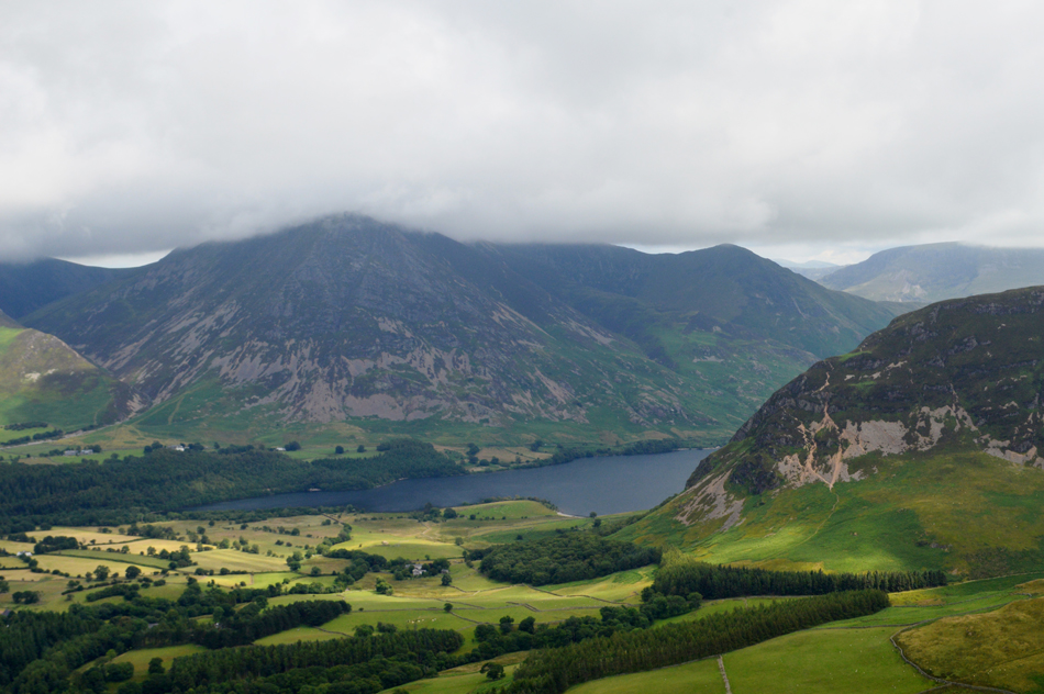
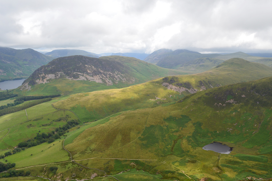
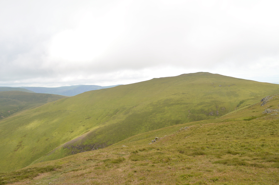
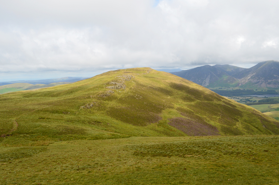
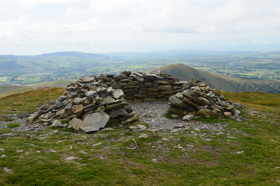
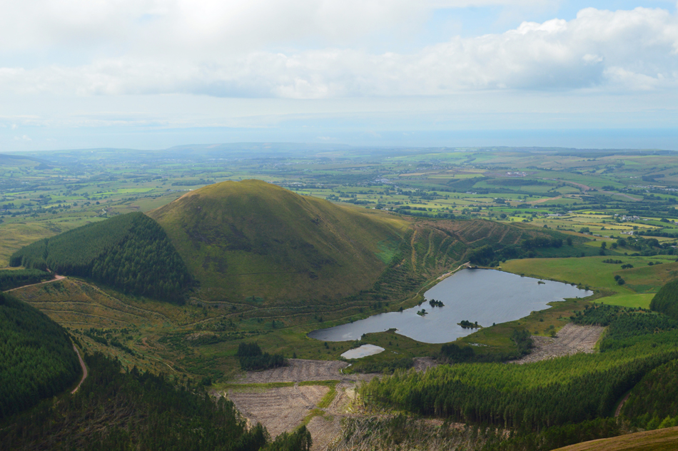
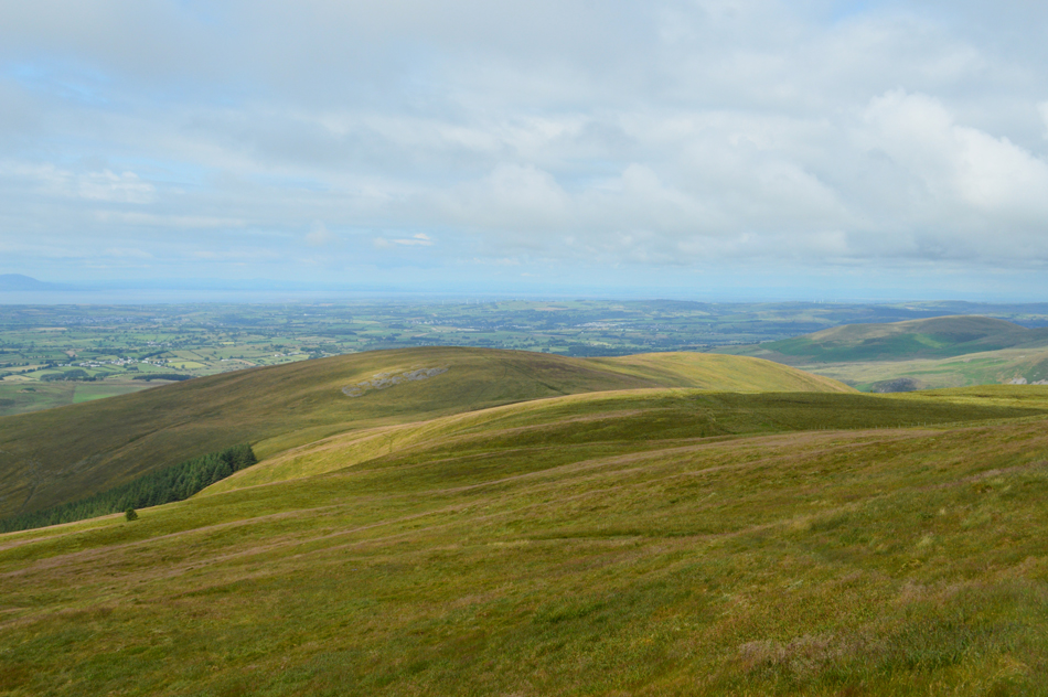
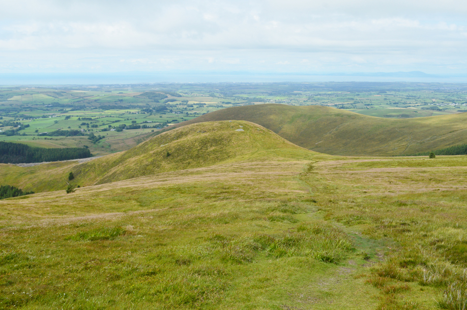
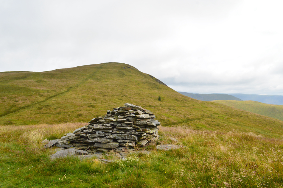
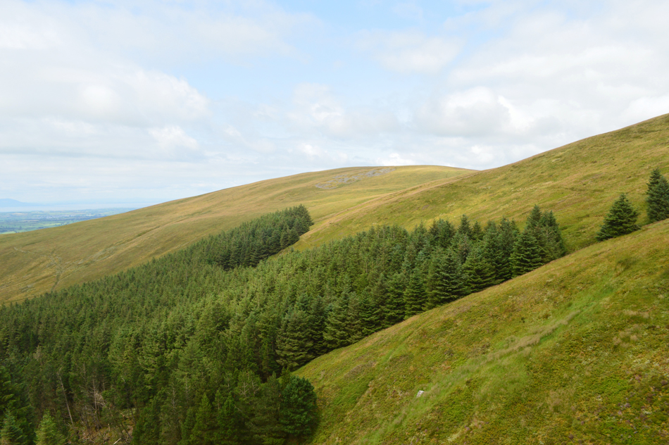
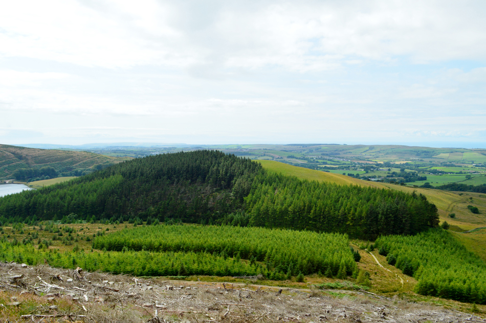
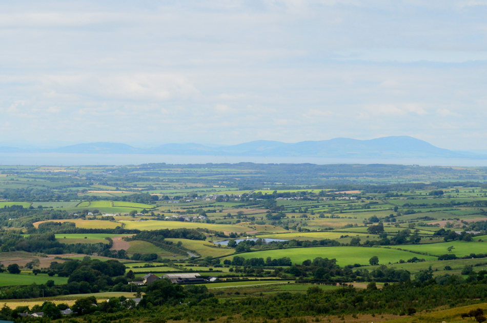
The Loweswater fells are David's stomping ground and these are the fells you might spot him on on a warm Summers evening where it's fair to say the going is easy as the grass ridges just roll away beneath your feet and I can only mirror David's words as I took in the Loweswater fells east of Lamplugh, the going is as good as it gets and views are exceptional although it's worth having your wits about you because you never know who might be watching.

 
The Complete Lakeland Fells
By Bill Birkett

-Carling Knott

Despite the fact that it is set lower than distant Blake Fell, it is a distinguished summit.


Overview
Ascent: 1,705 Feet - 520 Meters
Birketts: 7, Owsen Fell - Burnbank Fell - Loweswater End (Carling Knott) - Carling Knott - Blake Fell - Sharp Knott - High Hows
Weather: Intermittant Sunshine, Feeling Warm In The Sun. Highs of 22°C Lows of 18°C
Parking: The Green, Lamplugh
Area - Group: Western / W/LOW
Miles: 6
Walking With: On My Own
Ordnance Survey: OL4
Time Taken: 3 Hours 20 Minutes
Route: Lamplugh - Owsen Fell - Burnbank Fell - Loweswater End (Carling Knott) - Carling Knott - Blake Fell - Sharp Knott - Wisenholme Beck - High Hows - Lamplugh
 

Parking Details and Map for The Green, Lamplugh
Nearest Post Code: CA14 4TY
Grid Reference: NY 089 209
Notes: A lay by can be found opposite St Michael's Church with room for up to four well parked cars. Please be advised that Lamplugh is a small community so please park with respect without blocking access to gates. Parking is free.


Map and Photo Gallery


St Michael's Church, Lamplugh 12.30pm 18°C
Even though it's cloudy the heat was already ramping up towards the high teens as I arrived in Lamplugh which hit me the moment I opened my car door after driving with the air conditioning on from leaving home. The parking lay by opposite the church was empty and I parked easily before starting to kit up behind my car, rain wasn't forecast but with the luck i've had of late it's best I pack a light waterproof just in case. Before I was ready to leave another car had parked up behind me, its occupants, a retired couple got out and greeted me with a friendly 'afternoon' before walking towards the wooden sty opposite the Church yard and presumably Owsen Fell which is todays first summit.

Fell Dyke 1 Mile.
I'd already spoken to David about this sign which is a little bit of a grey area to say the least which clearly states 'No Access to Open Fell' With Owsen Fell just through this field names 'The Green' on my OS map I am left feeling somewhat confused but I cross the Sty anyway knowing I will not be trespassing as the sign clearly states this path continues through to Fell Dyke.

Owsen Fell, Sharp Knott and Blake Fell.
If I am to follow Birketts instructions Owsen Fell will be gained directly by following a fence line from above the patch of trees on the lower right flank of the hill while just up ahead, were the couple who had just set off before me.

The view over High Hows towards Cogra Moss, Knock Murton with Crag Fell and Ennerdale in the distance.
I soon caught the couple up who had stopped looking rather stumped at a second sign attached to a gate which read 'No Access to Open Fell' Things were starting to get more confusing, more so as I spot two clear paths leading onto Owsen Fell. The lady fears they are trespassing and jokes "well at least I have two strapping blokes if the farmer decides to chase us!" I look at her husband and say "I'm going for it, the low fence line then the summit" aye we'll follow he replies.

Burnbank Fell, Loweswater End and Carling Knott from Owsen Fell summit.
I followed Birkett's ascent route and left the fence line at its highest point before making a pathless dash over very steep ground bound for the summit, the couple had been behind me but they took a less direct ascent veering to the left if only to take some of the steepness away (this was confirmed when I bumped into them after my walk in the village) Their voices had faded into the distance and soon it felt like I had the whole place to myself at a point when I was heaving trying to replenish the air in my lungs!

Blake Fell and Sharp Knott.
Seen over the head of Wisenholme Beck. The felled trees on the flank of Sharp Knott looks tricky to negotiate which Birkett chose as his descent route to reach High Hows from, today however, it's looking much trickier than it was when Birkett penned this route.

Looking back on Knock Murton, Cogra Moss and High Hows.
Taken as I start my ascent on Burnbanks Fell.

Burnbanks Fell summit.
During my ascent I had spotted the couple arrive at Owsen Fell then leave across the grass in my direction. Burnbank Fell was soon reached by which time it had started to cloud over and with it came a slight drop in temperature.

Carling Knott and Loweswater End.
Taken shortly after leaving Burnbanks Fell.

Blake Fell and Sharp Knott.
This photo shows how easily Sharp Knott is gained from Blake Fell including the steep descent route onto the forestry path below.

The view from the top of Holme Beck looking over Loweswater towards Darling Fell, Low fell and Fellbarrow.
 

Loweswater End on Carling Knott.
Having left Burnbank Fell I descend south along a smooth grassy col passing over the head of Holme Beck, it was there I passed over a sty and followed a narrow grassy footpath and ascended steadily onto Loweswater End marked here by this fine stone shelter.

Whiteless Pike, Mellbreak, Fleetwith Pike, High Stile and Red Pike (Buttermere) from Carling Knott summit.
We'll I reckon I've earned myself an overdue lunch I just need to find myself a nice quiet spot out of the summit breeze.

Lunch with a view over Loweswater and Lorton Vale.
I couldn't have found myself a nicer spot to take a quick break with views over Loweswater and the cloud topped summits of Whiteside and Grasmoor.

Whiteside.
It looks like isolated spots of sunlight are trying to break through the cloud, down in the valley.

A close up of a cloud topped Red Pike (Buttermere) with High Stile beyond.
 

Mellbreak's North Top.
It doesn't seem like two minutes ago when I climbed Mellbreak back in early June, back then we were all waiting for a heat wave to arrive and we're still waiting!

The view over High Nook Tarn, Black Crag, Little Dodd, Hen Comb and Mellbreak.
That's the Black Crag ridge seen above High Nook Tarn which leads onto Gavel Fell, it's one of the places every time I see it I vow to visit but for some reason I never do.

Returning over Loweswater End as Blake Fell comes into view.
Come on sunshine my forehead is meant to be getting burnt right about now.

Looking back on Loweswater End and Carling Knott from the ascent of Blake Fell.
 

Blake Fell summit.
I actually felt a few spots of rain which developed into large splashes on my arms as I returned over Loweswater End but thankfully the shower passed quickly leaving no need for the waterproofs. A short and steady ascent was required to gain Blake Fell summit not before crossing a high, and very wobbly wooden sty which made me wonder how many people had been caught out the way I just was.

From Blake Fell summit I took this photo looking down on Cogra Moss and Knock Murton.
From where I could see the extent of the tree felling below which also extends north below Sharp Knott.

Views towards Burnbanks Fell as I start the descent towards Sharp Knott.
Wonderful, the sun is back out.

Descending towards Sharp Knott with Owsen Fell beyond.
 

Blake Fell from Sharp Knott.
 

Burnbank Fell from the top of Wiseholme Beck.

From Sharp Knott summit I return to the grassy col linking it with Blake Fell. I'm now at the head of Wiseholme Beck looking down on the forestyry path which Birkett recommends to gain High Hows from except the path is full of forestry debris. The alternative would be to cross the head of Wiseholme Beck using the path seen upper right but this would add time and miles.

My head tells me to stick to the book but my legs say go around.


I stuck to Birketts route.
After descending steeply the path came to a sudden end where forestry debris covered the track along the waist of Sharp Knott. I climbed off the track and onto the fell side which was littered with tree stumps and more debris which surprisingly was easier to negotiate than the ruined track, eventually the track became clearer and I was able to re-join it only having to negotiate the odd felled free discovering most of the debris was confined to the centre of the forestry track.

High Hows.
Taken as I descend the felled debris towards the path below.

Sharp Knott and Blake Fell from High Hows.
 

Long distant views towards the Scottish mountains.
With Mockerkin Tarn seen right alongside the A5086.

St Michael's Church, Lamplugh.

Having descended easily from High Hows I re-joined the public footpath (Fell Dyke) and passed below Owsen Fell, soon St Michael's drew closer from where I spotted movement close to the Church yard who turned out to be the couple who had parked behind me earlier "your ears must have been burning the lady laughs, we've just been talking to a local farmer who was 'tutting' at you as you walked back towards the Church" It seems the locals do not like walkers heading through their fields even if the law gives them the right to do so (referring to the Fell Dyke path) I reply sadly with a sigh.

Five minutes of conversation soon turned into forty minutes and soon it was knocking on 4pm. The couple I had been talking to were from Workington and were impressed that I'd travel to Lakeland from Wigan almost every weekend of the year "time you moved up here the gent says" happen I will if my numbers come in but for now I'll just have to wait until I retire.


Lamplugh Scarecrow Festival 13th-14th July


Back to top