|
Walking the Birketts, Bowfell and Crinkle Crags from Cockley Beck |
 |
 |
13th July 2019 |
 |
|
David was completely right to miss out on this walk after aggravating his foot injury last weekend whilst walking with Rod but that wasn't to say that he and Jennifer weren't kind enough to let me stay over providing me with a hand cooked meal and a bed for the night meaning I got a good nights sleep and even a lie before meeting Rod at Cockley Beck at 08:30am.
I slept well and left Davids at 07:00am. David went off to walk High Seat from Ashness Bridge and we shook hands agreeing to meet up next Saturday for another Birkett walk. I arrived first soon followed by Rod and we managed to secure two places in the 'cut out' close to Cockley Beck. It's a rather murky start but feeling humid and warm so we kit up accordingly in earnest for the brighter weather which was forecast from midday onwards but for now we'd have took those blue chinks in the sky as a bonus.
Yesterday for some unknown reason I'd picked up a blister on my left heel and this morning I'd covered it with a heel plaster, I only hope it wouldn't trouble me too much on such an excursion. |
|
| The Complete Lakeland Fells |
 |
| By Bill Birkett |
-Bowfell and Esk Pike
Not quite so rugged or as precipitous perhaps, but rising from a barren landscape they invoke an air of impressive solitude. |
|
|
|
| |
|
Overview |
|
|
| Ascent: |
3,345 Feet - 1,020 Metres |
| Birketts: |
12, High Gait Crags - Pike de Bield - Esk Pike - Bowfell - Shelter Crags - Gunson Knott (Fifth Crinkle) - Fourth Crinkle - Third Crinkle - Long Top (Second Crinkle) - First Crinkle - Stonesty Pike - Little Stand |
| Weather: |
Overcast Early AM, Low Cloud And Rain From Mid Morning to Mid Afternoon. Feeling Very Mild. Arriving Highs of 23°C Lows of 13°C |
| Parking: |
Roadside Parking, Cockley Beck |
| Area - Group: |
Southern - W/BOW |
| Miles: |
9.5 |
| Walking With: |
Rod Hepplewhite |
| Ordnance Survey: |
OL6 |
| Time Taken: |
7 Hours 20 Minutes |
| Route: |
Cockley Beck Bridge - Mosedale - Lingcove Beck - High Gait Crags - Yeastyrigg Crags - Pike de Bield - Esk Pike - Ore Gap - Bowfell - Three Tarns - Shelter Crags - Gunson Knott (Fifth Crinkle) - Fourth Crinkle - Third Crinkle - Long Top (Second Crinkle) - First Crinkle - Stonesty Pike - Little Stand - Cockley Beck Bridge |
|
| |
|
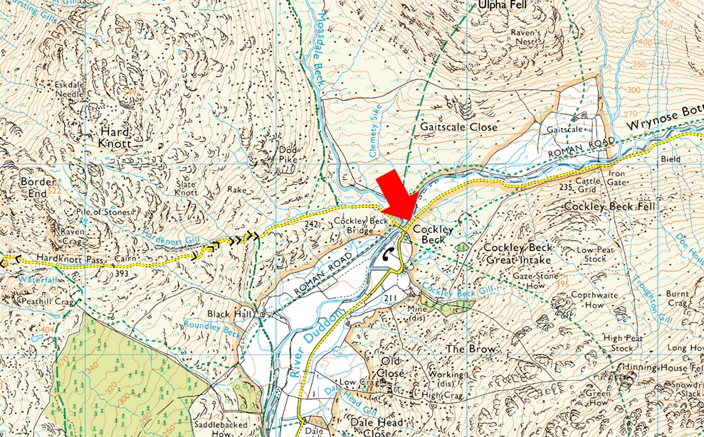
Parking Details and Map |
|
|
| Nearest Post Code: |
LA20 6EQ |
| Grid Reference: |
NY 247 101 |
| Notes: |
It is often the most smallest parking places in Lakeland which offers the most grandest of walks and parking at Cockly Beck is just that. With access to some of Lakelands most secluded and wildest valleys yet there is room for around half a dozen well parked cars at Cockley Beck therefore arriving early is key to the start of a great day on the Eskdale Fells. Found directly in between Wrynose Pass and Harknott Pass parking at Cockley Beck can be difficult at the best of times and it pays throughout the Winter months to check the forecast before due to the icy conditions which affect the pass, even if the roads are not icy the valley temperatures fall dramatically along the pass so please check before you leave. Parking is free. |
|
| |
|
Map and Photo Gallery |
|
|
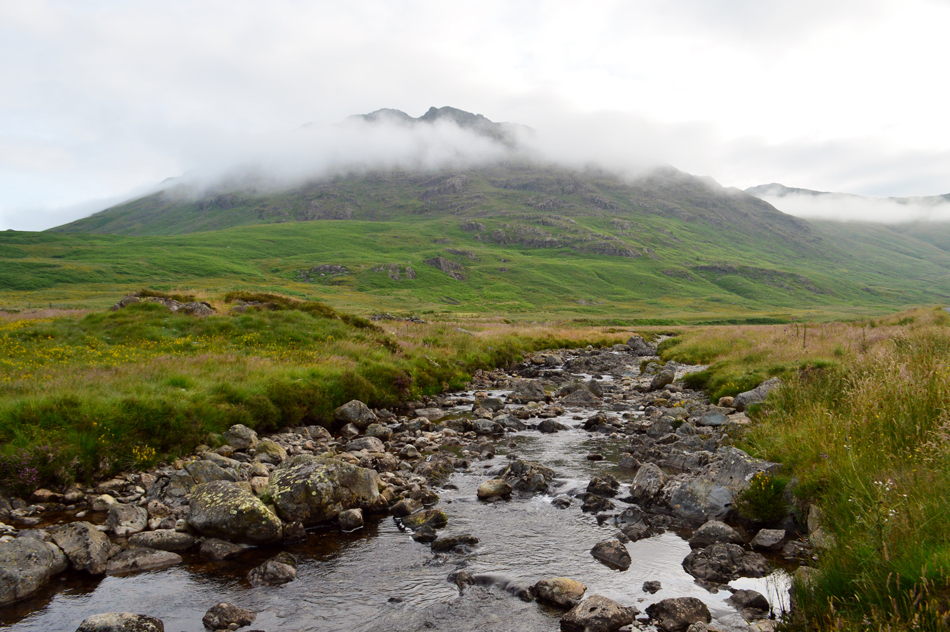 |
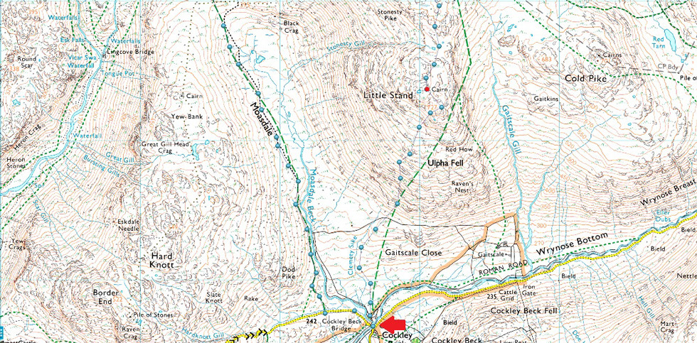
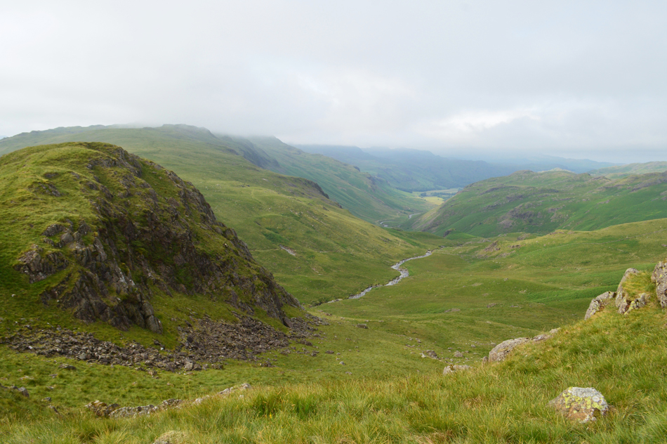
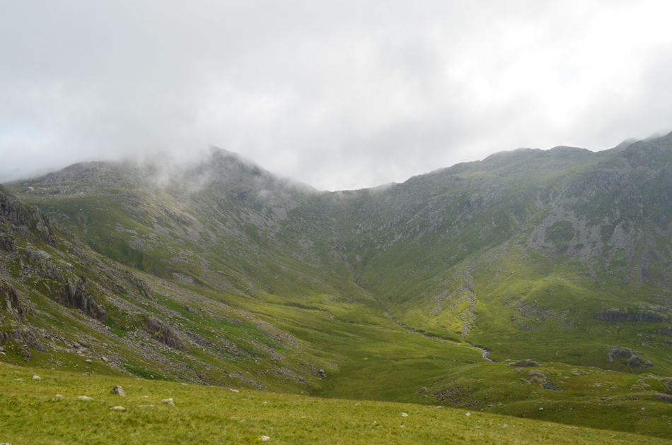
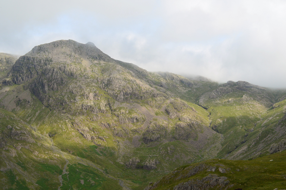
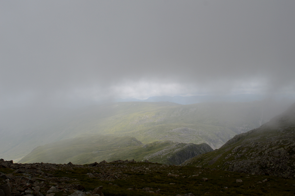
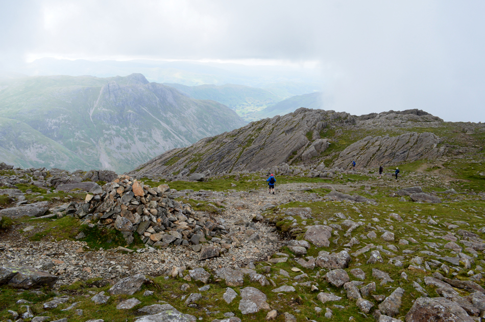
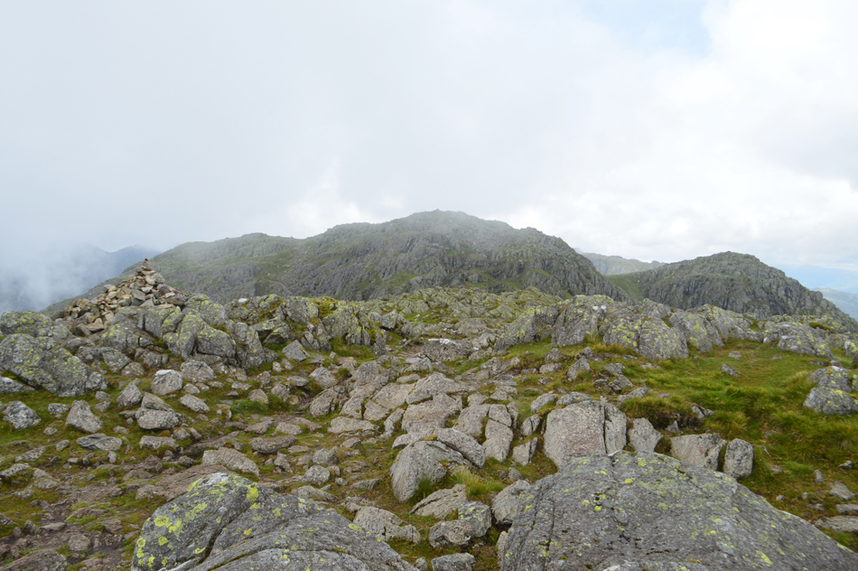
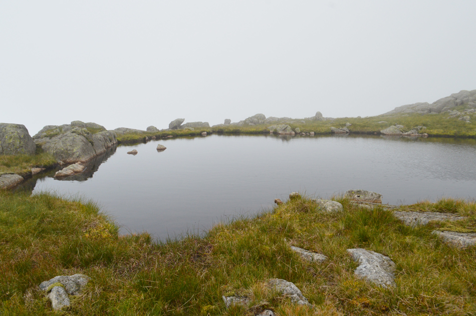
| Little Stand from Mosedale Beck 08.10am 13°C |
| We weren't too bothered about the low cloud for now which was hopefully due to break up late morning early afternoon while right now the morning is feeling pretty humid, the low cloud I guess was trapping the heat making things feel very sticky indeed. |
 |
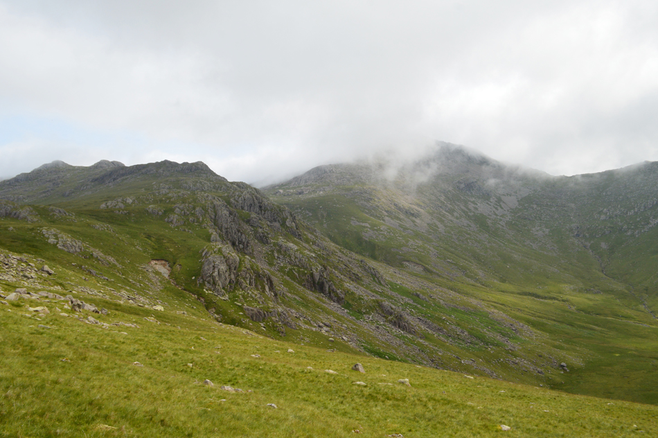
| Heading into Mosedale. |
| While watching the cloud clear over Adam-a-Cove. |
 |
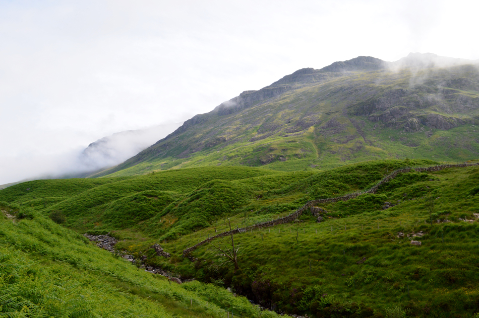
| Mosedale. |
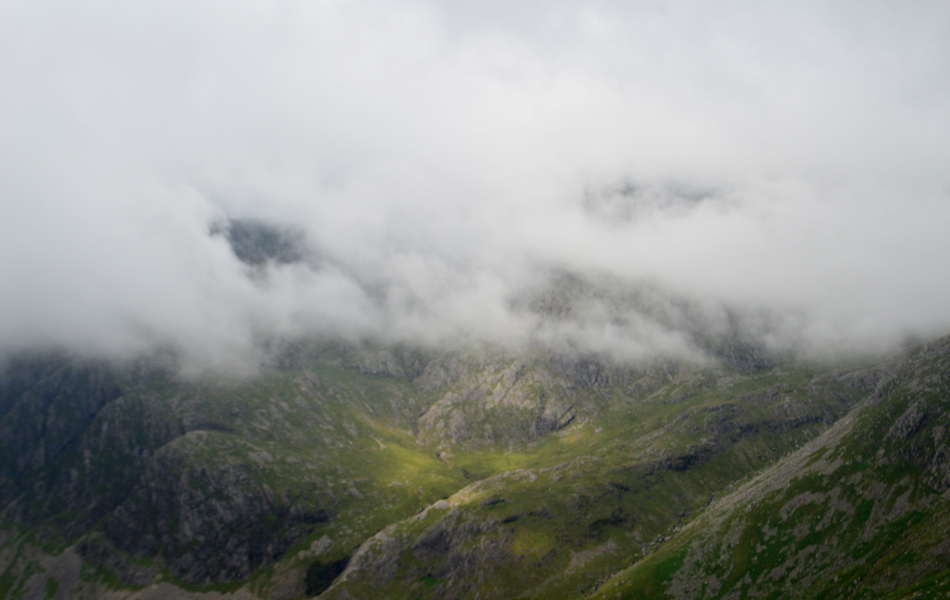
| From here our eyes should be treated to grand views over Slight Side and the Scafells but it's just a wall of cloud for now. Our path continues along the eastern flank of Yew Bank where up ahead conditions underfoot were about to get very squishy indeed. |
 |
| Pianet Crag, Long Crag and Low Gait Crags from the head of Mosedale. |
It was staggeringly humid and I was dripping in sweat by the time we reached the head of Mosedale. It wasn't spoke of but I knew we both were wishing we'd get a view of the Scafells and instead we were treated to the same stagnant cloud we'd seen from Mosedale earlier. Our route will see us cross Lingcove Beck below then ascend steeply flanking Pianet Crag, Long Crag and Low Gait Crags to our left before reaching todays first summit of High Gait Crags.
If anything was going to stretch the legs gaining High Gait Crags over sometimes pathless ground will. |
 |
| We take in the views beyond Pianet Crag with Yew Bank and Hard Knott. |
| Whose summits are still below the cloud. |
 |
| Greenhole Crags, Pike de Bield Moss and Yeastyrigg Crags from Low Gait Crags. |
| I for one was starting to struggle with the humidity breathing far too much into my lungs than what was coming but this was soon forgotten as we started to see the cloud break over the Yeastyrigg Crags ridge which gave us a much needed morale boost to reach High Gait Crags. |
 |
| Now without the zoom. |
| We continued steadily and passed Long Crag then the cairned summit of Low Gait Crags to our left at which point the cloud continued to break over the Yesteryear Crags ridge, |
 |
| We pause to look back on Adam-a-Crag below Crinkle Crags. |
| Where more cloud was starting to clear. |
 |
| Bow Fell and Three Tarns seen above Green Hole. |
| Conditions are changing rapidly revealing the Yeastyrigg Crags ridge in all its glory with even a little sunshine breaking through. |
 |
| Along with Bow Fell (in cloud) |
| |
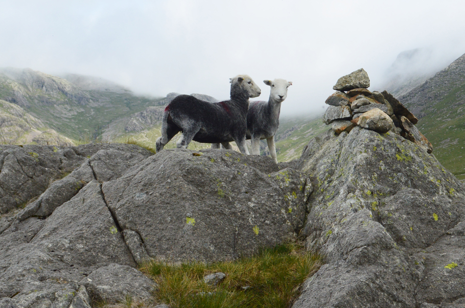 |
| High Gait Crags summit posers. |
| High Gait Crags was reached after what felt like a drawn out ascent put down to the humidity which continued to rise, on the plus side we were met by a cool summit breeze which under any other circumstances might have seen us reach for an extra layer. |
 |
| The view over Great Moss towards Eskdale Buttress, Pen, Scafell Pike, Broad Crag and III Crag from High Gait Crags. |
| |
 |
| III Crag from High Gait Crags. |
| That's Cockley Pike seen centre right with Esk Hause over on the far right still below the cloud. |
 |
| Sca Fell. |
| This is the area of high ground directly below Sca Fell band Long Green with Cam Spout Crag seen leading away towards the left. |
 |
| Now less the zoom. |
| With High Gait Crags lower left. |
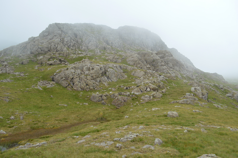 |
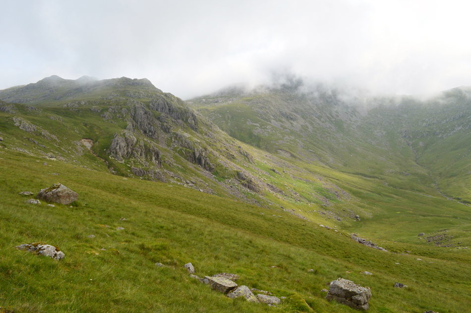
| Pike de Bield from Yeastyrigg Crags. |
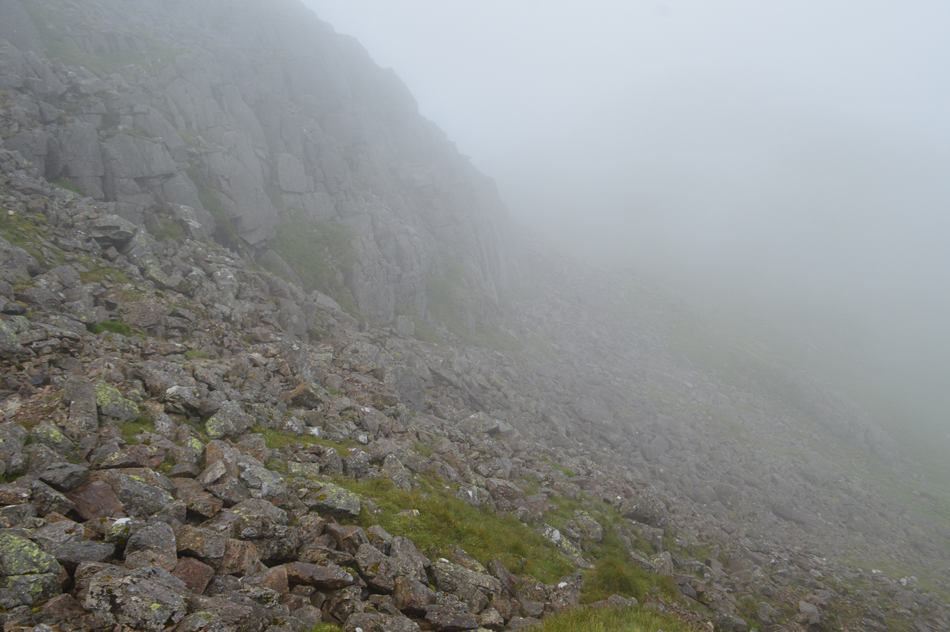
We are both familiar with the Yeastyrigg Crags ridge which is best ascended via the right which avoids the steep scrambles, a good footpath can be found but in such conditions as we had today we managed to miss the summit cairn of Yeastyriggs Crags in the low cloud. It was only after we had ascended this rocky buttress did we realise our mistake but thankfully there was no need to go back as visiting the summit was a personal choice and isn't included in Birketts version of this walk.
Just for fun we ascend the rock buttress via the scree gully seen separating the two crags. |
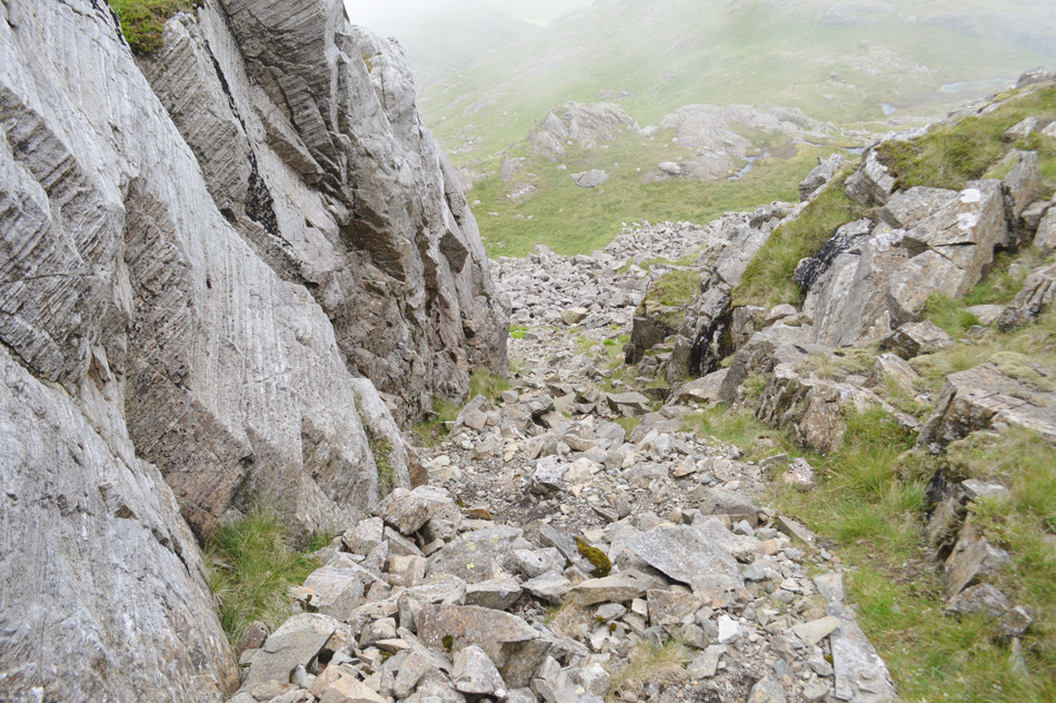 |
| Looking down the gully. |
| It didn't look that steep from below...nevertheless it was great to ascend our mini 'Lord's Rake' |
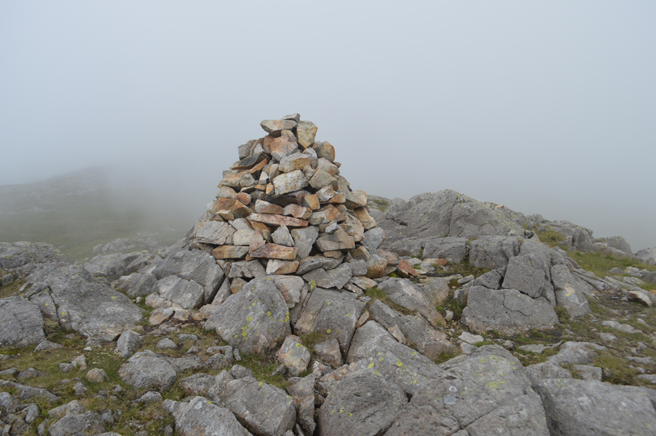 |
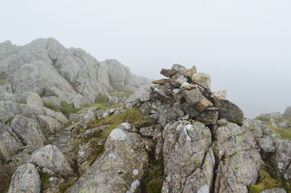
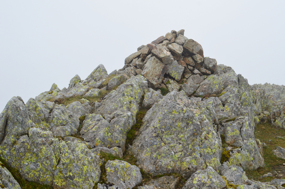
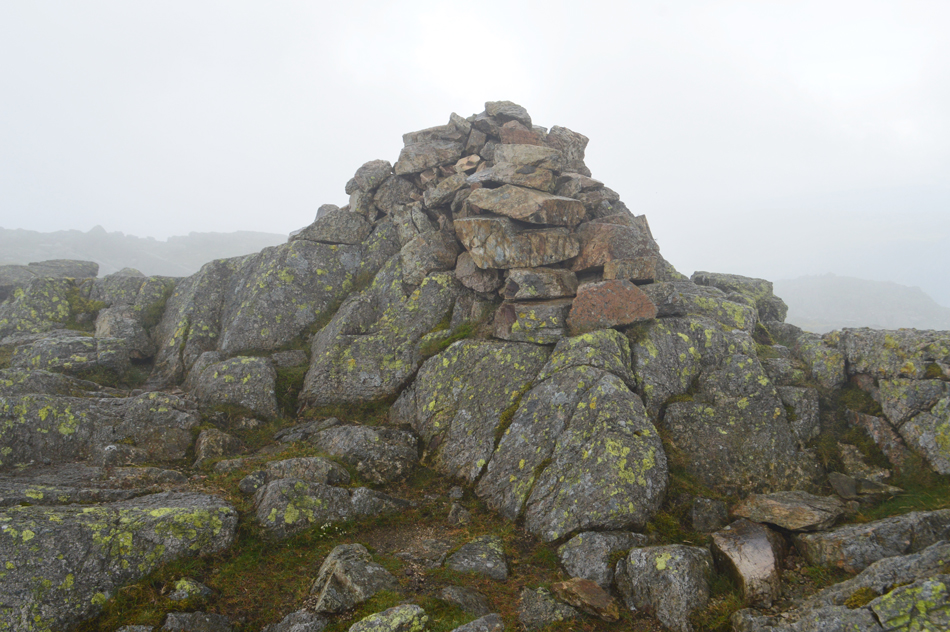
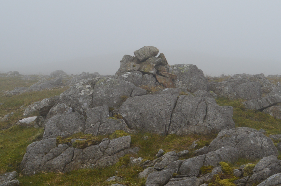
| The Gerry Charnley Cairn 1929 - 1982 |
| From the top of the Buttress and through the cloud the Gerrry Charnley memorial cairn appeared which would put any cairn on the popular fells to shame! It's often the seldom visited summits where you find such dedication to the summit cairns. |
 |
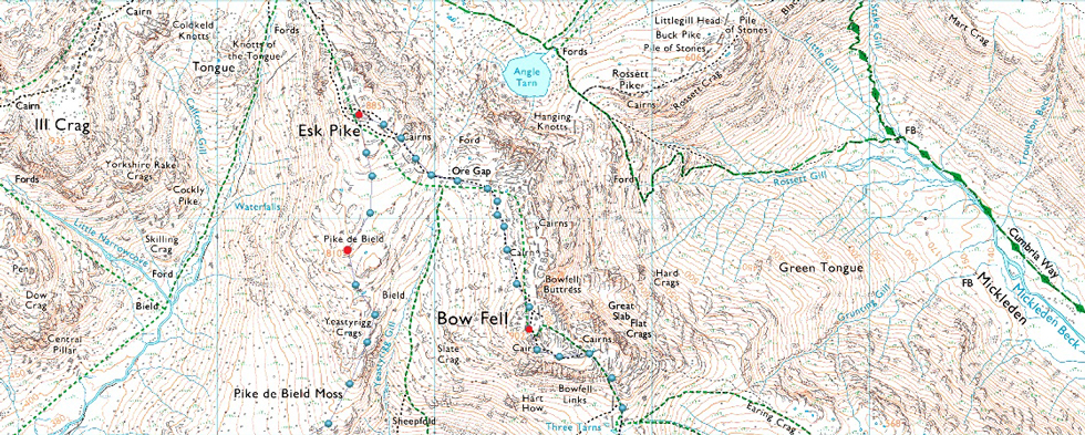
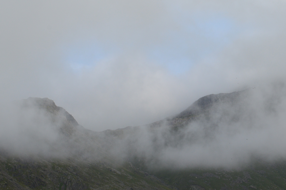
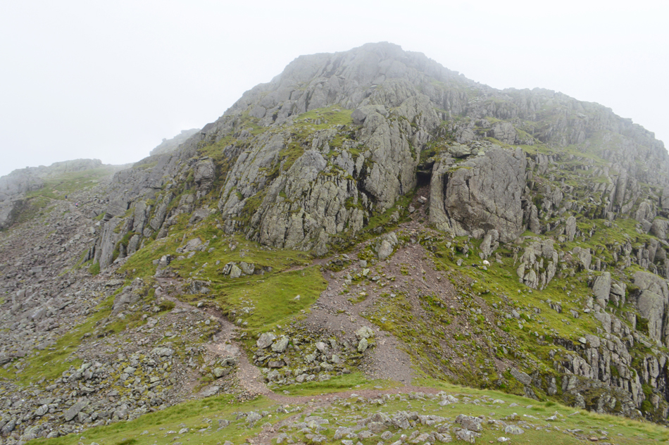
| Through the murk, the summit out crops of Esk Pike start to appear. |
| |
 |
| Esk Pike summit. |
The cloud was trapping the cool air which thankfully helped to cool things down which made the ascent of Esk Pike that bit more comfortable. We hadn't seen a soul with the exception of a wild camper in Great Moss. We clambered our way over the summit rocks and one by one arrived at the summit and were soon joined by a group of fell runners who appeared through the murk from the direction of Ore Gap.
We'd been in our own company since setting off which was all about to change with more and more fell runners heading towards Esk Pike. |
 |
| Rossett Pike as we begin our descent towards Ore Gap. |
| |
 |
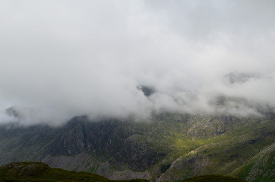
| Hanging Knotts seen beyond Ore Gap. |
| We'd accustomed ourselves to the cloud knowing from experience and conditions that we were likely to be in it for the duration, with no signs of a let up we continued to maintain high spirits and crossed Ore Gap along with half a dozen fell runners and walkers alike. |
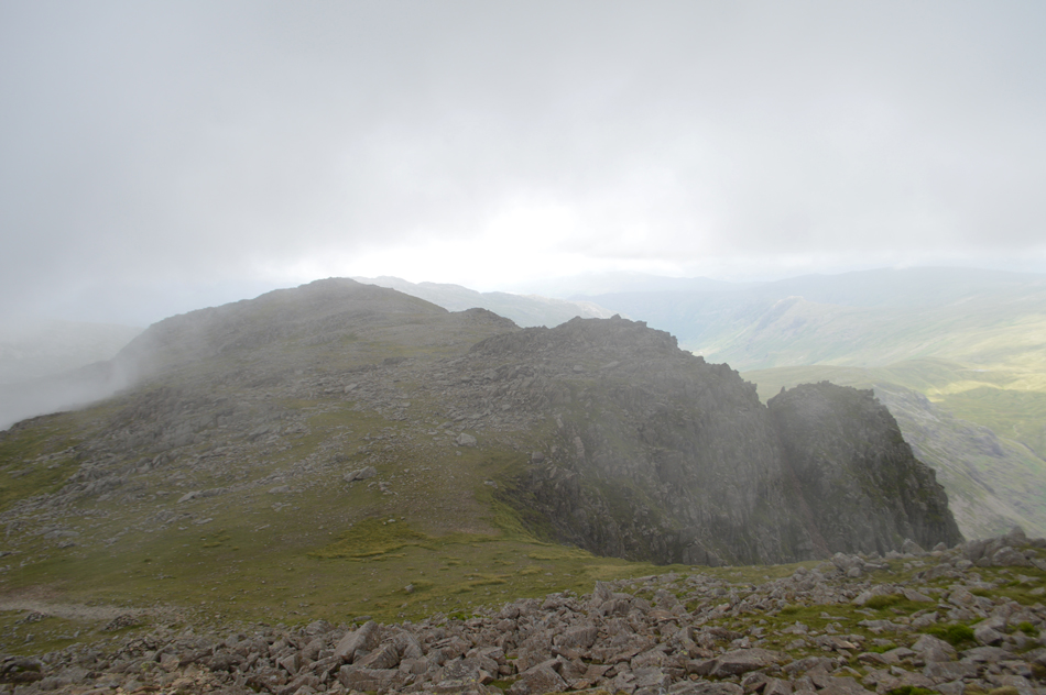 |
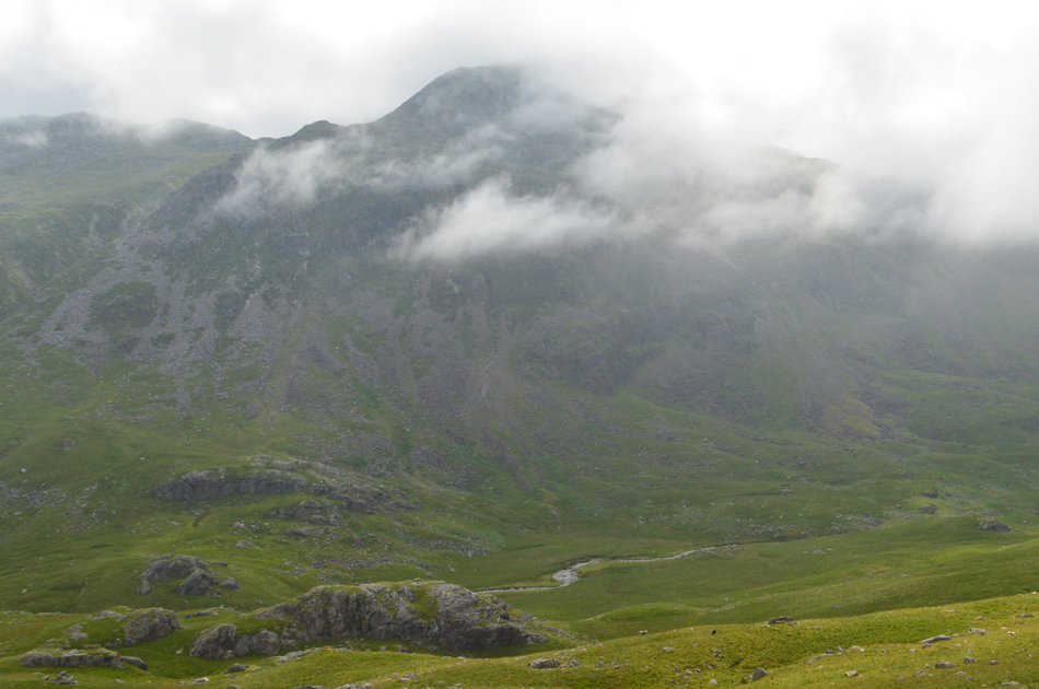
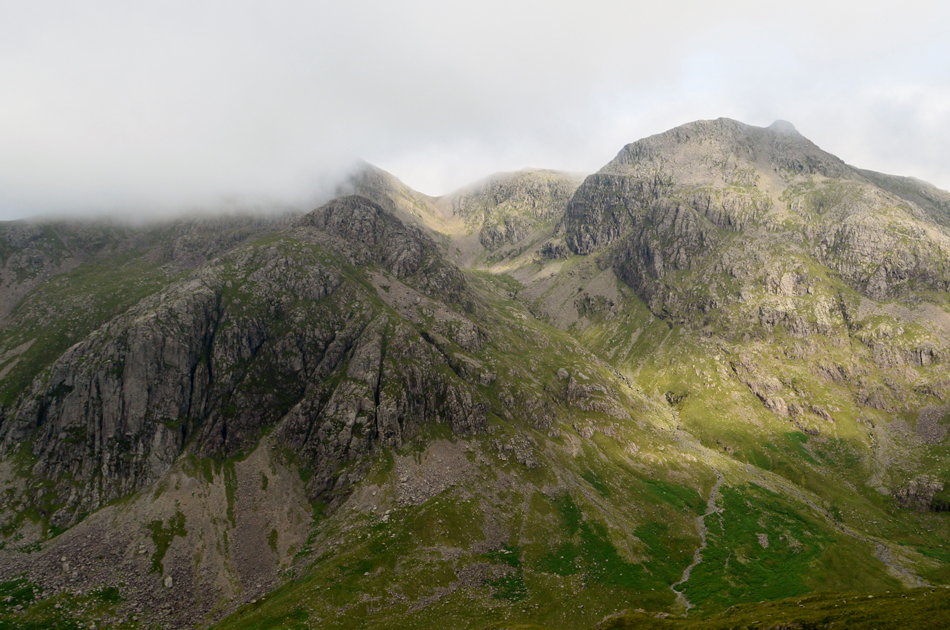
| Shelter Crags and Bowfell Buttress appears through the cloud. |
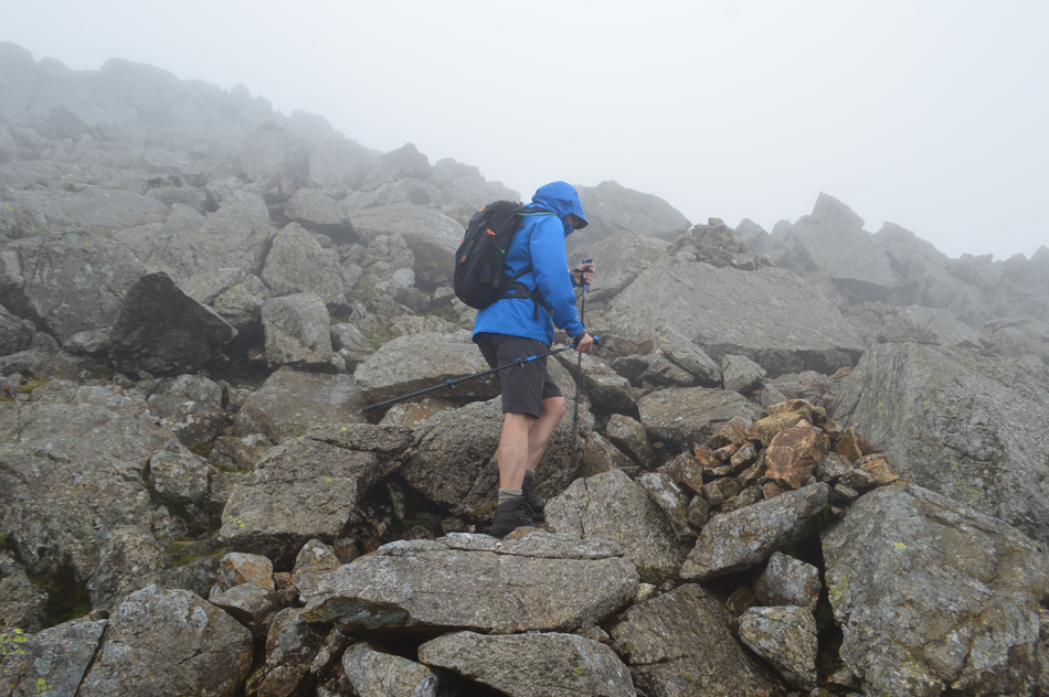
| We continued to follow the path where Rod had asked even though we weren't on route should we pay a visit to Shelter Crags and Bowfell Buttress? The deal was only if it clears, the good news was it did clearly briefly, the bad news was it had started to rain first with spots in the air followed by a steady downpour which would stay with us all the way to Little Stand. |
 |
| Bowfell summit. |
| Even though it had started to rain it was still very humid which made adding waterproof jackets to already steaming body's meant my body temperature was set to rise. Uncomfortable wasn't the word but with such an arduous route in such conditions ahead it was best to keep as dry as possible even it meant we were uncomfortable. |
 |
| Passing the top of the Great Slab. |
| Summit time was brief and with wet rock underfoot descending from the summit was slower than usual. This aside Bowfell was still a very busy place with walkers ascending alongside the Great Slab and heaps more from the direction of Three Tarns, some wise enough to pack waterproofs, others not. |
 |
| Passing Three Tarns. |
| We made good progress descending Bowfell even when one chap decided to stand right in front of me consequently blocking my next two steps, I was so close I could read the writing on his jacket zipper but he refused to move. By now the rain was pretty constant and my mood was direct, I said now't and sighed past him. We reached Three Tarns at a point where personally my morale dipped (Rod if your reading this you weren't to know) Mainly due to how potentially difficult locating Shelter Crags followed by all five separate Crinkles is going to be under such conditions. The next hour or so is going to require our map reading skilles to be at their best. |
 |
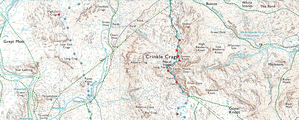
| Shelter Crags summit cairn. |
| With morale lifted we followed the path towards the first of six summits collecting Shelter Crags first, this, after leaving the path prematurely only having to re-ascend after realising our mistake. |
 |
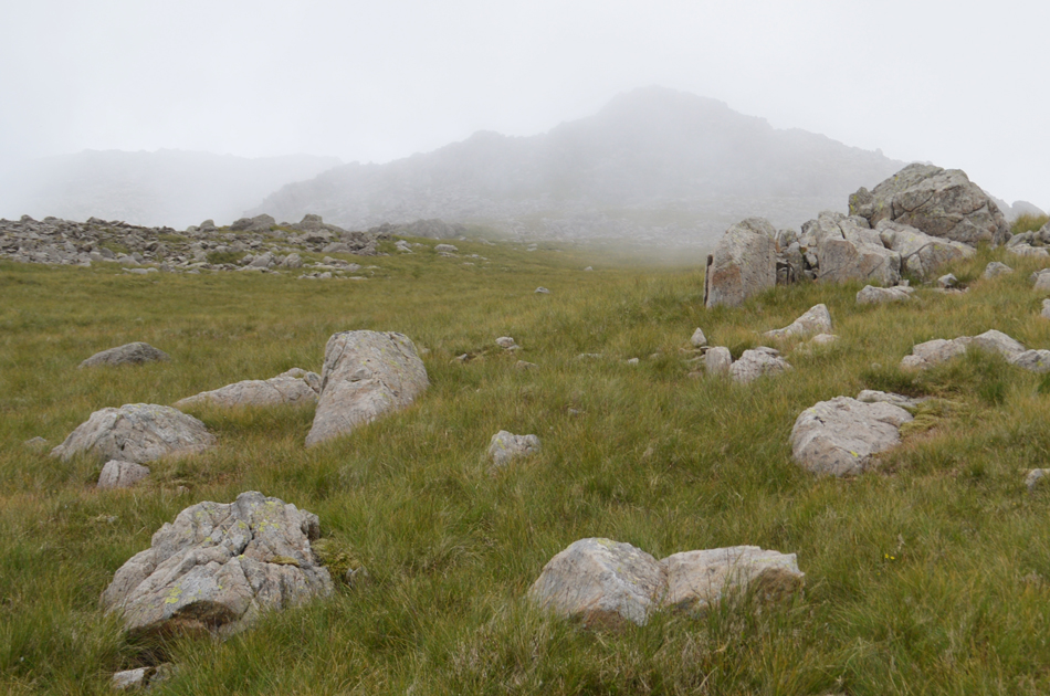
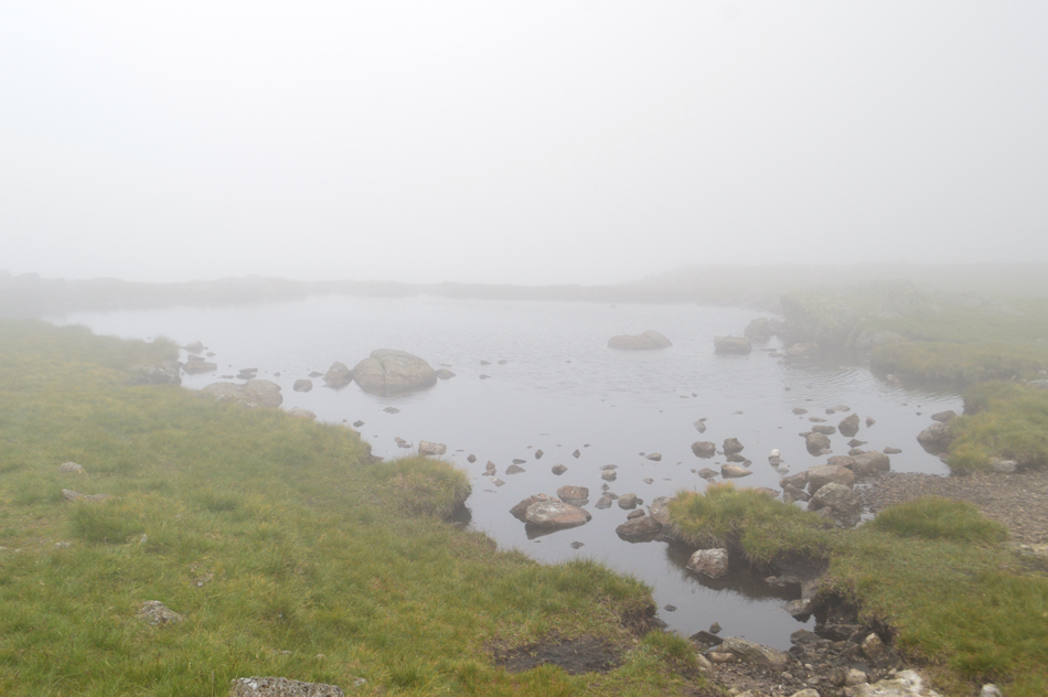
| The familiar Tarn West of Shelter Crags. |
| The cloud might be down but this tarn found just below Shelter Crags summit lines the route towards the fifth Crinkle (Gunson Knott) (if travelling north to south) |
 |
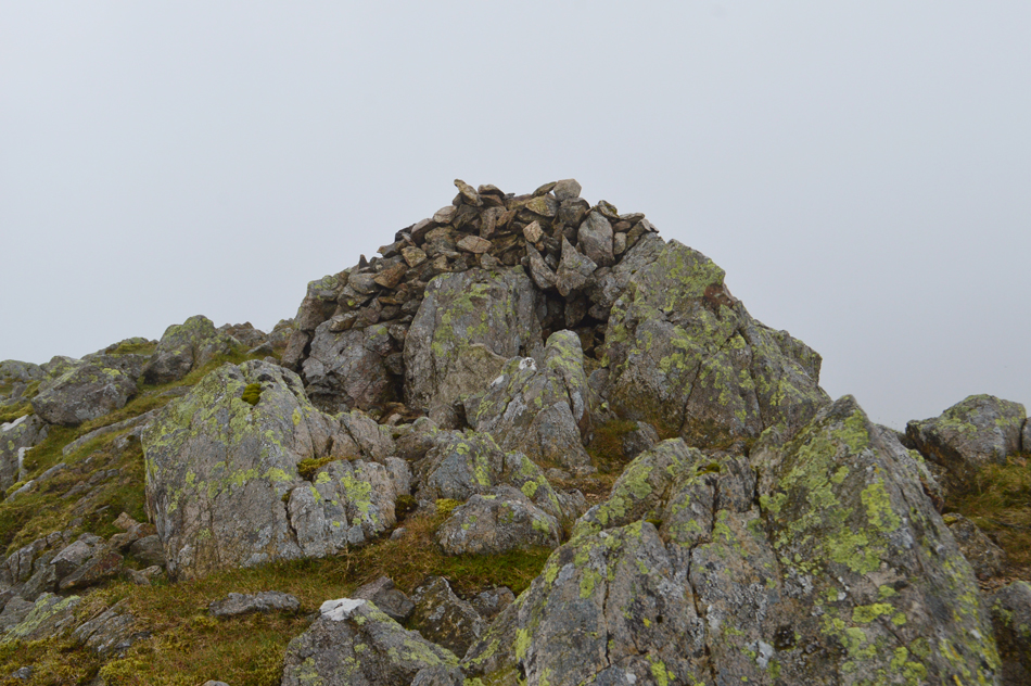
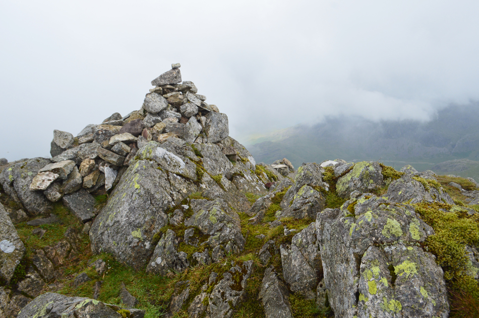
| Fifth Crinkle (Gunson Knott) summit cairn. |
| We continued to follow the path passing walkers along the way before arriving below the fourth Crinkle. |
 |
| Fourth Crinkle summit cairn. |
| It was just a short and steady ascent to reach the summit and no sooner had we arrived we were on our way back down. |
 |
| Rod ascends the Third Crinkle. |
| It was here we are passed by a fellow carrying a mountain bike over his shoulder. Bonkers!! |
 |
| Third Crinkle summit cairn. |
| With visibility still low and rain tumbling from the skies we reached the Third Crinkle just as a group was about to descend who asked us the way towards Three Tarns, we of course obliged advising them to stick to the path at all times. |
 |
| Second Crinkle (Long Top) summit cairn. |
| From the third Crinkle and through the mist we were able to get views over towards the main summit of Long Top where I attempted to take some photos but hadn't realised my camera lense was smearing. After passing a family taking bearings with a map and compass we arrived at Long Top surrounded by cloud and rain, delighted we had reached the main summit we stilll had a way to go and I'm sure Rod would agree when I say we just wanted this cloud and rain to clear. |
 |
| Descending Second Crinkle (Long Top) |
| Birkett had advised to descend the summit via the Bad Step which we both agreed wasn't advisable in wet conditions so we de-toured around and took the path which navigates around the back of the summit. |
 |
| Looking back on Second Crinkle (Long Top) |
| With the Bad Step seen below and the alternative descent/ascent route over to the left. |
 |
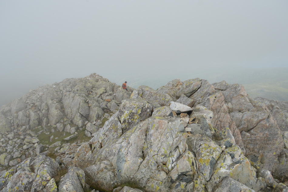
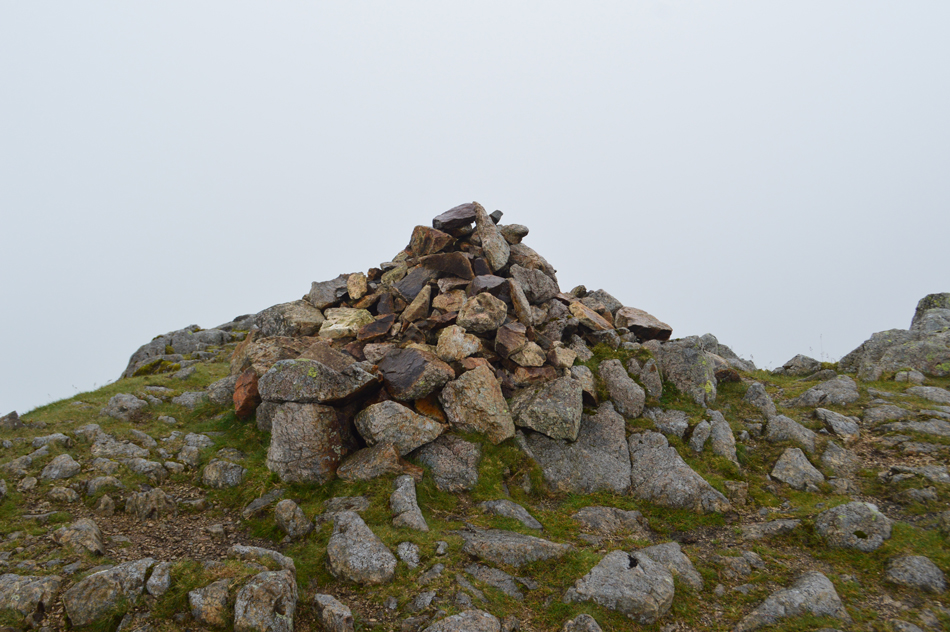
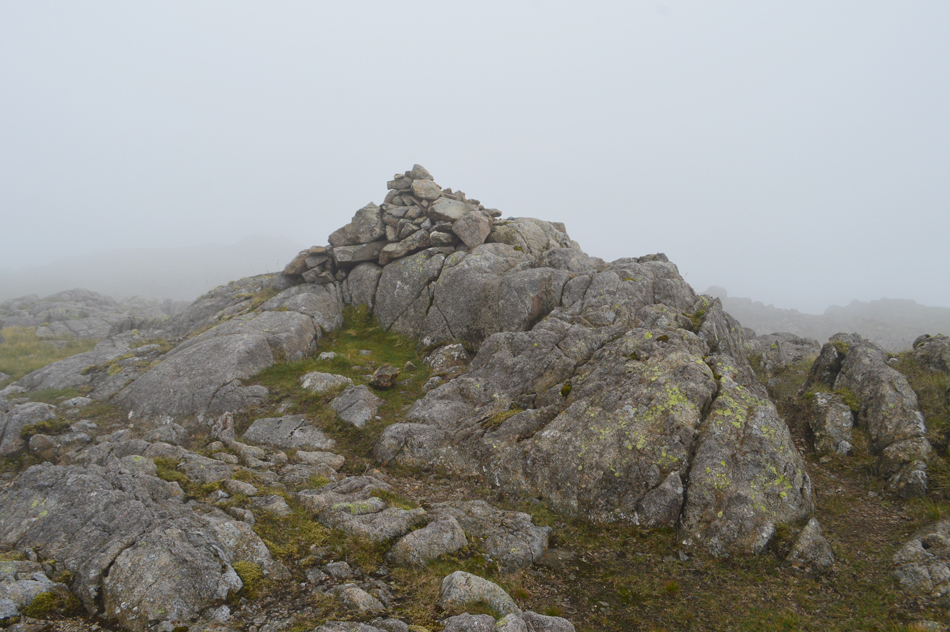
| First Crinkle summit cairn. |
| Looking like two drown't rats we ascended the first Crinkle only to look back finding the cloud was starting to lift from the summit with clearer views as far as the Helvellyn range. |
 |
| Crinkle Two (Long Top) and Crinkle Three from Crinkle One. |
| |
 |
| Stonesty Pike summit. |
We descended Crinkle One and made a direct line towards an outcrop of rock around fifty yards north of Stonesty Pike summit which offered better shelter than what Stonesty Pike could, here we broke out lunch within the murk and rain but it didn't matter, it was 14:30pm and the pair of us had been complaining how hungry we were since lunch time, rain or not we would eat in shelter.
The cloud dropped and thickened considerabley until the summit rocks of Stonesty Pike disappeared in the murk by which time we had fed our bellies and were ready to leave our shelter stopping only to take this photo of Stonesty Pike summit as we passed. |
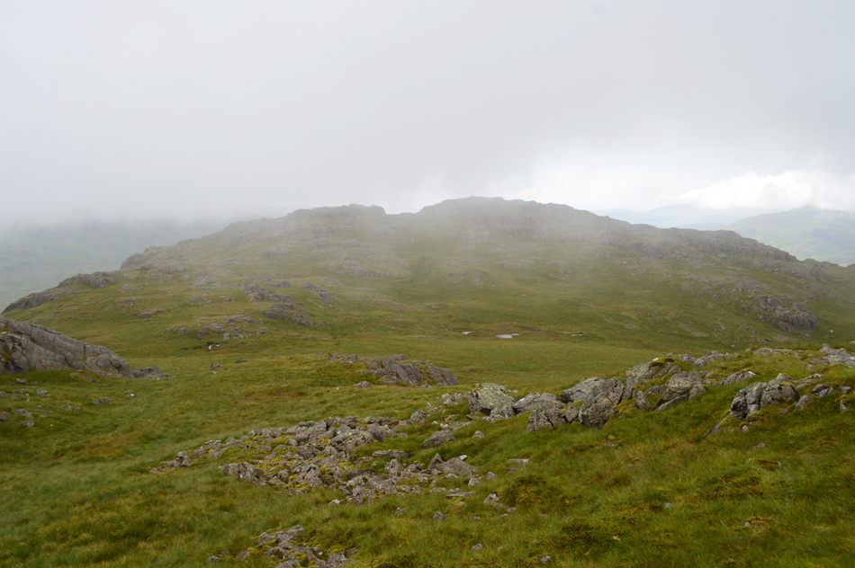 |
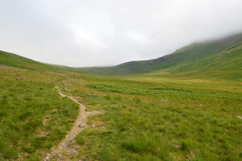
| Through the cloud, Little Stand appears. |
The cloud was probably at the lowest we had seen all day and reaching Little Stand via the south ridge took some navigating, on reaching this depression the cloud cleared enough for us to spot Little Stand in the distance.
On every occasion I have visited Little Stand it's been a glorious day and by now I'd be on the brink of running out of hydration and cracked lips to boot, today the contrast couldn't have been further apart. |
 |
| Little Stand summit. |
| |
 |
| We pass the summit Tarn. |
| Feeling slightly deflated we passed the two tarns before checking our postion on the map, Birkett recommended to descend via a grass grove which was easily located to the right of the Tarns. |
 |
| Slight Side, Sca Fell and Scafell Pike from the descent of Little Stand. |
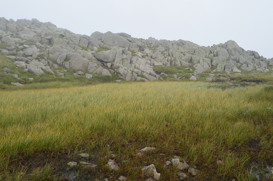
We had located the gully and began the steep descent while negotiating rock and boulder which was slow but easier underfoot than that of the south nose of the fell which is made up of a series of rock ledges, some of which require four point contact to descend by. The gully plateaued westwards along a fine grassy shelf which over looked Mosedale, we spotted a Rescue Helicopter flying so low we were actually looking down on its rotors as it flew the length of the Mosedale valley then pulled up over Slight Side and out of sight.
Our descent still wasn't over with a second steep descent where again boulders were negotiated most of which were hidden beneath carpets of Bracken, even though this descent was still slow we still rated it higher than the rock shelf route via the south nose. |
 |
| Slight Side, Sca Fell, Scafell Pike and III Crag from Mosedale. |
With the best part of the descent behind us we traced through Bracken while 'eyes rolled' at our unfolding views and even though we were less than half a mile from the cars we down packs and de-layered allowing the mid afternoon sun to 'air us out' while walking back to our cars. The grass is gentle underfoot and with Cockley Beck Bridge just yards away we cross Mosedale Beck while giving our boots a swill at the same time. Three cyclists roll to a stop while Rod and I look up at the traffic jam forming on the Wrynose side of the Hard Knott Pass "any idea what's happened lads?" "aye, a car has broken down on one of the bends and a tow truck has jammed the pass trying to recover it, it's trying to reverse down right now"
And we thought we'd had some bad luck today... |
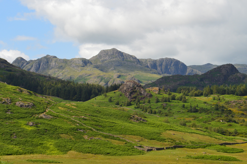 |
| Side Pike and The Langdale Pikes from the bottom of Wrynose Pass. |
| You wouldn't believe it was the same day would you! Until next time. |
|
| |
| Back to top |
 |
|