Walking the Birketts, Grisedale Pike by the North Ridge

2nd August 2019

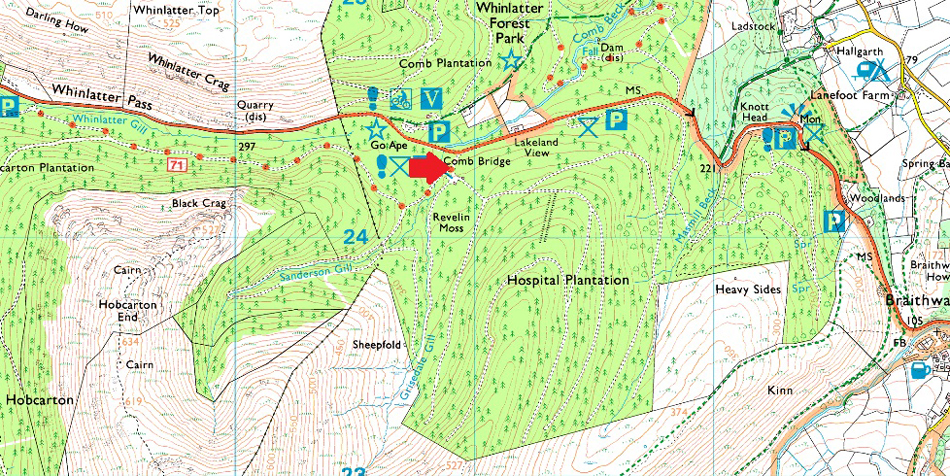
It's fair to say we've had the craziest of weather this past couple of weeks from record breaking temperatures to flash flooding both of which had an affect on my fell time the latter being the biggest culprit. With my granddaughter reaching one this weekend getting out for a walk was about to take a back seat that was until I managed to wrangle half a day off on Friday afternoon. The forecast looked dry and bright so I took to my Birkett book and came up with this short walk where I would follow Birketts footsteps on Grisedale Pike via the North ridge.

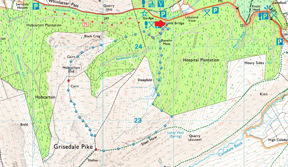
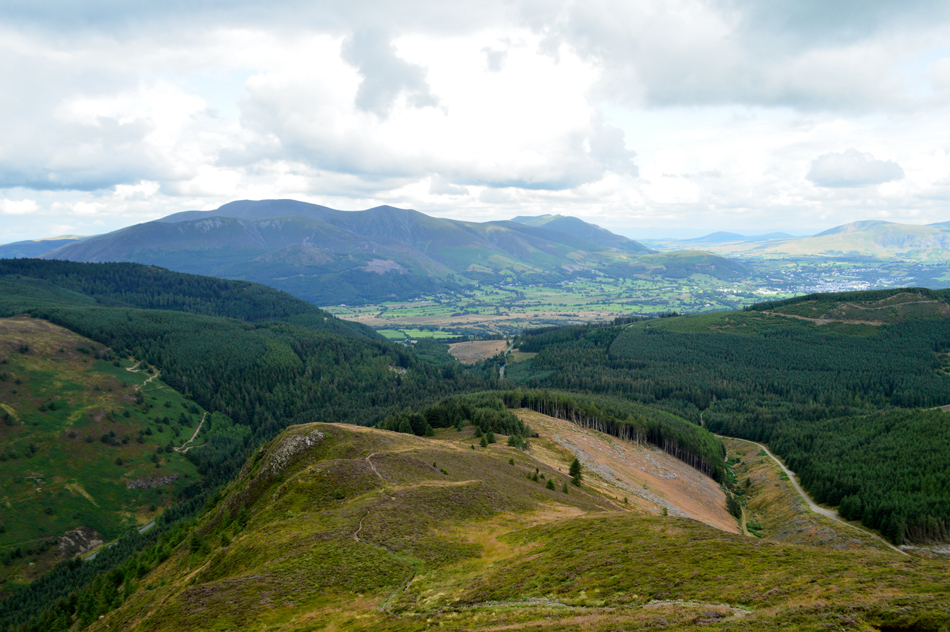
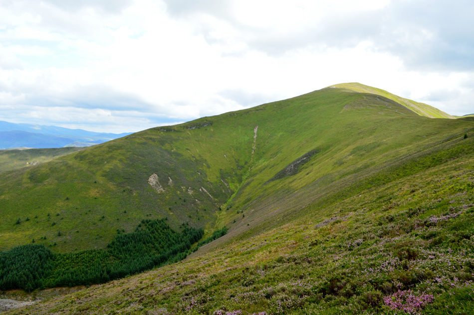
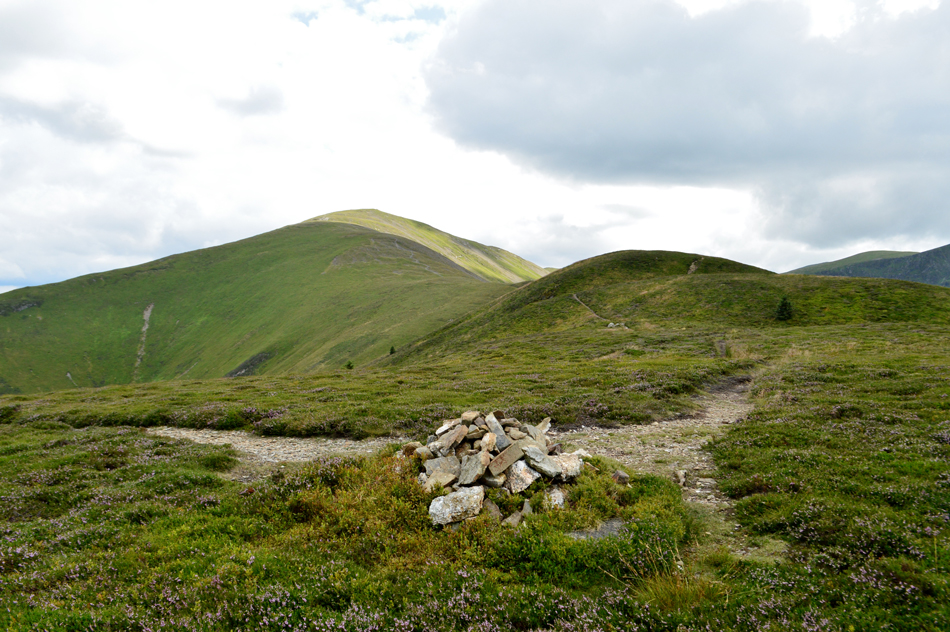
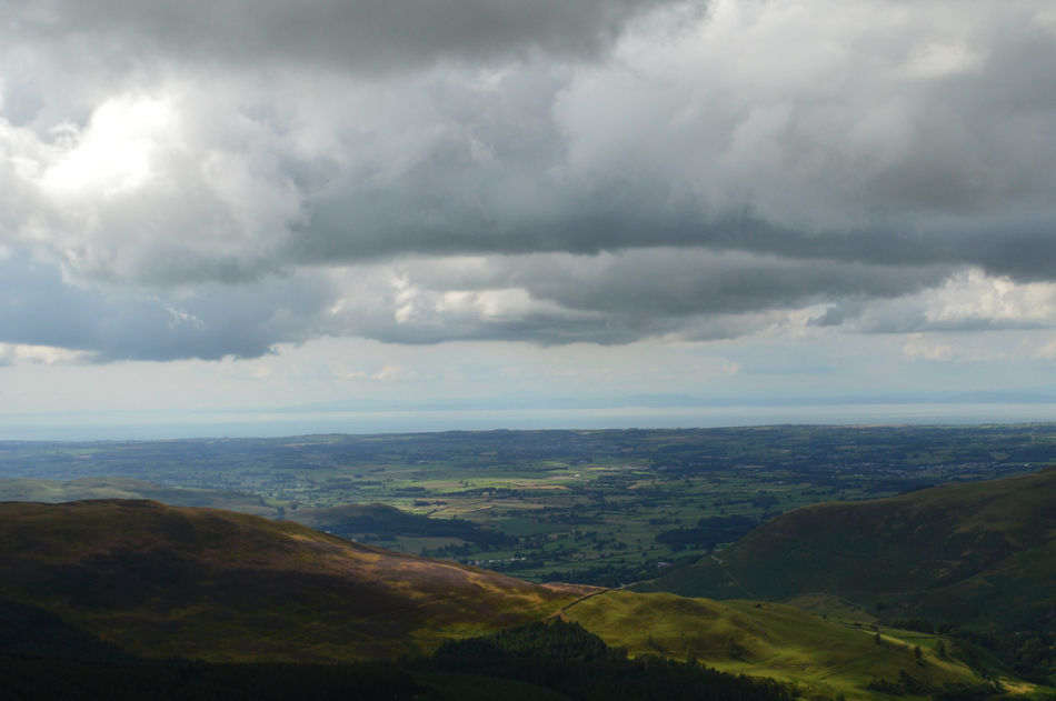
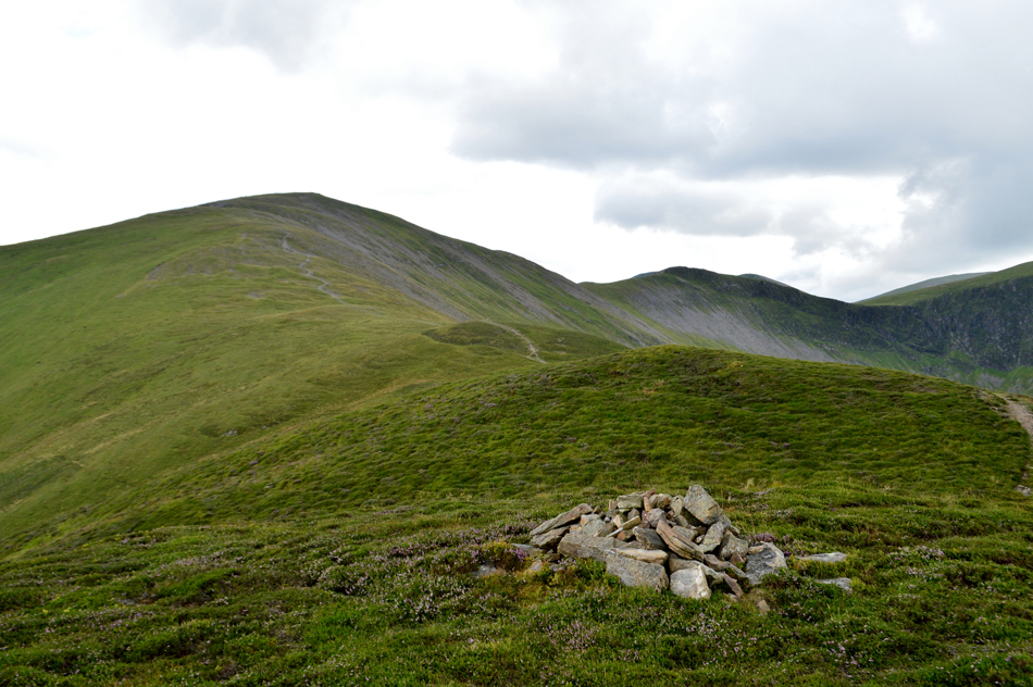
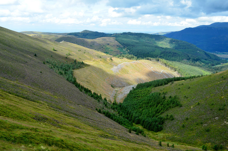
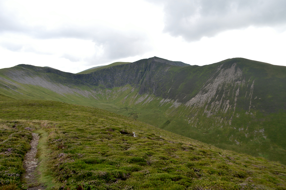
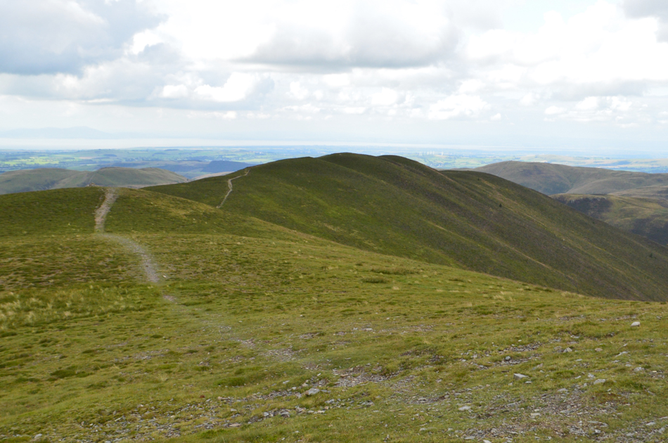
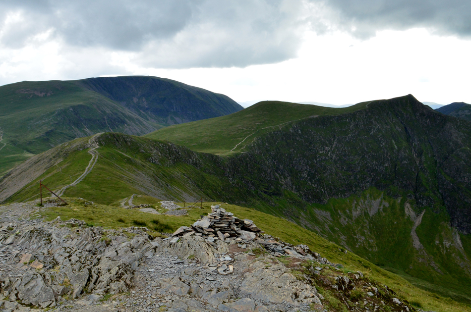
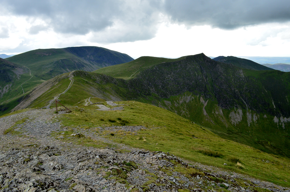
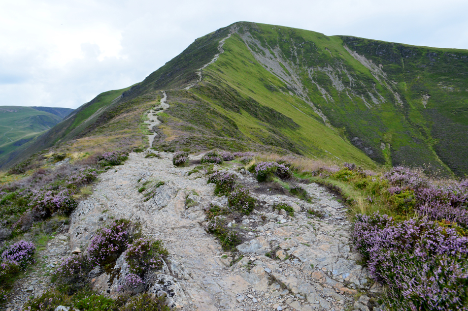
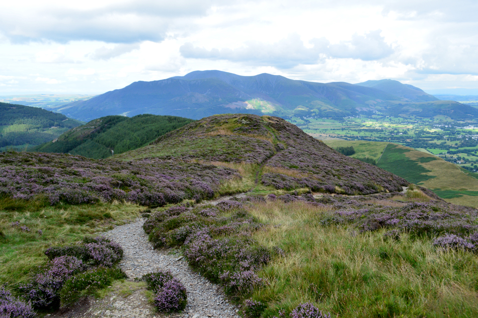
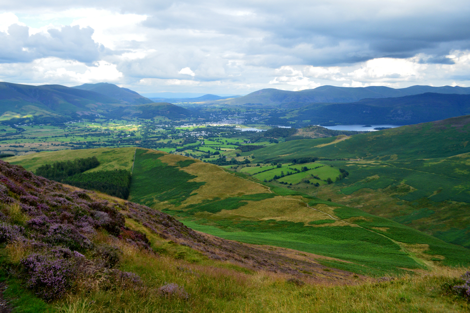
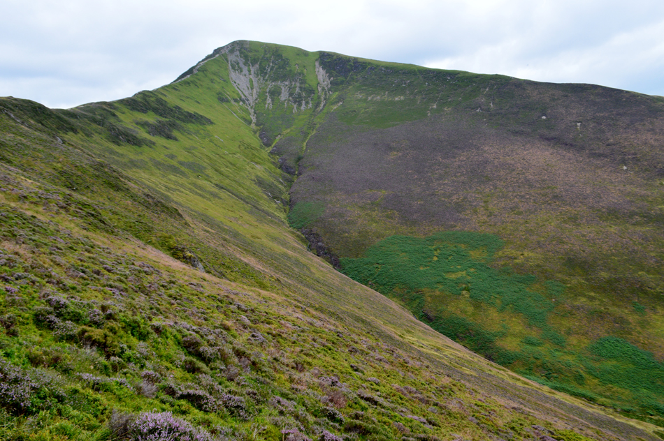
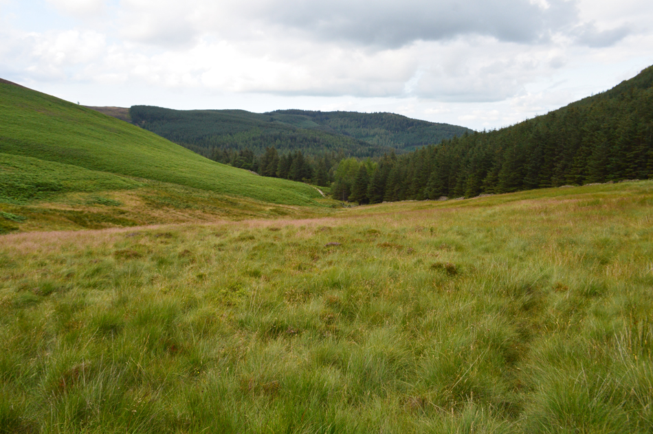
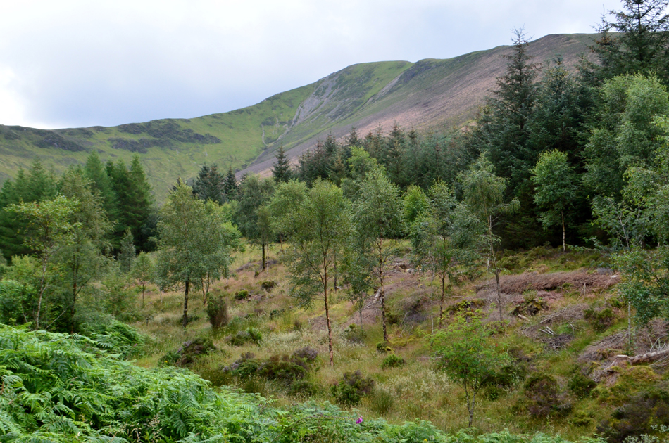
Grisedale Pike's North ridge is flanked by the Hobcarton Plantation to the West and the Hospital Plantation to the East therefore it isn't a popular choice of ascent/descent than the East ridge above Briathwaite, accessibility can be tricky having to negotiate the forestry paths first but once the ridge is gained your kinda left thinking 'why haven't I tried this before' the surrounding view is unbeatable to the North and West with only a patch work of fields dividing the Cumbrian coast from the North Western fells, this I feel you don't experience from the East ridge. If you haven't walked the Grisedale Pike's North ridge before my advice is to try it, you won't be disappointed.

 
The Complete Lakeland Fells
By Bill Birkett

-Hobcarton

To the right, up the vale of Hobcarton stands Hopegill Head. The Black and rather awesome looking cliffs of Hobcarton Crag lie below.


Overview
Ascent: 1,705 Feet - 520 Metres
Birketts: 2, Hobcarton End - Grisedale Pike
Weather: Partilay Cloudy With Some Sunny Periods, Light Winds. Feeling Humid. Highs of 22°C Lows of 20°C
Parking: Revelin Moss Car Park (Comb Bridge) Whinlatter
Area - Group: North Western - NW/GRI
Miles: 4
Walking With: On My Own
Ordnance Survey: OL4
Time Taken: 3 Hours
Route: Comb Bridge - Hobcarton Plantation - Black Crag - Hobcarton End - Grisedale Pike - Sleet How - Hospital Plantation - Revelin Moss - Comb Bridge
 

Parking Details and Map for Revelin Moss Car Park (Comb Bridge) Whinlatter
Nearest Post Code: CA12 5TW
Grid Reference: NY 209 242
Notes: Operated by Whinlatter Visiter Centre Revelin Moss Car Park offers a great alternative to hit the Whinlatter Forest Trails giving easy access to Grisedale Pike North and North West ridges. Charges apply and are in line with the Lake District National Park.


Map and Photo Gallery


Revelin Moss Car Park, Whinlatter 15:00pm 22°C

Having left Manchester around 12:20pm I arrived in Whinlatter around 3pm after encountering delays on the M602, M61 and the M6. I wasn't in any rush and arriving later than planned didn't really matter with a descent forecast lasting the best part of the day. Besides a couple eating lunch on a wooden table opposite the car park mine was the only car on the car park so I parked out of eyeshot knowing I had to change from my shirt and trousers into my walking gear. It didn't take long to change into my gear and soon I was ready to leave but first I needed to pay the parking meter which I soon found you only pay on return as the car park which is monitored by close circuit cameras from the Whinlatter's Visitor's Centre, great thats me changing from my work gear into my walking gear has just been caught on camera!

Now here's the tricky part because checking your map here can be slightly confusing in the real world. There is a lower forestry path over on the right and to gain it requires a slight descent through the trees via a narrow path easily seen about 60 yards up ahead. Descend onto the path and head left, this is the main path required to reach Black Crag and Grisedale Pike's North ridge thereafter.


Grisedale Pike North East ridge appears above the Plantation.
The forestry path climbs steadily and then levels where I pass this right turn, I ignore it and continue straight ahead before the Plantation opens out to views of the North East ridge just after taking a right bend. To the left a cutting through the trees provides access onto the North East ridge while to the right a second cutting or firebreak provides access to the North ridge, I head right into the Plantation while climbing steadily, at this point the North ridge is not visible until the Plantation is cleared.

Looking down on Black Crag, Thornthwaite Forest and the Hospital Plantation from the ascent of Grisedale Pike North ridge.
It was a very hot and humid ascent and with sweat dripping constantly off the end of my nose I got stuck into the ascent while trying not to stop. Below Black Crag I pass a solo walker who is also suffering with the humidity but at least he was in descent to which he looked thankful for. Black Crag is passed and I knuckle down as the path steepens while taking in the view over Whinlatter Top through the corner of my right eye.

Grisedale Pike and Grisedale Pike North East ridge.
I'm not too far from gaining the North ridge now which can be seen to the right of the photo. I've ascended mostly in shade and I'm hoping that the sunshine seen over Grisedale Pike remains until I arrive.

Hobcarton End and Grisedale Pike from the North cairn.
The North cairn was soon reached and I down pack just to allow the breeze chill the sweat covering my back, gross I know but required!

Big skies over the Cumbrian coastal plain.
 

Grisedale Pike and Hobcarton Head seen from Hobcarton End.
Feeling refreshed I left the North cairn and picked up the North ridge towards Hobcarton End found just a short distance away. My total lack of sunshine over my last half dozen walks or so looks set to continue as overcast skies start to make way for the blue.

From the top of Sanderson Gill I took this photo looking out towards Whinlatter and Lord's Seat.
It took some effort to reach this point below Hobcarton End knowing I would only have to make up the ascent afterwards but this view alone more than made up for it even capturing the last of the sunlight before the clouds roll in.

The view over Hobcarton towards Hobcarton Crag, Hopegill Head and Ladyside Pike.
With Grasmoor in the distance.

Looking back on Hobcarton End (Grisedale Pike North Ridge)
Taken just below the last push towards Grisedale Pike.

Grasmoor, Hobcarton Crag, Sand Hill, Hopegill Head and Whiteside from Grisedale Pike summit.
Only minimum effort is required to reach Grisedale Pike from Hobcarton End which I enjoyed in a dawdle like fashion all the while hoping the sunshine would return but on reaching the summit my views were a tad dull but still as dramatic as ever. It was exactly 5'0 clock and with time on my hands I de-shouldered again and took in the views Westwards.


The dramatic skies continued as I started my descent onto the East ridge.
Having spent a good ten minutes sat down I turned heel and began my descent via the East ridge sighting two fell runners picking their way across Sleet How. Directly below and much closer than the fell runners two guys carry their mountain bikes over their shoulders. The fell runners manage to pass the guys soon followed by myself while ascending the only way fell runners do with hands over knee.

The Hospital Plantation, Kin Skiddaw and Blencathra from the bottom of Sleet How.
Having picked my descent down Sleet How the ridge levels and Kin came into view followed by The Hospital Plantation beyond. Birketts choice of descent descends the ridge to Grisedale Gill via the tree line, it's a first time for me and my trained eyes are telling me to prepare for a steep descent.

Sleet How and Grisedale Pike.
 

i Continue left towards Hospital Plantation.
Rather than bearing right onto Kin.

Kin, Barrow and a distant Derwent Water from Grisedale Pike East ridge.
It might not be bright and sunny but the cloudy skies are sure making up for it with their own dramatics.

An unusual view of Sleet How and Grisedale Pike's North East ridge as I descend alongside the tree line.
With Grisedale Gill seen below.

Revelin Moss.
I left the North ridge once a large stone cairn was sighted, the descent was so steep sections of it disappeared before me, the wire fence alongside the Plantation has twisted over time with many a walker using it to aid in ascent. Care had to be taken as I followed the narrow path, most of which was hidden below heather which coated my boots in lavender.

f
Sleet How and Grisedale Pike's North East ridge from the Revelin Forest Trail.
Thankfully Revelin Moss remained dry with the exception of wet the caps of boots getting wet other than that I was unscathed by Revelin Moss, a place no doubt that isn't so forgiving during the Winter months. Grisedale Gill is crossed via a wooden footbridge from where I link up with the Revelin trail while the screech of mountain bike brakes can be heard on my right flank and the gentle flow of Grisedale Gill can be heard on t'other. I had sighted this path from Sleet How earlier but I hadn't expected it to get me back to the car park as quickly but that it did. With my car unlocked I send the windows down to let the hot air escape then wander off to the parking meter where I drop just £4.50 for three hours of walking bliss.


Back to top