|
Great End and Lambfoot Dub from Seathwaite |
 |
 |
26th August 2019 |
 |
|
The weekends forecast at the start of my walk report is fast becoming the norm and this weekends walk is sadly, no different. We had a strong forecast which remained through the week until the last 24hrs where fog and low cloud would envelope the lower slopes, until mid morning affecting worst, the southern fells.
Around four weeks ago myself and Tim had arranged to re-visit III Crag's formidable Cockley Pike ridge after it came up during a text conversation where instead of ascending from the Eskdale side we would ascend from Borrowdale and a date was set, that date was today. After only ascending what is referred to as 'The longest continuous scrambling gradient in England' once I thought it best I brush up on the route alongside creating a new draft for the website which was all to no avail, the forecast simply wasn't playing ball and we quickly had to come up with a plan B during the early stages of the walk.
Our plan B route was confirmed while the cloud swirled around three 'kinda' sulking adults along with one boy who's hopes of getting hand to crag had been dashed but as you are about to find out it didn't turn out all bad in the end, in fact that same boy and those adults were also lucky enough to witness said cloud peel away from some of Lakelands grandest giants. |
|
| Wainwright Guide Book Four |
 |
| The Southern Fells |
-The Amphitheater
At the 'amphitheater' walkers are introduced to an unfamiliar hollow (or shelf) in the popular Scafell mass: this will be a surprise to many who think they know the area well. |
 |
|
|
|
| |
|
Overview |
|
|
| Ascent: |
2,737 Feet - 834 Metres |
| Wainwrights: |
Great End |
| Weather: |
Fog & Mist AM - Turning Sunny PM. Highs of 24°C Lows of 12°C |
| Parking: |
Roadside Parking, Seathwaite, Borrowdale |
| Area: |
Southern |
| Miles: |
7.8 |
| Walking With: |
Tim Oxburgh, James Oxburgh & Rod Hepplewhite |
| Ordnance Survey: |
OL6 |
| Time Taken: |
6 Hours |
| Route: |
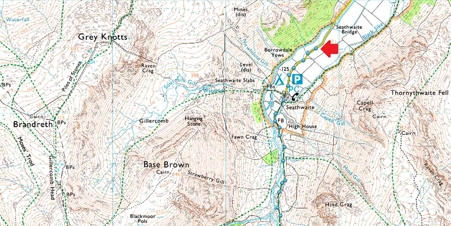
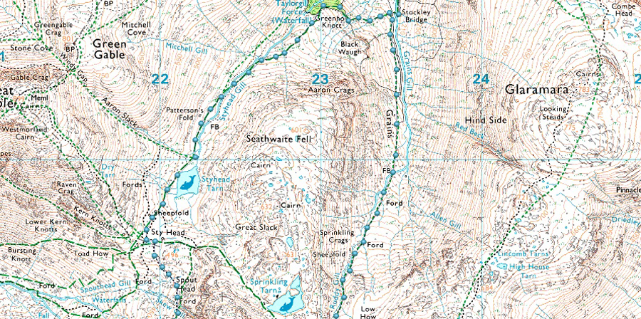
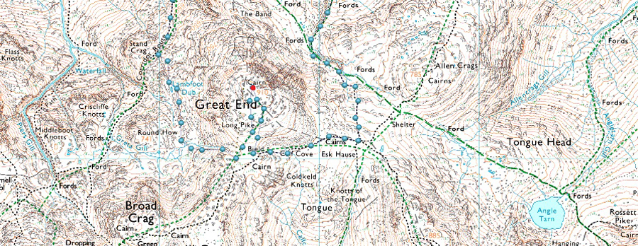
Seathwaite - Stockley Bridge - Grains Gill - Ruddy Gill - Esk Hause - Calf Cove - Great End - Lambfoot Dub - Corridor Route - Stye Head - Styhead Tarn - Styhead Gill - Stockley Bridge - Seathwaite |
|
| |
|
Parking Details and Map |
|
|
| Nearest Post Code: |
CA12 5XJ |
| Grid Reference: |
NY 235 712 |
| Notes: |
The roadside at Seathwaite is a really popular place to park if you plan to visit the central fells including Scafell Pike and Great Gable. Unfortunately, at busy times, this can cause access problems for people who live locally, including farmers and potentially emergency vehicles.
If you turn up and find that you can’t easily park at Seathwaite without being confident a fire engine or tractor and trailer could easily pass, please consider one of these three alternatives.
The National Trust, Cumbria Highways and the Lake District National Park authority are working together to find a long term solution for those of you who like to park at Seathwaite, but it will take time. |
|
| |
|
Map and Photo Gallery |
|
|
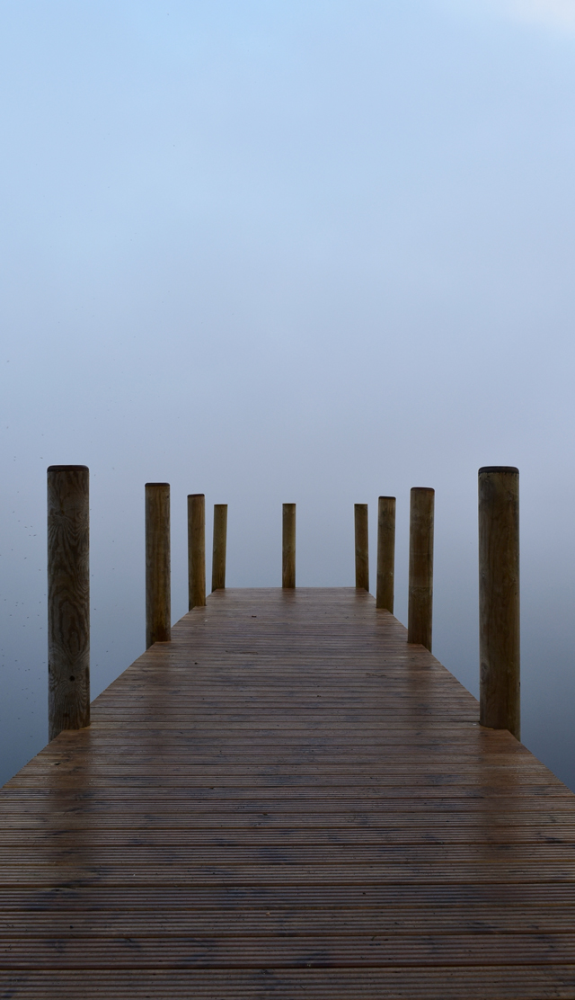 |
| Ashness Jetty, Derwent Water. |
| I wasn't sure if it was worth stopping at Ashness Jetty while on my way through to Seathwaite but as Rod said "Paul always stops" and he wasn't wrong even though there was nothing to see but the fog in front of my face it was still nice to experience the stillness of the place, I guess that's how you turn a negative into a positive. |
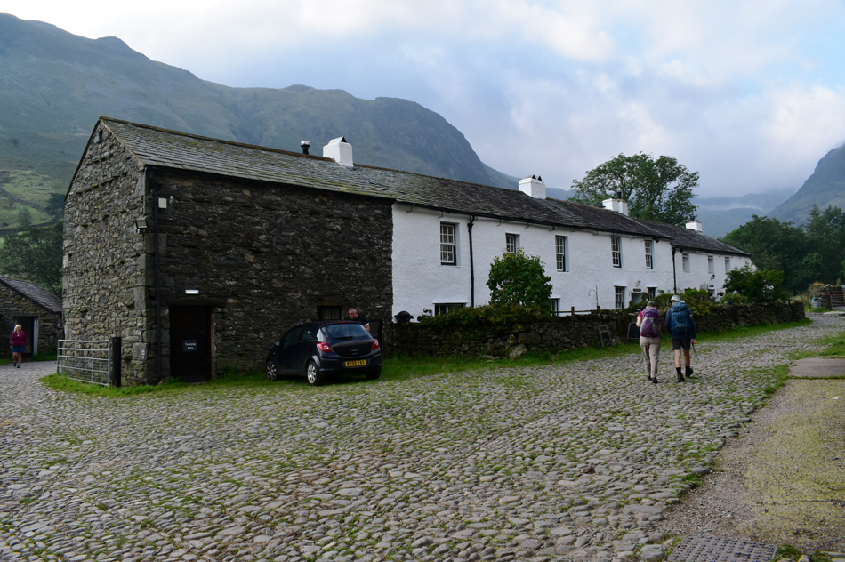 |
| Seathwaite Farm 08:15am 12°C |
| Instead of trying to struggle parking close to Seathwaite Farm and, owing that today is the last Bank Holiday of the year we had arranged to meet a couple of hundred yards further down from Seathwaite Bridge where myself and Rod arrived at the same time soon followed by Tim and his son James. Having already driven along the A66 where the skies above Blencathra and Skiddaw were starting to break we hoped that the same would occur over the Seathwaite valley although I must admit, the chances of it happening appeared slim right now with thick stagnant cloud lingering above Seathwaite Fell which extended as far as the top of Ruddy Gill found at the head of the valley, still, hopes remained and we kept positive while catching up on latest walks. |
 |
| Cloud lingering over Seathwaite Fell. |
| There was no need to 'panic park' back up the valley finding there was still a few spaces close to the Farm which were quickly being taken up in the minutes it took to enter the Farm yard. Despite the odd parking spaces here and there as we passed the Campsite it was noted how busy it was with folk going about their own business brushing their teeth or simply getting ready for a day on the fells. We left the hustle of Seathwaite behind and once we had a decent view of Seathwaite fell conversation soon turned to the low cloud which was lingering around its summit, more worryingly was the mass of cloud behind it and how far it was spreading towards the head of the valley, still, it was early and we remained optimistic that the forecasted sunshine would burn the lingering cloud away. |
 |
| Black Waugh and Seathwaite Fell above Stockley Bridge. |
| With only two couples ahead who both ascended the Styhead Gill path after crossing Stockley Bridge we took a left and followed the stone wall alongside Grains Gill and thereafter, Ruddy Gill. |
 |
| Heading towards the head of the Seathwaite Valley alongside Grains Gill. |
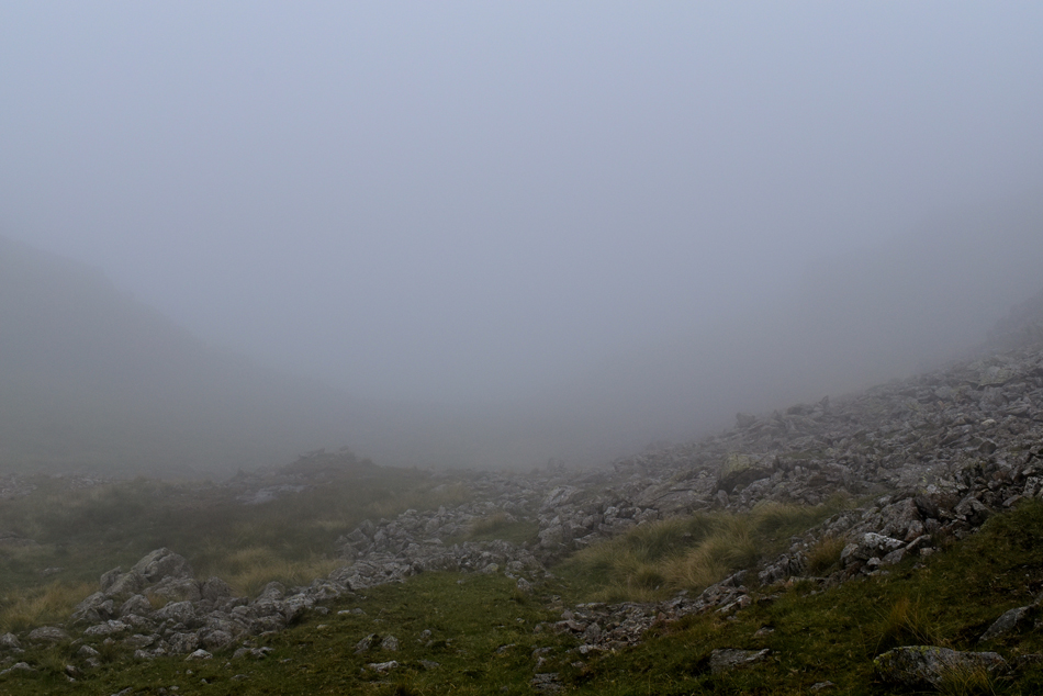
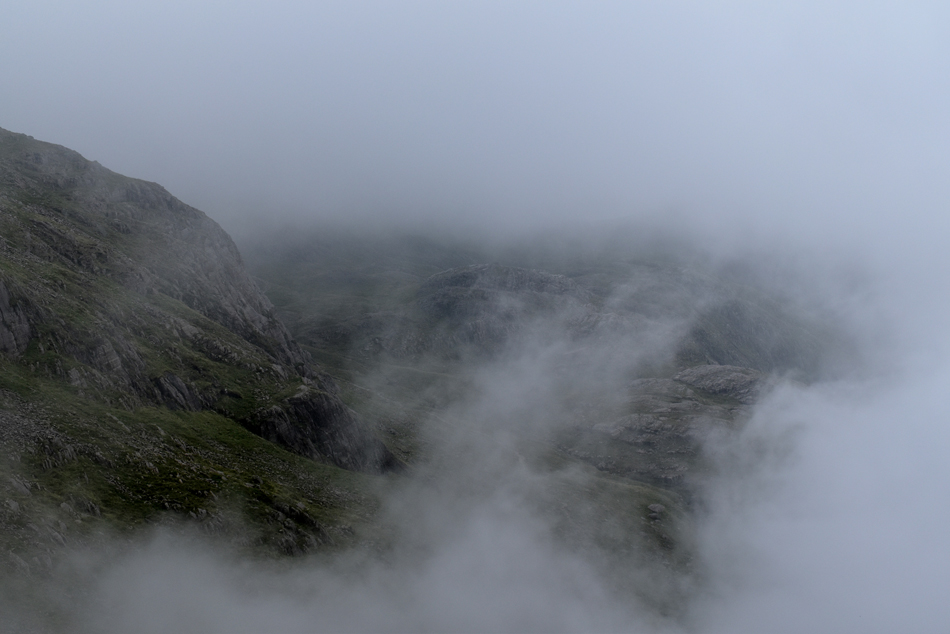
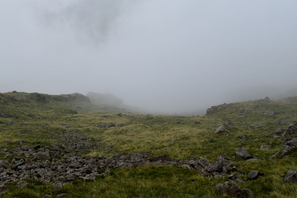
| Here we get a wider view of the cloud which is lingering between 1,600ft & 1'800ft. |
 |
| Ruddy Gill. |
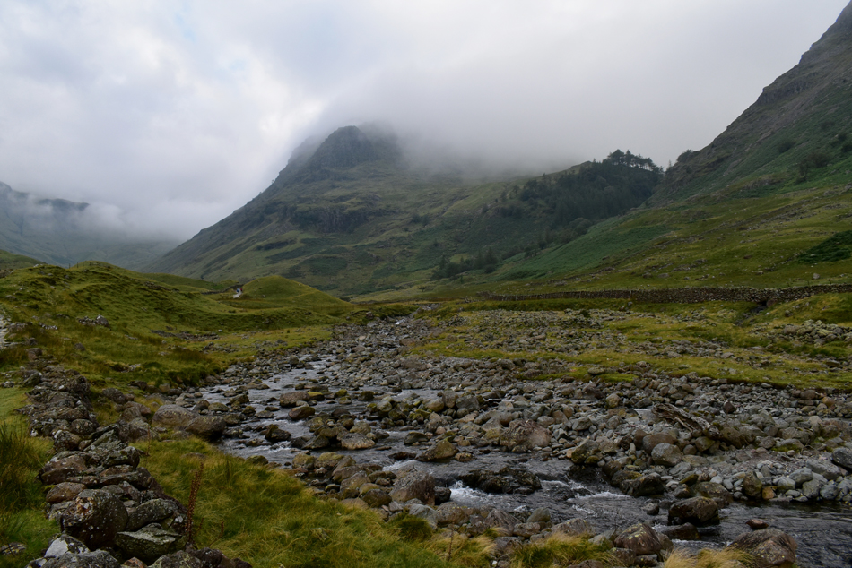
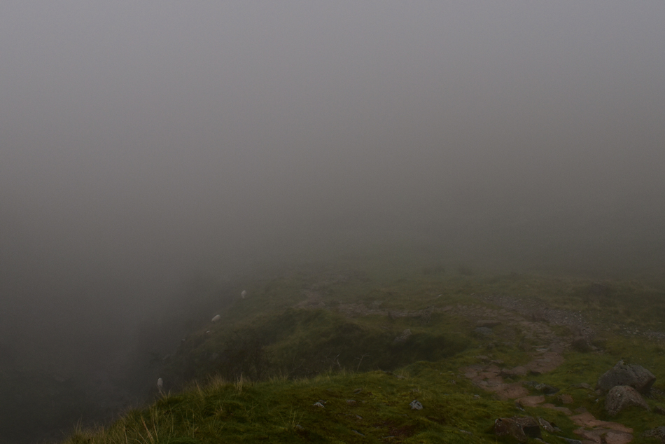
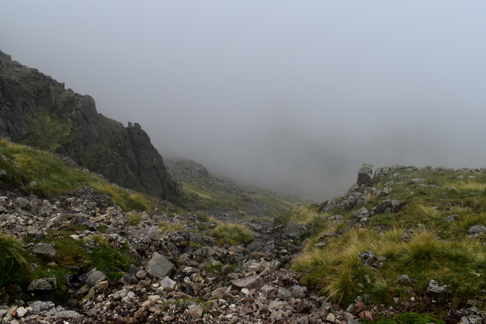
If it wasn't the low light restricting visibility the density of the cloud put a stop to any long distant view let alone any photography. It was an incredibly mild ascent coupled with mist which clung to hair and clothing and by the time we had reached the top of Ruddy Gill we were all damp, steaming or both. The thought of calling off The Cockley Beck ridge was constant on my mind but I didn't speak about it until the steep ravines off Ruddy Gill were reached and even then I was testing the water to see how the others would react.
We stopped for a breather where dead ahead the East face of Great End would have domineered our view except all we could see was the hands in front of our faces, it would have done young James good to see what he was about to climb, our plan B, yet to be confirmed. |
 |
| Esk Hause. |
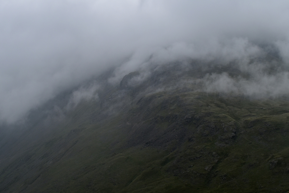
The outline of Great End's south facing shoulder appeared through the cloud but it didn't last and as soon it appeared it was succumbed by the cloud. We forked right and left the path for upper Esk Hause not sighting Allen Crags to the East but of course we knew it was there. We seemed to slow down during the ascent onto Esk Hause possibly because we knew we'd have to call The Cockley Pike ridge off, in-fact we all knew it earlier, we just kept it inside until we had to.
With the cloud swirling around us myself and Rod came up with two Plan B walks, Rod went first with a traverse of the Glaramara ridge from Allen Crags to Thornythwaite Fell followed by my Great End and Lambfoot Dub alternative, we settled on Great End and Lambfoot Dub thereby shelving the Cockley Pike ridge for another day where the experience wouldn't be lost to cloud and nor would our safety. |
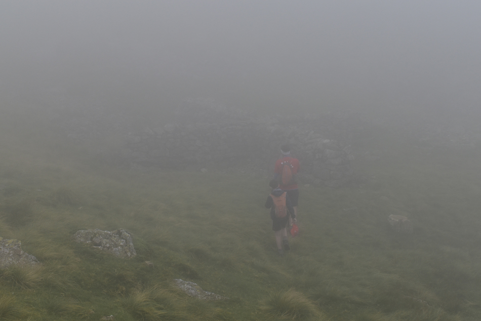 |
| Tim and James explore the Victorian cross shelter in Calf Cove. |
| Where we showed James the location of the boulder which still has the iron ring attached which was used to secure the ponies who carried Victorian visitors onto Scafell Pike back in the day. |
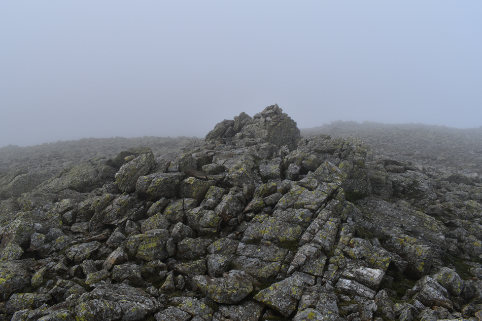 |
| Great End summit. |
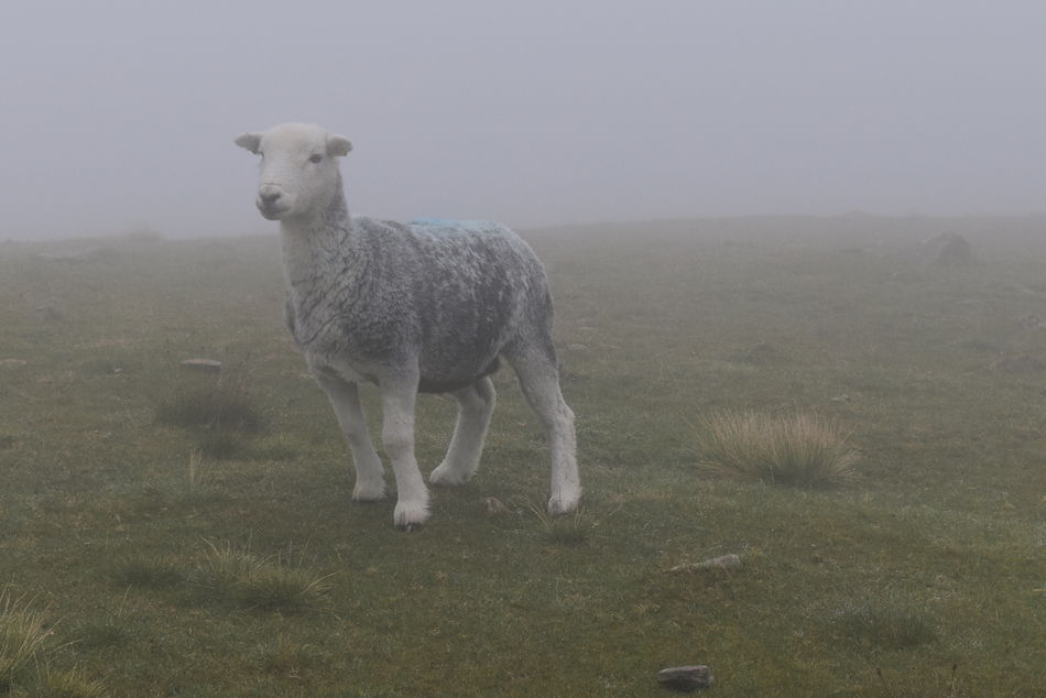
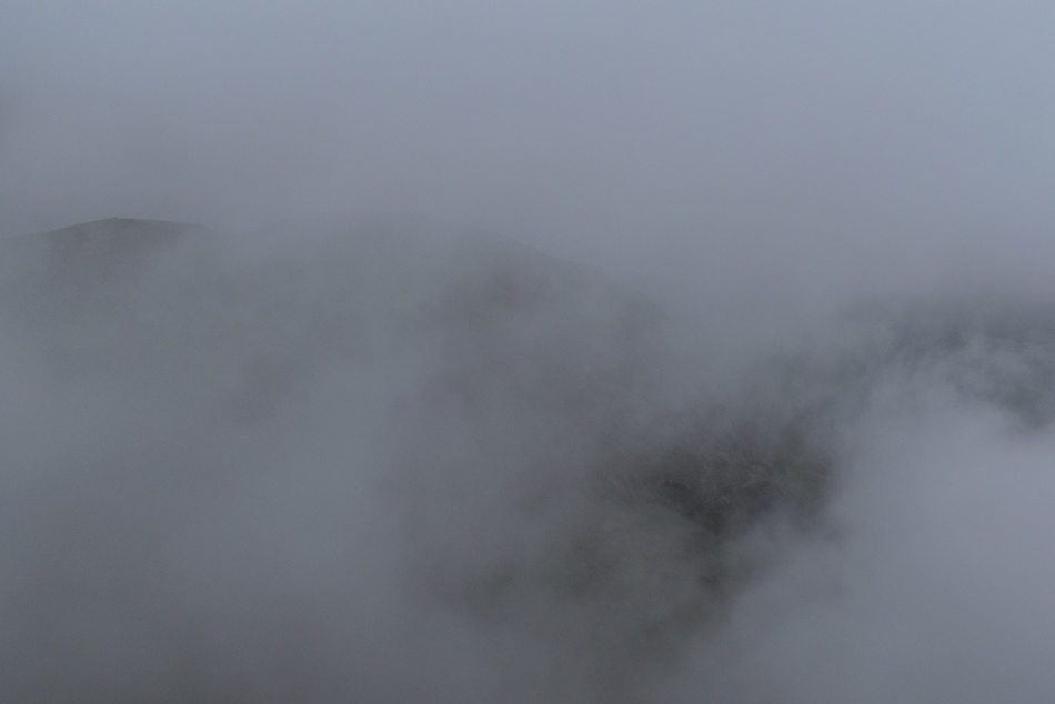
In almost silence we ascended Calf Cove then cut across the Col and shouldered Great End. There was no sign of the summit cairn with thick cloud still denying our view where every now and again the odd sheep might emerge then quickly disappear. We broke away from the path and steered right over the rock strewn plateau and soon the summit cairn appeared through the cloud.
"there it is" |
 |
| Descending into the amphitheater from the top of Calf Cove. |
| Having left the summit we re-traced our steps and lost Tim and James who was checking the height of the summit for James's knowledge, both Rod and I looked back and could only see the outlines of their figures and decided to wait until they caught up. Tim had merely wanted to encourage James by explaining his achievement something which was undertaken in todays challenging conditions. |
 |
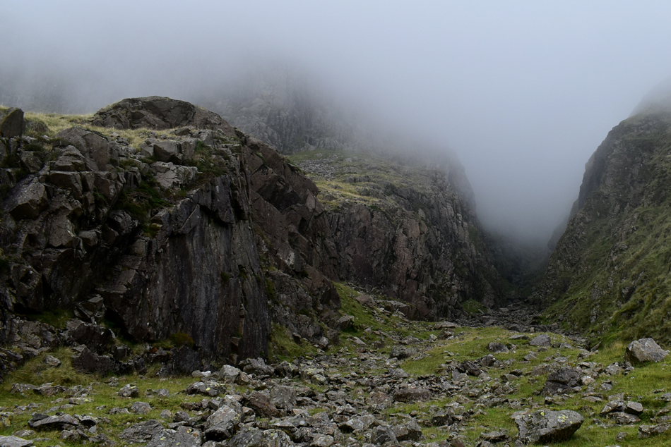
| Descending into the void. |
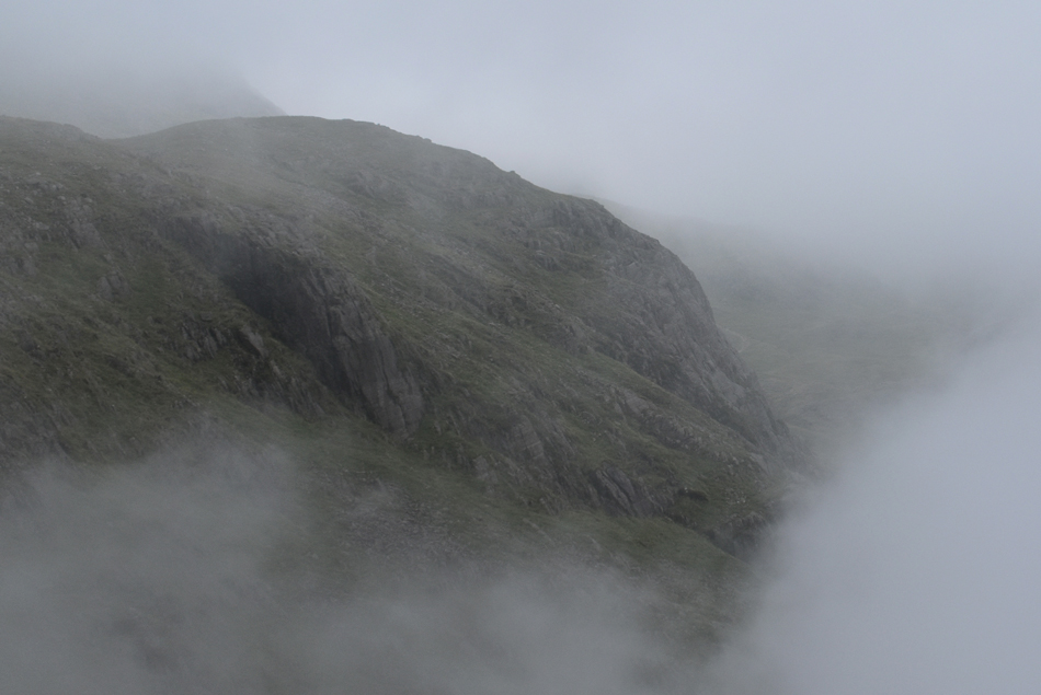
| This can be a tricky descent/ascent even in good conditions with the ground being very steep and unstable in places where care and caution must be exercised. |
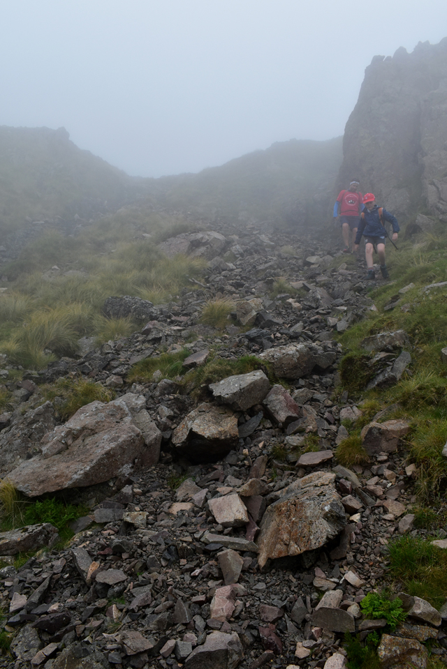 |
| Tim and James show how it's done. |
| |
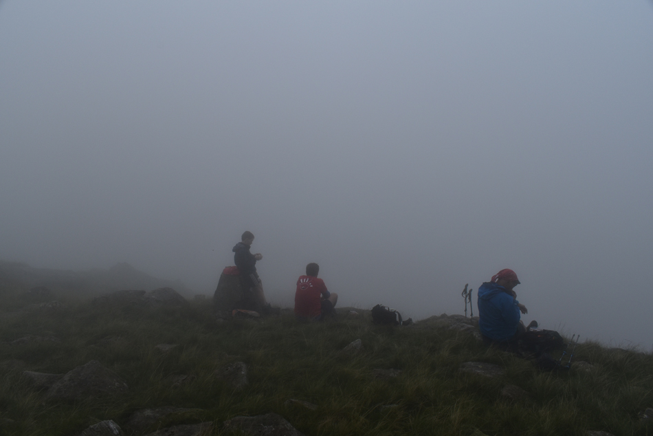 |
| Waiting for the cloud to clear. |
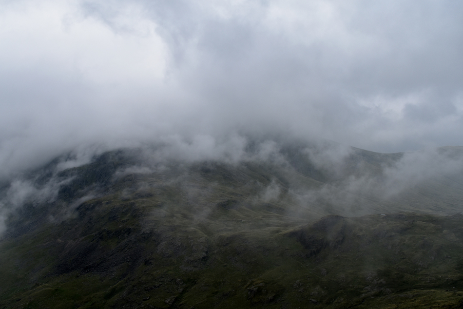
| Having descended into the amphitheater we steered right maintaining a constant altitude which proved tricky in almost zero visibility. I check our location and find we are not far from Lambfoot Dub and advise we should wait a while to see if the cloud would break; hopefully revealing Round How and Lingmell and while we were at it, have an early lunch. |
 |
| The best comes to those who wait. |
| Through a gap in the cloud Round How and Criscliff Knotts are revealed. |
 |
| The Corridor Route |
| Can be seen through a small gap lower right. |
 |
| Round How again. |
| With the Corridor Route seen centre right beyond Round How. |
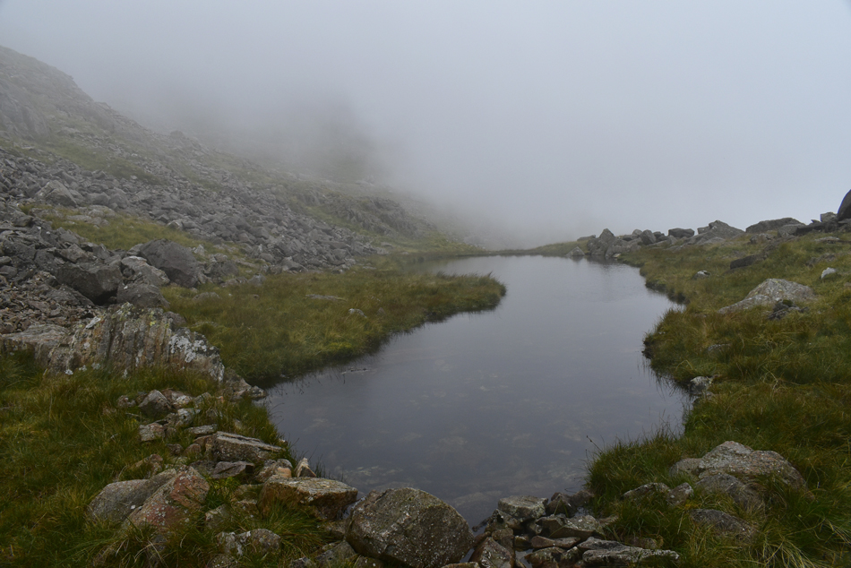 |
| Lambfoot Dub. |
| The cloud came and went during our lunch break and once over we found we were once again in the thick of it, I double checked our location and confidently pointed due north "it's that way" We left in thick cloud and continued negotiating boulder when through the faintest of clearings I spotted something that resembled either a flat rock or a body of water "I think where here" "yes that's it" Rod replied and with that James left the group and scurried over to one of Lakelands lesser visited Tarns, Lambfoot Dub. |
 |
| Descending towards The Corridor Route. |
We had spent the best part of twenty minutes watching the cloud come and go over The Corridor Route and if lucky, Lingmell beyond. Although no one spoke of it a chill had began to settle on already damp clothing, hair and skin and we set about our descent onto The Corridor Route taking a grass rake Northwards until the outlines of fellow walkers were revealed travelling to and from Scafell Pike along The Corridor Route.
"Back to reality lads" |
 |
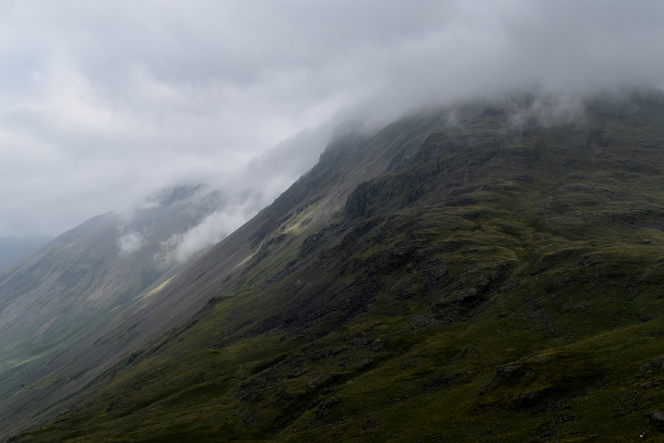
| Cloud begins to break over Great Gable's breast. |
| Revealing Raven Crag and Kern Knotts. |
 |
| Outstanding. |
| |
 |
| A close up reveals Napes Needle. |
| |
 |
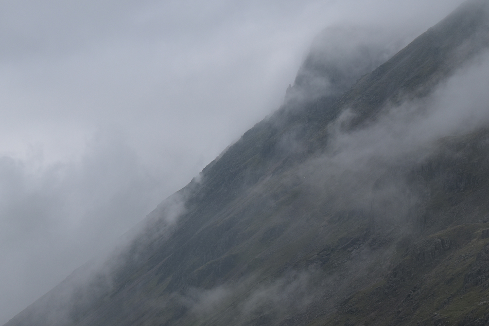
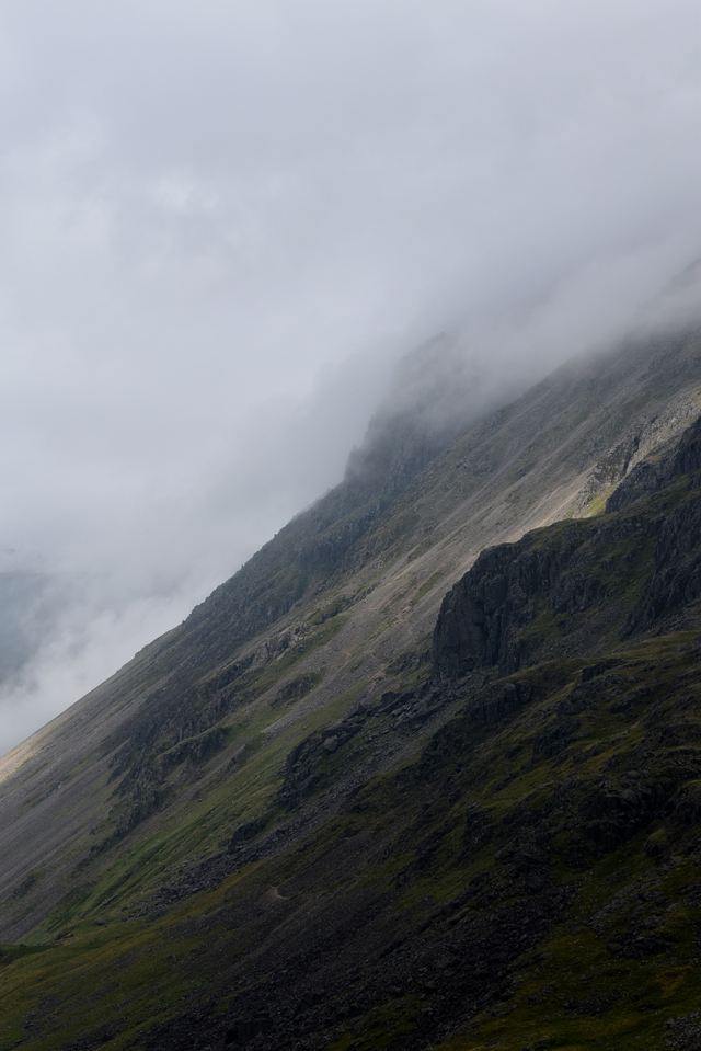
| An eerie view into Skew Gill. |
| From The Corridor Route below. |
 |
| Hints of sunlight breach the scree over Bursting Knotts. |
| |
 |
| Great Gable. |
| |
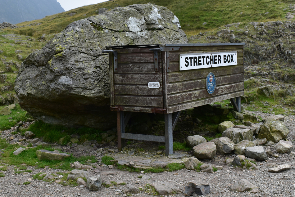 |
| The Stretcher Box, Sty Head. |
After passing dozens of walkers heading for Scafell Pike along The Corridor Route we arrived at Sty Head feeling a tad warm and it was decided that we should de-layer whilst over looking Styhead Tarn. With the cloud confined to the higher slopes we kit down and make adjustments for the walk back to Seathwaite. It was agreed that instead of taking the short cut onto the path alongside Styhead Gill that we should visit Sty Head 'properly' by means of visiting the Stretcher Box which we did while observing ant like walkers making descents via the Breast Route. The air by now was feelling mild and with the best part of the walk behind us we discussed the highs and lows all agreeing that witnessing the gaping cloud revealing Great Gable had been the best highlight of the day, our lows...well, we never got to those.
We walked along the banks of Styhead Gill then began the steep descent into the Seathwaite valley catching familiar faces who had left Seathwaite this morning and smiles were exchanged. Meanwhile back at Seathwaite lines of cars extended as far as Seathwaite Bridge although by now the campsite was looking a lot more deserted. It felt much later than 2pm as cloud still lingered over Great End while blue skies opened out as far East as Blueberry Fell and the Helvellyn range beyond which I guess was the hand we had been dealt today, a hand that we simply had to embrace. |
|
| |
| Back to top |
 |
|