|
Walking the Birketts, Great Calva |
 |
 |
12th October 2019 |
 |
|
Initially the forecast wasn't great this weekend and after arranging to walk with Father Shaun Church, Rod and Michael I needed to come up with a walk where we didn't have to concentrate too much on the route whilst possibly being rained on from above, Birketts Great Calva walk suited all of our needs perfectly.
Both myself and Shaun have been trying to arrange a walk for sometime yet availability always seemed to get in the way, a couple of months ago Shaun emailed informing me he had a week booked in the Lakes this week so this time I made sure I was available, also joining us today are Rod and his mate Michael.
I'm quite fond of routes like todays which predominently targets just the one summit whilst eating the miles away along the Cumbrian Way, it wasn't just the forecast which lured me onto this particular route but a section of the Cumbrian Way from Peter House Farm to Skiddaw House, it's a route I haven't walked on for some years and this week I felt compelled to return, all the while catching up with great friends and to top it all off, it even managed to stay dry. |
|
| The Complete Lakeland Fells |
 |
| By Bill Birkett |
-Great Calva
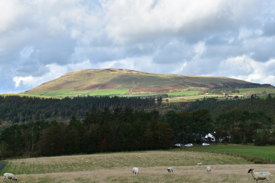
Great Calva can be seen from afar. This is because it stands at the northern end of a great fault corridor. |
|
|
|
| |
|
Overview |
|
|
| Ascent: |
1,705 Feet - 520 Metres |
| Birketts: |
3, Great Calva - Little Calva - White Hause |
| Weather: |
A Bright Start Turnimg Overcast Midday - Feeling Brisk Over The Summits. Highs of 15°C Lows of 9°C |
| Parking: |
Parking Spaces, Peter House Farm |
| Area - Group: |
Northern - N/NOS |
| Miles: |
7.5 |
| Walking With: |
Father Shaun, Rod & Michael |
| Ordnance Survey: |
OL4 |
| Time Taken: |
3 Hours 40 Minutes |
| Route: |
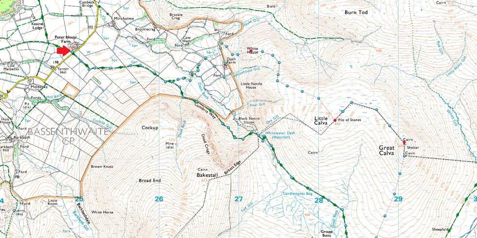
Peter House Farm - Cumbrian Way - Dash Falls - Cumbrian Way - Candleseaves Bog - Dead Beck - South Flank of Great Galva - Great Calva - Little Calva - White Hause - Dash Farm - Dash Beck - Cumbrian Way - Peter House Farm |
|
| |
|
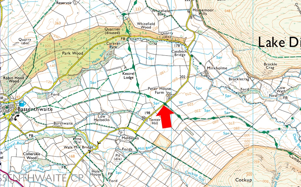
Parking Details and Map |
|
|
| Nearest Post Code: |
CA12 4QX |
| Grid Reference: |
NY 249 032 |
| Notes: |
There is room for up to seven cars just opposite Peter House Farm with the Cumbrian Way passing right by leaving excellent access to the Uldale and Back O'Skiddaw fells. The parking spaces can be found on the right hand side (if approaching from Bassenthwaite) with two metal gates which open out on to the Cumbrian Way. Parking is free. |
|
| |
|
Map and Photo Gallery |
|
|
  |
| |
| |
 |
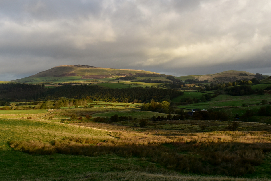
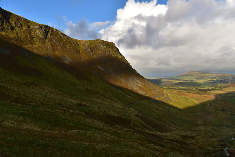
| Morning sunlight streaks through Dash Valley 08:25am 12°C |
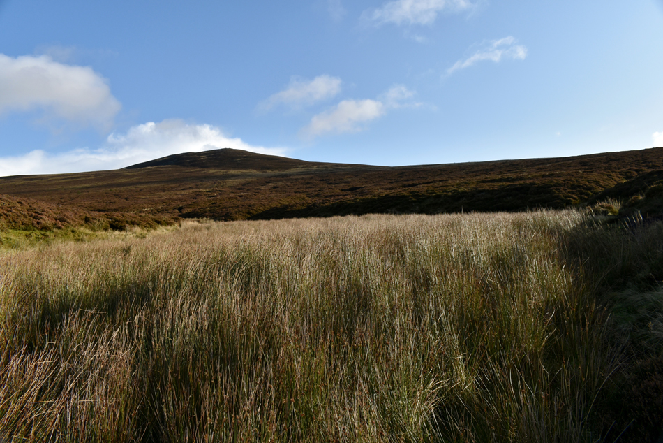
We had arranged to meet at the slightly later time of 08:30am if only to allow any overnight rain to fade away which worked out well, although it was clear there was a lot of standing water about both on the roads and footpaths. I arrived first and parked easily soon followed by Shaun and we caught up between the cars as the brisk morning air nipped at exposed skin. We were soon joined by Rod and Michael who mirrorred our own concerns explaining about the torrential downpours they'd driven through to get here, well, all of that rain is hopefully behind us but we kit up knowing it's going to get pretty wet underfoot especially once the Cumbrian Way is left behind.
With the cars locked we opened the gate onto the Cumbrian Way to be greeted with strong sunlight streaking through the Dash valley, the further we walk the more we are exposed to the strong light which causes my eyes to water! Soon the gap between Bakestall and Little Calva widens allowing the sunlight to drench the valley, what a fantastic start to the walk. |
 |
| The view back towards Binsey and Latrigg (Uldale) |
| It's still looking a tad cloudy further north. |
 |
| Not where we're going though. |
| That's Little Calva seen left with Dead Crags on Bakestall over on the right. |
 |
| Continuing along the Cumbrian Way. |
| Towards the low point where we cross Dash Beck. |
 |
| Looking towards a distant Little Sca Fell and Great Sca Fell as we approach Dash Falls. |
| With Great Cock Up and Burn Todd seen left and White Hause seen right in the shade, we'll be up on White Hause soon it being todays final summit. |
 |
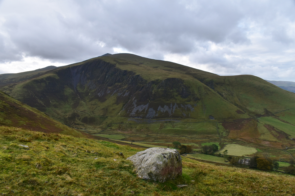
| Dead Crags on Bakestall with Binsey seen in the distance. |
| We continued along the Cumbrian Way hearing Dash Falls well before we could see it, the path curves below Dead Crags and the temperature dips slightly due to a low sun leaving a good portion of the valley in shade. |
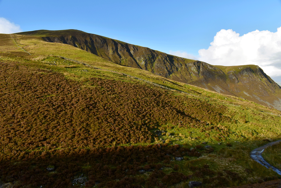 |
| Bakestall and Dead Crags seen over Birkett Edge. |
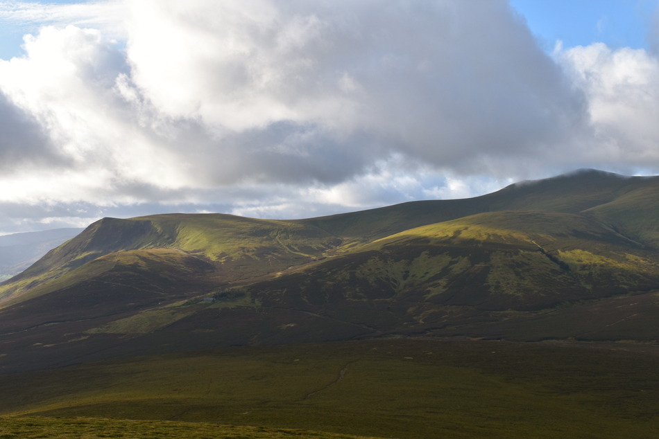
| The track climbed steadily below Dead Crags by which point we were still in shade, urged on by the deafening roar from the waterfall we reached Dash Falls and stopped to observe in silence, there's now't like a good waterfall to shut four blokes up. We stepped back onto the path and crossed Dash Beck via the footbridge and started to climb via a series of short zigzags, the path doesn't climb much before views start to open out over the mighty Skiddaw Forest ahead, while behind us we take in the view over Birkett Edge towards Bakestall all agreeing that the Birkett Edge looked nowhere near as steep from here as it actually is. |
 |
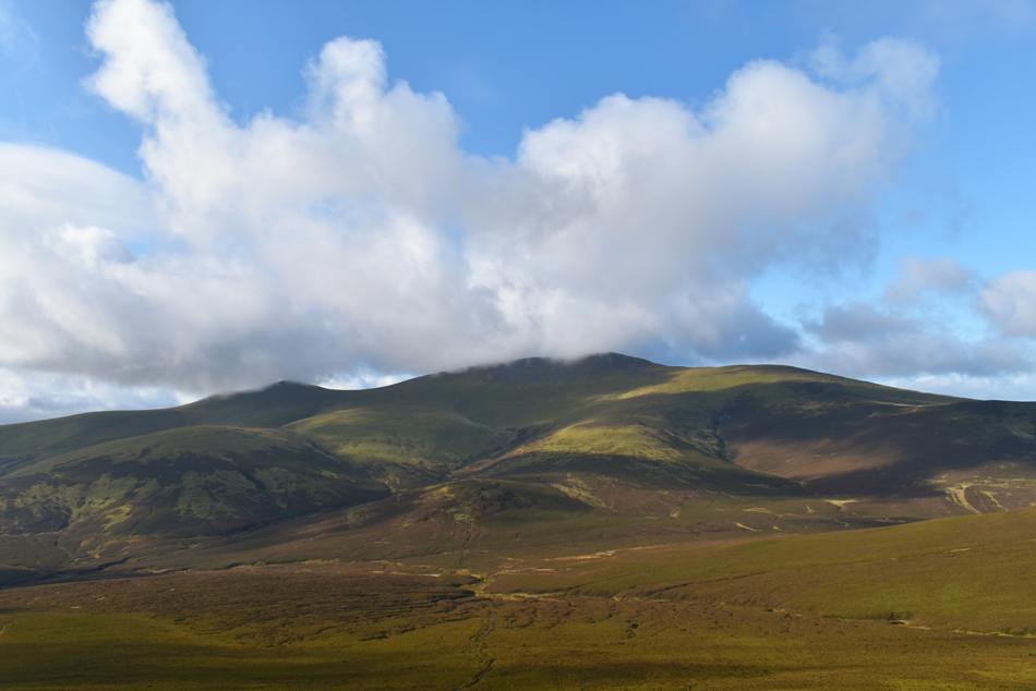
| That's Skiddaw, Skiddaw Little Man and Hare Crag from an area known as Candleseaves Bog. |
| The cloud looks like it's about to break over Skiddaw summit leaving blue skies in its wake but what we couldn't see from down here was more cloud approaching from the west. |
 |
| Skiddaw, Broad End, Hare Crag, Bakestall and Birkett Edge from Candleseaves Bog. |
| We seem to be in a pocket of blue skies and sunshine at the moment while all around the cloud is starting to build. |
 |
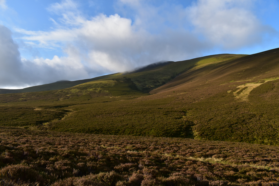
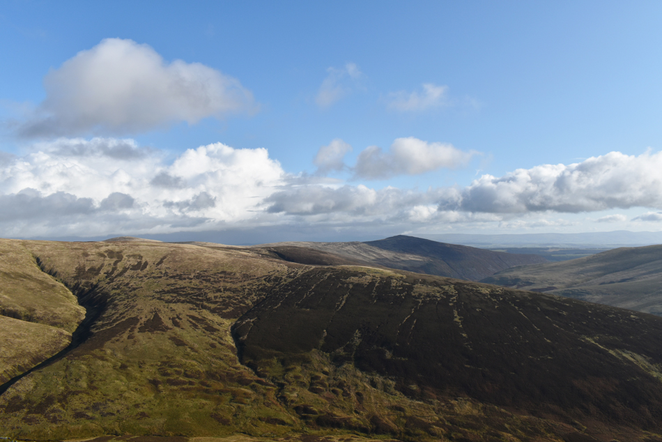
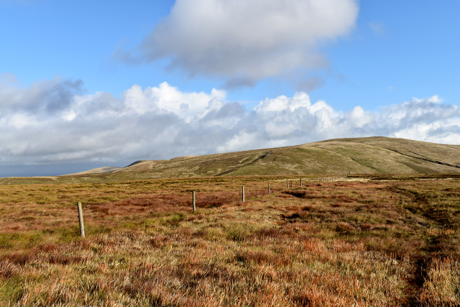
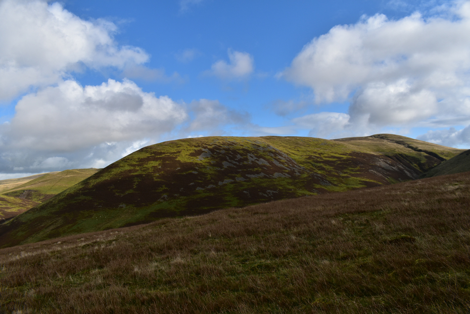
| Great Calva from the start of our ascent. |
We left the Cumbrian Way after locating the path which will lead us onto Great Calva summit, the area around here is notoriously boggy and after weeks worth of rain the path had turned into a quagmire.
Hey ho lets go. |
 |
| From the path we take in the glorious view towards Sale How, Skiddaw, Lesser Man and Little Man, Jenkin Hill, Longscale Fell East Ridge and Lonscale Fell. |
| Squint, and you might be able to make out Skiddaw House below Sale How. |
 |
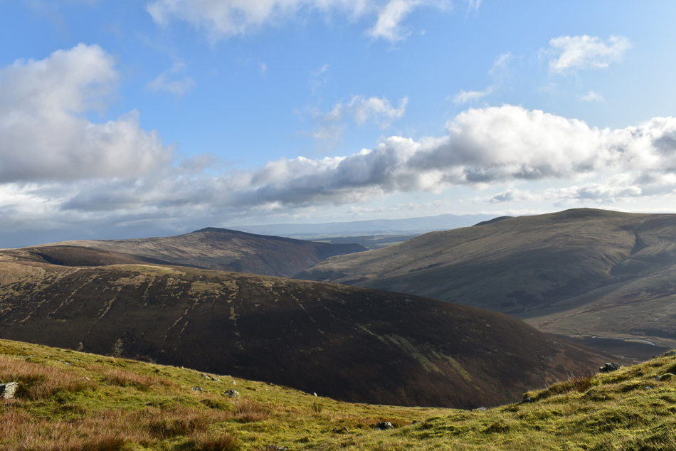
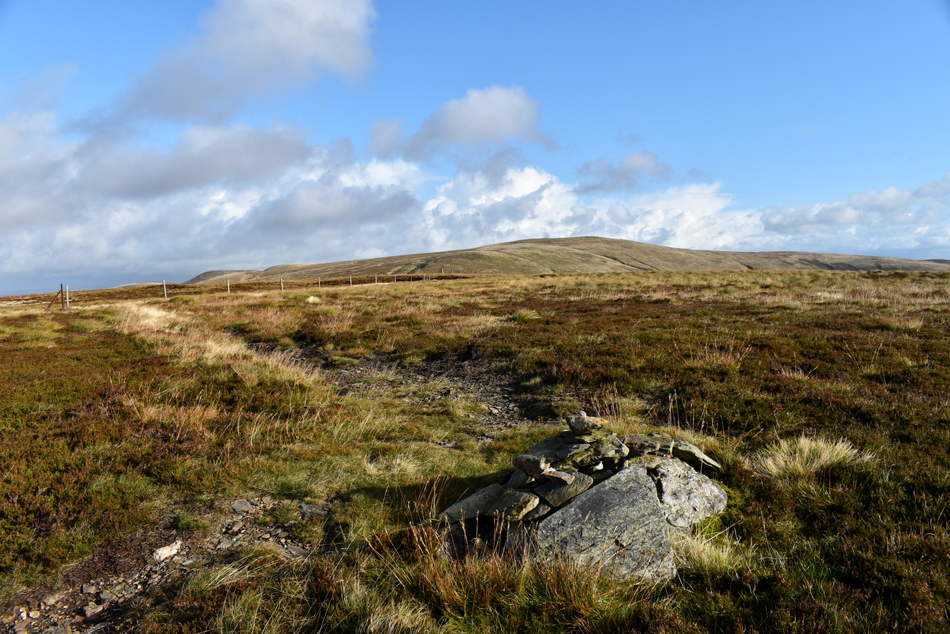
| Commanding views through the natural fault corridor. |
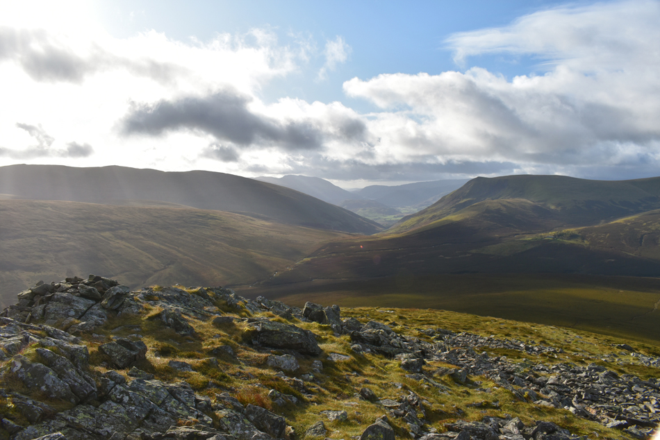
| Rod and Michael broke away while Shaun and I chatted catching them up at the subsidiary summit where we stopped to take in the fabulous views south. From here on a clear day Thirlmere can be seen but sadly it's turning a tad hazy as the cloud starts to build. |
 |
| Sale How, Skiddaw Lesser, Little Man, Skiddaw, Broad End and Hare Crag from Great Calva. |
| Time to head towards the main summit. |
 |
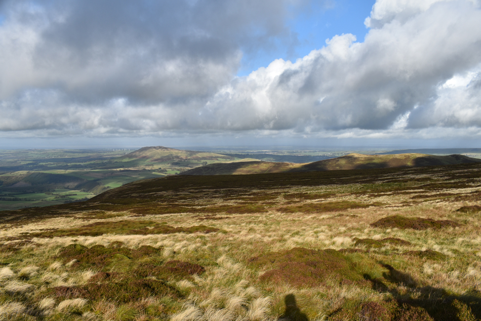
| Meanwhile the view East is much clearer. |
| Here looking beyond Pike towards Coomb Height, Carrock Fell and Bowscale Fell. |
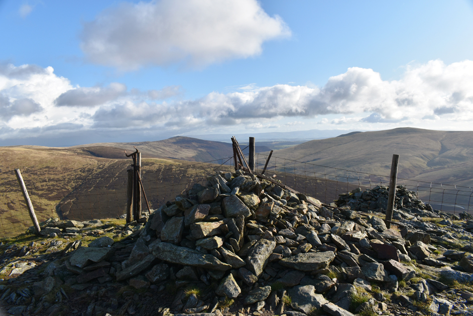 |
| Great Calva summit. |
| The wind was starting to build with height gained and it was time to add more layers in the form of hats and gloves. On the other side of the fence line we notice a chap sitting in the stone shelter who passes on his 'mornings' before descending the summit towards the grass col presumably bound for Knott. |
 |
| In this image High Pike (Caldbeck) comes into view over on the left. |
| With Red Gill and Little Wiley Gill seen left. |
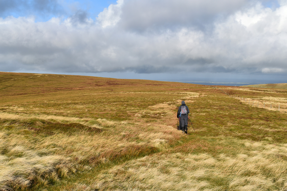 |
| Tramping through wet bog towards Little Calva. |
| We left the summit and followed the fence line as instructed by Birkett, there is a short cut which veers left but seeing as we're doing things by the book we may as well do as we're told. You might be able to see the fence veer left up ahead, by our reckoning there isn't much difference in taking the short cut or by following the fence line, both routes will submerge your boots in bog water! |
 |
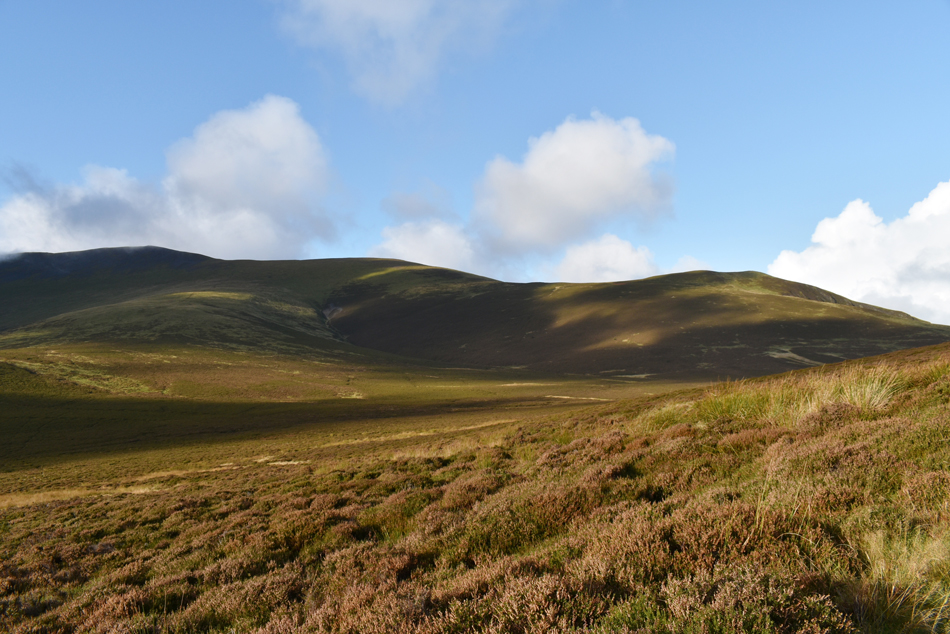
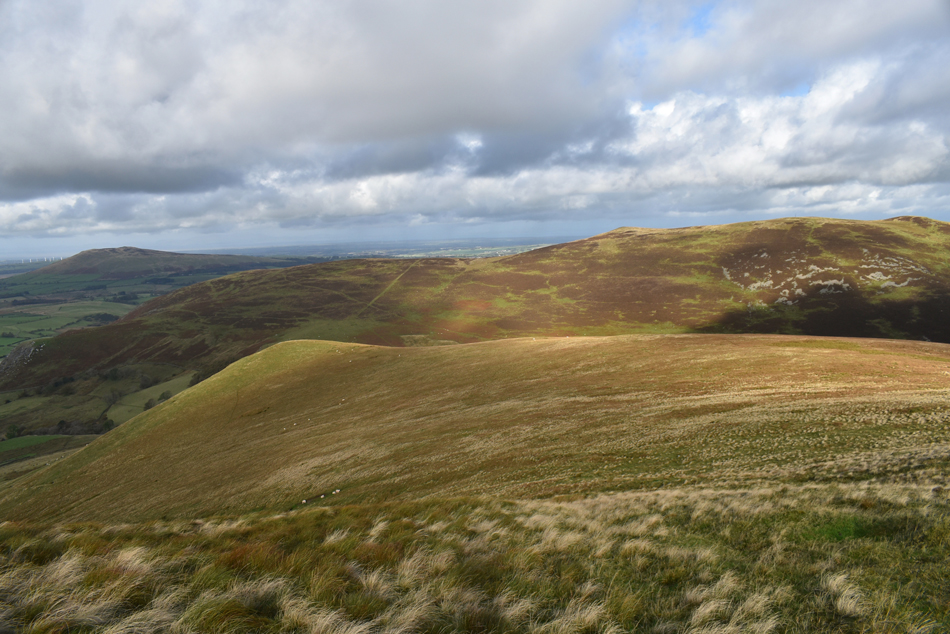
| Brae Fell, Little Sca Fell, Great Sca Fell and Knott seen as we approach Little Calva. |
| |
 |
| The same view from Little Calva summit. |
| Note the proximity of the fence to the summit cairn. |
 |
| Binsey, Orthwaite Bank and Great Cock Up from Little Calva's North West shoulder. |
| We left the summit of Little Calva and crossed the fence taking care not to damage it. We were now presented with the grassy shoulder linking Little Calva with White Hause, there is no real path to follow it's just a case of descending the shoulder until White Hause comes into view from the right. |
 |
| Binsey, White Hause with Orthwaite Bank and Great Cock Up behind. |
| We trace right and pick up singular grassy trod leading all the way towards White Hause summit. |
 |
| Burn Todd and Knott seen as we approach White Hause. |
That's Meal Fell over on the left seen beyond Trusmador. |
 |
| Skiddaw Little Man, Skiddaw, Birkett Edge, Bakestall, Dead Crags and Cockup from White Hause. |
White Hause was soon reached by which time we seemed to have lost the light as the cloud continued to build. You might be able to spot Dash Farm hidden in the trees below, Birkett recommends to descend directly towards the farm then pass through it before linking back up with the Cumbrian Way but since the book was published the Farmer has put up signs noting 'No access to Walkers' meaning we had to find an alterative way around.
To get around the farm we descended White Hause towards the corner of the field (marked Sprs on the map) keeping Dash Farm on our left shoulders. On reaching the corner of the field we passed through the gate, through the field and headed towards the farm access track, cross Dash Beck once more via the wooden bridge and then linked back up with the Cumbrian Way. |
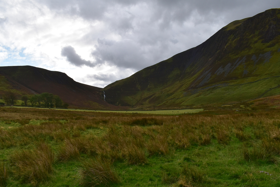 |
| Dash Falls from Dash Valley. |
| |
 |
| Looking back on White Hause (left) and Little Nettle Hause (right) prior to crossing Dash Beck via the wooden footbridge. |
| |
 |
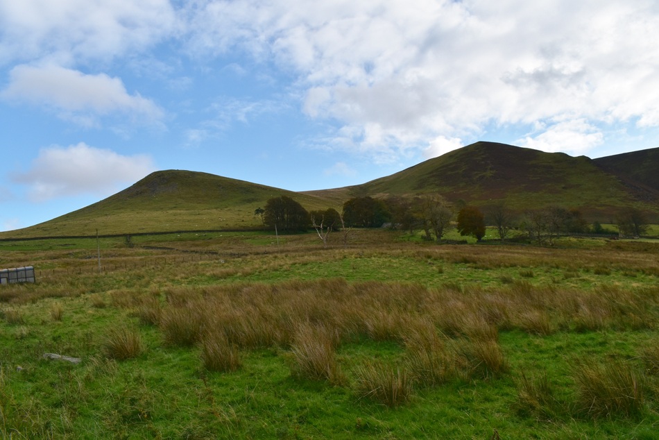
| Binsey from the Cumbrian Way. |
| Having linked back up with the Cumbrian Way we took in the last mile of the walk under brooding skies which started brighten slightly as we approached Peter House Farm. The car park was looking much busier by the time we got back where Rod and Michael decided to break out lunch. Meanwhile Shaun and I kit down and wrap up conversation hoping that it won't be another two years until we walk again. With our kit packed away we say our goodbyes to Rod and Michael not before confirming that we're OK for next Saturday where hopefully we can get out and recreate another walk as good as todays. |
|
| |
| Back to top |
 |
|