|
Walking the Birketts, Burnmoor and Eskdale Fell |
 |
 |
15th November 2019 |
 |
|
I'd taken a day off to catch up on some much needed rest but the fells called on a day I just couldn't ignore the forecast, not at this time of year anyway. With no plan on where to walk I picked up my Birkett's Lakeland fells book and the page fell open on this walk 'Burnmoor and Eskdale Fell' which was followed by flushes of excitement the more I read into the route which explores the tops around Burnmoor tarn starting with Boat How, Great How and Whinscales, the latter summit I have never visited before.
The humps and bumps around Burnmoor Tarn deserves much more exploration than I have given them in recent years and this walk does just that while absorbing some of England's highest ground, this isn't a good walk, this is a great walk and one that I plan to revisit time and time over so much so if you were to ask me which was my favourite walk so far, this walk comes very close. It all started in a sleepy Eskdale around 9:30am |
|
| The Complete Lakeland Fells |
 |
| By Bill Birkett |
| Starting from the granite hamlet of Boot this walk explores a wonderfully wild countryside. |
|
|
|
| |
|
Overview |
|
|
| Ascent: |
1,800 Feet - 550 Metres |
| Birketts: |
3, Boat How - Great How on Eskdale Fell - Whinscales on Eskdale Fell |
| Weather: |
Another Bright But Cold Day On The Fells. Highs of 9°C Lows of 7°C Freezeing Above The Summits |
| Parking: |
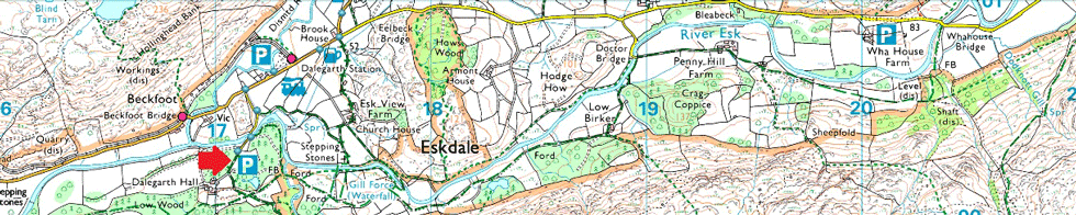
Car Park, Dalegarth Hall, Eskdale |
| Area - Group: |
Southern - W/ESK |
| Miles: |
7 |
| Walking With: |
On My Own |
| Ordnance Survey: |
OL6 |
| Time Taken: |
4 Hours 30 Minutes |
| Route: |
Dalegarth Hall - Eskdale - Boot - Brats Moss - Boat How - Burnmoor Tarn - Bulatt Bridge - Oliver Gill - Bleaberry How - Great How - Whinscales - Stony Tarn - Eel Tarn - Gill Bank - Boot - Dalegarth Hall |
|
| |
|
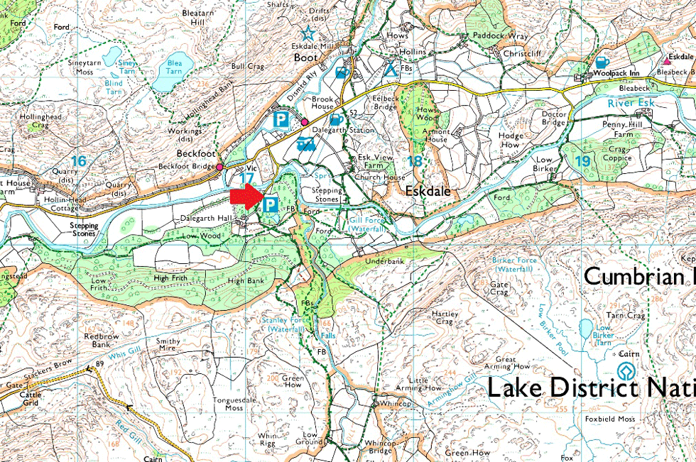
Parking Details and Map Car Park, Dalegarth Hall, Eskdale |
|
|
| Nearest Post Code: |
CA19 1TG |
| Grid Reference: |
NY 171 003 |
| Notes: |
If heading into Eskdale turn right sign posted Dalegarth Hall but be advised the lane heading towards the car park is narrow especially when crossing Dalegarth Bridge where there is little room to give way. The car park holds up to a dozen well parked cars and is free of charge. |
|
| |
|
Map and Photo Gallery |
|
|
 |
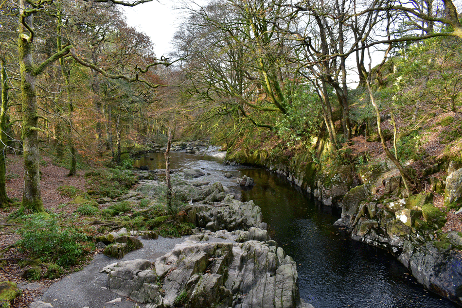
| Crossing the River Esk at Dalegarth Bridge. |
| Taken moments after leaving my car I pass a sign posted 'Gill Force 600 yards' sitting here writing this I'm now regretting not visiting the falls as I could have worked them into my walk while on my way to Boot. Note taken for next time I'm here. |
 |
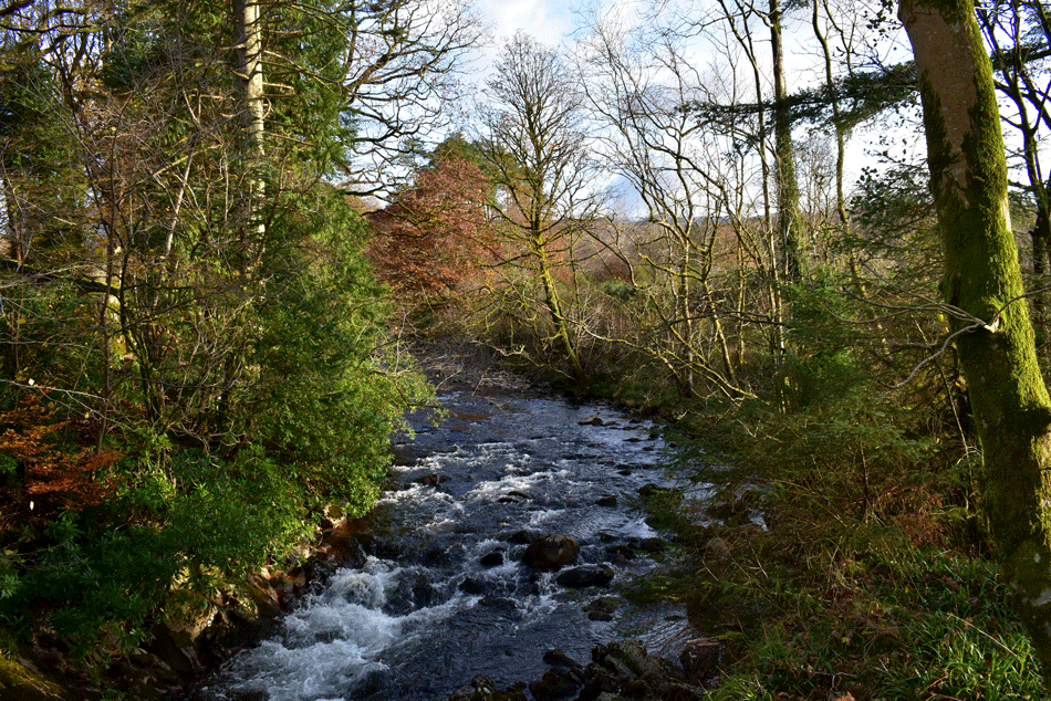
| The River Esk flowing West. |
| Taken from Dalegarth Bridge. |
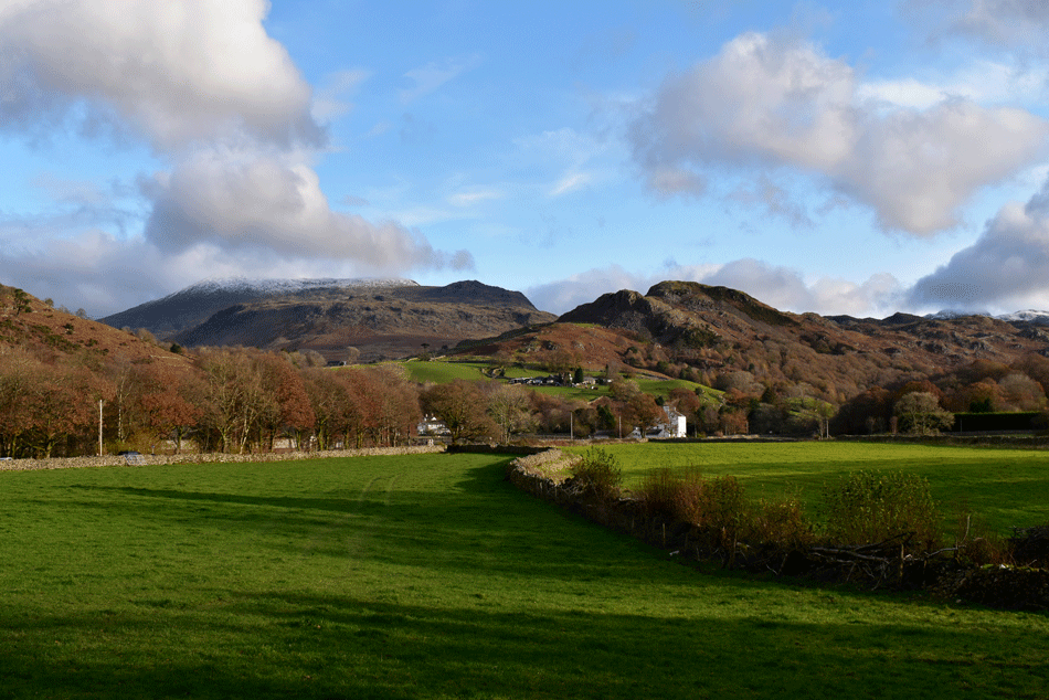 |
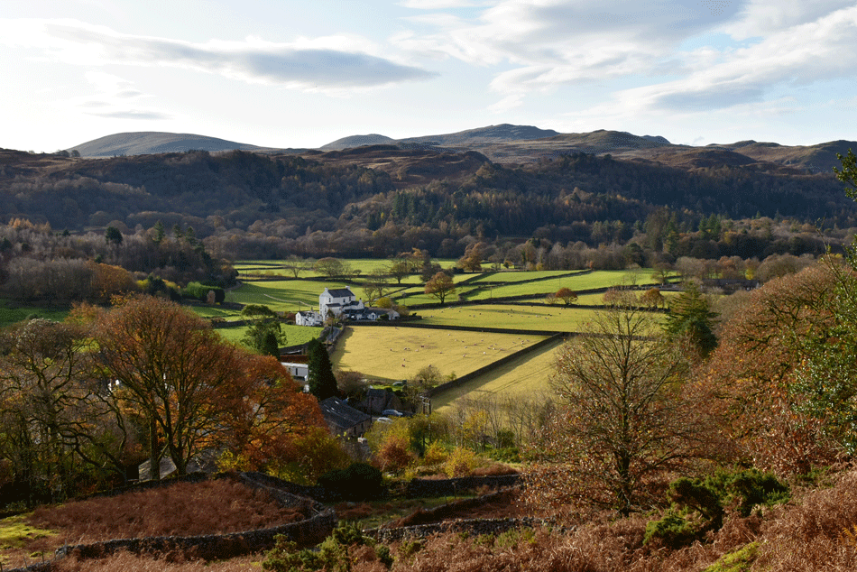
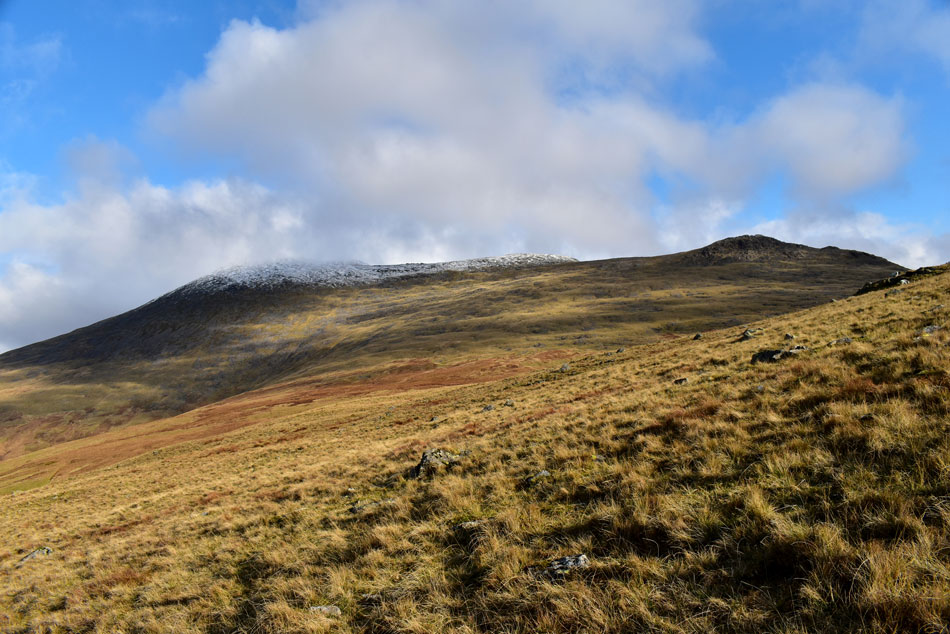
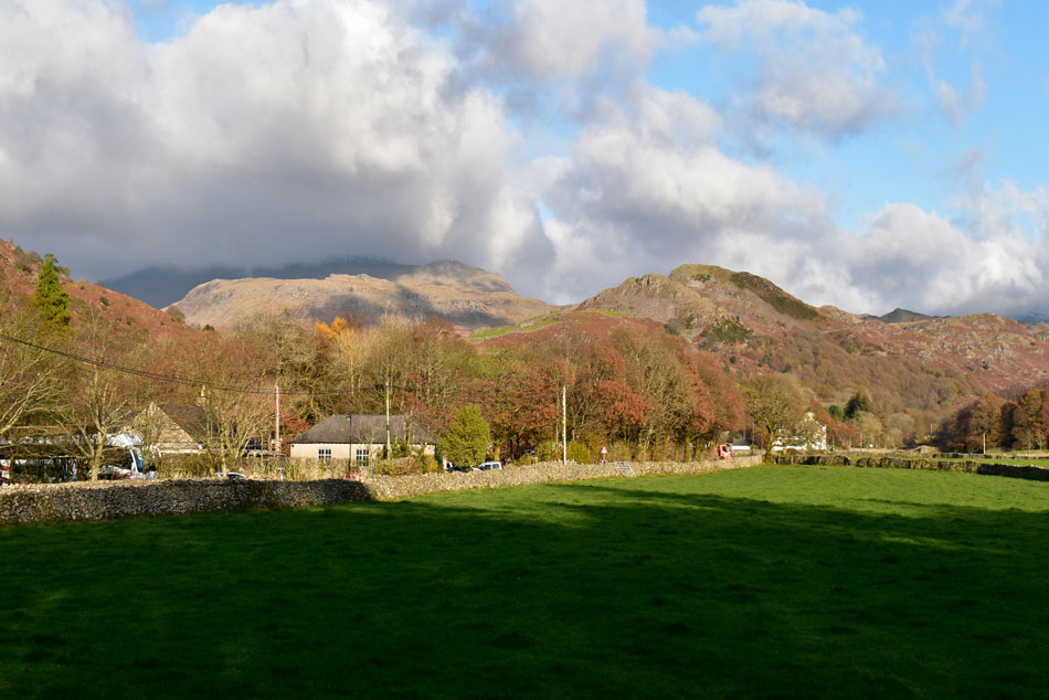
| Views over Boot towards Little Barrow, Great Barrow, Great How, Sca Fell and Slight Side. |
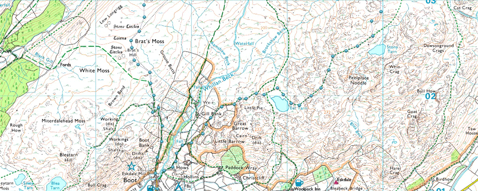
| That's Sca Fell seen with a dusting of snow in the distance while in the foreground Great How and Whinscales which are two of the three summits I'll be visiting today not before visiting Boat How on Brats Moss. Brat's Moss is easily gained via the old Peat Huts above Boot which is where I'm heading next. |
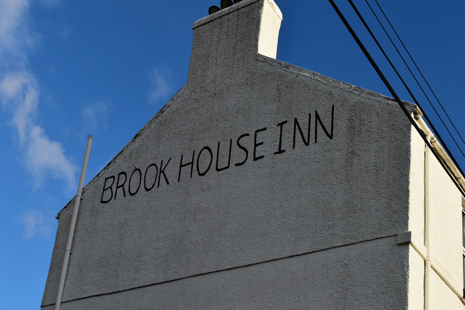 |
| The Brookhouse Inn, Boot, Eskdale. |
| David informs me that a very close friend of his family used to run the Brookhouse Inn back in the day and every time I walk or drive past I'm always reminded of that. |
 |
| Climbing out of Boot. |
| Boot was quiet as expected this morning without so much of a dog bark I think I went totally unnoticed as I walked through, perfect eh. |
 |
| Great Barrow and Harter Fell (Eskdale) as I ascend towards the old Peat Huts. |
If you squint you might be able to make out what Birkett describes as the 'umbrella shaped monkey tree' within the patchwork of walls below Great Barrow, it actually looks like a Scots Pine that's seen better days to me but I like Birkett's description better.
Well, as much as I'd love to look at monkey trees all day I best push on. |
 |
| Sca Fell, Slight Side and Great How from the old Peat Huts. |
| I followed the waterlogged track and ascended steadily and soon arrived at the old Peat Huts, there's actually three huts which were built into the hill side to store peat over Winter. |
 |
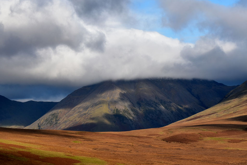
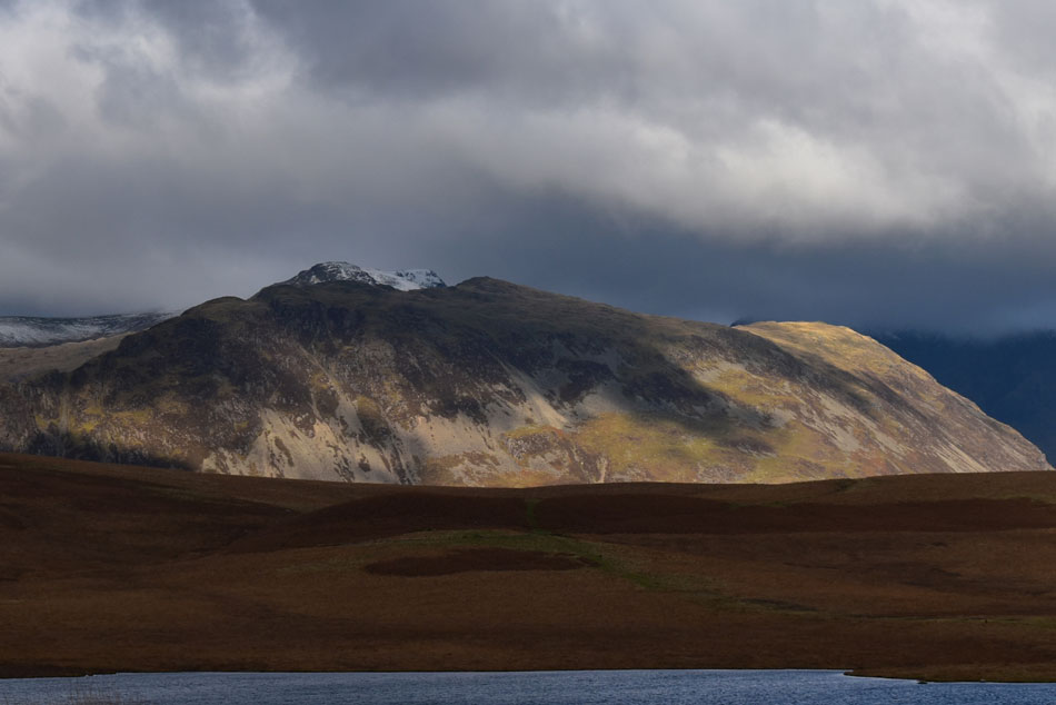
| Boat How, Sca Fell and Great How from Brat's Moss. |
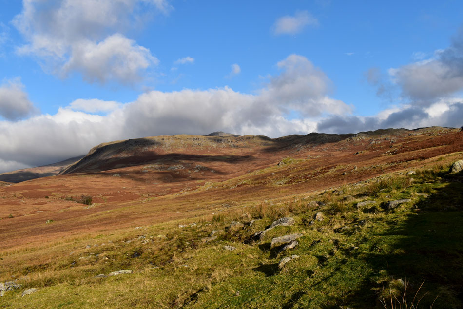
| It was turning into a bit of a sporadic morning weather wise with sometimes large clouds blocking the sunlight which can leave places like Brat's Moss feeling quite volatile but that didn't last long and before I knew it the sun was climbing higher into the sky which transformed the landscape within the click of a finger. Boat How, todays first summit appears as a grassy hummock but once closer gaining the summit requires a very short but quite steep climb. |
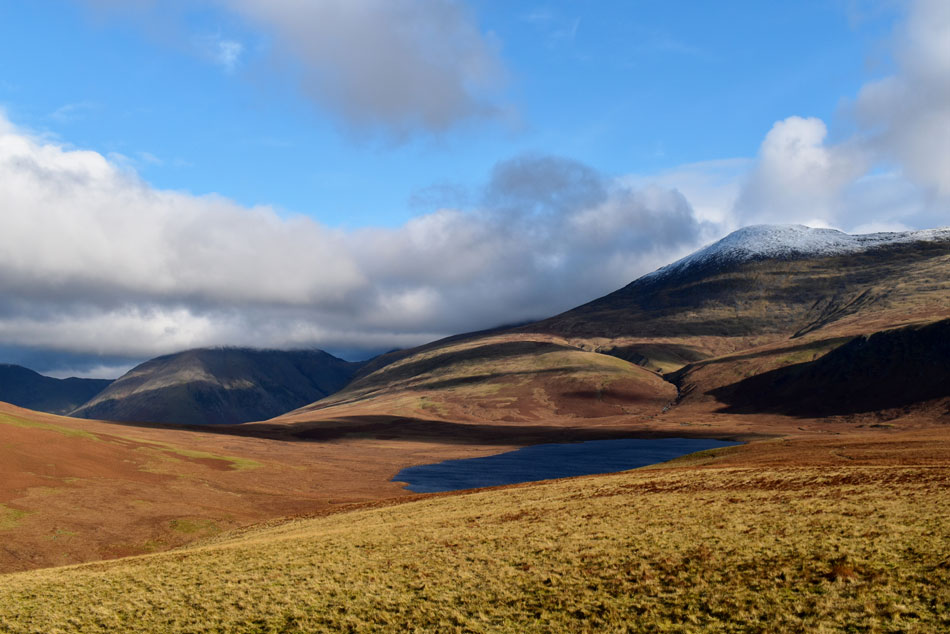 |
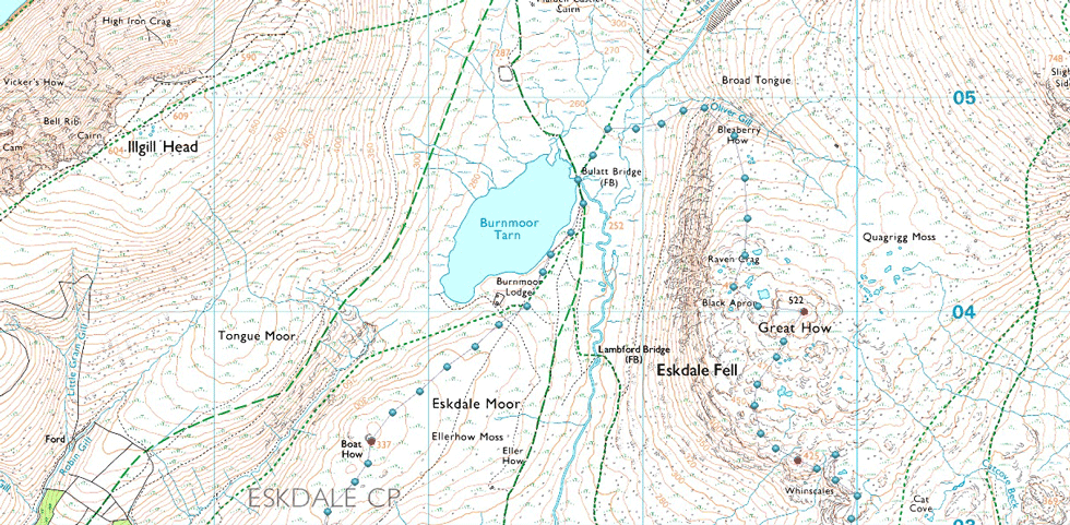
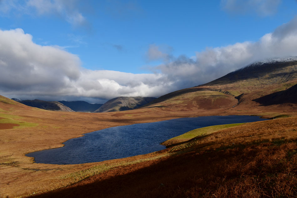
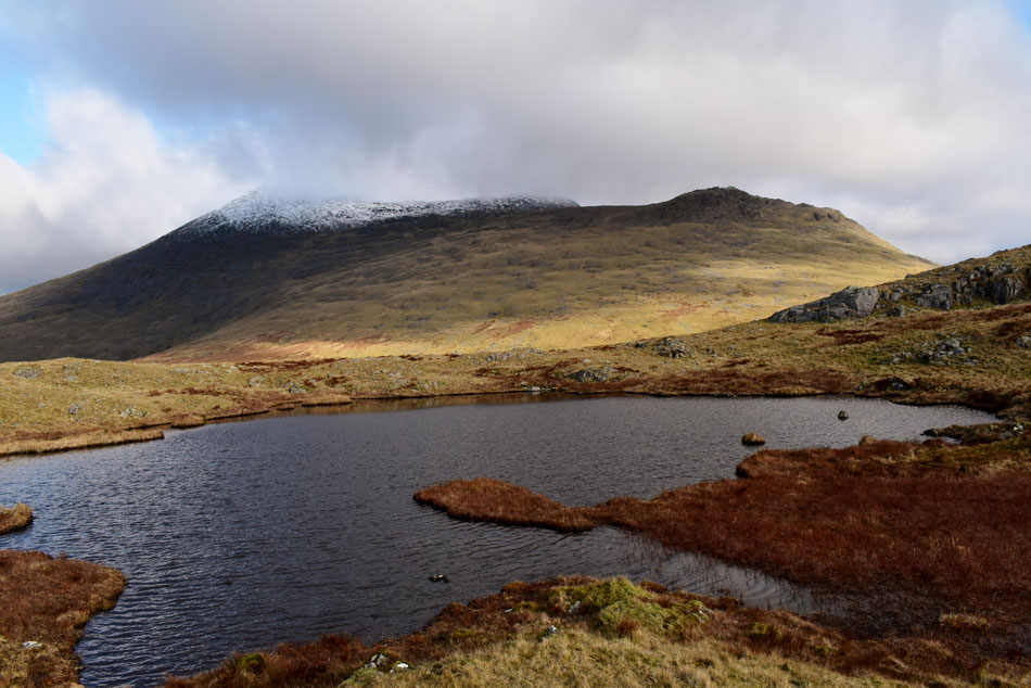
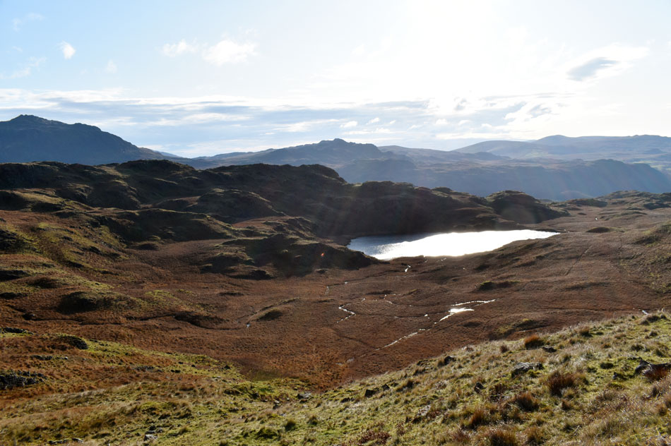
| Kirk Fell and Sca Fell seen over Burnmoor Tarn from Boat How summit. |
| I squelched my way through Brat's Moss and gained Boat How summit easily then ran to the other side of the summit to take in these breath taking views, I've been here a few times before but it's always been dull and cloudy, what a difference a little sunshine makes. |
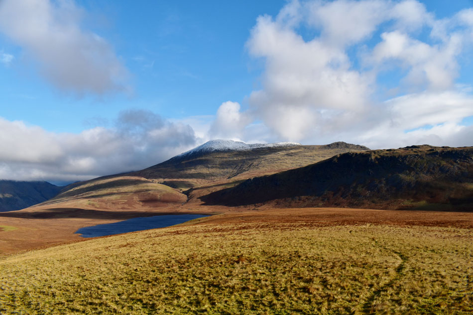 |
| Burnmoor Tarn, Sca Fell, Slight Side and Great How from Boat How. |
| That's Great How over on the right which can be gained from the descent of Slight Side via Quagrigg Moss or as I'll be ascending today via Oliver Gill seen tucked away in shade in the centre of the photo. |
 |
| Looking back on Muncaster Fell, Irton Pike and Whin Rigg over Miterdale. |
| |
 |
| Brat's Moss. |
| This mornings ascent can be seen off to the left on the Boot side of Brat's Moss. |
 |
| Kirk Fell wonders. |
| With the top of Black Sails Pass seen left and Beck Head over on the right. |
 |
| Now less the zoom. |
| Birkett recommends to take the path down to Burnmoor Tarn which is where Im heading next. |
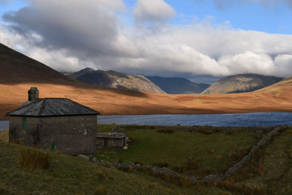 |
| Yewbarrow, Red Pike (Wasdale) and Kirk Fell from Burnmoor Lodge. |
| With Pillar also below cloud in the distance. |
 |
| Heading for Oliver Gill with views of Sca Fell and Hardrigg Gill. |
| I left Burnmoor Tarn and started to make my way towards Oliver Gill which is still in shade, it's only from here do you get to see the steep flanks of Great How over on the right, the ridge then falls onto Bleaberry How seen centre which drops steeply into Oliver Gill. |
 |
| Magnificent light over Yewbarrow. |
| With a snow capped Red Pike (Wasdale) just beyond. |
 |
| The wider view. |
| This time Seatallan and Haycock come into view. |
 |
| Views over Burnmoor Tarn towards a distant Irton Pike, Whin Rigg and IIIgill Head. |
Having crossed Bullat Bridge via its four railway sleepers I started to make my way across to Oliver Gill which was easier said then done encountering a swollen Whillan Beck, amongst many over tributaries which added to the task at hand.
Birkett recommends to ascend Bleaberry How/Great How via Oliver Gill which I keep to my left as it is extremely steep sided, instead I gain Bleaberry How by its steep flanks then take the ridge route over Bleaberry How and Raven Crag. |
 |
| A distant Caw Fell, Haycock,Yewbarrow, Red Pike (Wasdale) and Scoat Fell from Raven Crag. |
| |
 |
| Sca Fell and Slight Side from Bleaberry How. |
| Any ideas that I had an easy day ahead of me had just been laid to rest during the ascent of Bleaberry How, pheew whee that was a steep ascent but worth it once the ridge was gained where I stop to take in Sca Fell and Slight Side. |
 |
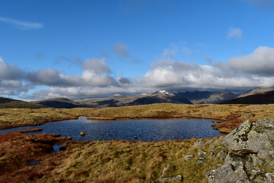
| Sca Fell and Slight Side as I pass a collection of Tarns on route to Great How summit. |
| With the tough ascent of Bleaberry How behind me my heart rate returns to normal and a fine cairn is passed at the summit of Raven Crag. Great How summit is due east which took me past three tarns this one being the largest. |
 |
| The view from Great How towards the snow capped summits of Haycock, Red Pike (Wasdale) Scoat Fell and Pillar. |
| With Yewbarrow's summit escaping the snow of its parent peaks. |
 |
| Adam-a-Cove, Stonesty Pike, Yew Bank and Hard Knott from Great How summit. |
| While over on the right is Wetherlam, Great Carrs and Grey Friar. |
 |
| Sca Fell and Slight Side seen over Quagrigg Moss. |
| |
 |
| Looking back on Great How (R) and Sca Fell as I head for Whinscales. |
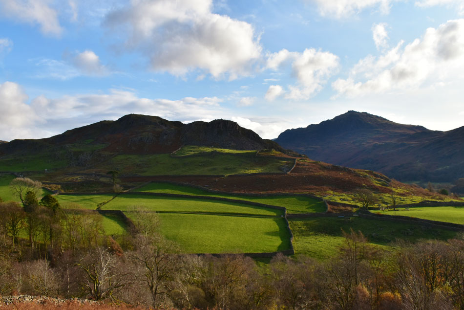
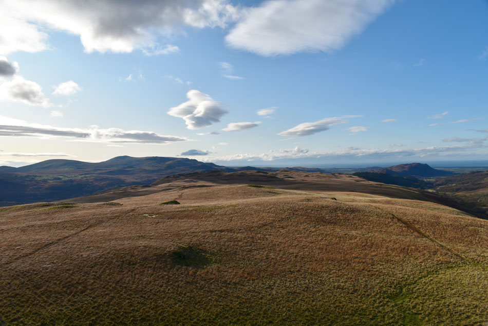
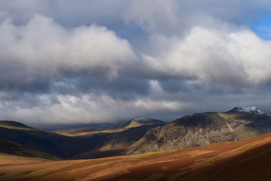
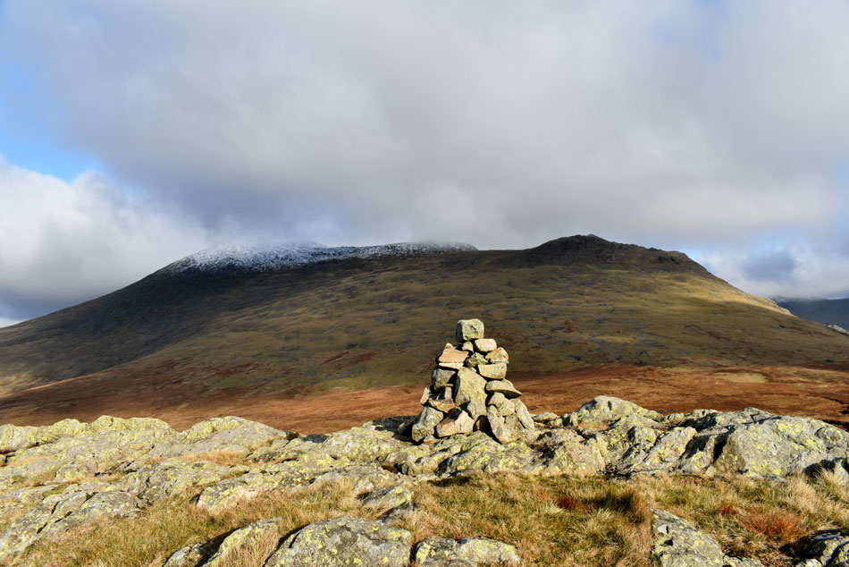
| I took Birketts advice and descended Great How via the grass rake seen up ahead while keeping my eye out for the summit of Whinscales which at first was difficult to locate so I keep to the high ground and traverse the curve of the summit plateau soon sighting Whinscales which was confirmed by a small cairn on its summit. |
 |
| Whinscales is ahead beyond the small tarn. |
| I also use the tarn as a marker which in poor weather would make a good navigational aid. |
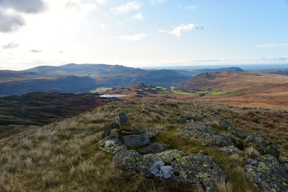 |
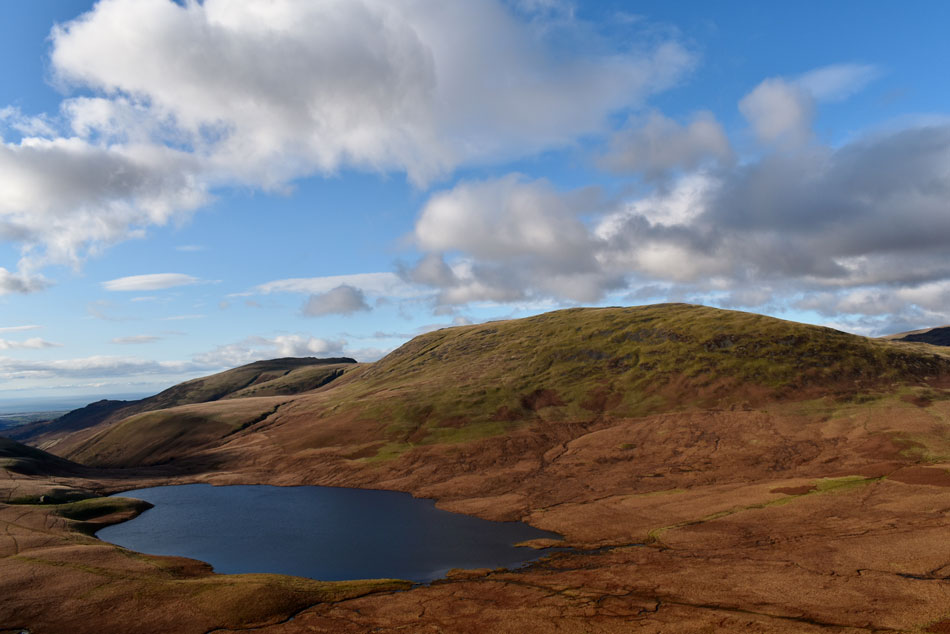
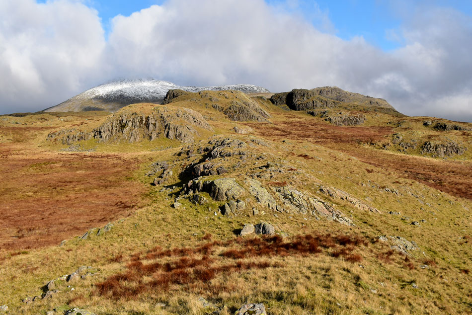
| Eel Tarn from Whinscales summit. |
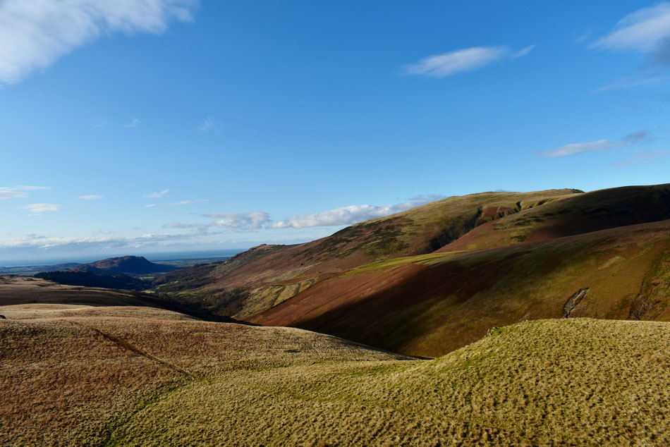
| Next I keep to the high ground and navigate around a wide gully just below the summit before making my descent towards Stony Tarn via Cat Cove. |
 |
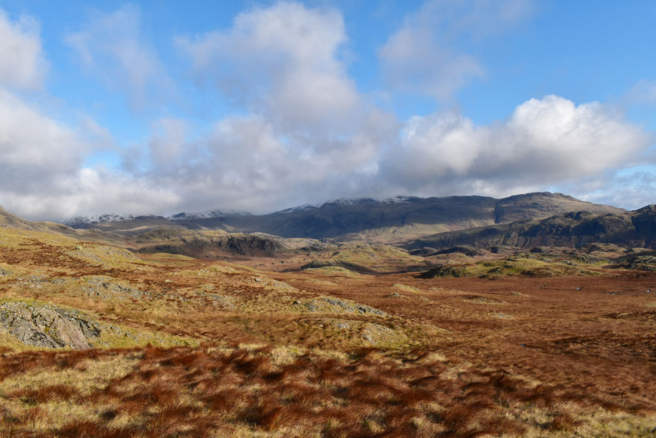
| Views from Whinscales towards Stonesty Pike, Little Stand, Yew Bank, Hard Knott, Border End, Great Carrs and Grey Friar. |
| With the top of Rowantree Crags in the foreground. |
 |
| A wild place and wonderful place. |
| And one not to visit without a map and compass. |
 |
| Harter Fell (Eskdale) Dawsonground Crags, Whin Crag and Stony Tarn from Cat Cove. |
| It's looking mighty wet down there but what a place with no one around for what feels like miles. |
 |
| Dawsonground Crags, Whin Crag seen above Stony Tarn. |
an
| I descend before picking up the path on the west flank of the Tarn which wasn't as boggy as I thought it would be. If you want an area of Lakeland to walk in solitude then this is the place for you. |
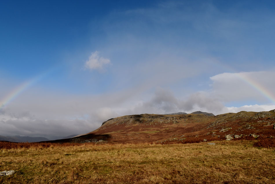 |
| Rainbow over Great How and Whinscales. |
| With Stony Tarn behind me I make my way towards Eel Tarn found about half a mile away where I caught the fringes of a passing shower followed by this lovely rainbow over Great How. |
 |
| Passing Eel Tarn. |
| With Harter Fell (Eskdale) and Green Crag in the distance. |
 |
| Looking back on Great How and Whinscales. |
| With Slight Side in the distance. |
 |
| IIIgill Head and Boat How as I approach Gill Bank. |
| After the shower had passed I picked up the path for Gill Bank not quite believing that right now it's feeling more like Summer than Autumn with lovely warm sunshine to head back to Boot even encountering swarms of midges, it feels quite bizarre but I'm not complaining. |
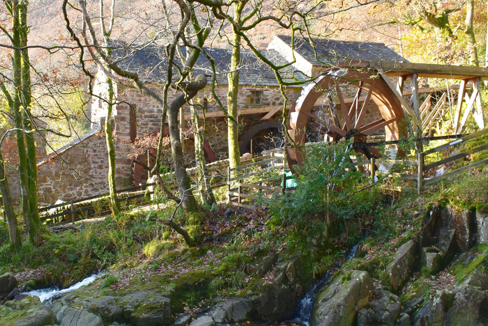 |
| Eskdale Mill Waterwheel. |
| Which was replaced as part of a National Lottery funding scheme together with Eskdale Mill and Heritage Trust. |
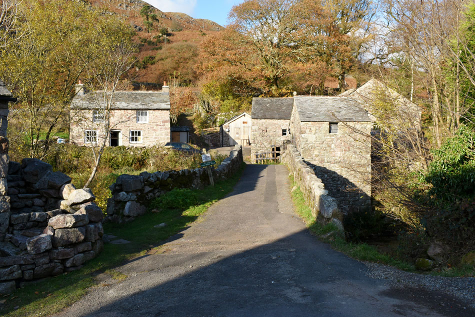 |
| Eskdale Mill, Boot. |
| |
 |
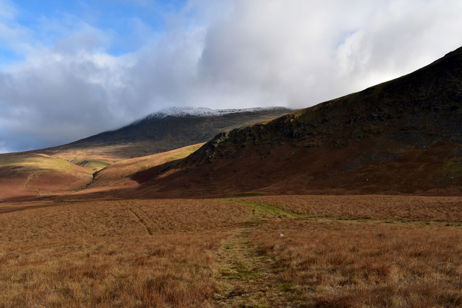
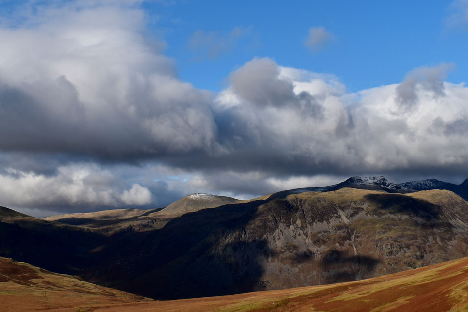
| Cloud over Sca Fell with Slight Side about to succumb. |
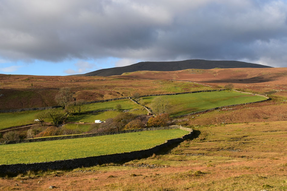
I arrived back in Boot in brilliant afternoon sunshine which was just as quiet as I'd left it over four hours earlier. The Brookhouse Inn is passed which appears deserted with the exception of a few staff chatting to one another over the sound of a TV. Dalegarth Station is passed where a chap clears litter from between the narrow gauge tracks while behind the station building two Utilities workers carry out maintenance and while it seems Eskdale is busy its just me being my usual observant self while in the back of my mind I compare how Manchester or home would be right now and reflect in my escapism.
Even though my walk was almost over I notice my pace slows and I stop numerous times for no reason other than feeling blessed here in Eskdale. |
|
| |
| Back to top |
 |
|