Walking the Birketts, Wansfell

7th December 2019

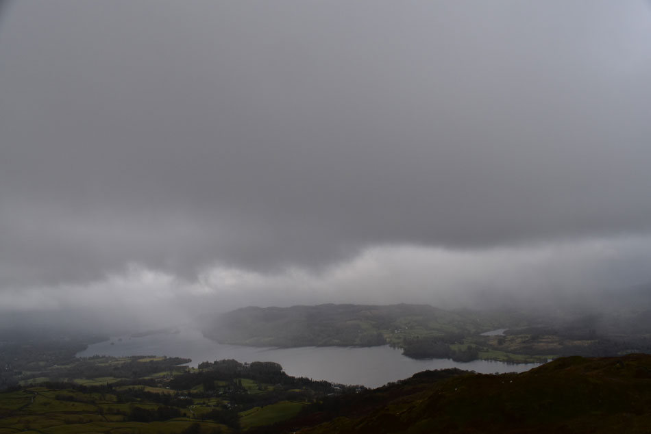
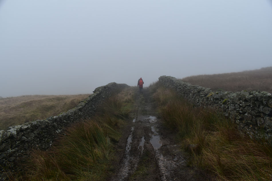
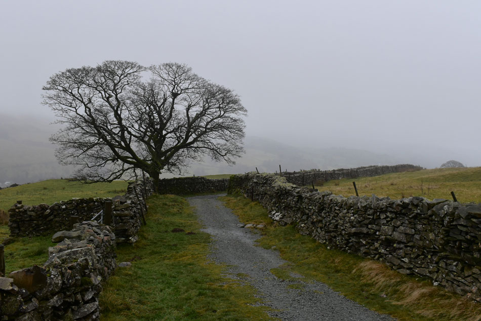
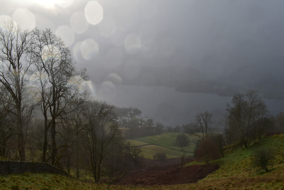
It would have been great to have had some snowfall right about now but I guess that's asking too much so instead after last weekends superb forecast the weather has returned to low cloud and rain this weekend and with that in mind I couldn't see any point in climbing anything higher than 1,500ft so I had a look through Birketts Lakeland Fells book and found the perfect walk for a dreary December day.

David had already confirmed that he and Jennifer would be visiting the Christmas markets at Hawkshead today so during the early part of the week Rod emailed asking what the plan was for the weekend and I replied after checking the forecast with Birketts route on Wansfell Pike.

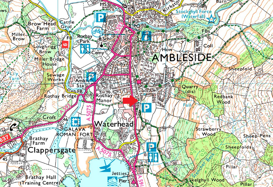
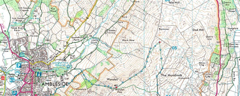
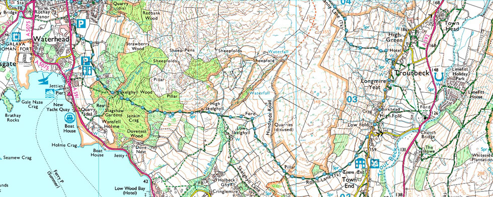
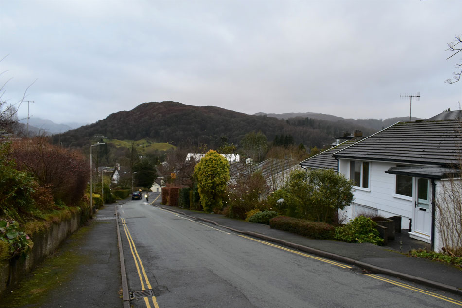
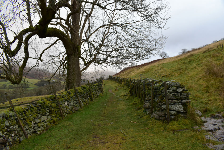
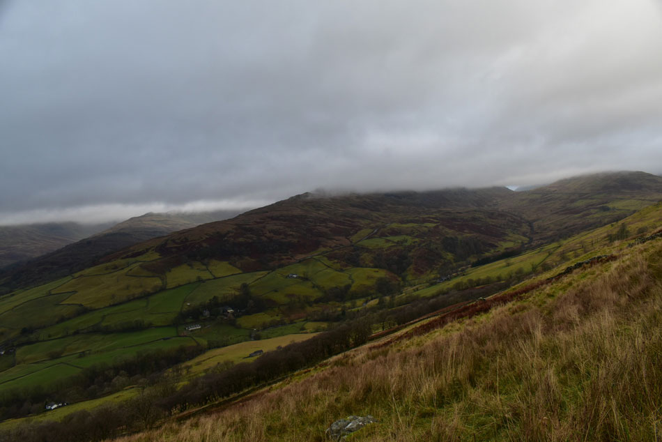
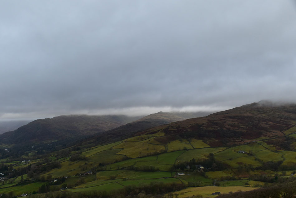
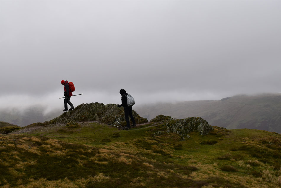
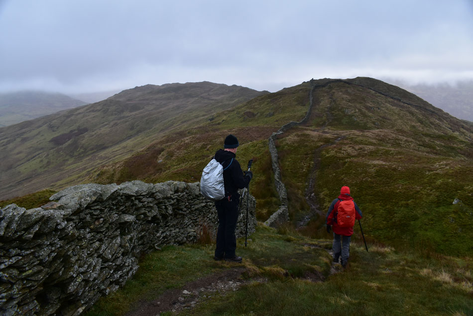
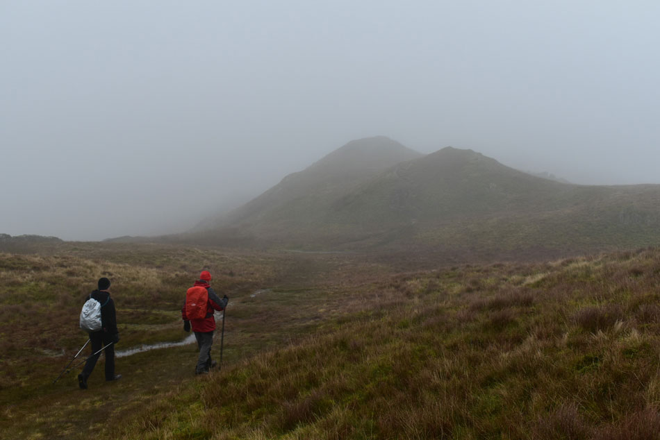
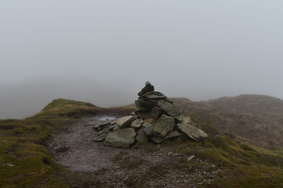
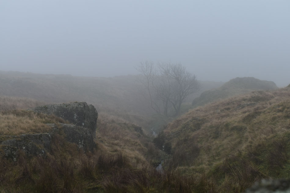
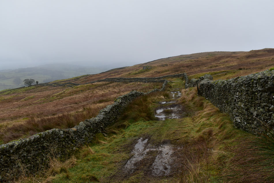
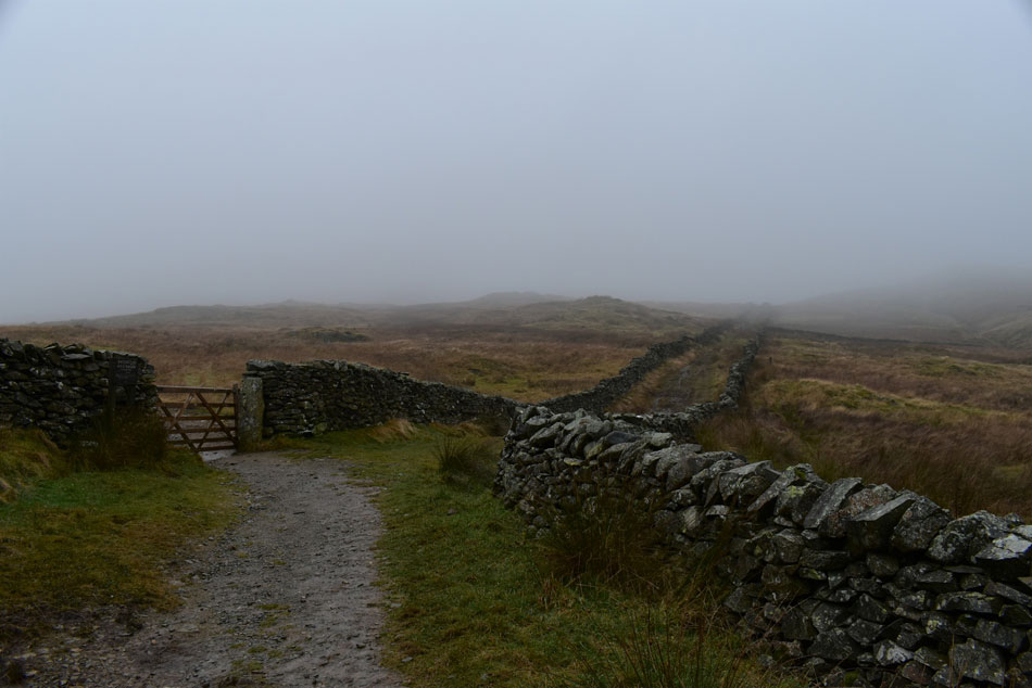
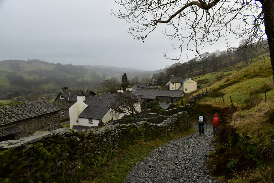
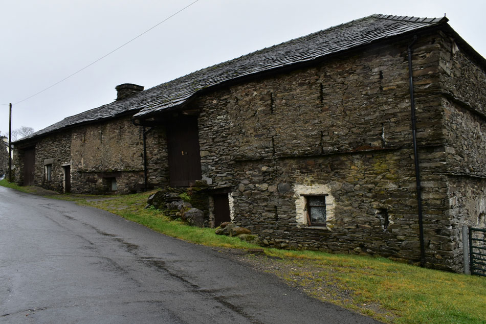
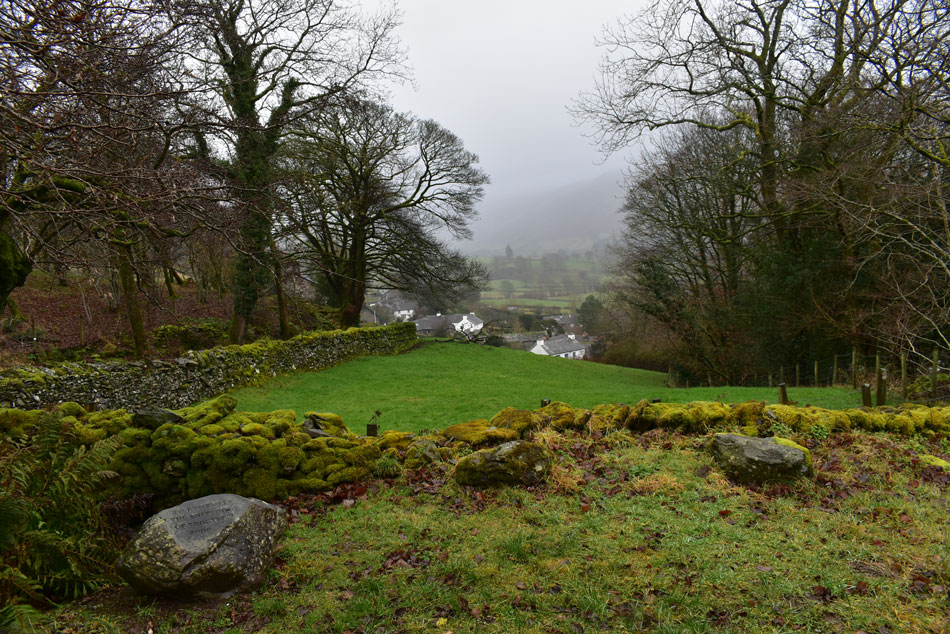
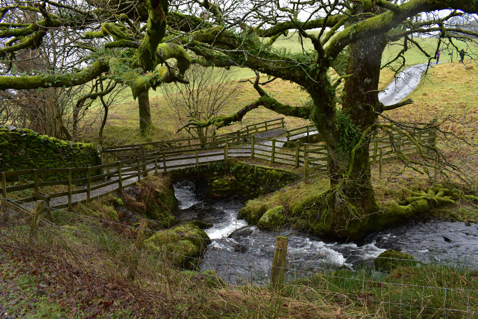
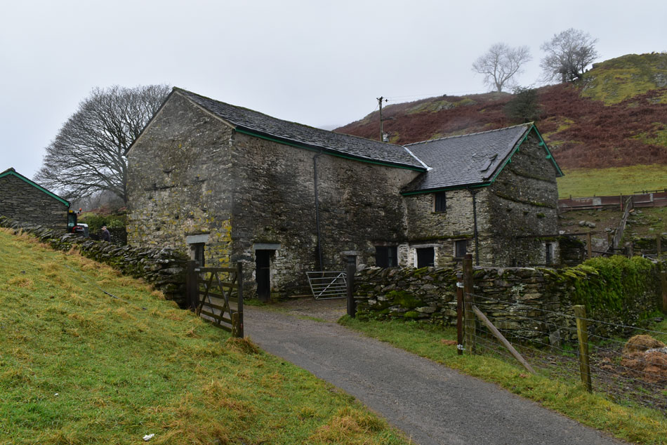
I had never climbed Wansfell Pike from Ambleside directly before, well that's if your not counting Millers Bridge on the Rothay Park side of Ambleside whereas todays walk starts from Ambleside Old Road before passing through the residential areas of Fisherbeck Park then onto Blue Hill Road continuing along the north western flank of Wansfell Pike.. We summit via the familiar path then head north along the spine of the fell towards Wansfell (Baystones) before returning to Ambleside via Troutbeck and Skelghyll Wood by which time, we were pretty soaked.

 
The Complete Lakeland Fells
By Bill Birkett

-Wansfell

A much loved hill, Wansfell is to Ambleside What St Paul's is to London.


Overview
Ascent: 1,875 Feet - 570 Metres
Birketts: 2, Wansfell Pike - Wansfell (Baystones)
Weather: A Dry Start With Drizzle & Light Rain Arrving By Mid Morning. Highs of 12°C Lows of 8°C
Parking: Low Fold Car Park, Ambleside
Area - Group: C/FAR - Far Eastern
Miles: 6.75
Walking With: Rod & Michael
Ordnance Survey: OL7
Time Taken: 4 Hours
Route: Ambleside - Blue Hill Road - Wansfell Pike - Wansfell (Baystones) - Nanny Lane - Troutbeck - Robin Lane - High Skelghyll - Skelghyll Wood - Ambleside
 

Parking Details and Map for Ambleside Old Road/Fisherbeck
Nearest Post Code: LA22 0DN
Grid Reference: NY 377 038
Notes: 44 Spaces


Map and Photo Gallery


Loughrigg Fell from Fisherbeck Park 08:45am 8°C
We had arranged to meet at 08:30am and I arrived first soon followed by Rod and Michael. It was touch and go whether we go for the full 'waterproof' approach as there was drizzle in the air and rain forecast later, in the end we decided to just add waterproof jackets and gaiters then add over-trousers if required later. We left the car park and turned immediately left onto Fisherbeck Park, after a short distance we could have taken the next left which would have brought us onto the Blue Hill Road but instead we continued up Fisherbeck Park to what appears to be a dead end but there's a sneaky alleyway on the left which joins up with Blue Hill Road soon after.

Rising above Ambleside.
We left Blue Hill Road behind and joined the track along the lower north west flanks of the fell. In places the track was quite steep and after recent rain was often waterlogged with drain water pouring down from the fell side. It might be wet underfoot, but it's staying dry overhead for now.

Low Pike (Scandale) Snarker Pike, Red Screes (below cloud) the top of Kirkstone Pass and St Raven's Edge.
It was evident the cloud was going nowhere today which obscured summits below 1,500ft. The far ridge is the east flank of the Fairfield Horseshoe with only Low Pike peeping out below the cloud, I couldn't but help feel sorry for anyone walking the Fairfield Horseshoe today.

In this photo Nab scar comes into view.
With Heron Pike and Great Rigg lost below the cloud.

Windermere from Wansfell Pike summit.
We climbed steadily deep and conversation and soon reached the summit fence then passed through the familiar gate which still opens and closes with a squeak! By now the cloud was closing in behind us and views over Windermere were getting more limited by the minute.

Rod and Michael, Wansfell Pike summit.
Michael wisely adds gloves!

Leaving Wansfell Pike bound for Wansfell (Baystones) seen far left.
It's a pretty straight forward up and down traverse to Wansfell (Baystones) and not as popular as Wansfell Pike itself.

Heading for Wansfell (Baystones)
The low cloud was bound to catch up with us at some point while underfoot, it was incredibly wet.

Wansfell (Baystones) summit.
We arrived a Wansfell (Baystones) summit yet Birketts summit is found a hundred yards north of this cairn beyond a stone wall which we visit next and found no cairn, with the clag closing in I did manage to take a photograph but to be honest, we could have been stood anywhere!

Hundreds Road.
We left Wansfell (Baystones) and followed a quad bike track onto the Hundreds Road, by now visibility was reduced to about 60 metres, sometimes less while Hundreds Road was as I had always remembered it, muddy from one end to t'other!


Nanny Lane.
Mmmm, after so much rain Nanny Lane wasn't much better but at least it didn't stop folk heading out onto Wansfell Pike as we passed a few along here who had ascended from Troutbeck which is where we are heading next.

Hundreds Road from Nanny Lane.
On a clear day Wansfell Pike should be right there.

Nanny Lane.
The drizzle soon turned to rain which also tends to dampen conversation but that didn't matter, we were out doing what we love while taking in the atmospherics of Lakeland on a damp and dreary day.

Troutbeck rooftops.
 

Old barn, Troutbeck.
We soon arrived in Troutbeck and were pleased to find tarmac underfoot. At the side of one cottage where the owner had turned a drain into a water feature where we managed to swill our boots over before continuing towards Robin Lane.

The view over Troutbeck from Robin Lane.
Still a cracking view despite the low cloud.

Low Skelghll.
We left Robin Lane and descended into Low Skelghyll where we passed more walkers, some solo and some couples. It was still raining but morale was kept high knowing lunchtime was just around corner.

High Skelghyll farm.
We rose steadily and passed High Skelghyll farm then joined the track towards Skelghyll Wood just after passing through the farm yard.

Windermere from Skelghyll Wood.
At one point the sun did try to come out but with so much cloud about it was soon obscured but I did manage this one photo during that split second!


Moss covered stone wall, Skelghyll Wood.
With hunger in our bellies we passed through Skelghyll Wood where we were relieved from the drizzle for a short while before arriving back in Ambleside to the smell of wood smoke which brought our walk to a fitting end under the dreariness of a Lakeland December sky.


Back to top