|
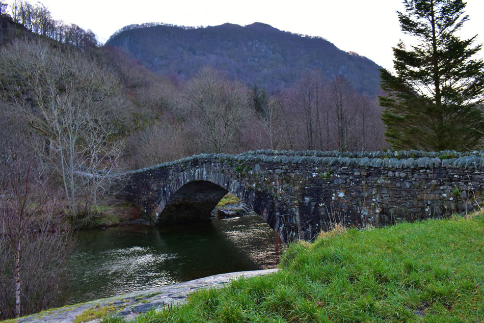
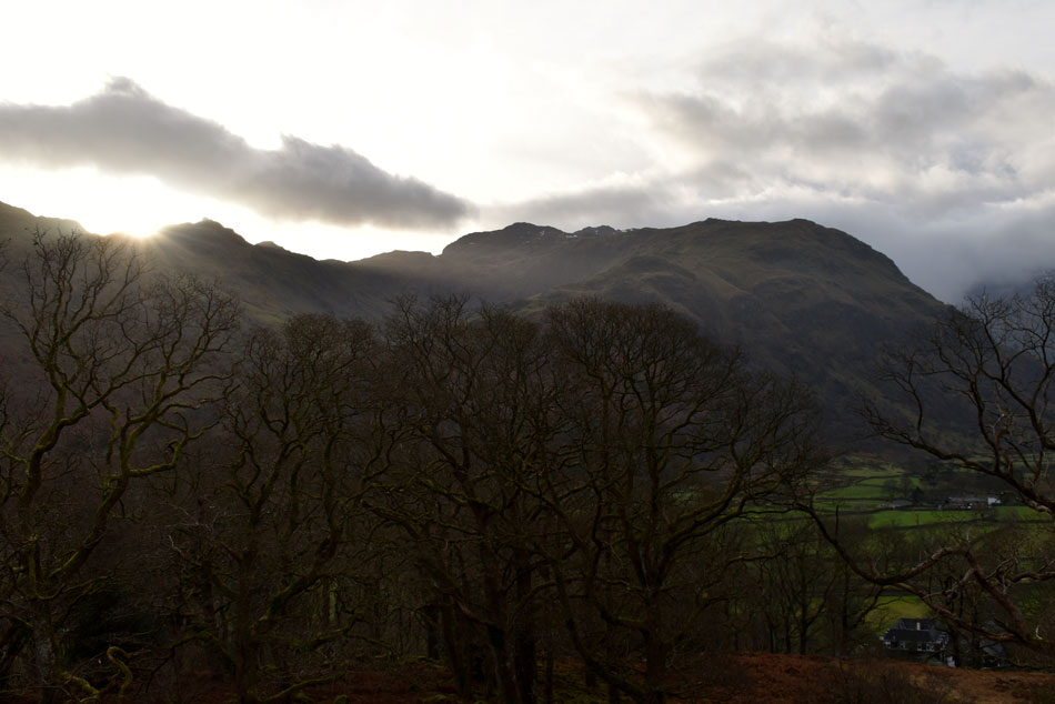
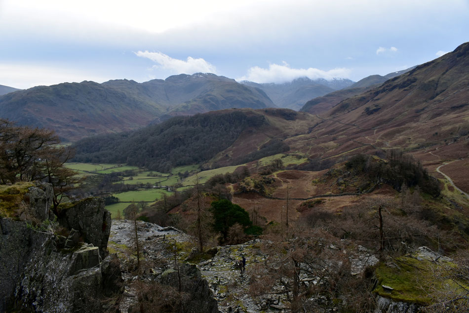
High Dote and Castle Crag from Grange |
 |
 |
28th December 2019 |
 |
|
This festive break has proved to be pretty frustrating time for me between working and trying to get to Lakeland which was stopped more by poor forecast after poor forecast made worse by checking said forecast repeatedly all to no avail, I believe I fell into the trap of checking the weather reports instead of just getting into the car and taking the plunge where more often than not the forecast wasn't as bad as predicted which was confirmed twice by David and Facebook friend Raymond Greenhow, bugger.
Well, after sulking my way through Christmas myself, David and Rod had arranged to walk this Saturday the only thing was, we didn't have a walk confirmed. After checking the forecast we noticed that despite it being a dry weekend above the tops 40-60mph winds were forecast which I don't mind in small doses, after all we could have planned a route which didn't leave us too exposed across the summits but it was agreed it was too soon after our tumble dryer experience on St Sunday Crag a couple of weekends ago. I put this walk together after wanting to walk in Borrowdale, it didn't really matter where it's just it had been sometime since I was last here so I planned my route around two of Borrowdale's smallest hills in High Dote and Castle Crag, the rest of the route was simple starting from the hamlet of Grange we would head out as far as Seatoller by the River Derwent and loop back taking in High Dote and Castle Crag. As it turned out it turned out to be a cracker of a walk and my final for 2019 |
|
| Wainwright Guide Book Six |
 |
| The North Western Fells |
-Castle Crag
Even today one man in possession , armed with a stick, could prevent its occupation by others whatever their number, there being one strategic point (the place of access to the top) where passage upward is restricted to single file traffic |
 |
|
|
|
| |
|
Overview |
|
|
| Ascent: |
1,400 Feet - 427 Metres |
| Wainwrights: |
Castle Crag |
| Visiting: |
High Dote |
| Weather: |
Overcast But Mild With Some Bright Spells. Windy Once Height Was Gained. Highs of 10°C Lows of 9°C |
| Parking: |
Parking Spaces, Grange Methodist Church, Grange |
| Area: |
North Western |
| Miles: |
6.3 |
| Walking With: |
David Hall & Rod Hepplewhite |
| Ordnance Survey: |
OL4 |
| Time Taken: |
4 Hours 15 Minutes |
| Route: |
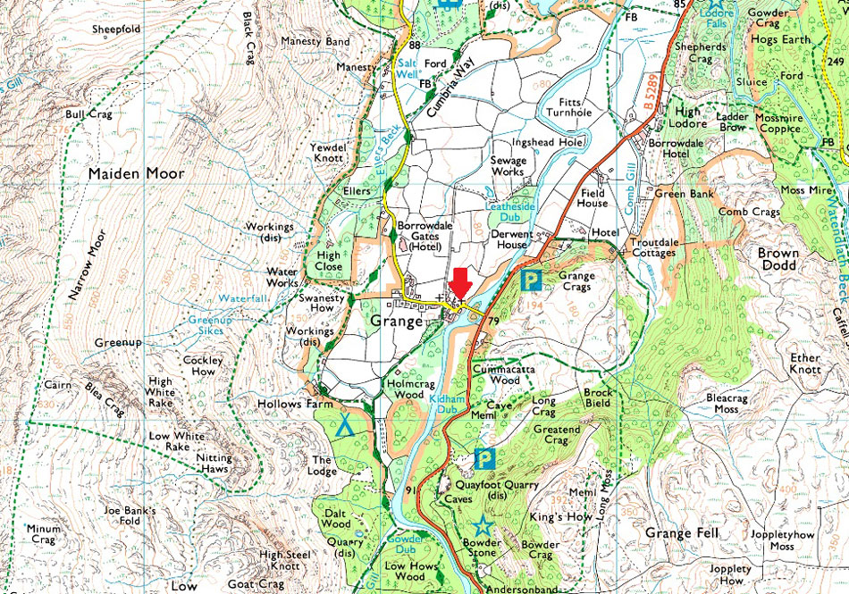
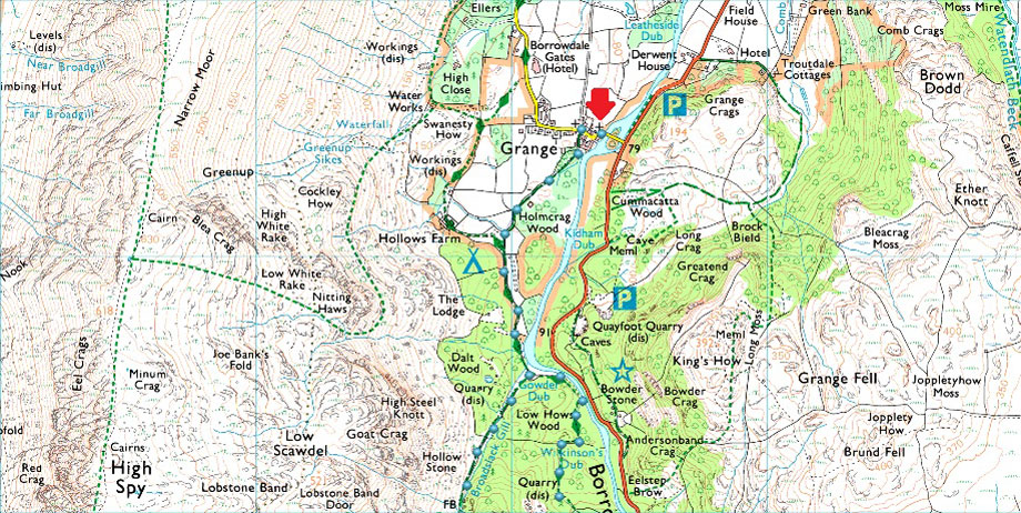
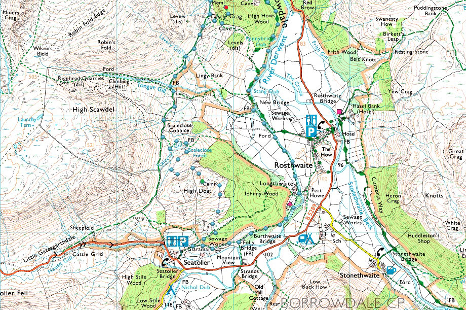
Grange - Holmcrag Wood - Low Hows Wood - High Hows Wood - River Derwent - Longthwaite - Seatoller - High Dote - Tongue Gill - Castle Crag - Broadslack Gill - Grange |
|
| |
|
Parking Details and Map Parking Spaces, Grange Methodist Church, Grange |
|
|
| Nearest Post Code: |
CA12 5UQ |
| Grid Reference: |
NY 253 174 |
| Notes: |
A small car park can be found next Grange Methodist Church (first left after crossing Grange Bridge) with space for upto six cars. Parking is free. |
|
| |
|
Map and Photo Gallery |
|
|
 |
| Kings How from Grange Bridge, Grange 08:40am 9°C |
| We had arranged to meet at 09:00am which is later than our usual meeting time of 08:30am (Winter) which would allow us to have a lie in but my head was having none of it and I was up and ready half an hour before I should have been which just showed my eagerness to get out. David and Rod must have been feeling it too because by the time I arrived shortly before 08:30am Rod was already there and David was just seconds behind me. The morning air is mild coupled with the gentlest of breezes but high above as we looked deeper into Borrowdale the cloud was hurtling along at some pace which left us knowing we'd made the right decision with todays route. We kit up and twenty minutes before we were due to meet we are leaving Grange whilst catching up on holiday conversation bound for the River Derwent further up stream. |
 |
| Nitting Haws from Dalt Wood. |
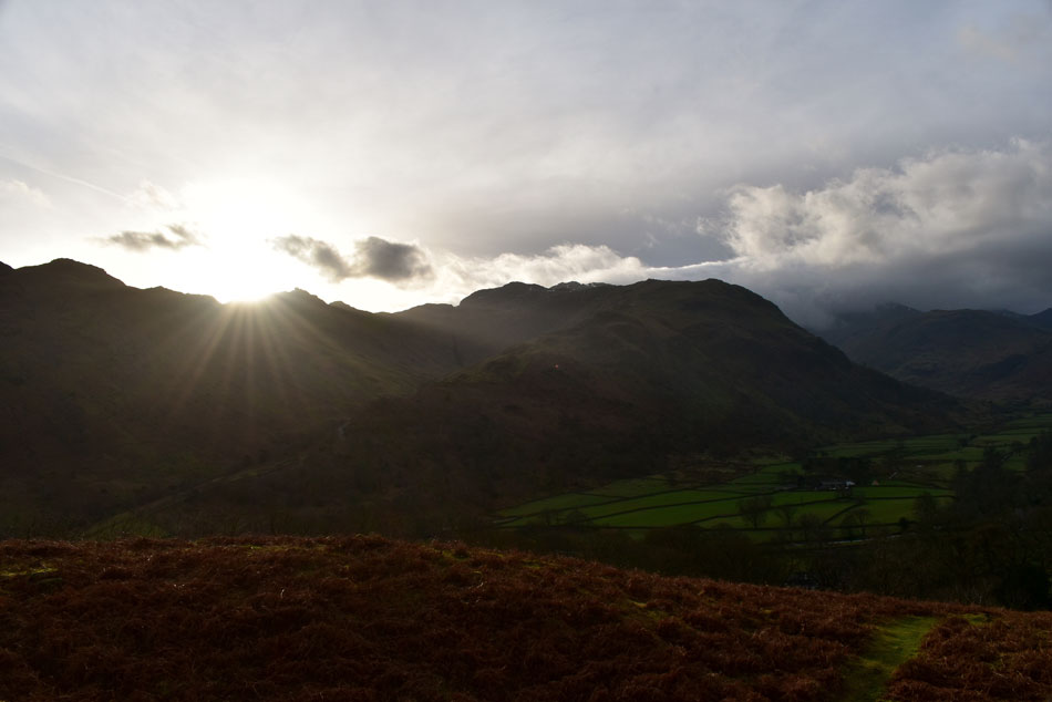
| Despite being surrounded by cloud deeper into the valley directly above Borrowdale itself we had clear blue skies with pulses of sunlight bursting through on a day when it was actually forecast to be grey and murky. |
 |
| The River Derwent. |
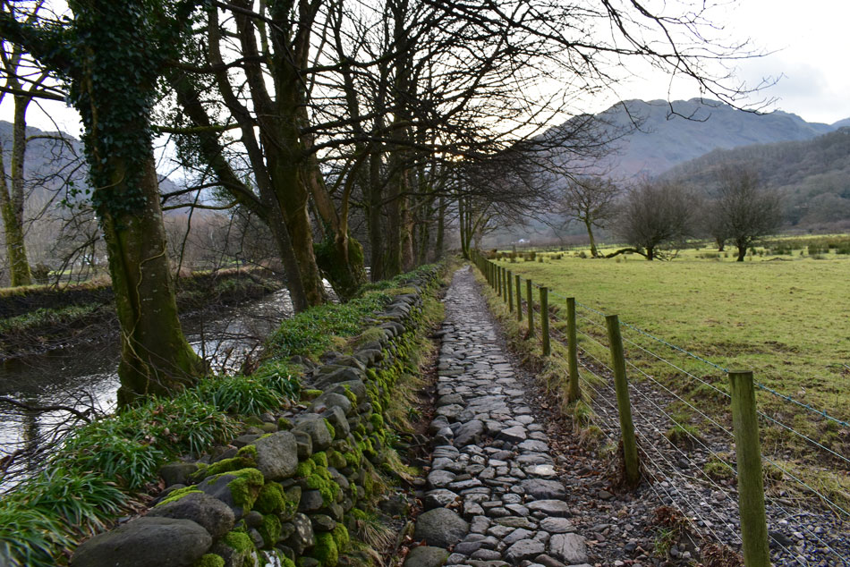
| After passing through Holm Crag Wood and Dalt Wood we arrived at the infamous bend in the Derwent, here the path splits into two, heading right here would take you directly towards Castle Crag via Broadslack Gill or left as we are about to follows the banks of the River Derwent towards Rosthwaite. |
 |
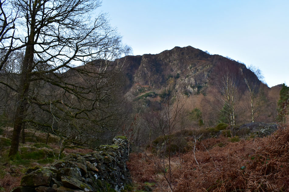
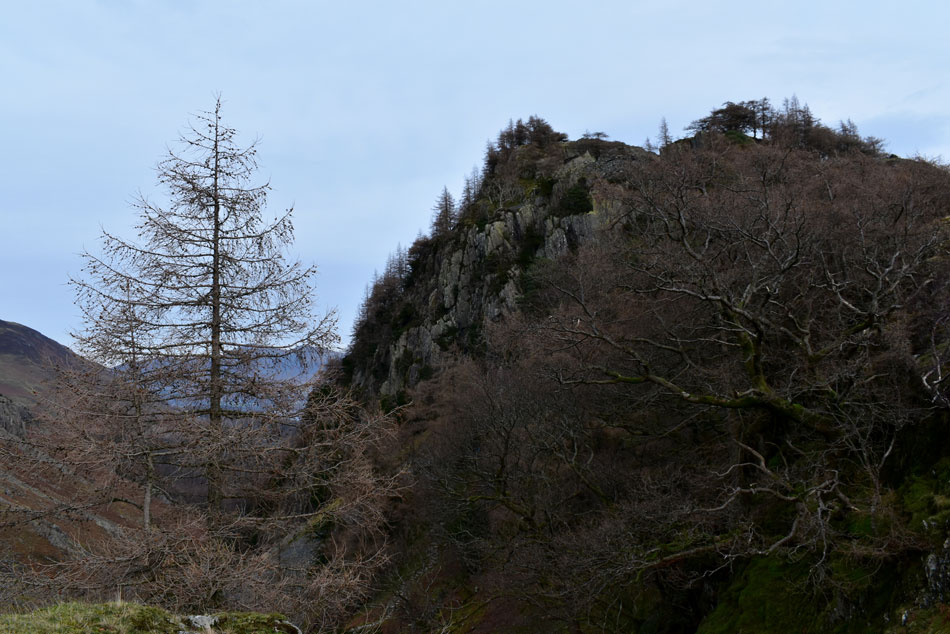
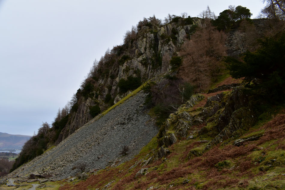
| Castle Crag from High Hows Wood. |
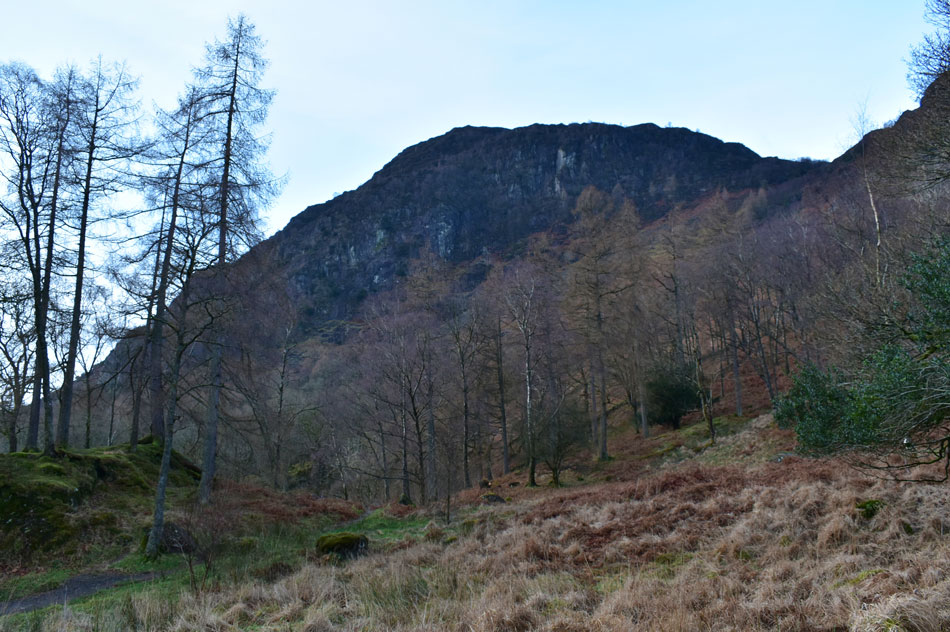
| That's Castle Crag east flank heavily fortified by High Hows Wood not to mention Castle Crag's impressive steep crags. There is a good path which passes through the woods and up through the remains of the old quarry which can be gained from Rosthwaite. |
 |
| Goat Crag and High Steel Knott from High Hows Wood. |
| There's that blue sky again right over central Borrowdale. |
 |
| Low Scawdel and Lingy Bank. |
| We left the peacefulness of High Hows Woods and begain the short walk towards New Bridge (Rosthwaite) |
 |
| Great Crag from the River Derwent (Rosthwaite) |
| With High Hows Wood behind we flanked alongside the River Derwent once more where we were passed by two walkers and 'mornings' were shared. In the distance low cloud is obscuring views over Greenup Edge from the direction of the Langstrath valley. |
 |
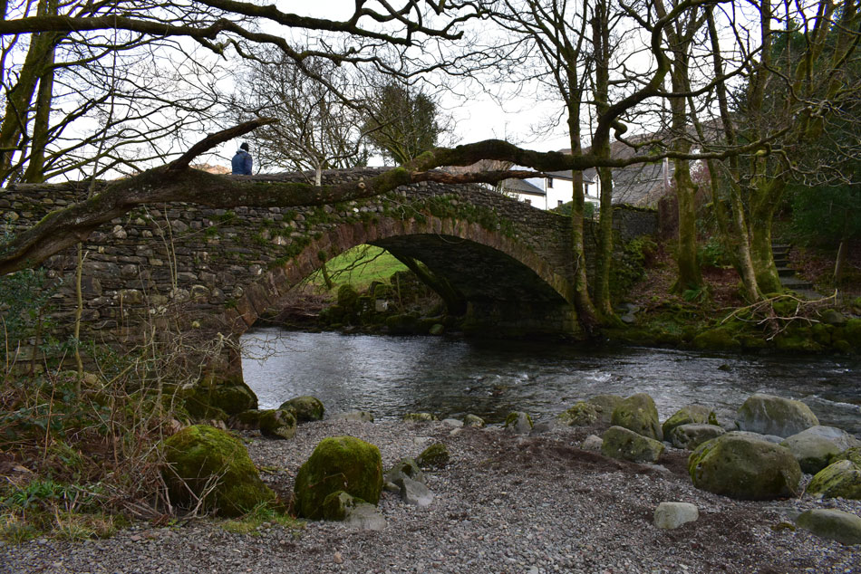
| New Bridge, Rosthwaite. |
We had passed more walkers and two fell runners in the short distance it took us to reach New Bridge which was damamged by Storm Desmond back in December 2015. The bridge was closed off while repairs were carried out and now it's looking as good as ever noting it's difficult to tell if the bridge was ever damaged at all.
Here instead of crossing New Bridge we keep right and follow the banks of the Derwent towards Longthwaite. |
 |
| Rosthwaite Fell (Bessyboot) as we head towards Longthwaite. |
| This is the first time I've used this path and I must say how impressed I was most likely because you have the sound of the river flowing alongside accompanied by great views of the Borrowdale fells. |
 |
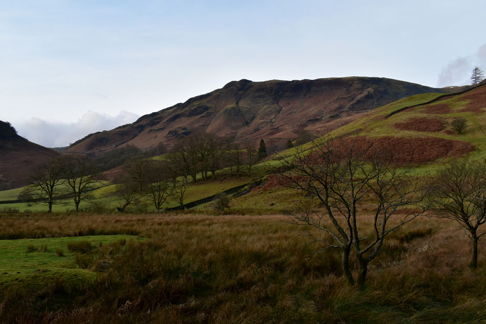
| High Dote (left) and Low Scawdel (right) |
| |
 |
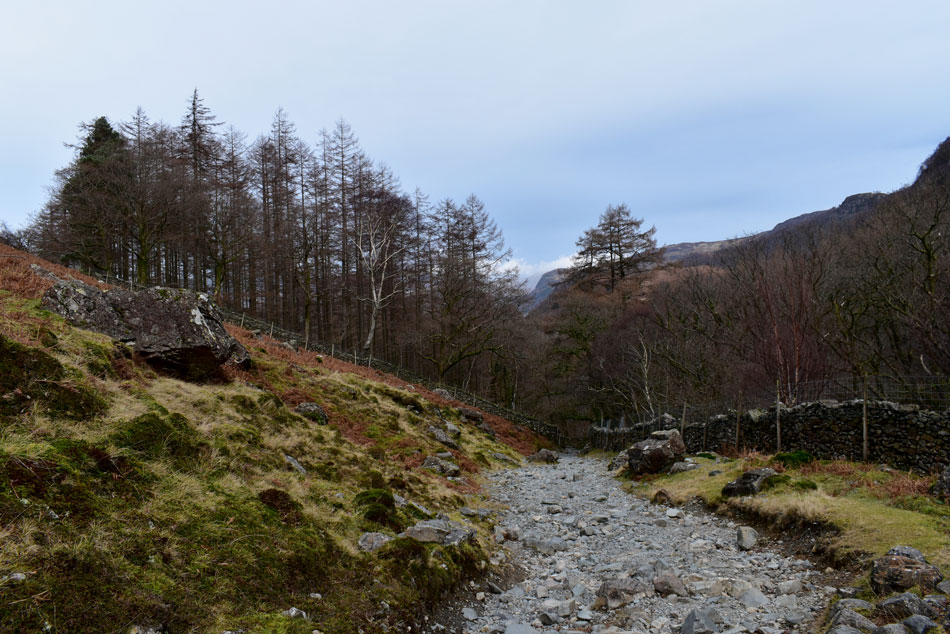
| Passing Longthwaite Bridge, Longthwaite, Borrowdale. |
| The stone path lead us into Longthwaite and Longthwaite Farm and we managed to get a friendly 'morning' from the Farmer. We passed through the farm and followed the road towards Borrowdale YHA. |
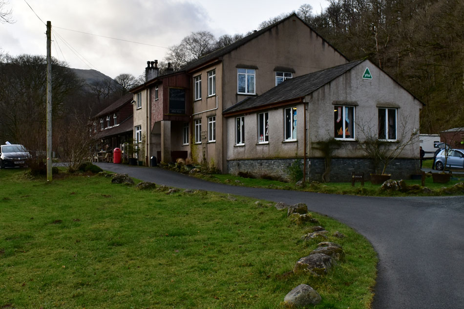 |
| Borrowdale YHA, Borrowdale. |
Our route towards Seatoller took us through Borrowdale YHA which was quite busy judging by the cars parked around the back and people going about their morning business. From Borrowdale YHA we continued to follow the River Derwent where David had informed me about the 'chains'
I could only imagine I'd just misheard David or was he and Rod planning on chaining me up... |
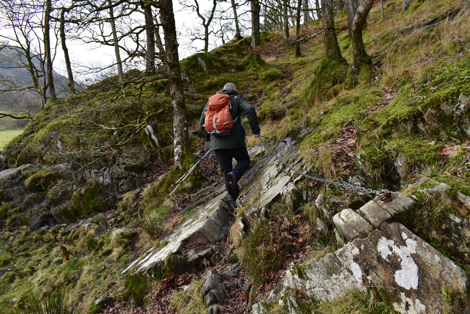 |
| Ohh...those chains... |
| Seeing that this was my first visit along this section of the path I hadn't known about the 'chains' which were put in place to help people cross an awkward section of rock which I found very simple yet effective. |
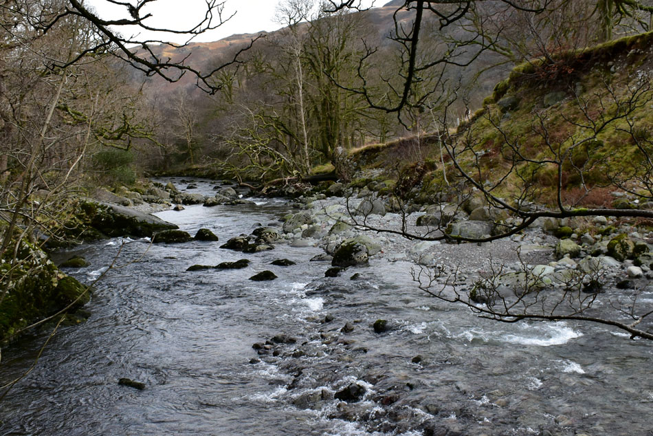 |
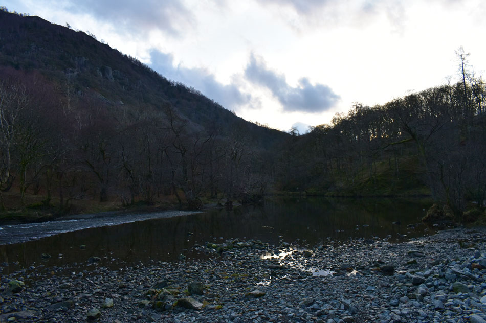
| The River Derwent. |
| David informed us that the river bank on the opposite side has been washed away over the years which I'm not surprised at as Combe Gill, Grains Gill and Styhead Gill all flow into the Derwent just a couple of hundred yards further up stream. |
 |
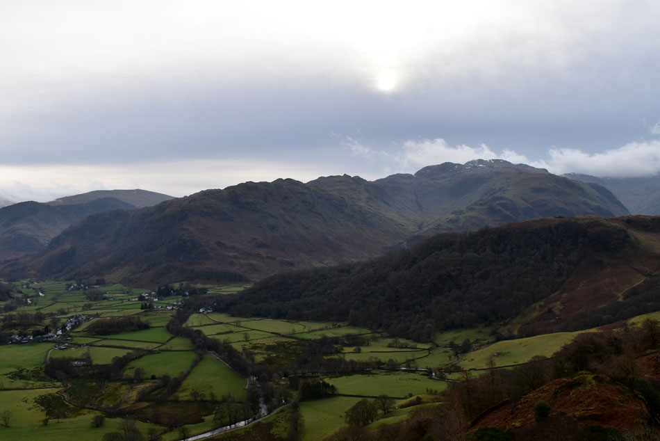
| Thornythwaite Fell, Combe Head, Glaramara and Seathwaite Fell (right) from Folly Bridge, Borrowdale. |
| With the River Derwent Below. |
 |
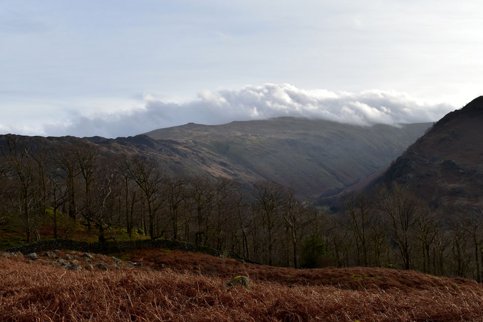
| Views into Seathwaite as we head towards Glaramara Outdoor Centre. |
| With Base Brown over on the right, Seathwaite Fell (left) and a distant Lingmell (right) |
 |
| Sunlight streaking over Rosthwaite Cam and Thornythwaite Fell. |
| We left the footpath not far behind Glaramara Outdoor Centre and began the steady ascent on HIgh Dote. |
 |
| Despite the low cloud at the head of Seathwaite valley we can still pick out the summits. |
| Great End is seen far left in cloud with Seathwaite Fell below, beyond we have Lingmell while further right we have Base Brown, Great Gable, Grey Knotts and finally Seatoller Fell, that's a big view even in with cloud! |
 |
| Splendid. |
| |
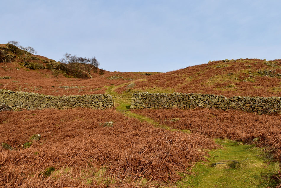 |
| Passing through the wall on-route towards High Dote. |
| Even though the sunlight only lasted around twenty minutes or so it was great to feel the heat against your face at a point when people in their homes are looking at dull, grey murky forecast when in reality we're getting little treats of sunshine, these 'low confidence' forecast really do frustrate me at times...argh! |
 |
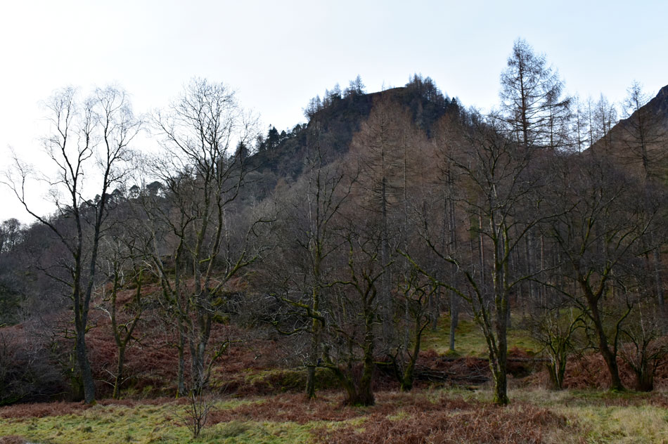
| Ullscarf summit below cloud. |
| However, for those walking from Stonethwaite pushing north towards Ullscarth weren't so lucky where cloud had been hovering just above the summits all morning despite the best efforts from the high winds the cloud just kept coming. |
 |
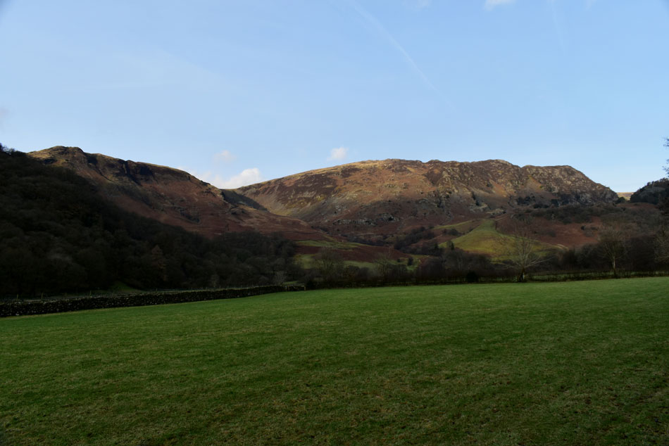
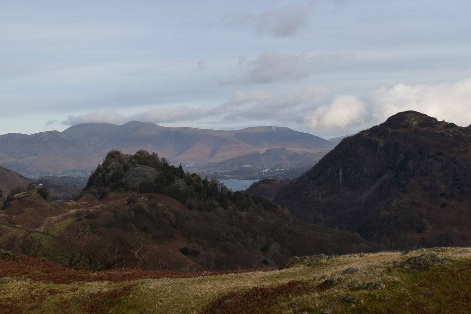
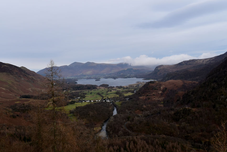
| Low Scawdel, Castle Crag and Kings How from High Dote summit. |
| Of course not forgetting a cloud topped Skiddaw over 9 miles away with Lonscale Fell seen further right. |
 |
| Castle Crag and King's How from High Dote close up. |
| |
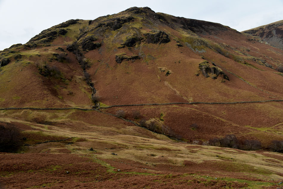 |
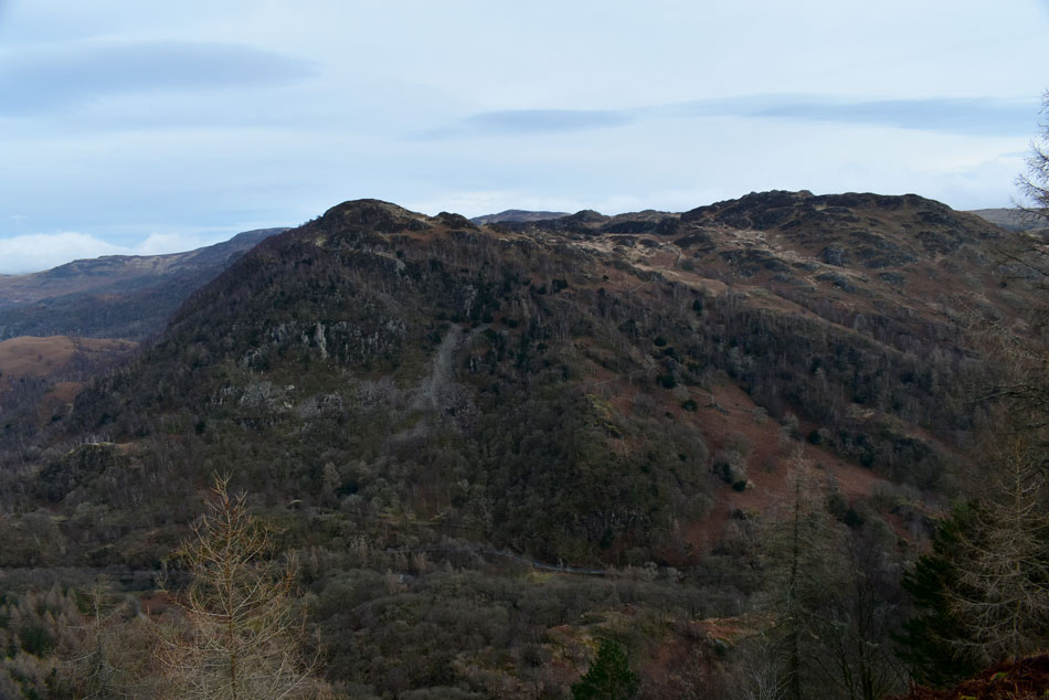
| Descending High Dote with High Scawdel dominating the view. |
| The descent is steep at first but quickly eases all the way down towards the stone wall below where we pass over a wooden sty onto the path bound for Castle Crag. |
 |
| Castle Crag and King's How taken during the descent of High Dote. |
| |
 |
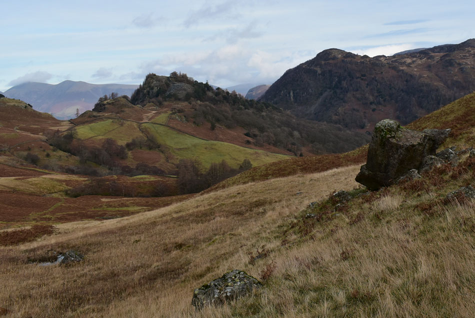
| Castle Crag and Skiddaw from the top of Broadslack Gill. |
| We never saw anymore sunshine between High Dote and reaching Castle Crag, in fact we seemed to be walking with our heads into the wind but it was cope-able and most importantly it remained dry and clear which reminds me, Skiddaw is now cloud free but for anyone at its summit I can only imagine they are holding on for dear life in those winds. |
 |
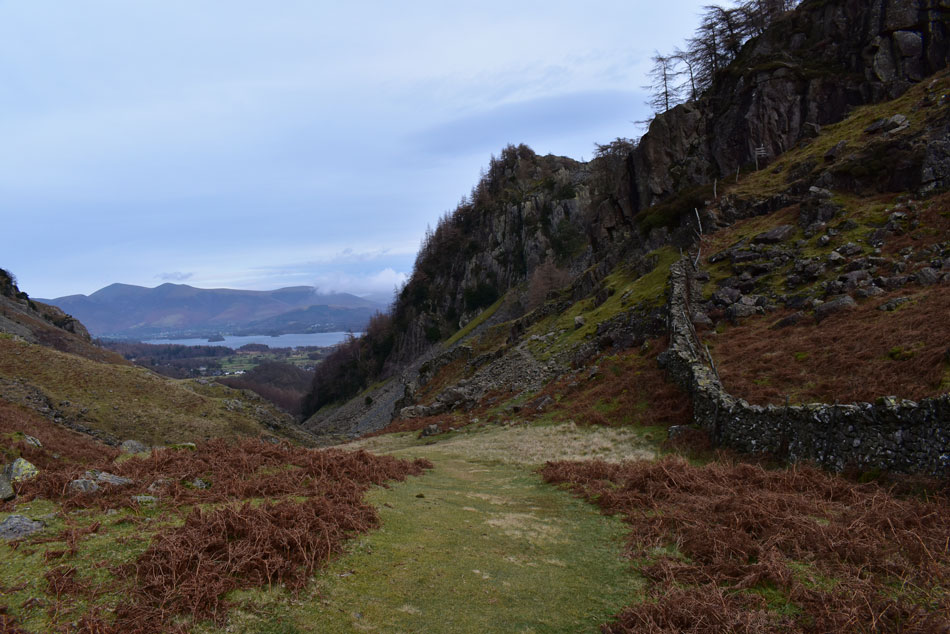
| Castle Crag. |
| We left the top of Broadslack Gill and began the quickest ever ascent on Castle Crag I have ever done reaching the summit in no more than ten minutes. We had seen earlier that crowds were gathering and once below the slate zigzags these same crowds were either in ascent of descent, inside it was a tad frustrating but nowt was said, not even amongst each other but our frustration must have travelled down to our boots as we ascended our way through the zigzags not stopping until the summit was reached. |
 |
| High Dote, Thornythwaite Fell, Combe Head, Glaramara, Rosthwaite Fell (Bessyboot) Eagle Crag, Sergeant Crag and High Raise (Langstrath) from Castle Crag summit. |
| |
 |
| The River Derwent, Derwent Water, Cat Bells, Walla Crag, Skiddaw and Lonscale Fell from Castle Crag. |
| By the time we arrived at the summit most of the crowds were sheltering behind the large crag that make up the summit and who could blame them, it was pretty chilled at the summit not helped by an increasing wind which nipped at exposed skin. |
 |
| King's How and Grange Fell from Castle Crag. |
| |
 |
| Looking back towards High Dote and the path we had taken to reach Castle Crag. |
| It was agreed during the burst of energy that took us to the summit that once we'd taken our photo's we'd head back down, find shelter and break out lunch which we did directly below the summit crags. We were out of the wind and comfortable during our lunches while contemplating the variety of food you could eat on bread,,,David won the round with several hilarious answers that he'd already tried the best of which was pizza sandwiches,,,good grief we did laugh! |
 |
| Castle Crag from the top of Broadslack Gill. |
| |
 |
| Walla Crag peaks out between the treeline. |
| While descending Broadslack Gill. |
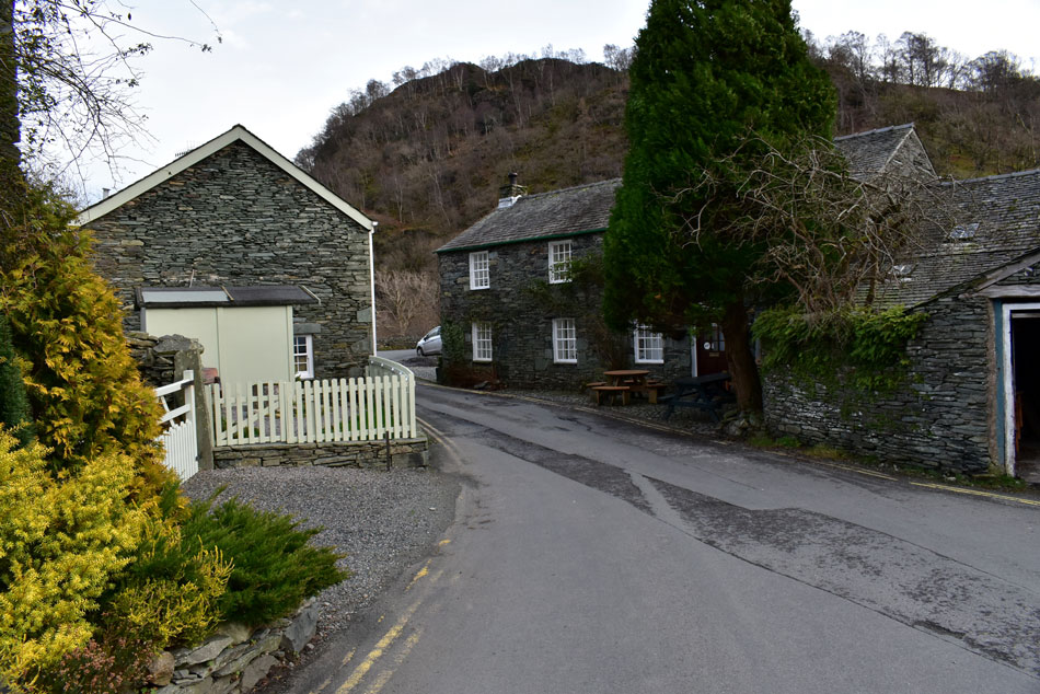 |
| Back at Grange, Borrowdale. |
After lunch we packed up and re-shouldered our packs and began the descent of Castle Crag just as quickly as we had ascended stopped only by one girl who asked "excuse me is this Castle Crag" while looking down at her mobile phone, we of course confirm and further down agree that people are still using the likes of Google Earth to navigate through Lakeland but as you know, once the mobile hot spots are lost so is the signal. With that behind us we began the descent of Broadslack Gill where we are passed by walkers heading up and Hi's are shared. By now we have left the wind confined to the summits and it's feeling mighty warm and I think we were all pleased to reach our cars back at Grange just so we could remove layers. Todays walk wasn't the walk I expected where I would usually end my walking year on Skiddaw or Helvellyn but you know what, little Castle Crag set within the jaws of Borrowdale packed just a bigger punch as any of the three thousanders.
Once again I would like to thank you from the bottom of my heart for being part of this website.
Happy New Year for 2020 |
|
| |
| Back to top |
 |
|